Home / Mojave Preserve and Desert bikepacking trips / 2008: Mojave National Preserve Mountain-Bike Camping and Hike / Day 6: Coyote Springs to Butcher Knife Canyon via Kelso Depot and Death Valley Mine Road, Mojave National Preserve 43
I haven't seen any people in the Coyote Springs area since leaving the pavement of Kelbaker Road two afternoons ago.
The day's bicycle travels include a bit of everything to keep things interesting and test my physical and psychological ability to switch from mileage-covering road cyclist to mountain biker to backpacker-like hiker dragging a 10-ton bike. 38.8 bicycle miles.
After a few miles of mostly ridable dirt and sand upon leaving Coyote Springs near 3200 feet, I get 8 miles of paved downhill highway biking on Kelbaker Road to Kelso Depot at 2100 feet. Then I will climb 14.5 miles of gentle uphill on paved Kelso-Cima Road to 3700 feet, followed by a couple of miles of steeper climbing on the paved part of Cedar Canyon Road to reach 4500 feet.
Mountain-bike mode and hike-a-biking alternate during the final slow, rolling, nine miles on sand and dirt roads to the old corral below lonely Butcher Knife Canyon at 4600 feet. I won't see any people after I leave the pavement of Cedar Canyon Road.

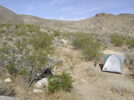 Early morning coffee-making at Coyote Springs, Mojave National Preserve
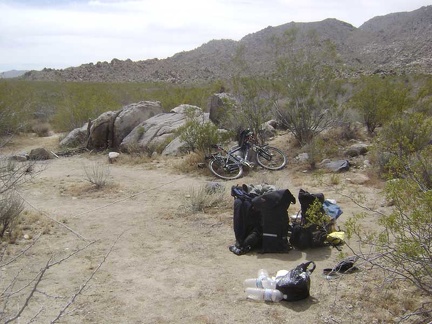 Breaking camp and packing up
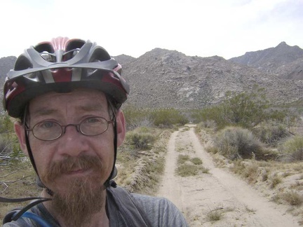 OK, I'm finally on my way down the road away from Coyote Springs
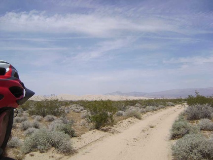 I've got three miles of this somewhat sandy road from Coyote Springs to ride on a slight downhill
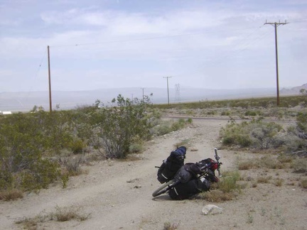 After 30 minutes, I reach the pavement of Kelbaker Road
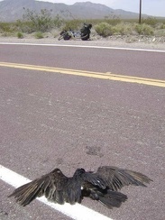 A roadkill specimen greets me just as I'm about to start the ride down Kelbaker Road
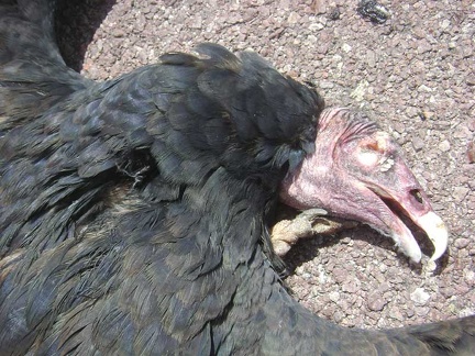 I can't resist taking a closer look at this big bird
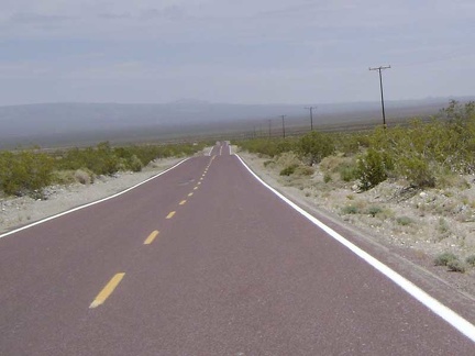 The 8.5-mile descent down Kelbaker Road to Kelso Depot is always fun
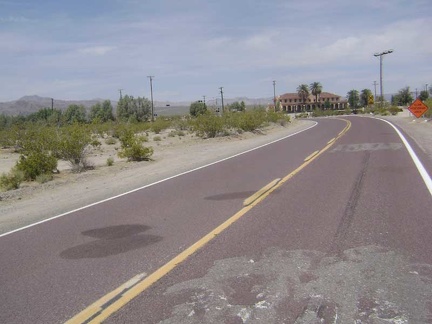 One hour after leaving Coyote Springs, I pull into the Mojave National Preserve visitor centre at Kelso Depot
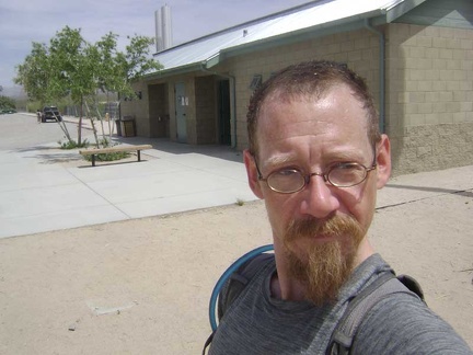 I also visit the washrooms outside Kelso Depot to wet my hair and rinse one of my wool t-shirts and a couple of other items
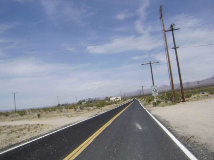 After my 45-minute break at Kelso Depot, I begin the next segment of today's ride: Kelso-Cima Road toward the New York Mountains
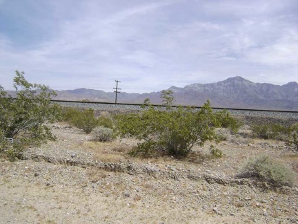 As I climb the Kelso-Cima Road grade, train tracks are always to my right near the road on a raised bed
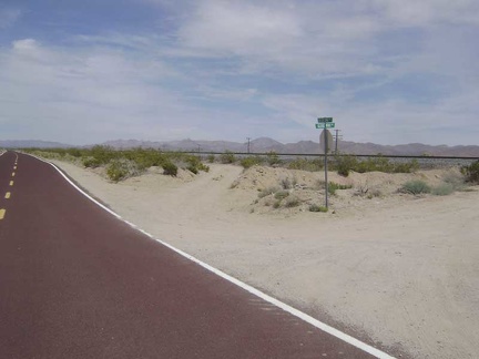 After 3.8 miles, I pass Globe Mine Road, where I camped for three nights a few days ago
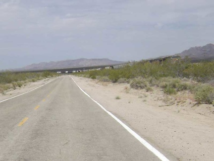 A train just passed me on the Kelso-Cima grade
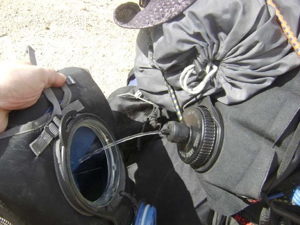 I pull off the road for a short break and to refill my Camelbak from my 10-litre water bag
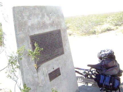 I take another break when I reach the end of my Kelso-Cima Road climb at the junction of Cedar Canyon Road
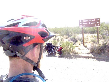 When people come down Cedar Canyon Road, here's the sign that they see when they reach the end at Kelso-Cima Road
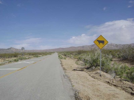 Welcome to Cedar Canyon Road
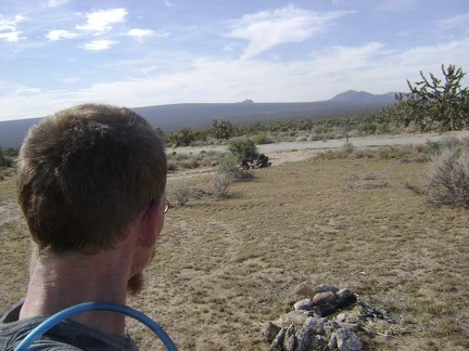 After another half hour, my two-litre Camelbak is empty again, so I take a break at a pull-out along Cedar Canyon Road
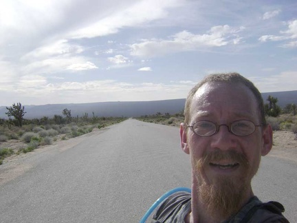 I resume the climb up Cedar Canyon Road and stop to enjoy the view down the road from where I just came
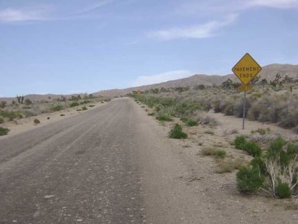 A little higher up Cedar Canyon Road, the pavement ends, just like the sign says
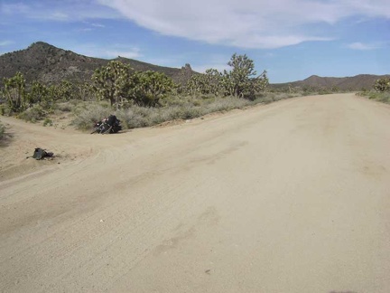 I reach Death Valley Mine Road and turn left here to begin skirting around the west side of the New York Mountains
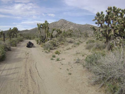 Death Valley Mine Road winds around the base of the mountains
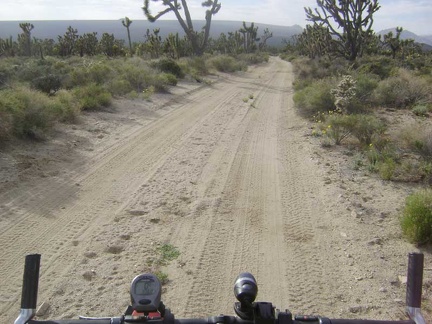 The first mile or so of Death Valley Mine Road is rideable despite some sand on the road because it's a bit downhill
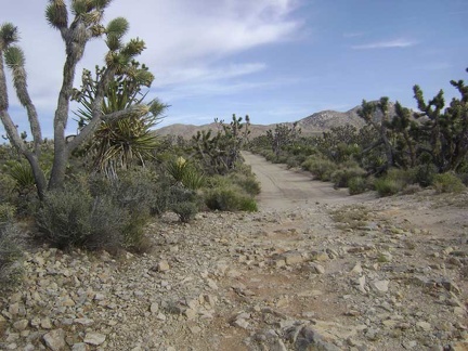 It's not only sand here: rocky patches on Death Valley Mine Road provide quite a contrast to the slippery sandy segments
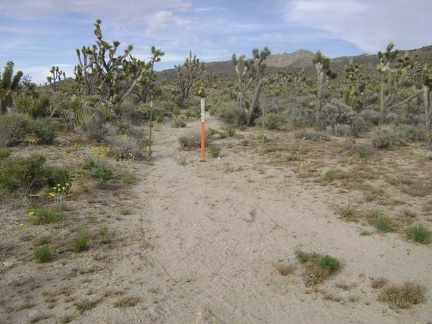 I pass an old road that is now closed by Wilderness barriers
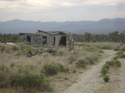 I arrive at the ruins of the old Thomas Place homestead
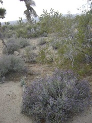 I'm starting to see some blooming sages in this area
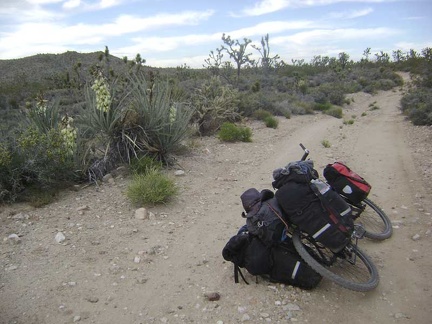 Low-growing banana yuccas are also frequent around here
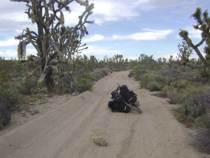 The last mile or two of Death Valley Mine Road is very sandy in places, in addition to being slightly uphill
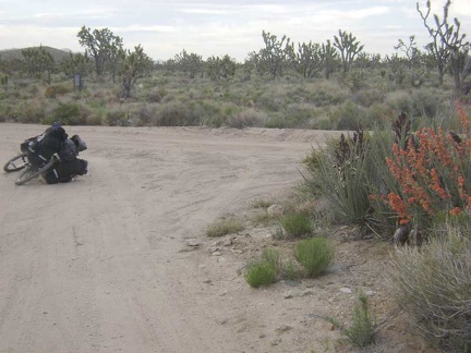 A brilliant display of desert mallow flowers marks the end of Death Valley Mine Road; I'll turn right here on the old Cima Road
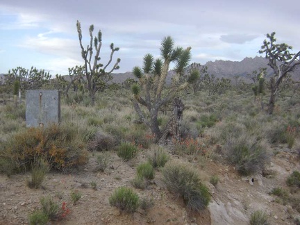 Well, the old sign isn't legible any more
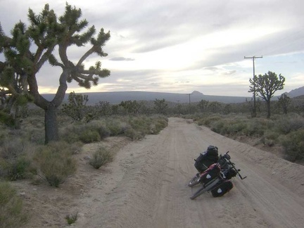 I start dragging the bike up the old Cima Road, which is turning out to be really sandy
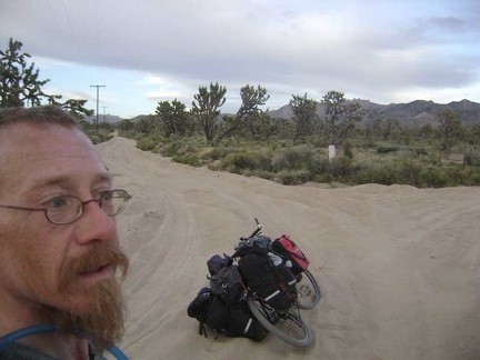 Ugh, the road is getting even sandier
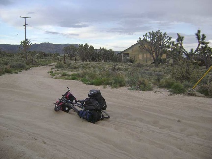 I look across the sand trap here and ponder the abandoned buildings at Death Valley Mine
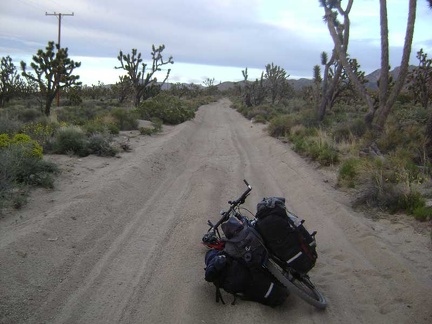 I figure I may as well continue onward a little further and see if the deep sand lets up
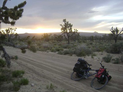 Dragging the 10-ton bike through the sand is quite tiring and I'm expending a lot of energy here
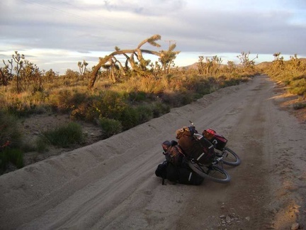 For a few minutes, that famous orange light of desert sunset oozes across the land
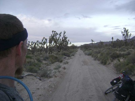 The orange light of sunset vanishes as quickly as it appeared
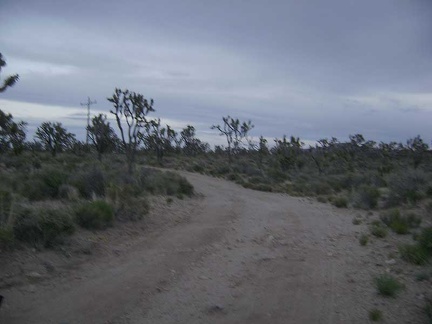 Dusk at the top of Cima Road
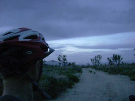 On the last leg of the trip toward Butcher Knife Canyon, I can actually ride some of the road
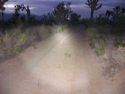 It's too dark now, so I ride and walk the final couple of miles slowly by headlight
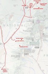 Mojave National Preserve map, Day 6: Coyote Springs to Butcher Knife Canyon corral