Home / Mojave Preserve and Desert bikepacking trips / 2008: Mojave National Preserve Mountain-Bike Camping and Hike / Day 5: Afternoon hike to an old mine site in the Bighorn Basin hills, Mojave National Preserve 49
I won't see any people today. It's not a long hike, but it's dramatic due to the steep terrain, with no relatively flat land except for the the half mile closest to my campsite.
Total elevation gain (and loss) of 1425 feet as I follow the switchbacks of a steep, grown-in road up a hill, into the secluded gorge of Devil's Playground Wash, then up a mountainside in the Bighorn Basin area of the Granite Mountains.
From my campsite at North Coyote Springs at 3150 feet, the hike climbs to the first summit at 3600 feet, drops quickly to the bottom of Devil's Playground Wash at 3275 feet, then climbs to the second summit above the upper mine at 3875 feet, 5.25 miles round-trip.

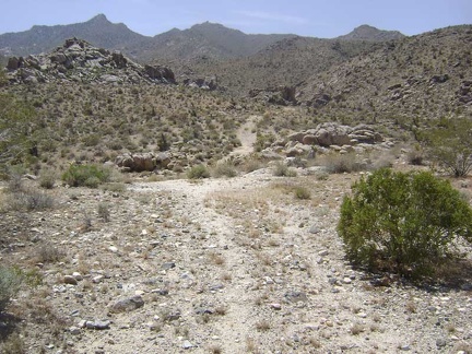 OK, here we go; I've been looking forward to this hike over the hill into the Bighorn Basin area of the Granite Mountains
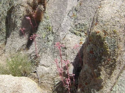 A few desert dudleya grow in the rocks along the old road
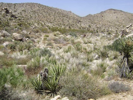 The old road crosses the dry creek here in the grasses and then begins its ascent up the hillside
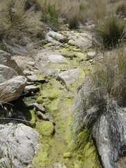 Today, some moisture, mud and algae remain in the otherwise-dry creek at North Coyote Springs
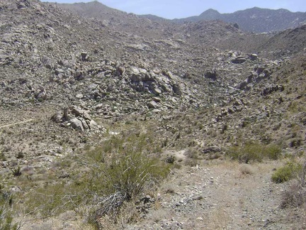 The road rises steeply up from the North Coyote Springs creek; I look behind me to see how much I've risen in such a short time
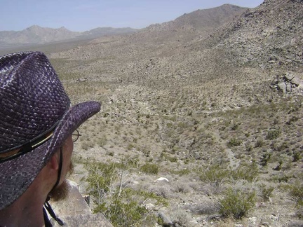 After another steep switchback and a bit more climbing, the views get even better
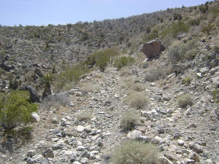 The steepest part of the climb is over for now and the old road switchbacks gently around the crest of the hill on a ledge
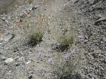 Flowers growing in the middle of the old road
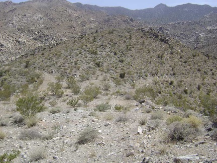 I reach the summit of the old road at "Hill 1114"
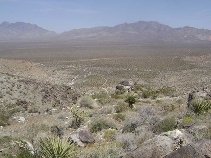 From Hill 1114, I get my last glimpse of the Providence Mountains before I head down into Devil's Playground Wash
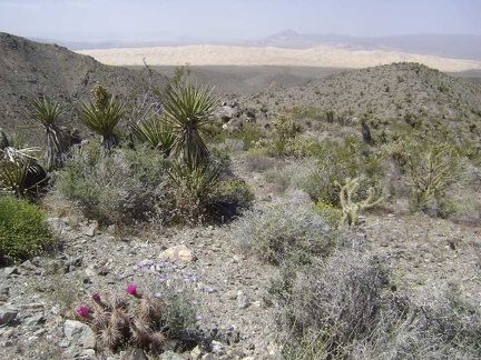 Hill 1114 also offers an excellent view of the Kelso Dunes from above
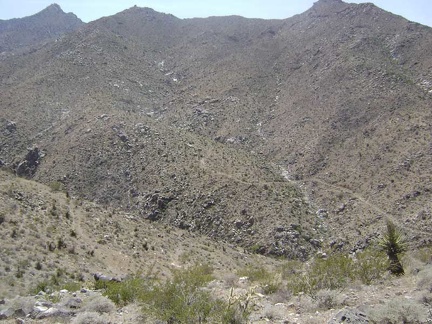 I get my first view down into the gorge of Devil's Playground Wash and the old mining road that rises up the other side
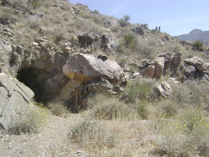 On the way down, but still up high, I pass a mine tunnel that's not indicated on my map
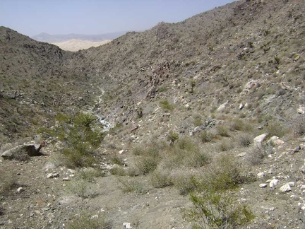 I continue walking down the middle of the old road, which is almost invisible in places
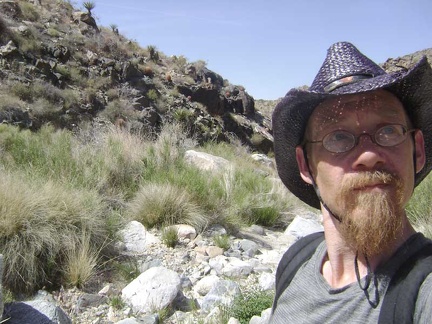 I arrive at the bottom of the hill in Devil's Playground Wash and look for the road rising up the other side
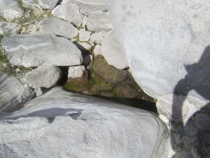 One very small pool of water remains between some rocks in Devil's Playground Wash right now; it's otherwise dry down here
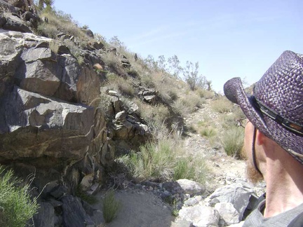 Apparently, a lot of water (and rocks) from the mountains runs down this wash during the wetter months. This must have hindered access to the old mine up on the mountainside.
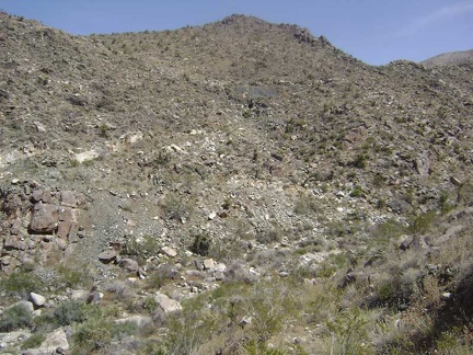 As I climb up the other side, I look over to the hill that I just descended
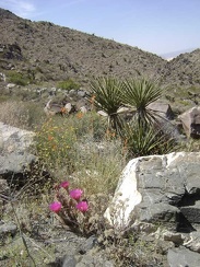 Splashes of color begin to appear as I get a little higher
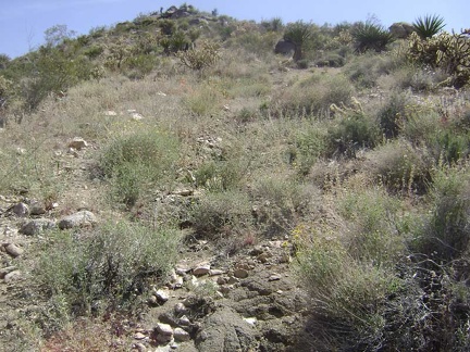 The highly eroded road gets confusing to follow in a few spots
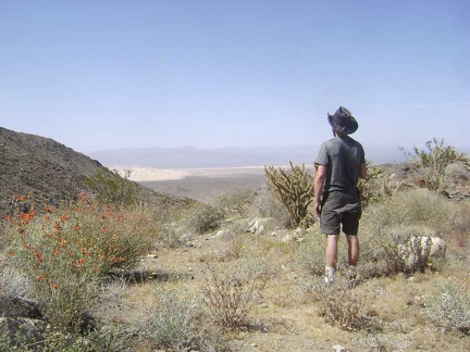 I stop for a break and a Clif bar on a small flat area to take in the view of the Kelso Dunes that has been behind me
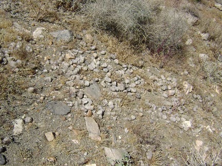 I notice a scattering of scat just behind me
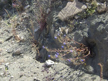 Other splashes of color are provided by the fairly abundant phacelia flowers in the area
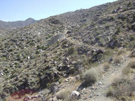 I come around a bend and it looks like the road will end at the mine tunnel and tailings pile ahead
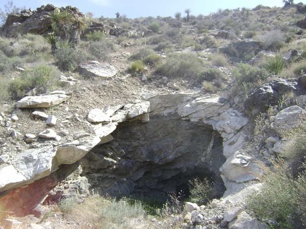 Approaching the tunnel at the Bighorn Basin Mine
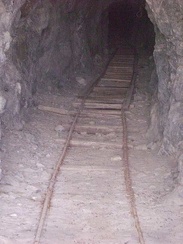 An old track leads into the Bighorn Mine tunnel
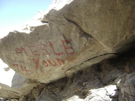 A rock at the entrance to the mine is painted with "Merle Young 74"
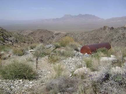 Outside the tunnel entrance on the flat area composed of tailings sits a big tank of some kind
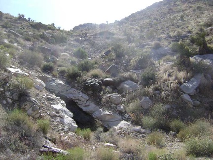 I see the remains of something up on the hill above the tunnel, perhaps an old roof
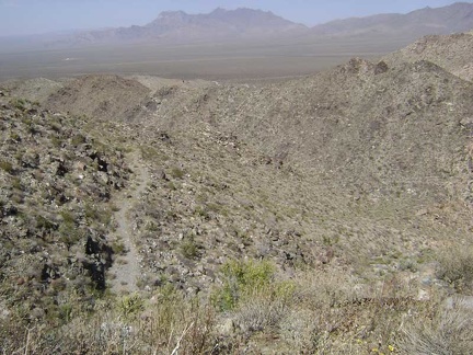 The views were already great, but now I'm way above the main mine road below as I climb the switchback to the upper area
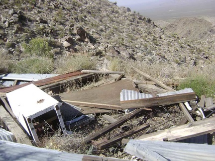 Debris from an old collapsed cabin, including its refrigerator, sits at the top of the road at Bighorn Basin Mine
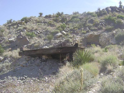 Near the collapsed cabin is a platform in front of another tunnel, which happens to be right above the lower one
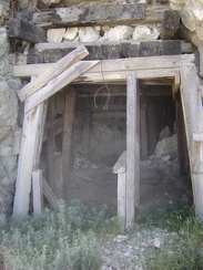 Entrance to the upper tunnel at the Bighorn Basin mine
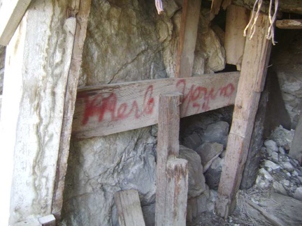 Just inside the upper mine tunnel is another signature from "Merle Young 74"
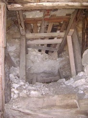 The upper tunnel isn't carved very deeply into the hillside
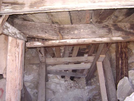 One of the support beams in the ceiling of the upper tunnel has cracked
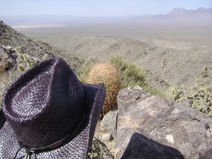 I sit down for a break on a boulder just beyond the upper Bighorn Basin mine and take in the visuals at about 3875 feet
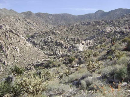 While sitting here, I ponder the view to my right further up Devil's Playground Wash in Bighorn Basin
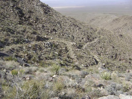 Alas, all good things must come to an end, so I begin my hike back toward camp at the end of my short break
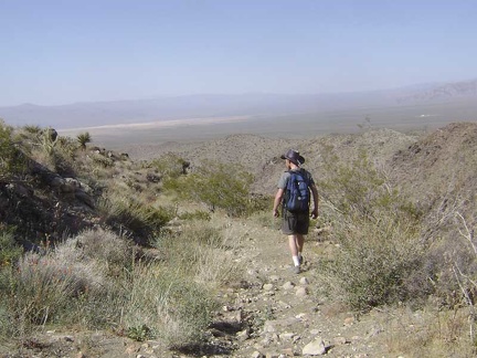 The return hike down into Devil's Playground Wash allows me to walk toward some great views that were behind me on the way up
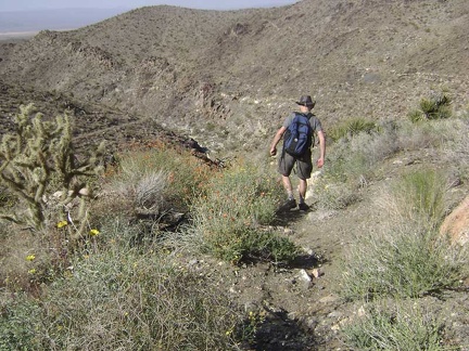 On the steeper, more eroded parts of the road, it's a bit slippery going downhill and almost like hiking cross-country
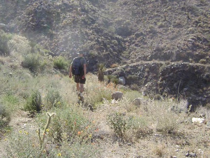 I'm not getting tired of the flowers, rocks and cacti as I walk back down to Devil's Playground Wash
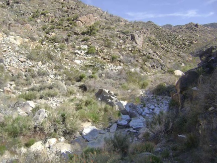 I arrive back down at Devil's Playground Wash in what feels like no time at all
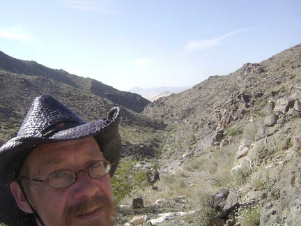 Climbing out of Devil's Playground Wash, I'm starting to feel the heat of the day with the sun shining on my back
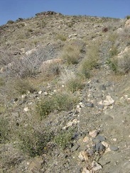 The climb up the old road over the tailings pile is steep
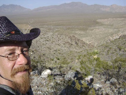 After crossing the summit again at Hill 1114, I take a short break in the first shade of the day before hiking down to my tent
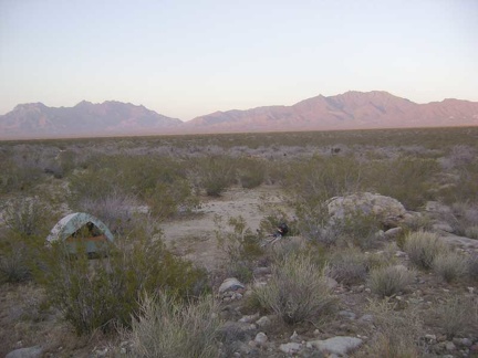 Back at my tent well before sunset, I rest and eat a little, then take a few photos before the sun fades away
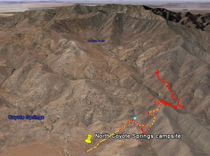 Bighorn Basin Mine hike as viewed in Google Earth (5.25 miles)
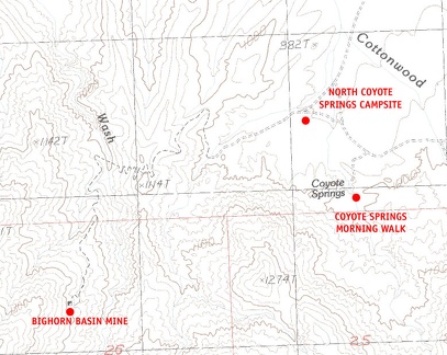 Mojave National Preserve map, Day 5: Bighorn Basin Mine day hike from Coyote Springs