Home / Mojave Preserve and Desert bikepacking trips / 2008: Mojave National Preserve Mountain-Bike Camping and Hike / Day 2: Eight-mile day hike from campsite on middle fork Globe Mine Road to Tough Nut Mine via Good Hope Mine and back 58
I won't see any people today. Perched on a hill at 4100 feet in the shadow of the Providence Mountains, about 4 miles from my campsite at 3000 feet, the old Tough Nut Mine sits in a Wilderness area and can thus be reached only by foot or horse.
I fumble cross-country over hills and into washes and eventually find the old grown-in road leading to Tough Nut Mine. However, I only have enough time to visit the lower mine ruins when I get there.
The round-trip hike will take a little more than six hours. Distance is estimated at eight miles, but is probably longer than that because of constant zigzagging to avoid often-spiky plants while hiking cross-country.
Unfortunately, some of today's photos are overexposed due to a camera-setting error.

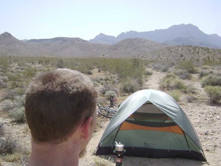 Making coffee outside my tent near the end of the middle fork of Globe Mine Road, Mojave National Preserve
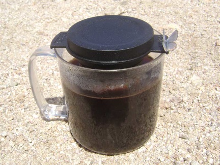 A bluish-grey moth with subtle peach trim visits my cup while coffee is steeping
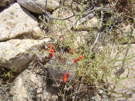 Red cactus flower buds near my tent
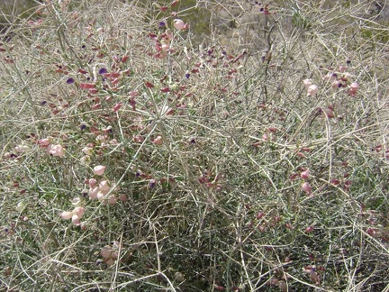 Paper-bag bush (aka salazaria mexicana, bladder sage) growing near my tent
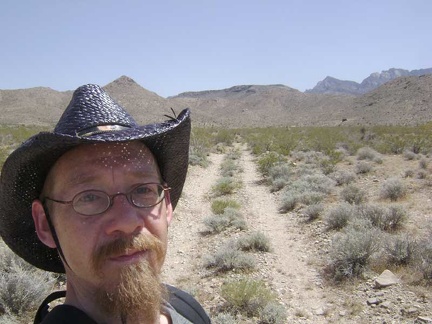 It's 13h and I finally get started on today's hike to Tough Nut Mine
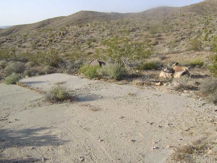 Just before arriving at the mine sits a concrete platform on the side of the road
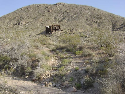 Approaching the Good Hope Mine at the end of the middle fork of Globe Mine Road, Mojave National Preserve
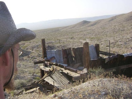 I look down at the remains of a structure up at the mine site
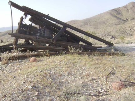 A collapsed structure at the mine site at the end of the middle fork of Globe Mine Road
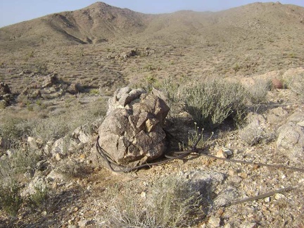 Boulder with heavy-duty wire tied around it
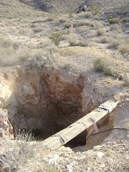 A shaft at the mine site at the end of the middle fork of Globe Mine Road
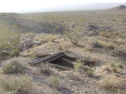 Another mine shaft sits nearby
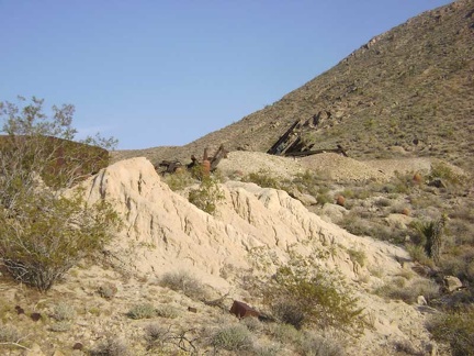 Tailings from the mine at the end of the middle fork of Globe Mine Road
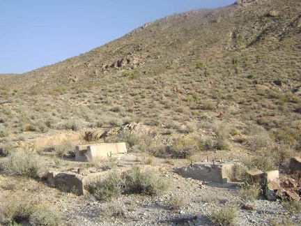 Old concrete foundations for something
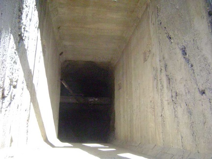 This shaft at the mine site has concrete walls
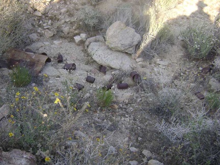 Can dump at the mine site at the end of the middle fork of Globe Mine Road
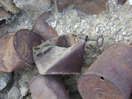 Close-up of a few cans at the mine site at the end of the middle fork of Globe Mine Road
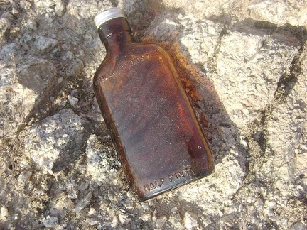 Federal law prohibits sale
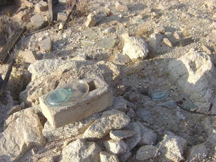 Bluish turquoise glass
 I see what looks like an old road up on the hill above, which is not on my maps
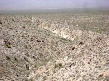 The old remnant of a road ends here on the crest of the hill at a small mine shaft; I continue walking cross-country
 From the top of the next low ridge, I look for an easy descent down to the next wash
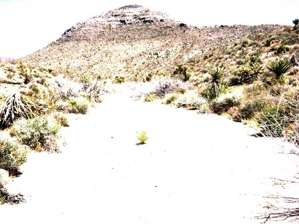 I walk a quarter mile up the wash, looking for signs of the old road to Tough Nut Mine
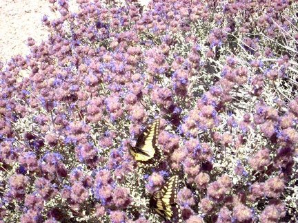 A pair of butterflies are having a great time in these sage blossoms
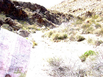 I stop at this small side wash and get out my map and compass to see if this might be the old road to Tough Nut Mine: wrong!
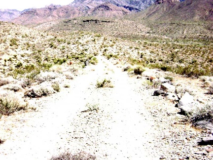 I climb over the next hill and recognize my location as the end of the south fork of Globe Mine Road
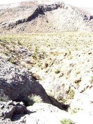 After hiking 20 minutes up the big wash, I'm again getting that feeling that I may have missed the road to Tough Nut Mine
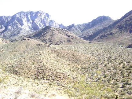 It was a good decision to climb to this crest; I can now see part of the road to Tough Nut Mine in the distance on my left
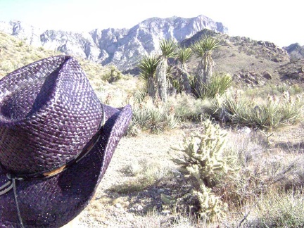 Down at the bottom of the hill live many happy yuccas, some blooming, and spiky cholla cacti
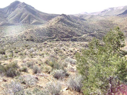 After climbing a gap between hills where the old connector road should be, I've ended up above the road to Tough Nut Mine
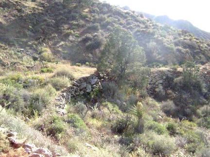 I hike up the old road to Tough Nut Mine, which hasn't been used by vehicles in many years and is slowly returning to nature
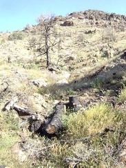 There aren't many pine trees up here, so it's odd to see that some of them burned recently
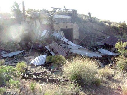 It's a bit past 17h when I finally arrive at the Tough Nut Mine ruins
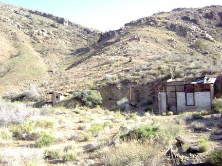 Overview of the Tough Nut Mine area, Mojave National Preserve
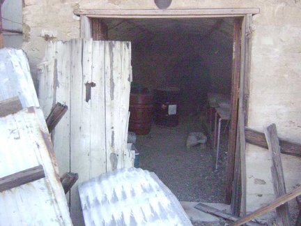 An open tunnel at the Tough Nut Mine
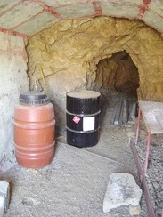 Entering the Tough Nut Mine tunnel
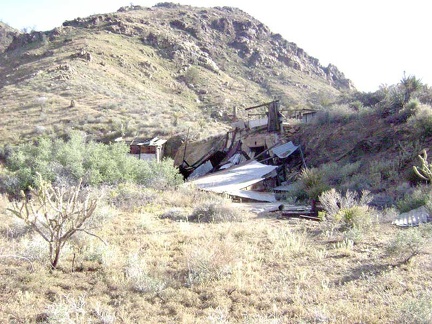 Another view of the Tough Nut Mine site
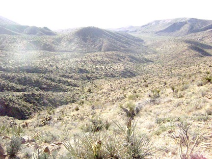 Perched up on this hill, the Tough Nut Mine site offers many great views, including this one to the northeast
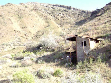 The outhouse here at Tough Nut Mine is a concrete structure
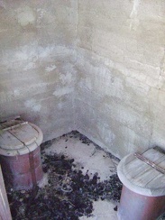 Apparently, Tough Nut Mine was truly luxurious, with two toilets in the outhouse rather than just one
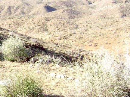 Not far from the outhouse at Tough Nut Mine rest some rocks and a tiny wooden cross to mark a grave site
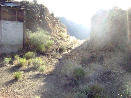 It's 17h20, so I leave Tough Nut Mine and begin the hike back to camp, passing through the slot excavated into the hillside
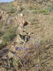 These blue flowers are abundant wherever rock support walls exist along the old roadbed
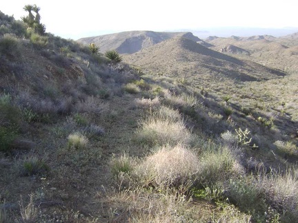 I continue my descent down the old road from Tough Nut Mine
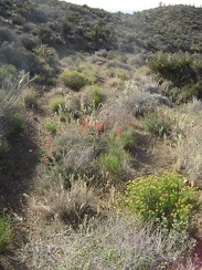 Reddish-pinkish-orange Indian paintbrush decorates the old roadbed here and there
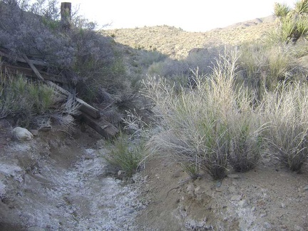 The old road that has been serving as an excellent trail so far drops into a narrow wash and disappears
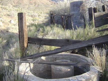 In this narrow wash, I stumble across some old installations: a waterless cistern and a water tank, probably also dry
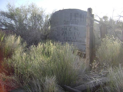 Close-up of the old water tank and the painted-on names of its owners
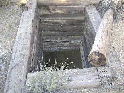 I find the well that is marked on my map
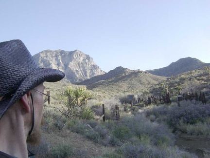 I take one last look at the old corral and water tank and continue my hike down the narrow wash back toward camp
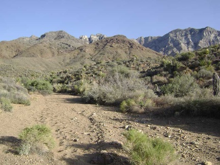 At the bottom of the narrow wash, I rejoin the wide wash that will lead back to the south fork of Globe Mine Road
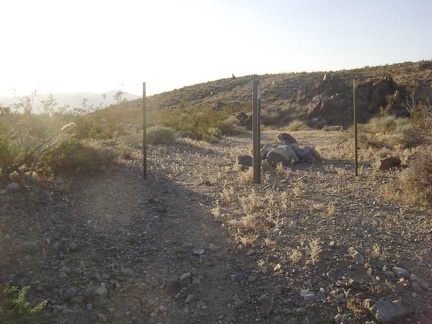 After hiking down the wash for 1/2 hour, I exit the Wilderness boundary and start walking down the south fork of Globe Mine Road
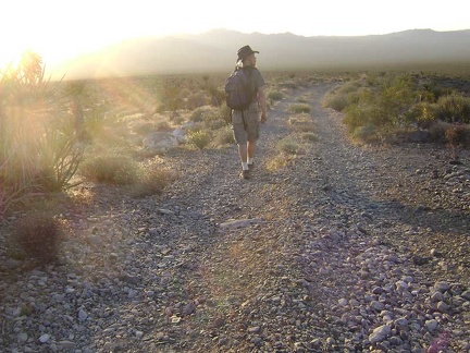 I walk down the fan on the south fork of Globe Mine Road, enjoying the sun behind the Marl Mountains
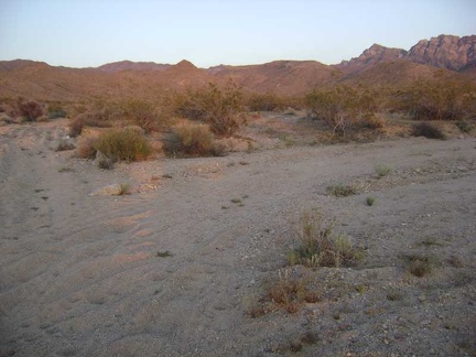 I walk down the shortcut road that I followed last night and arrive again at the junction of the middle fork of Globe Mine Road
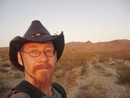 Sunset, my favourite time of day, on the middle fork of Globe Mine Road, approaching my campsite
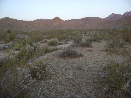 There's my tent, I'm back home and ready to settle in for the evening
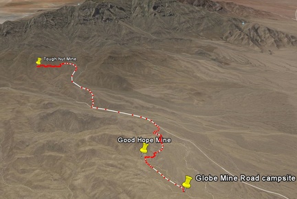 Tough Nut Mine hike route as viewed in Google Earth (8 miles)
 Mojave National Preserve map, Day 2: Globe Mine Road campsite to Tough Nut Mine day hike (8 miles)