Home / Mojave Preserve and Desert bikepacking trips / 2008: Mojave National Preserve Mountain-Bike Camping and Hike / Day 3: Six-mile day hike from campsite to Bolder Spring, then over ridges to old mine site off Globe Mine Rd 68
I won't see any people today again. I have just enough water to stay at my campsite another day, so I'll hike over to probably-dry Bolder Spring, about two miles away, just to explore, and to see if any extra water exists over there.
I'll leave camp around 11h and get back around 16h30. My daypack includes the usual items, including my Camelbak and two 1.5-litre bottles of water, which turns out to be adequate, but not optimal. I'll eat two Clif bars and a couple of handfuls of dried apricots during the day.
Because it's not so windy this morning, it's fairly noisy around the tent while I make coffee due to humming insect life, none of which seems much interested in me--fortunately.

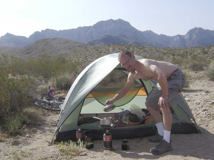 Morning #2 at my campsite off the middle fork of Globe Mine Road, I repeat the ritual of making coffee in the shade of my tent
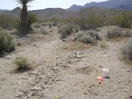 After breakfast, it's that wonderful moment I've been waiting for: digging a cat hole
 I'm off early (for me) on today's hike to the Bolder Spring area, which begins with a 1/4-mile walk down Globe Mine Road
 I arrive at "sand-pit junction" again, where the shortcut road joins up with the middle fork of Globe Mine Road
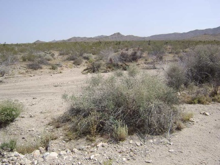 OK, I guess this is a good place to stop descending Globe Mine Road and start hiking north across the fan toward those hills
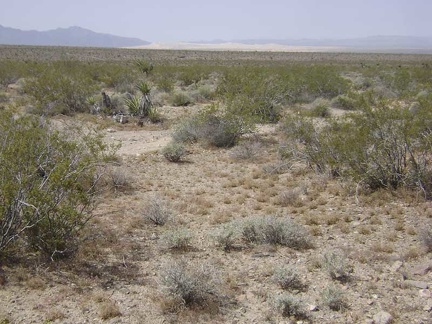 As I hike across the fan, I rise slowly and can see Kelso Dunes down below when I look behind me
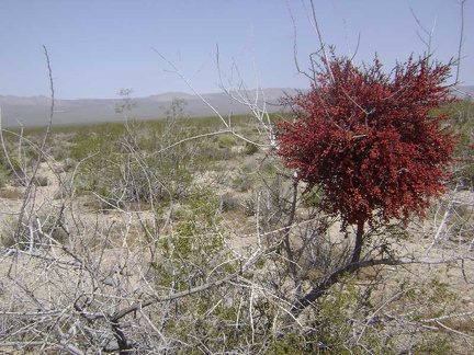 This mistletoe is covered with bright red berries
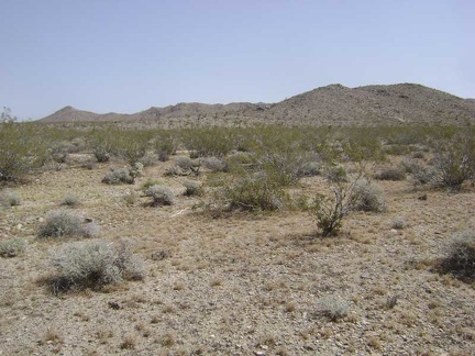 Parts of this fan host fewer creosote bushes than usual, allowing many tufts of ankle-low grasses to grow
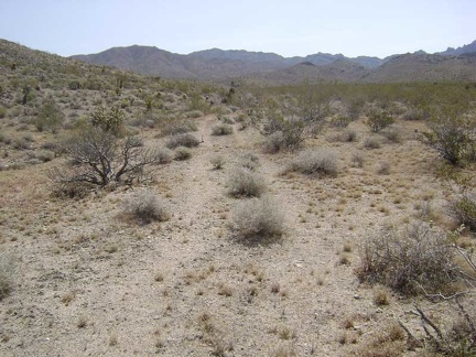 And voilà, here it is: what's left of the old road to Bolder Spring
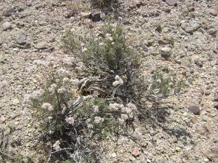 Some of the buckwheats growing around here look rather old
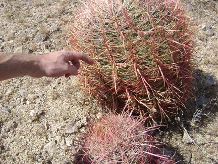 It's hard to resist touching (carefully) the hard spines of a barrel cactus once in a while
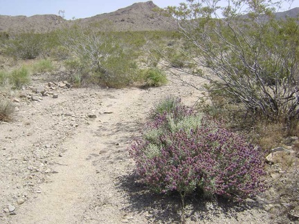 I'm starting to see a few purple blooming sages in this area like the ones I saw yesterday on the way to Tough Nut Mine
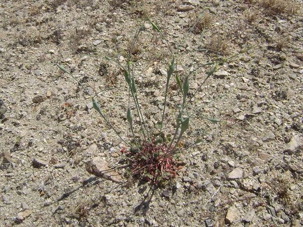 Naked buckwheat (eriogonum nudum) is fairly common around here
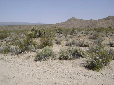 Glancing north, I see a piece of the north fork of Globe Mine Road slithering around a hill
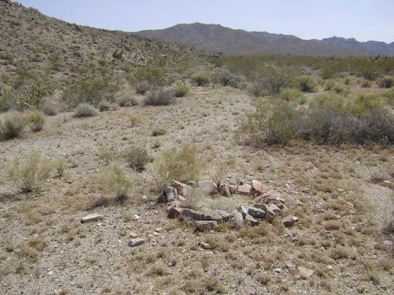 Fire ring along the former road to Bolder Spring
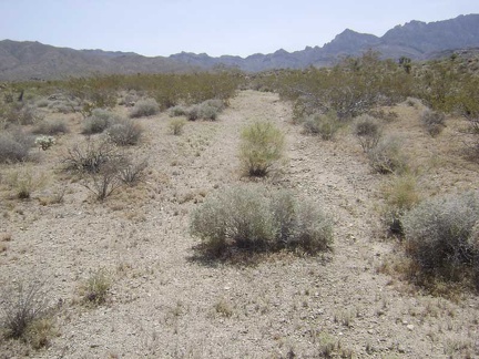 The former road to Bolder Spring is being erased by the forces of nature
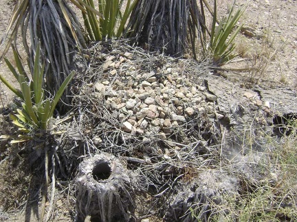 At the base of these yuccas is a pile of twigs covered with gravelly rock
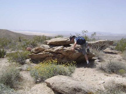 This nearby rock outcrop will serve as a nice spot for a short break
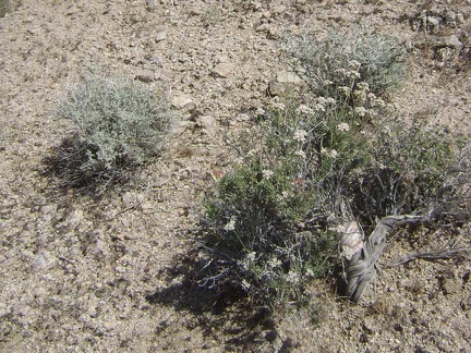 More white-flowered buckwheat
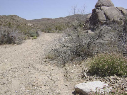 I continue walking up the wash toward Bolder Spring
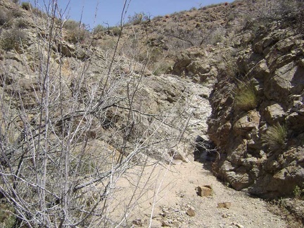 The old road to Bolder Spring is leaving the fan in favour of the foothills, and the scenery is becoming more intimate
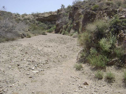 I return to the main wash and follow it further upward as it carves its way slowly into the base of foothills
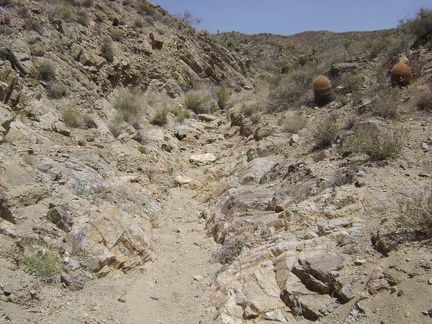 The "road" to Bolder Spring narrows
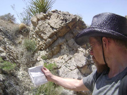 Time for a map-and-compass check to see if I can figure out where Bolder Spring is supposed to be
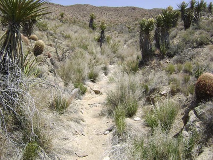 Well, there are some water-indicating grasses growing here...
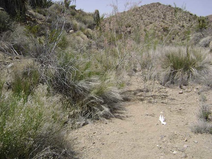 I'll make a guess that Bolder Spring is here to the left of those bones somewhere
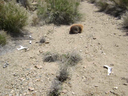 A few more bone pieces
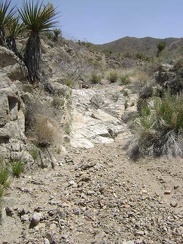 Beyond the dry Bolder Spring, the old "road" doesn't get any better
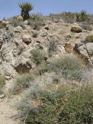 Desert mallow growing in the Bolder Spring wash
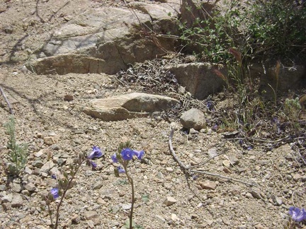 Blue flowers in the Bolder Spring wash
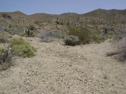 I hike a little further up Bolder Spring wash and reach a fork
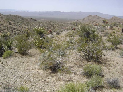 Climbing out of the wash, I look back and see the crevice that I just hiked cutting across the foothills
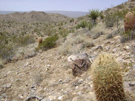 As I approach a saddle on the hills, a large rock along the way invites me to sit on it a rest for a few minutes
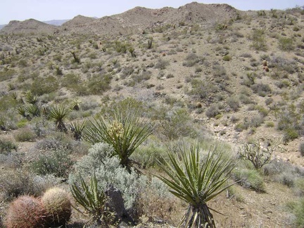 I've decided to aim for the top of the unnamed hills ahead between Bolder Spring wash and the north fork of Globe Mine Road
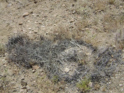 Decomposed cactus remains, apparently
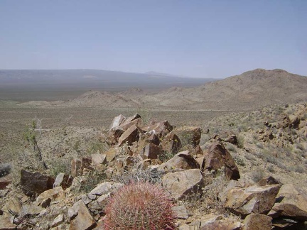 I make it to the summit of "Hill 1161" (as labelled on my map) at 3700 feet and look to the north toward Cima Dome
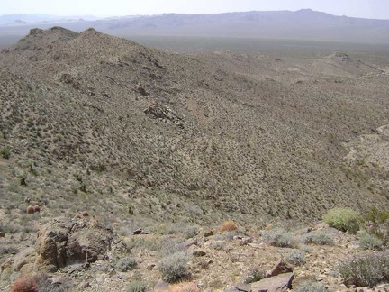 View to the northwest from the summit of hill 1161 near Globe Mine Road, Mojave National Preserve
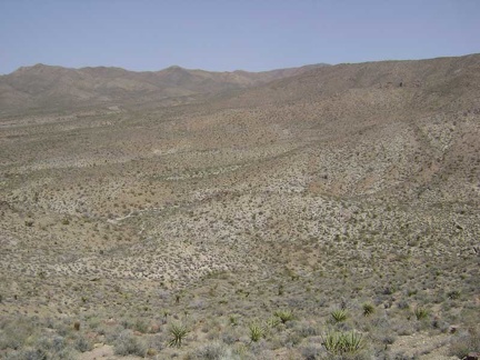 View to the east from the summit of hill 1161 near Globe Mine Road
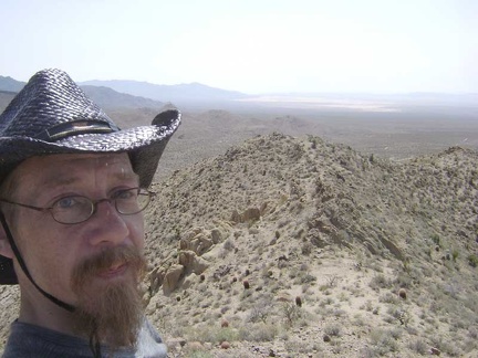 Looking southwest from the top of hill 1161 along a saddle that I'll follow to the next high point of the ridge
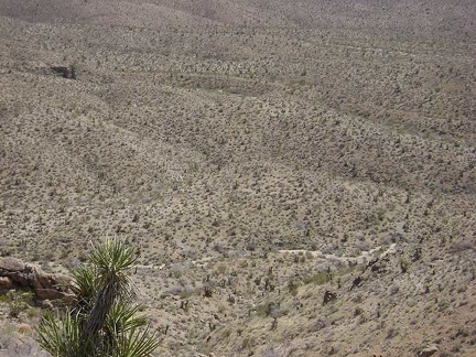 Looking straight down into Bolder Spring wash from above around hill 1161
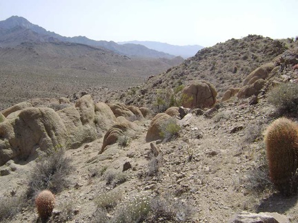 I pick my way along the ridge line, avoiding barrel cacti and other pricklies
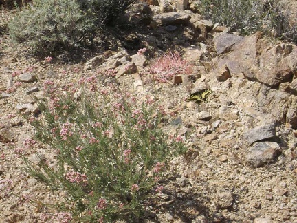 A pink-flowering buckwheat attracts a butterfly
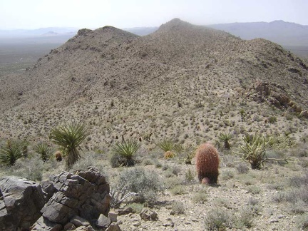 I'm having a great time up here on the ridge top; the only question is how I'll get down
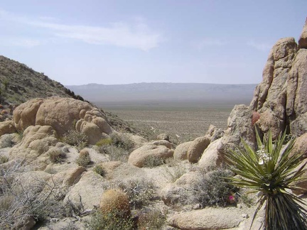 Northwest view through the boulders on the ridge
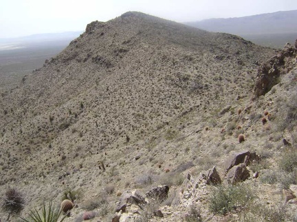 Skirting around the boulders and barrel cacti
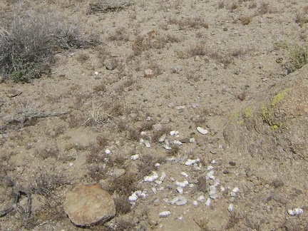 Lots of scat around these boulders
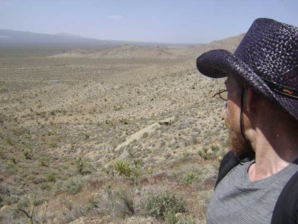 I've found my route down: I'll tiptoe down the hill on the left side of the drainage in front of me
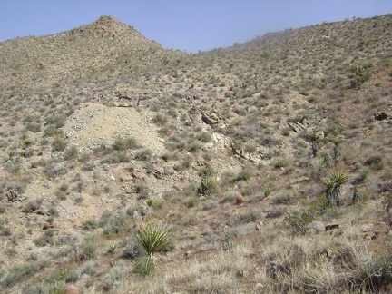 Partway down the hill, I look behind me and see that I've already dropped below that mine shaft over on the other hill
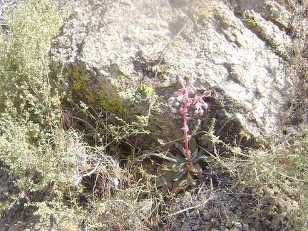 A desert dudleya (perhaps Dudleya saxosa) pokes out from behind a rock on the way down the hillside
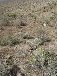 Scattered flowers add some color to the descent toward Globe Mine Road
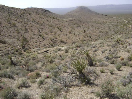 Toward the bottom of the hill, I approach the first of two unnamed mine sites just off the north fork of Globe Mine Road
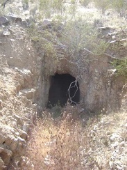 A tunnel at the first unnamed mine site off Globe Mine Road
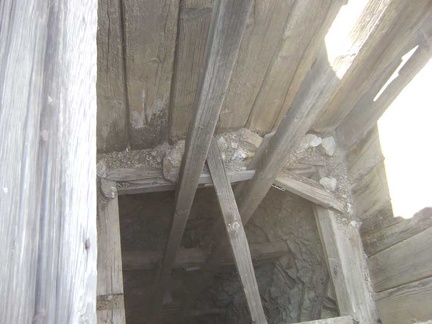 Mine shaft at the first mine site
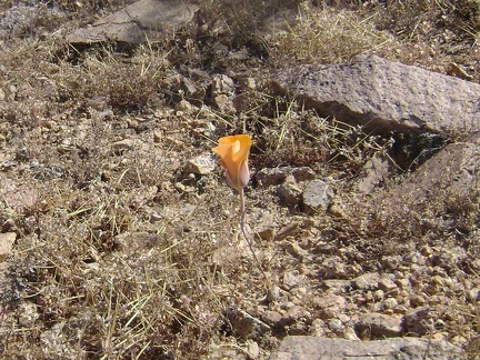 A lonely flower near the mine site
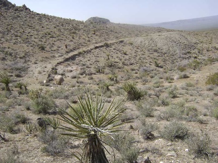 I walk over to the second mine site, closer to Globe Mine Road
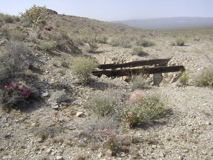 Two large timbers span the opening of a shaft at the second mine site
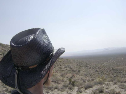 I'm finished browsing mine remnants, so it's time to begin the hike back to my campsite
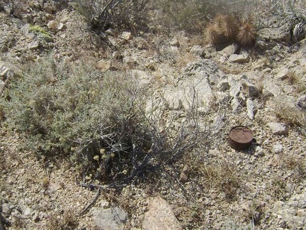 I come across a number of old cans as I hike over the little hill and leave the mine area
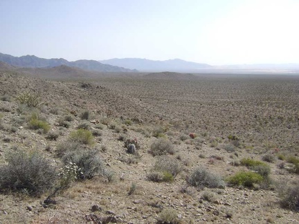 I drop down onto the fan and head south toward Kelso Dunes
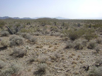 The hike across the fan back to camp is fast and easy compared to the ups and downs of today's hike into the hills
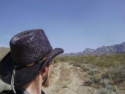 On the way across the fan, I cross the old road to Bolder Spring again
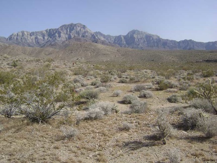 Continuing my hike across the fan, I walk past a couple of hills and arrive in the "valley" where I'm camped
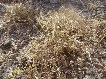 Close-up of one of the small grasses that populate this area
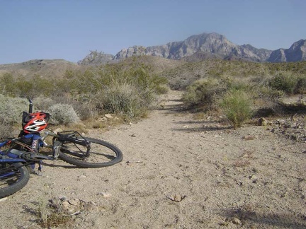 I get back to camp around 17h and happily find that my bicycle is still here waiting for me to use it tomorrow
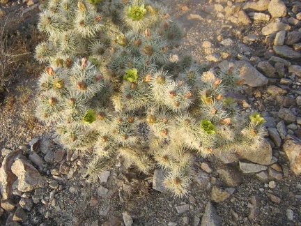 On the way back to camp from the Good Hope Mine, I notice a cactus that has green flowers
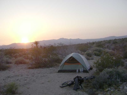 Time for another picture-perfect desert sunset near Globe Mine Road
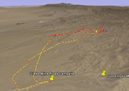 Bolder Spring hike route viewed in Google Earth
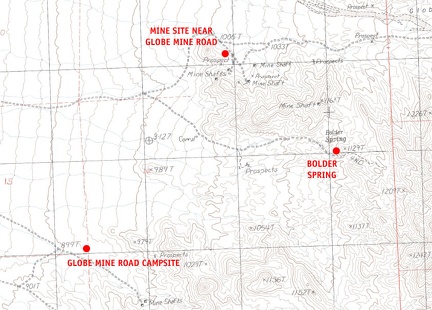 Mojave National Preserve map, Day 3: Globe Mine Road campsite to Bolder Spring day hike