Home / Mojave Preserve and Desert bikepacking trips / 2008: Mojave National Preserve Mountain-Bike Camping and Hike / Day 1: Baker, California to Globe Mine Road, Mojave National Preserve 39
Today I ride from Baker to a campsite near the end of the middle fork of Globe Mine Road, with a stop at the Mojave National Preserve visitor centre at Kelso Depot to fill up on water. 43.7 bicycle miles with elevation changes from 925 feet to 3800 feet to 2100 feet to 3000 feet.
Except for the unpaved Globe Mine Road, today's route is all paved, and I've ridden the paved part of today's route several times during previous trips here.
The temperature is in the 80s in the valley outside of Baker and around Kelso, but it's a pleasantly breezy and cool evening up on Globe Mine Road at 3000 feet.

 Yesterday morning I left San José and took Amtrak train and bus to Baker, California to start the trip
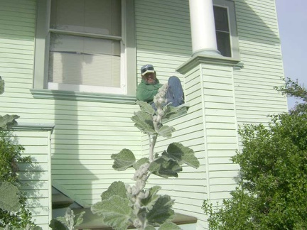 My friend and housesitter hangs out on my front porch as I pull away
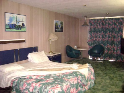 I start this Mojave National Preserve trip by waking up in my kitchy 1980s room at Baker's deteriorating Royal Hawaiian Motel
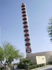 Baker's "world's tallest thermometer," next to the Big Boy restaurant, registers a balmy 71 degrees this morning
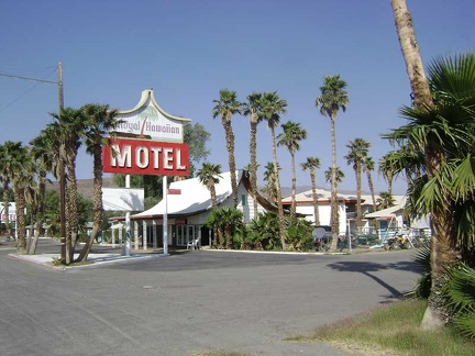 Roadside view of the Royal Hawaiian Motel, my home last night while waiting to begin the bikepacking trip
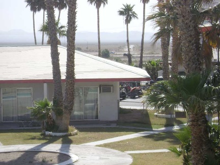 From my balcony at the Royal Hawaiian, I can see Kelbaker Road heading into the cherished emptiness of Mojave National Preserve
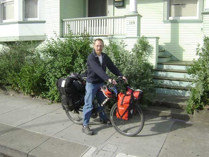
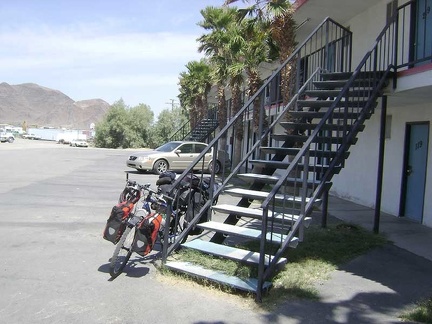 The 10-ton bike is now packed and assembled, ready to leave the Royal Hawaiian and spend two weeks in Mojave National Preserve
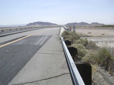 Leaving Baker, the 10-ton bike and I cross the I-15 freeway and head toward Mojave National Preserve
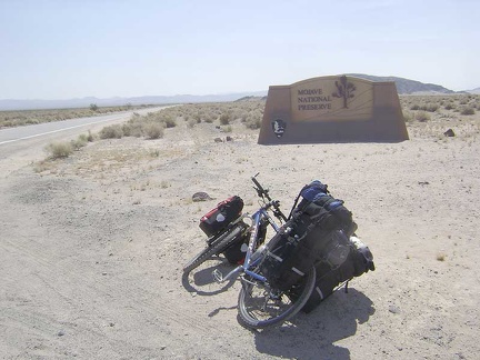 A quarter mile or so beyond the freeway crossing, I reach the Mojave National Preserve entrance marker and leave the past behind
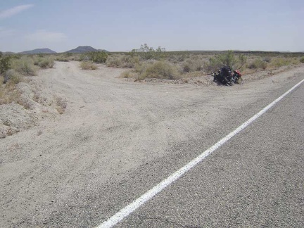 Almost 13 miles up Kelbaker Road, I stop briefly at the rough dirt road to Indian Springs, Mojave National Preserve
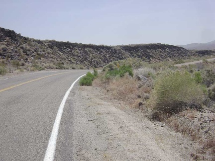 I always enjoy passing the lava flows along Kelbaker Road just beyond the road to Indian Springs
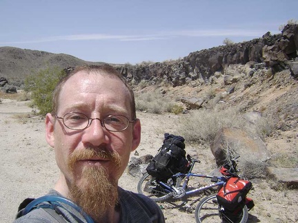 Time for a break: I pause for a Clif bar at Black Tank Wash along the lava flows adjacent to Kelbaker Road
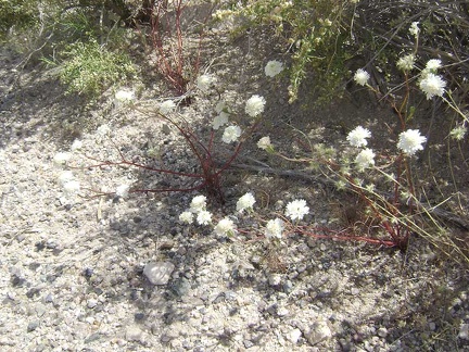 I'm noticing a lot of white-flowered buckwheats along Kelbaker Road on the way up toward the summit
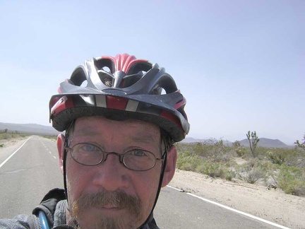 I keep pedalling slowly up Kelbaker Road, Mojave National Preserve
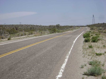 I'm almost at the Kelbaker Road summit now, which is marked by the power lines crossing the road
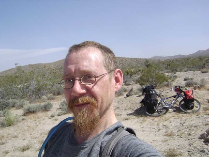 I take another break when I reach the coveted Kelbaker Road summit at about 3800 feet
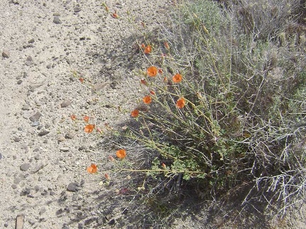 Orange desert mallow flowers at the Kelbaker Road summit, Mojave National Preserve
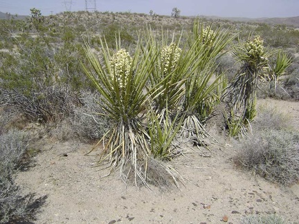 Banana yuccas getting ready to flower at the Kelbaker Road summit, Mojave National Preserve
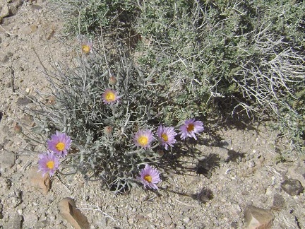 Mojave aster flowers at Kelbaker Road summit, Mojave National Preserve
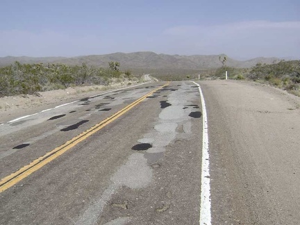 Replenished, I begin the slow 12-mile descent to the Mojave National Preserve Kelso Depot visitor centre 1700 feet below
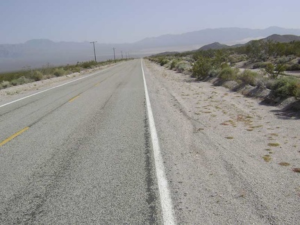 Kelbaker Road drops down toward Kelso and the sand piles of the Kelso Dunes become visible in the distance down in the valley
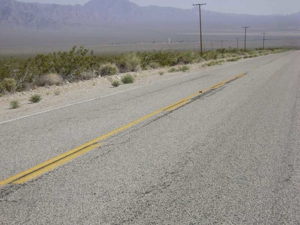 As I reach the floor of Kelso Valley at 2100 feet, I focus on the small group of buildings ahead that is the town of Kelso
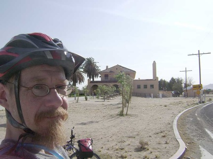 I hang out at the Kelso Depot visitor centre for almost an hour, fill up my water supply, and ask rangers about area conditions
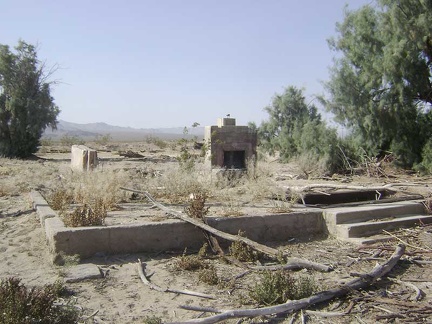 Just before I leave Kelso Depot, I stop to visit the ruins of a house across the road
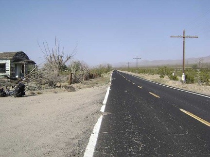 I begin wobbling up the gentle grade of Kelso-Cima Road away from Kelso Depot up to Globe Mine Road
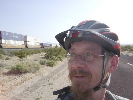 I exchange waves with the conductor of a passing freight train that rises slowly on the tracks along Kelso-Cima Road
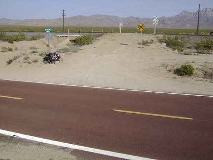 I've been riding on pavement all day (almost 40 miles), but this will end now that I've reached the sign for Globe Mine Road
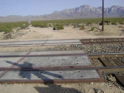 I cross the tracks at Globe Mine Road and it's official: I've just left pavement for a couple of days
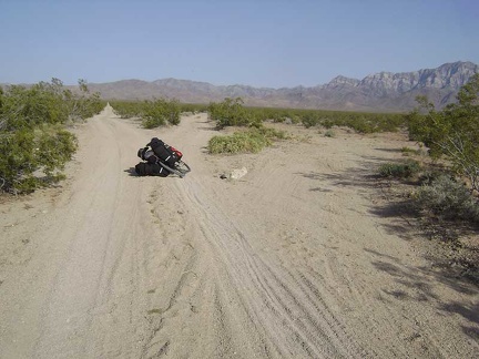 Just beyond the railroad tracks, Globe Mine Road splits into three unnamed roads
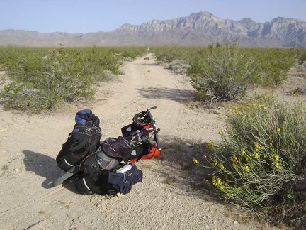 I choose the right (south) fork of Globe Mine Road
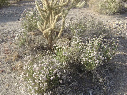 A garden of white buckwheat flowers and cholla cactus along the south fork of Globe Mine Road, Mojave National Preserve
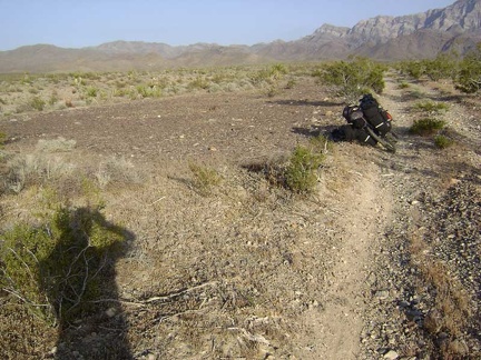 This clearing along the south fork of Globe Mine Road is obviously an old site of something and well-used
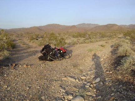 After about two miles, I reach the "shortcut" from the south fork of Globe Mine Road to the middle fork
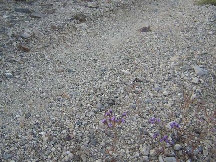 Diminutive phacelia flowers grow in the road on the "shortcut" between Globe Mine Road's south and middle forks
 The "shortcut" road dips down into a wash as it connects from the south fork to the middle fork of Globe Mine Road
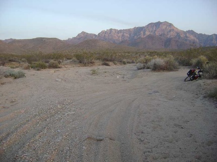 The "shortcut" ends at a junction with the middle fork of Globe Mine Road
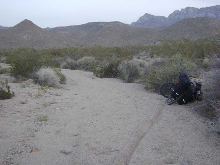 I follow tire tracks up a wash that seems to be the middle fork of Globe Mine Road and drag the bike through the deep sand
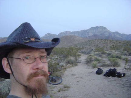 I decide that I don't really need to camp right next to that old mine site, so I pull over here and choose a campsite nearby
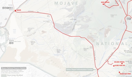 Mojave National Preserve map, Day 1: Baker to Globe Mine Road