Home / Mojave Preserve and Desert bikepacking trips / 2007: Death Valley National Park bikepacking / Day 2: Tecopa Hot Springs to Greenwater Valley (upper Gold Valley Rd) 48
Another pleasant day in the 80s, with little traffic once I get past Shoshone and head up Highway 178. I leave pavement to ride up Greenwater Valley Rd and Gold Valley Road, I am passed only once by a car on those last 18 miles.
A breakdown slows me down and ultimately prevents me from making it all the way to Willow Spring in Gold Valley.
Starting at 1400 feet elevation at Tecopa Hot Springs, it's mostly flat through Shoshone on Highway 127. Six miles of pavement on Highway 178 take me up to about 2000 feet. Then I ride 10 miles up Greenwater Valley Road's gravel surface to about 3000 feet. The final eight miles climb up Gold Valley Road's dirt to about 4700 feet.
34.3 bicycle miles, last 18 miles, dirt/gravel road

 Outside the men's "cool pool" at Tecopa Hot Springs campground
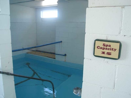
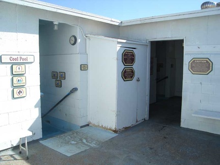 Inside the men's "cool pool" at Tecopa Hot Springs campground
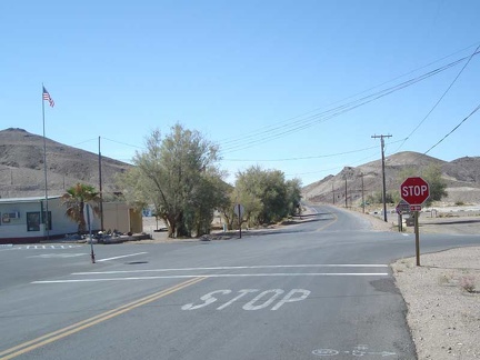 The stop sign in Tecopa Hot Springs village, looking back toward Baker
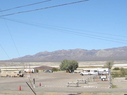 Tecopa Hot Springs campground is not very busy right now
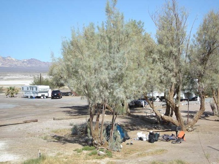 Shade in the desert
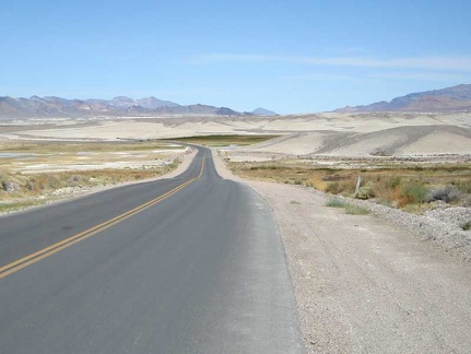 Leaving Tecopa Hot Springs toward Death Valley
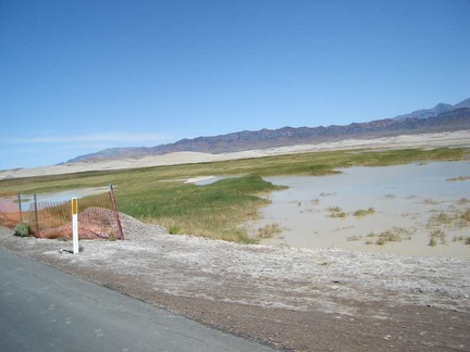 There's still some water in this end of Grimshaw Dry Lake
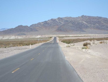 Just past Grimshaw Dry Lake, Tecopa Hot Springs Road heads straight toward the mountains
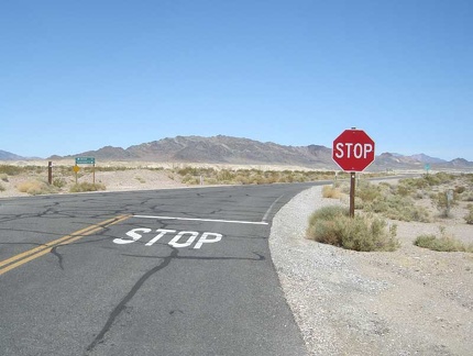 The end of Tecopa Hot Springs Road at Highway 127
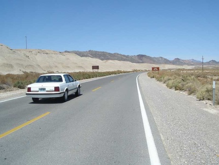 A car passes me as I head up Highway 127
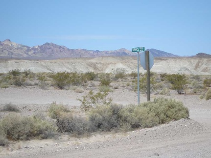 I pass Furnace Creek Wash Road, which would be a shortcut to where I'm going today, except...
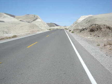 I enjoy passing through the badlands between Tecopa Hot Springs and Shoshone
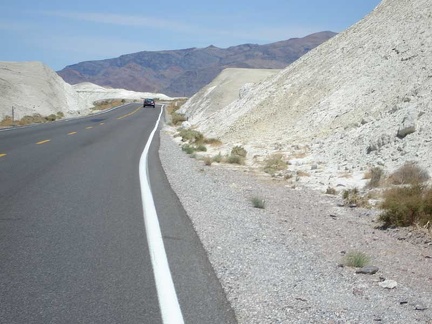 More of the badlands between Tecopa Hot Springs and Shoshone
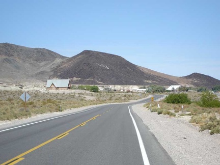 The badlands let up as Highway 127 enters the village of Shoshone with its restaurant, post office and general store
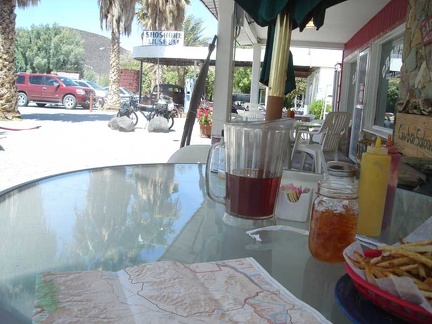 Lunch at the Crowbar Café in Shoshone
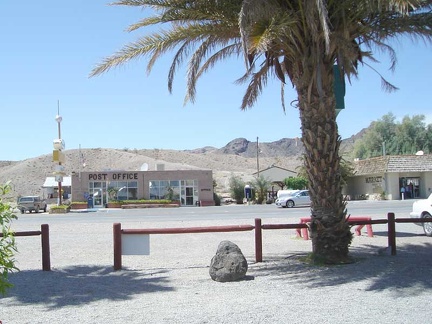 The Shoshone post office and the village's market
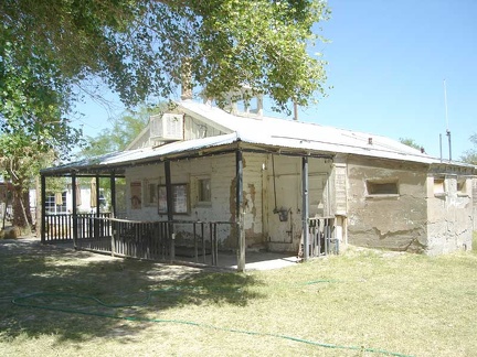 Former ranger station next door to the Crowbar Café in Shoshone
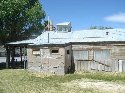 The old Shoshone ranger station is built partially out of mud bricks
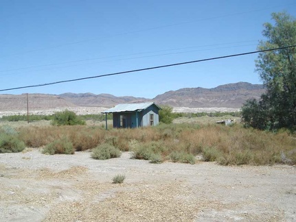 Behind the old Shoshone ranger station
 I visit the general store in Shoshone across the road from the Crowbar Café
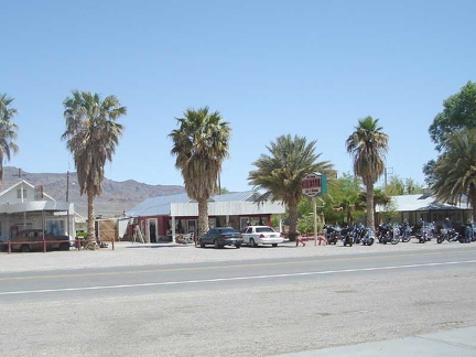 While filling my bottles, I glance across the road at the Crowbar Café
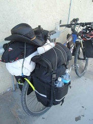 Ready to hit the road and leave Shoshone
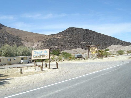 On the way out of Shoshone toward Death Valley, northbound on Highway 127
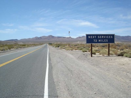 I begin the gentle westward climb up Highway 178 into Death Valley National Park
 My first climb of the day--Highway 178
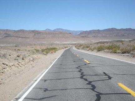 Looking back down Highway 178 to verify that I really am rising
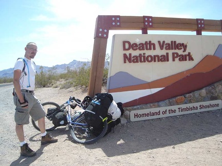 Death Valley National Park welcomes me
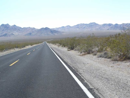 I coast down a slight hill on Highway 178 into Greenwater Valley
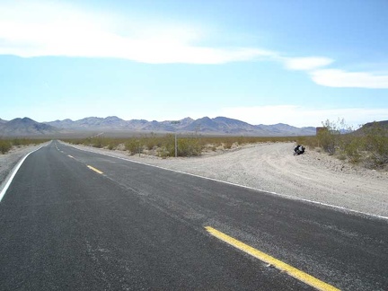 My Greenwater Valley Road veers off to the right
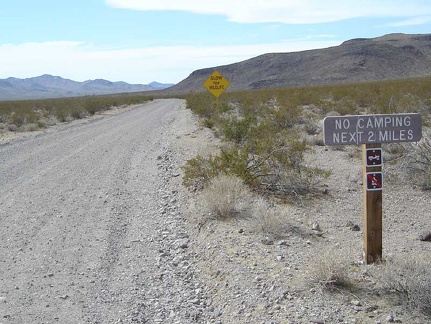 Greenwater Valley Road: watch out for wildlife, and no camping first two miles
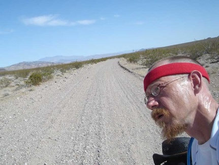 Heading very slowly up the slight grade of Greenwater Valley Road
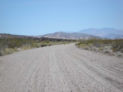 Further on, I look back down into the valley where I started
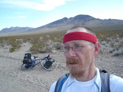 It's so lonely out here all by myself!
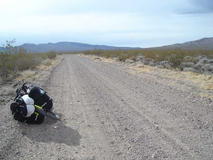 I've reached a plateau area on Greenwater Valley Road
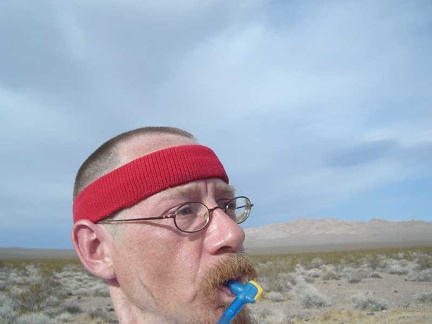 Taking another short break, an excuse to stop and stare at the scenery
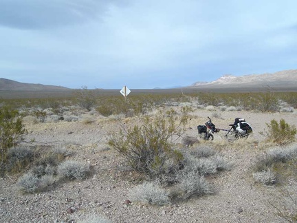 I've reached the junction of Deadman Pass Road, at 3000 feet elevation
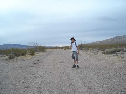 Me, standing in Greenwater Valley Road at the junction of Deadman Pass Road
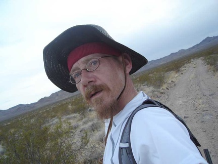 I'm here! I start up Gold Valley Road, which heads over the mountains
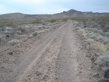 Gold Valley Road rises slowly across the wide valley
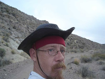 A surly look for the camera
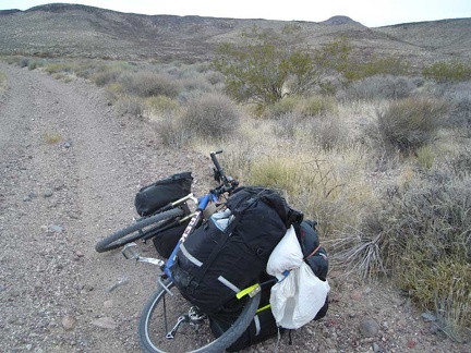 Gold Valley Road keeps rising
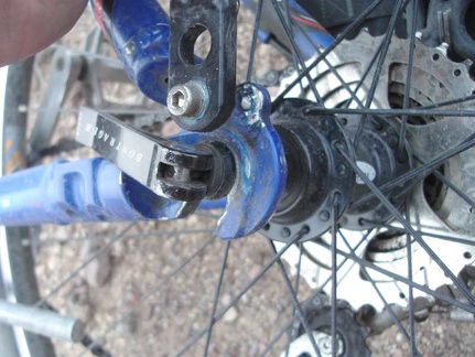 Suddenly, something on my bike is rubbing and making harsh, loud noises
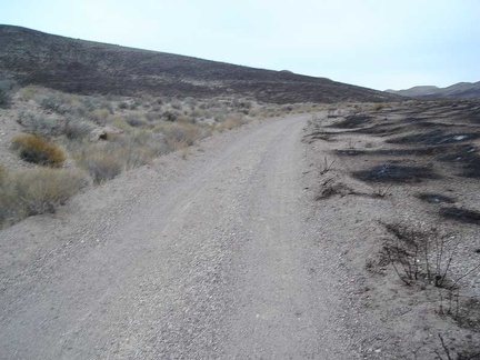 Back on my bike after repairs, Gold Valley Road rises into an area where there has been a brush fire
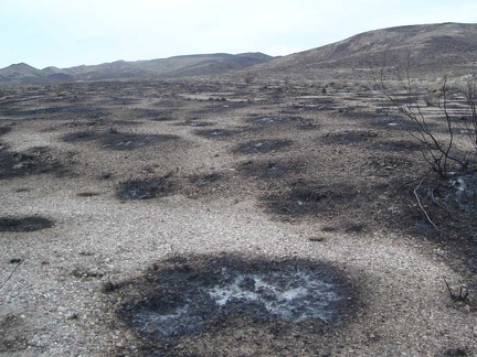 Close up of the burn from the Gold Valley Road fire is interesting
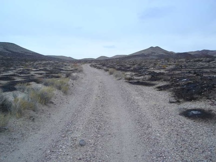 I continue onward, trying to beat the setting sun
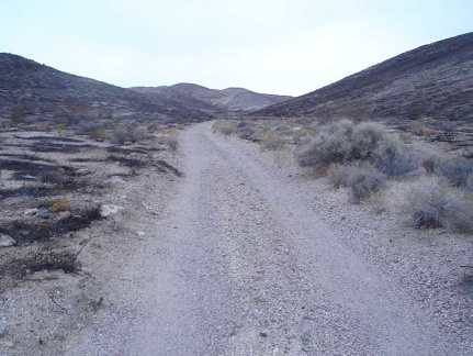 There are many pockets of unburned plants within the burned area
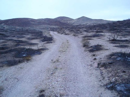 Still rising slowly, I know for sure now that I won't make it over the mountains before dark
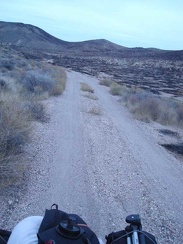 Rising out of the burned area at dusk, I look for somewhere decent to set up camp for the night