Home / Mojave Preserve and Desert bikepacking trips / 2009, Spring: Mojave National Preserve / Day 4: Mid Hills campground hike to Eagle Rocks, Wildcat Spring, Chicken Water Spring and Silver Lead Spring 71
This Mojave National Preserve trip really starts today, as far as exploring new areas is concerned, which is the reason I keep coming back here. I'm "trapped" up in the mountains at Mid Hills campground to avoid the heat down below, so I'm going to take advantage of it to hike and ride to areas I haven't yet visited up here.
Today I'll hike over to the Eagle Rocks formation near Mid Hills campground, then down to Wildcat Spring and Coyote Spring (a different Coyote Spring than the one I visited on my last Mojave trip). I'll return to Mojave National Preserve's Mid Hills campground via Chicken Water Spring, Silver Lead Spring and Wild Horse Canyon Road.
Chicken Water Spring was a possible campsite on my trip plan. However, given the hot weather and the uncertainty of water availability this late in the spring, it's just as easy to camp at well-watered Mid Hills campground up above and use it as a base for day hikes to areas like Chicken Water Spring.
I bring six litres of water with me and consume four. I eat some almonds and a Clif bar. Awesome day and perfect temperatures (70s and 80s). 10 hiking miles with 2348 feet of elevation gain and loss.

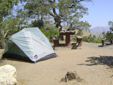 Mid Hills campground, Mojave National Preserve before today's hike to Eagle Rocks and Wildcat Spring
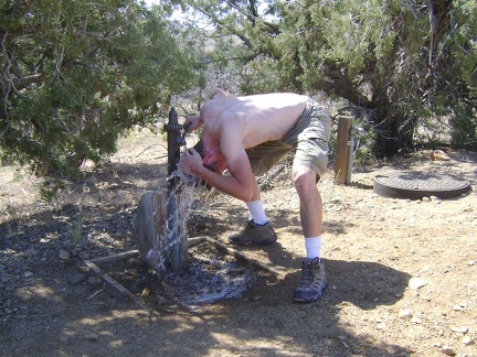 Mid Hills campground's 26 campsites are all nicely deserted this morning, except for mine
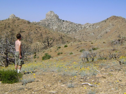 Across the road from the water tap, I ponder the wiew of the Eagle Rocks, which will be the first stop on today's hike
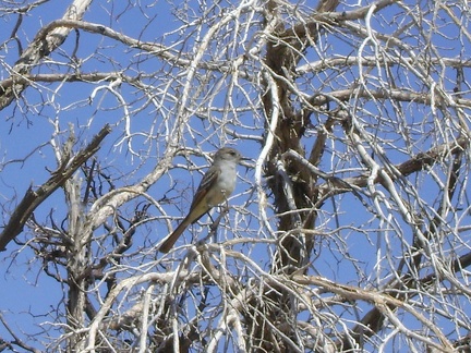 I'm being watched!
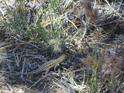 Back at my tent, a lizard pretends to hide from my camera under a nearby pinon pine
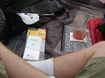 I consult my maps and have breakfast and hot tea (which makes me sweat) inside my tent
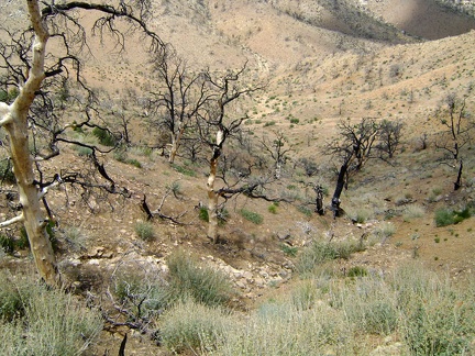 I prepare my backpack for the day and begin by walking down the short steep hill into the gulley behind Mid Hills campground
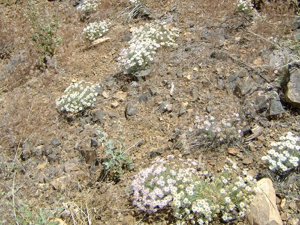 A patch of asters on the way down to the gulley between Mid Hills campground and Eagle Rocks
 A bee tightens up and launches itself toward a thistle bloom
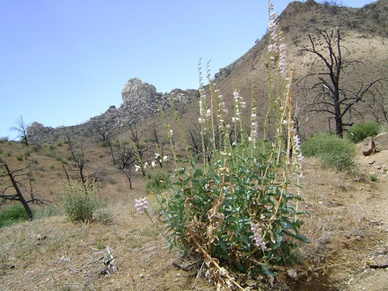 Palmer's penstemon blooms on the way up the gulley toward Eagle Rocks
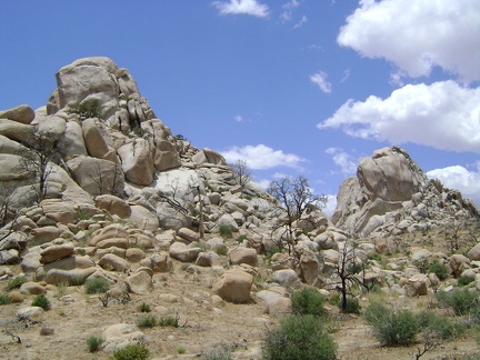 Eagle Rocks, Mojave National Preserve
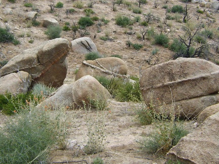 There's no shortage of quirky rocks in the Eagle Rocks area to look at
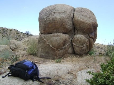 Maybe this one should be called Buttock Rock
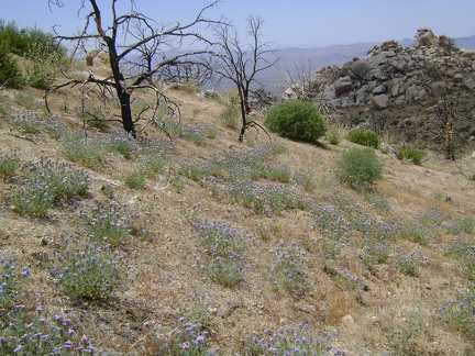 I begin hiking beyond Eagle Rocks into new territory that I've been looking forward to visiting
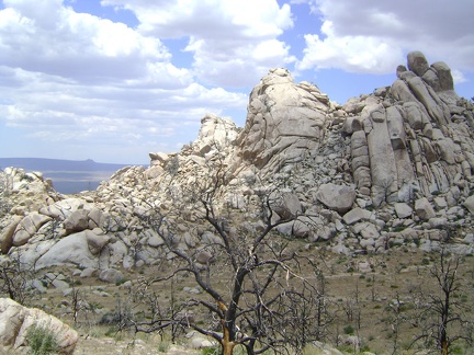 The texture of the Eagle Rocks area is perhaps even more interesting on their back side
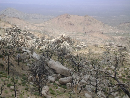 My next stop will be down in the hidden valley at Wildcat Spring; perhaps it's that tiny green spot down there, I'm not sure yet
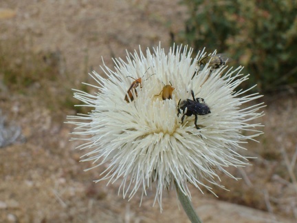 Three bugs are enjoying this thistle blossom
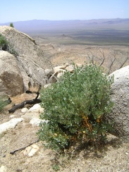 I pass an unexpected manzanita shrub as I begin my way down the boulder pile
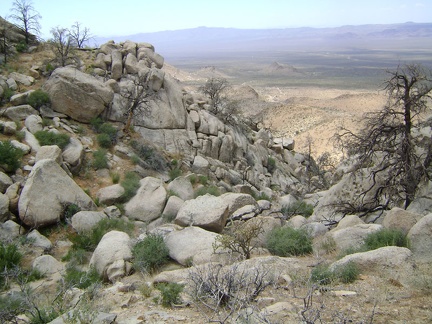 It looks a bit steeper going down than I was hoping for
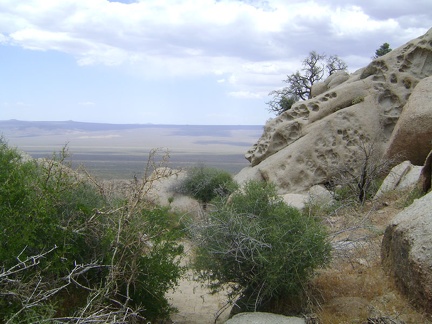 Oh good, a level spot, but perhaps followed by a steep drop...
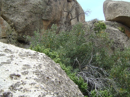 I'm a bit stuck right here and will have to squeeze behind the manzanita (and other) brush here to reach the next step down
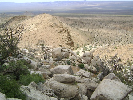 I'm getting closer to the bottom, but each time I think I see an easy next-step-down, it turns out to be less simple
 Looking back up the boulder pile as I get closer to the bottom
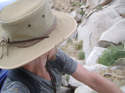 The toughest part for me is just before the bottom, where I'm left with no choice but to jump down a few boulders
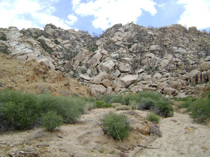 I reach the bottom of the boulders and look back to see what I've just climbed down; I expect sore knees and thighs tomorrow
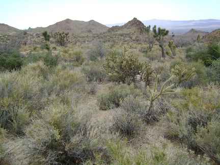 Entering the next phase of today's hike, I start heading down toward Wildcat Spring, Mojave National Preserve
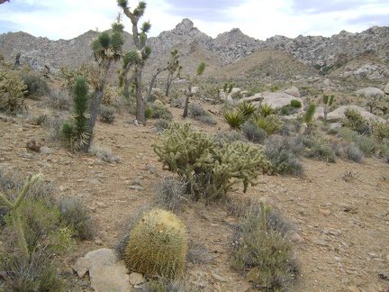 Looking back again at the Eagle Rocks and Mid Hills area
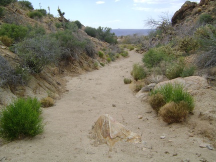 My Delorme GPS leads me into a small wash as I look for signs of Wildcat Spring
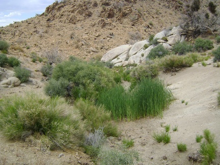 Wildcat Spring, Mojave National Preserve
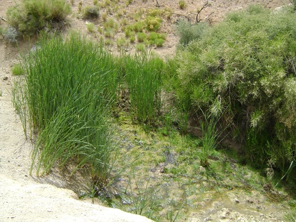 Wildcat Spring is not completely dry, yet, upon further inspection
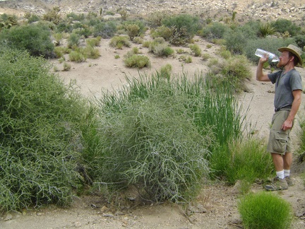 I take a short break at Wildcat Spring and drink some of the water I brought with me
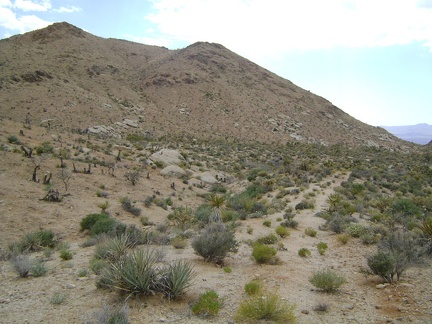 I leave Wildcat Spring and start hiking toward my next stop, Coyote Spring, about 1/2 mile beyond
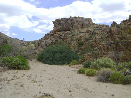 My GPS leads me around a bend toward Coyote Spring; I'm at the lowest elevation of today's trip, 4430 feet
 All this greenery says that this must be Coyote Spring, but I don't see any water here, not even a bit of mud
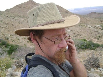 I climb up the hill above Coyote Spring and try my cell phone
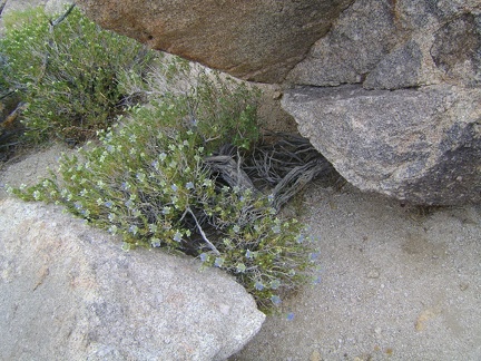 Small blue flowers peer out from between some rocks on the ridge between Coyote Spring and Chicken Water Spring
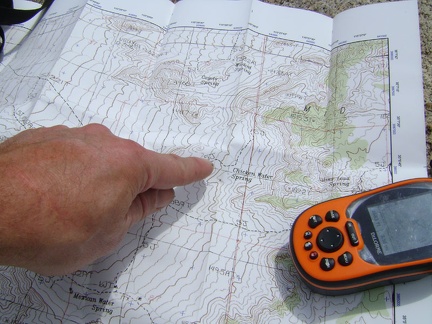 Map and GPS check at the the top of the low ridge 200 feet above, and just south of, Coyote Spring
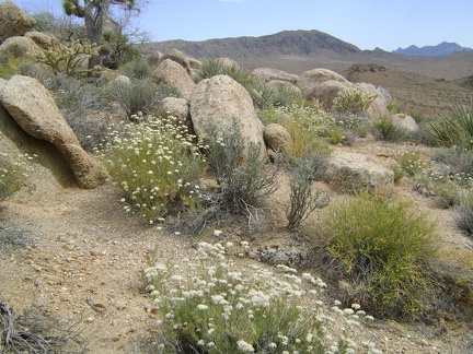 Many buckwheats are still flowering up on this ridgelet between Coyote Spring and Chicken Water Spring
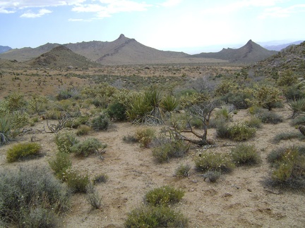 The descent into the valley of Chicken Water Spring is so short and easy that it's almost not a descent
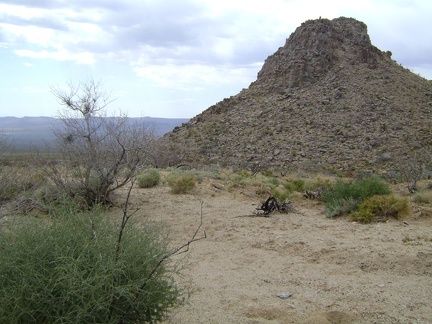 A stark pinnacle just south of Coyote Spring on the way to Chicken Water Spring
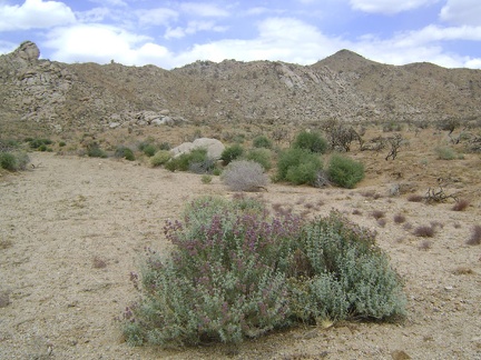 Chicken Water Spring is off to my right, but I decide to walk straight ahead for a short loop around this end of the valley
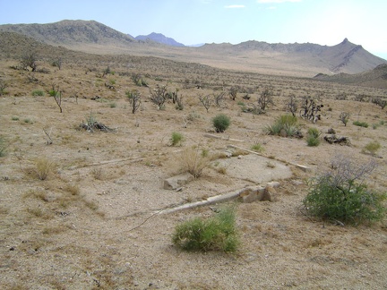 An old foundation near the end of Chicken Water Spring Road
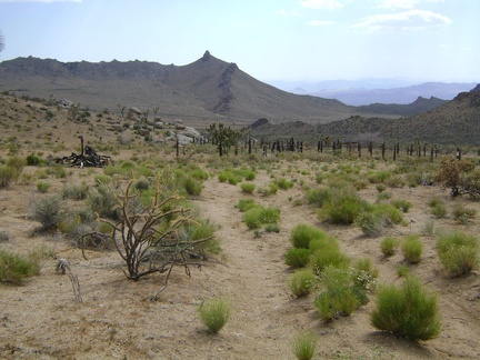 Chicken Water Spring Road is quite indistinct here and doesn't look like it has been driven often in recent years
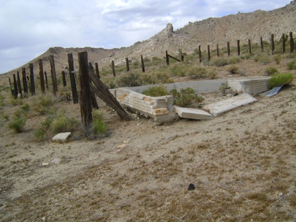 A broken-down brick cistern sits in the corral at Chicken Water Spring, Mojave National Preserve
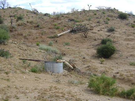 Chicken Water Spring, to my surprise, drips into this shiny, new steel basin
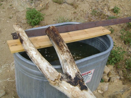 The basin at Chicken Water Spring is mostly full, though the water may not be the freshest
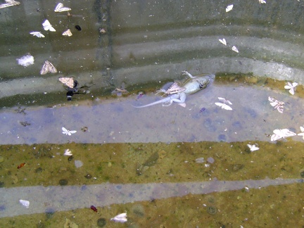 I don't mind the dead moths in the Chicken Water Spring basin, but the dead lizard makes the water less appetizing
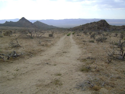 After Chicken Water Spring, I look for an uphill wash on my left that will take me up to Wild Horse Canyon Road
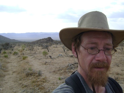 I start hiking up the wash that will pass Silver Lead Spring on the way up to to Wild Horse Canyon Road
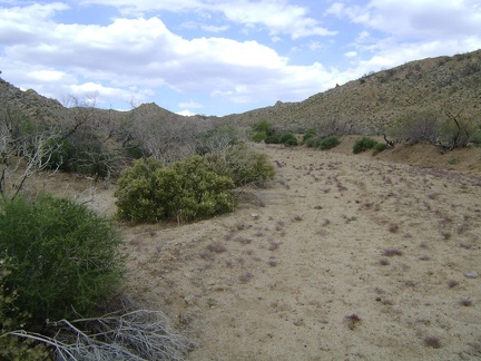 I continue walking up the wash toward Silver Lead Spring and Wild Horse Canyon Road
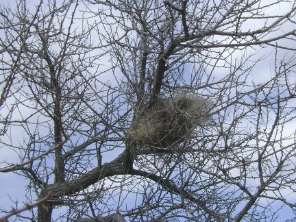 I pass a meticulously contructed bird's nest in the wash on the way up to Silver Lead Spring
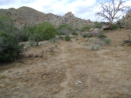 The wash leading up to Silver Lead Spring and Wild Horse Canyon Road is wide
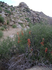 Firecracker penstemon (Penstemon eatonii) in the wash below Silver Lead Spring
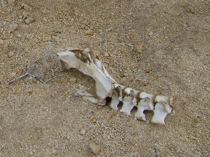 Bones in wash near Silver Lead Spring, Mojave National Preserve
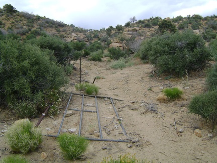 A broken-down gate near Silver Lead Spring
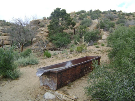 I stumble across an old rusty water trough near Silver Lead Spring, Mojave National Preserve
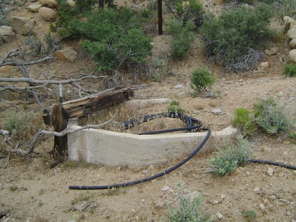 Here's an old concrete cistern near Silver Lead Spring
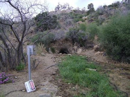 Silver Lead Spring: I almost missed it, but here it is on a small hill just above the wash
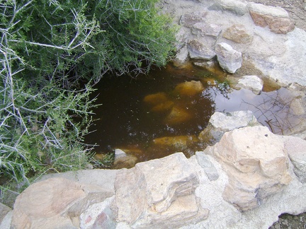 Just to the east of the main part of Silver Lead Spring is an old conrete-and-rock retainer
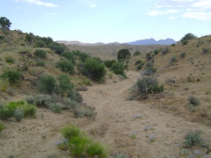 I walk the final 1/2 mile up from Silver Lead Spring to Wild Horse Canyon Road at 5500 feet elevation
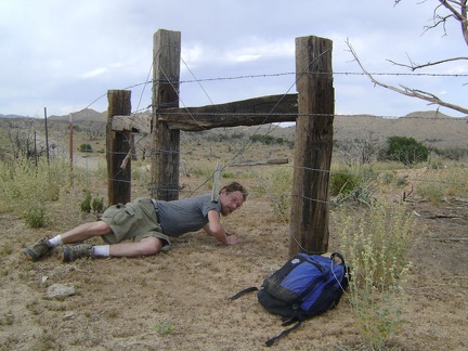 I crawl under a barbed-wire fence so I can walk up Wild Horse Canyon Road
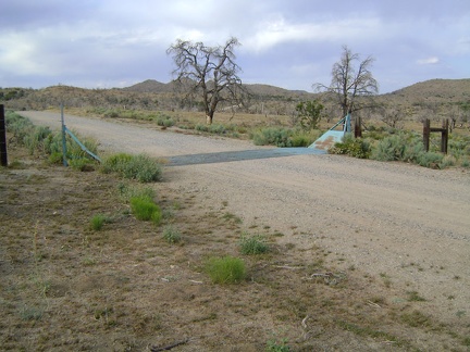 I walk up Wild Horse Canyon road and cross a cattle guard
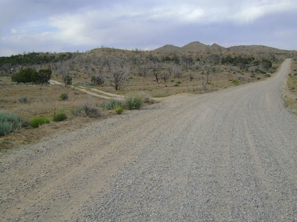 I decide to follow the small dirt road to my left instead of staying on the main road back to Mid Hills campground
 After a 1/4 mile on the dirt road, I begin heading cross-country through the partially burned desert forest
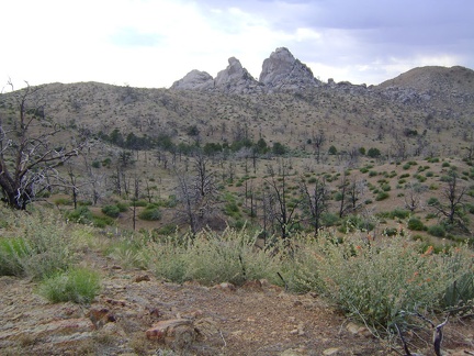 Nice views of Eagle Rocks again as I get close to reentering Mid Hills campground
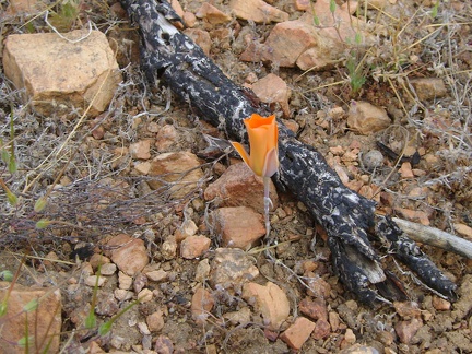 And a mariposa lily...
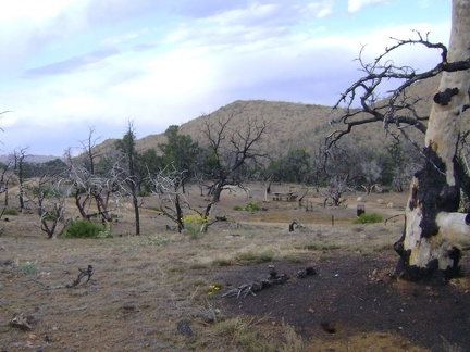 My short cross-country hike comes to an end when I reach the road through Mid Hills campground
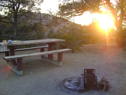 Back at Mid Hills campground site 22 after today's hike to Eagle Rocks and Wildcat Spring
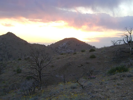 I enjoy watching the sun go down behind the hills in the Eagle Rocks area
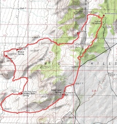 Mid Hills campground to Wildcat Spring and Chicken Water Spring hiking route map (Day 4)
 Mid Hills campground to Wildcat Spring and Chicken Water Spring hiking route elevation profile (Day 4)