Home / Mojave Preserve and Desert bikepacking trips / 2009, Spring: Mojave National Preserve / Day 12: Cima Dome (Sunrise Rock) to Pachalka Spring by bicycle, Mojave National Preserve 47
I've wanted to visit Pachalka Spring at the base of the Clark Mountain Range during previous Mojave National Preserve trips; today I'm finally doing it.
From my Cima Dome campsite near Sunrise Rock at about 5000 feet, it's downhill to the Valley Wells area near Interstate 15, then up rough roads to 4950 feet near Pachalka Spring.
19.2 bicycle miles with 1370 feet of elevation gain, the last few miles of it walked. Maximum speed for the day is 30.2 miles per hour, but average speed is only 7 miles per hour due to hike-a-biking.

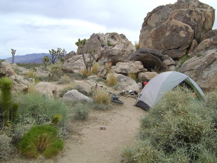 It's a pleasant, breezy morning up here on Cima Dome, about 70 degrees, and a bit overcast
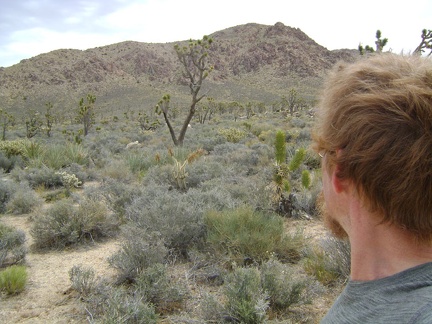 Nearby is Kessler Peak and an old mining to the north, which might make a nice hike
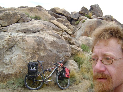 I decide to head to Pachalka Spring as originally planned; my campsite slowly morphs into a well-packed 10-ton bike
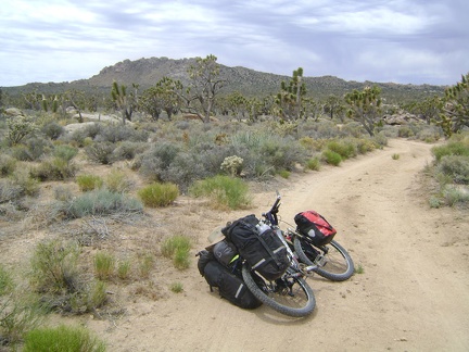 I ride the half-mile up the dirt road from my Cima Dome campsite and reach the pavement of Cima Road at noon sharp
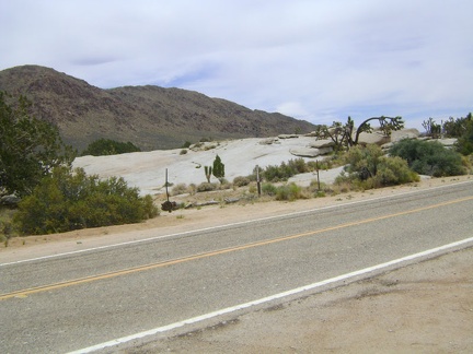 Along Cima Road is a large patch of exposed rock
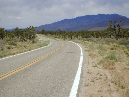 I zoom down the 12 miles of gentle Cima Road grade to Valley Wells at Interstate 15
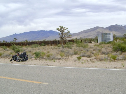 On the way down the Cima Road hill, I stop at an old corral and water tank
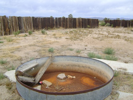 Well, the cistern in this old corral along Cima Road is dry, so I presume the big water tank nearby is empty too
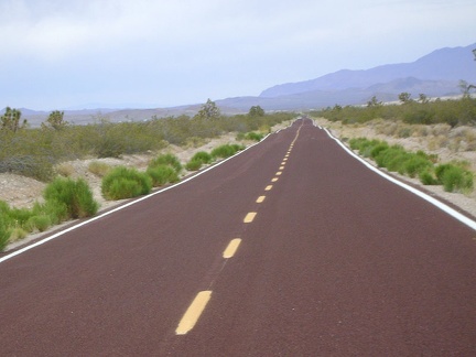 I continue whooshing down Cima Road and can now see trucks on Interstate 15 in the distance
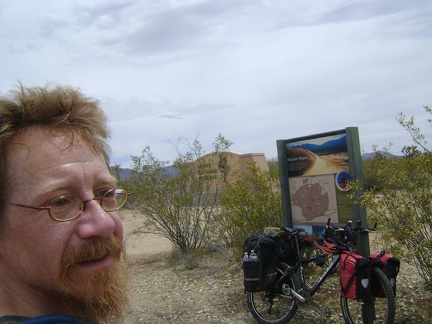 The bottom of Cima Road exits Mojave National Preserve; I take a break by the monument that folks see upon entering the Preserve
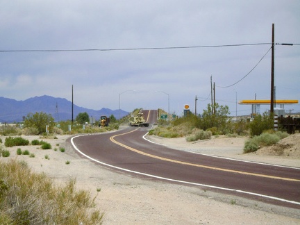 Cima Road rises up to a bridge that crosses over Interstate 15 and I stop at the gas station store here to fuel up on supplies
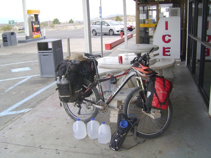 I buy three gallons of water at the Valley Wells gas station store at I-15 and take a nice long break
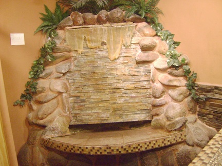 The urinal in the washroom at the Valley Wells gas station is truly unique
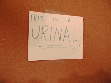 The Valley Wells urinal is so unique that an adjacent handwritten sign tells you that, "yes, this IS a urinal!"
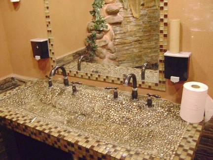 The washroom sink at the Valley Wells gas station matches the urinal in its unique epoxy tackiness
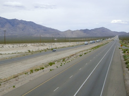 Replenished with lots of water in case there is none at Pachalka Spring, I ride over the bridge above Interstate 15
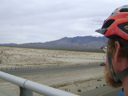 Looking over to the Clark Mountain Range from the Cima Road bridge over I-15, I try to discern the location of Pachalka Spring
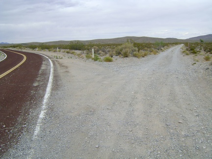 1.5 miles beyond Interstate 15, I reach the dirt road that will take me to Pachalka Spring and bear right
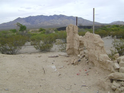 I stop at the old Valley Wells town site to check out the final remnants of the wall of a mud-brick building
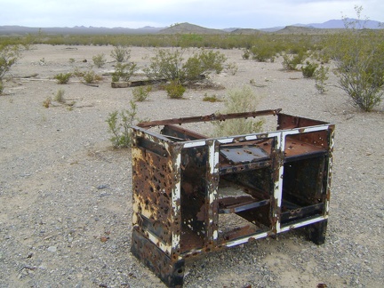 Nearby is the metal skeleton of an old counter or stove
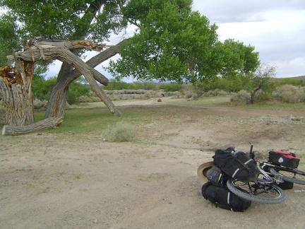 A big tree, partly broken, near the old Valley Wells town site
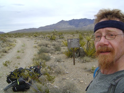 Re-entering Mojave National Preserve, this time in the smaller part of the Preserve that's north of Interstate 15
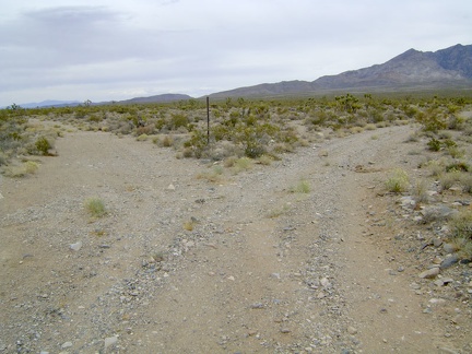 My road splits, and I follow the right fork leading toward the Clark Mountain Range and Pachalka Spring
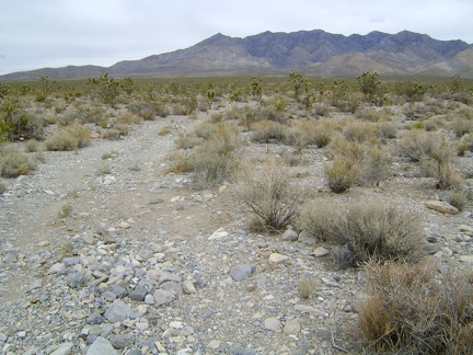 I start riding up the fan on the road to Pachalka Spring, Mojave National Preserve, straight toward the Clark Mountain Range
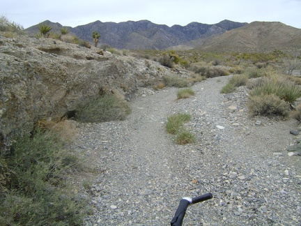 An hour later, Pachalka Spring Road climbs up through a wash
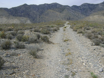 Pachalka Spring Road was climbing slowly at 3-5 percent grade for a while, but now the grade is 5-10 percent
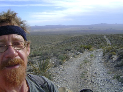 As always, I look behind me frequently to see how much I've risen, to reassure myself that my work is creating progress
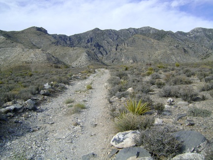 Pachalka Spring Road has slowly made its way up onto a low ridge
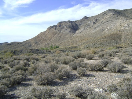 Looking to my left (north), I see a patch of green trees, which must be Pachalka Spring
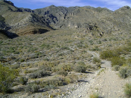 After a couple hours of hike-a-biking, it's a pleasure to remount the bike and ride down into the wash south of Pachalka Spring
 After passing through an extensive gravelly area in the wash south of Pachalka Spring, the road abruptly rises a short distance
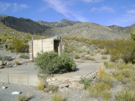 In the area above Pachalka Spring, I find the ruins of an old house
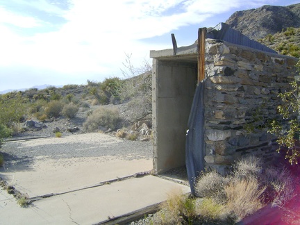 Only a small piece of the stone walls remains of the house that once stood near Pachalka Spring, Mojave National Preserve
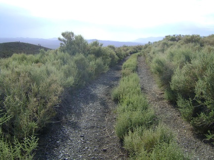 Pachalka Spring Road just west of the ruins doesn't look like it gets much traffic
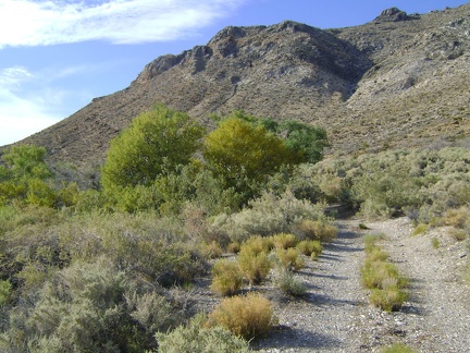 Im not sure yet where I'll set up my tent; I park my bike and walk down the short road toward the green trees at Pachalka Spring
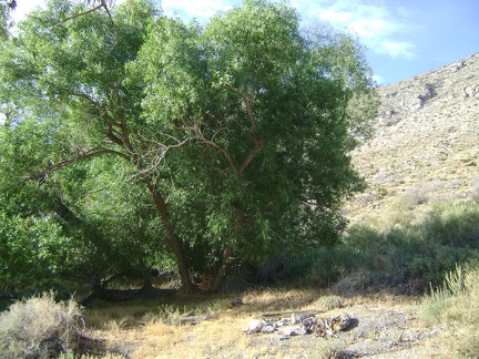 A campfire ring by the trees adjacent to Pachalka Spring makes for an enticing place to set up camp
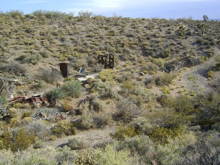 Down in the wash below Pachalka Spring are more ruins
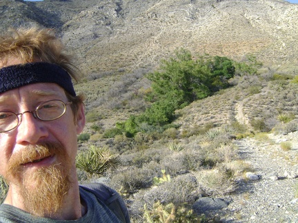 With Pachalka Spring's greenery behind me, I walk back to my bike and look for a spot to set up my tent
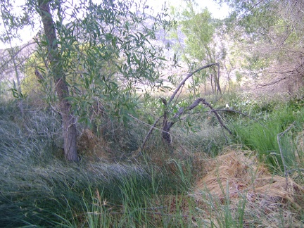 Before sundown, I go for another short walk over to Pachalka Spring
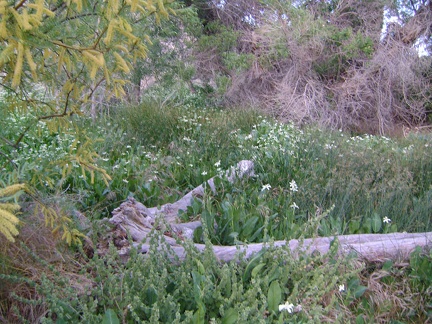 I hear a trickle of water somewhere nearby, so I walk past the yellow mesquite blooms into the patch of yerba mansa flowers
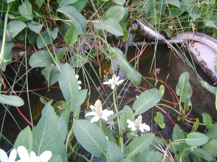 There it is, Pachalka Spring, bubbling up from a pipe in the middle of the yerba mansa patch
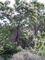 A tree that I've never seen before is blooming profusely in the moist area just below Pachalka Spring
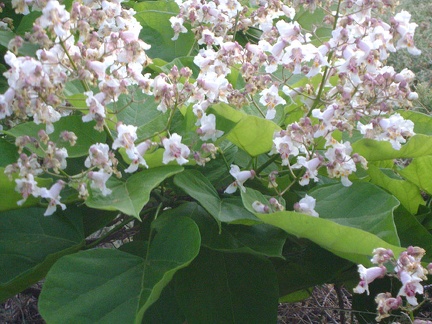 The blossoms on this tree look almost like the flowers of a Palmer's penstemon; hummingbirds probably love these
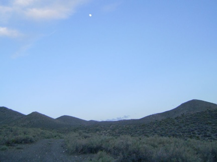 Most of the day's clouds have lifted in the south and I can see that it's getting close to full moon
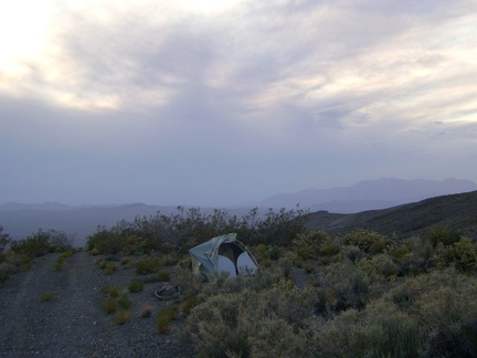 The view northwest from my Pachalka Spring campsite provides no colourful sunset this evening due to cloud cover
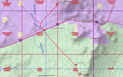 Bicycle route from Cima Dome (Sunrise Rock) to Pachalka Spring, Mojave National Preserve (Day 12)
 Elevation profile of bicycle route from Cima Dome (Sunrise Rock) to Pachalka Spring, Mojave National Preserve (Day 12)