Home / Mojave Preserve and Desert bikepacking trips / 2009, Spring: Mojave National Preserve / Day 8: Live Oak Spring hike from Mid Hills campground, Mojave National Preserve 67
Live Oak Spring is one of the springs in the northwest Mid Hills that I haven't seen yet. Today is my chance; this should make for a good hike.
It will be good for my knees to be off the bike and just walking for a day. It will also be good for the eyes. One sees more when walking compared to bicycling. Equally important is that one sees more while bicycling compared to driving a car.
I bring six litres of water and drink 4.5 of those. I'll also eat two Clif bars and one Larabar. 14.1 hiking miles with 2585 feet of elevation gain (and drop).

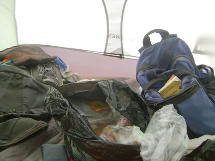 While eating breakfast in the tent, I study my maps in preparation for today's hike over to Live Oak Spring
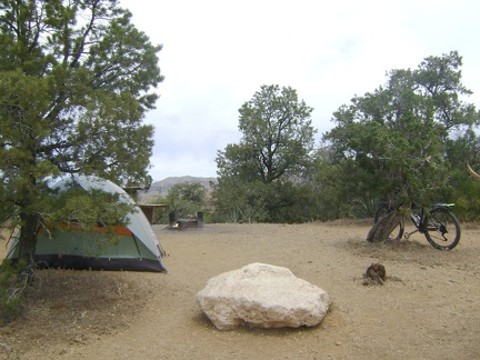 After a half-mile ride down to the kiosk to pay for one more night camping, I return to site 22 and lock the bike to a juniper
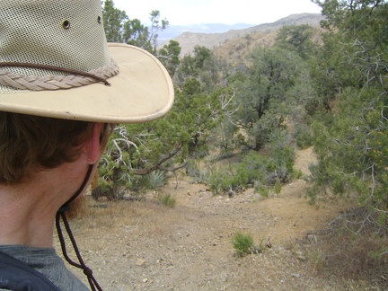 At noon, I start walking down the hill behind Mid Hills campsite 22
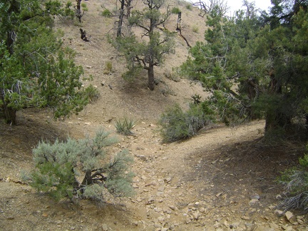 I follow a sometimes-shady drainage that leads northwest down the hill from my campsite
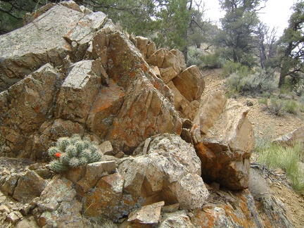 Some cactus, and a few other flowers, are still blooming in the relative shelter of this area
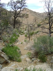 The drainage "trail" will end just ahead at the base of the small mountain
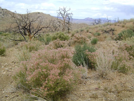 A patch of fluffy pink seed heads greets me as I approach Eagle Rocks wash
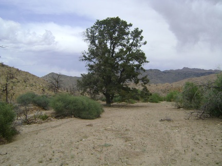 A tall, lone pinon pine grows in Eagle Rocks wash
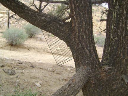 A BBQ grate hangs from that lone pinon pine in the wash
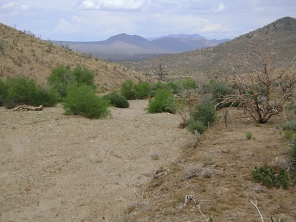 Cedar Canyon Road is now visible: that horizontal line down below
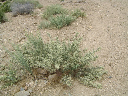 On my way down the wash, my nose keeps picking up a highly aromatic scent that isn't sagebrush
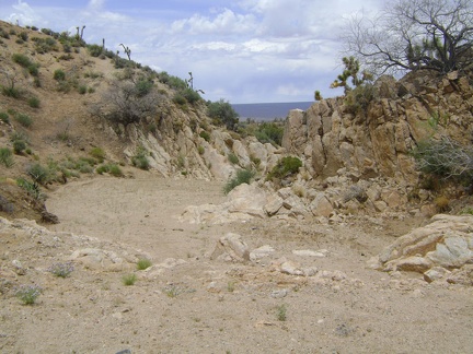 Before it joins Cedar Wash below, Eagle Rocks wash narrows and curves through an opening in the hill
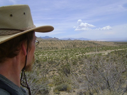 I reach Cedar Wash, cross it, then climb up the other side and look back across Cedar Wash to the south
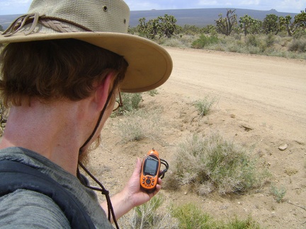 When I reach Cedar Canyon Road, I stop to check my GPS for directions
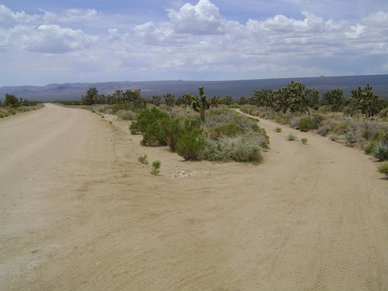 I cross Cedar Canyon Road, which I rode up last week, and start walking up the lesser Death Valley Mine Road to my right
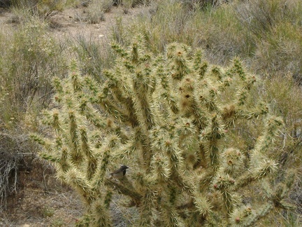 A bird flies past and lands in this cholla cactus
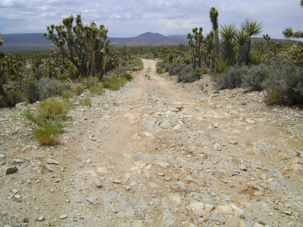 Death Valley Mine Road, Mojave National Preserve (marked as Cima Road on some maps)
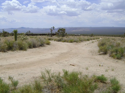 I turn left into the old driveway leading down to Thomas Place, that abandoned building ahead
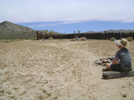 At Thomas Place, I take a break and relax by the fire ring for a moment
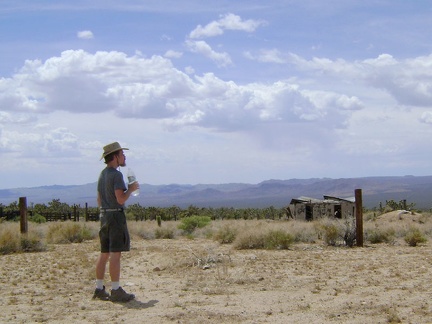 I walk over to the old building here at Thomas Place
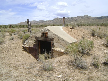 A dugout at Thomas Place, Mojave National Preserve
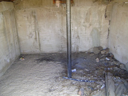 I take a peek inside the dugout at the old Thomas Place homestead
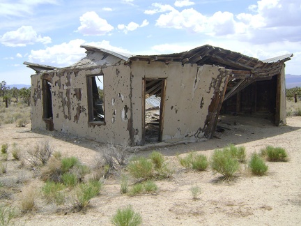 Thomas Place, Mojave National Preserve
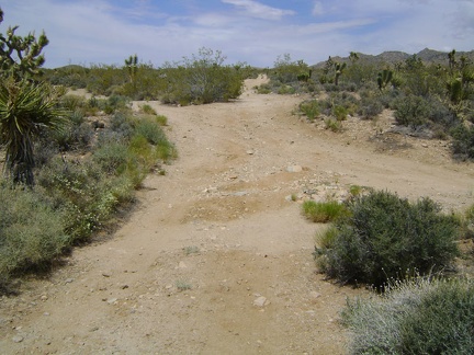 I leave Thomas Place and walk straight ahead up the road toward Live Oak Spring, crossing Death Valley Mine Road on the way
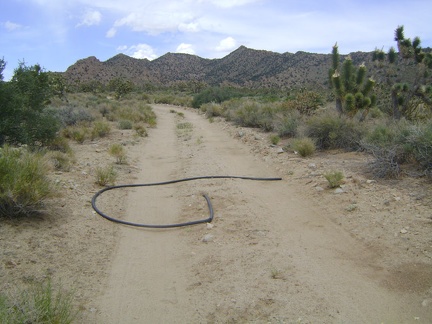 I walk a couple of miles up Live Oak Spring Road on a gentle uphill grade
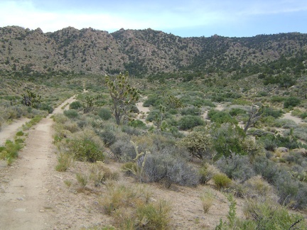 The road comes around a bend and heads southeast toward the Mid Hills and Live Oak Spring
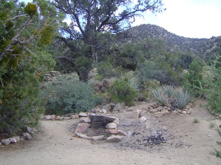 I stumble across two campsites near the end of Live Oak Spring Road, Mojave National Preserve
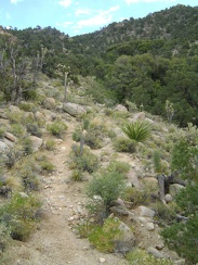 After checking my maps, I realize that I'm not quite at Mojave National Preserve's Live Oak Spring
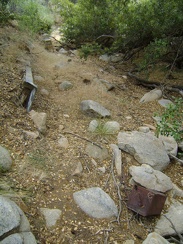 I find myself in a narrow, shaded drainage
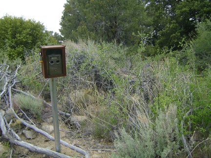 I know I'm at Live Oak Spring when I come across a wilderness camera
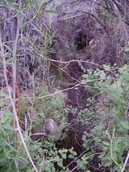 I look into the brush at which the wilderness camera points and discover a dribble of water on the ground
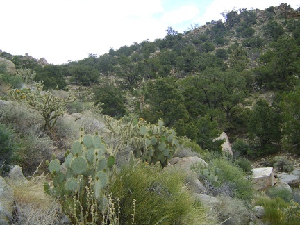 OK, I've checked out Live Oak Spring; now I'm going to try walking over the hills toward Mid Hills campground
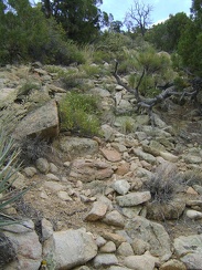 Climbing up the hill above Live Oak Spring turns out to be not so difficult
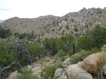 Gaining height in the Mid Hills, I look northeast toward the hills that host Cabin Springs
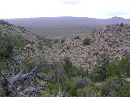 On the way up the hill above Live Oak Spring, I turn back and get one of the better views of Cima Dome that I've had
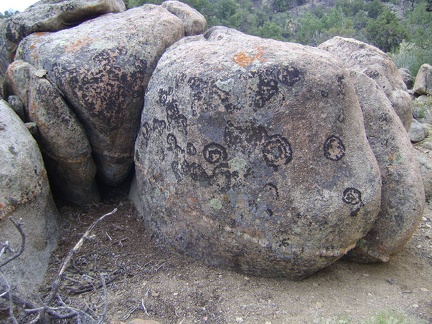 I pass some very interesting boulders above Live Oak Spring
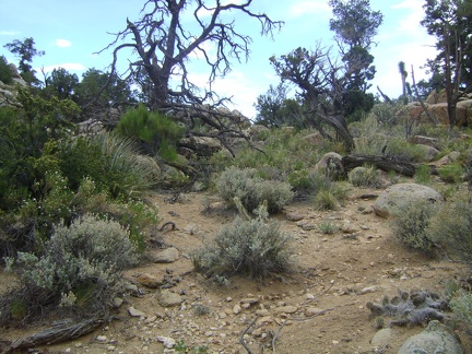 Still heading uphill, I'm almost at the top of the hill above Live Oak Spring
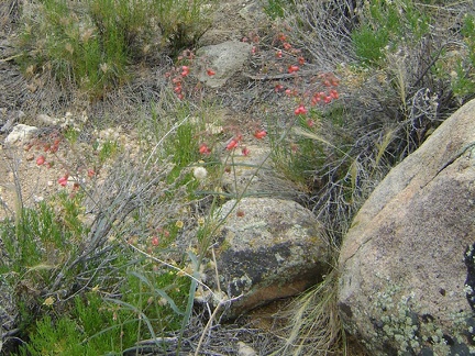 I'm not sure what these red flowers are, but they look like something that hummingbirds would be happy with
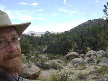 I reach the unnamed pass in the Mid Hills above Live Oak Spring and get a glimpse south across Round Valley to Table Mountain
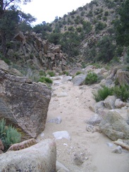 I've arrived at the top of the wash that I identified on my maps and start walking down toward Cedar Canyon
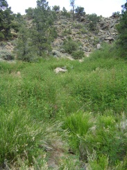 I pass through a green area with low shrubbery
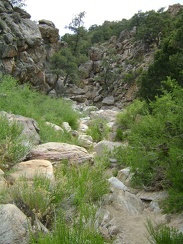 I figure I have about 1.5 miles of descent ahead of me in this little canyon
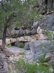 There's a lot of interesting rock in this canyon
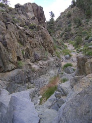 Some of the rocks need to be hopped over
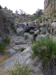 I notice a few moist spots here and there as I climb over the rocks in what I've decided to call Seep Canyon
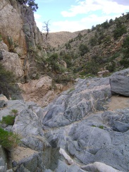 I continue the scenic descent down Seep Canyon
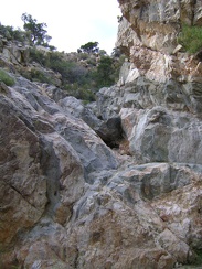 I look back at another pile of rock that I just climbed down in Seep Canyon
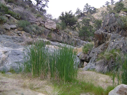 A patch of grasses grows in a muddy spot in Seep Canyon like the ones at "real," identified springs
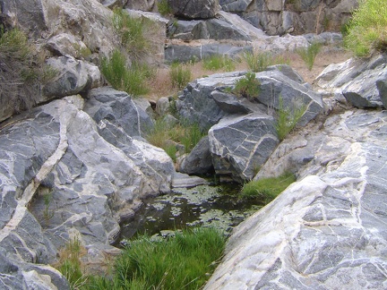 There's even a small pool of water here in Seep Canyon
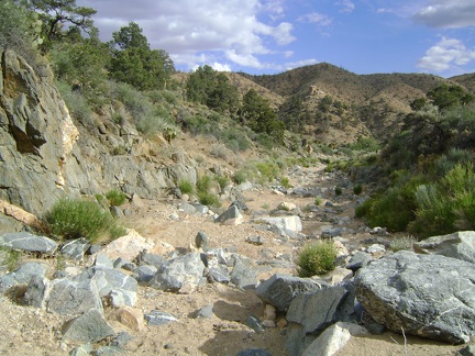 I near the bottom of Seep Canyon and the canyon widens a bit
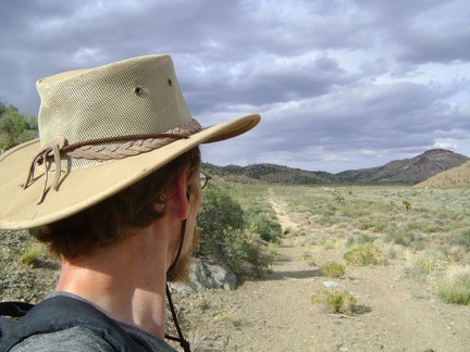 I stumble upon that abandoned alignment of the old Mojave Road again just before arriving at Cedar Canyon Road
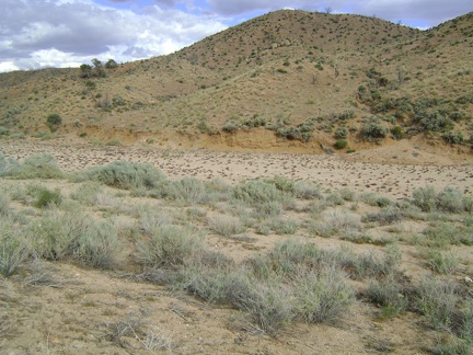 I walk across Cedar Canyon Road, then Cedar Wash, then climb up the hill on a trail-less route back to Mid Hills campground
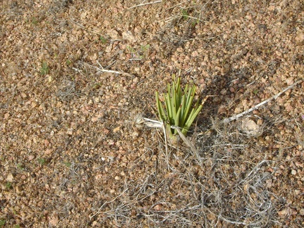 A joshua tree sprouts in the heavily burned hills south of Cedar Canyon Road
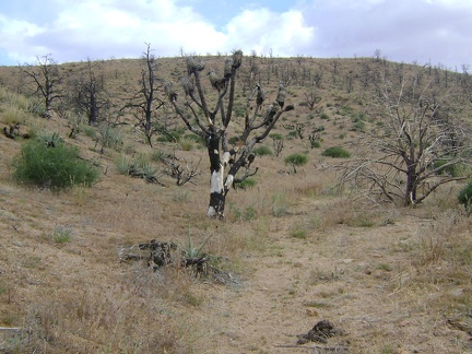 A burned joshua tree in the Mid Hills a couple hundred feet above the south side of Cedar Canyon Road
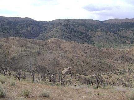 From almost 400 feet above Cedar Canyon Road, I have a nice view to the north across to Seep Canyon, which I just hiked down
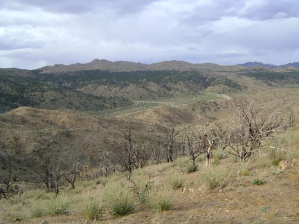 The northeast view from this vantage point provides an overview of Cedar Canyon that I haven't seen before
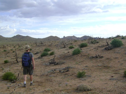 I head southwest across the burned Mid Hills plateau back toward the campground, with Eagle Rocks in the distance
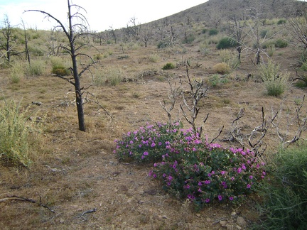 Desert four o'clock flowers brighten up this brown landscape northeast of Mid Hills campground
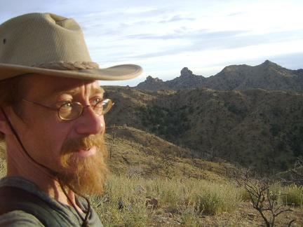 The luminosity of sunset starts to set in on the Mid Hills, with Eagle Rocks in the distance
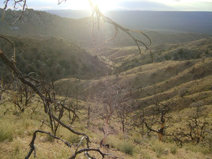 The challenge right now is to hike to my left and get over to that middle ridge without descending down into Eagle Rocks wash
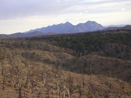 In front of a Providence Mountains backdrop, I can see one of the toilet buildings at Mid Hills campground in the distance
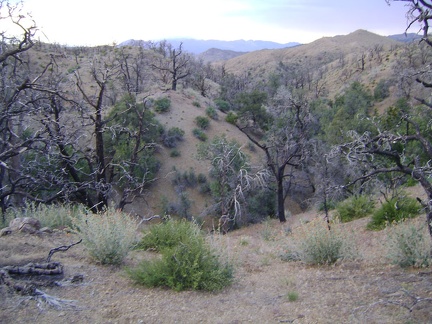 Despite my plan, I end up dipping back down into a drainage wash a bit north of my Mid Hills campsite
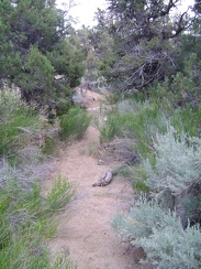 I walk up the drainage to the campground and almost resurface at the back of the wrong campsite at Mid Hills
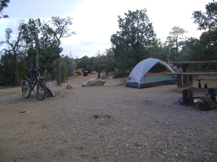 Back at Mid Hills campground, 7.5 hours after starting today's hike, I settle in for my sixth and last night here
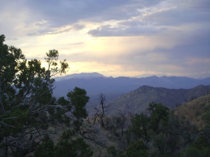 I take in my final sunset from Mid Hills campground toward the Clark Mountains the distance, where I hope to be in a few days
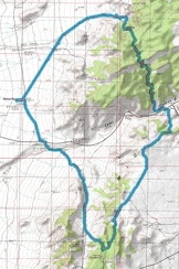 Round-trip hiking route from Mid Hills campground to Thomas Place, Live Oak Spring and "Seep Canyon" (Day 8)
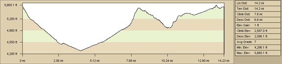 Elevation of round-trip hike from Mid Hills campground to Thomas Place, Live Oak Spring and "Seep Canyon" (Day 8)