Home / Mojave Preserve and Desert bikepacking trips / Spring 2011: Mojave National Preserve and area bicycle camping / Day 15: Pinto Valley, Mojave National Preserve, to Primm via New York Mountains, Ivanpah Road and Nipton by bicycle 76
Today's ride to end the trip is mostly downhill and so scenic. I get to ride five miles on a new-to-me rough backroad that I'll call the Sagamore Canyon Cut-Off. 46.5 bicycle miles and about 2700 feet of elevation loss.

 High winds overnight at Pinto Valley kept me from getting much sleep on this final night of the trip: miserable
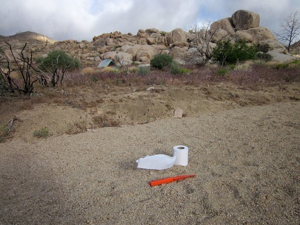 I dig one final cat hole in Pinto Valley and no flies drop by to disturb me while I fill it up
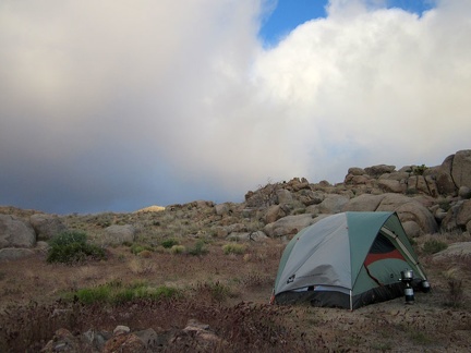
 My tent threatens to blow away while I pack it up one last time (until the next trip, of course)
 Everything is packed up and I'm almost ready to leave Pinto Valley after four nights here
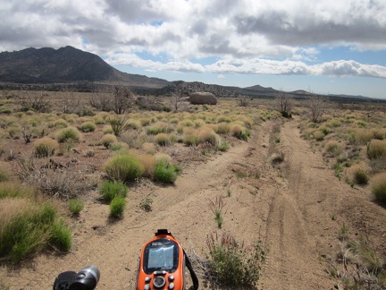 I leave my Pinto Valley campsite at 5650 feet elevation and start coasting down Howe Spring Road around 9h
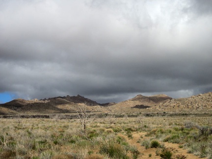 I keep looking back at the ominous clouds behind me as I ride down Howe Spring Road
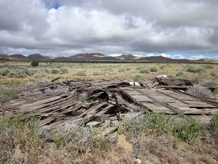 I stop to check out the remains of an old building along Howe Spring Road
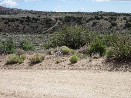 My route ahead will take me across Watson Wash
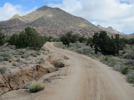 I'm on New York Mountains Road now, and this part of it squiggles toward Drum Peak
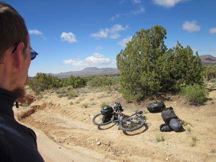 On New York Mountains Road, I notice strange noises coming from the 10-ton bike, so I pull over to see what's wrong
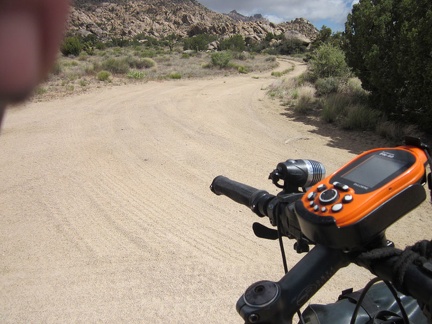 I pass a few little roads in this scenic area at the foot of the New York Mountains near Carruthers Canyon
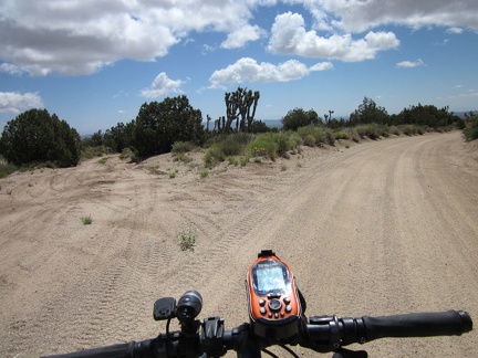 I turn off on an unnamed road, which I'll call the Sagamore Canyon Cut-Off, and leave the better New York Mountains Road behind
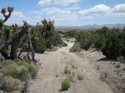 The Sagamore Canyon Cut-Off Road passes through a stand of juniper trees as it begins its gentle descent
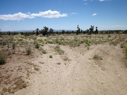 I reach a junction on the five-mile-long Sagamore Canyon Cut-Off Road
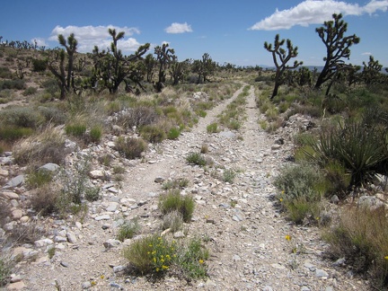 Sagamore Canyon Cut-Off Road is rather rough in places
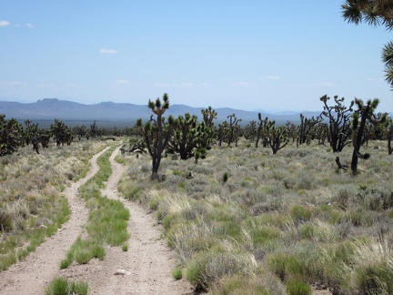 Much of the landscape along Sagamore Canyon Cut-Off Road seems to be quite pristine
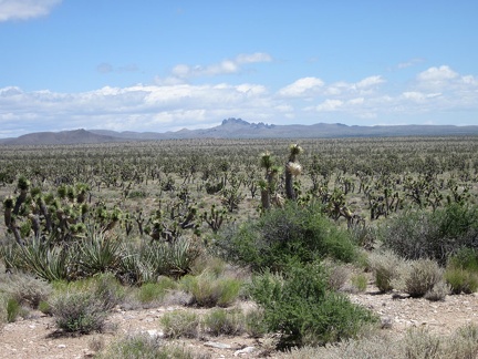 I can see across the eastern end of Lanfair Valley over to the Castle Peaks area, where I spent a few days last week
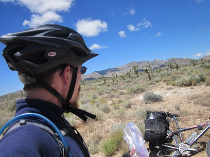 It's time for a short break to enjoy the solitude of Sagamore Canyon Cut-Off Road without the noise of the 10-ton bike
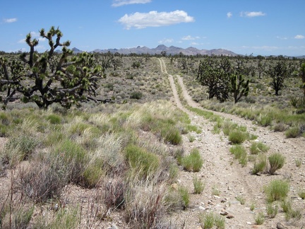 Sagamore Canyon Cut-Off Road rolls over many low humps, since it cuts across drainage areas from the New York Mountains
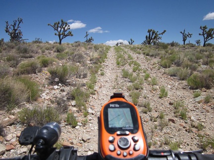 A few short slopes with loose rock on the Sagamore Canyon Cut-Off road force me to get off the bike and walk a bit
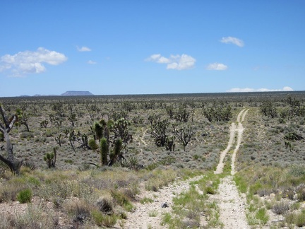 Looking back behind me, I can see all the way across Lanfair Valley to flat-topped Table Mountain
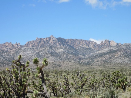 Great views from here across the joshua-tree forest to the New York Mountains peaks
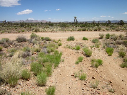 My five-mile ride across the Sagamore Canyon Cut-Off road comes to an end when I reach the bigger Ivanpah Road
 Ivanpah Road is wide and gravelly
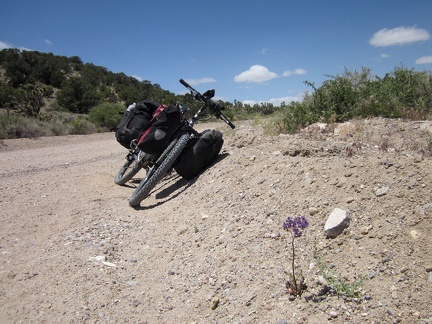 I pull over on Ivanpah Road to check out a couple of Phacelias (Desert canterbury bells) in bloom
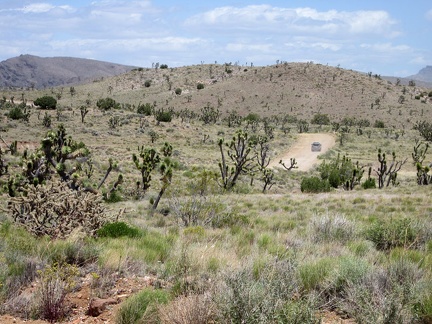 A couple of cars pass me along Ivanpah Road
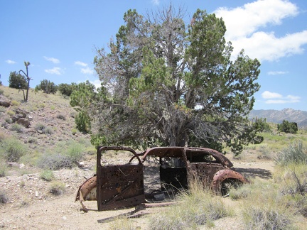 I turn down a side road, just to see what's there, and find this old shot-up car
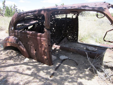 Not only is the old car (1940s?) well-shot-up, but it's well-buried in sand
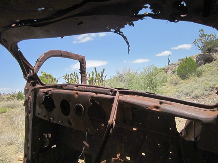 Nice view from the driver's seat!
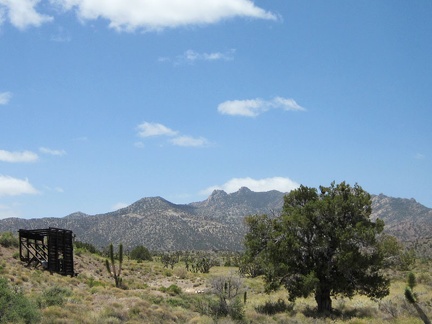 I walk over to that old headframe, or whatever it is, with the New York Mountains backdrop
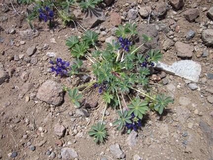 I spot a tiny bit of blue in the landscape!
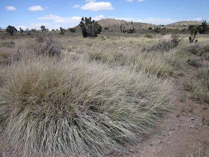 Some of the bunch grasses in this high valley are quite bushy
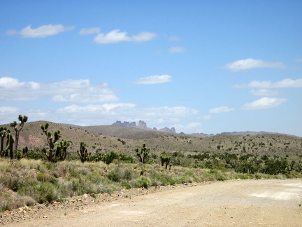 I return to the task of riding back to Primm, Nevada and have views of the Castle Peaks from this part of Ivanpah Road
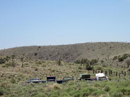 As I ride past Barnwell, I have to take another photo of the lined-up junked cars
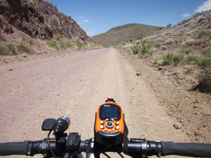 This segment of Ivanpah Road follows the old railway grade from 100 years ago, and thus cuts right through the hills
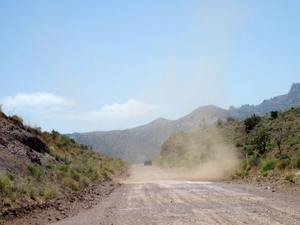 An uphill car passes me as Ivanpah Road begins its descent into Ivanpah Valley
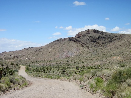 I recognize the Bathtub Spring Peaks area as I ride down Ivanpah Road
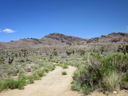 I pause briefly along Ivanpah Road when I pass the dirt track leading up to Bathtub Spring, where I hiked on day 6
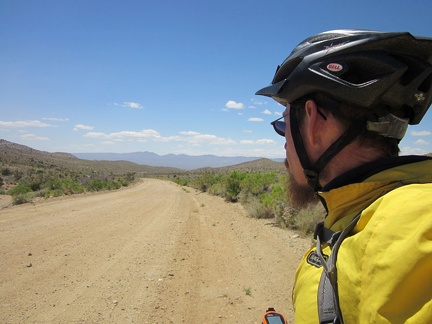 In today's cool weather, I'm wearing my windbreaker over my sweater as I descend slowly into Ivanpah Valley
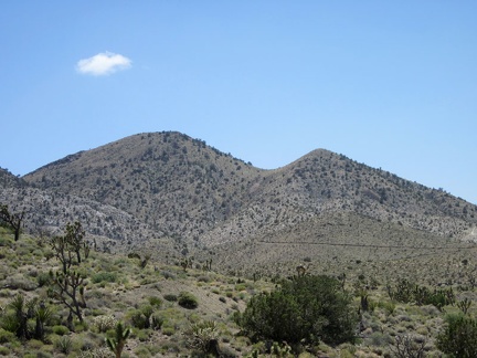 On the west side of Ivanpah Road, I can see roads leading up the hillsides in the Slaughterhouse Spring area
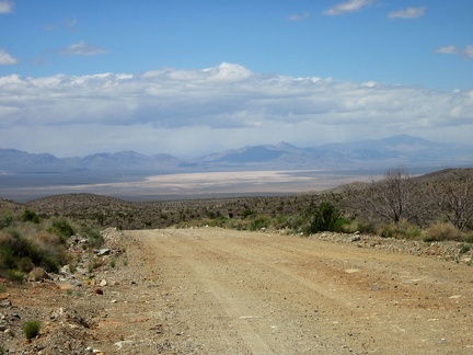 Downhill I ride toward Ivanpah Valley
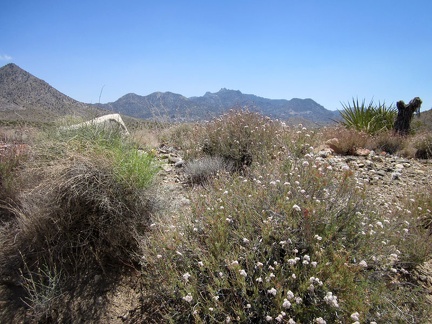 Buckwheats are still flowering along this stretch of Ivanpah Road
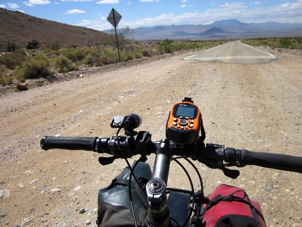 I arrive at the beginning of the pavement on Ivanpah Road
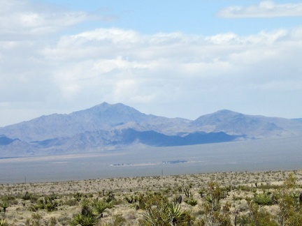 Down there in the middle of Ivanpah Valley is a homestead
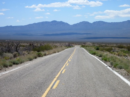 It's fun to be on pavement again for a change, even if it's only for 2.5 miles: especially since it's downhill
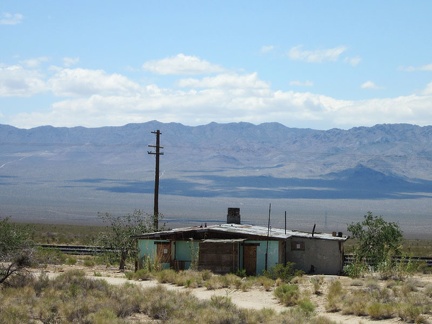 As I approach the train tracks, I pass the old Ivanpah General Store
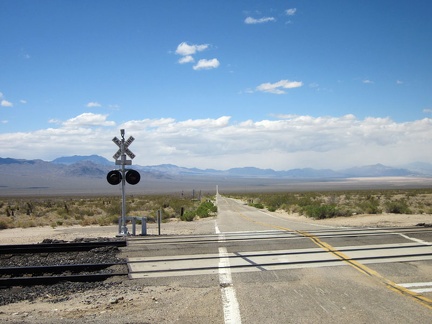 At the Ivanpah Road railroad crossing, I make a right turn toward Nipton on the dirt road (Nipton-Moore Rd) that hugs the tracks
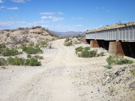 Lonely Nipton-Moore Road dips down to cross numerous drainage washes as it crosses the desert alongside the train tracks
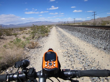 I have almost 20 miles to ride on this road until I reach Primm and end the day (and this year's trip)
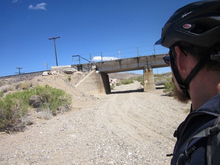 I pass another of these railway bridges and this one has a sandy road running under it, toward Willow Wash
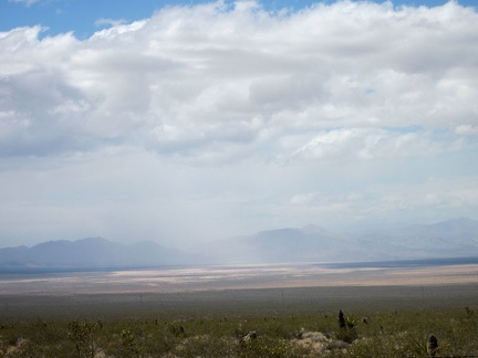 Hmmm... it looks like some light rain is falling further over in Ivanpah Valley
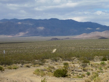 Nipton-Moore Road rises over a few mounds, and from this one, I can see over to a small outcrop I've nicknamed 'Black Palisades'
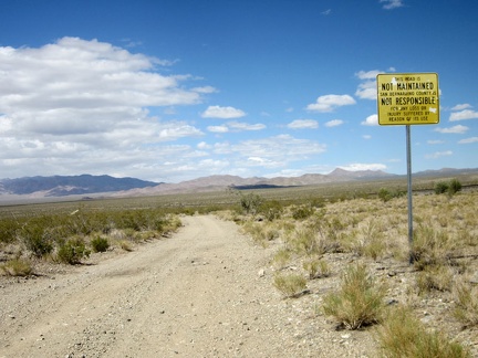 This road is not maintained...
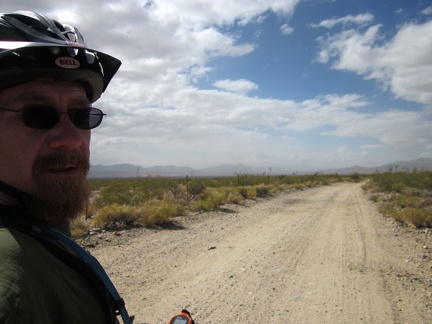 I think I'm riding right into that cloudy area...
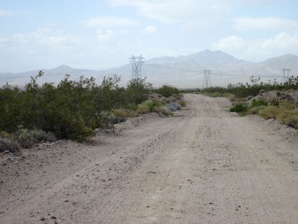 Just another three miles, and I'll arrive at Nipton for my rest stop
 My dirt road crosses the paved Nipton Road, where I get off to visit the general store
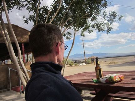 I stop at Nipton for a relaxing 1.5 hours; I eat vegetable chips and have some liquid refreshment
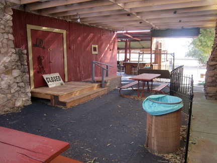 The café at Nipton is closed right now due to plumbing problems
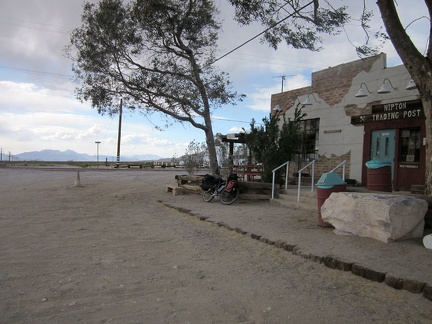 I guess I need to leave Nipton and get on with the final leg of this trip
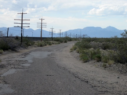 I'm back on the train-track road, but this time a few miles of it are paved, and called Nipton-Desert Road
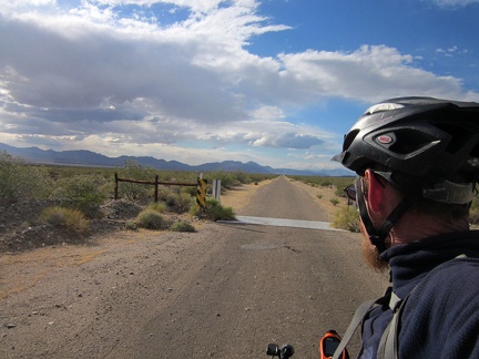 I cross the cattle-guard on Nipton-Desert Road
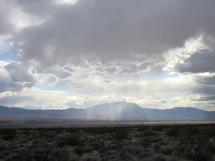 It looks like a few rainy patches are moving around out in the middle of Ivanpah Valley
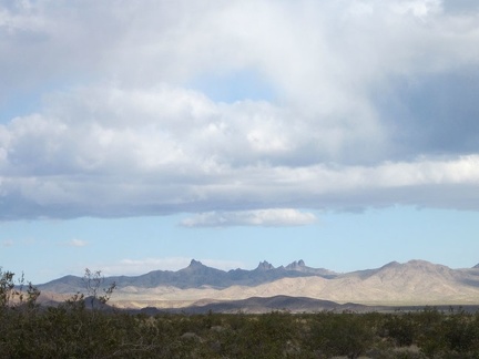 I zoom in behind me for a final glance at the Castle Peaks area of the New York Mountains
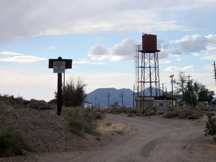 The pavement on Nipton-Desert Road ends at private property and the road turns sharply left to cross under the train tracks
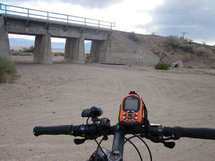 Nipton-Desert Road crosses under the train tracks at the one-house settlement of Desert, California
 I keep looking back at the murky clouds over upper Ivanpah Valley toward Cima and the New York Mountains
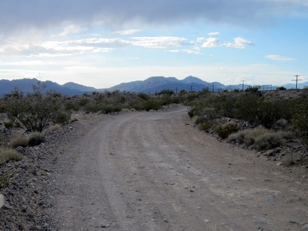 Nipton-Desert Road comes out from under a few dark clouds as I ride toward Primm
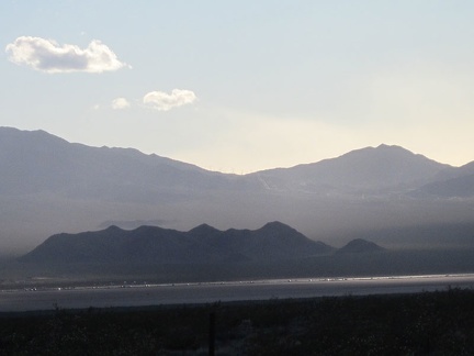 Vehicles on the I-15 freeway, on the other side of Ivanpah Valley, glisten as the setting sun peers through the clouds
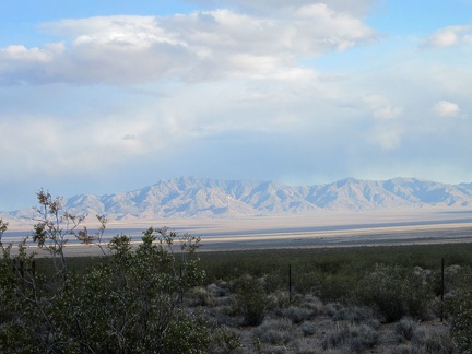 From here, I can see back to the New York Mountains ridge line where I hiked yesterday (Cliff Canyon Springs Peaks)
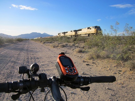 It's always fun when a train passes by while riding these trackside roads in the Mojave Desert
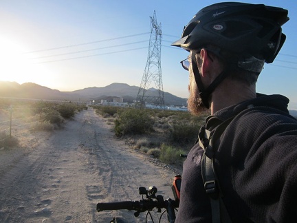 Well, there's Primm, Nevada just ahead; I guess this year's trip is officially over
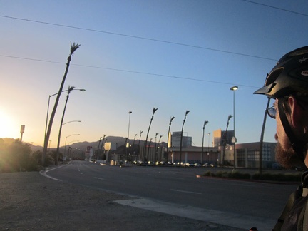 Back on the pavement of Primm, Nevada, where I started two weeks ago
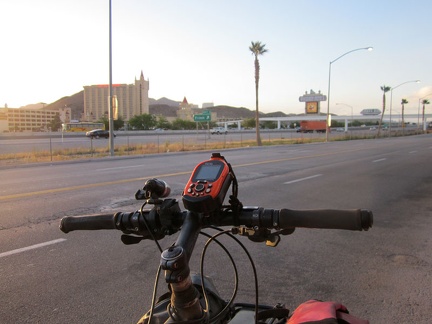 There's Whiskey Pete's Casino and Hotel on the other side of the freeway, where I'll spend this last night; trip over!
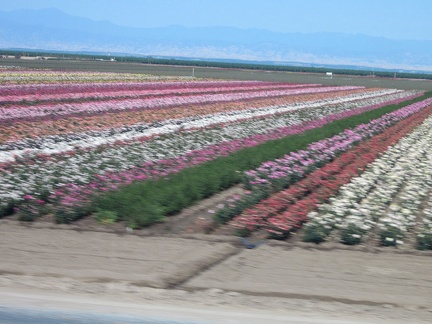 Tomorrow morning, an Amtrak bus will deliver me to the train in Bakersfield, which passes through fields of roses in Wasco
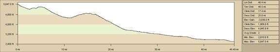 Elevation profile of Pinto Valley to Primm, Nevada bicycle route via Ivanpah Road
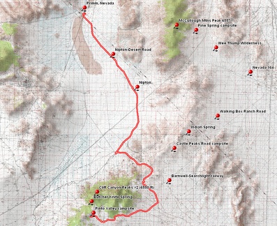 Pinto Valley to Primm, Nevada bicycle route via Ivanpah Road