Home / Mojave Preserve and Desert bikepacking trips / Spring 2011: Mojave National Preserve and area bicycle camping / Day 7: Castle Peaks Road to Mid Hills Campground, Mojave National Preserve, by bicycle via Lanfair Valley 71
Another perfect day, temperature-wise, though a bit windy at times. I pack up and move camp over to the Mid Hills area for a few days. 42.5 slow dirt-road bicycle miles plus about 2300 feet of elevation gain.

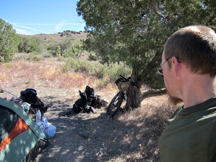 It's warm in the sun this morning, so I move everything into the shade of my juniper tree while I pack up camp
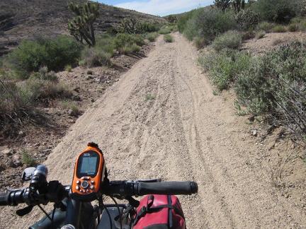 I hate packing up, but it went reasonably well, and now I begin the ride down Castle Peaks Road
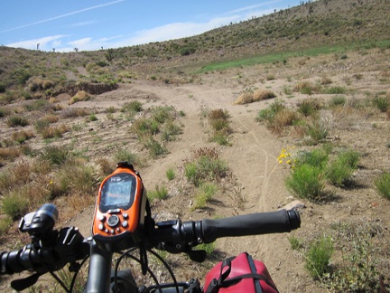 Approaching the dry reservoir on Castle Peaks Road, I see more of my bicycle tracks from three days ago
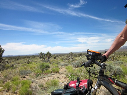 Today's ride will be to the other side of Lanfair Valley, roughly as far as the eye can see here
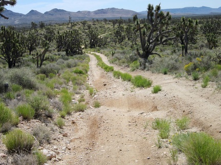 It's fun riding down this little hill on Castle Peaks Road on the way out of the New York Mountains foothills
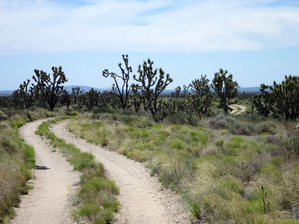 Riding a winding road in a quiet joshua-tree forest is always enjoyable
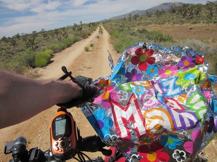 Castle Peaks Road ends after 30 minutes; I start riding the Barnwell-Searchlight railway grade and find this stray balloon
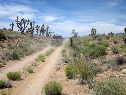 I have a slight headwind, so I don't hear the six 4WD vehicles sneaking up behind me on the Barnwell-Searchlight railway grade
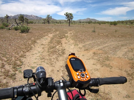 After 3 miles on the Barnwell-Searchlight railway grade, it ends by an open area, where the next road on my route should begin
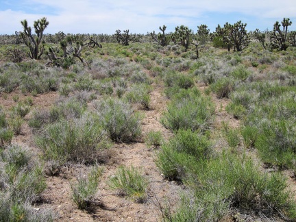 With assistance from my Delorme GPS, I locate the old road that I'm hoping to follow; it's nearly invisible!
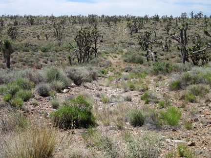 After about 100 feet on this old grown-in road, I decide to turn back and take the longer, but easier, Hart Mine Road instead
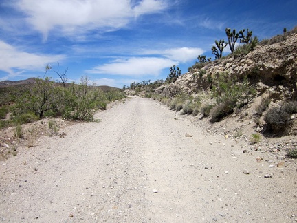 Hart Mine Road is a rough dirt road that rises about 250 feet in 2.5 miles on my detour route via Barnwell
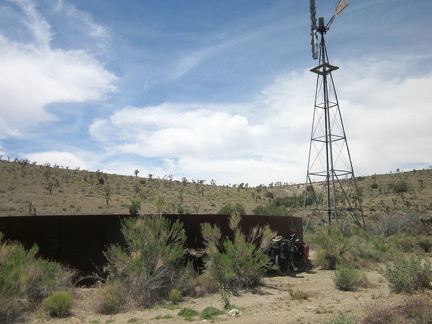 As I approach the former settlement of Barnwell, Mojave National Preserve, I pass an old windmill and water tank
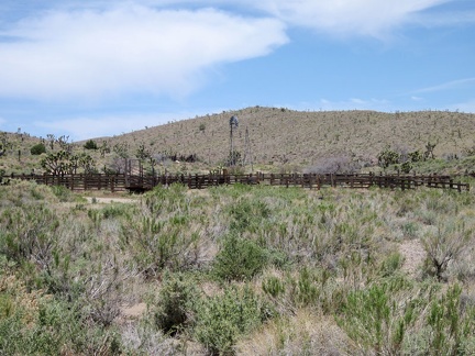 Across the road from the old Barnwell water tank is a corral and another windmill
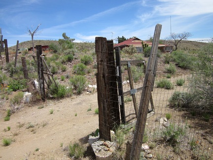 That old house at Barnwell that I always notice with all the junked vehicles around it: the gate is open
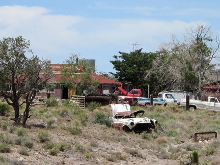 It might be interesting to count how many old cars and trucks sit on this Barnwell property!
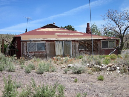 This old house at Barnwell, Mojave National Preserve looks like it was once well cared for
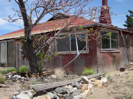 The old house at Barnwell has a stone chimney
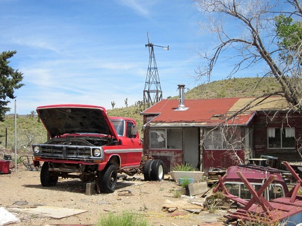 Behind the main house at Barnwell is a smaller, more modest, "guest-quarters" house
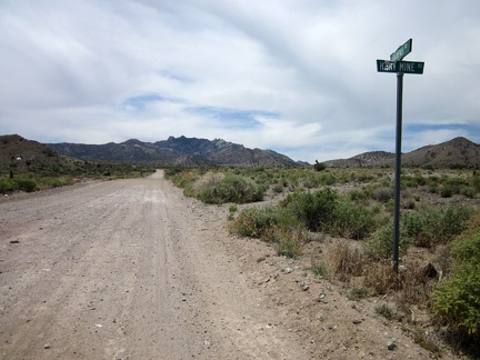 Hart Mine Road ends at Barnwell, so I turn south on Ivanpah Road, with the New York Mountains peaks in front of me
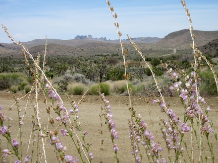 From the top of Ivanpah Road near Barnwell, I can still see over to Castle Peaks, but this view won't last long
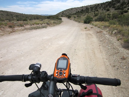 Ivanpah Road rolls over a pass in the New York Mountains and then descends slowly into Lanfair Valley
 I locate a berm of earth, part of the old Ivanpah railway grade and the "invisible" road I wanted to ride earlier
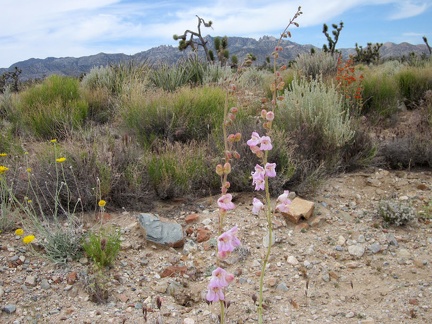 With relatively few wildflowers along Ivanpah Road, this little garden against a New York Mountains backdrop gets my attention
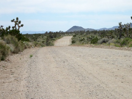 Ivanpah Road rides ever so slightly downhill across Lanfair Valley
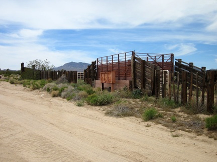 The 10-ton bike takes a break at the junction of New York Mountains Road so I can check out an old OX Ranch corral
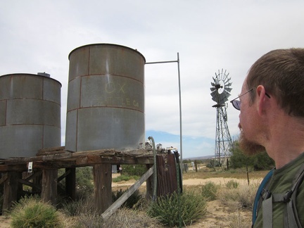 A couple of old water tanks and a windmill sit near Ivanpah Road at the OX Ranch site
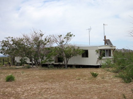 One of the buildings remaining at the OX Ranch site is this mobile home
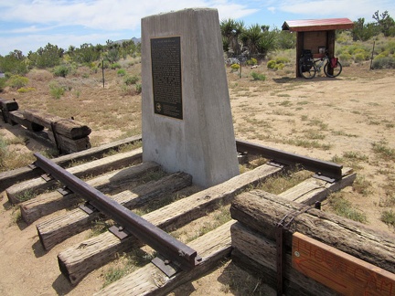 A bit beyond the OX Ranch site is a private, by-reservation-only campground called 'Mojave Desert Outpost'
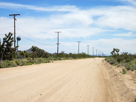 I know I'm getting close to the junction of Ivanpah Road and Cedar Canyon Road when I see power lines along the road
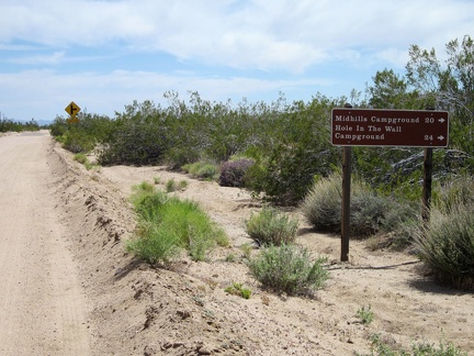 I've been riding Ivanpah Road for over two hours; I'll turn right onto Cedar Canyon Road just ahead
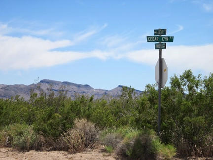 The junction of Ivanpah Road and Cedar Canyon Road is my low point of the day, at about 4050 feet elevation
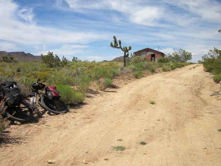 Riding up Cedar Canyon Road, I spot an abandoned house, so the 10-ton bike pulls over to allow a few minutes of exploration
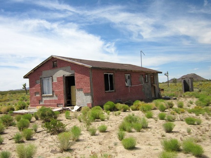 At first, I think the house has been vandalized, then I think maybe it's in the process of being demolished
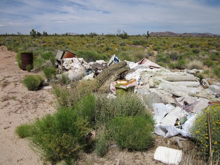 A pile of debris sits in front of the little house on Cedar Canyon Road
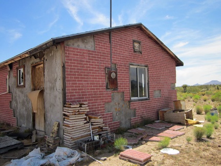 Behind the little house on Cedar Canyon Road, some of the old fake-brick tiles are neatly piled
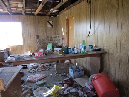 I peer through a broken window at the disarray inside the house
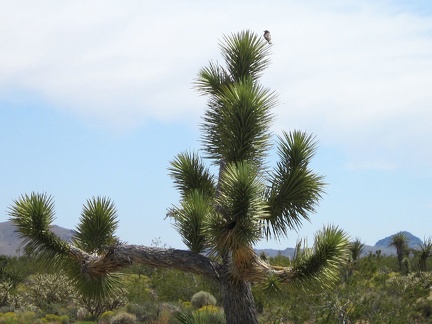 Near the old house, a bird lands atop a joshua tree
 Some stretches of Cedar Canyon Road have significant sand accumulation, in addition to being washboarded
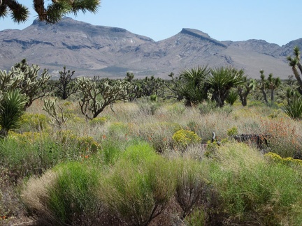 I can zoom in for good views of the Hackberry Mountains while riding Cedar Canyon Road
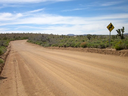 Long stretches of Cedar Canyon Road are perfectly straight, but there are some curves and even a few 90-degree corners
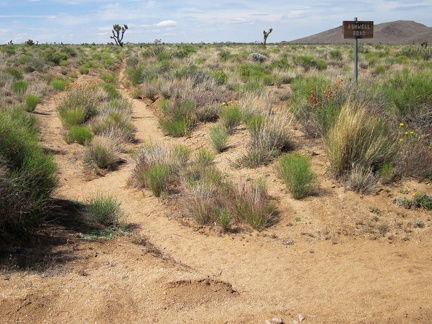 I'm intrigued by this sign for Ashwell Road, since there's not much of a road visible here
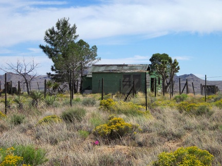 A short distance ahead is another modest old house along Cedar Canyon Road, against a Hackberry Mountains backdrop
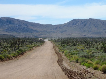 Oooo, a car is approaching on Cedar Canyon Road!
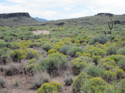 In this part of Lanfair Valley right now are some wide expanses of small yellow flowers
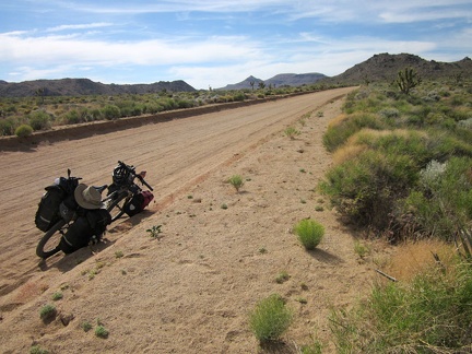 The 10-ton mountain bike slowly gains altitude on Cedar Canyon Road
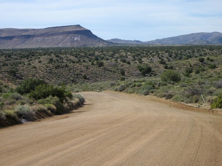 I'm riding a curvy stretch of Cedar Canyon Road now, heading straight toward Pinto Mountain for a few minutes
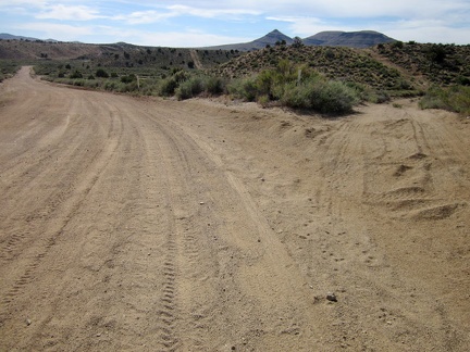 As I approach Watson Wash on Cedar Canyon Road, I pass a turn-off to an old alignment of the 4WD Mojave Road
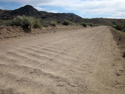 I rattle my way across the part of Cedar Canyon Road that crosses Watson Wash
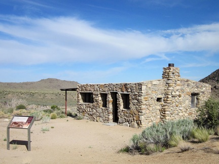 After crossing Watson Wash, I turn off Cedar Canyon Road to visit the Bert Smith rock house
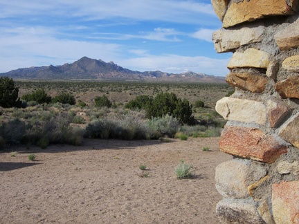 The Bert Smith rock house has an excellent view from the front door
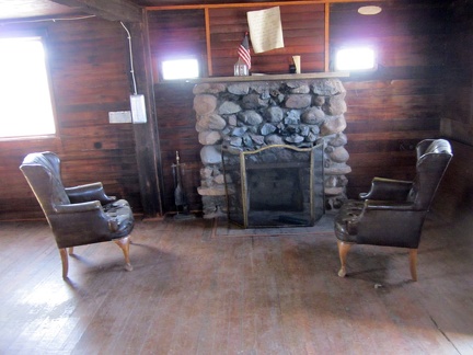 To my surprise, the door to the Bert Smith rock house is not locked like it was when I last visited
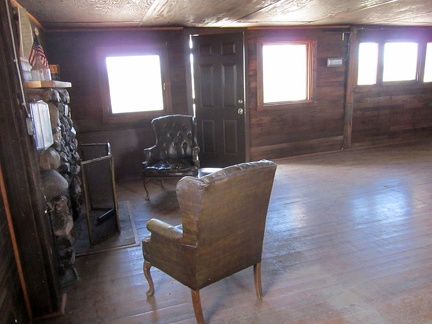 The Bert Smith rock house has a low ceiling and dark-colored surfaces
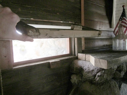 The little windows that flank the fireplace in the Bert Smith rock house are hinged on the top
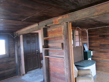 A small kitchen hides behind these built-in shelves; interesting joint in the beam
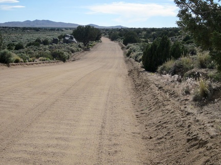 After my visit to the Bert Smith rock house, I continue riding westward on the washboard of Cedar Canyon Road
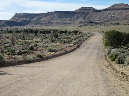 Cedar Canyon Road bends again and heads toward Pinto Mountain for a few minutes
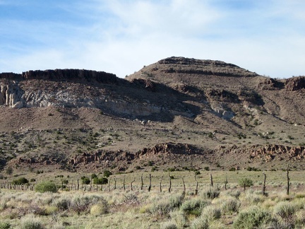 I like this old range fence off Cedar Canyon Road in front of Pinto Mountain
 I reach my shortcut road that connects Cedar Canyon Road with Black Canyon Road
 As I climb the gentle hill, I reach a part of the shortcut road with far fewer tire tracks
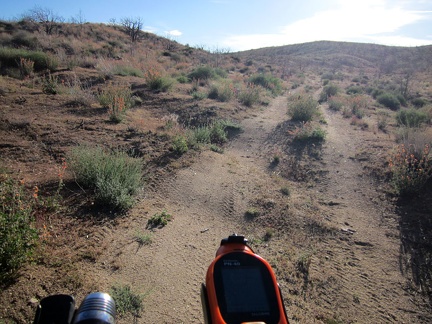 The shortcut road is only 3/4 mile long, but it's nice to be off the main roads for a few minutes
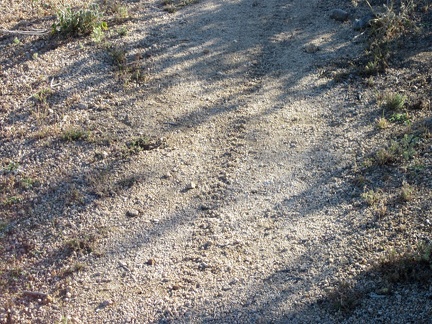 Hey, a fresh bicycle track on the shortcut road, and it isn't mine!
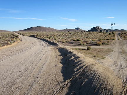 I'm back out on a main road now (Black Canyon Road this time) and pass the windmill at Holliman Well
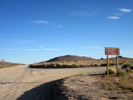 At the junction of Black Canyon Road and Wild Horse Canyon Road, I decide to turn right toward Mid Hills campground
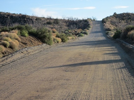 A couple of short steep hills on the final stretch on Wild Horse Canyon Road toward Mid Hills campground always get me
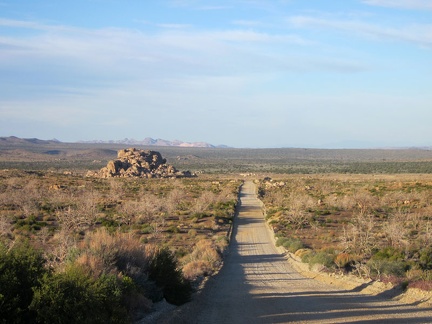 I check out the view behind me while walking the 10-ton bike up the little hill
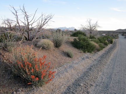 I make it up to the crest of Wild Horse Canyon Road and a few orange desert-mallow flowers say "hello"
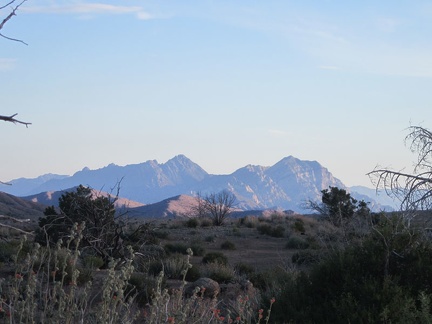 The Providence Mountains often catch a bit of pink light at the end of the day
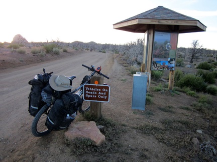 I arrive at the Mid Hills campground entrance kiosk; I'm happy to be back for yet another visit
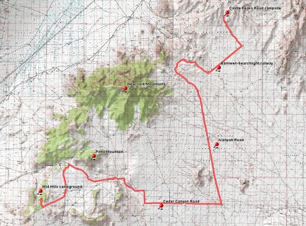 Bicycle route from Castle Peaks campsite to Mid Hills campground via Cedar Canyon Road
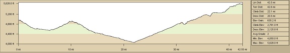 Elevation profile of bicycle route from Castle Peaks campsite to Mid Hills campground via Cedar Canyon Road