Home / Mojave Preserve and Desert bikepacking trips / Fall 2010: Route 66 and Kelso Dunes Wilderness Bicycle Camping / Day 7: Ludlow to Newberry Mountains by bicycle on Route 66 48
The forecast of a strong headwind doesn't materialize, so it makes for great riding. As the day unfolds, my plan to camp in the Rodman Mountains Wilderness changes, and I end up in the Newberry Mountains foothills instead.
40 bicycle miles with about 1200 feet of elevation gain.

 I slept so well last night here at the Ludlow Motel: the breakfast menu in my room invites me over to the café for FLUFFY
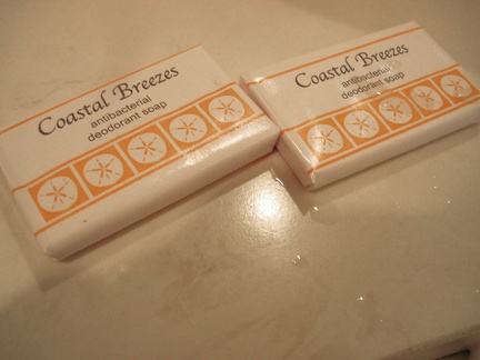 Ludlow Motel, in the heart of the Mojave Desert, has soap in the bathrooms called "Coastal Breezes"
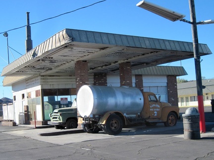 Between the Ludlow Café and the Ludlow Motel rests a former gas station, decorated with a couple of old vehicles
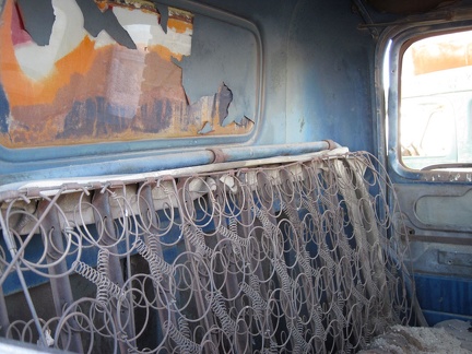 Please, have a seat
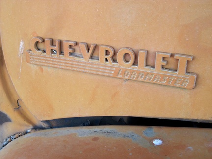 Loadmaster
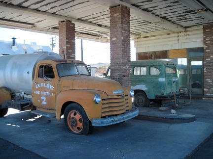 The two antique vehicles are protected from sun and rain under the old gas-station canopy
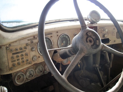 Interesting switches on the dashboard panel of the old van
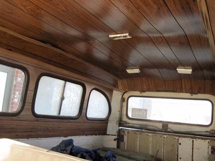 Faux wood paneling in the back of the old van, sagging a little
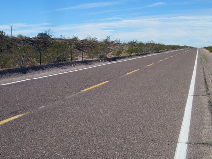 I'm out of my motel room by 10h30 and start my way up the first 8-mile segment of Route 66 toward Barstow from Ludlow
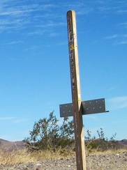 After almost six miles, I notice a little sign for "Sleeping Beauty Road"
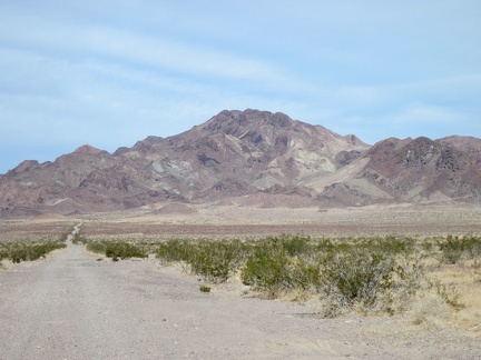 I stop at Sleeping Beauty Road for a very short break; it occurs to me that I could ride up this road and do a nice hike
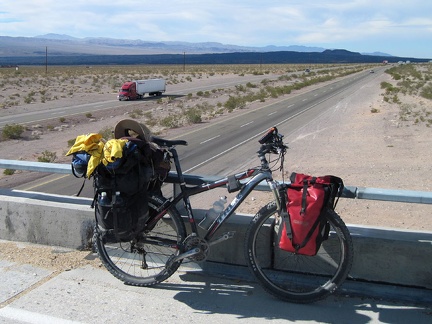 Old Route 66 makes a couple of 90-degree turns in order to cross the I-40 freeway
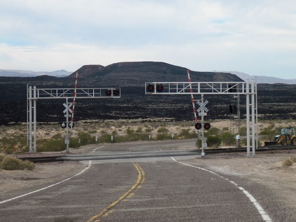 As old Route 66 crosses the tracks just after an I-40 overpass, I'm briefly facing Pisgah Crater
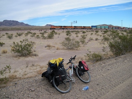 Not long after I cross the tracks, another one of those endless freight trains passes by
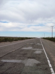 I'm on that rough part of old Route 66 again between Newberry Springs and Pisgah siding
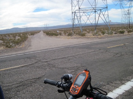 I cross the powerline road that cuts through the Cady Mountains just a few miles north of my campsite at Broadwell Dry Lake
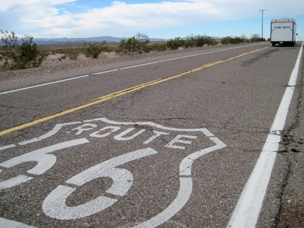 Now that I'm getting closer to the town of Newberry Springs, I'm starting to see a few more cars on this part of old Route 66
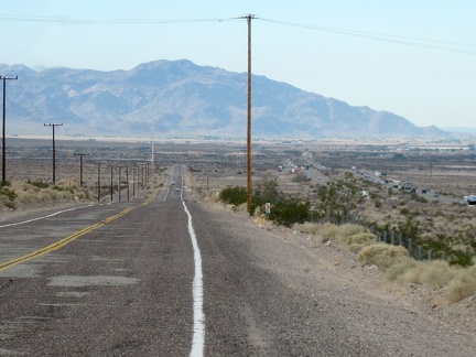 I begin the slight downhill on old Route 66 into the town of Newberry Springs, with the Newberry Mountains in the background
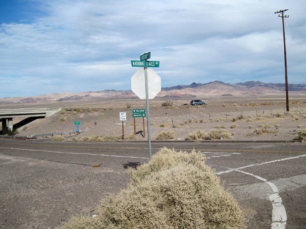 Hector Road here provides an opportunity for cars to get off old Route 66 here and get back on the freeway
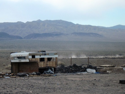 This abandoned property at the east end of Newberry Springs has a commanding view of the Rodman Mountains in the background
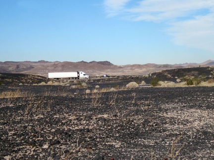 East of Newberry Springs, the freeway is really close to old Route 66
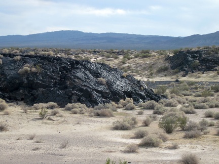 This lava outcrop along old Route 66 glistens in front of its Rodman Mountains Wilderness Area background
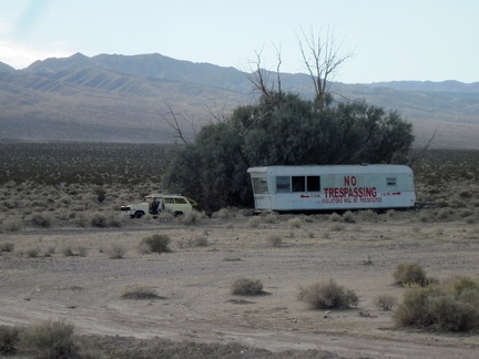 Perhaps the biggest no-trespassing sign I've seen on this trip, just east of Newberry Springs
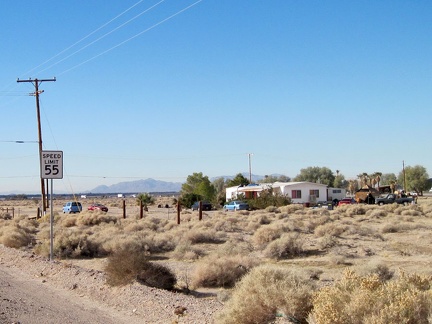 Now that I'm closer to town (Newberry Springs), I'm starting to pass more properties that are occupied
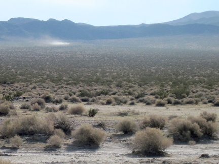 I see another motor-created dust cloud traversing the desert in front of the Rodman Mountains Wilderness Area
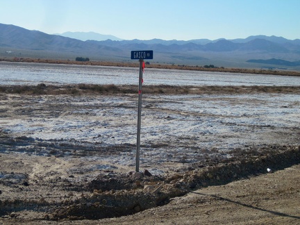 I stop to take a look at Gasco Road, which cuts across the salt pan on its way up to the Rodman Mountains Wilderness Area
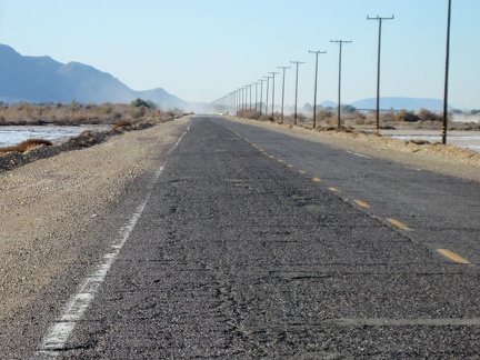 First, I think I'll ride the couple of remaining miles into Newberry Springs and refill my water supply
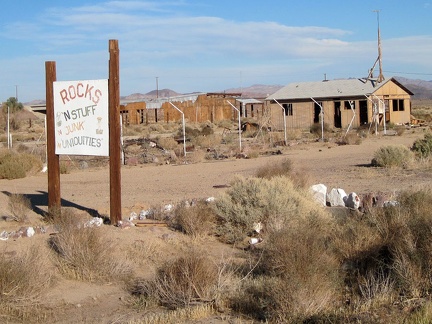 Here's another old business on Newberry Springs' Route 66 that didn't make it: "Rocks 'n' Stuff"
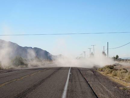 Newberry Springs: dirt-bikers paradise!
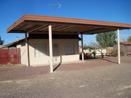 This old property on Route 66 in Newberry Springs is nicely maintained
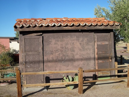 Old public toilets on Route 66, Newberry Springs
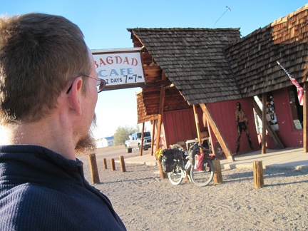 I figure I might as well stop in at the famous Bagdad Café since I'm passing by
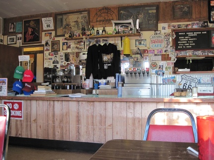 Bagdad Café: I'm hungry (again), so I order a plate of scrambled eggs and bacon
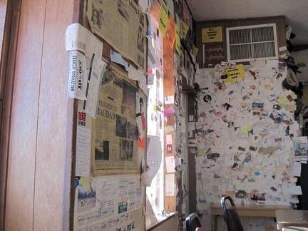 Bagdad Café: I begin to notice that most of the business cards and other paraphenalia on the walls are from France
 Bagdad Café: business cards, welcome signs (bienvenue) and personal messages everywhere, le tout en français
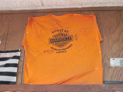 Bagdad Café: a French Harley shirt, mounted high on a wall
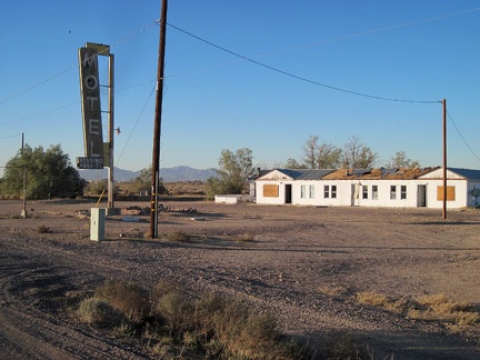 I take a quick glance at the old Henning Motel next door to the Bagdad Café as I get back on the road
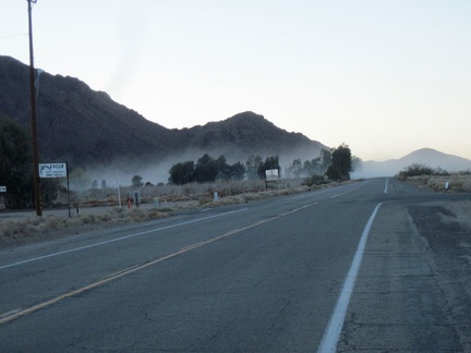 I ride through another dirt-bike dust cloud as I head west on the way out of Newberry Springs
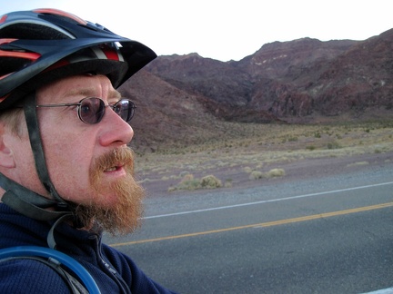 The Newberry Mountains briefly come right up to old Route 66 along here
 Westward on Route 66 I go, crossing under the I-40 freeway and leaving Newberry Springs
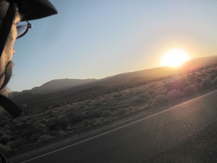 Another Route 66 sunset as I ride west from Newberry Spring
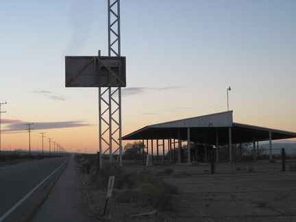 I ride by the California Agricultural Inspection Station, closed in 1967, which I passed on the first day of this trip
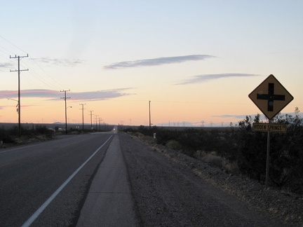 Finally, I arrive at my exit from Route 66, Hidden Springs Road, and turn left
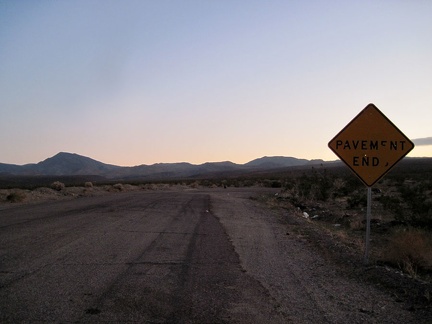 I look for the dirt road to follow after pavement ends at the foot of the Newberry Mountains, a short distance from the freeway
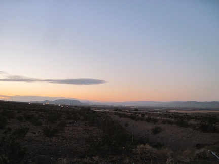 Hmmm.... The city lights of Barstow are not so far away as I start my way up the road into the Newberry Mountains foothills
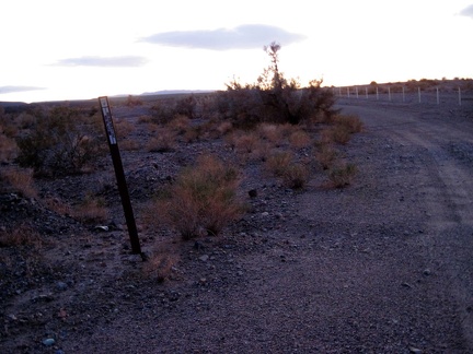 In darkness, I head up the dirt road about a mile, set up camp, then an unexpected rain and wind storm descends upon me
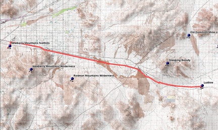 Route 66 Newberry Mountains bicycle route
 Elevation profile of Route 66 Newberry Mountains bicycle route