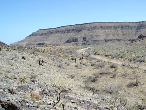
As soon as I get on the pavement of Black Canyon Road, elevation 4200 feet, I see a park vehicle and it turns out to be the same park ranger that I spoke to yesterday while I was struggling up Cedar Canyon Road. He pulls over and we chat.
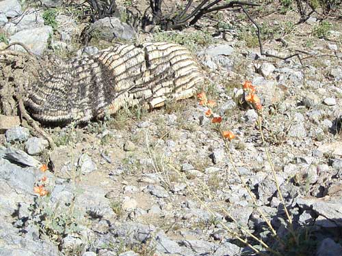
This barrel cactus burned so much that it actually deflated, while the majority of damaged cacti in the area were just charred by last summer's brush fires; orange desert mallow flowers nearby don't seem to care
I ask him about the condition of the west end of New York Mountains Road (whether he thinks it might be rideable for me or not) because I am considering that route tomorrow to get to the Caruthers Canyon area. I understand that these can be difficult questions for non-cyclists to answer, so I always try to weigh whatever replies I get to such questions accordingly.
His comments are really, really helpful and provide some perspective on what I might face if I decide to try that route. "If you were able to ride this, then you could probably ride that; if you were willing to walk this much of one road, then you could probably walk this much of that other road if you need to. Such-and-such an area is really sandy, but that clears up somewhat after a while."
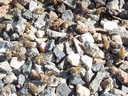
Bees buzzing around the water drip from the spigot of the outdoor tap next to Hole-in-the-wall Visitor Centre
He explains how there are two "New York Mountains Roads" off Cedar Canyon Road and marks them on a map that he gives to me. He also points out that, should I have a lack-of-water emergency, there is now park staff living in the old OX Ranch houses at the junction of New York Mountains Road and Ivanpah Road.
I certainly don't intend to disturb them, but this is good to know, just in case, since there is no public water around there for many, many miles.
My cell phone doesn't work here, which is what I expect after having studied Sprint's coverage map, but the ranger says that it might work, like his does, if I move a few hundred feet south. Then again, when I told him that my phone worked at Kelso Dunes, he said that his usually doesn't work there.
Our conversation finished, I thank him for all the help and ride on over to the nearby Hole-in-the-wall Visitor Centre. There's a water tap there outside and a pay phone.
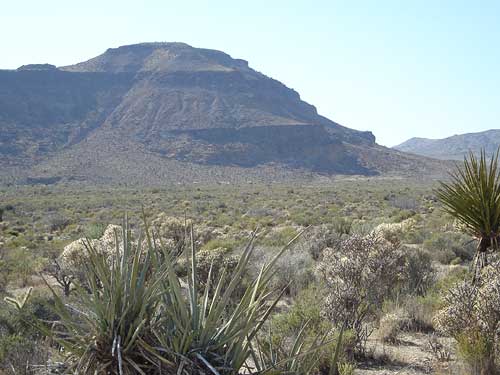
From the area of the fire station, the Hole-in-the-wall campground is just barely visible on the flat lands at the base of the mountain
I'm both surprised and happy that the visitor centre sells batteries because my camera is acting up due to lack of juice. The batteries are reasonably priced, so I buy some, even though they're the cheaper sort that won't last very long.
I fill up my water bottles at a tap outside and there are lots of bees buzzing around it, loving the moisture from the drip.
I make a calling-card call to my buddy Trennel in the Los Angeles area to let him know that all is still well, and to coordinate with him in case he has an unlikely urge to visit the area and wants to meet up with me somewhere. His line is busy; maybe he's on-line.
To pass the time, I ride over to the area of the group campground and fire station on the other side of Black Canyon Road. I discover a pay phone here too, but his line is still busy.
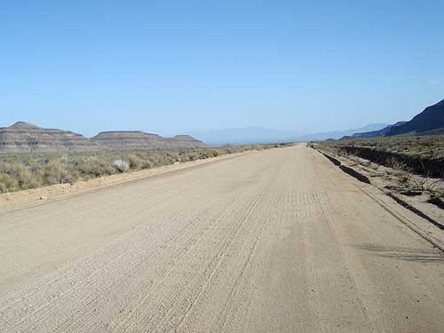
Looking south down Black Canyon Road toward Interstate 40 and old Route 66, where I'm not going today
After a while, decide that I can't wait any longer to try calling him again.
I'm not expecting to have phone access again until the end of the day after tomorrow, and don't want to leave him thinking that something has happened to me.
So I try out MCI's send-a-message service. It records my message and then supposedly keeps dialing his number until he answers, at which time it will play my recorded message. I'll find out some day if it worked or not.
I turn around and stare down Black Canyon Road toward Mitchell Caverns, Interstate 40 and old Route 66. I like that area, and have been down there on previous trips. But I might not have time to visit that area during this visit.
Onward and upward instead!
