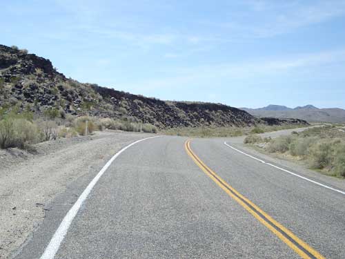
Once around the corner, the uphill is still subtle, but just a tiny bit steeper, so the riding gets a little slower. The scenery starts to change as the road slowly approaches some small mountains to my left.
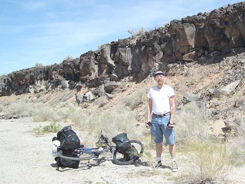
I stop at a wash by the edge of the lava flow just off Kelbaker Road for a Kodak moment
I make a point of watching for a couple of small roads that will be coming up on my left—one leads to Indian Springs and the other further on leads to the Rainy Day Mine area. On my earlier trips here, I sometimes didn't notice these two-tire-track roads when I passed them, even though they are marked on my maps.
I didn't manage to incorporate short side trips up either of those roads on my past visits, but I hope to one day. Perhaps later during this trip—who knows? I stop briefly at Indian Springs Road, thinking how I'd be tempted to ride up the three miles up to that area if I were at the end of my day.
Beyond Indian Springs Road, I get closer to the rocky lava flows on my left that come right up to the road. Once I get there, I pull into a secluded wash alongside the road to take photos and enjoy all the rocks.
The road keeps rising slowly as I enter another stage of the ride. No more neato lava flows alongside the road, and the views open up a bit more. Instead, I find myself focusing on the cinder cones off in the distance, which I still haven't visited.
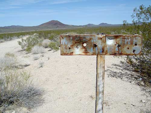
The sign for Aiken Mine Road is well-aged and barely visible
A distinctive feature of this stage of the ride up Kelbaker Road is that this is where I start to feel just a little tired. The mid-day sun is getting rather hot, and I'm guessing it must be in the mid-80s now.
I'm sweating more now and stop at the junction of Aiken Mine Road for a photo-and-water break—elevation 3200 feet. I'm happy to take off my helmet and put on my sweat band instead. My nose instantly notices that it is strongly perfumed with that horrible cherry scent that was in my motel room last night. Ugh—I sure hope that all my belongings haven't picked up this toilet-bowl-deodourizer smell. I guess I'll find out later.
Behind me, the narrower dirt road toward Jackass Canyon heads off into the distance. Jackass Canyon is another area that I'd like to explore, but I fear it might be too easy to go down and then too difficult to come back up. For now, I just photograph that road and contemplate possible future exploration.
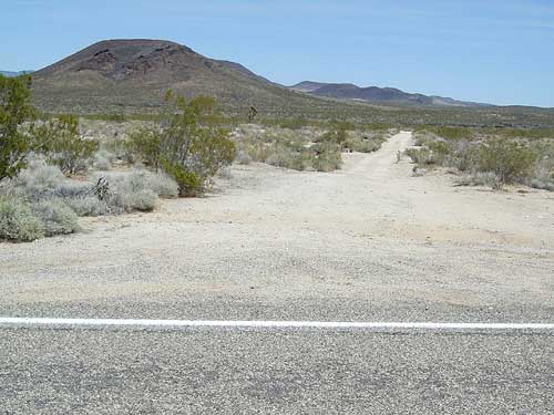
Aiken Mine Road heads north from Kelbaker Road toward the cinder cones; the road ends after about 20 miles at Cima Road
There has been hardly any traffic at all so far. However, several camper vehicles have passed me in both directions and waved at me. One camper gave me a thumbs-up out his window! This is such an uplifting experience and so different from bicycling in the San José area where there can be just enough anti-bicycle motorists to make things unpleasant at times.
Beyond Aiken Mine Road, stage three of the ride begins.