Home / Mojave Preserve and Desert bikepacking trips / 2007: Henry Coe State Park Mountain-Bike Camping / Day 4: Mississippi Lake to Jackrabbit Lake 30
Today's beautiful 13.8-mile ride is largely downhill or level (with numerous short uphills along the way): from Mississippi Lake at 2200 feet, down to 1080 feet on Orestimba Creek Road, then up to about 1300 feet at Jackrabbit Lake.
Highlights on this very hot day include spectacular views over the Orestimba Wilderness from above on County Line Road, and the idyllic, isolated feel of the Jackrabbit Lake area.

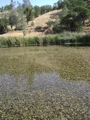 I walk down to Mississippi Lake to see what the birds are doing.
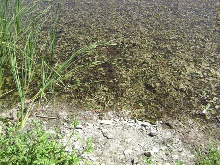 Close up of the plant life in Mississippi Lake.
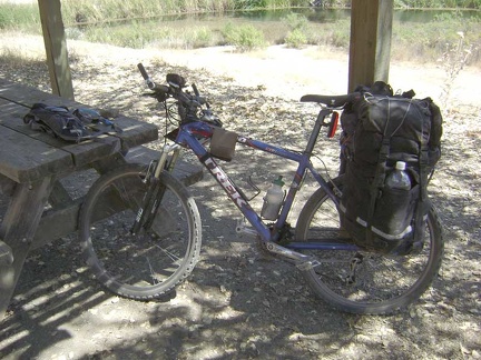 Ready, the 10-ton bike waits for its chauffeur to drive it to Jackrabbit Lake, on the other side of the Orestimba Wilderness.
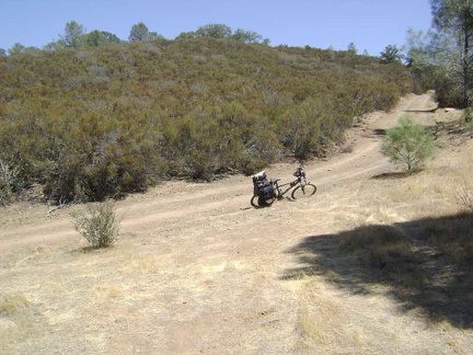 Rising up the end of Willow Ridge Road away from Mississippi Lake, to meet County Line Road on the ridge.
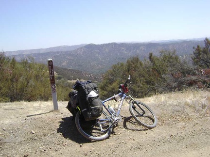 Great views across the Orestimba Creek valley from County Line Road at the junction of Hartman Trail
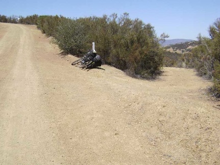 A little further down County Line Road, I reach the short dead-end trail to Board Spring (to the right).
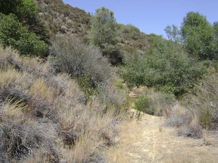 The trail to Board Spring starts out road-like, but it's rather grown-in as it approaches its end at the spring.
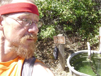 Ready to pump some water at Board Spring.
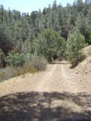 Back on County Line Road, still riding along the ridge, but descending slowly.
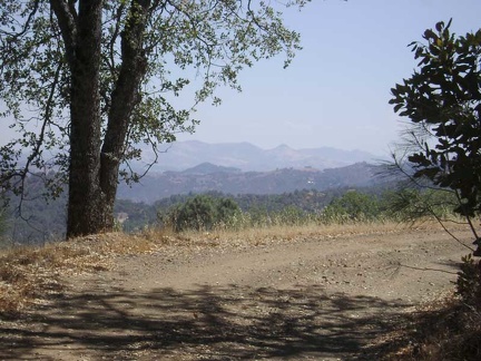 Still up on the ridge, County Line Road keeps providing great views of the valley.
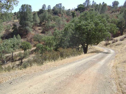 County Line Road turns east and starts snaking down the steep hillside to Orestimba Creek.
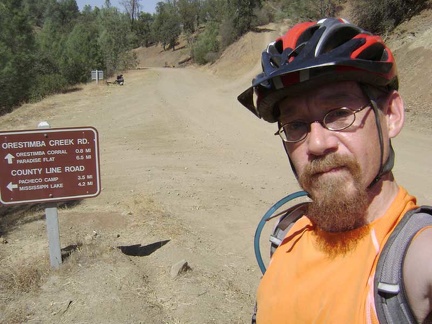 That was fun; I'm down in the valley now at Orestimba Creek and it only took 15 minutes to get down the hill.
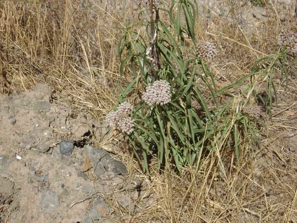 Milkweed growing along Orestimba Creek Road (asclepias fascicularis?).
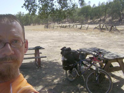 3/4 mile down the road, I stop at the old Orestimba Corral for a Clif-bar-and-water break at the semi-shady picnic tables.
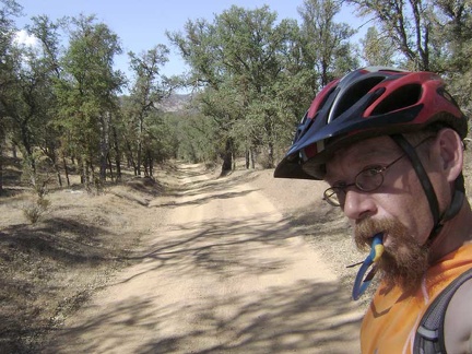 I continue riding down Orestimba Creek Road.
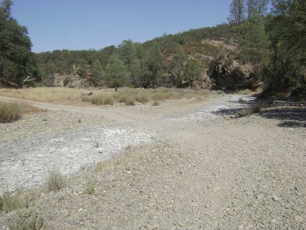 One of several dry creek crossings on Orestimba Creek Road.
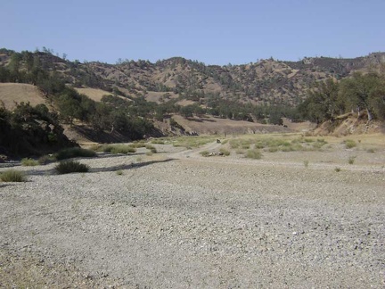 I stop on Orestimba Creek Road to check my map, thinking that I may have passed the road to Jackrabbit Lake.
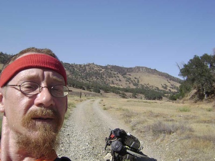 Before I remount the 10-ton bike and turn back, I snap a shot of us with the Rooster Comb in the background.
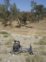 After backtracking 1/3 mile, I locate the Long Ridge Road that I missed, my route to Jackrabbit Lake
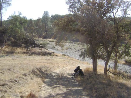 I hide in the shade of that oak at the bottom of Long Ridge Road, looking down at the gravel of Orestimba Creek Road.
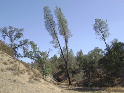 A two-prong grey pine on Orestimba Creek Road.
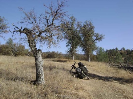 Stunted oak tree on lower Long Ridge Road.
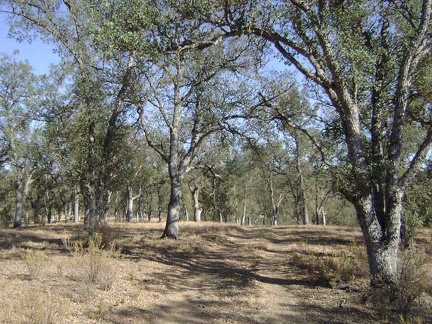 More oaks on lower Long Ridge Road.
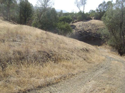 Rolling terrain on Long Ridge Road between Orestimba Creek and Jackrabbit Lake.
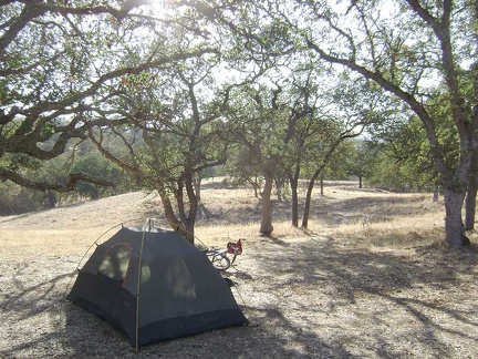 I set up camp just beyond Jackrabbit Lake.
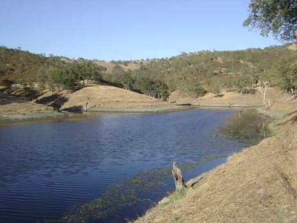 Walking down to Clark Spring, I pass pristine Jackrabbit Lake and take a closer look.
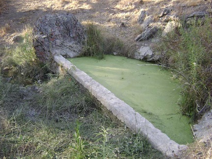 Clark Spring looks like a slice of key-lime pie. Is it stagnant?
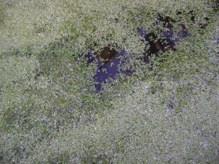 Clark Spring does not appear to be stagnant after all.
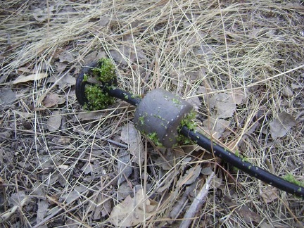 Gunk on my water filter intake tube from Clark Spring.
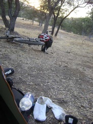 Back at the hot tent, the sun begins to set on my little plateau above Jackrabbit Lake.