Home / Mojave Preserve and Desert bikepacking trips / 2007: Henry Coe State Park Mountain-Bike Camping / Day 8: Ride from Pacheco Camp to China Hole 31
I've never explored the part of the Park on today's route, so I'm looking forward to it. My route is simple enough: just stay on Coit Road (which becomes Mahoney Meadows Road) and then head down China Hole Trail to the bottom.
I've studied my maps well (it's a useful activity that can be done at night in a tent) and know that there is a fair amount of uphill riding that I hope the 10-ton bike will agree to. Still, I might have to drag the bike up a few segments, not sure. Also, the singletrack downhill China Hole might have some steep edges that require extra care.

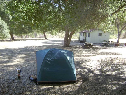 My second and last morning at Pacheco Camp.
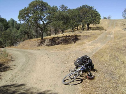 At the top of the first ridge on Coit Road (around 2400 feet), I note a spur road leading to a look-off that is not on my map.
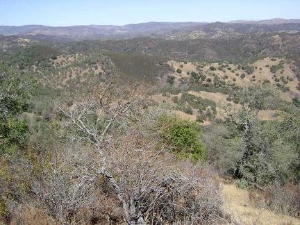 View from the look-off just off Coit Road.
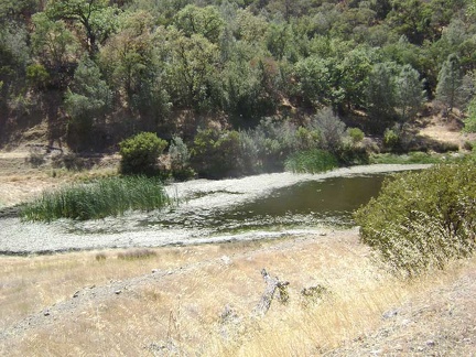 A fun short descent down the next hill on Coit Road passes the Fish and Game Pond at the bottom of the canyon.
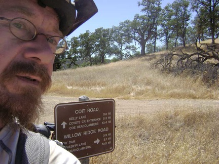 Coit Road crosses Willow Ridge Road on top of the next ridge at about 2250 feet.
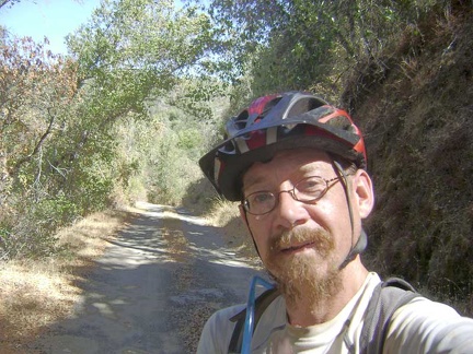 The 3/4 mile drop down into the canyon to Kelly Lake, 450 feet below, was fun.
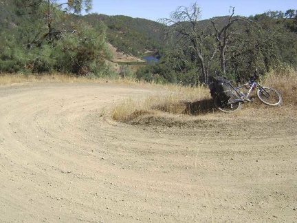 I stop on this switchback on the way up Coit Road from Kelly Lake to look back on my route.
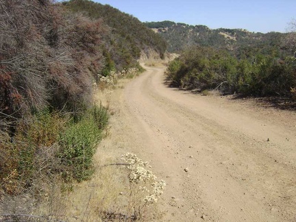 Higher up Coit Road heading toward the junction of Wasno Road.
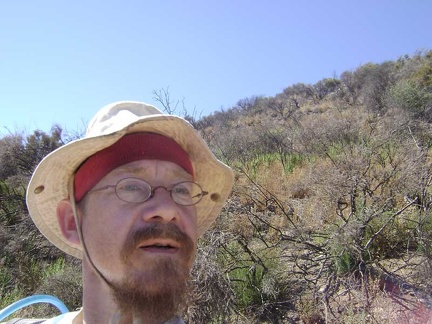 Regeneration of a previously burned area (perhaps a prescribed burn).
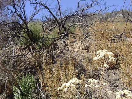 Dried flowers and burn.
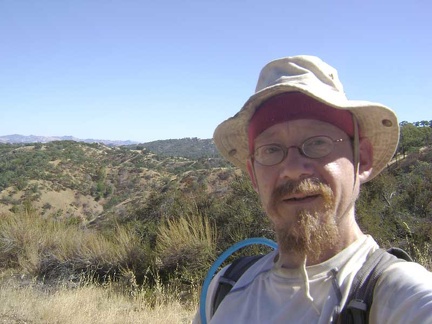 Standing on the road opposite the burned area, with a steep canyon, then Wasno Ridge, behind me.
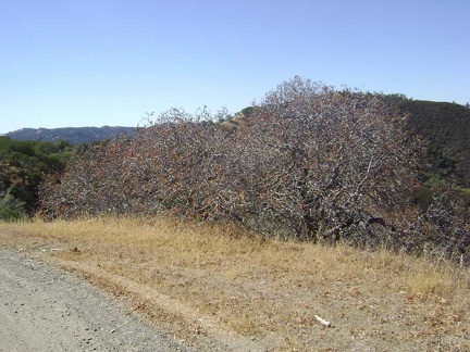 I walk a short distance up the road to check out a buckeye grove.
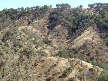 I ride up the road a little and stop again to look at the sculptural shadows of the trees on the next ridge (Wasno Ridge).
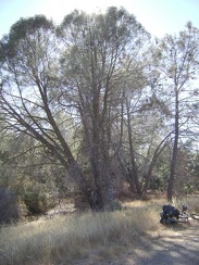 Pinus sabiniana (grey pines) along Coit Road heading toward Mahoney Ridge.
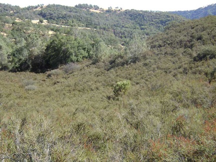 Adjacent to that stand of grey pines, a lone manzanita grows in a field of chamise.
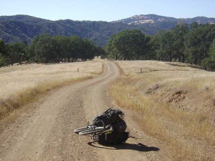 Coit Road descends toward the Mahoney Meadows area.
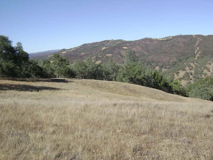 I pause along Mahoney Meadows Road to take in the view across the canyon to Willow Ridge on the other side.
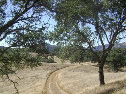 Mahoney Meadows Road continues its descent along the ridge through the meadow.
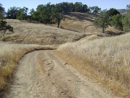 More picturesque rolling down Mahoney Meadows Road.
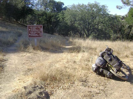 The beautiful ride down Mahoney Meadows comes to an end when I reach the intersection of the China Hole Trail.
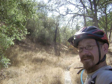 A shady area on the upper part of the China Hole Trail.
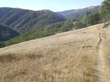 China Hole Trail pops out of the shady area and winds its way across an open meadow on the way down into the canyon.
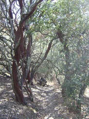 A few charming manzanitas further on down China Hole Trail.
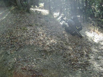 The lower part of the China Hole Trail includes a number of switchbacks.
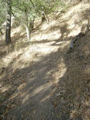 Another switchback on the lower part of China Hole Trail.
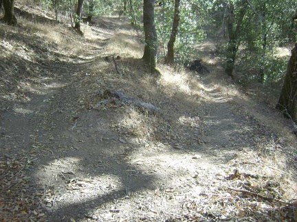 A better view of that switchback in the previous photo.
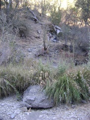 The 10-ton bike waits a few feet above the rocky bottom of China Hole Trail while I look for a campsite.
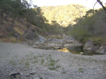 China Hole at sunset, looking northeast toward The Narrows.
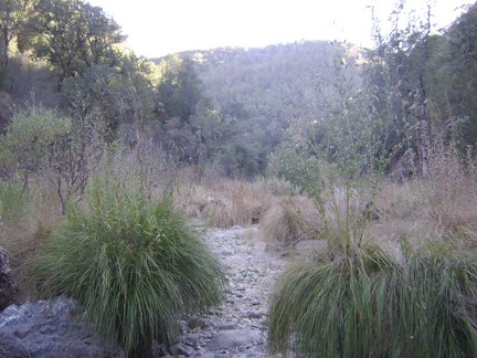 Big grasses in the dry creek bed at China Hole, looking southwest down the canyon.
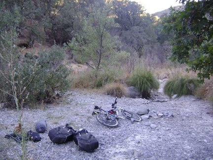 After choosing a location for the tent, I bring the bike the rest of the way down to China Hole.
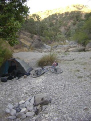 Time to call it a day. The tent is set up at China Hole (looking northeast up the canyon).