Home 7119

 Looking straight down from the saddle, instead of toward Kelso Dunes, reveals a rather steep drop
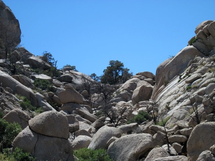 I passed the south end of Eagle Rocks while hiking to Chicken Water Spring last year, but didn't have time to explore the rocks
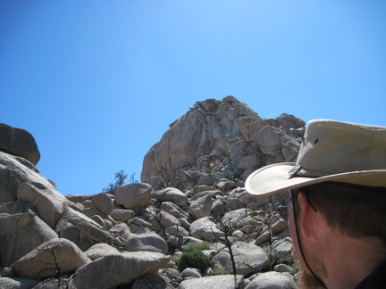 The big rock outcrop ahead at the top looks insurmountable to non-rock-climbers, but I'll continue upward to see how close I get
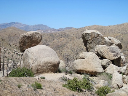 I turn around to take in the views northeast, toward Mid Hills campground on the first ridge, between a couple of rock piles
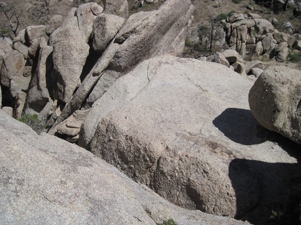
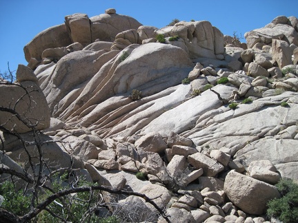 I climb up the eroded rock in the upper area of the Eagle Rocks, Mojave National Preserve
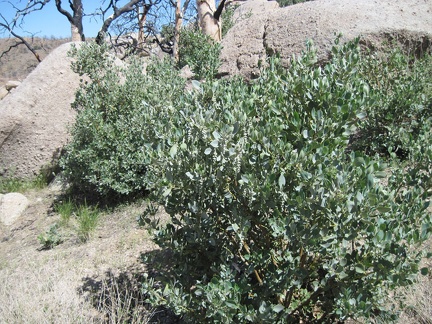 Manzanitas, which are not usually a desert plant, grow here and there in the Eagle Rocks area
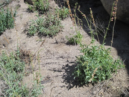 Also in the Eagle Rocks area are occasional patches of Palmer's penstemon
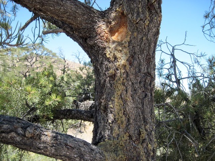 An elderly pinon pine near my tent at Mid Hills campground drools sticky and waxy
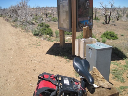 I ride down to the entrance kiosk of Mid Hills campground to sign up for an extra night of camping and deposit my fees
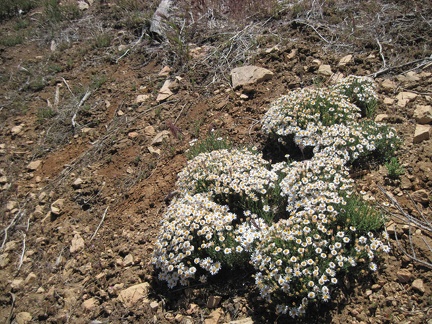 I start the short hike from Mid Hills campground over to Eagle Rocks and pass these diminutive flowers near the campground road
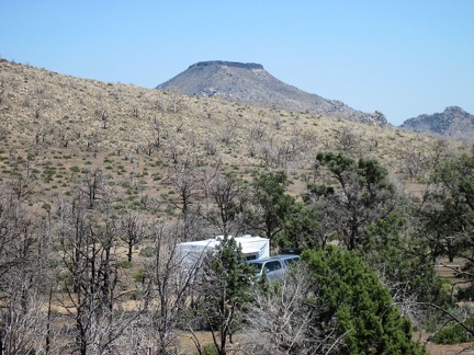 Except for this campsite, Mid Hills campground is almost empty this morning, which is surprising for a Saturday morning
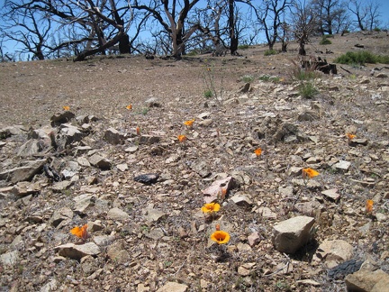 A few mariposa lilies bloom in a rocky area at Mid Hills campground
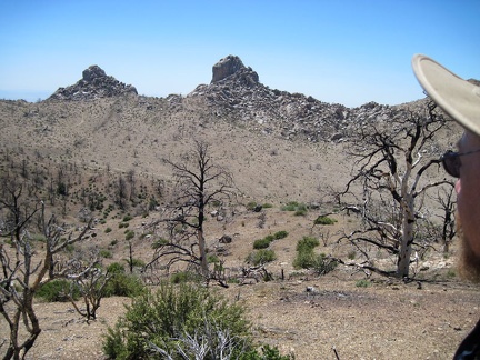 Reaching the turrets of Eagle Rocks from Mid Hills campground requires climbing down into an intervening wide canyon
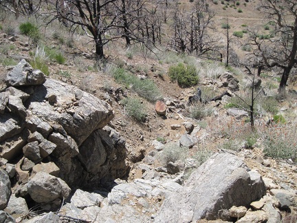 I choose to follow a drainage downward into the canyon below Eagle Rocks
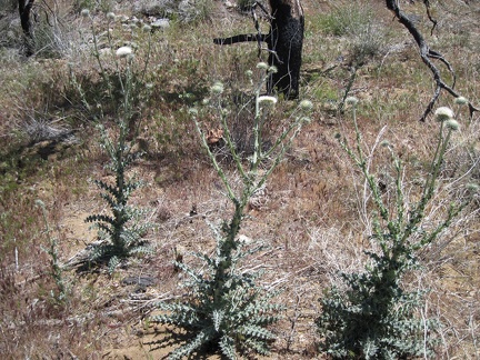 I pass a patch of white thistles on the way down to the canyon below Eagle Rocks
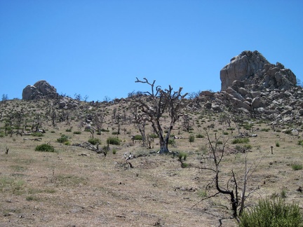 After crossing the canyon, I climb up the hill toward the Eagle Rocks turrets
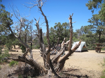 One of several juniper trees around my campsite at Mid Hills campground that has been chopped down by campers for firewood
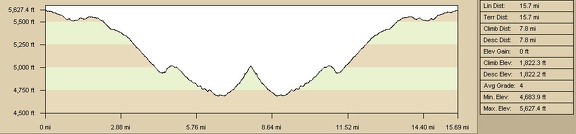 Bicycle route elevation profile from Mid Hills campground to Blue Jay Mine via Wild Horse Canyon Road, Mojave National Preserve
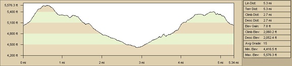 Elevation profile of hiking route in upper forks of Beecher Canyon from Blue Jay Mine
 Hiking route in upper forks of Beecher Canyon from Blue Jay Mine
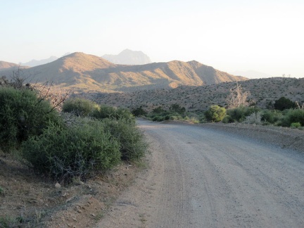 As I climb Wild Horse Canyon Road, I pause to look back toward the glowing hills around Macedonia Canyon
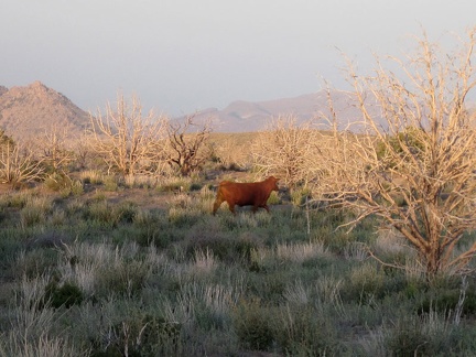 A lone cow darts off into the sunset when he sees me near Wild Horse Canyon Road
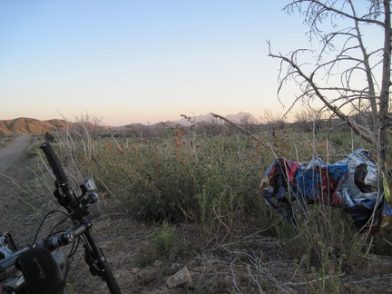 I pull over along Wild Horse Canyon Road to collect a stray balloon for later disposal
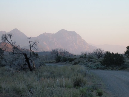 Behind me as I climb Wild Horse Canyon Road is a dramatic view of the peaks of the Providence Mountains
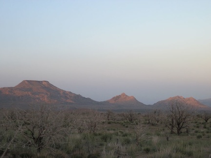 On the upper stretches of Wild Horse Canyon Road, one can see across Gold Valley to Table Mountain and Twin Buttes
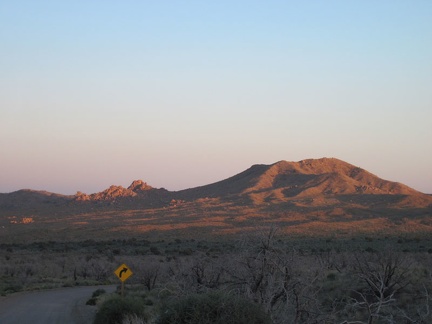 I approach Mid Hills campground on Wild Horse Canyon Road at sunset
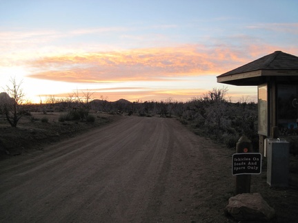 Just before 20h, I pass by the Mid Hills campground entrance kiosk and ride the final 0.6 miles to my campsite
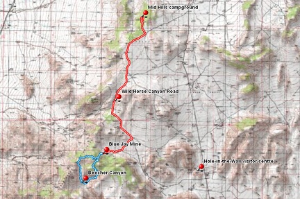 Bicycle route (in red) from Mid Hills campground to Blue Jay Mine via Wild Horse Canyon Road, Mojave National Preserve
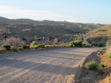 The ride up the final six miles back to Mid Hills campground goes really well
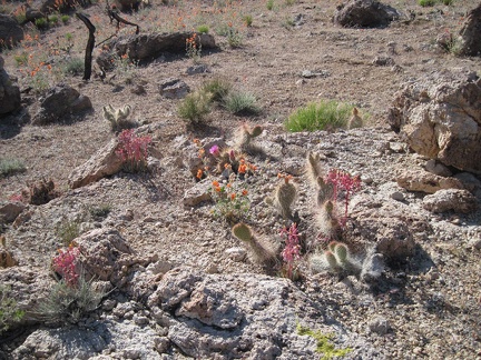 On a fleeting rocky plateau above Beecher Canyon blooms a small garden
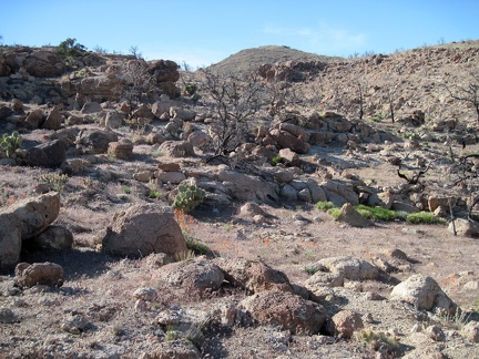 Lots of rock on this plateau above Beecher Canyon
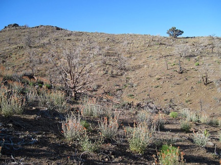 I consult my GPS and find that the next step in getting back to my bicycle is to climb over the ridglet ahead
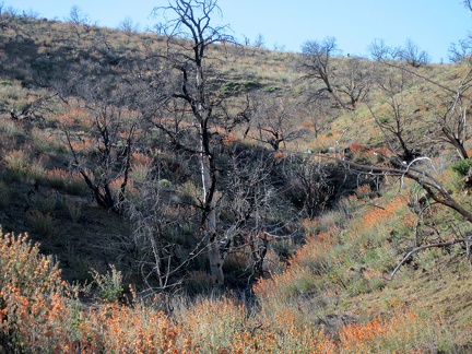 I pass through another field of orange desert mallow flowers on the way over the ridge back to the Blue Jay Mine area
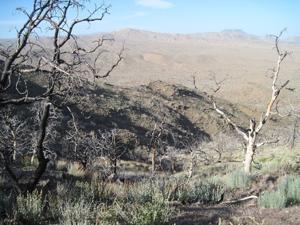 I've crossed the ridge; Blue Jay Mine and my bicycle are down below
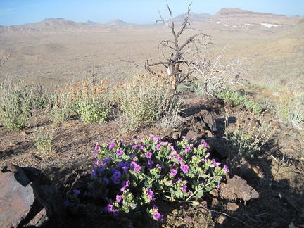 I pass some purple desert four o'clock flowers and more orange desert mallows on the way down to Blue Jay Mine and my bicycle
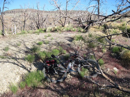 I return to my bicycle by Blue Jay Mine after the hike in Beecher Canyon
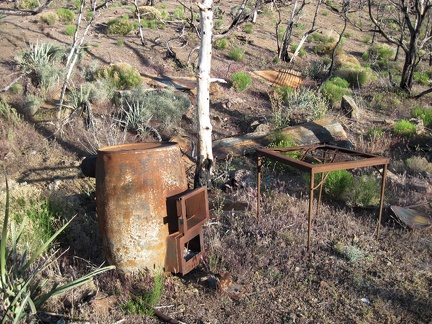 Near Blue Jay Mine are a few ruins of the former Winkler's Cabin that burned during the 2005 brush fires
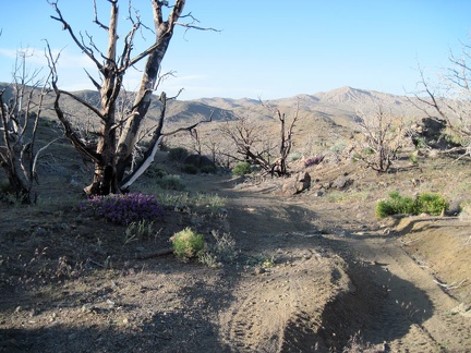 Blue Jay Mine Road is slightly downhill during most of its 1.7 miles back to Wild Horse Canyon Road
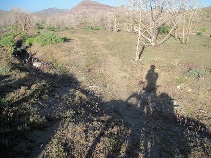 At the bottom of Blue Jay Mine Road, near Wild Horse Canyon Road, the road is almost flat
 A few desert four o'clocks bloom near the junction of Wild Horse Canyon Road and the road to Blue Jay Mine
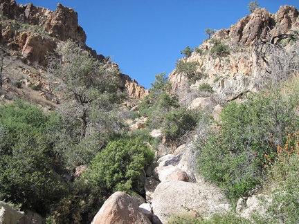 I'm getting close to the top of Beecher Canyon, check my maps, and decide that it's time to turn left (north)
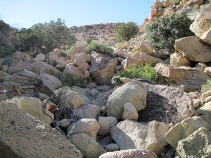 Just a few more boulder piles to climb before I'm completely up out of Beecher Canyon
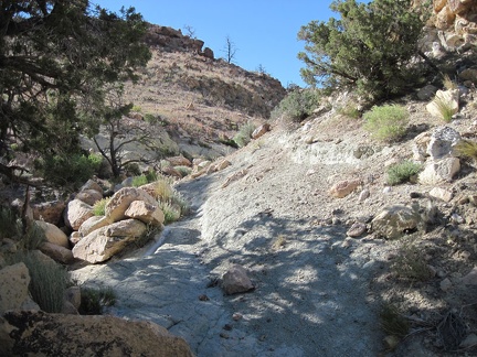 Near the top of the hill above Beecher Canyon I pass by a few junipers growing in limestone-like soil
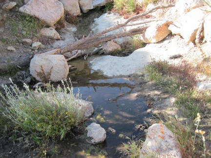 Just when I least expect it, I pass a small pool of water here way above Beecher Canyon
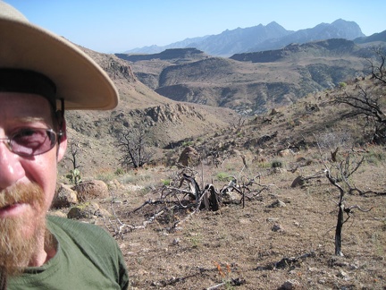 Now up out of Beecher Canyon, views across the contorted landscape to the distant Providence Mountains peaks unfold behind me
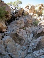 This dry waterfall in the east fork of Beecher Canyon is steeper than it looked from a distance
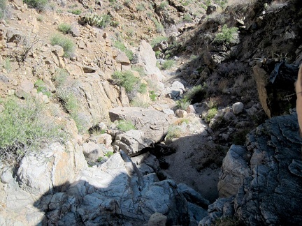 I take a short break after climbing the dry waterfall in Beecher Canyon and look back down at my progress
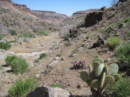 When I reach the junction of the north and east forks of Beecher Canyon, I turn left and start walking up the east fork
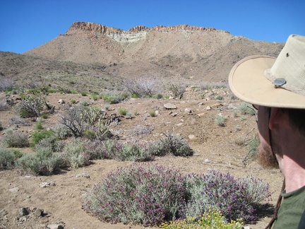 As I begin my way up the east fork of Beecher Canyon, I take note of a steep bluff that I circumvented on my way down
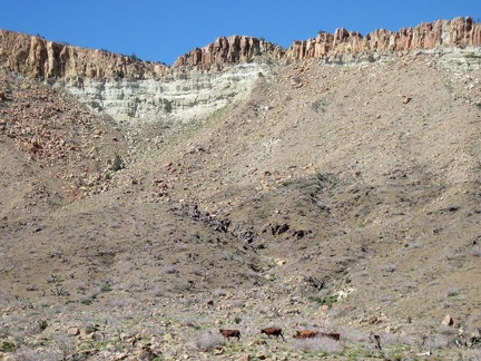 I hear some noise while starting up the east fork of Beecher Canyon and notice a herd of cows in the distance, scurrying away
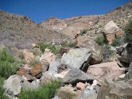 Many large rocks are strewn about in the east fork of Beecher Canyon
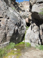 To my surprise, I arrive at a small spring and pool of water in the east fork of Beecher Canyon
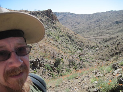 Climbing up the steep hillside to get around the spring in Beecher Canyon is challenging but I eventually find myself above it
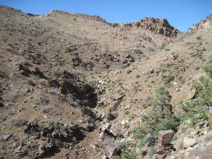 It looks like the climb up the east fork of Beecher Canyon above the spring might be relatively obstruction-free
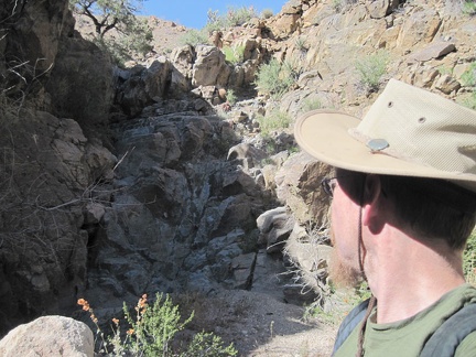 More rock ahead in the east fork of Beecher Canyon...
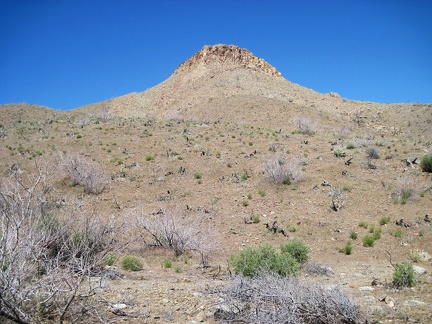 As I walk down into Beecher Canyon, I look up at the hilltops above
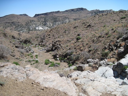 On the way down into Beecher Canyon I find myself approaching a steep rocky drop-off
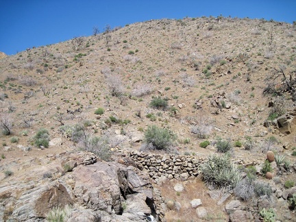 At the drop-off into Beecher Canyon, I spot a historic stack of rocks that once shored up a bypass road around the drop-off
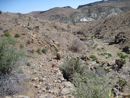 I walk down into Beecher Canyon on what's left of the old raised road that someone carefully constructed perhaps a century ago
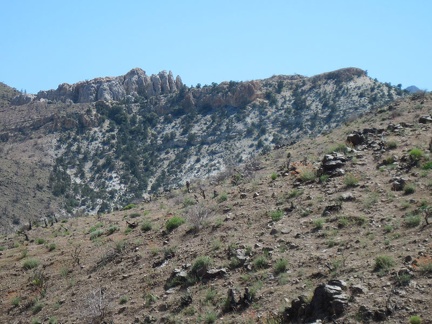 Once down in Beecher Canyon, I look up at distant rock formations in the Providence Mountains in the area around Summit Spring
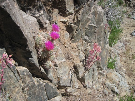 Pink cactus flowers and desert dudleya blooms push out of rocks in Beecher Canyon
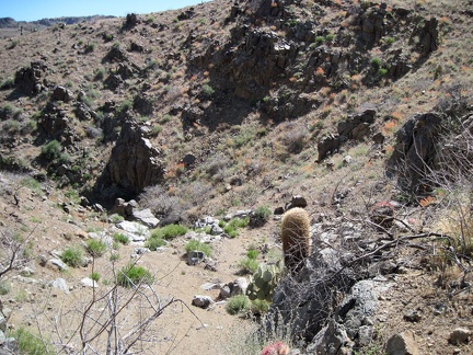 Patches of orange desert mallow flowers abound as I drop down into Beecher Canyon
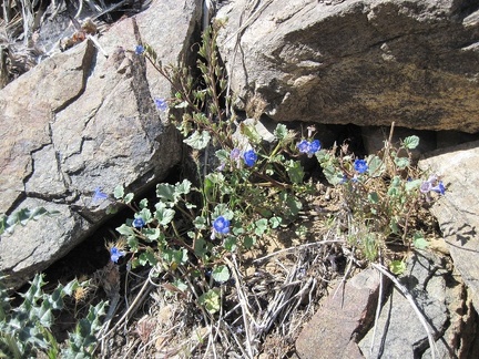 Also still blooming in the lower north fork of Beecher Canyon are a few phacelias
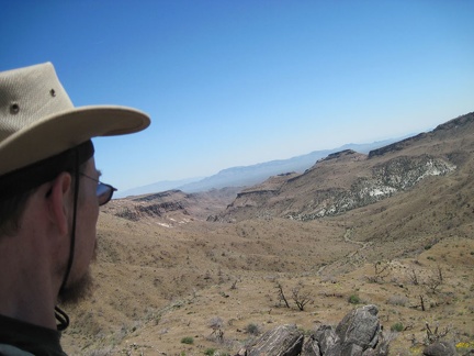 I decide to head down the wash to Beecher Canyon
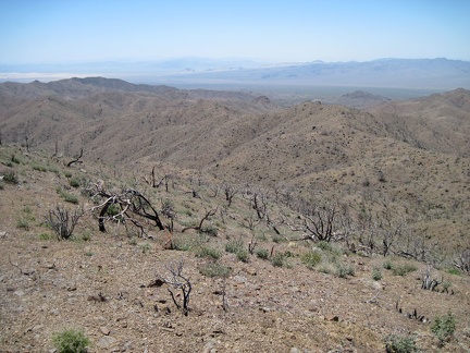 From my privileged position on Hill 1713, I take a short break to enjoy the vistas on all sides; this view looks southwest
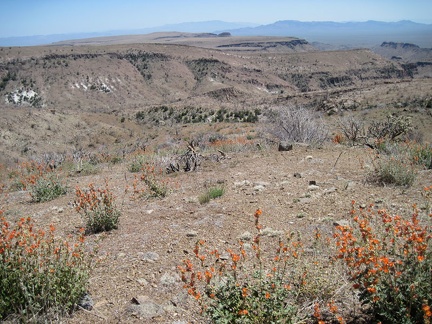 Southeast from Hill 1713 in the Providence Mountains are great views across nearby Wild Horse Mesa and the Beecher Canyon area
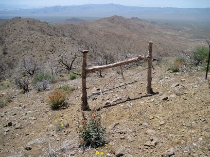 I decide to hike along the ridge toward nearby Hill 1625 in the Providence Mountains and cross through an old ranch fence
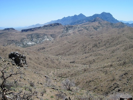 From Hill 1625 in the Providence Mountains I look down a wash that leads into Beecher Canyon
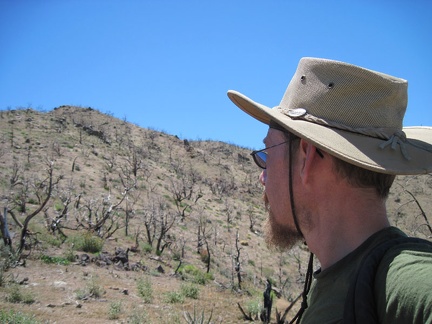 I climb up the hill above Blue Jay Mine toward Hill 1713 at 5575 feet elevation
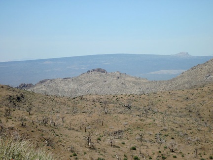 I enjoy the views across Kelso Valley to Cima Dome as I get closer to Hill 1713 in the Providence Mountains
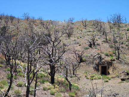 At the end of the road, I lock my bike in a ditch, then start hiking up the hill above the Blue Jay Mine tunnel
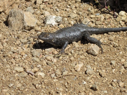 A lizard greets me as I step out of my tent for a short walk after breakfast at Mid Hills campground
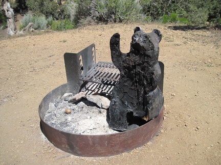 Two campsites away in the near-empty Mid Hills campground is a cute and cuddly wooden bear at the fire pit, a tad burnt
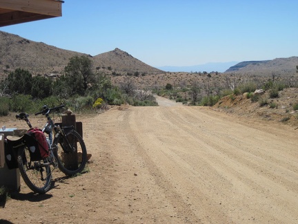 I pack up my bike and ride out of Mid Hills campground on my way to Blue Jay Mine, from where I'll hike into Beecher Canyon
 Wild Horse Canyon Road is always so scenic as it rolls gently downward toward the Providence Mountains
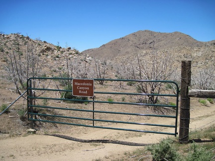 As I pass Macedonia Canyon Road, I notice that it has a nice new gate and is signed now, with a rather large sign
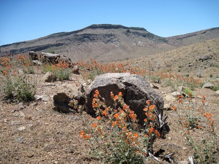 I pass a field of orange desert mallow flowers on lower Wild Horse Canyon Road
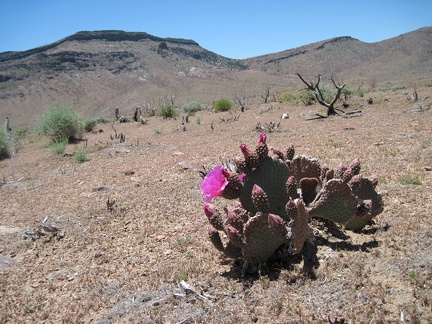 I see my first pink cactus bloom of the day, with Wild Horse Mesa in the background
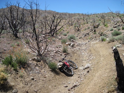 The 1.5-mile-long road to Blue Jay Mine rapidly deteriorates, but makes for a fun ride on a mountain bike
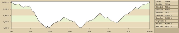 Mountain-bike route elevation profile across Gold Valley, Mojave National Preserve, from Mid Hills campground to Woods Wash
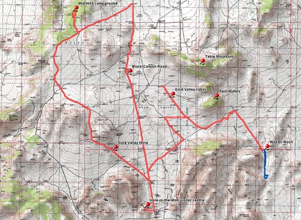 Mountain-bike route across Gold Valley, Mojave National Preserve, from Mid Hills campground to Woods Wash
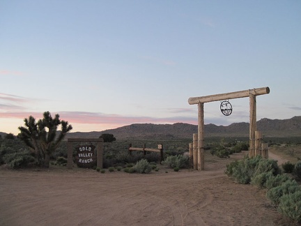 At sunset on Black Canyon Road, I pass the Gold Valley Ranch
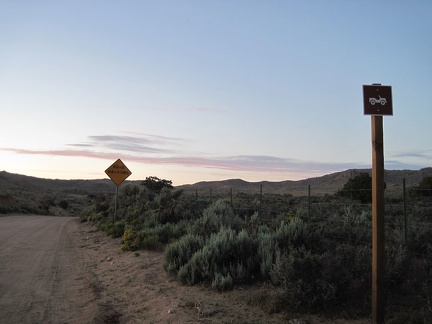 Just north of Gold Valley Ranch, Black Canyon Road is signed as a four-wheel drive road
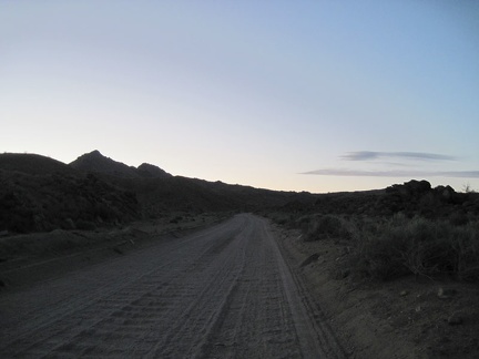 Bumpy, bumpy, slowly uphill pedaling on the upper part of Black Canyon Road
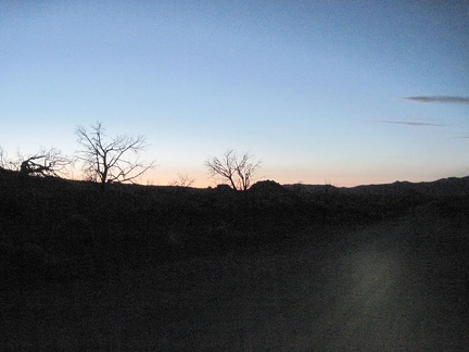 My headlight goes on as Black Canyon Road turns black
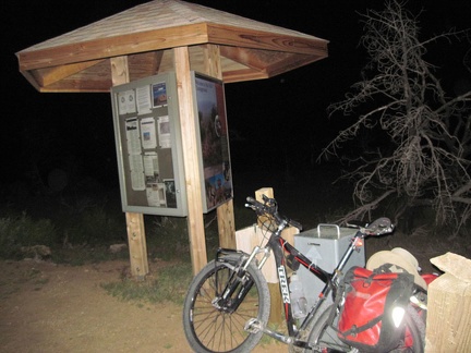 After the four short hills on Wild Horse Canyon Road, I reach the entrance kiosk at Mid Hills campground
 I look back regularly while climbing Black Canyon Road to take in the purple haze in the warmer areas south of Mojave Preserve
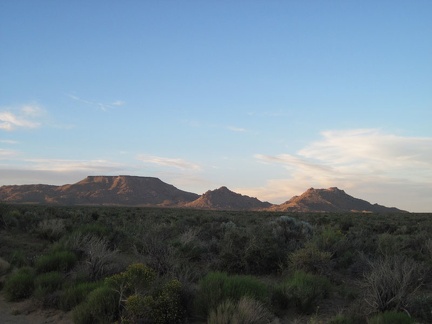 Table Mountain and Twin Buttes take on a postcard-photo aura as I ride slowly up Black Canyon Road
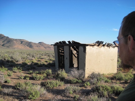 I take one last look at the Gold Valley cabin, with the Woods Mountains in the background
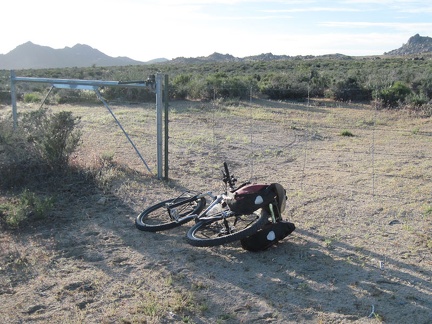 A half mile further up this unnamed Gold Valley road, I encounter a fence (or is it a locked gate?)
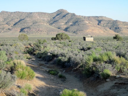 I ride back down the 1.3 miles of this road in Gold Valley, passing the cabin again on the way
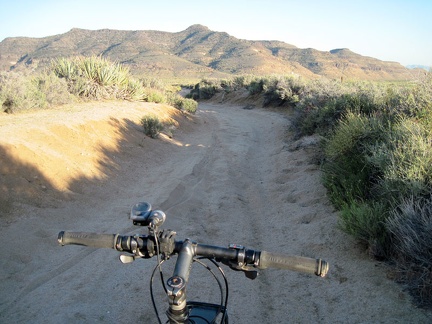 The sandy part of this road is hard to ride, even in the downhill direction!
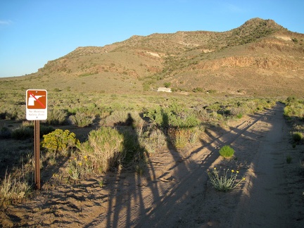 Back on Woods Wash Road and approaching the government-owned residence, I notice a "No-hunting zone" sign
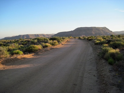 Back on "the good part" of Woods Wash Road, the final 1.5 miles to Black Canyon Road rides smoothly
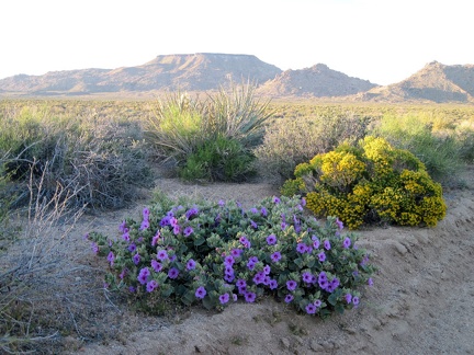 Pink Desert four o'clock flowers and the yellow blooms of Snakeweed(?) pick up the sunset glow nicely
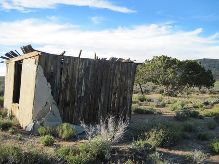 The stucco exterior on the south exterior wall of the Gold Valley cabin is peeling off
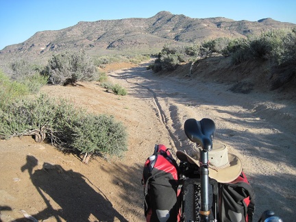 The shortcut road enters a sandy area, which I eventually forces me to dismount and walk the bike a bit
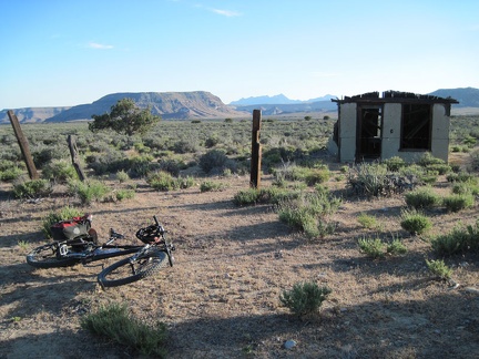 The road pops out of the sandy wash briefly, and I arrive at the remains of an old cabin in Gold Valley
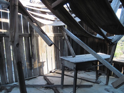 I peek inside the one-room Gold Valley cabin
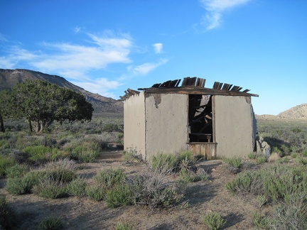 The rear (west side) of the Gold Valley cabin has a window
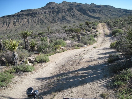 As the road rolls over the hills, I'm sometimes looking straight at the Woods Mountains
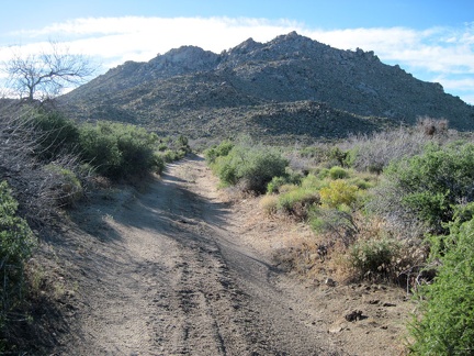 At other moments, the road heads straight toward the Twin Buttes
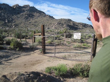 After passing the southern tip of Twin Buttes, I open and close the old gate again
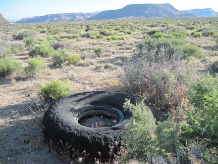 With Wild Horse Mesa in the backgound, I spot an oversized and eroded old tire along Woods Wash Road
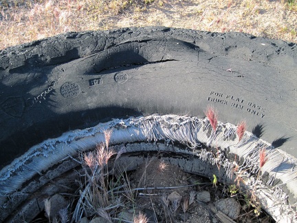 "For flat base truck rim only"
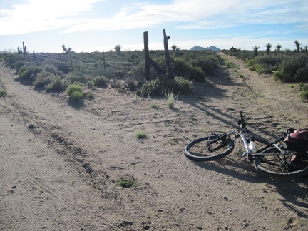 I decide to try a possible shortcut road that veers north (the right fork) off Woods Wash Road
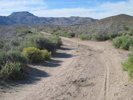 As the road rises slowly out of Woods Wash, it heads toward Table Mountain for a while, then turns left (west)
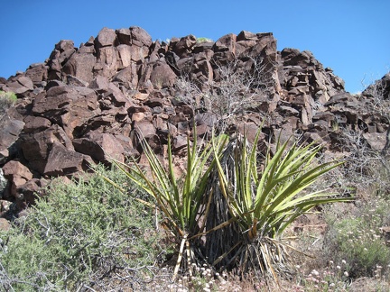 Yuccas in Woods Wash near the exposed rock
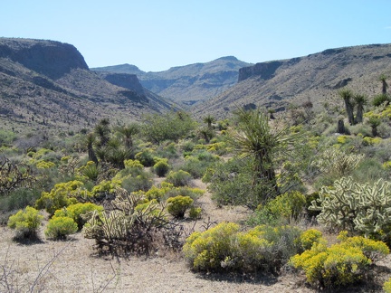 I climb down the hill for the hike back up Woods Wash (to my right), but the canyon ahead into the Woods Mtns gets my attention
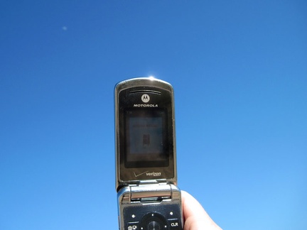 As I hike back up Woods Wash to my bicycle, I try my cell phone, and it works
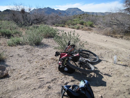 Back at Woods Wash Road, my backpack goes back into my saddlebags and I start the ride back to Mid Hills campground
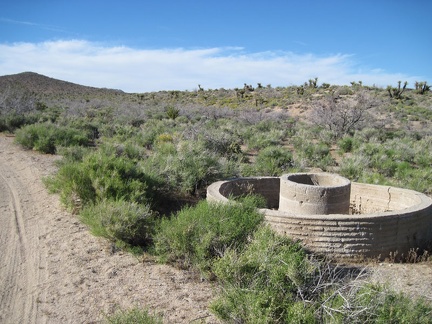 Abandoned cistern in Woods Wash
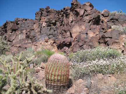 Barrel cactus, cholla cactus, and white buckwheat blossoms in Woods Wash
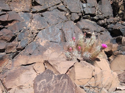 I walk across to the other side of Woods Wash and note some pink cactus blooms
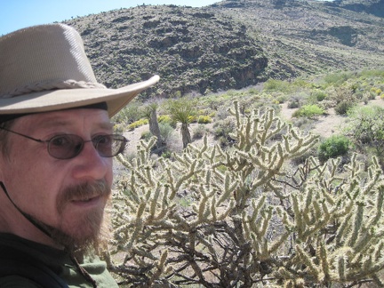 It's even hotter on this hill than it was on the hill behind me on the other side of Woods Wash
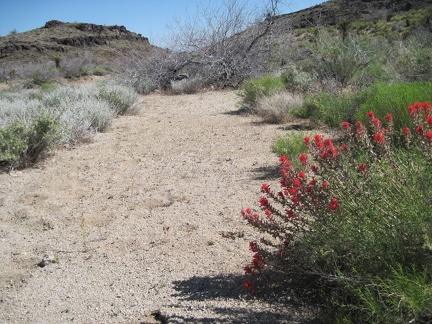 Indian paintbrush blooming in Woods Wash
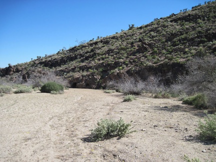 I reach the lava flows of the historic Woods Wash area
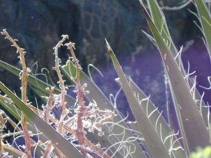 Yucca spines
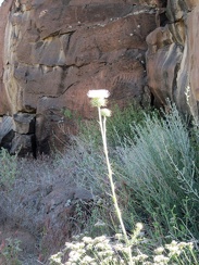 White thistle growing in Woods Wash
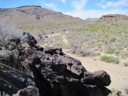 I climb a hill and get a glimpse of Woods Wash northward toward Twin Buttes
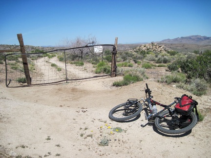 Ah, a gate to pass through!
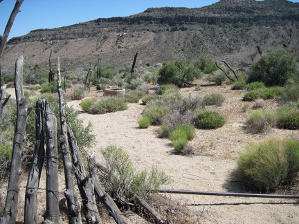 I pass an abandoned corral, with the Woods Mountains in the background
 Another fence boundary to pass through as I ride down to Woods Wash
 The last couple of miles toward Woods Wash are a bit sandy in places, but rough enough to provide traction for a mountain bike
 I arrive at the Woods Wash Wilderness boundary, stash my bicycle behind a bush and convert from biker to hiker
 After 1.5 miles on Woods Wash Road is government property, probably a residence for Preserve staff
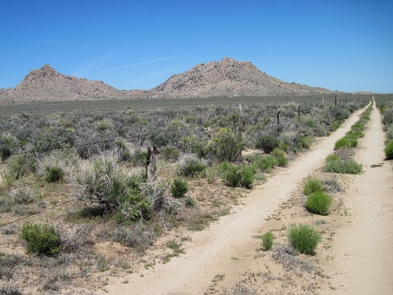 Woods Wash Road makes a two-mile U-shaped detour around the government property
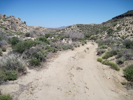 East of the government-owned house, Woods Wash Road passes through gentle hills
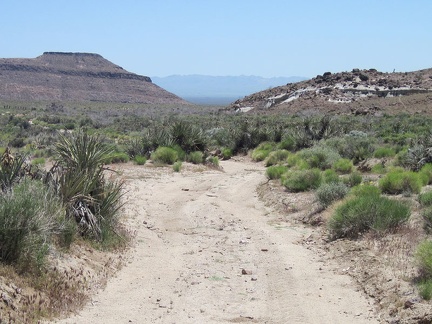 I drop another 400 feet of elevation as I ride down the bottom of Gold Valley Mine Road
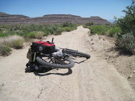 The lower part of Gold Valley Mine Road passes through a sandy area
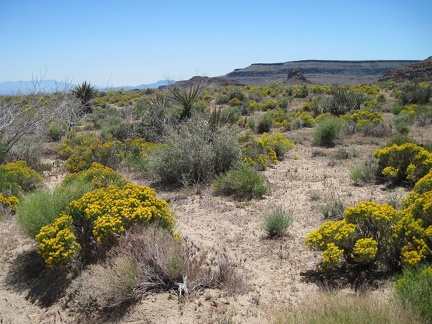 Lots of bright yellow flowers near the lower part of Gold Valley Mine Road
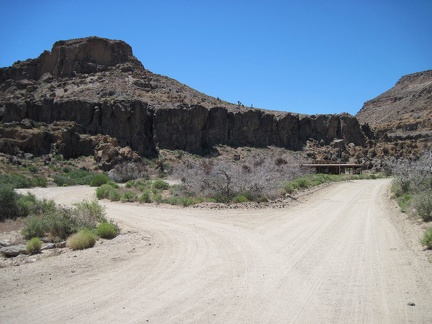 I take a detour and visit the Hole-in-the-Wall Visitor Centre to refill my water bottles from its outdoor tap
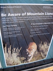 A poster at Hole-in-the-Wall visitor centre warns of possible mountain lions in the Mid Hills area, where I'm camping
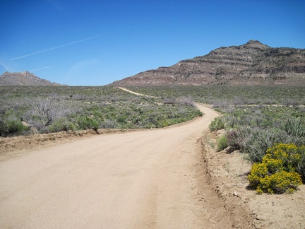 After my break at Hole-in-the-Wall, I make my way over to the dirt road that will take me to Woods Wash after 7 miles or so
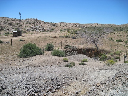 I stand on a small tailings pile at Gold Valley Mine and look down at an old pit
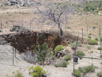 Close-up of the pit at Gold Valley Mine, Mojave National Preserve
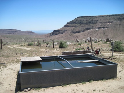 A full water trough at Gold Valley Mine
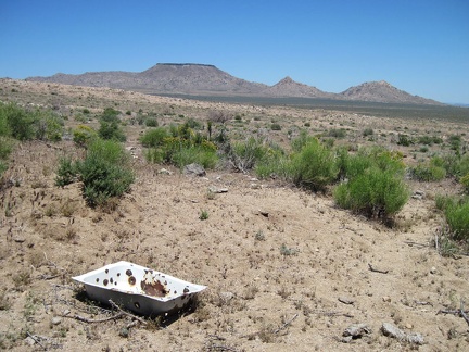 An old sink (pierced by bullets, of course) at Gold Valley Mine, Mojave National Preserve
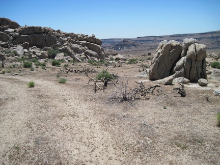 The scenic views, hills and rock piles on upper Gold Valley Mine Road would make it a good place to camp
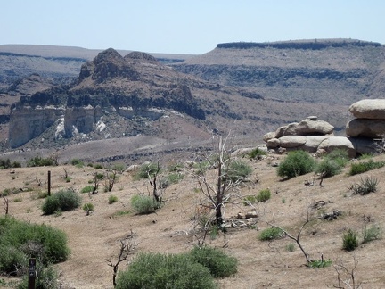 Views toward Wild Horse Mesa on the way down Gold Valley Mine Road
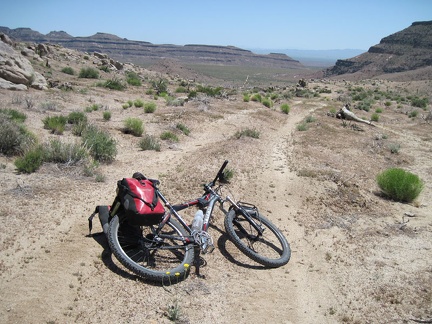 I whoosh down Gold Valley Mine Road, toward Gold Valley itself
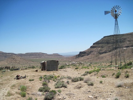 I reach the old Gold Valley Mine site and stop for a tourist break
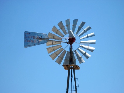 The windmill at the Gold Valley Mine site is from the American West Windmill Company in Amarillo, Texas
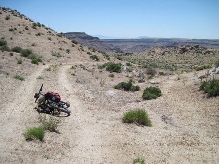 After a short climb to a crest at about 5440 feet elevation, Gold Valley Mine Road begins heading downhill
 I pass through an old ranch fence and a sign marking the adjacent hiking trail
 A quarter mile down the road from my campsite at Mid Hills campground, I turn right on Wild Horse Canyon Road
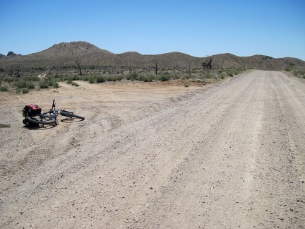 About two miles down Wild Horse Canyon Road, I reach my next turn, an unnamed road that I'll call Gold Valley Mine Road
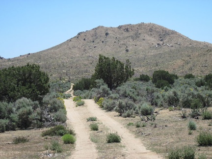 Gold Valley Mine Road passes briefly through a patch of juniper and sagebrush that escaped the 2005 brush fires
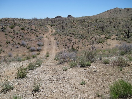 Gold Valley Mine Road rolls over a series of natural drainages as it climbs gently up the hill
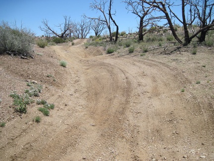 I ride up a few unevenly banked segments on Gold Valley Road
 I reach a crest on Gold Valley Mine Road and try my cell phone: it works!
 After sleeping in a bit, and eating breakfast, I pack up and leave the tent for today's ride across Gold Valley to Woods Wash
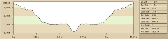 Pinto Mountain bike route elevation profile from Mid Hills campground (Day 4)
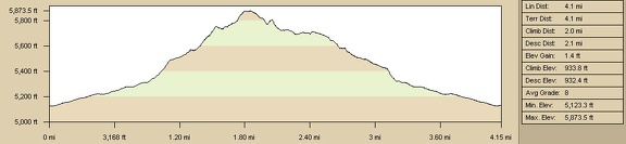 Pinto Mountain hike route elevation profile from Cedar Canyon Road area (Day 4)
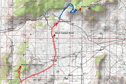 Pinto Mountain bike and hike route from Mid Hills campground (Day 4)
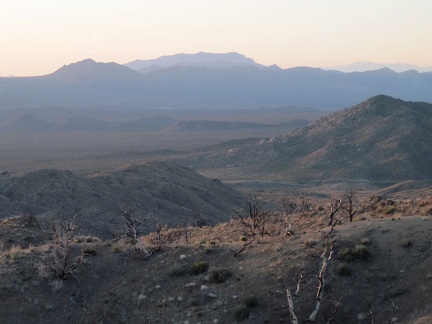 To the north are excellent views down to Cedar Canyon Road, which I rode up yesterday, and far beyond
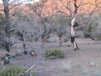 I saunter back to my tent past a vacant campsite at Mid Hills campground and wind down for the evening
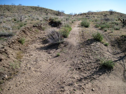 The shortcut road up to Black Canyon Road is a good ride (without a heavy load), about 3/4 mile long
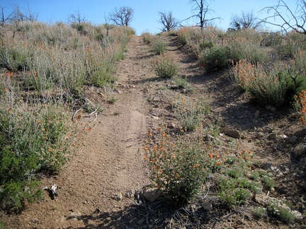 The shortcut road rises up through a patch of desert mallow flowers just before it reaches the Round Valley plateau
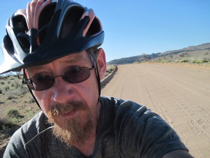 I ride two miles on Black Canyon Road on the way back to Mid Hills campground, Mojave National Preserve
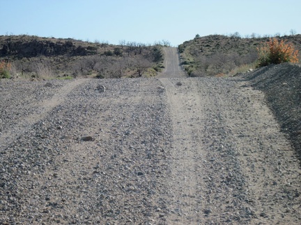 The two miles and four hills up Wild Horse Canyon Road are much easier than last night when I was carrying a full load
 Happy insects of some kind have made webs in a bush along Wild Horse Canyon Road
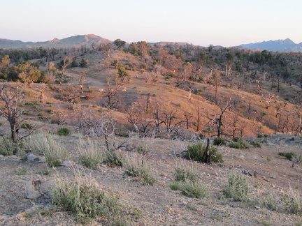 When sunset approaches, I walk up a hill near my site at Mid Hills campground to take in the views
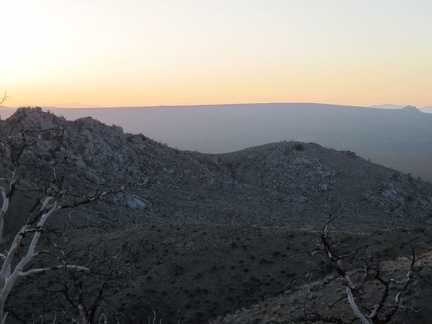 Awesome sunset view from Mid Hills campground over to the subtle slope of Cima Dome
 I walk back down Cedar Wash toward the road where I left my bicycle
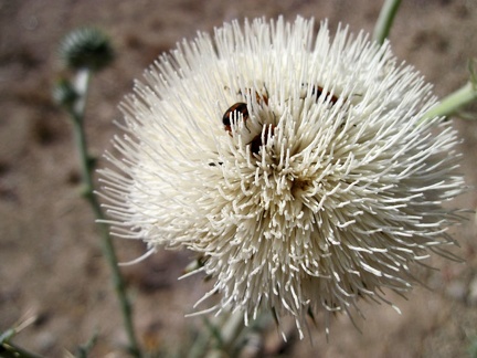 A few bugs enjoy this white thistle flower in Cedar Wash, Mojave National Preserve
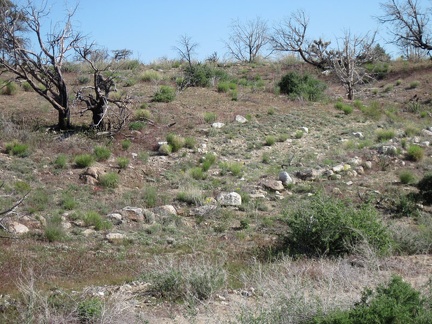 I reach the old closed road leading out of Cedar Wash, marked by rocks that were perhaps placed there 100 years ago
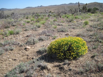 Along the old road into Cedar Wash grow a few of these bright-green plants
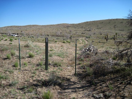 I cross the Wilderness boundary (no mechanized travel allowed on this side of it) and turn left to fetch my bicycle nearby
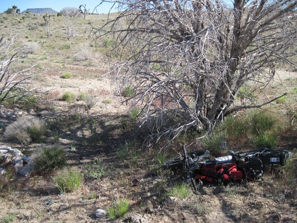 I reach the trees off the old Mojave Road under which I stashed my bicycle, and voilà, it's still there
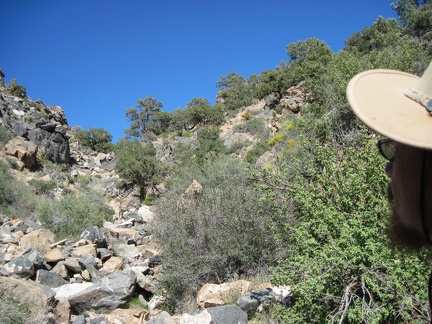 It doesn't take long to reach the bottom of the rock pile where it spills out onto the edge of Cedar Wash
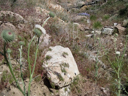 A bit lower down Pinto Mountain, under a canopy of burned trees, are a few flowers here and there
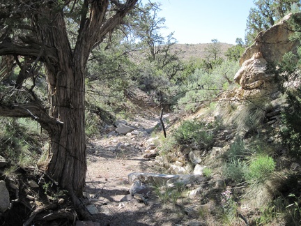 I follow a different mini-canyon on the lower part of the return to Cedar Wash and pass under the remains of an old fence
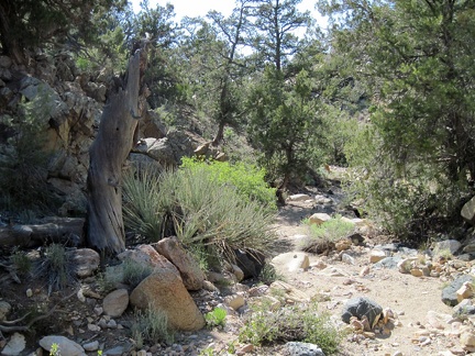 The dappled shade cast by old pinon pines and junipers makes for a nice walk down this little wash north of Pinto Mountain
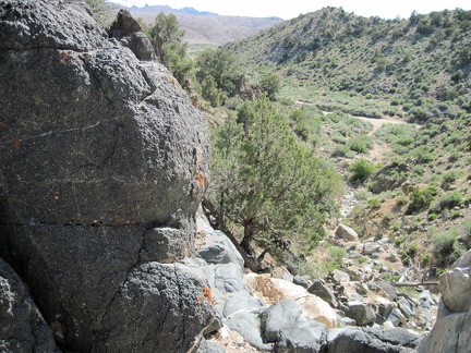 The mini-canyon arrives at a steep drop-off just before reaching Cedar Wash
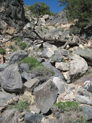 Partway down the rock pile leading to Cedar Wash, I turn back to look up at my descent route
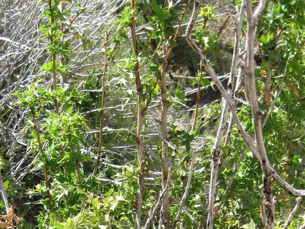 Close-up of the barberry bush on the north side of Pinto Mountain
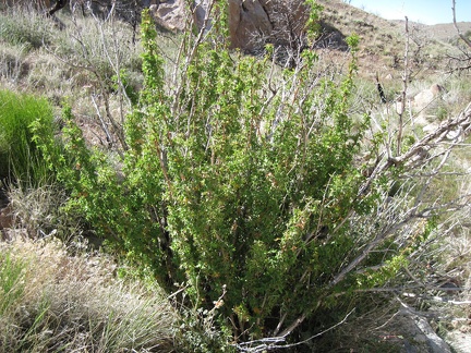 I stumble upon what I think is a barberry (berberis) bush on the way down the north side of Pinto Mountain
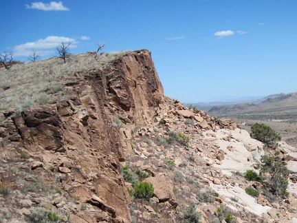 Great views eastward from the west end of Pinto Mountain
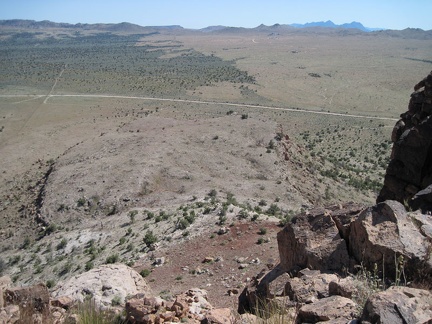 From Pinto Mountain, I can see the jagged edges of the Providence Mountains in the distant blue
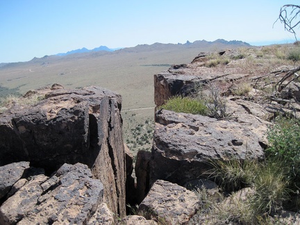 Another great view across Round Valley from Pinto Mountain through a slot in the rocks
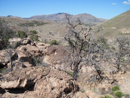 After an hour on Pinto Mountain, I start my way back down to the valley on the easy north side through a boulder patch
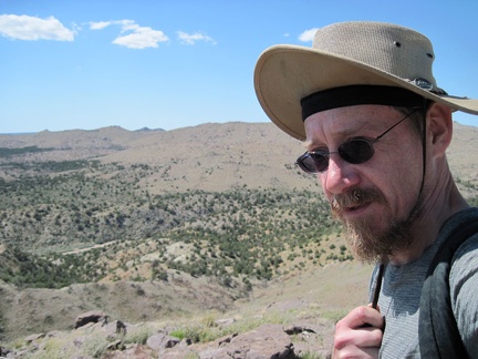 It's really windy up here on Pinto Mountain, so I often find myself holding my hat straps to help keep the hat on my head
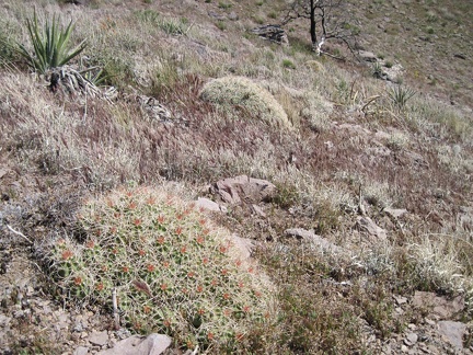 As I walk along a hillside on the north side of Pinto Mountain, I almost step on this low cactus which camouflages nicely
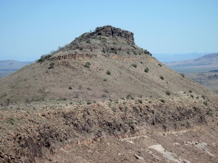 Close-up of Purdy Peak, Pinto Mountain, Mojave National Preserve
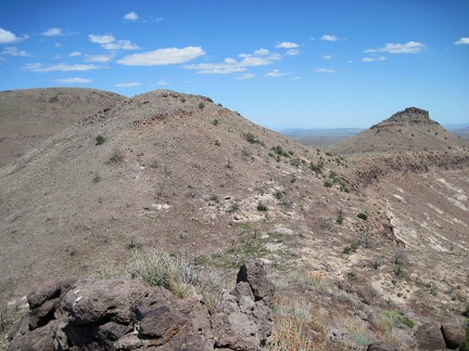 I take a break on a hill on Pinto Mountain at about 5870 feet elevation, munch on an energy bar and enjoy the views
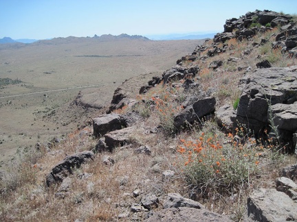 Orange desert mallow blooms splash some colour on the view toward Mid Hills campground and Eagle Rocks, Mojave National Preserve
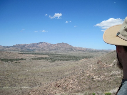 Northeast of Pinto Mountain are views across Pinto Valley to the New York Mountains
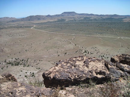 At the crest of Pinto Mountain, the southward views of Round Valley are excellent, as one would expect
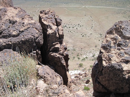 It's a steep drop down the front of Pinto Mountain to Round Valley
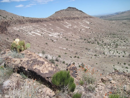 I look over to Purdy Peak, the highest point in the Pinto Mountain formation
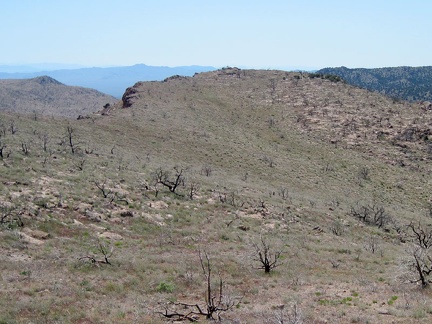 A glance to the west shows how the slope up the back of Pinto Mountain ends abruptly at the steep escarpment
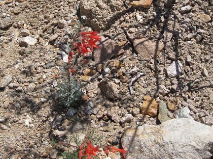 Bright red hummingbird flowers growing in the gravelly drainage west of Pinto Mountain
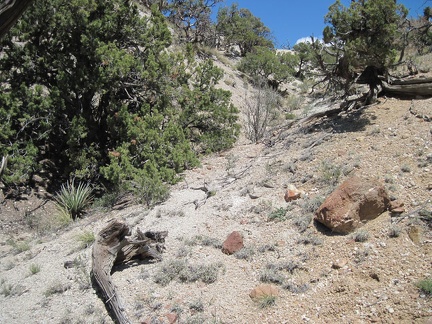 I climb past a few junipers on the way up the drainage area to Pinto Mountain
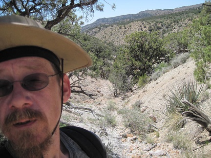 Steep uphills are always satisfying when one turns around to see how much one has risen in such a short time
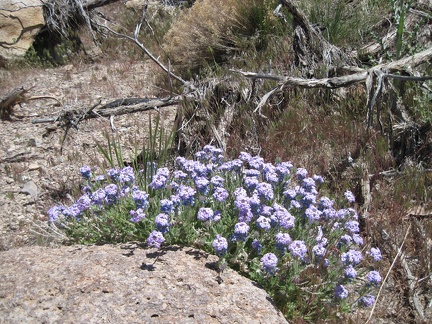 A few patches of verbena are still flowering in the semi-shady drainage as I rise up the back of Pinto Mountain
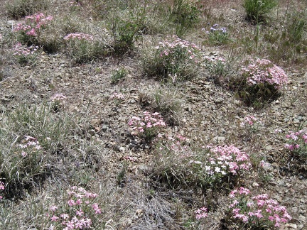 Also still blooming on the north side of Pinto Mountain are a few tufts of phlox
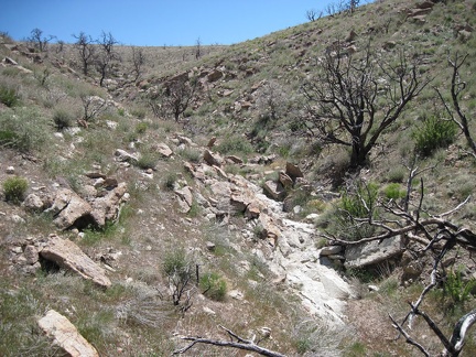 I'll keep hiking up to the top of the semi-barren slope, and then I should be at the top of Pinto Mountain
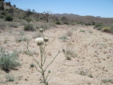 White thistle in Cedar Wash on the way to Pinto Mountain, Mojave National Preserve
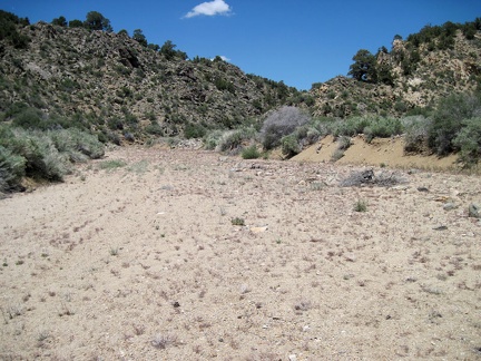 Still in Cedar Wash, to my right is one of two locations I marked on my GPS unit as a possible route up Pinto Mountain