Home 7119

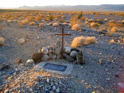 As I leave the Rex Mine area, I notice a grave site that I didn't see earlier
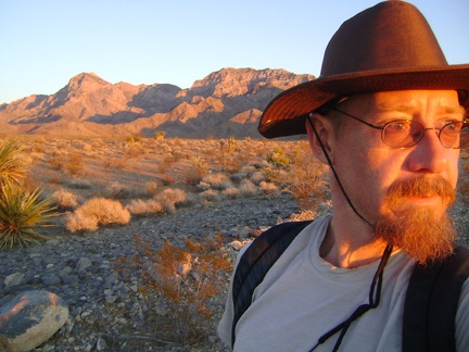 Catching the last hot-red rays of sunset as I walk down Rex Mine Road, with the Providence Mountains behind me
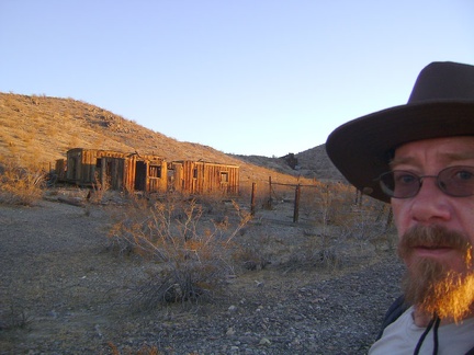 Time to say good-bye to Rex Mine; it has been a long and interesting day exploring the area
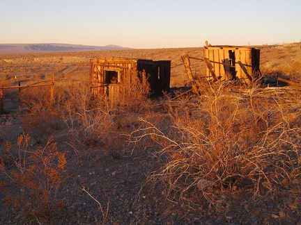 Passing the Rex Mine boxcar cabins under the red glow of sunset
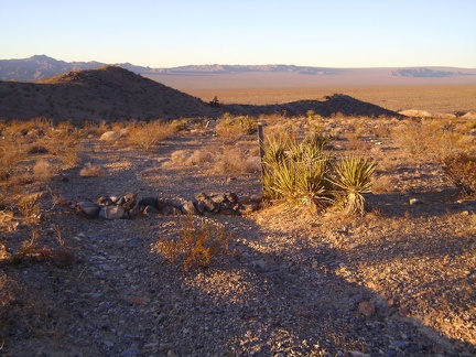 The old road passes an official Wilderness marker (non-Wilderness begins here) with the Rex Mine headframe in sunset silhouette
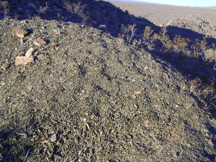 I climb down from the rooster comb and notice a small tailings pile of greenish shale-like strips
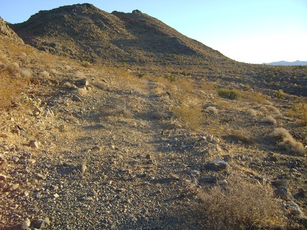 Back on the old road, it's time to head back to camp; the upper-left of the hill ahead is where I visited the cave a while ago
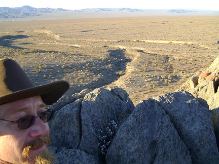 Looking toward Kelso from the rooster comb, I keep looking for my tent, which is too small to be visible in this view
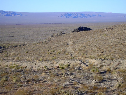 I now join an old dead-end road from Rex Mine, leaving the cave up on the hill behind me
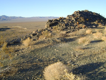 The old road ends at the rooster comb, as I thought it might, with excellent views over Kelso Valley
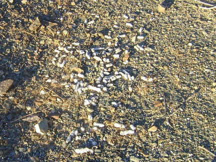 At the base of the rooster comb is a lot of scat, none of it fresh
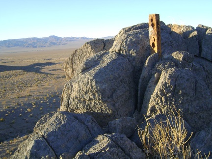 Atop the rooster comb is another claim or survey marker
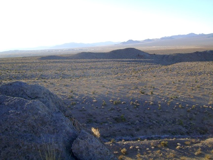 I linger for a few minutes on the rooster comb to take in the view over to Rex Mine, Kelso Dunes and far beyond
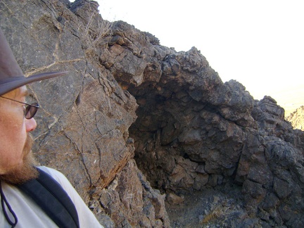 I carefully edge my way along the ledge and am surprised to find that the cave is empty
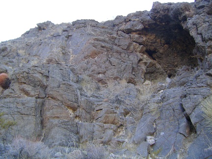 I stop to look back up at the cave as I carefully climb down the hill
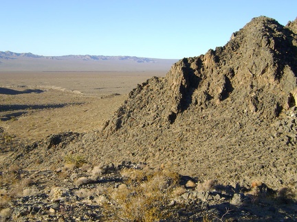 On the way down the hill from the cave, I notice a long train climbing up the Cima Grade down in the valley
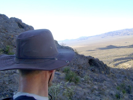 While pausing to plot a good route down the short steep hill, I notice a small cave in the hillside
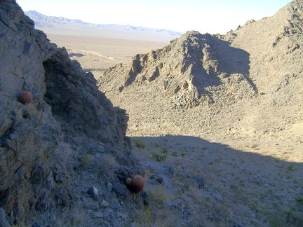 Entrance to the small cave is via a narrow ledge
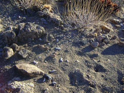 At the top of the hill, in addition to the great views, is a bunch of scat
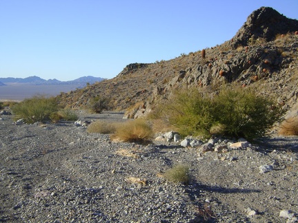 The relatively smooth gravel in this part of the wash is a nice break from all the rock higher up the canyon
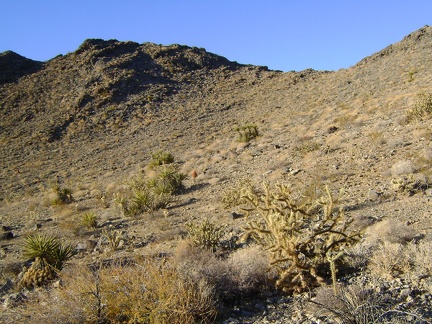 I'm doing well for time, so I'm going to climb over this hill and connect to an old dead-end road from Rex Mine
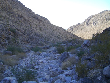 Exiting the shaded part of West Edgar Canyon #3
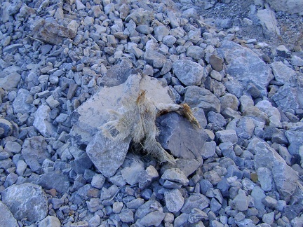 Another skull fragment, this one with fur still attached
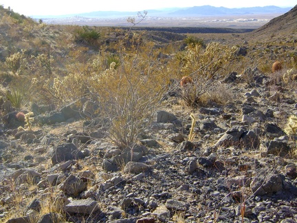 Against a Kelso Dunes backdrop, chollas and creosotes glisten at the exit of West Edgar Canyon #3
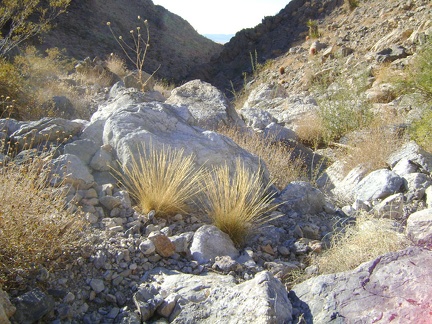 Two tufts of yellow grass decorate a jumble of rocks in West Edgar Canyon #3, Mojave National Preserve
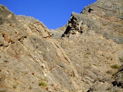 For a moment, I think I've noticed a post way up on top of the canyon walls, but conclude that it's probably an agave plant
 At 3300 feet, it's time to stop for an energy bar break and to consider backtracking out of West Edgar Canyon #3
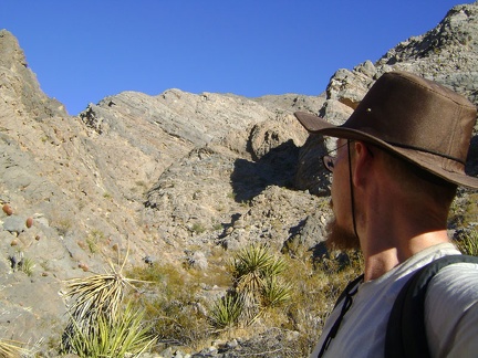 West Edgar Canyon #3 makes a tight left turn just ahead, and continues to rise into the Providence Mountains
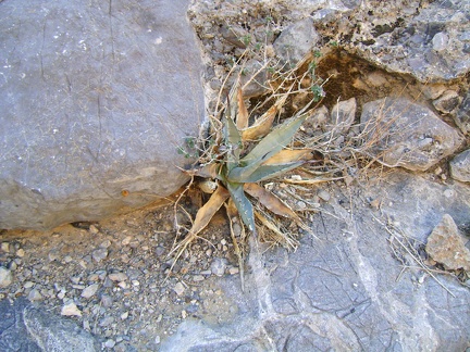 Desert dudleya growing in West Edgar Canyon #3
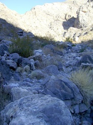 West Edgar Canyon #3 gets narrower and passes through some deep shade
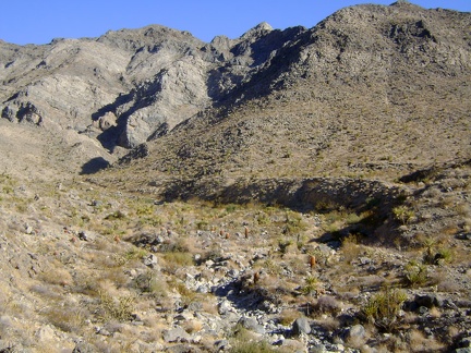 As I enter West Edgar Canyon #3, I think I see a very faint trace of a road along the bottom of the hill at my right
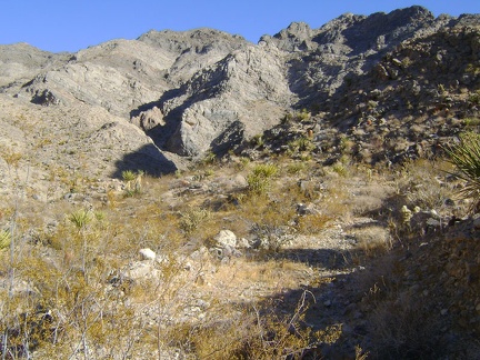 There is a faint old road cut here after all, but it's so grown-in that it doesn't always make for a good hiking trail
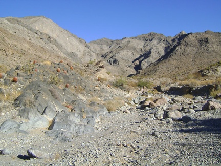 A barrel-cactus garden at the mouth of "West Edgar Canyon #3," Providence Mountains
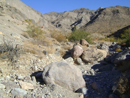 West Edgar Canyon #3 is, as you might expect, full of rocks, big and small
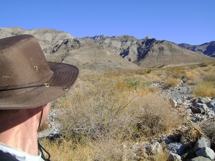 As I walk up the wash toward the Providence Mountains, I decide to skip the first canyon and visit the next one instead
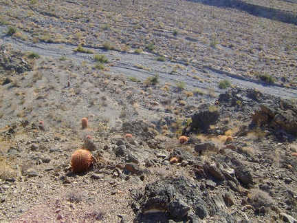 I pluck my way back down the hill to the wash, carefully
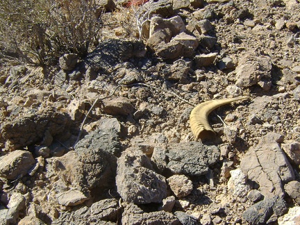 On the way down the hill, I find a horn
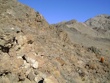 My little hill on the western tip of the Providence Montain range is an interesting climb
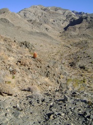 Nice view from this hill into a little canyon; I think I'll climb back down and hike up that way
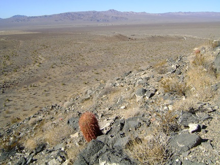 Great view to the north from here also, overlooking the Rex Mine area, that little hill in the middleground
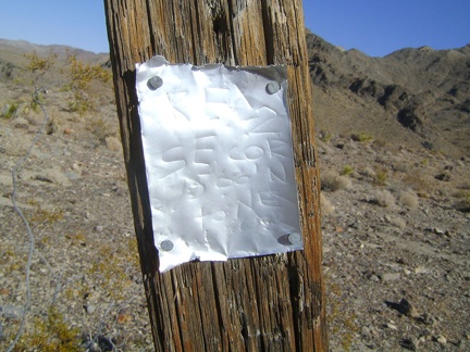 On the way to my chosen hill beyond Rex Mine, I come across another claim marker
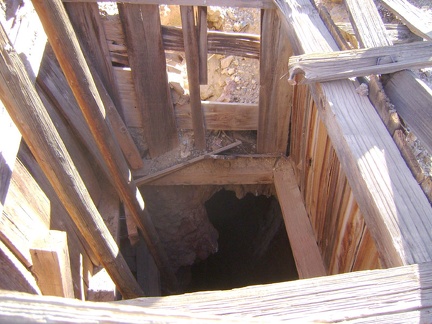 I take a peek down the shaft at the Rex Mine headframe
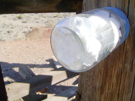 Attached to one of the timbers is bottle containing mining claim papers
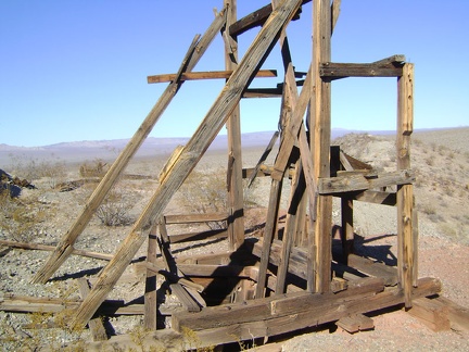 While at the Rex Mine headframe, I get out my maps and decide where to go next
 I decide to walk up the trace of an old road beyond Rex Mine and try climbing that first hill ahead
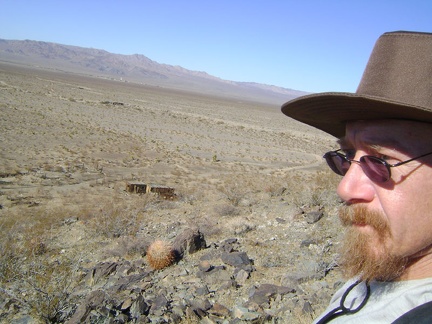 Gee, the Rex Mine boxcar cabins look so small from up here
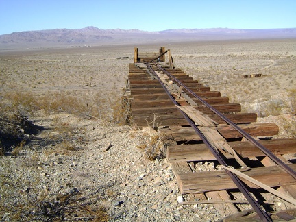 The track to the ore bin at Rex Mine looks like it's headed straight for Kelso
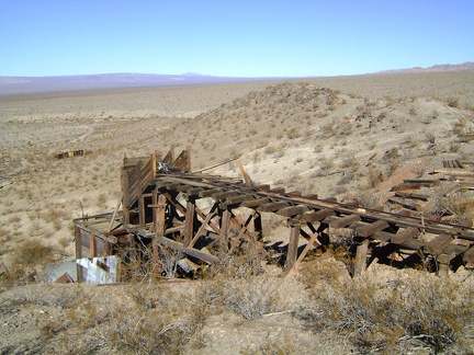 At the end of the trackway at Rex Mine, a chute drops down to the ore bin below
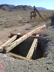 Along the trackway is an open shaft and the main headframe, with the Providence Mountains in the background
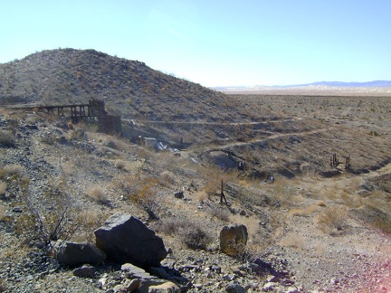 A gently switchbacking road winds up the hill to the Rex Mine ore bin
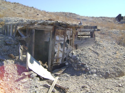 Cold-storage building at Rex Mine, Mojave National Preserve
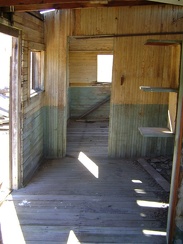 This Rex Mine boxcar-cabin room has the luxury of wooden interior walls
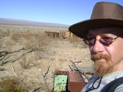 Abandoned stove at Rex Mine site, Mojave National Preserve
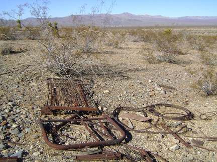 Abandoned bedspring at Rex Mine, Mojave National Preserve
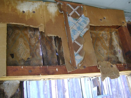 A closer look at the wallpaper, cardboard, and wallpaper interior at the Rex Mine boxcar cabin
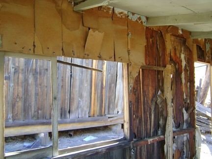 Interesting wall coverings in this boxcar room at Rex Mine
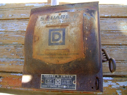 This boxcar cabin at Rex Mine had electricity
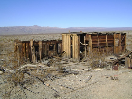 It looks like a tiny flat-roofed addition, just big enough to be a closet, was built on to the near cabin
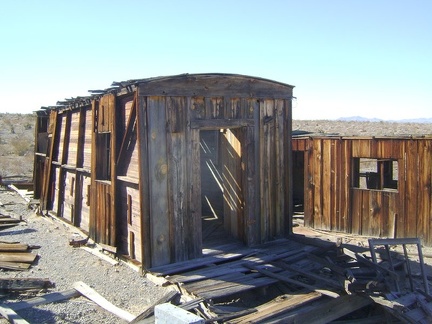 The boxcar cabins at Rex Mine have a board-and-batten exterior
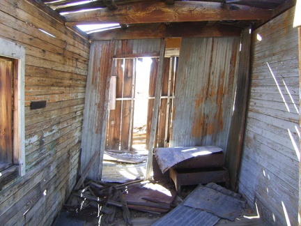 This boxcar cabin at Rex Mine leans to one side, anxious to collapse one day
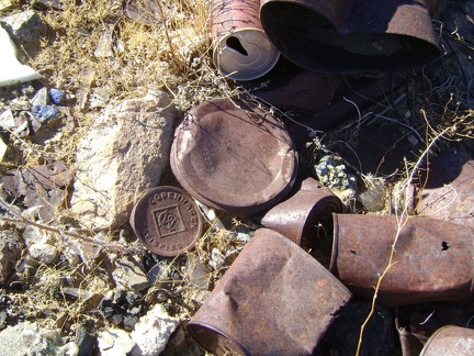 An old Copenhagen tobacco lid rusts quietly amongst other, less identifiable, cans at the old Rex Mine site
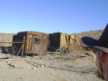 The old "cabins" at the Rex Mine site are actually old railway boxcars
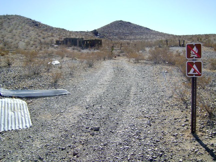 The only signs marking one's arrival at Rex Mine are these no-camping and no-campfires sign
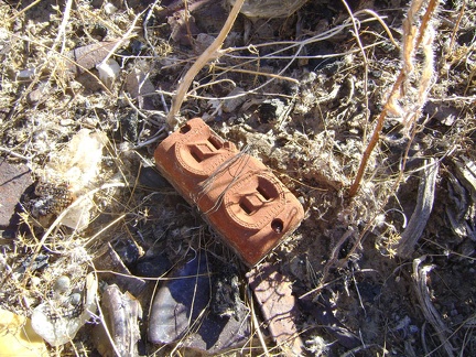 I check out one of several debris piles at Rex Mine and find an ornate electrical socket
 I finish the hike across the rocky fan and begin the easier walk up Rex Mine Road
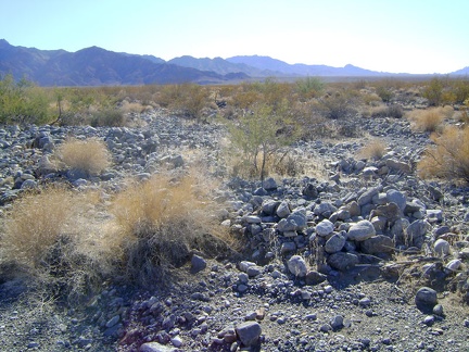 The dense scattering of rocks on the fan east of Kelso induces what I call, "avoidance hiking"
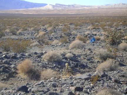 Oh look, a lost set of four bright-blue ballons tied together, stuck to a young creosote bush, framed by a Kelso Dunes backdrop
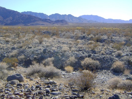 Numerous gulleys need to be crossed while hiking the fan betweeen Cornfield Spring Road and Rex Mine Road
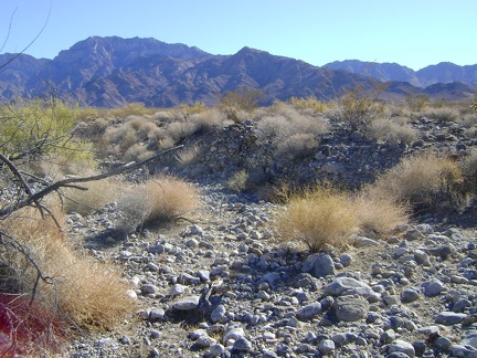 The sides of the drainages coming down the fan are mostly not very steep, but they do make for clumsy hiking
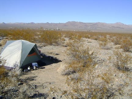 Another sunny morning on Cornfield Spring Road; I'm still coughing a lot from my cold, but am ready for another hike anyway
 To get over to Rex Mine Road from my campsite on Cornfield Spring Road requires a 1.5-mile hike across the rocky fan
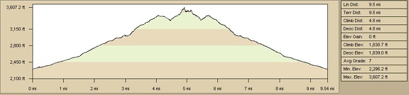 Elevation profile of Cornfield Spring hiking route, Mojave National Preserve
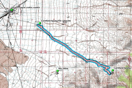 Cornfield Spring hiking route, Mojave National Preserve
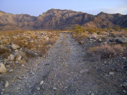 A soft glow illuminates the Providence Mountains behind me as sunset fades away
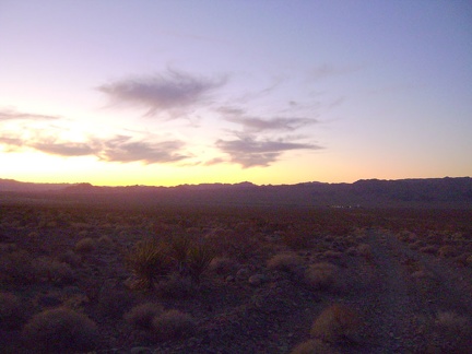 It's getting dark, and I can see that the lights are already on down at the village of Kelso
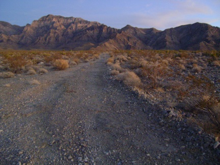 One last glance back at the Providence Mountains at dusk before there's no light left at all
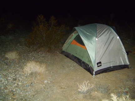 Sunset went away half an hour ago, and I arrive back at the tent just past 17h30
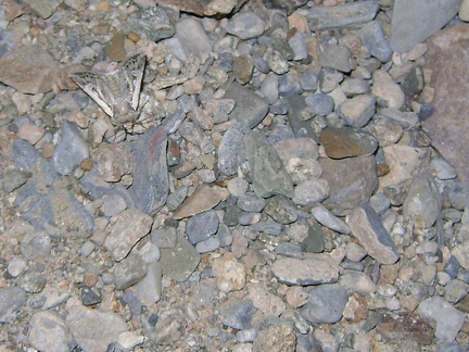 I settle in for the evening and am surprised to hear a small moth outside flitting against my tent
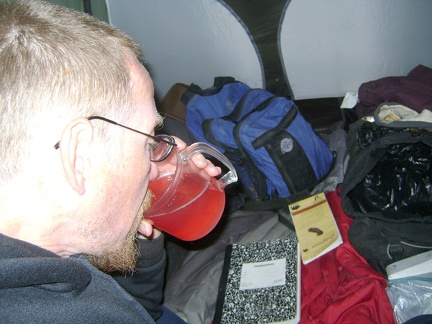 I boil some water for a cranberry vitamin-C drink, which will hopefully help combat my cold; supper is next!
 I can't stop myself from constantly looking behind me to see the newest lighting effects on the Providence Mountains
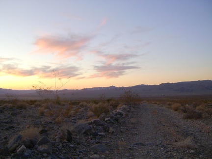 Walking down Cornfield Spring Road toward Kelso at sunset, Mojave National Preserve
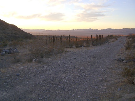 Passing the Cornfield Spring Road corral again, I exit the Providence Mountains for the day
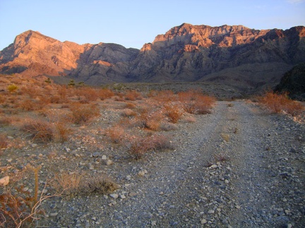 Behind me, sunset smears reddish light over parts of the Providence Mountains as I walk back down Cornfield Spring Road
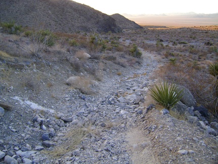 Parts of Cornfield Spring Road are quite rideable; perhaps I could have used my bicycle for part of today's hike
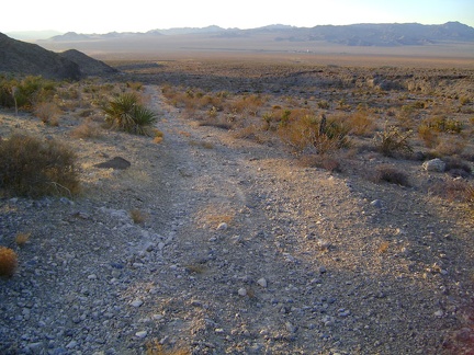 I'm coming dowwwn Cornfield Spring Road
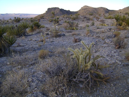 Now at the summit of Cornfield Spring Road, I have a nice partial view across to Cima Dome on the other side of Kelso Valley
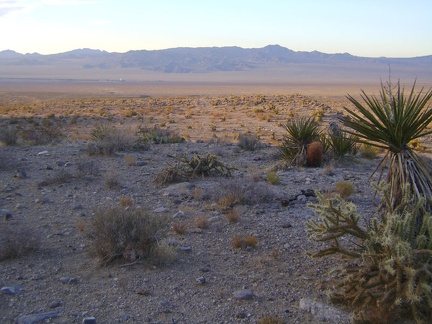 I can see Kelso down in the valley, and I'll be staring at it for the rest of my hike down Cornfield Spring Road in the sunset
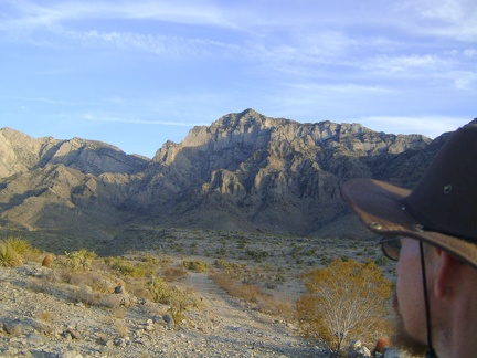 A final glance at the little valley near Cornfield Spring, and the unnamed canyon beyond that I was hoping to have time to hike
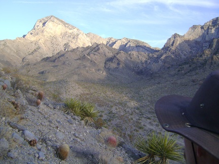 Excellent end-of-day light on the Providence Mountains as I walk up a steep hill to avoid one of the switchbacks on the road
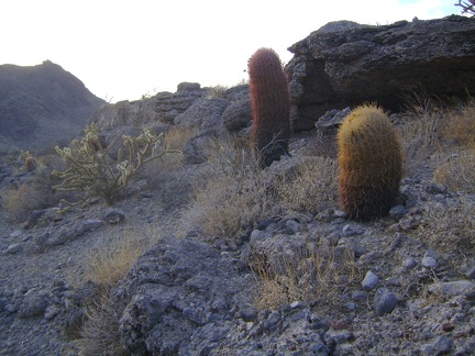 A few barrel cacti dot the hills near Cornfield Spring
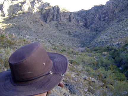 As I leave Cornfield Spring, I think about camping up here some day here instead of pitching my tent so close to Kelso
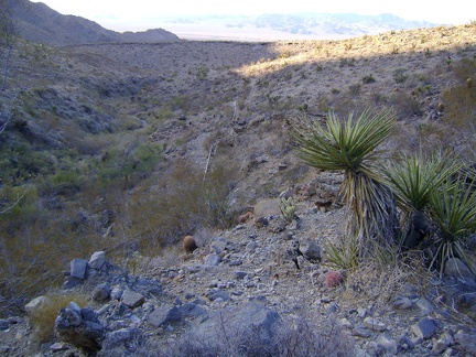 I follow the old pipe away from Cornfield Spring and back to the road
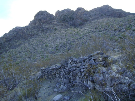 Rock wall at Cornfield Spring, Mojave National Preserve
 Remnant of old switchback road near Cornfield Spring, Mojave National Preserve
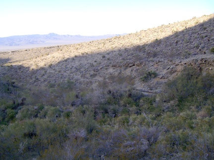 Looking north from the south side of the wash near Cornfield Spring, toward the old water pipe that leads to Kelso
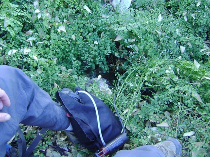 I step across some rocks in a patch of plants (maidenhair ferns, I think) under which a dark blue stream trickles vigourously
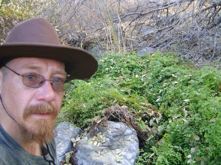 Sitting here in deep shade pumping water from Cornfield Spring makes me feel like I'm somewhere other than the Mojave Desert
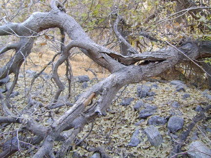 After filtering 10 litres of Cornfield Spring water in the shade, it's time to climb under that tree again and out of the wash
 Cornfield Spring canyon here is already in the shade; it will be dark by 17h, a bit before I make it back to my tent
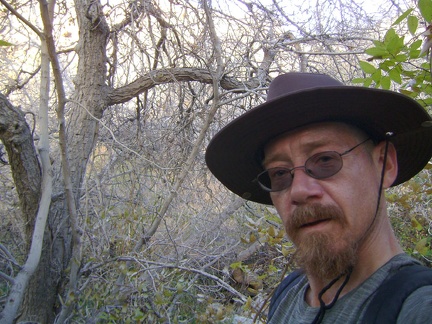 I turn back and notice a grown-in, but relatively flat, spot near the still-invisible stream that I can hear
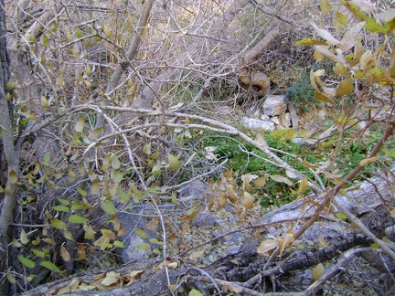 Yes, that should be the stream from Cornfield Spring, that green patch right there
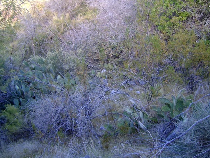 I'm not sure where the old road went because it's grown-in, but I can now hear a trickle of water down in Cornfield Spring wash
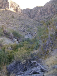 The source of Cornfield Spring is just ahead; I keep getting scratched by catclaw bushes when I try to climb down to it
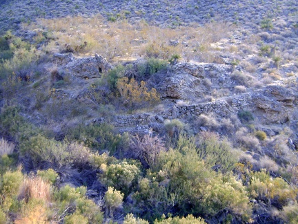 I climb down the steep hillside and notice the remnants of a switchback road on the other side of Cornfield Spring wash
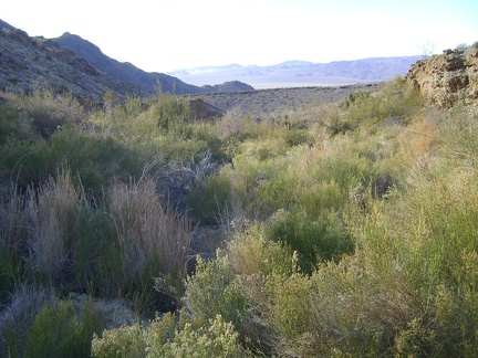 I push my way through rabbitbrush and other plants to get across Cornfield Spring wash
 Coming up what's left of the old switchback road at Cornfield Spring
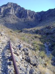 I don't see Cornfield Spring yet, but following the old pipe should take me there
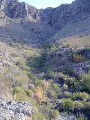 Anticipation: Cornfield Spring is obviously somewhere down there at the upper end of the green area
 I'll follow Cornfield Spring Road around the sharp U-turn at the bottom of the hill just ahead
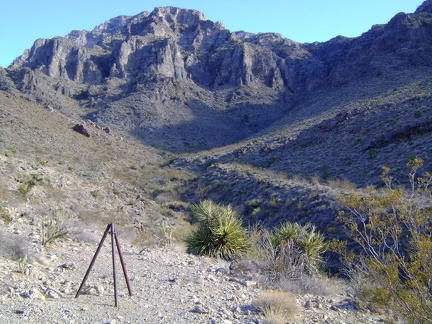 Cornfield Spring Road's final switchback takes me up a hill and around a bend to this tripod-like end-of-road marker
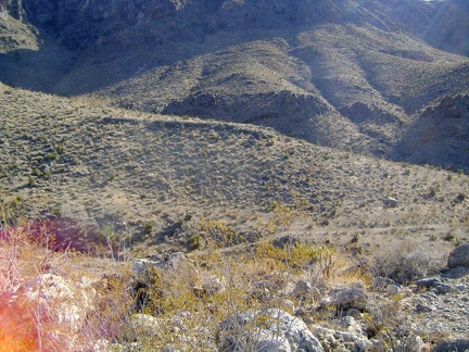 From this hill at 3450 feet, Cornfield Spring Road zigzags down into a gulley and then up along the ridge of the next hill
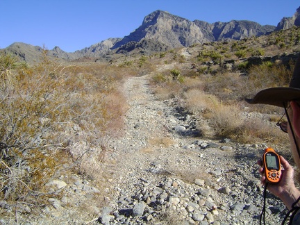 Cornfield Spring Road climbs over a few big hills during its final two miles to avoid the flood-prone wash below the spring
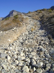 The soil on this steep stretch of Cornfield Spring Road has eroded over decades, leaving just a trail of rocks
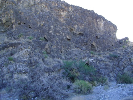 Along the wash near the old Cornfield Spring Road corral is a rock wall with lots of mini-caves carved into it
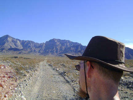 It looks flat, but the walk up the fan toward the Providence Mountains is a gentle uphill at about 4% grade
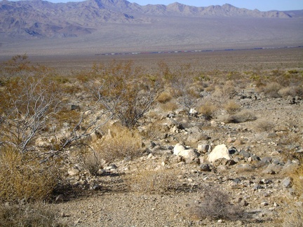 Looking back down to Kelso Valley, I watch a train slowly climb the Kelso-Cima grade
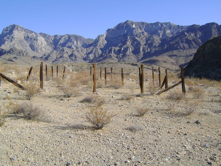 About 3 miles up Cornfield Spring Road from my tent, I pass an abandoned corral and the edge of the Providence Mountains block
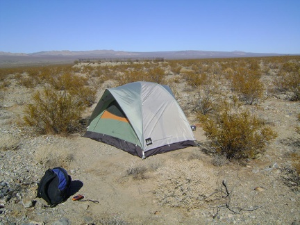 The suns feels good as it warms the chilly morning air on the fan near the former Kelso reservoir
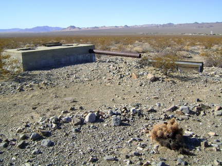 As I start the walk up Cornfield Spring Road, I stop at a concrete box that I missed when I camped here a few months ago
 A former road that connected the old Kelso reservoir to Cornfield Spring Road is still discernable
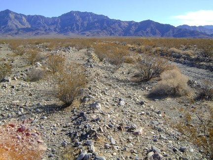 The exact location of Cornfield Spring Road has moved a few times over the decades
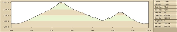 Old Dad Canyon and Idora Mine Canyon hike elevation profile
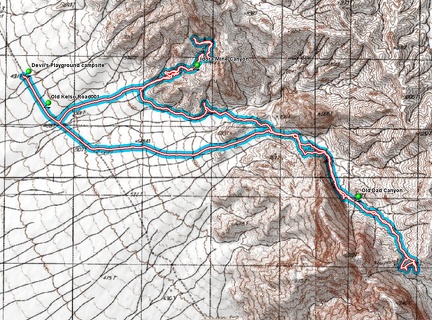 Old Dad Canyon and Idora Mine Canyon hiking route
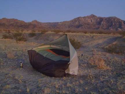 I arrive at my tent to find that strong Devil's Playground winds have blown it during the day over while I was out hiking!
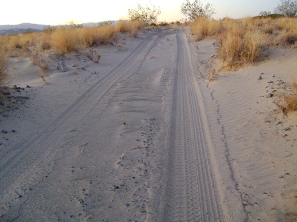 Walking the last half mile up Old Kelso Road back to the tent at dusk
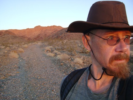 I absorb the last of the red rays of sun as I walk away from Idora Mine Canyon
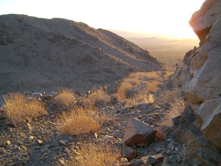 Coming down the last switchback in Idora Mine Canyon
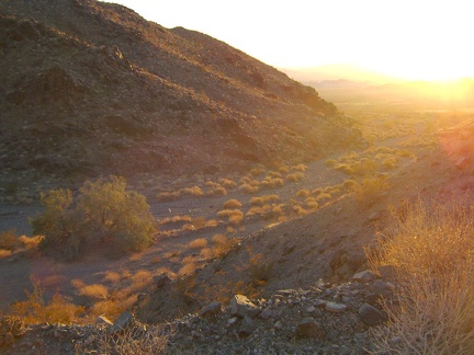 A wash of gold light greets me as I exit the mouth of Idora Mine Canyon
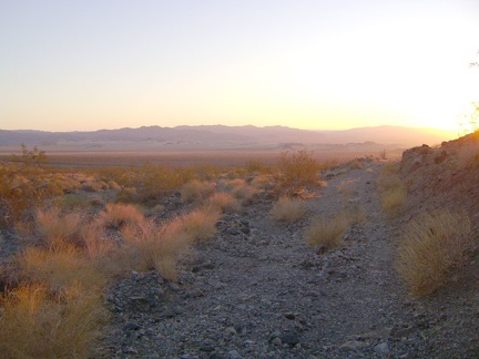 Pinkish light flows over the Devil's Playground at sunset
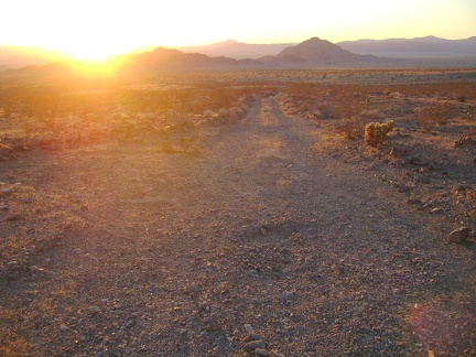 Enjoying the sunset to the left of Cowhole Mountain as I walk down the bottom of the road from Idora Mine Canyon
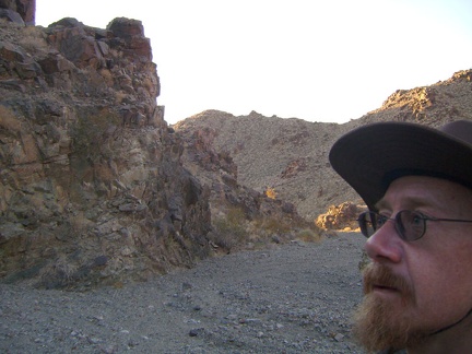 A few glints of hot yellow sunshine dart into Idora Mine Canyon as I hike back down
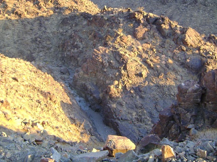 On the way down, I get a nice view down into the short slot canyon that I briefly explored on the way up
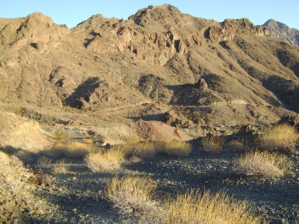 One could easily spend a whole day, or more, up here leisurely exploring the nooks and crannies of these hills
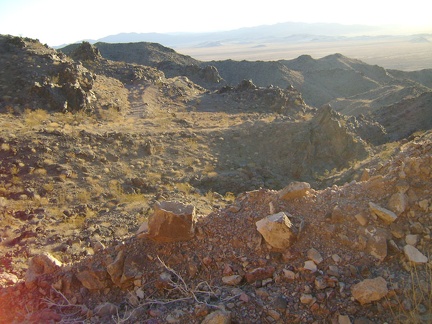 I try to imagine an old vehicle driving up this road 50, or 80, years ago
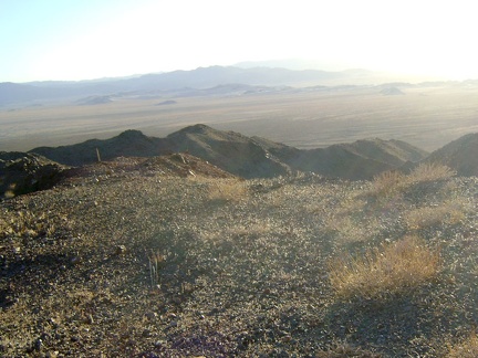 At the summit of Idora Mine Canyon, at about 2500 feet elevation, is a flat area, perhaps flattened by mining
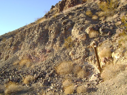 Along the road is a post with a white object attached to it
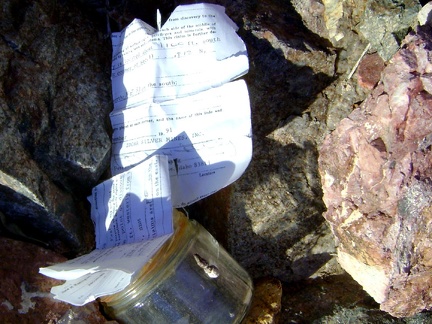 I can't resist the temptation to open the bottle and see if the paper inside is readable
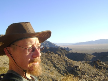 Well, it's time to start heading back down Idora Mine Canyon and back to camp
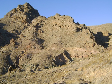 Approaching the final switchback on the road up Idora Mine Canyon
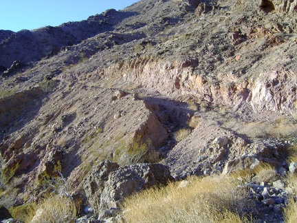 The old road is washed out at this last switchback
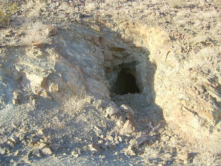 A little further is a small tunnel dug into the side of the hill
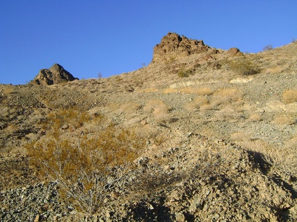 Getting closer to the top of Idora Mine Canyon
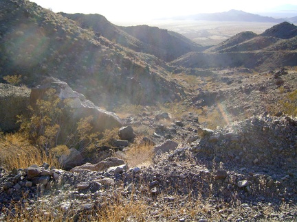 Nice views looking back down Idora Mine Canyon
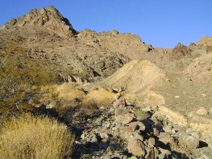 The road rejoins the wash in Idora Mine Canyon above the slot canyon
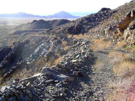 Rising up the lower switchbacks in Idora Mine Canyon away from Devil's Playground down below
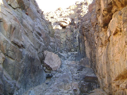 This turns out to be a tight little slot canyon
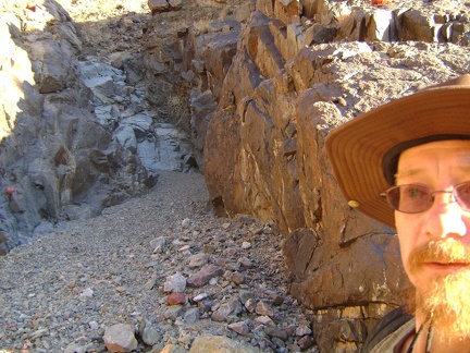 Oh good, a couple more bends in this little slot canyon
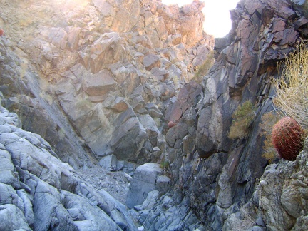 The slot canyon is intense, but doesn't continue very far before connecting to a broader wash above
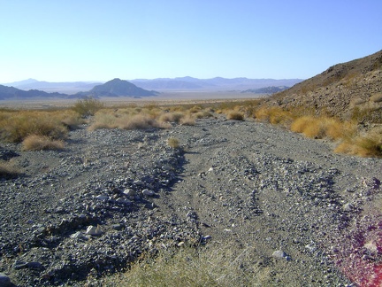 I decide to follow a U-shaped route from here down the wash and around the hills to get to the road leading up Idora Mine Canyon
 After a bit of walking northwest across the fan, my "U" route is complete and I'm hiking east toward Idora Mine Canyon
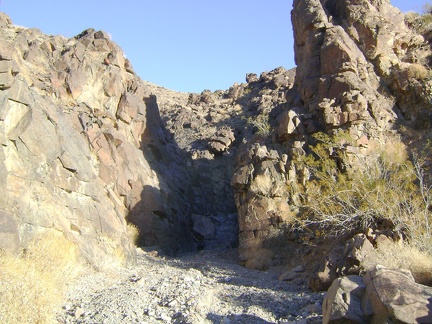 Just as the road into Idora Mine Canyon makes its first switchback (to the left), I'm drawn toward a rock outcrop on my right
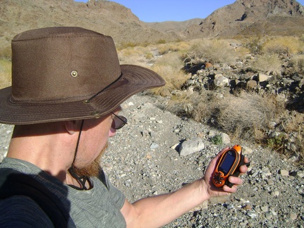 Down in the unnamed wash north of Old Dad Canyon, I do a map and GPS check
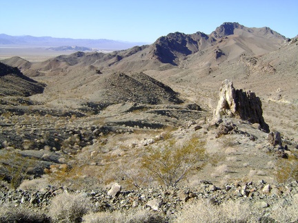 The old road leads me to a nice lookoff point from where I plot my next steps
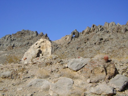 From a distance, I thought the rock in the foreground might be a natural arch, but the hole doesn't penetrate completely
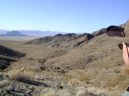 I climb up the hill to get a view of the next unnamed canyon
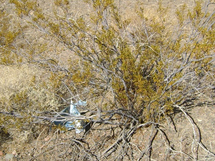 Here I am out in the middle of nowhere, and I find an old balloon stuck on a creosote bush
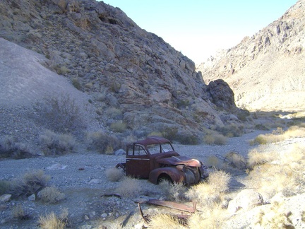 A little further down the wash, I pass by the old truck again
 I lift up the hood to take a peek inside
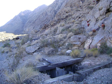 Just beyond the old truck, I stumble upon (and not into) an abandoned mine shaft; it looks like it might be quite deep
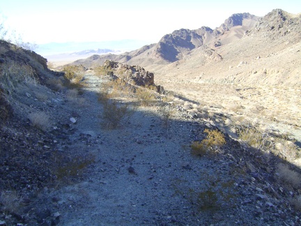 Getting closer back to the mouth of Old Dad Canyon, I walk up the hillside, following a grown-in former road
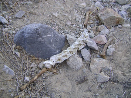 A few of the bones look dark and perhaps a bit moist, as if the last remaining meat was plucked off them just a few days ago
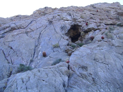 Up the steep rock hillside above Old Dad Canyon are scattered numerous small caves
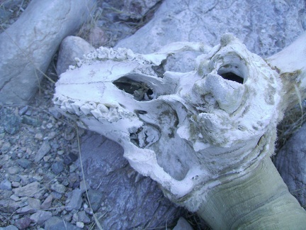 This close-up focuses on the teeth and jaw
 Looking closer, I see that a small tuft of fur remains between the two horns
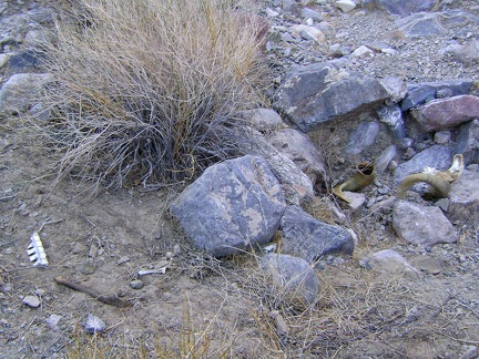 I look around and notice a few bones scattered nearby
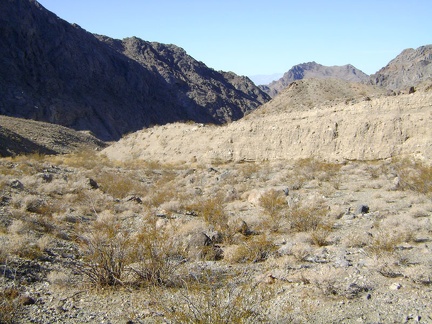 Part of Old Dad Canyon ahead is now deeply shaded from the midday sun
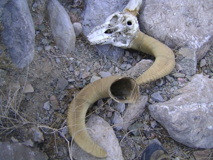 In the shaded area, I stumble upon an archeological feature
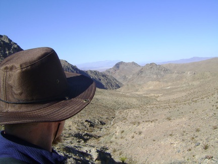 I decide that what I really want is to hike back down Old Dad Canyon the way I came, and then hike a bit of Idora Mine Canyon
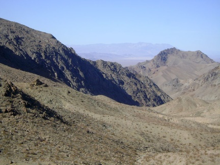 I have to put my sweater on for the hike back down Old Dad Canyon
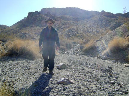 Walking back down Old Dad Canyon
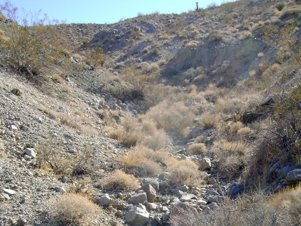 Old Dad Canyon becomes a narrow, rocky drainage as I approach the top
 I spend a bit of time at the summit of Old Dad Canyon at 3250 feet, enjoying the views and the solitude
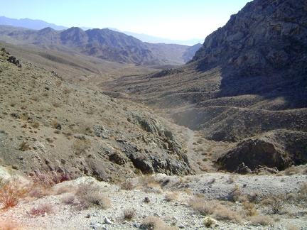 One option is to continue ahead, down into the south end of Old Dad Canyon and climb up Old Dad Mountain on a known ascent route
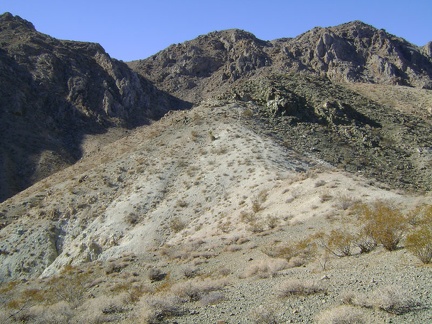 I could also try heading straight west from here up to the top of the Old Dad Mountain range
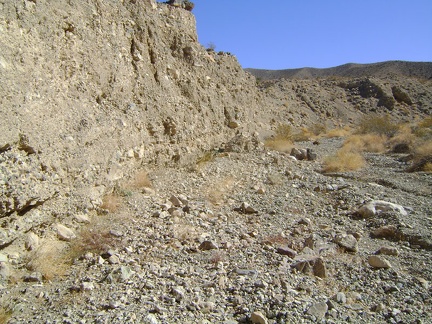 Though dry as can be right now, the forces of water and erosion are clearly at work from time to time in Old Dad Canyon
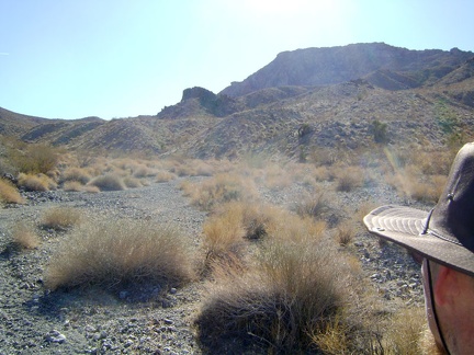 After the cabin area, Old Dad Canyon widens while it continues to rise
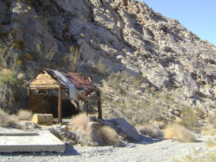 I stumble across the remains of a very modest old cabin
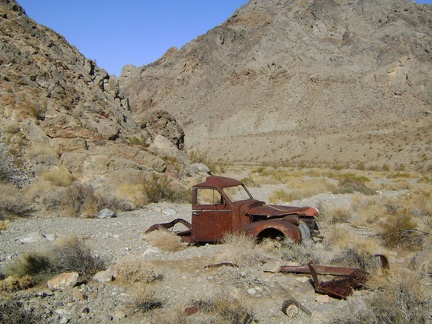 Just beyond the cabin rests an abandoned old truck
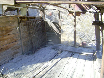 Not much remains of the cabin in Old Dad Canyon except the floor and roof
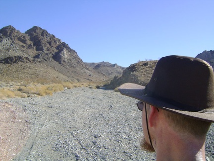 About 1.25 miles up the fan, the road enters Old Dad Canyon
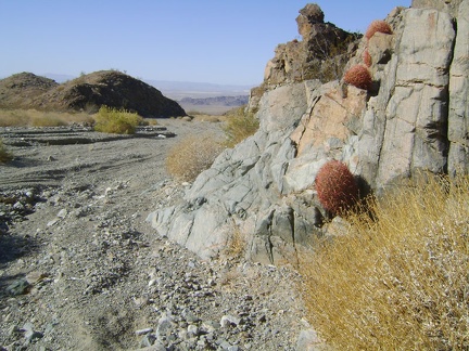 Barrel cacti grow in the rocks at the entrance to Old Dad Canyon
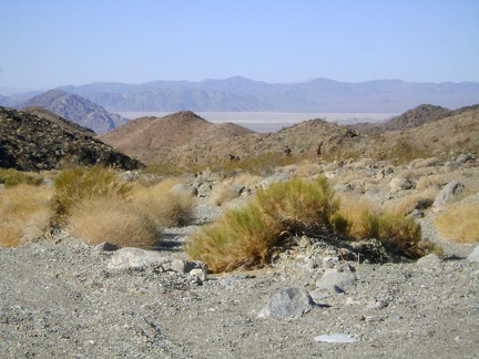 Great views from the entrance to Old Dad Canyon back down to flat (and usually dry) Soda Lake in the distance
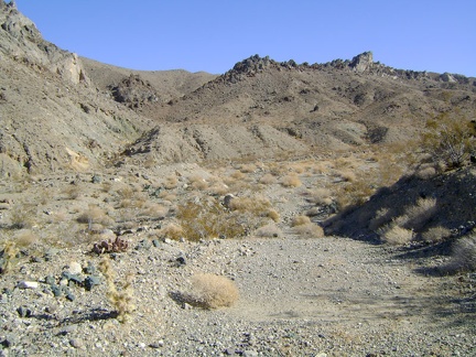 I walk around the bend into Old Dad Canyon and can no longer see back down to the valley floor below
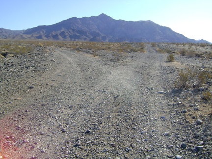 After a 3/4 mile walk down Old Kelso Road, I turn left at the junction to head up the fan and into Old Dad Canyon
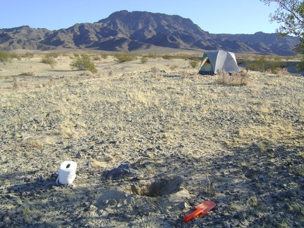 After two cups of hot coffee and some breakfast, it's time to dig the first cat hole of the trip
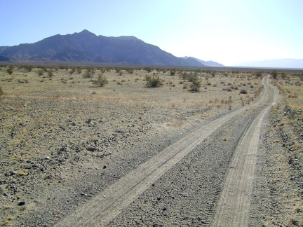 Shortly after 9h, an unusually early hour for me, I'm hiking south on Old Kelso Road toward Old Dad Mountain
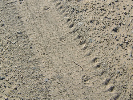 Footprints on Old Kelso Road, Devil's Playground, Mojave National Preserve
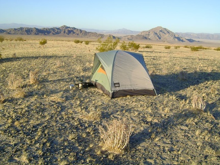 Early morning on the east side of Mojave National Preserve's Devil's Playground, with Cowhole Mountain in the background
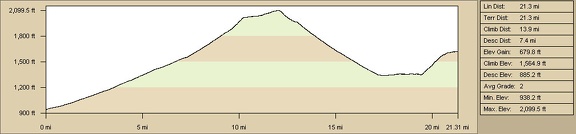 Elevation profile of bicycle route from Baker to Devil's Playground campsite
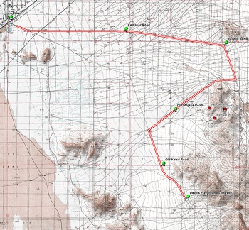 Bicycle route from Baker to Devil's Playground campsite northwest of Old Dad Mountain
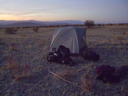 Devil's Playground sunset completed, the tent is set up for the next two days
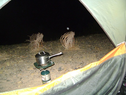 It's a chilly evening already, and I'm boiling water for tonight's add-water-to-bag meal
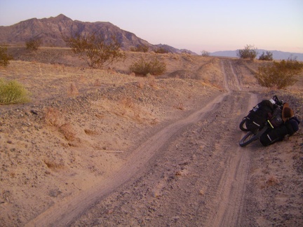 I ride a little further south on Old Kelso Road in the red light of sunset and stop before reaching the next dry wash
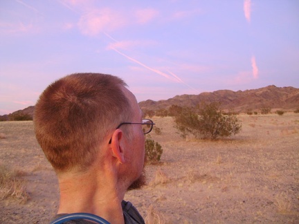 The brilliant pink Mojave Desert sunset is reflecting in the clouds to the east of me
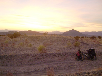 This Devil's Playground campsite is perfect near Old Kelso Road, with pointy Cowhole Mountain in the background
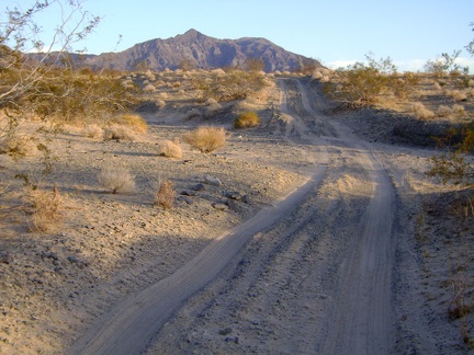 Old Kelso Road along the east side of Devil's Playground gets mixed reviews for bikepacking
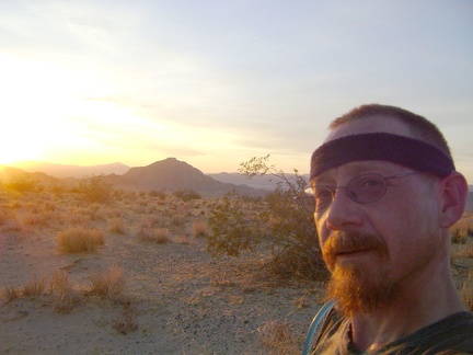 Sundown approaches early at this time of year; in 30 minutes it will be almost dark
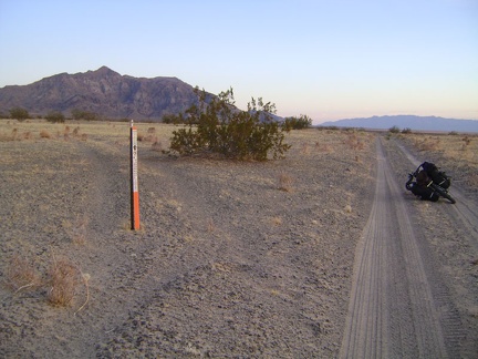 A Wilderness marker blocks errant tire tracks on the approach to Old Dad Mountain on Old Kelso Road
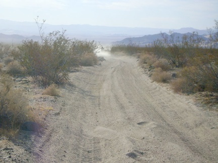 A group of dirt (motor)bikers catch up to me on a sandy stretch of the old Mojave Road and they stop for a chat
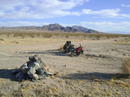 After 5 miles of dirt road and Mojave Road, I take an energy-bar break at the junction of the Old Kelso Road