Home 7119

 A bit further north on Black Canyon Road, I reach my shortcut road over to Cedar Canyon Road and Pinto Mountain
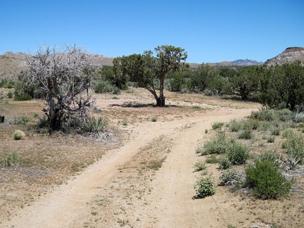 The shortcut road to Cedar Canyon Road is a good two-track for a short distance, up to a secluded campsite under an old juniper
 This is another area of the Mid Hills that was partially burned, but not completely, during the 2005 brush fires
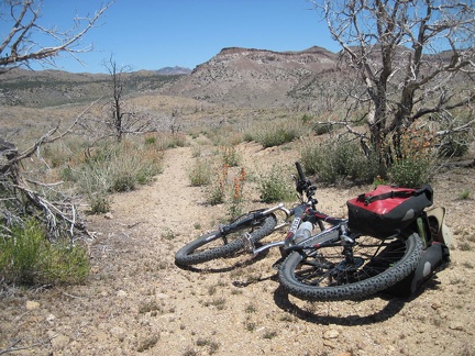 Beyond the juniper campsite, the shortcut road to Cedar Canyon Road fades out somewhat due to lack of use
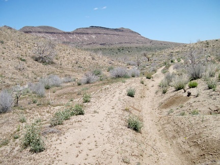 Off-camber stretches of the shortcut road toward Pinto Mountain make it unusable by low-clearance vehicles
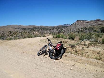
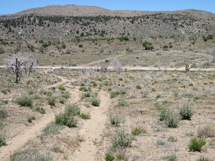 The shortcut road descends to Cedar Canyon Road and then crosses it
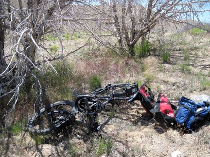 I stash my bicycle behind some dead trees near the old Mojave Road and start the hike to nearby Pinto Mountain
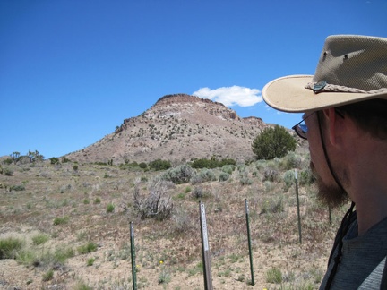 The Pinto Mountain hike starts by passing through the Wilderness-boundary markers
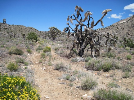 An old closed road beyond the Wilderness boundary on the west side of Pinto Mountain makes for a perfect trail
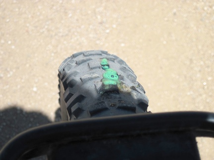 Back on Black Canyon Road, I hear hissing, and see a bit of "Slime" oozing out of my front tire to prevent a flat
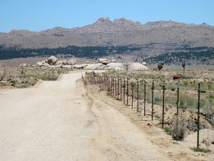 I ride two miles down Wild Horse Canyon Road, then ride north on Black Canyon Road
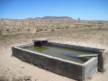 The old cistern here by Holliman Well off Black Canyon Road, with Pinto Mountain in the background, is full
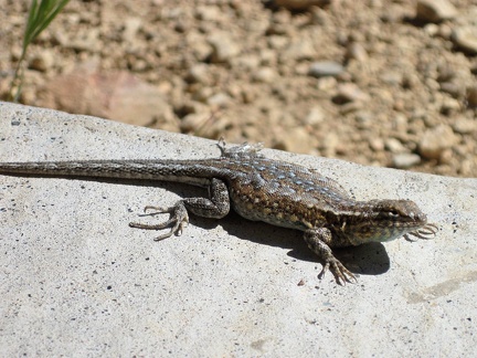 A lizard on a rock near my tent says "Good morning!" as I step outside my tent after a relaxed breakfast
 Some regrowth at Mid Hills campground, almost five years after the 2005 brush fires
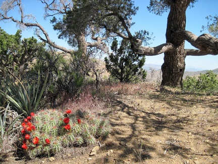 This old pinon pine near my tent at Mid Hills campground is in a green pocket that escaped the 2005 brush fires
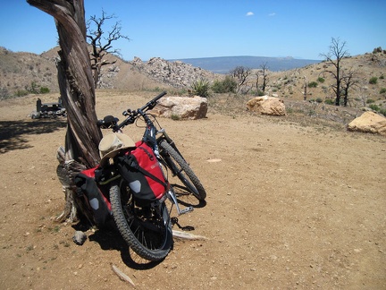 I do a test ride to a nearby campsite after fixing the bike's misaligned rear wheel; nice view of Cima Dome from this site
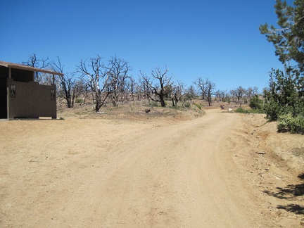 As I ride the 3/4 mile out of Mid Hills campground, I stop to see if the water is better here than from the tap by my campsite
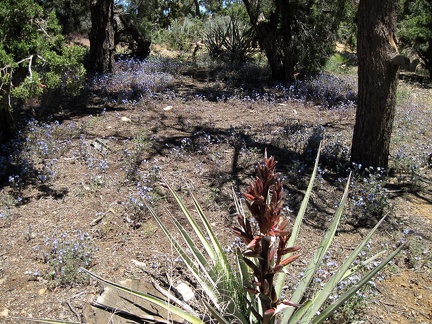 Across the road from the washrooms, a patch of phacelias bloom amidst a stand of junipers, pinon pines and yuccas
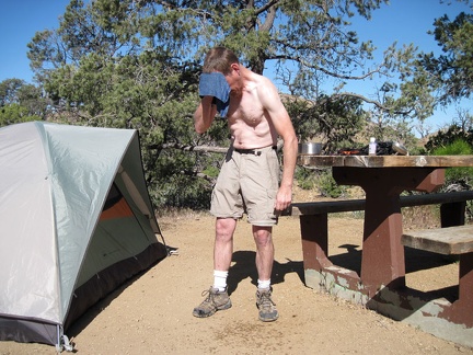 I'm happy to wake up and find myself at Mid Hills campground, Mojave National Preserve
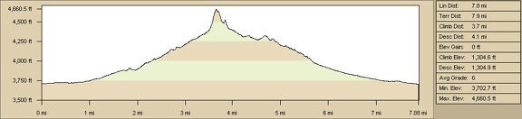 Kelso Peak hike elevation profile from my powerline road campsite, Kelso Mountains, Mojave National Preserve (Day 2)
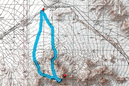 Kelso Peak hike route from my powerline road campsite, Kelso Mountains, Mojave National Preserve (Day 2)
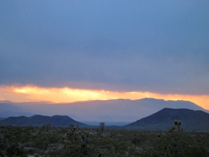 This evening's potential rain clouds are a bit creepy, but they create an awesome sunset!
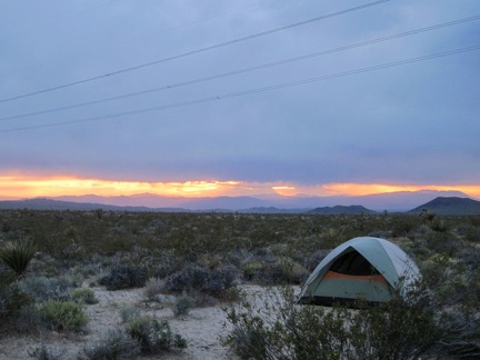 What's more scenic than a tent in a Mojave Desert sunset?
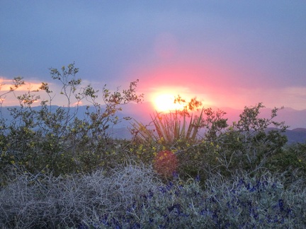 I catch a final glimpse of the ball of fire before it drops down behind the distant mountains
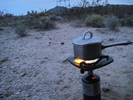 I boil water for tonight's add-water-to-bag meal, and then wind down and enjoy the food coma; it rains for a while later on!
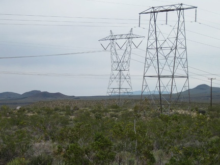 I approach the power lines and can see my tent in the distance at the left
 Back at my tent, dark clouds linger above me while sun illuminates the Kelso Mountains where I hiked a few hours ago
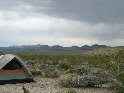 The dark clouds are looking rather serious
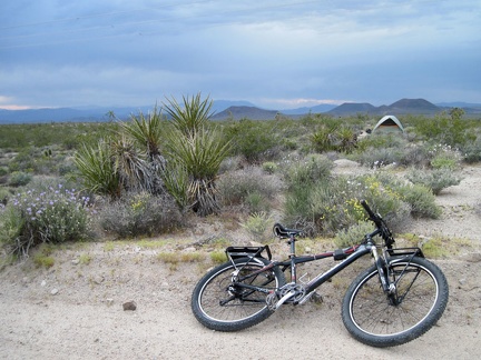 My rear wheel rubbed against the frame yesterday from time to time, so I take a look at the problem
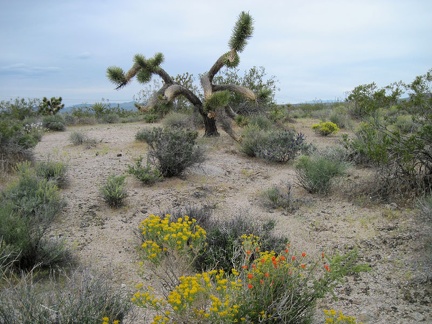 I've dubbed this as "my favourite joshua tree"
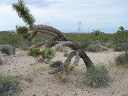 Another view of my favourite joshua tree
 Also growing in the gravelly area near the Kelso Mountains is a scattering of goldfields
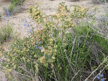 Blue delphiniums (Delphinium parishii) flowering near some yellowish hopsage (Grayia spinosa)
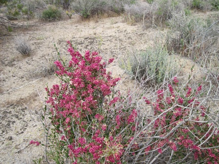 A short distance later, I notice another hopsage, this one with more mature inflorescences
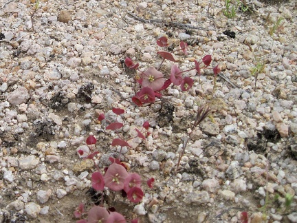 This tiny plant in a gravelly area reminds me of miner's lettuce; it's Oxytheca perfoliata (roundleaf puncturebract)
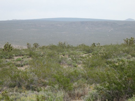 The gently curved crest of Cima Dome is visible in the distance from parts of this wash
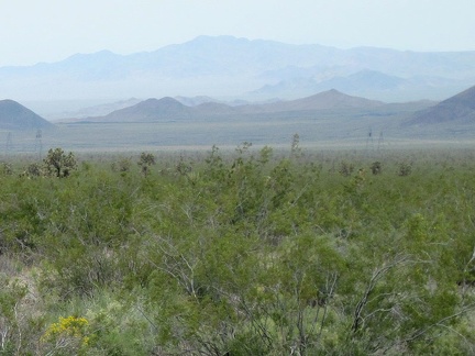 As the wash empties out onto the fan, the power lines are visible not too far away
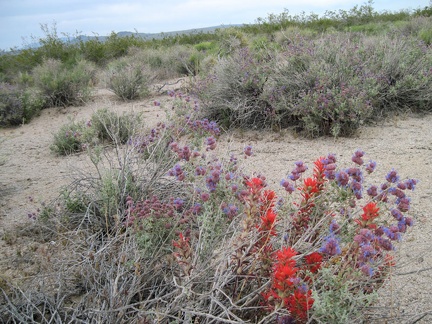 It's not just creosote bush everywhere here; Indian paintbrush flowers pop up through a purple desert sage
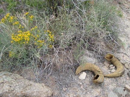 I start walking down a wash out of the Kelso Mountains and notice that someone has lost his horns
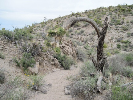 This wash leading down out of the Kelso Mountains turns out to be a small one
 Hey, it looks like someone has been sleeping here!
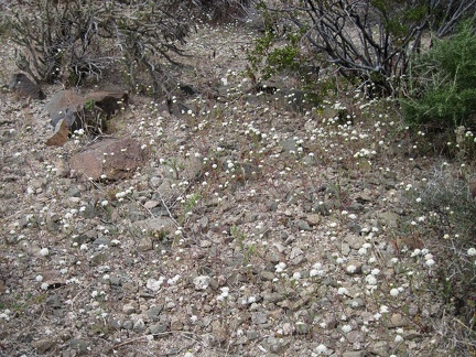 I've seen these little white flowers before, Fremont's pincushion, but this is the first patch of them I've seen today
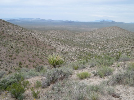 I hike over several hills before choosing a wash for descending back down toward my tent
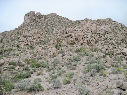 Looking back at the Kelso Peak hillside that I just descended
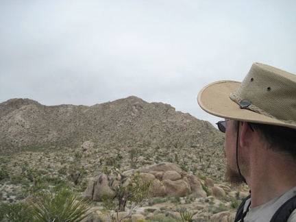 A bit further, I turn back to look at Kelso Peak again
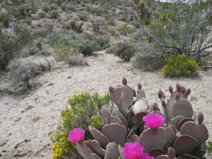 A few beavertail cactus blooms add a splash of colour to a slightly cloudy, olive afternoon
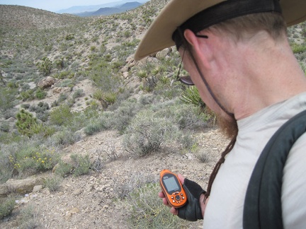 It's GPS time again; I want to hike a few different ridges on the way back to my campsite
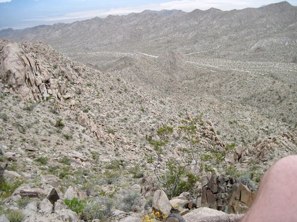 I descend a little further toward the drainage and realize that, yes, it should provide a better descent than my ascent route
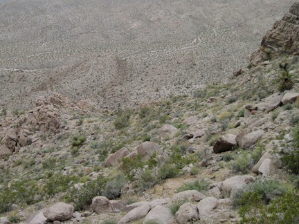 Easy does it, as I descend from the Kelso Peak ridge line
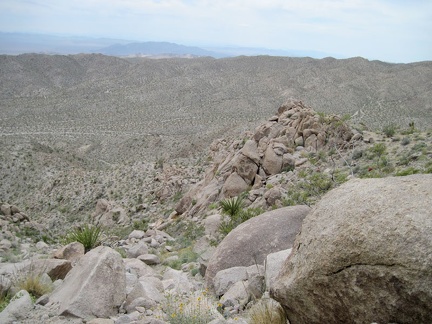 I've made it down to that next saddle well below the Kelso Peak ridge line, and it will all be easier from here
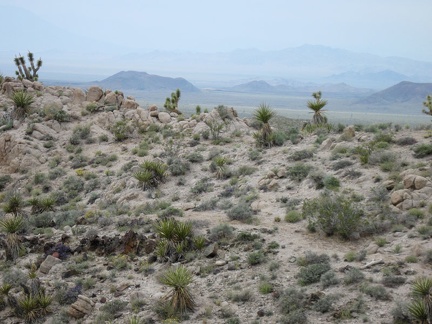 Now that I'm on one of the low ridges north of Kelso Peak, hiking seems so easy again!
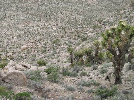 I start looking for a way back down from the Kelso Peak ridge line, preferably not following the same route I ascended
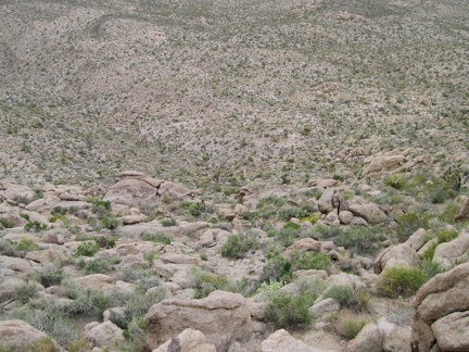 The larger rocks on this part of the Kelso Peak slope make for a descent with better footing than I had on the way up
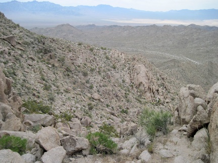 I zigzag across the slope, approaching a drainage that I identify on my GPS as a possible descent route
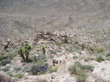 Looking down from the Kelso Peak ridge line past a few joshua trees and indigo bushes, I wonder how I made it up here!
 Vertigo man is fixated on how steep this is; I feel like a cat on a roof, not sure how to get back down
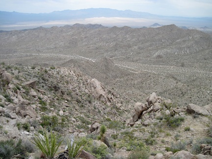 A few large rocks are blocking my ascent onto the ridge, so I slowly move across the slope in case there's an easy way up
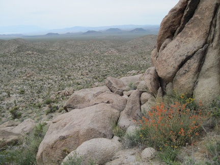 "So far, so good," I say to myself as I stop to enjoy a desert mallow and the views; I keep climbing
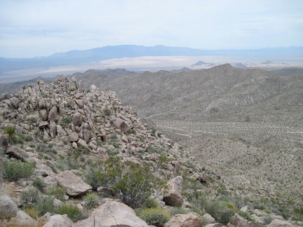 The views across Kelso Mountains toward the Kelso Dunes, and the Granite Mountains beyond, are inspiring
 I climb up to the Kelso Peak ridge line, using my hands at times, and realize that vertigo is setting in; a good place to rest
 Before I know it, I'm slowly on up way up the lower flank of Kelso Peak, with the cinder cones and my tent behind me
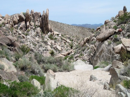 The rock formations in the upper part of this wash in the Kelso Mountains are quite interesting
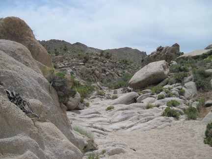 As I head toward Kelso Peak, it's clear from the smoothed rock in the wash that a lot of water passes here at times
 The wash fizzles out, and now I'm on the foothills of Kelso Peak
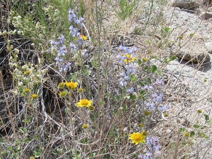 I pass a few desert larkspurs (Delphinium parishii) popping up through some yellow brittlebrush flowers
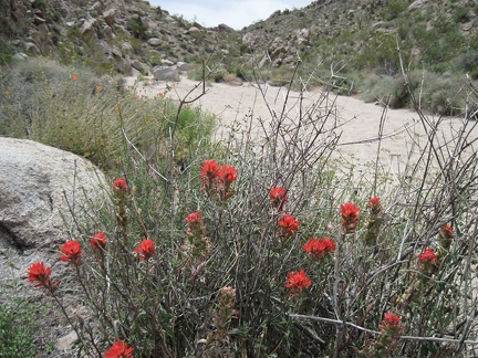 Brilliant Indian Paintbrush never fails to get one's attention!
 To my surprise, I come across a rather large guzzler installation in this wash in the Kelso Mountains
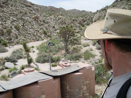 This guzzler system consists of three water-storage tanks and a small solar panel
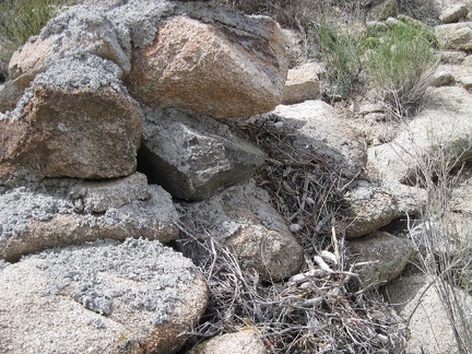 Someone has built a nest in the rocks near the guzzler
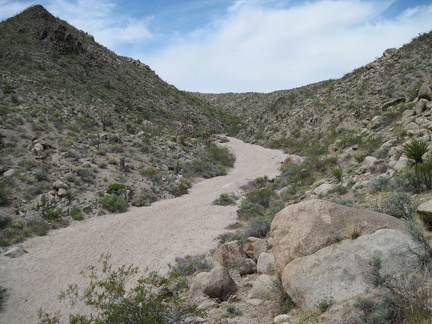 I arrive at the unnamed wash leading into the Kelso Mountains which I had targeted on my maps and GPS
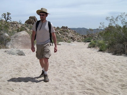 I climb down into the wash and start walking up into the Kelso Mountains
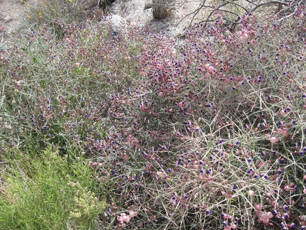 A big patch of paperbag bush (Salazaria mexicana) in the wash leading into the Kelso Mountains
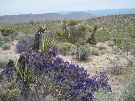 Looking behind me past a patch of indigo bush toward the Beale Mountains on the other side of Kelbaker Road
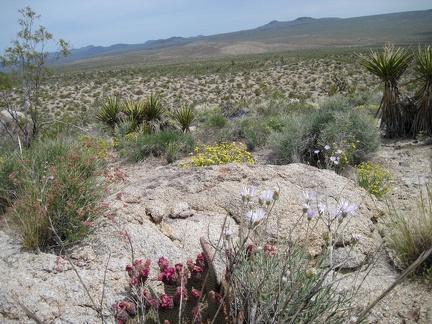 Another view behind me from a garden patch I'm passing through
 I pick up an animal trail leading toward Kelso Peak after the old 4WD road fizzles out
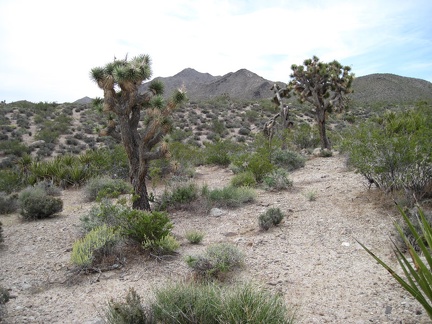 On the way to Kelso Peak, a few joshua trees are scattered across this area dominated by creosote-bush scrub
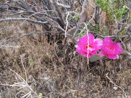 I start seeing the occasional Beavertail Cactus (Opuntia basilaris) in flower
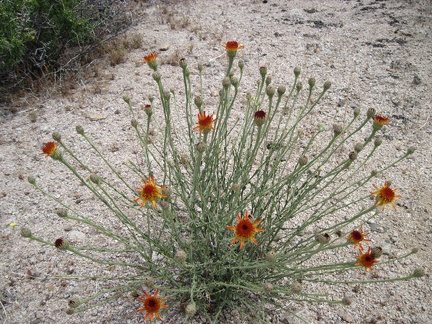 Here's one of the many yellow flowers that inhabit the Kelso Mountains area: Cooper Dyssodia (Adenophyllum cooperi)
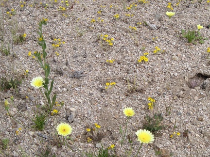 I hike past a small patch of yellow flowers, which seem to be goldfields (the tiny ones) and tidy tips, the larger ones
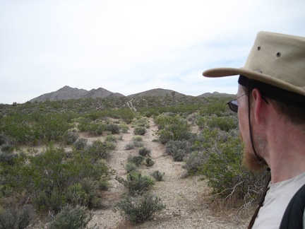 I hitch up with an old road (now closed in a Wilderness area) and follow it toward Kelso Peak
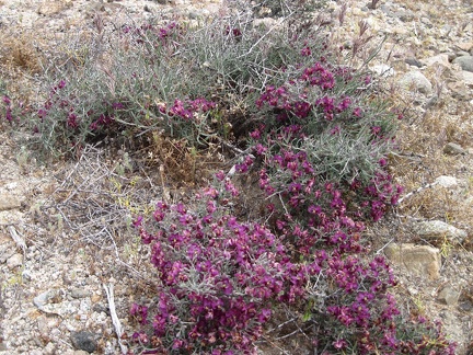 I've seen several of these so far today: probably Krameria erecta (Range Ratany)
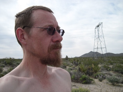 I wake up to slightly cloudy skies, which is more polite than the typical blazing sun that makes a tent uninhabitable after 7h30
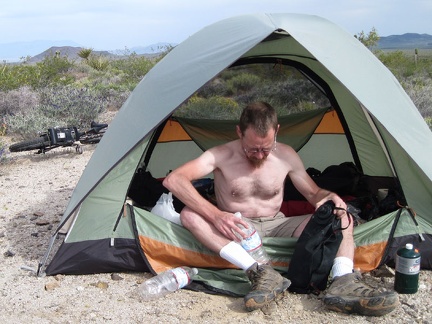 I refill my empty bottles from my water bag, have breakfast, and start out on today's hike across the fan to the Kelso Peak area
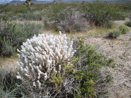 As I start hiking across the creosote-bush scrub, a fluffy winterfat bush (Krascheninnikovia lanata) catches my attention
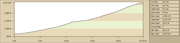 Baker to Kelso Peak powerline road elevation profile (Day 1)
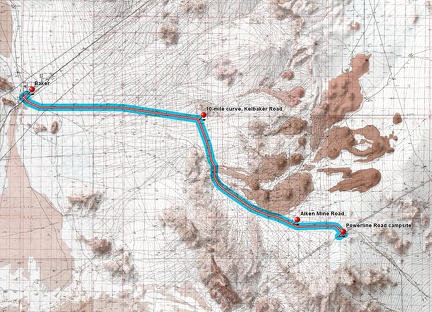 Baker to Kelso Peak powerline road route (Day 1)
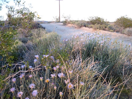 More Mojave asters along the powerline road near Kelso Peak
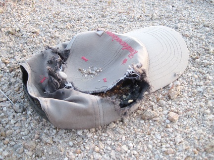 I chuckle when I find a Budweiser-decorated cap on the powerline road
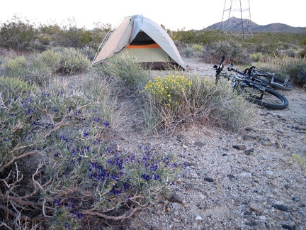 Indigo bush blooms near my tent close to the powerline road
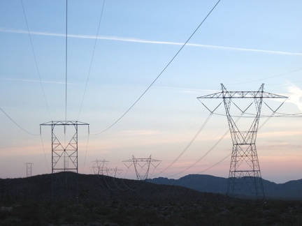 One of two major powerline routes that cut across Mojave National Preserve
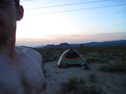 A nice sunset and views of the cinder cones end my first day of this trip
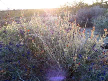 Orange desert mallow flowers and dark-blue indigo bush near my powerline-road campsite near Kelso Peak
 I think it's time to wash off the bits of salt that have formed on my face during the day's sweating
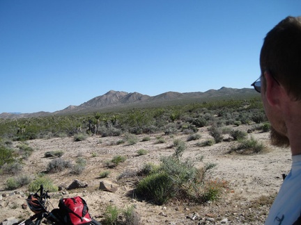 I stop at the Kelbaker Road summit and junction with the powerline road to look at Kelso Peak, tomorrow's hiking destination
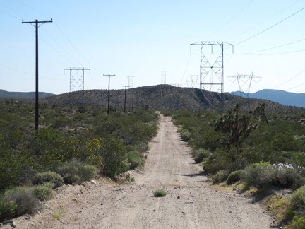 I ride down the powerline road a short distance and begin looking for a campsite; wow, the heat has really fried me today
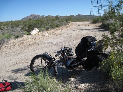 I park the 10-ton bike and go for a walk when I see some openings in the landscape that might make for a good campsite
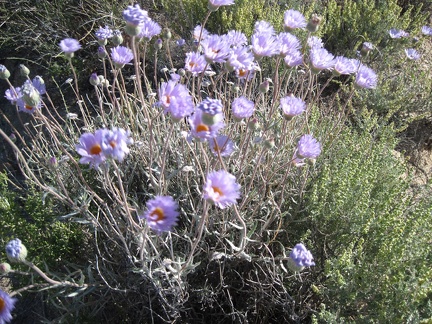 I set up my tent, then go for a walk; Mojave asters along the powerline road near Kelso Peak
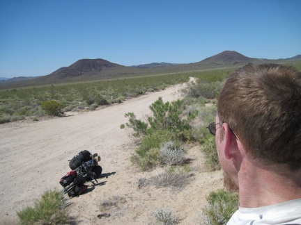 My next hot-and-sweaty break is an hour later at Aiken Mine Road, which leads off toward the cinder cones and the lava tube
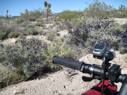 I take note of some blooming indigo bushes as I get closer to the powerline road
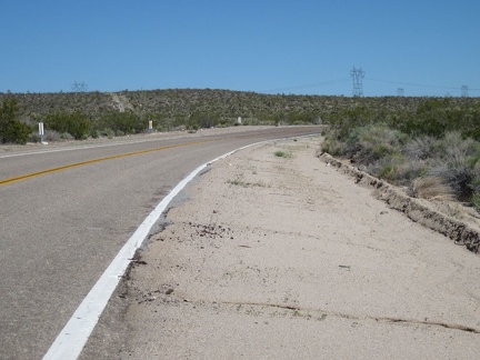 Just ahead of me, the power lines cross Kelbaker Road at about 3700 feet elevation; the powerline road is my goal for the day
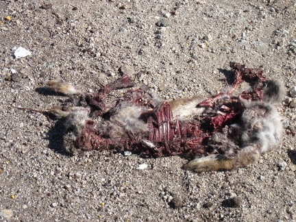 Riding around the bend toward the power lines at a blazing 6 miles per hour, I interrupt the supper of two vultures and a crow
 Looking behind me down Kelbaker Road, I've risen about 1500 feet over approximately 16 miles
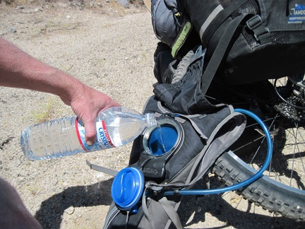 A bit further up Kelbaker Road, I stop again to refill my Camelbak, which has run dry again; any excuse for a break is good
 More desert senna blooms, and sweet scent, along Kelbaker Road
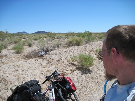 Oh look, my first balloon sighting of this Mojave National Preserve trip (that white thing)
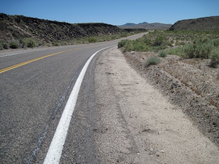 One of my favorite moments of riding up Kelbaker Road is when I reach the edge of the lava, at left, about 13 miles out of Baker
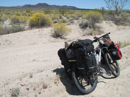 My next break along Kelbaker Road is near the road to the Rainy Day Mine site, with the cinder cones in the background
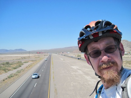 This morning, after breakfast buffet at the Big Boy, I ride the bridge over the freeway and enter Mojave National Preserve
 Once across the I-15 freeway on Kelbaker Road, this Mojave National Preserve trip is really starting
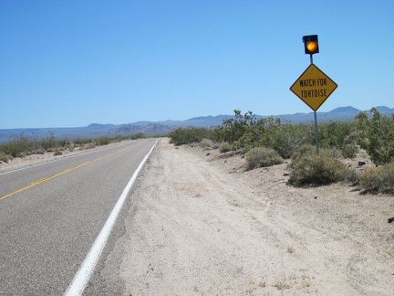 A few miles further up Kelbaker Road is the "watch for tortoises" sign; I still haven't seen one yet
 10 miles up Kelbaker Road out of Baker, I stop for a break at "the big curve," where the road turns almost 90 degrees
 A while after my break at Kelbaker Road's 10-mile curve, I pause as I pass the dirt road that leads down to 17-Mile Point
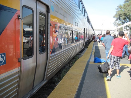 Yesterday, after an Amtrak bus ride from San José, an Amtrak train picked me up in Stockton, California
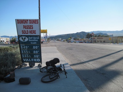 After the Amtrak train ride to Bakersfield, an Amtrak bus dropped me off at Baker, California late yesterday afternoon
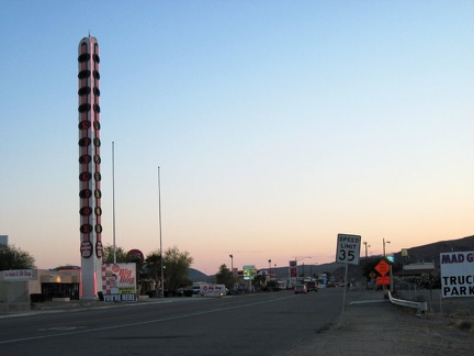 Last night's sunset at Baker, California, home of the world's tallest thermometer, was a pleasant pinkish glow
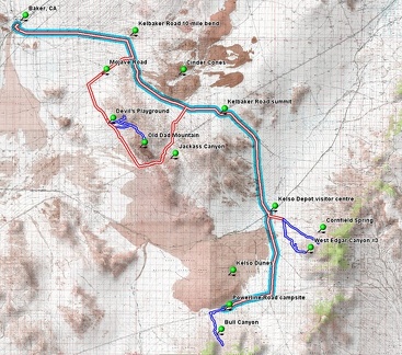 Map of Mojave National Preserve bicycle and hiking routes
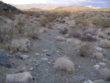 The open space at the bottom of Bull Canyon is easy to hike after all the dense brush and large rock in the upper canyon
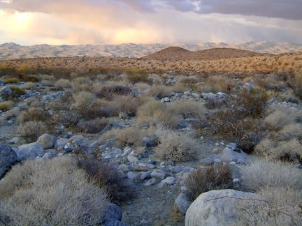 Thick clouds over the Kelso Dunes are picking up any yellow late-afternoon light that manages to get through the clouds
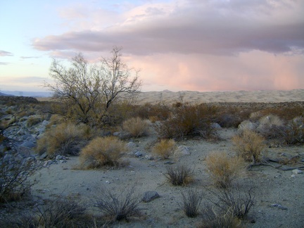 Almost back at the Kelso Dunes power-line road, with about 30 minutes of daylight left
 I catch the last vestiges of sunlight as I walk the final 1.3 miles down the power-line road back to camp
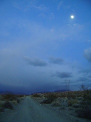 Full moon over Kelso Dunes power-line road at almost 17h; I'm back at camp by 17h20
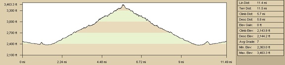 Elevation profile of Bull Canyon hike route from campsite on Kelso Dunes power-line road
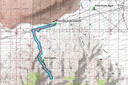 Bull Canyon hike route from campsite on Kelso Dunes power-line road
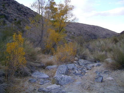 These yellow-leafed trees in lower Bull Canyon...
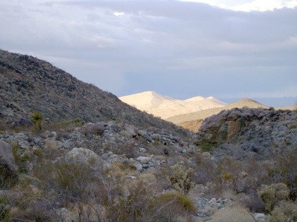 As lower Bull Canyon winds about, the "seam" of Kelso Dunes comes into view briefly, which I can also see from my camp
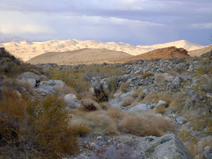 The last downhill-hiking mile or two on the fan above the dunes is an ankle-breaker with all the small rocks scattered about
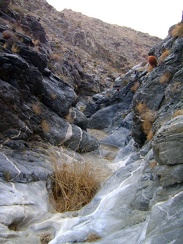 Time to pass through the Bull Canyon narrows again on the way back down
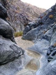 At the end of the Bull Canyon narrows, coming down
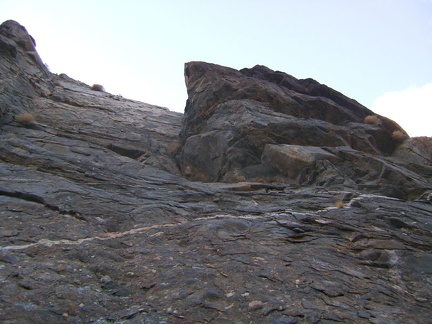 Up above me in the rock wall at my left is a protruding rock structure
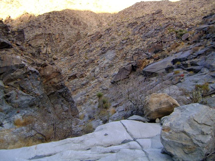 I take another detour to avoid a brushy area in Bull Canyon and now need to climb back down to the wash
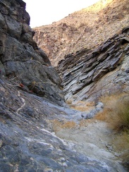 Heading downhill in Bull Canyon, Mojave National Preserve
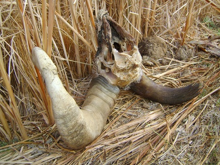 Horn-and-skull close-up
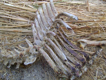 Ribs close-up
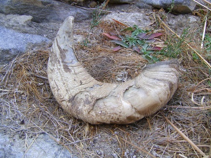 Nearby lays that second horn that somehow got detached from the skull
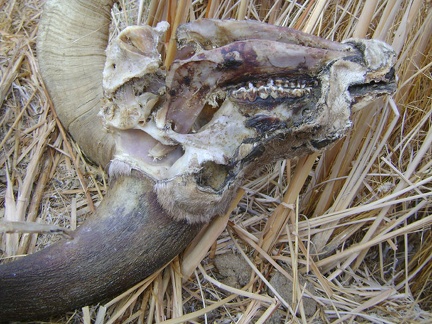 Skull close-up
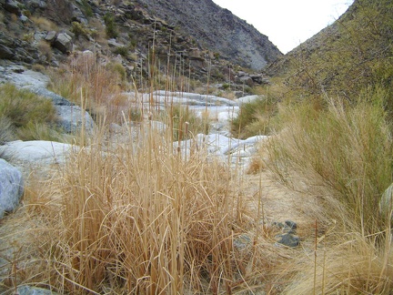 Dried cattails in Bull Canyon, Mojave National Preserve
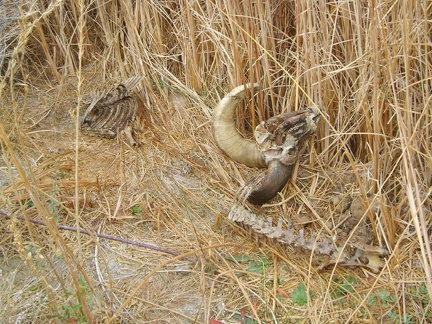 Another discovery in Bull Canyon!
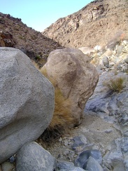 More rocks to avoid in Bull Canyon
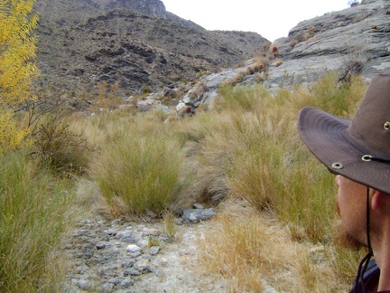 I'll try climbing a bit up the rocky ledge at my right to avoid another brushy area ahead in Bull Canyon
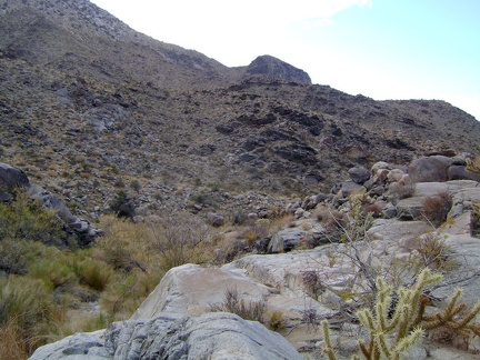 The rock ledge keeps me above the thick brush of Bull Canyon for a few minutes
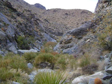 It's nice to be hiking Bull Canyon in the downhill direction now, instead of uphill
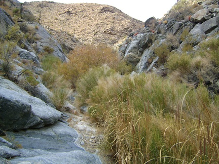 I bushwhacked through some of this brush on the way up Bull Canyon, so I'll do it again on the way back down
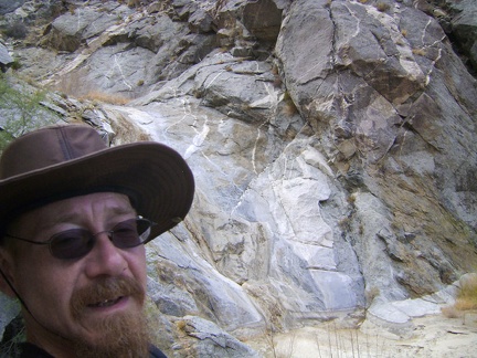 I take an energy-bar break up on a rock pile overlooking the Bull Canyon dry waterfall, at about 3450 feet elevation
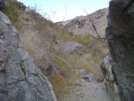 OK, time to start walking back down Bull Canyon, between a couple of boulders
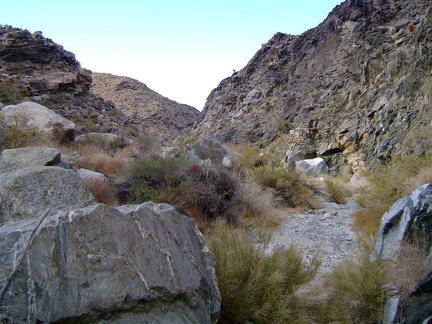 The lines and textures in Bull Canyon change constantly
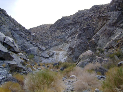 More rock ahead to climb over in middle Bull Canyon...
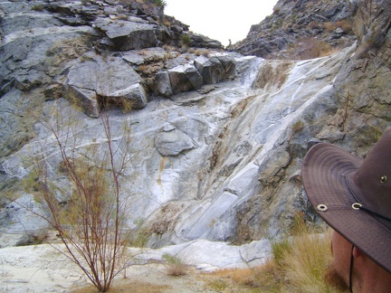 How cool, a little dry waterfall in middle Bull Canyon; it must be 15-20 feet tall
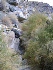 I'll get past this patch of rabbitbrush by walking up the rock steps at the base of the canyon wall
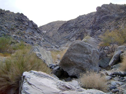 Walking through an open area in middle Bull Canyon
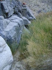 At times, an imaginary corridor along the canyon wall provides a best way to squeeze past heavy brush
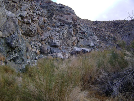 Ah, more rabbitbrush to get past in Bull Canyon!
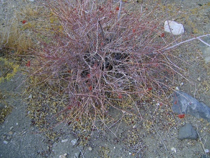 A few dried red buckwheat flowers from this past summer remain in Bull Canyon
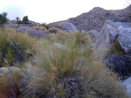 There is rabbitbrush to push through, and rocks to climb over, in this section of Bull Canyon
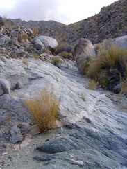 I like the exposed rock areas in Bull Canyon that allow me to get out of the brush for a few minutes
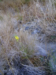 At this time of year when so many plants are going dormant, it's surprising to come across a lone yellow flower in Bull Canyon
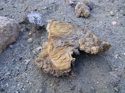 Gnarled root or trunk, probably from chilopsis linearis (desert willow), which seems to be the only tree in Bull Canyon
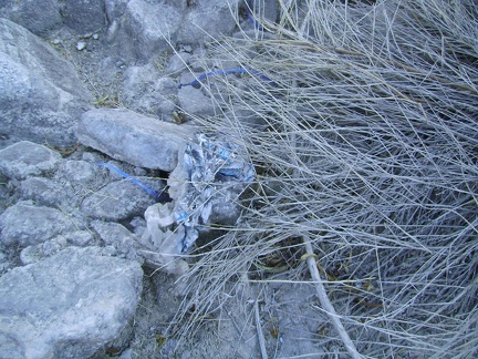 Even way out here in Bull Canyon, I again come across an old balloon; I doubt someone had a birthday party right here
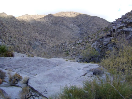 I climb over a granite platform as I head further up Bull Canyon
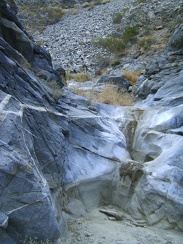 Another tiny dry waterfall and tinaja in Bull Canyon
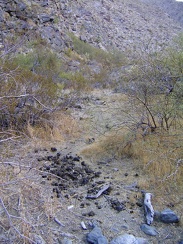 I stumble upon a big patch of fairly fresh scat in Bull Canyon
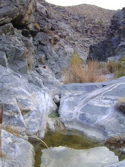 Water remains in this tinaja in Bull Canyon from the last rains
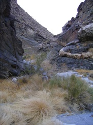 Bull Canyon winds around another interesting bend
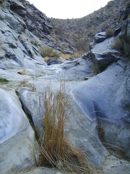 I step up another slick rock to the next level in Bull Canyon
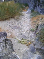 Coyote melon in Bull Canyon, Mojave National Preserve
 Walking up Bull Canyon, I pass through a short narrows
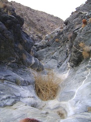 A tuft of grass grows in a tinaja (rock water basin) in the narrows in Bull Canyon
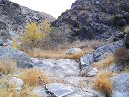 Bull Canyon widens a little after passing through the narrows
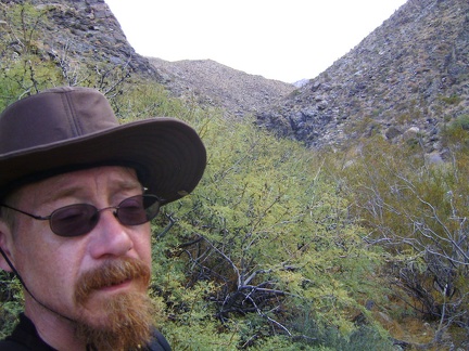 Looks like a bit of bushwhacking will be needed to get through this segment of Bull Canyon
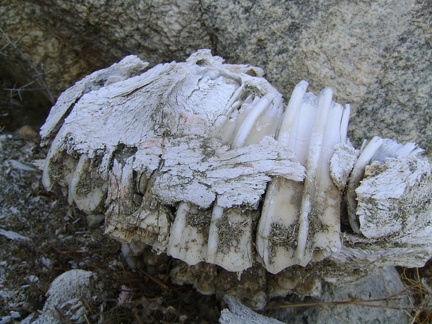 The teeth obviously outlast the supporting bone matter when subjected to decomposition
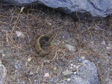 A horn fragment nearby
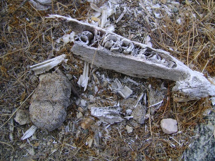 Another jaw fragment rests nearby
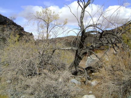 Another burned chilopsis linearis (desert willow) in Bull Canyon
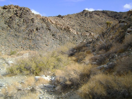 I finally start to enter the foot of the Granite Mountains in Bull Canyon
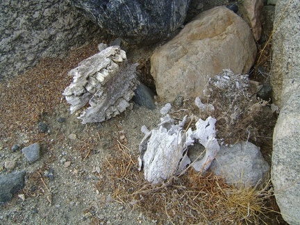 An interesting discovery!
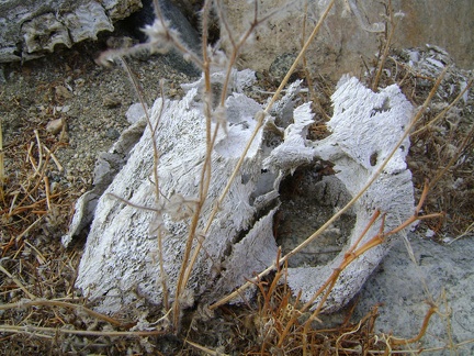 Skull close-up
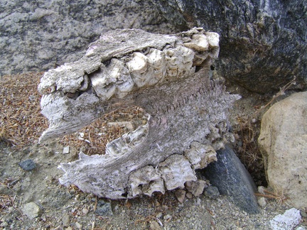 My, what big teeth you have!
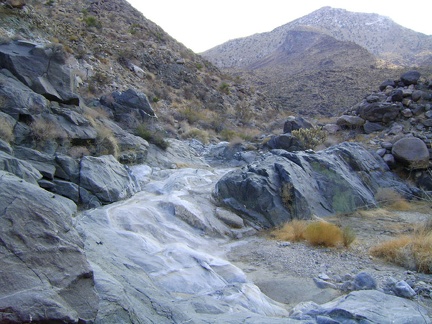 Seasonal streams have done a good job of polishing this rock bed in lower Bull Canyon, Mojave National Preserve
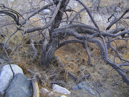 Burned desert willow (chilopsis linearis) in Bull Canyon wash, Mojave National Preserve
 Now that I'm about 1.25 miles up the rocky fan and 300 feet higher, the Kelso Dunes create a contrasty backdrop behind me
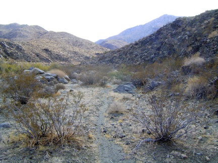 Approaching Bull Canyon, I'm happy when I stumble upon an animal trail like this one, to help me navigate the rocky terrain
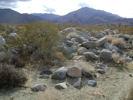 Looks like I may have a rocky hike ahead me up into Bull Canyon, the gap in the middle of the two big hills
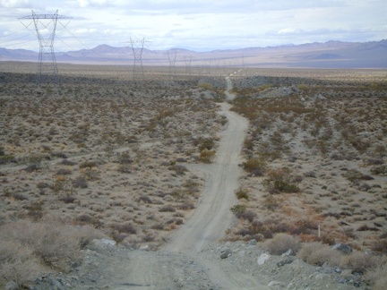 Heading down the other side of the power-line road is almost as steep as it was coming up
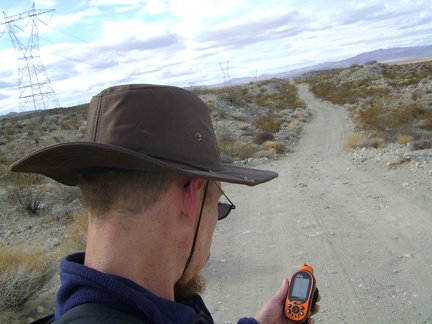 A GPS check tells me that I can turn left anywhere here and start hiking up the fan to the mouth of Bull Canyon
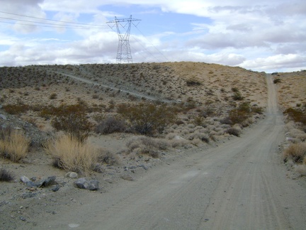 The power-line road heads straight up a really steep grade ahead, but a detour to the left offers an easier way over the hill
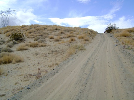 The short, sandy hill on the power-line road is really steep, rising at about 15% grade, with poor traction
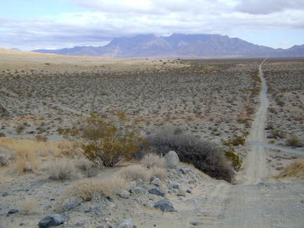 Looking back down the power-line road hill that I just walked up, toward the Providence Mountains
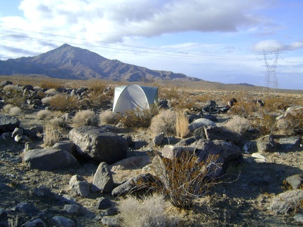 On the other side of my tent are the Granite Mountains, with the mouth of Bull Canyon, today's hike, in front of the hill
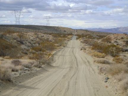 The hike begins with a 1.3 mile walk on the power-line road west of Kelso Dunes, which soon becomes quite sandy
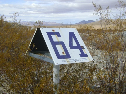 This road also serves as access to a gas pipeline, as evidenced by "marker 64" here
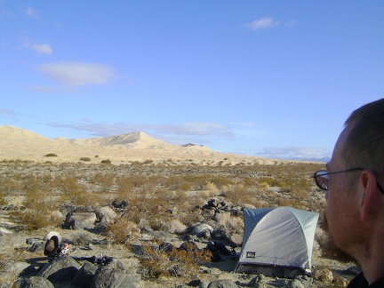 A brisk sunny morning on my camping mound with a view of Kelso Dunes
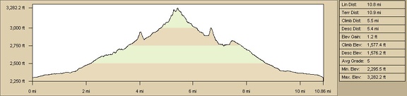 Elevation profile of hiking route to Rex Mine and West Edgar Canyon #3 from Cornfield Spring Road campsite
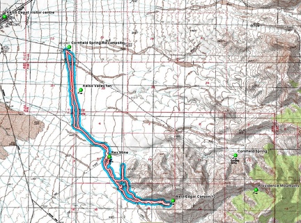 Hiking route to Rex Mine and West Edgar Canyon #3 from Cornfield Spring Road campsite, Mojave National Preserve
 Hiking by flashlight on the fan east of Kelso amidst small rocks and small cacti
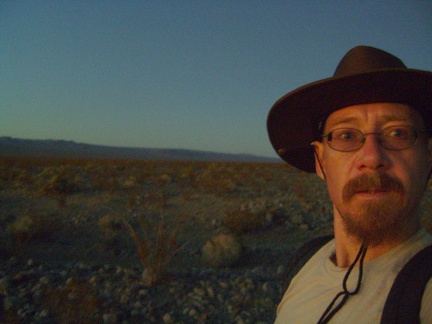 It's 17h and already dark; I'm not an early-riser (I wish I could be), so I really dislike the short days at this time of year!
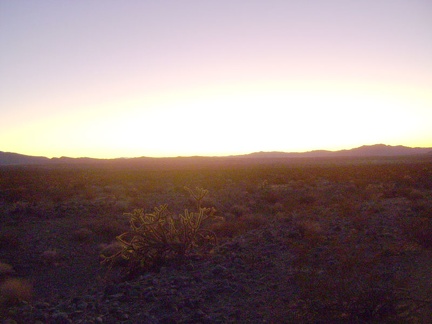 The very last light of day illuminates a cholla cactus while it dissipates in the distance somewhere west of Kelso Dunes
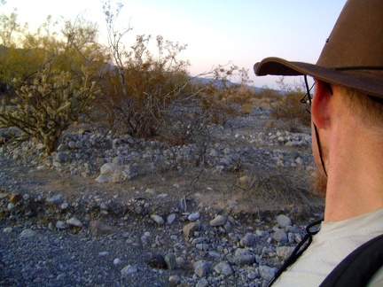 It's dusk and I'm hiking across the Kelso Valley fan back to my tent
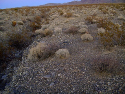 This narrow drainage is easy to cross, even at dusk, but there are a few deeper, wider ones to cross
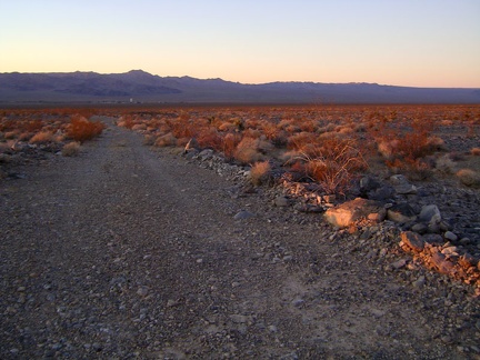 Heading down Rex Mine Road toward Kelso, a glimmer of red sunset light remains
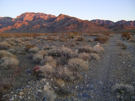 Looking behind me yet again (I can't stop!), there's still a fading pinkish glow on the Providence Mountains
 I reach a point on Rex Mine Road where I decdie to start hiking across the fan back to my campsite on Cornfield Spring Road