Home 7119

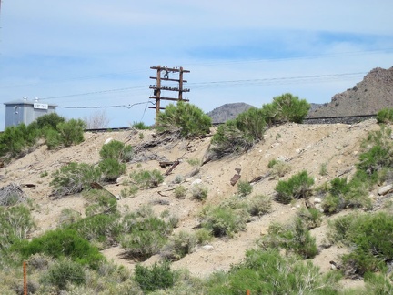 From what I can tell, Brant siding has been moved down the road since the time that the maps I'm consulting were made
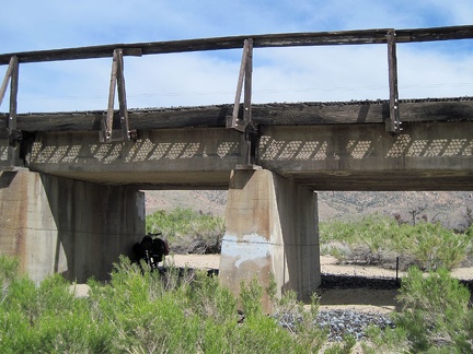 The 10-ton bike takes a break for a few minutes under the train tracks on the road leading up into the New York Mountains
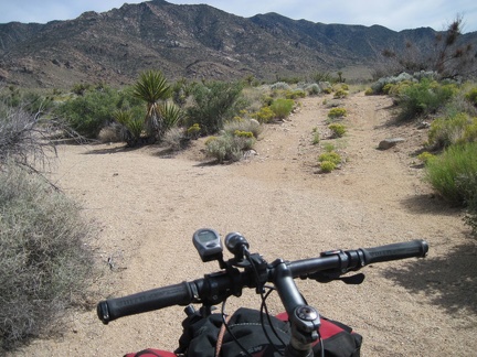 After I walk the bike through the sandy area under the bridge, the road rises up to a somewhat firmer surface
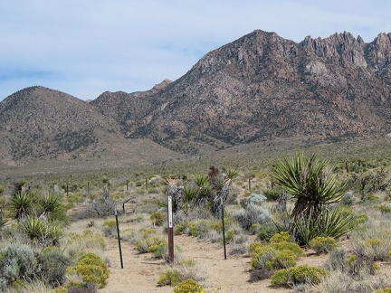 I pass some Wilderness markers blocking an old road on my way toward the New York Mountains
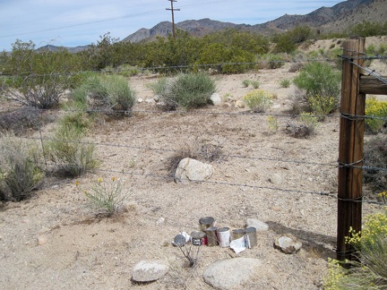 I come across a collection of cans along Brant Road
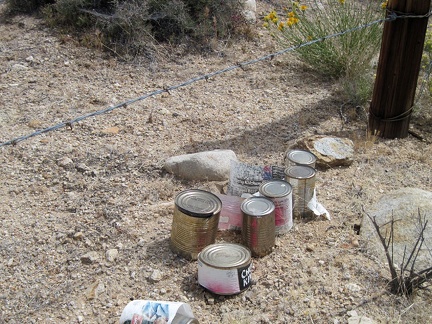 The cans are all food cans; full, upright, different from each other, and only slightly weathered: could this be a food cache?
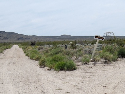 Just beyond the food cache on Brant Road is a small intersection and a sign declaring "Lawler Lane"
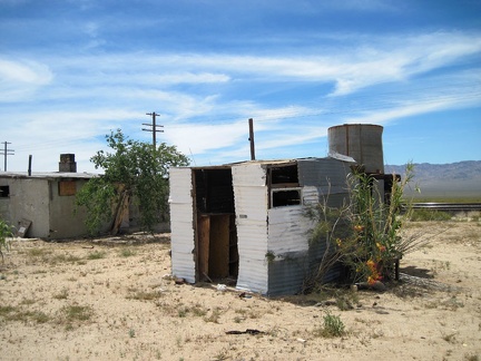 Another shed behind the old house at Ivanpah, Mojave National Preserve; let's take a look inside
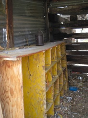 Inside this tin-clad shed at Ivanpah is an old set of shelves
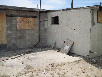 Someone has removed a board from a small window on the back side of the old house at Ivanpah, Mojave National Preserve
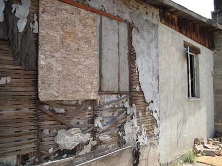 Next to the crumbling exterior of the add-on at the rear of the house at Ivanpah is an open window
 I take a peek inside the open window at the abandoned house at Ivanpah, Mojave National Preserve
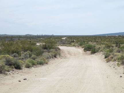 I remount the 10-ton bike, cross the tracks, and get back on the dirt road (now called Brant Road on some maps)
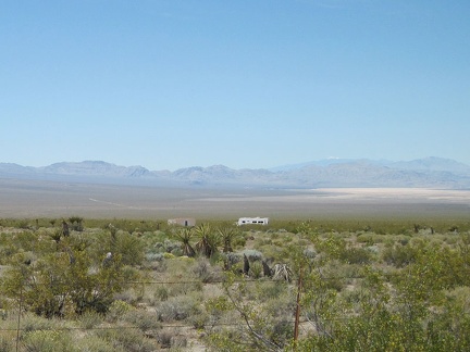 Across the Ivanpah Valley creosote bushes, I see an old trailer and what looks like a garage
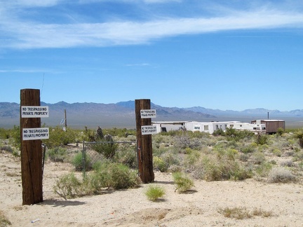 The road leading into the property is marked with fairly fresh "no trespassing" signs, but the gate is open
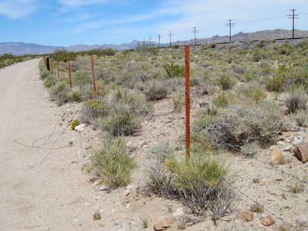 I continue riding up Brant Road and notice that a section of the barbed-wire fence along the tracks has been cut
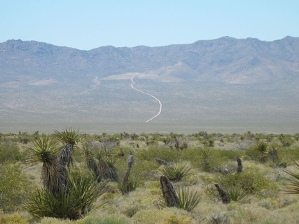 On the far side of Ivanpah Valley, I can see a distant dirt road squiggling up into the Ivanpah Mountains
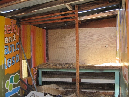 One of the outbuildings at the Ivanpah house is clad with plywood from a sign that once advertised a "ranch resort"
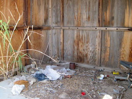 Another outbuilding at the Ivanpah property contains recent fabric and clothing remnants
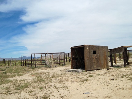 Old corrals and a decaying outbuilding at Ivanpah, Mojave National Preserve
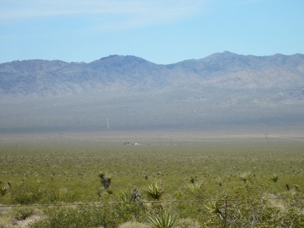 To the west, down in Ivanpah Valley, sits reclusively a lone habitation
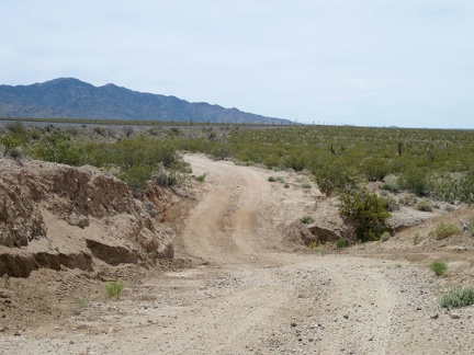 Nipton-Moore Road is mostly straight and almost flat, but it occasionally dips down to cross drainage washes
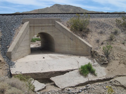 Large culverts beneath the raised train tracks in Ivanpah Valley prevent the tracks from washing out during heavy rains
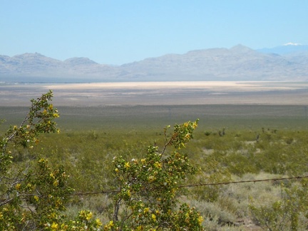 Yellow creosote bush flowers, barbed wire, Ivanpah Dry Lake, and that white peak in the distance
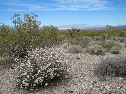 I'm also just high enough now above Ivanpah Valley to see a few flowers in addition to the creosote-bush scrub
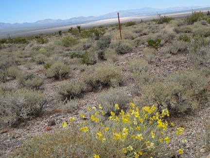 Some yellow flowers add to the predominately dull-green landscape
 Another freight train passes by as I ride up Nipton-Moore Road, Mojave National Preserve
 This train is hauling an endless number of tanks of a presumably deleterious substance
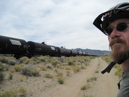 I'm happy to see this train and its cargo pass by quickly on its way toward Los Angeles
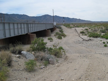 Nipton-Moore Road dips down to cross another drainage area just before it arrives at the paved Ivanpah Road
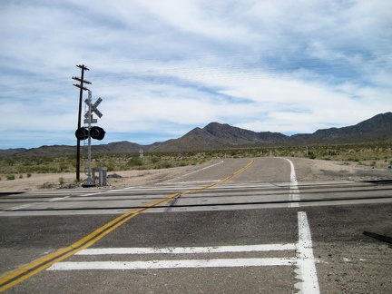 I've reached the pavement of Ivanpah Road, cross the tracks, then ride over to the abandoned house nearby
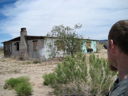 I park the 10-ton bike against the old house on Ivanpah Road and go for a walk around the property
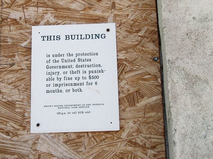 Today, the valuable historic house at Ivanpah is an attractive nuisance, too close to paved roads travelled by bums and thugs
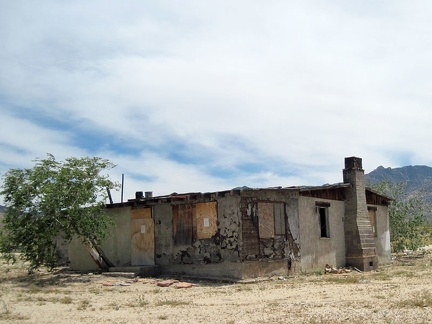 View of the rear of the old house at Ivanpah, Mojave National Preserve
 I enjoy the morning shade at Nipton; it makes packing up so much easier
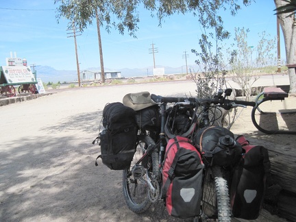 I roll the packed bike up to the store at Nipton and stop in for another bottle of iced tea before I leave
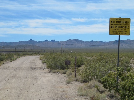 The day's travels begin as I ride south on Nipton-Moore Road, a dirt road that hugs the Ivanpah Valley train tracks for miles
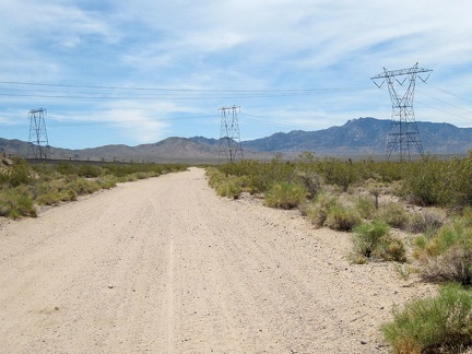 After close to three miles, I approach the power-line road that crosses Ivanpah Valley
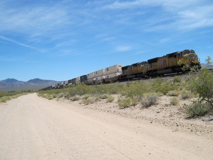 This route across the Mojave Desert gets a lot of freight-train traffic
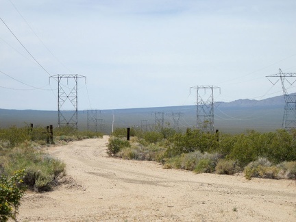 I take a look at the power-line road that heads southwest across the Ivanpah Valley
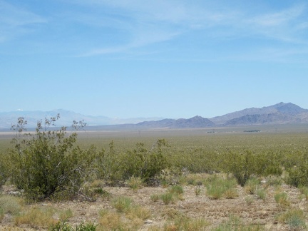 About six miles down Nipton-Moore Road, near Moore siding, I look back and still see Nipton in the distance (the green patch)
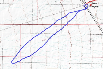 Ivanpah Valley sunset hike route from Nipton
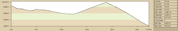 Malpais Spring, Mojave National Preserve to Nipton bicycle route elevation profile
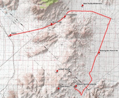 Malpais Spring, Mojave National Preserve to Nipton bicycle route
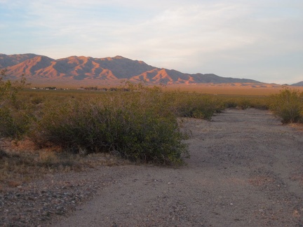 A glance back toward Nipton, two miles away, reveals pink-orange hills
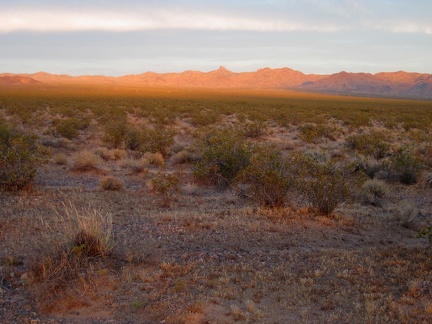 The orange glow cast across Ivanpah Valley hits the Lucy Gray Mountains in Nevada, just north of Nipton
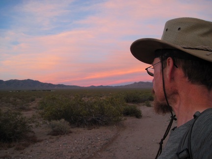 I still have another mile ahead of me before I reach the city lights of Nipton, and my tent
 Pink-orange stripes crown the New York Mountains on the southeast side of Ivanpah Valley
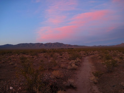 It's getting darker (and redder) by the minute as I follow a small drainage in the creosote-bush scrub on the way back to Nipton
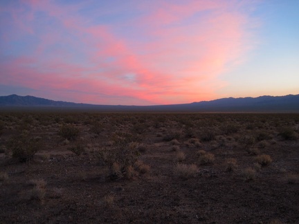 Mojave National Preserve sunset looking up Ivanpah Valley toward the Cima Dome area
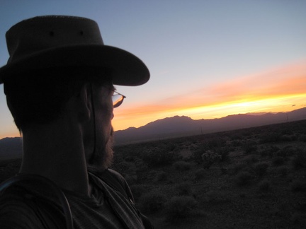 The end of sunset behind the Clark Mountains, viewed from Ivanpah Valley, produces a nice yellow glow
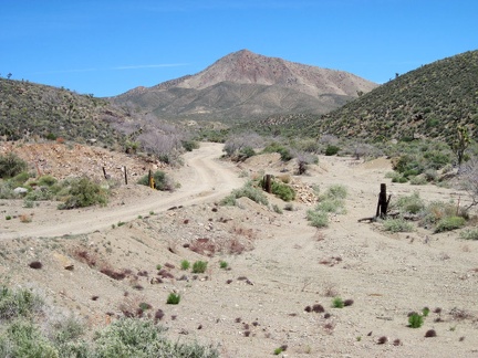 I take a break from speeding down Nevada 164 toward Nipton to look at a dirt road that leads into the hills
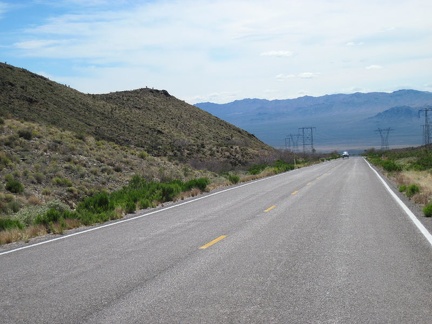 I continue zooming down Nevada 164 toward Nipton, California: miles of excellent downhill riding
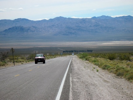 My eight miles of zooming downhill on the highway is about to end as I arrive at Nipton, that tuft of trees a mile or two ahead
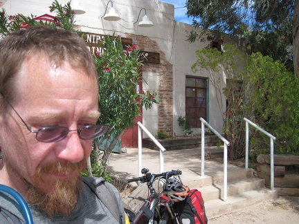 At the Nipton store, I check in for another night of tent camping, chat a bit, and buy some beer and salty potato chips
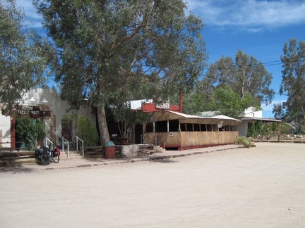 I'm looking forward to a big meal at the Nipton café in a few hours, the building next to the store with the big covered porch
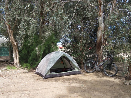 I set up the tent in the shade of Nipton's eucalyptus trees by the train tracks, like I did a few days ago
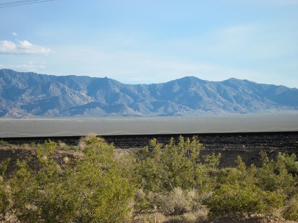 After a filling steak supper at the Nipton café and some socializing, I look across the train tracks; time to go for a walk
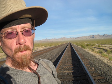 I cross the train tracks at Nipton for a short sunset hike (four miles round-trip) and enter Mojave National Preserve again
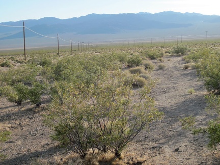 Walking westward through the creosote bushes of Ivanpah Valley, I find myself between two power lines
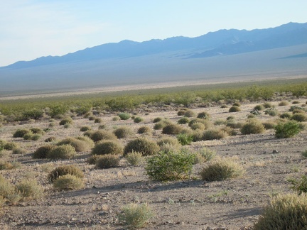 Most of Ivanpah Valley is dominated by creosote bushes, but here I pass through an area of small rounded shrubs
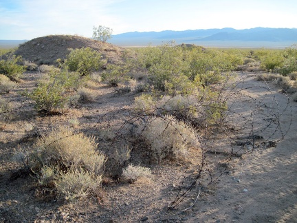 I pass two small hills that seem out of place in the wide-open Ivanpah Valley, and a pile of old barbed wire
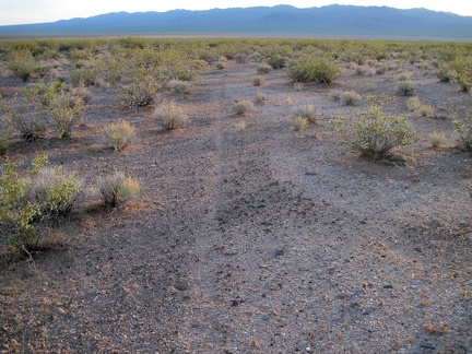 I pick up an animal trail through the creosote-brush scrub as I head down into Ivanpah Valley
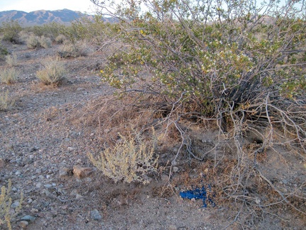 I discover an abandoned, deflated balloon under a creosote bush in Ivanpah Valley, not far from Nipton Road
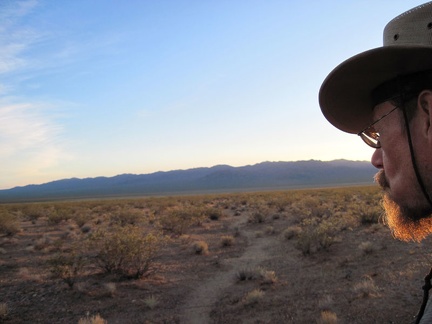 The sun is dropping and the first glimmers of sunset in Ivanpah Valley are hitting my beard
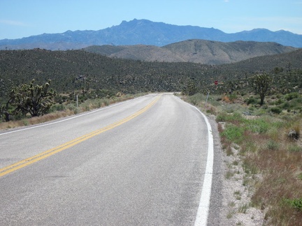 The eight-mile downhill to Nipton on Nevada 164 begins!
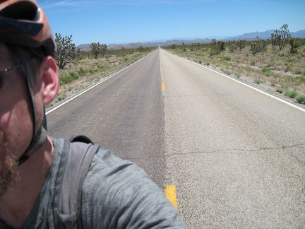 I begin the gentle 900-foot climb up Nevada 164 between Searchlight and Nipton
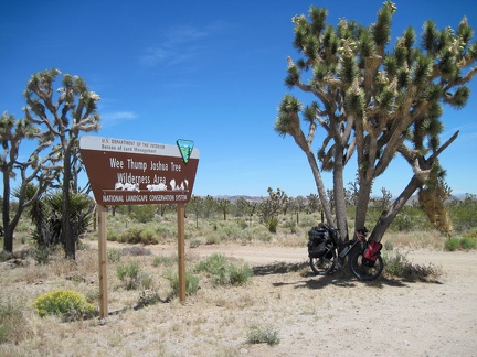 I make a stop at one of the Wee Thump Wilderness signs along Nevada 164
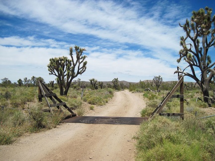 Near the Wee Thump Wilderness sign is an old dirt road that leads inland toward the McCullough Mountains
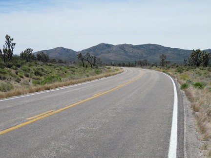 After my break, I continue riding up Nevada 164 toward Crescent Peak
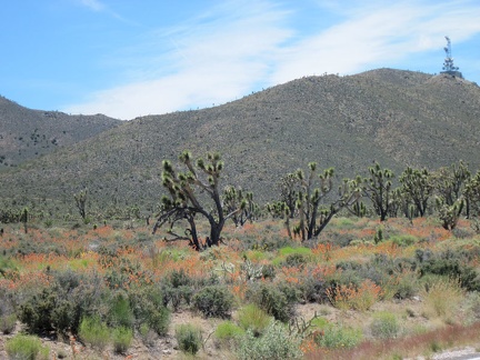 As I climb Nevada 164, I enter the land of desert mallows and joshua trees
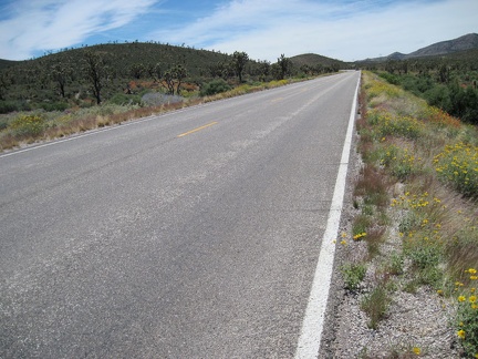 Yellow desert marigolds decorate the shoulders of Nevada 164 east of Crescent Peak
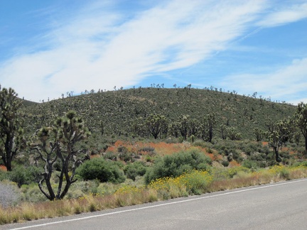 The south side of Nevada 164 is very much alive
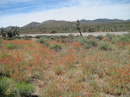 I park the 10-ton bike and go for a walk in the desert-mallow field along Nevada 164
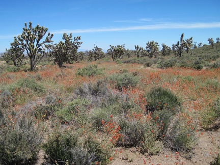 Orange desert mallows bloom amongst the mature joshua trees across the road from Nevada's Wee Thump Wilderness
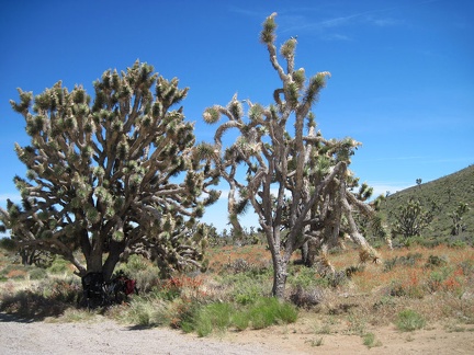 Joshua trees grow quite slowly, so these big trees here along Nevada 164 must be quite old
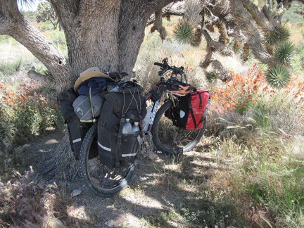 The trunk of this joshua tree near Crescent Peak on Nevada 164 is thicker than most
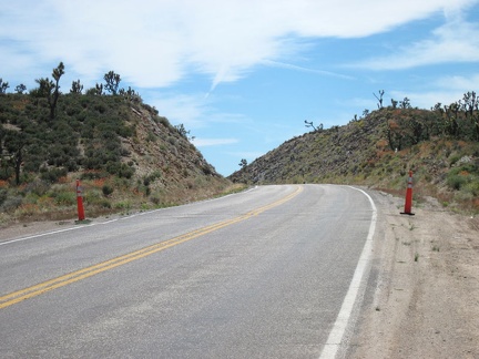 Back on Nevada 164, I cross Crescent Pass at about 4850 feet elevation, my high point of the day
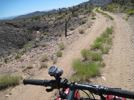 All packed up, I ride down the dirt road away from my Malpais Spring campsite
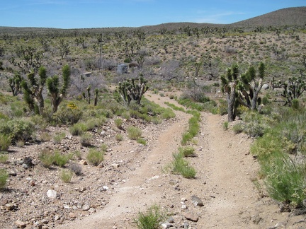 About a mile down the road from my campsite, I approach the defunct water tank and windmill of Stagecoach Well
 I stop at Stagecoach Well when I hear a rubbing sound and, yes, my rear wheel is rubbing against the bike frame again
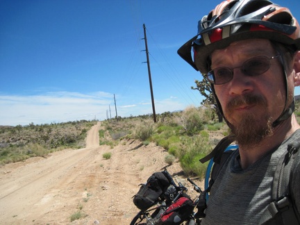 I arrive back at the "main road," Walking Box Ranch Road, and begin the 11-mile ride to the Nevada 164 highway
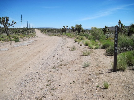 After a mile, I pass the "stateline" sign on Walking Box Ranch Road; I'm leaving California and entering Nevada
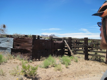 I stop briefly at an old corral behind which is an alternate old road leading to Malpais Spring
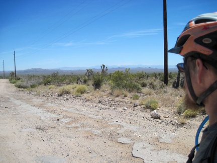 Residual pavement exists here and there on Walking Box Ranch Road
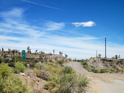 I pass the shot-up 5-mile marker on Walking Box Ranch Road
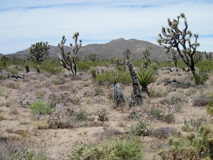 A field of pinkish-white buckwheat flowers in the joshua tree forest on the west side of Walking Box Ranch Road
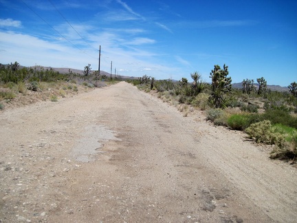 A few more miles to go on Walking Box Ranch Road
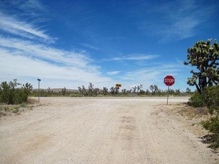 Stop sign in the desert: after 11 dirt-road miles, I reach the end of Walking Box Ranch Road
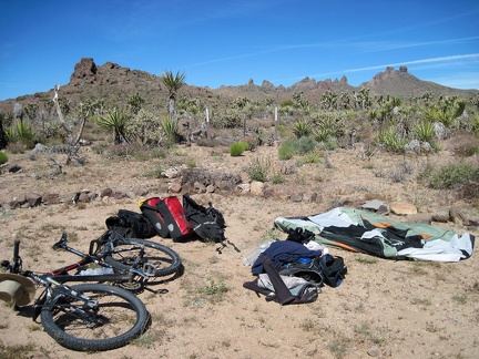 Time to pack up and leave Malpais Spring; it has been a great three nights here and I didn't encounter any other visitors
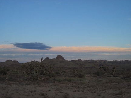 At sunset, I watch the sun go down and take dozens of photos to see what I get
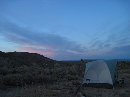 Feathery pinks and blues dust the sky looking northeast
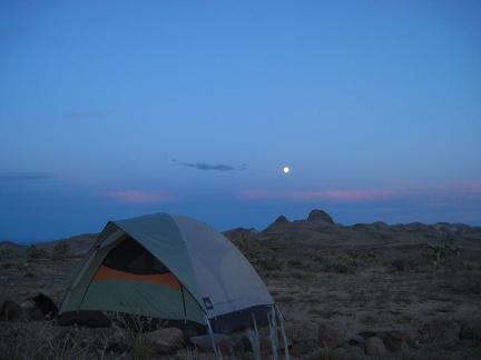 The sun has departed and the full moon is up; looking forward to a moonlit evening after a great day
 Elevation profile of Juniper Spring day hike from Malpais Spring, Mojave National Preserve
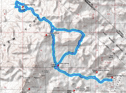 Juniper Spring day hike route from Malpais Spring, Mojave National Preserve
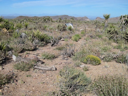 A third of a mile later, I arrive back at my campsite near Malpais Spring
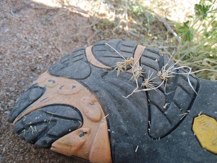 Quite a few thorns, probably from cholla cacti, are stuck to the bottom of my shoe and need to be removed (carefully)
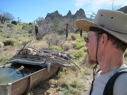 Back at Indian Spring for the second time today
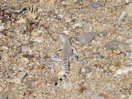 I manage to photograph this zebra-tailed lizard near Indian Spring before he scurries away
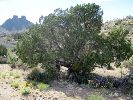 Yellow desert marigolds and purple desert four o'clocks grow by this juniper near Indian Spring, New York Mountains
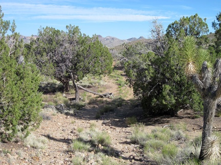 I pass through one of the last groves of junipers on the way back down Indian Springs Road to my campsite
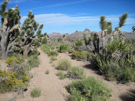 A little further down Indian Spring Road, the junipers fade out, replaced by a fairly dense joshua tree forest
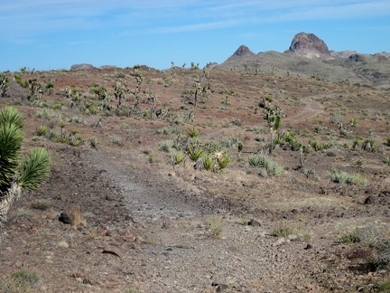 I pass through "the barren area" again while returning to camp on Indian Spring Road
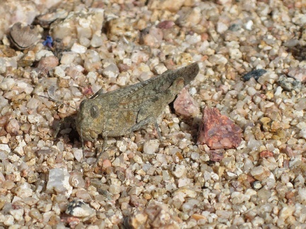 I spot some kind of grasshopper in the gravel
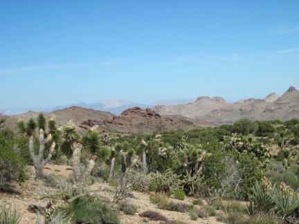 The mile-long hike from Vanderbilt Peak pass to Indian Spring rolls gently up and down across drainages
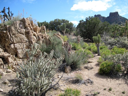 I cross several small washes while hiking the plateau on the way to Indian Spring
 I follow the rockier stretches on the way up to the Vanderbilt Peak pass for better traction
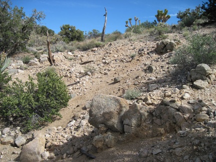 The pass by Vanderbilt Peak lies just ahead
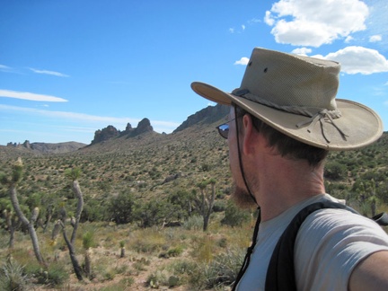 Now that I'm on the pass by Vanderbilt Peak, I have views southwest across the Indian Spring plateau to Castle Peaks
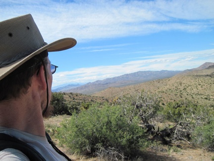 In the northeast from Vanderbilt Peak pass, I can see over to Nevada's McCullough Mountain
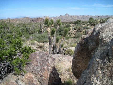 My next stop will be Indian Spring, to refill my water supply
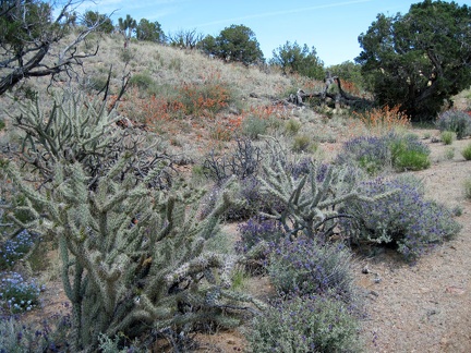 Plenty of cholla cactus also lives in Juniper Spring wash
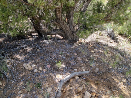 Fresh juniper berries
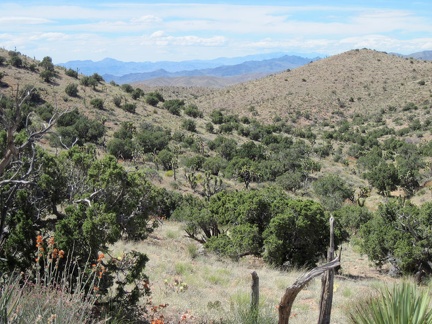 I leave Juniper Spring wash below, and start climbing up a hill toward the Vanderbilt Peak area
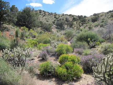 I head up toward a saddle near Vanderbilt Peak behind the tree at upper left
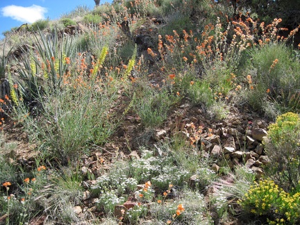 A garden of Prince's plume and desert mallows grows in the rock on the way up to Vanderbilt Peak
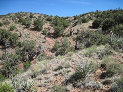 Approaching the pass near Vanderbilt Peak, straight ahead
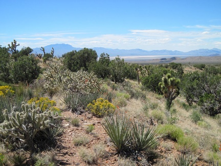 From the hill above Juniper Spring are nice views across Ivanpah Dry Lake with the Clark Mountains to the left
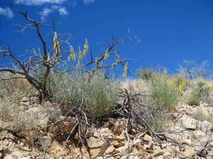 I pass a couple more clumps of Prince's plume (Stanleya pinnata) on the way over the hill to Juniper Spring wash
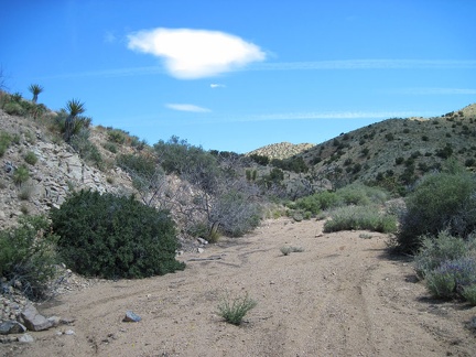 I start the walk back up Juniper Spring wash
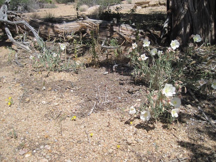 A patch of Evening primrose grows adjacent to a juniper tree
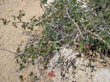 Rhus trilobata is common in many desert washes like Juniper Spring wash
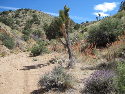 Some stretchs of Juniper Spring wash are quite colourful
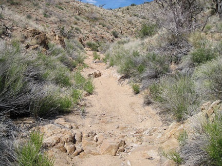 Slowly, Juniper Spring wash rises; easy hiking
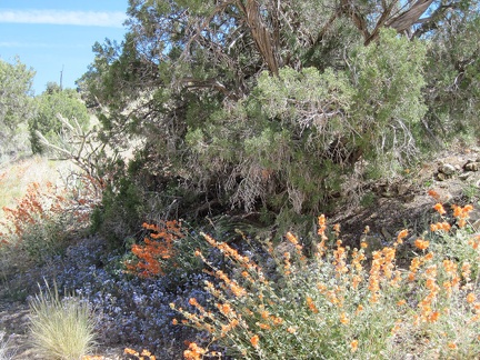 I take a short break in an area with scattered flowers and junipers
 Purple sage in the foreground and bluer phacelias under a juniper tree
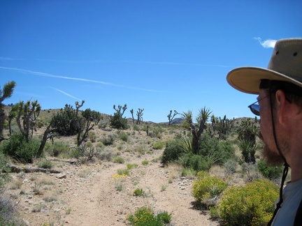 I start walking up Juniper Spring Road
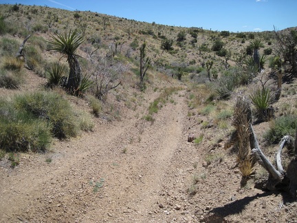 Juniper Spring Road rolls up and down in the New York Mountains foothills
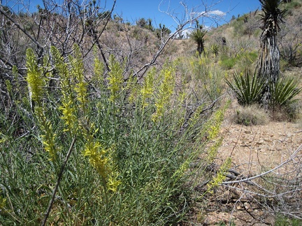 Some Prince's plume (Stanleya pinnata) grows in the area of Juniper Spring, Mojave National Preserve
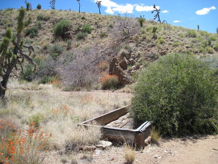 Juniper Spring, Mojave National Preserve; it's dry
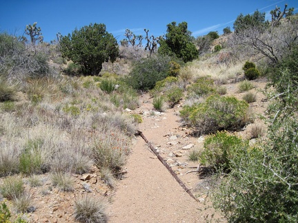 Near the dry Juniper Spring trough is a pipe leading up a wash
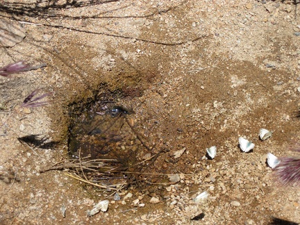 The pipe from the dry Juniper Spring trough leads me up to what may be the smallest pool of spring water possible
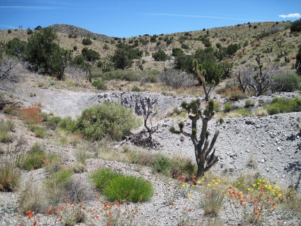 Near Juniper Spring are a few small piles of tailings
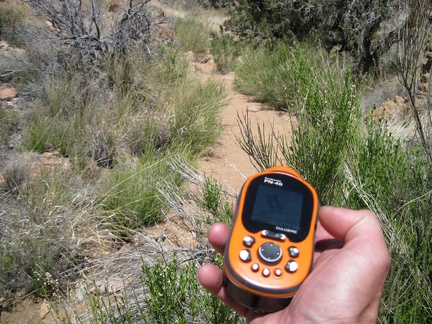 I decide to return to the Juniper Spring wash I descended for the return trip after considering other routes
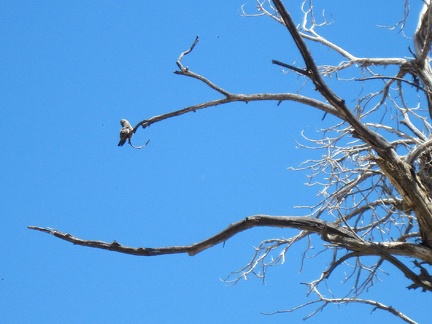 A preening bird in a tree above me seems oblivious as I walk up the narrow wash
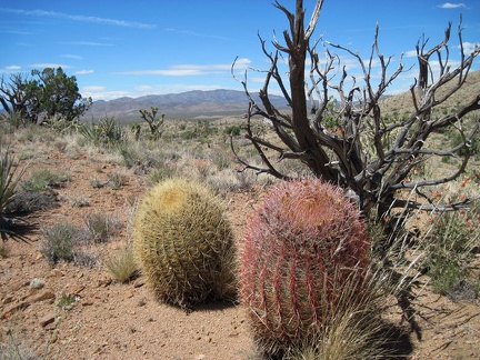 To get back to Juniper Spring wash, I climb over a hill with views across Ivanpah Valley
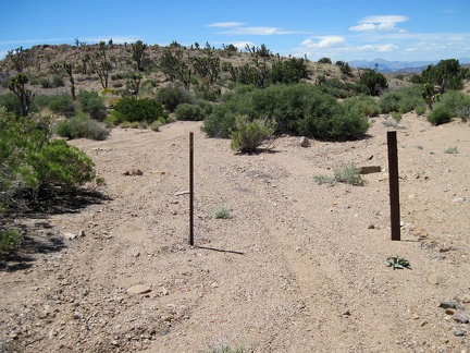 I exit the Wilderness boundary, feebly marked by two nondescript, svelte posts, and arrive at Juniper Spring Road
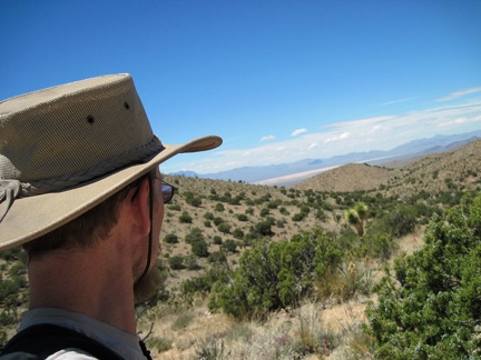 My text message doesn't want to be sent after I compose it, so I climb up the adjacent hill for better reception; away it goes
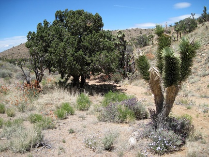 I return to the wash and pass the big juniper that provided me with some nice shade for a few minutes
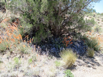 On the way down through a floriferous area in Juniper Spring wash, I pass an especially bright juniper
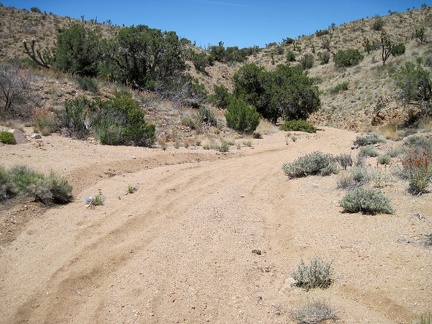 Juniper Spring wash is an easy descent as it winds down the north side of the New York Mountains
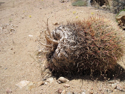 A barrel cactus has detached from its hillside garden and tumbled down into Juniper Spring wash
 Sporadic accumuations of juniper berries create dark spots on the floor of Juniper Spring wash
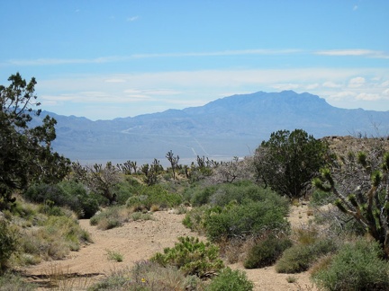 Views across Ivanpah Valley to the Clark Mountains present themselves as I approach the bottom of Juniper Spring wash
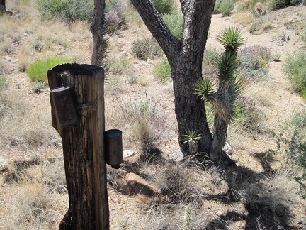 Near the bottom of Juniper Spring wash are a couple of old rusty cans attached to tree trunks
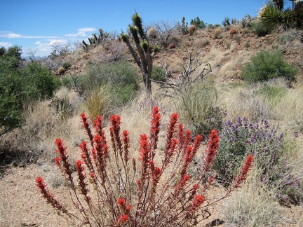 Bright-red Indian paintbrush near the bottom of Juniper Spring wash
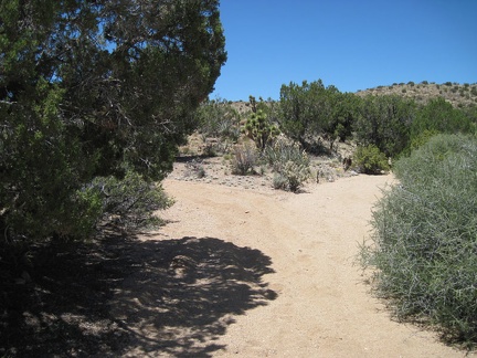 I reach a fork on the way up the wash to Juniper Spring; I check my GPS and take the left fork
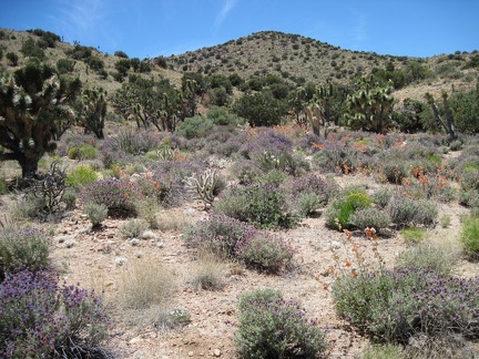 On the way up Juniper Spring wash, I pass a really colourful area with Vanderbilt Peak in the background
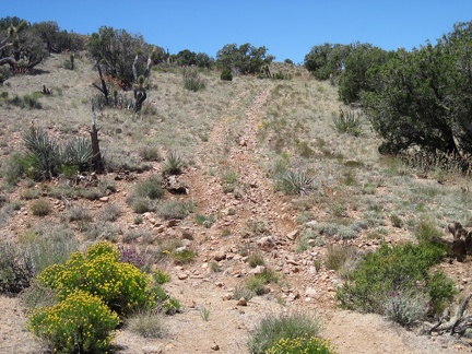 The wash comes to an end; remnants of an old road rise the final few feet up to a pass in the New York Mountains
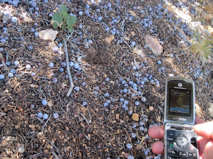 I pause in the shade of a juniper with its juniper berries at the pass in the New York Mountains
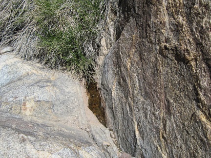 A miniscule pool of water holds out between some rocks on "Indian Spring Plateau"
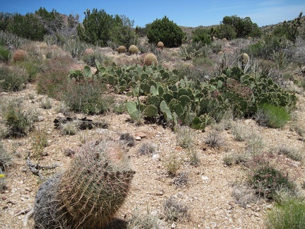 I pass a cactus-pad patch and a scattering of barrel cacti amongst the junipers on "Indian Spring Plateau"
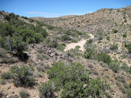 Here is the wash that I'll follow up through the New York Mountains and down the other side to Juniper Spring
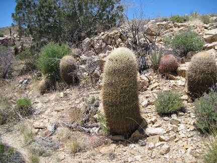 A patch of barrel cacti grows along Juniper Spring wash
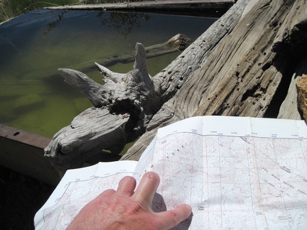 Before leaving Indian Spring, I check the map for my route across the plateau toward Juniper Spring
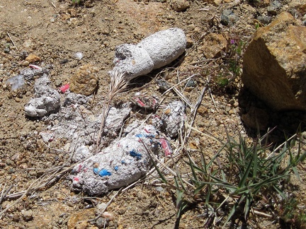 Colourful scat, it's party time
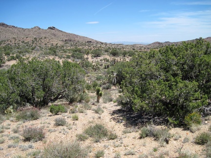 I'll start by hiking 1.5 miles straight across the plateau and down to a wash which I'll follow to Juniper Spring
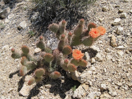 Peach cactus flowers on the plateau northeast of Indian Spring
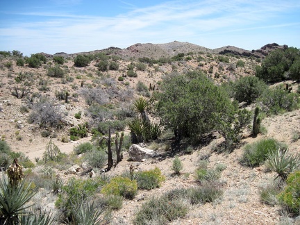 A number of shallow dry washes need to be crossed as I hike "Indian Spring Plateau"
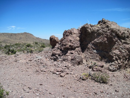 I pass a rock outcrop that's associated with the rocks down around nearby Malpais Spring
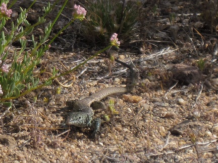 I'm awake at 8h45, step outside my tent near Malpais Spring, and am greeted by a lizard
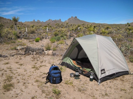 After breakfast I prepare my backpack and start the hike toward Juniper Spring around 10h15
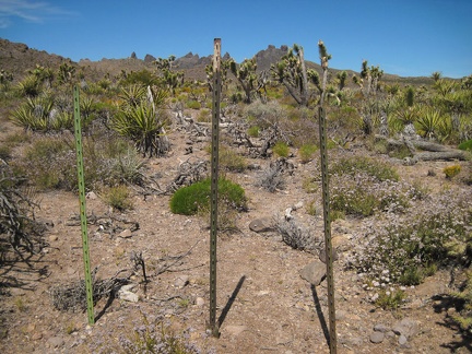 The first part of Indian Spring Road leaving Malpais Spring is nicely camouflaged beyond the Wilderness boundary
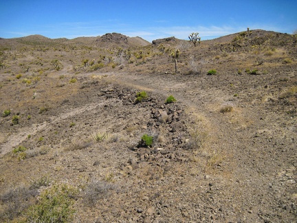 On the way to Indian Spring, the road passes through a rather barren area above the Malpais Spring canyon
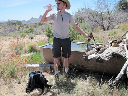 After two miles, I reach Indian Spring and filter drinking water for the day
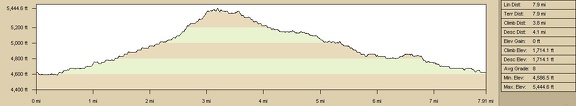 Elevation profile of today's hike to Malpais Spring, Indian Spring and Taylor Spring, Mojave National Preserve
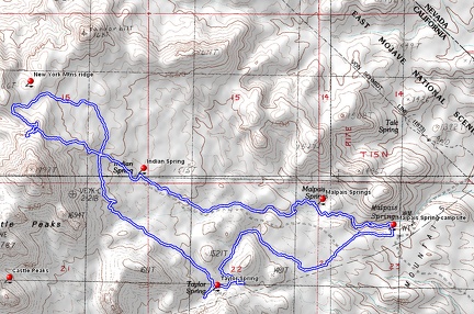 Route of today's hike to Malpais Spring, Indian Spring and Taylor Spring, Mojave National Preserve
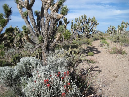 Red Indian paintbrush decorates the joshua tree forest on the old Indian Spring Road
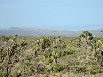 As I approach my campsite, I get a good view of Searchlight, Nevada down in the valley
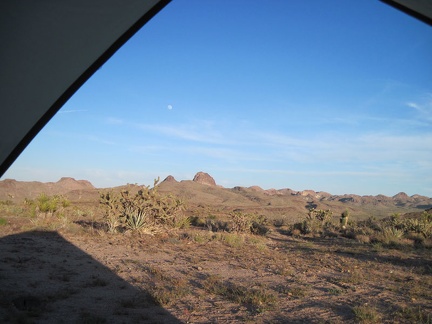 I enjoy watching the sun set from my tent near Malpais Spring
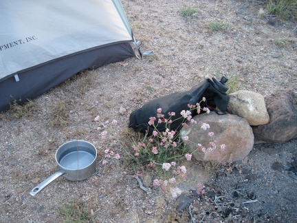 I fill my pot from my big black water bag next to pink buckwheat flowers; I'll make my instant meal shortly
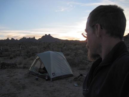 The sun sets nicely behind the Castle Peaks
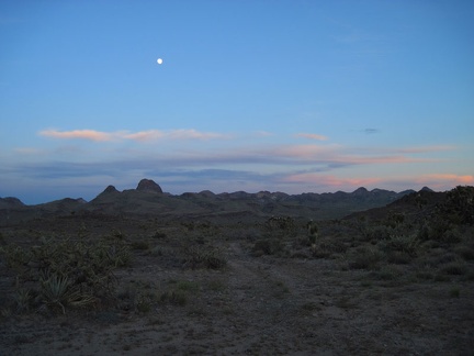 Clouds beyond the Castle Mountains pick up the last sunlight of the day
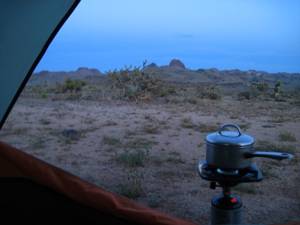 With sunset completed, it's time to boil water for tonight's instant meal and settle in for the evening
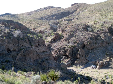 Indian Spring Road skirts the ridge above Malpais Spring wash, so I walk over to see where I started today's hike
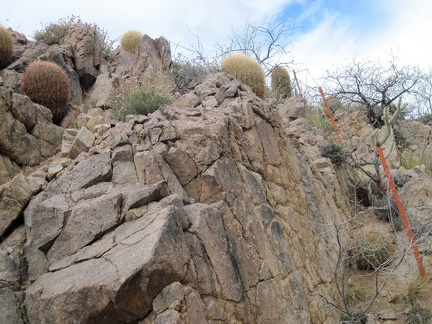 The walls of the wash are steep and cactus-covered here at the fence line
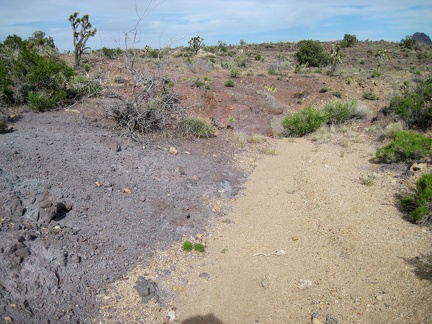 I arrive at a gravelly area on the plateau with an other-worldly purplish colour
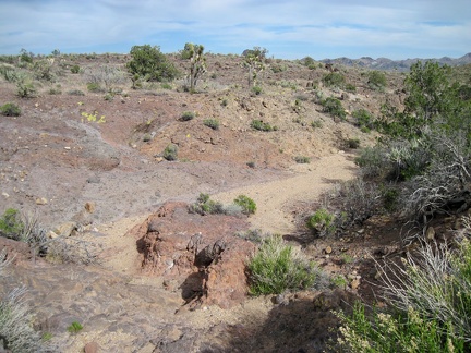 I dip down into this purplish and reddish wash
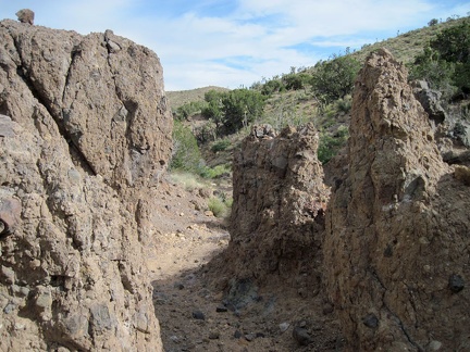 A neato little slot to pass through in this unnamed wash between Malpais Spring and Taylor Spring
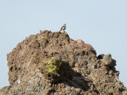 A lone bird sits high up on a rock, twittering away
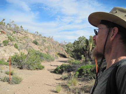 Ha, foiled again! I'm back at another segment of that barbed-wire fence
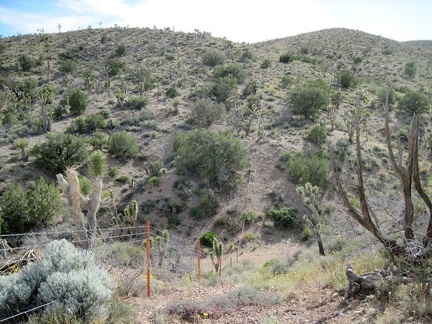 I climb the short, steep hillside up out of the wash and take a look back down
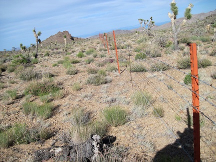 My Malpais Spring campsite is not too far ahead, just in front of that large rocky hill
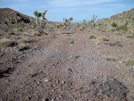 I rejoin the old Indian Spring Road (now closed) for the final 1/3 mile walk back to the campsite
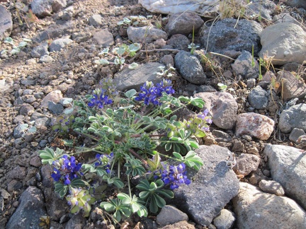 A few miniature lupines grow in the gravel of Indian Spring Road
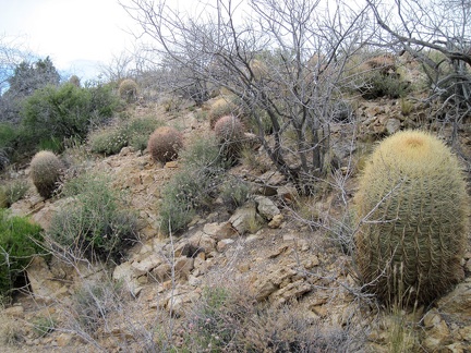 I start walking down the wash below Taylor Spring in a random route back to my campsite near Malpais Spring
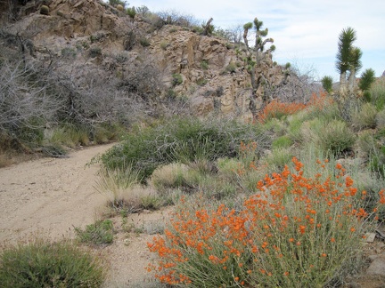 Orange desert mallow flowers contrast with the greenery in this sometimes-wet drainage (but not today)
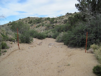 Foiled! I reach a barbed wire fence across the wash below Taylor Spring
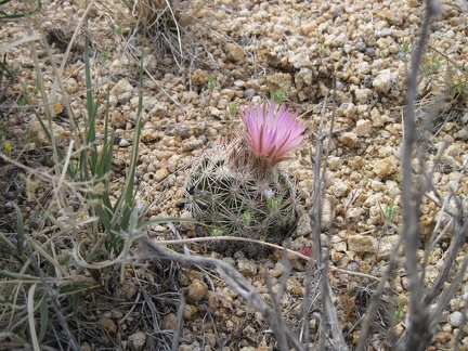 This cactus is different from all the others that I've seen today
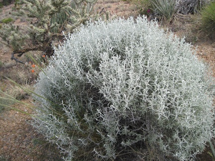 I wonder what is this ghostly grey bush
 I walk down the wash toward Taylor Spring with Castle Peaks in the background
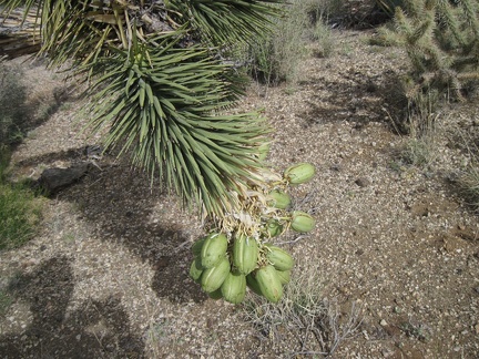 Joshua tree fruits hang low at ground level
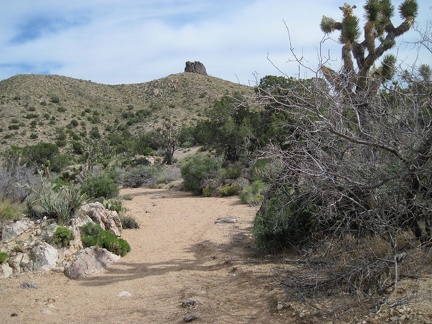 Taylor Spring should be somewhere around the next bend
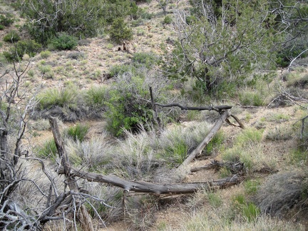 I almost walked past this old, fallen-down, unhewn-wood fence around the Taylor Spring site without noticing it
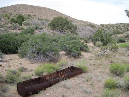 I walk up and down the wash a little and locate the Taylor Spring site
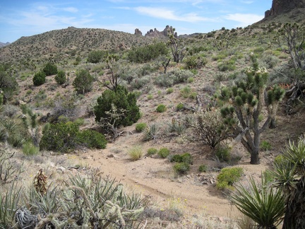 I hike over several low hills and across drainages on my cross-country hike toward Taylor Spring
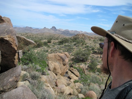 I take a short energy-bar break on a big rock pile before hiking down the next wash on the way to Taylor Spring
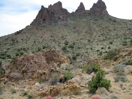 I look up to Castle Peaks again before I head down the wash toward Taylor Spring
 I stop to look at an old, dead yucca trunk laying on the ground
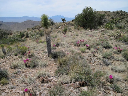 An open area on the ridge is dotted with tufts of pink cactus flowers