Home 7119

 It was fun checking out Slaughterhouse Spring; time to continue up the old road on today's hike
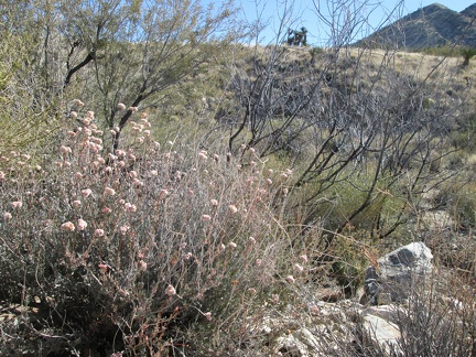 I pass a few buckwheat blossoms along the old road near Slaughterhouse Spring
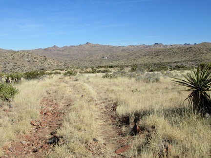 Looking back behind me, I have a view of the old Goldome mine buildings off in the distance on the other side of Ivanpah Rd
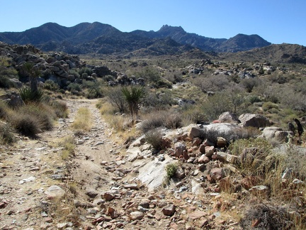 The old road here that serves as part of today's hiking route rolls up and down, and is rocky in places
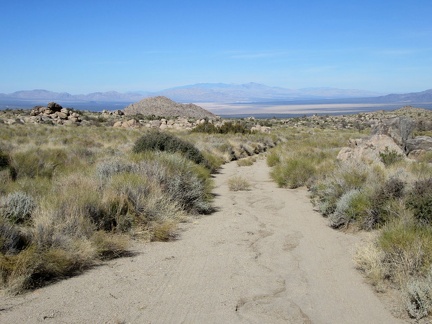 Nice views down to Ivanpah Valley behind me as I hike up the old road
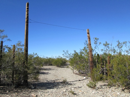
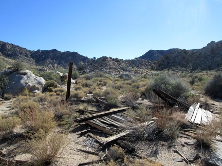 I run across some ruins on the way toward the canyon
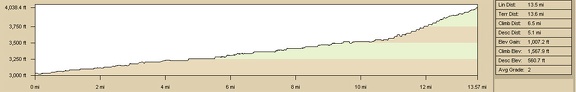 Nipton to Slaughterhouse Spring by bicycle, elevation profile
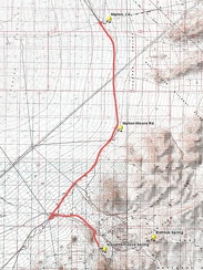 Nipton to Slaughterhouse Spring by bicycle, route
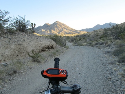 I decide I don't feeling like riding up Ivanpah Road any further and look for a campsite on adjacent Slaughterhouse Spring Road
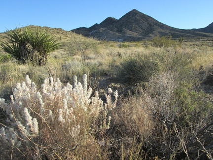 Fluffy post-flower residue along Slaughterhouse Road
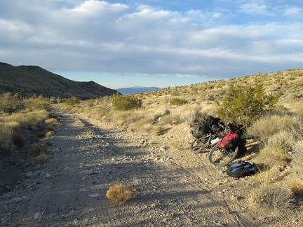 Almost a mile up Slaughterhouse Spring Road, I start looking for a campsite more seriously
 While setting up camp, a pickup truck drives by, not seeing me, and drives up the hill a bit (see the headlights at bottom-left)
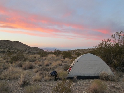 I didn't travel as far as hoped today, but I'm very happy camping here by Slaughterhouse Spring, now planning tomorrow's hike
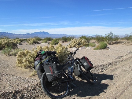 I take several short breaks along Nipton-Moore Road, enjoying the solitude and the plant life
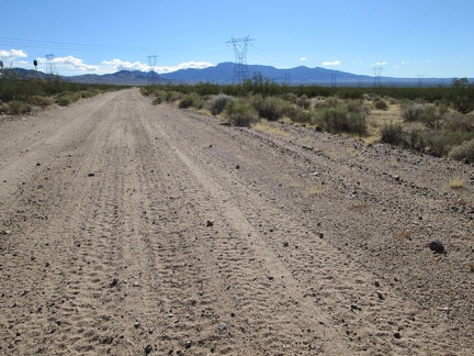 I don't pass any other vehicles while riding Nipton-Moore Road today, but it clearly does get some use
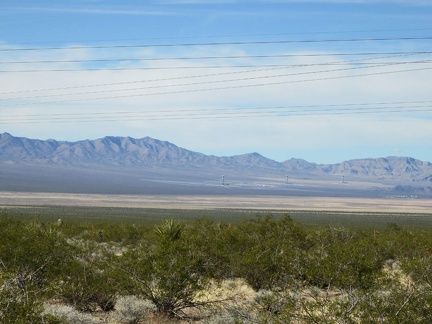 Against my will, I can't help but look across Ivanpah Valley to the Primm Brightsource solar plant under construction
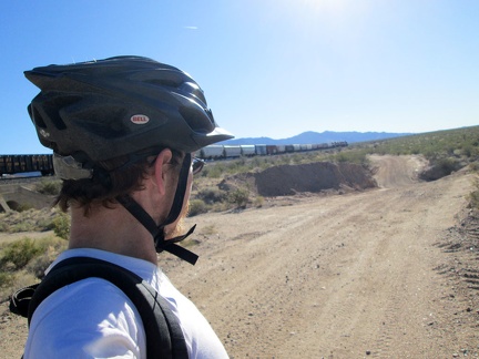 One of those long freight trains that crosses the Mojave Desert passes me on Nipton-Moore Road
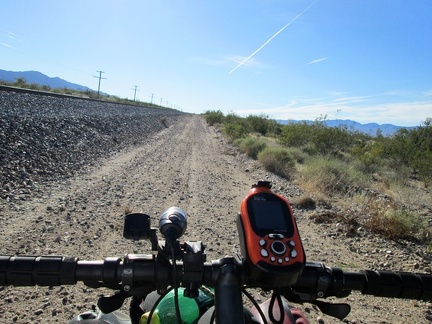 A jet-exhaust stream glides by effortlessly in the sky while I rattle along Nipton-Moore Road, hugging the train tracks
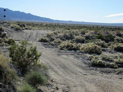 As a result of recent rains, Nipton-Moore Road has had recent washouts that have been freshly repaired
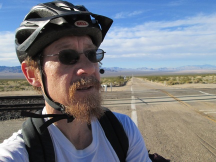 I arrive at the pavement of Ivanpah Road just after mile 10 and have over 3 miles of pavement ahead
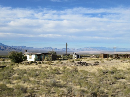 I ride past the old Ivanpah general store building, a landmark in this area
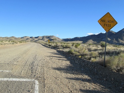 After more than 3 miles of pavement on Ivanpah Road, the pavement ends
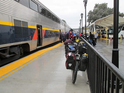 Yesterday, to get out here, I boarded the Amtrak train in Stockton, followed by an Amtrak bus to Primm, NV in the Mojave Desert
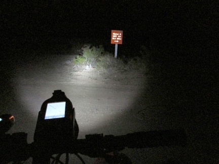 I considered staying at a Primm casino hotel last night, but they were full, so I rode 12 dark miles to Nipton and camped there
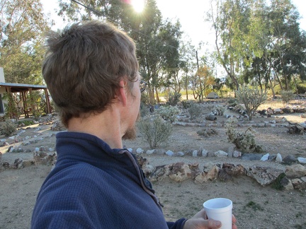 Morning at Nipton is nice and sunny; the tent sits at the back of the cactus garden by some eucalyptus trees
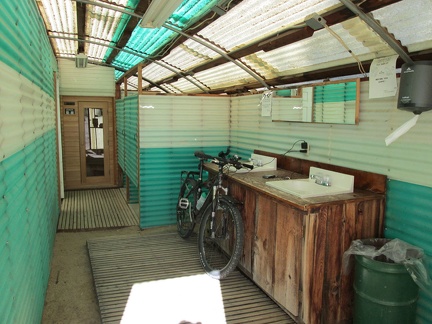 I recharge my cell phone and my headlight battery in the shower building before leaving Nipton
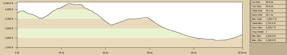 Elevation profile of bicycle route from Twin Buttes campsite to Nipton via Cima: Day 15
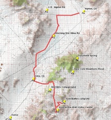 Bicycle route from Twin Buttes campsite to Nipton via Cima: Day 15
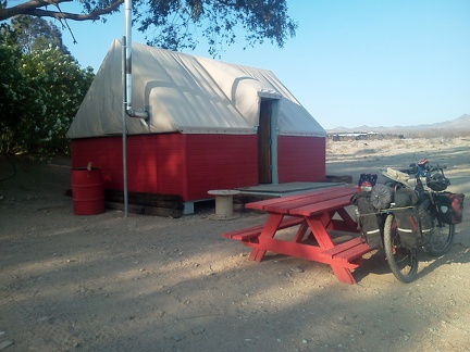 I decide to stay in one of the Nipton tent cabins tonight; I'll get up early tomorrow and ride to Primm to catch the Amtrak bus
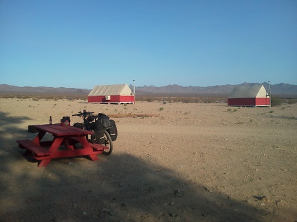 Just beyond my tent cabin at Nipton are a few others, but it's mostly quiet tonight
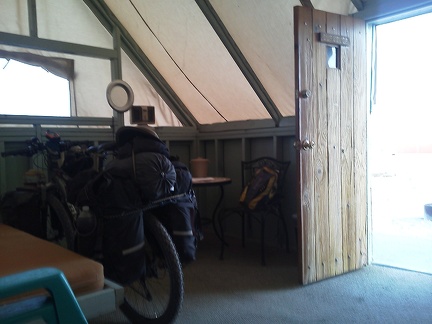 I park the 10-ton bike inside my tent cabin at Nipton, titled the Surveyor, and settle in for the night
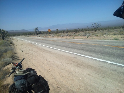 Just around the corner here, I've got 10 miles of downhill, and about 1300 feet of elevation loss!
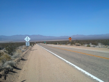 35 minutes later: after 10 miles of gliding downhill (and pedaling too), I arrive at the stop sign and turn left on Ivanpah Road
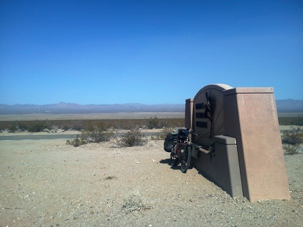 I exit Mojave National Preserve here, and am now headed over to Nipton, the village over there at the bottom of the mountains
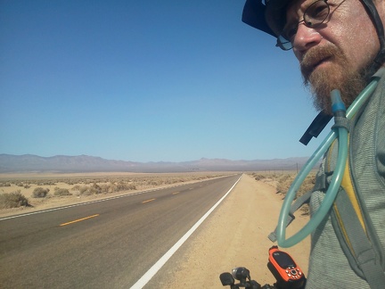 Riding Nipton Road, just a few more miles until I reach Nipton village over there
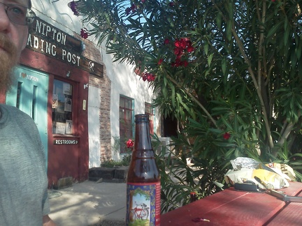 I haven't had a flat tire yet on this trip, so I celebrate upon arriving at the Nipton store with a bottle of Fat Tire beer
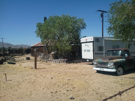 A residence and and old truck sit behind the Cima store, lost in time
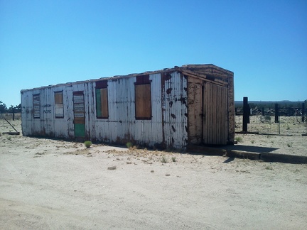 An old railway box car also sits next to the Cima store, with nowhere to go
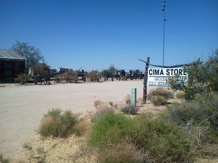 My break finished at the Cima store, it's time to hit the road again and ride on down the hill to Nipton: 25 miles ahead
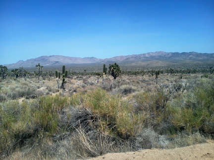 As I ride down Morning Star Mine Road away from Cima, I take in the views of the New York Mountains
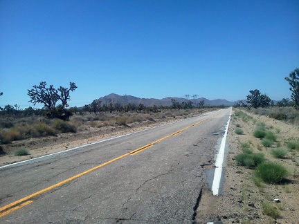 On upper Morning Star Mine Road, I'm heading toward the Ivanpah Mountains, with Kessler Peak at the left
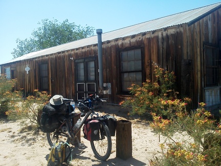 Well, the Cima store might be closed right now, but it's an interesting place to take a break nonetheless
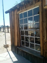 The board-and-batten structure of the old Cima store hasn't been whitewashed in a very long time
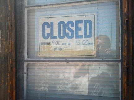 The Cima store is closed today, or at least right now; the hours posted are basically meaningless
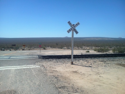 After a nice, fast downhill on Cedar Canyon Road, I arrive at the famous stop sign at Kelso-Cima Road
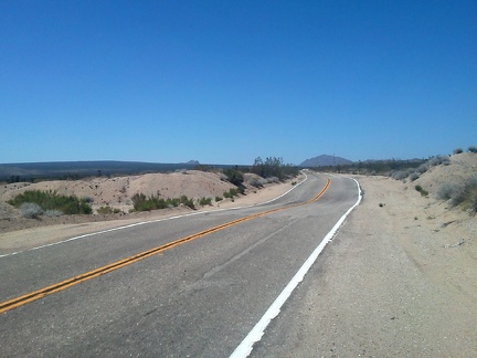 I have almost five miles to ride up the gently rising Kelso-Cima Road until I reach Cima and the possibly open Cima store
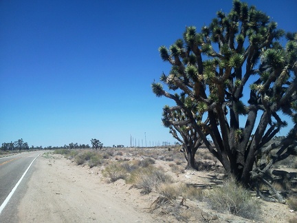 Oh, there's Cima just up ahead past that Joshua tree
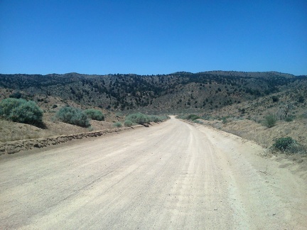 The rough washboard of upper Black Canyon Road prevents me from gaining any speed as I decend to the Cedar Canyon Road
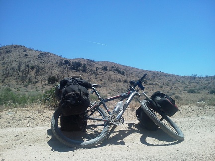 A jet flies overhead while I ride Cedar Canyon Road; the passengers note in unison that 'there's nothing down there'
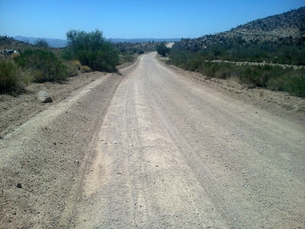 This stretch of Cedar Canyon Road is always slow and rough (but scenic) on a bicycle
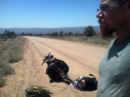 Once Cedar Canyon Road rises out of the canyon, I can see across to the Cima Dome area
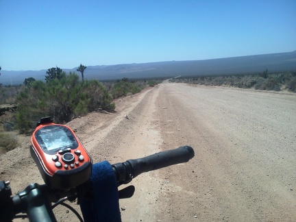 I have a 700-foot elevation drop ahead of me here on the west end of Cedar Canyon Road
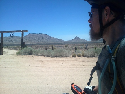 Also noteworthy on upper Black Canyon Road is the Gold Valley Ranch that I'm passing right now
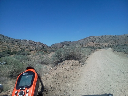 Upper Black Canyon Road narrows somewhat before it crosses through the pass ahead at just under 5350 feet elevation
 The 10-ton bike enjoys the rocky backdrop at Hole-in-the-Wall one last time while my cell phone recharges
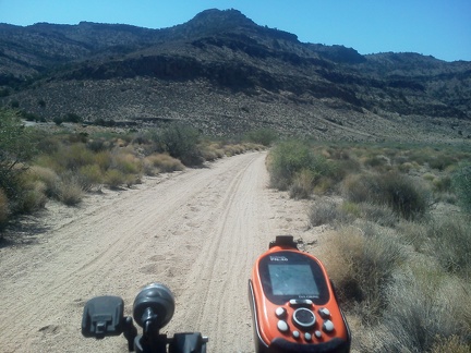 I've ridden Woods Wash Road quite a few times while camping here this past week; this is my final commute out of the area
 My first stop is the Hole-in-the-Wall Visitor Centre (again) to fill up on water; it's over 80F in the shade already
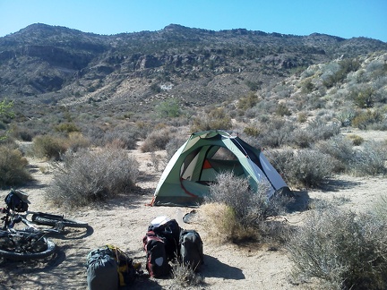 I've been at this great campsite by the Woods Mountains for a week now; this morning I pack up and leave
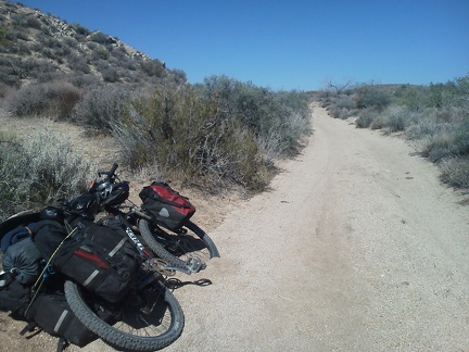 Everything is nicely packed up into my saddlebags and attached to the 10-ton bike
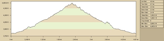 Borrego Canyon hike route, Mojave National Preserve, elevation profile
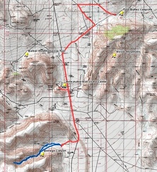 Borrego Canyon hike route, Mojave National Preserve
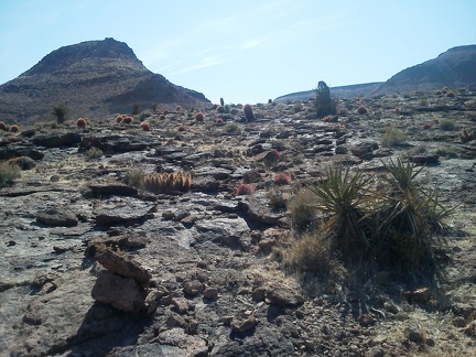 Lots of shiny volcanic-looking rock and barrel cacti love the heat here on this little Borrego Canyon mesa
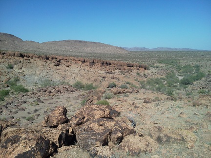 I pass some horizontal layers of rock on the way back to my bicycle parked near Borrego Canyon Road
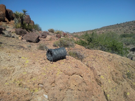 Borrego Canyon is quite pristine, except for the cow grazing and this fresh roll of barbed wire
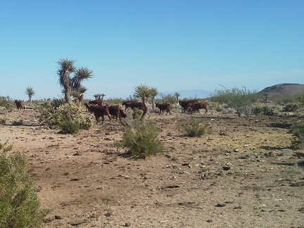 Just before I arrive at my bicycle at the end of Borrego Canyon Road, I run into a big herd of cows
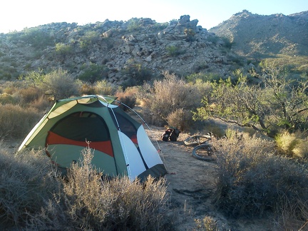 One final quiet evening of solitude in Mojave National Preserve near Twin Buttes
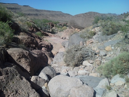 Borrego Canyon hiking: climb over the rocks
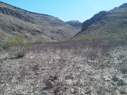 I look back at the mouth of the south fork of Borrego Canyon across a field of dry grey-pink buckwheat twigs
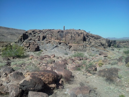 I walked around this mini-mesa on the way up Borrego Canyon; now it's time to walk up it
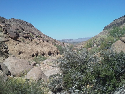 On the way back down Borrego Canyon, I get a good view of some rock igloos a bit like the ones I saw near Cave Spring yesterday
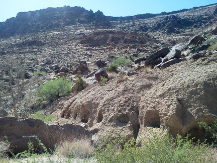 As I pass the rock igloos in Borrego Canyon, I take a look back
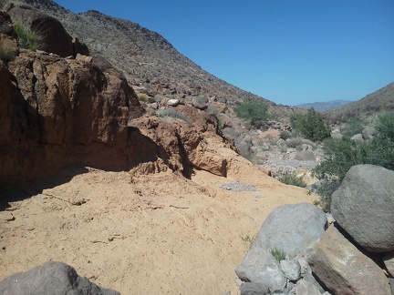 I like this rock outcrop in Borrego Canyon because it briefly gives me a smooth surface to walk across, for a change
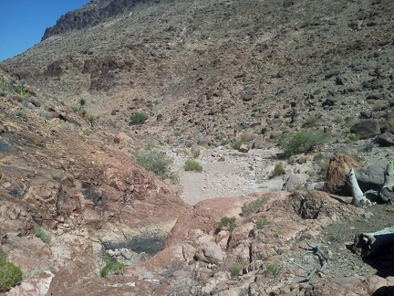 It's fun climbing down the rocks here at a small dry waterfall on the way back down Borrego Canyon
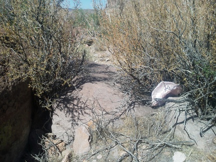 A typical moment while hiking in Borrego Canyon
 I take a look up the dry waterfall in Borrego Canyon and the small boulders clogging the drainage
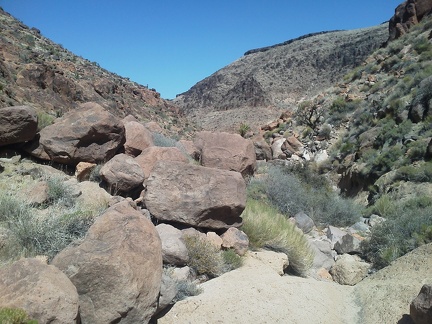 I decide that the dry waterfall is a good place to turn around and start heading back down Borrego Canyon
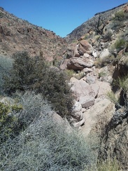 Hiking Borrego Canyon is a bit faster in the downhill direction
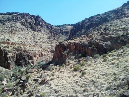 On the way back down Borrego Canyon, I climb up a hill on the side of canyon and take a look back
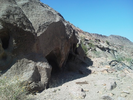 I pass a cavelet in the rocks on the way back down Borrego Canyon
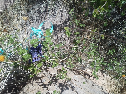 I guess it's time to stumble upon a stray balloon, since I haven't seen one yet today here in Borrego Canyon
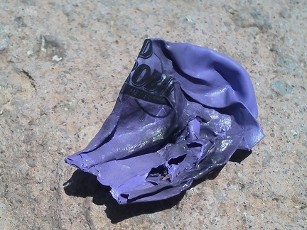 A closer look shows that the lost balloon blew in from a Red Robin restaurant
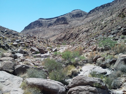 Borrego Canyon is quite rocky, making for slow hiking, as I thought might be the case
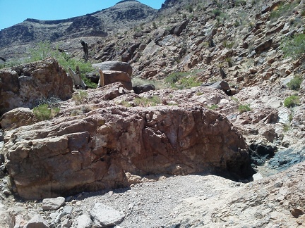 I like this stretch of Borrego Canyon because there isn't as much vegetation to avoid, due to the rocky floor
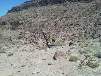 I see fragments of animal trails here and there in Borrego Canyon, probably created by animals like these cows
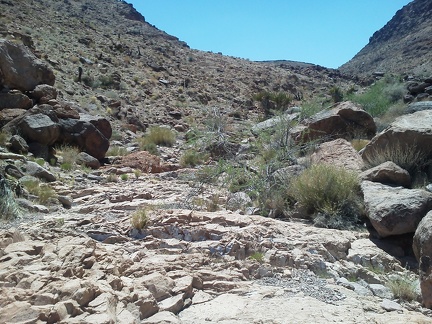 A couple of aggressive yellowjacket wasps follow me as I slowly rise up this part of Borrego Canyon
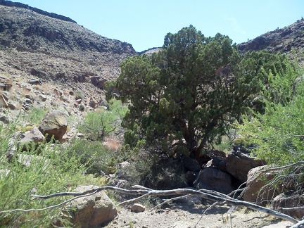 I sit down for a moment in the little bit of shade provided by this tree in Borrego Canyon
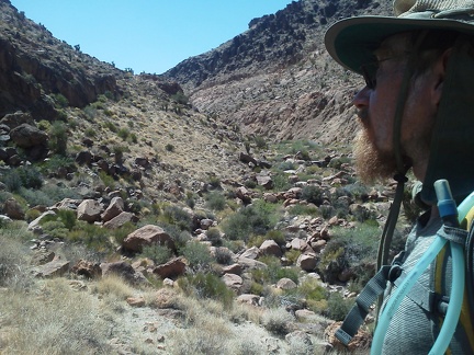 Much of Borrego Canyon is rocky and brushy like here, offering no obviously good hiking route up the canyon
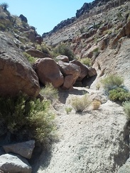 Hiking up Borrego Canyon is getting slower and slower as I encounter obstacles like these large rocks with increasing frequency
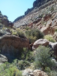 Hmmm, my next few steps in Borrego Canyon will be climbing over that boulder at the left
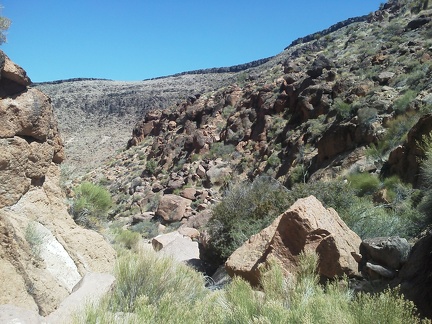 I take a look behind me and realize I am slowly gaining elevation in Borrego Canyon
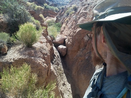 I arrive at a small dry waterfall in Borrego Canyon and ponder my next steps
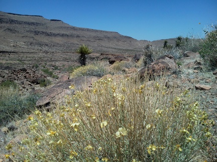 I pass a few small stands of Desert senna flowers in lower Borrego Canyon
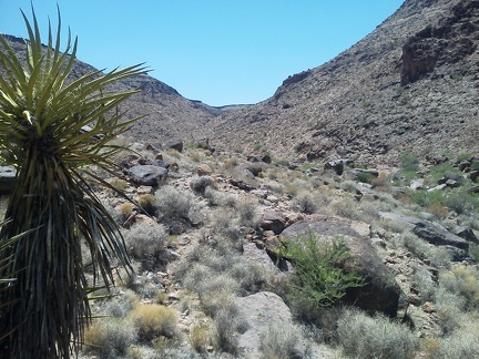 Borrego Canyon splits into a north and south fork; I choose to follow the south fork
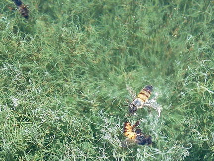 A couple of bees are swimming (or are they drowning?) in the spring tub at the end of Borrego Canyon Road
 I stash the bicycle behind some Catclaw bushes with fragrant flowers and begin the hike up Borrego Canyon.
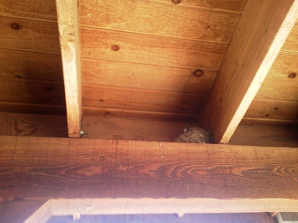 It's Saturday, so the Hole-in-the-wall Visitor Centre is open; this Say's Phoebe nest is nearby whether open or not
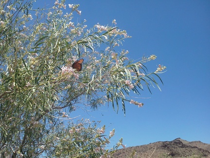 Here's one of the butterflies I see in the Desert willow (Chilopsis) flowers on Black Canyon Road: probably a Monarch butterfly
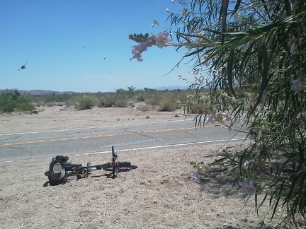 I stop briefly at a stand of Desert willows (Chilopsis) while riding almost 2 miles down the paved Black Canyon Rd
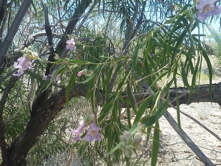 Desert willow (Chilopsis) flowers are also popular with hummingbirds, but I can't seem to catch one on camera here
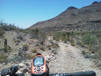 I ride the 3/4-mile rough road into the mouth of Borrego Canyon off Black Canyon Road
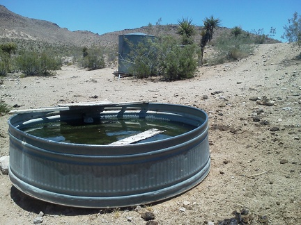 I'm surprised to find a spring and water tank at the end of the road: it's not marked on my maps
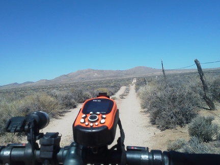 Breezes keep the tent somewhat cool after the hot sun wakes me at 7h30, then I ride over to Hole-in-the-Wall Visitor Centre
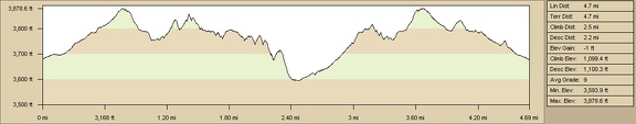 Elevation profile of Cave Spring hike, Mojave National Preserve
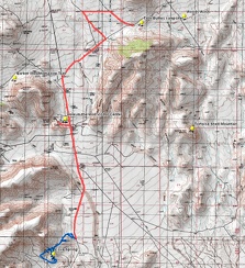 Bicycle route (red) and hiking route (blue), Cave Spring, Mojave National Preserve
 After a stop at Hole-in-the-Wall Visitor Centre to recharge my phone and fill up on water, I ride over to Woods Wash Road
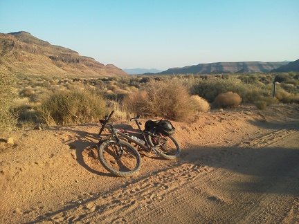 Great views behind me of Woods Mountains (left) and Wild Horse Mesa as I ride back to camp
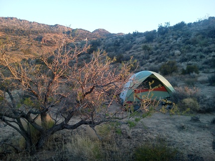 Back at the tent on Woods Wash Road for sunset, I crawl inside, home again for the night!
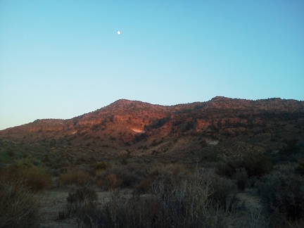 A close-to-full moon sits above the Woods Mountains just before sunset on this hot day
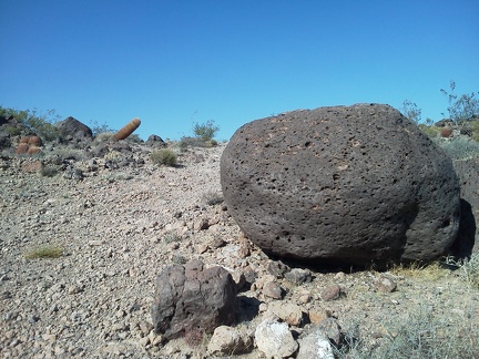 Hmm, a leaning barrel cactus ahead
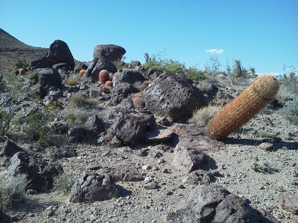 I suppose this leaning barrel cactus will eventually fall over like the one I saw on the trail a short while ago...
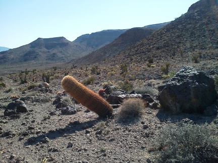 Life in a tilted world for this barrel cactus near Cave Spring, Mojave National Preserve
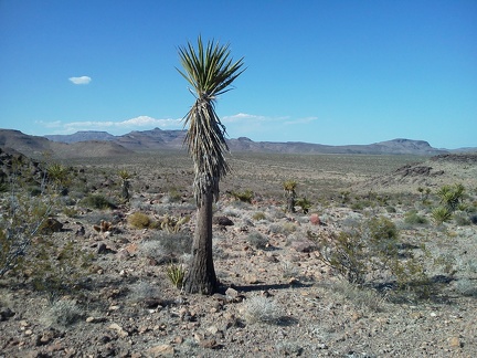 On my way back to my bicycle near Black Canyon Road, I pass a rather svelte Mojave yucca
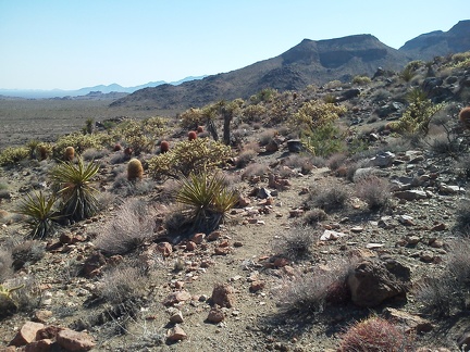 Cholla cacti and barrel cacti pick up the late-afternoon sun while I walk across this area above Cave Spring
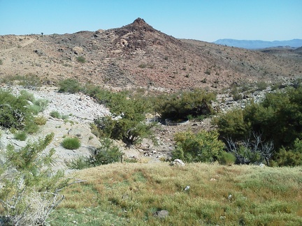 I walk though the Cave Spring area again on this short and pleasantly aimless hot-weather hike
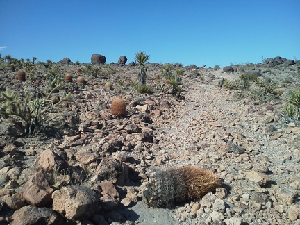 Oops, this barrel cacti fell over and, I think, died
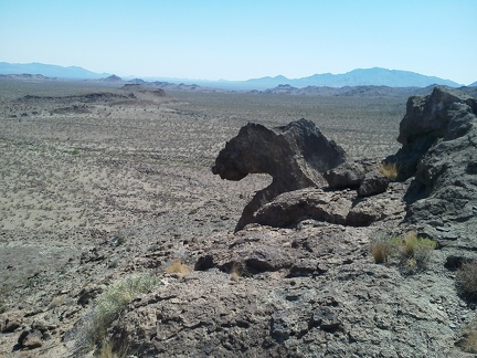 Bighorn-sheep-head rock?
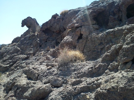 Maybe it's a seahorse head?
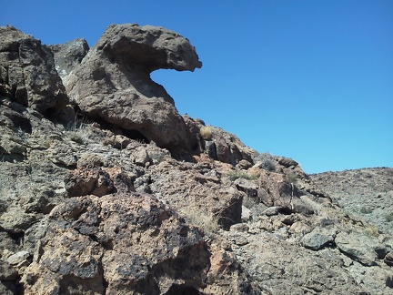 No, it's a hawk head!
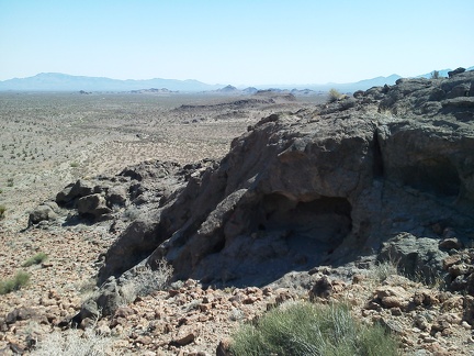 I decide to walk down the hill and around this volcanic outcrop, since I have no hike plan for the day
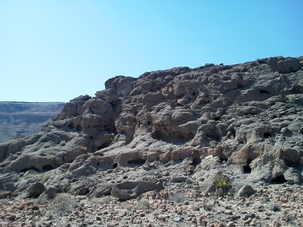 So many little holes in the rocks provide shelter for wildlife
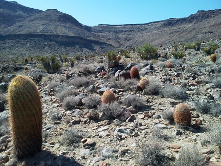 I hike a short distance up an adjacent canyon near Cave Spring, but decide not to continue too far, given the heat of the day
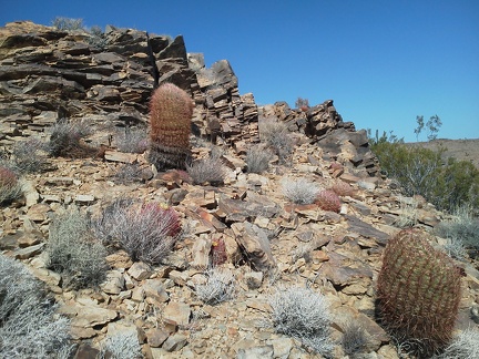 Barrel cacti and layered rocks near Cave Spring
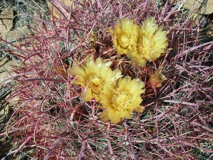 Since I've seen so few flowers on this trip, it's great to come across a few barrel-cactus flowers
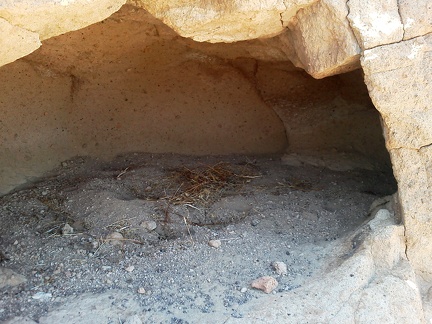 The beginnings of a nest in one of the igloos near Cave Spring
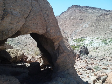 Close-up of one of the rock igloos (I guess it's a natural arch, really) near Cave Spring
 I catch a good front-on view of the Cave Spring area from the rock igloos
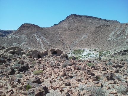 I walk away from the rocks igloos to further explore the area near Cave Spring
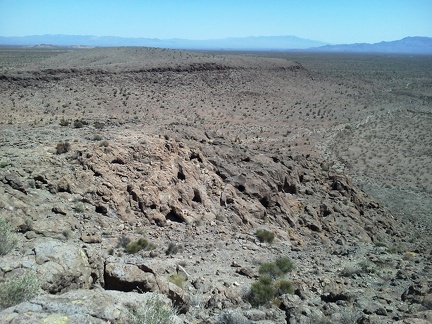 I find that many big air bubbles made holes in the volcanic rock in the area beyond the rock igloos
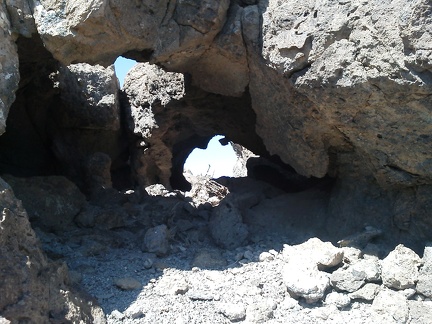 More little natural arches in the Cave Spring Hills area
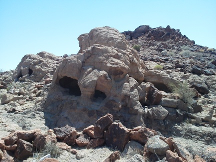 Cave Spring rock igloos
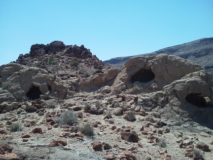 Cave Spring igloos
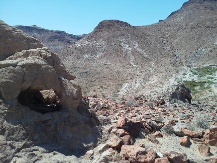 You could crawl through this rock igloo near Cave Spring
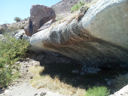 Apparently, water has flowed over this rock at Cave Spring for a very long time
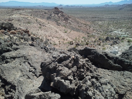 I think I'll walk over to that rock outcrop over there and see what I find...
 I stumble across some cool rock igloos in the Cave Spring area
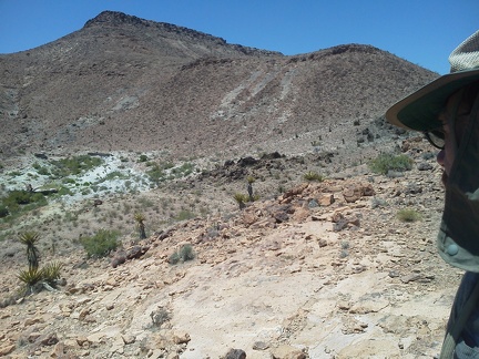 I see a bit of greenery over there; that must be Cave Spring
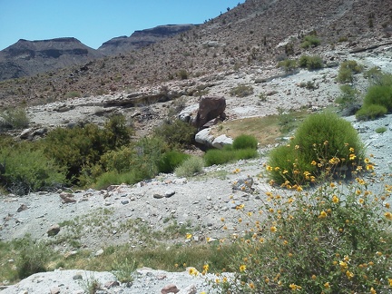 Yes, Cave Spring, Mojave National Preserve, just ahead
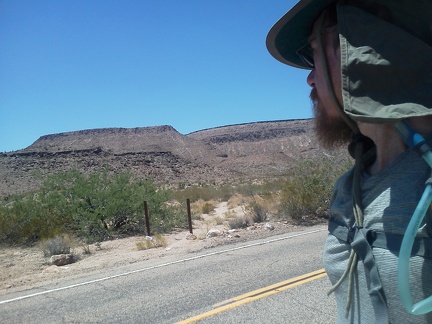 There it is, the old road leading to Cave Spring, closed by a couple of Wilderness markers; I stash my bike behind some bushes
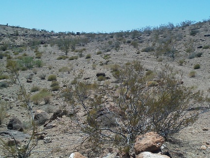 The old road to Cave Spring is easy to lose at first, but I eventually find it and follow it up a gentle hill
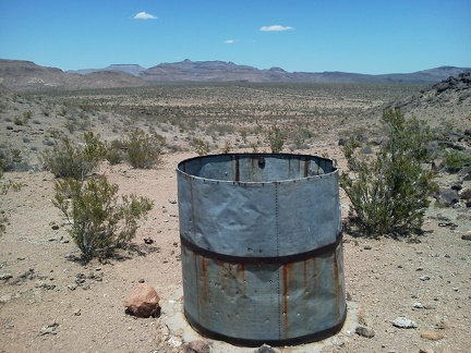 This old water tank on Cave Spring Road is dry and shot-up, but has great views over to the Woods Mountains
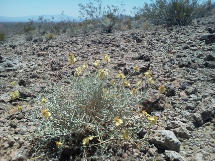 There are so few flowers on this hot late-spring trip that a few expiring Desert senna flowers here are an exciting find
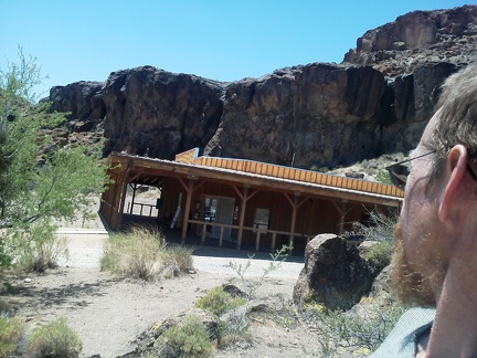 I recharge my phone and headlight battery from the outdoor plug at the Hole-in-the-Wall Visitor Centre, which is closed today
 I arrive at the Hole-in-the-Wall Visitor Centre after 5.5 bicycle miles, 3 cups of coffee and granola breakfast
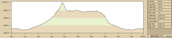 Elevation profile of Table Mountain hike
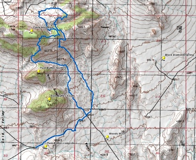 Table Mountain hike route
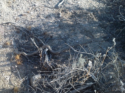 A snake!
 Well, I exit the Wilderness boundary and take a look back at Twin Buttes and Table Mountain before hiking back up Woods Wash Rd
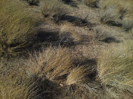 It has been quite windy all day, and still is, as these windblown shrubs show
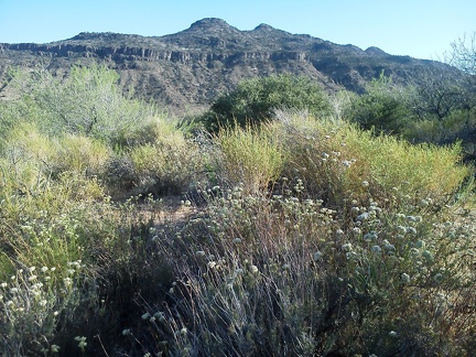 Several patches of buckwheat display their white flowers along a stretch of Woods Wash Road
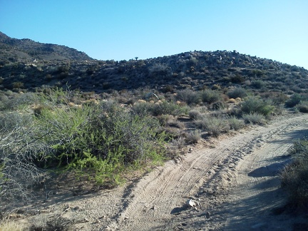 On the final 1.3 miles hiking up Woods Wash Rd, I think about how no motor vehicles have come down this road in a few days
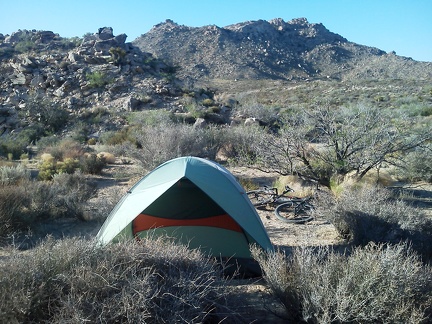 It's always nice to see that my tent is intact when I return from a day hike!
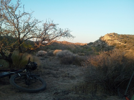 Another memorable day in paradise closes: sunset near Twin Buttes; my first time camping in this area and I love it
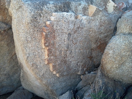 More false-teeth rocks between Table Mountain and Barnett Mine
 I walk down into a brushy area that is the headwaters of Upper Black Diamond Spring Valley
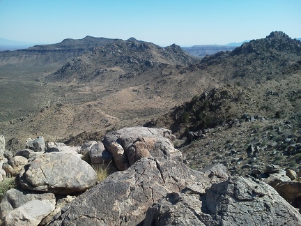 OK, it's time to start going back down; my tent is behind rocky Twin Buttes South in the middle of the photo
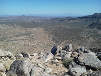 One last vista down into Woods Wash before starting the climb back down
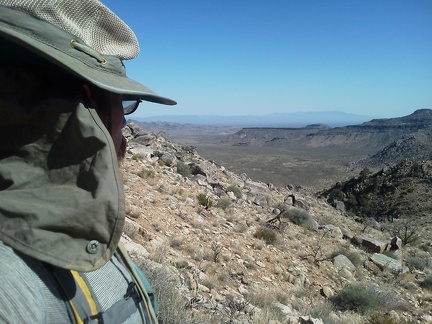 Looks like I should be able to carefully zigzag my way down the steep canyon ahead
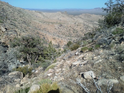 It's steep, but I haven't run into any major obstacles yet: good!
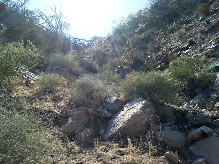 Lots of rock, but coming down the hill has been feasible so far
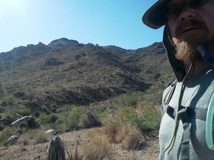 Since it's steep, the downhill behind me from Table Mountain has passed rather quickly
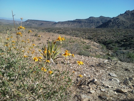 A few Brittlebrush flowers add a rare bit of colour to this hot-weather hike
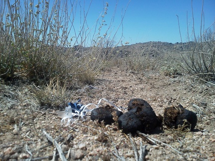 I come across shit and a lost deflated balloon on the plateau area northeast of Table Mountain; weird combination
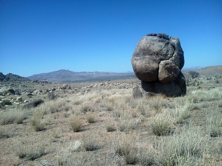 Fist rock, with New York Mountains in the background
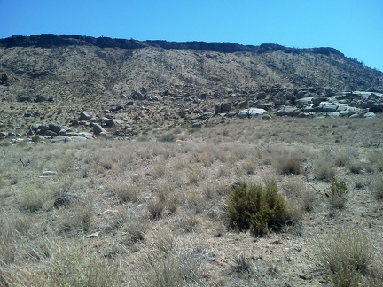 I take a look at Table Mountain from the northeast side
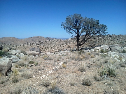 This scorched pinon pine survived the 2005 brush fires here
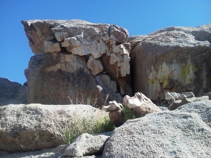 False-teeth rocks on the plateau between Table Mountain and Barnett Mine
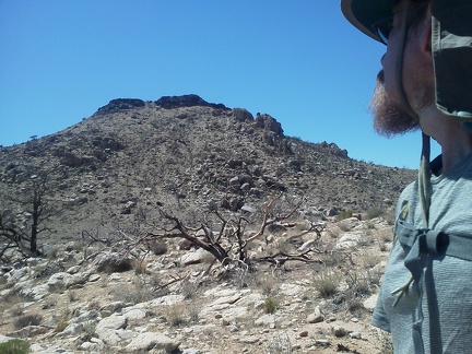 Well, I guess I'll keep looking at Table Mountain and wondering what's up there, since I didn't make it to the top
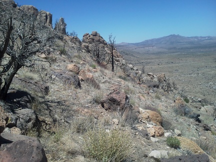 As I wind around the flank of Table Mountain, I start to see across to the New York Mountains; this is as high as I can go
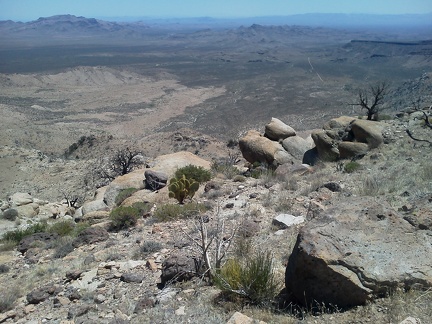 Spectacular views across Upper Black Diamond Spring Valley, and all around
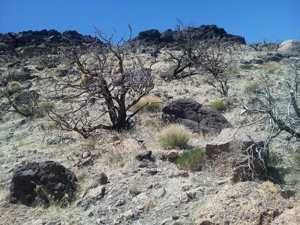 Hmmm... the Table Mountain summit is just up there, yet I'm going to pass and head downward... I hate vertigo!
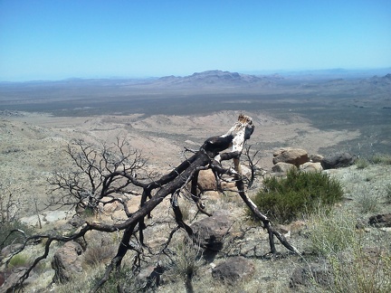 One of several burned trees on the flank of Table Mountain looks toward Hackberry Mountain
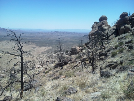 One last view down toward Woods Wash for a while as I walk around the flank of Table Mountain toward its east side
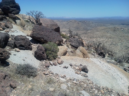 Now I can see down into Upper Black Diamond Spring Valley, where I hiked a few days back
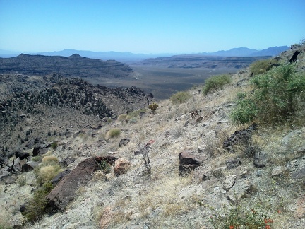 Wow, I've never seen all of Gold Valley like this before...
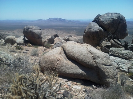 Boulders frame this view over to Hackberry Mountain from the south flank of Table Mountain
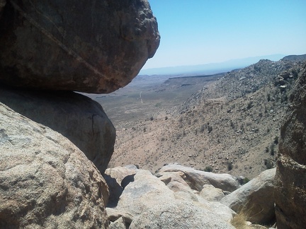 Another view around boulders on the side of Table Mountain, this time down to Woods Wash
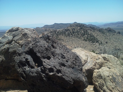 An interesting collage of rocks and ridgetops from the flank of Table Mountain
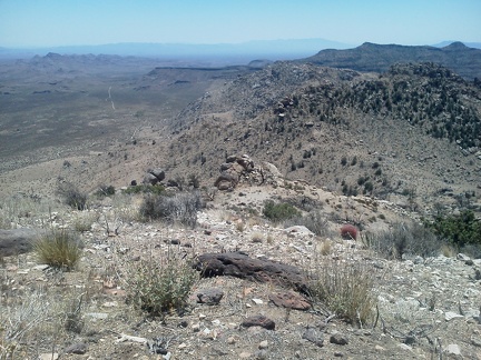 Woods Wash Road is visible in this view from the side of Table Mountain
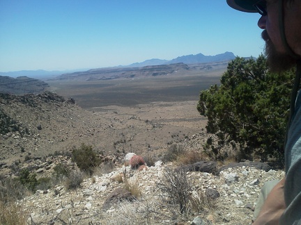 The views across Gold Valley are even better now!
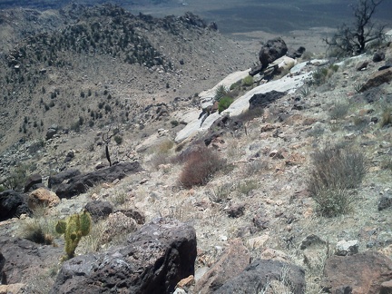 Hmmm... it's getting a bit steep along here....
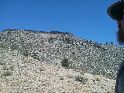 As I reach a saddle between Twin Buttes North and Table Mountain, it looks like Table Mountain isn't that far away
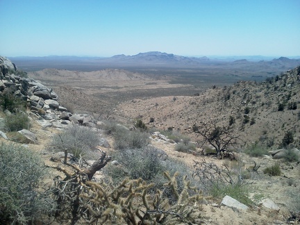 Nice view back down the canyon I just climbed up between Twin Buttes North and Table Mountain
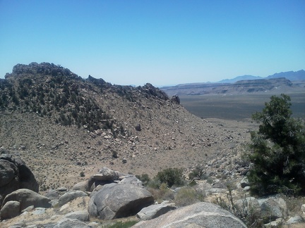 Wow, I can now see across Gold Valley to the Hole-in-the-Wall area where I hiked yesterday
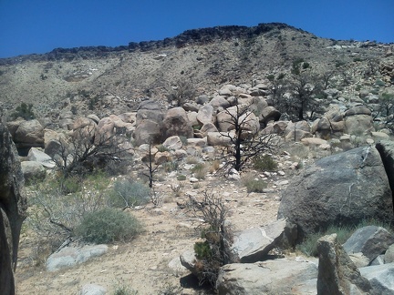 Table Mountain is getting a bit closer now; I didn't expect to come this far up
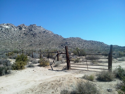 Today's hike up into the rocky Twin Buttes area starts with a walk down Woods Wash Road
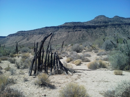 I pass the remains of an old corral fence in front of the Woods Mountains made from unhewn wood
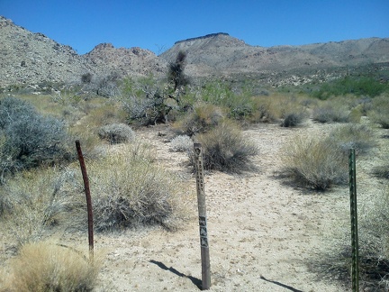 I leave the road and cross the Wilderness boundary to begin walking toward flat-topped Table Mountain
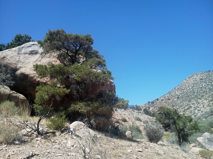 Shade! A big boulder with a few pinon pines around it in the canyon between Twin Buttes and Table Mountain
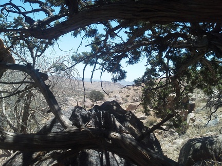 I take five minutes under the pinon pine and behind the rock, might be the last shade I get for a while!
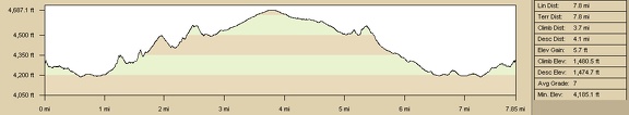 Elevation profile of Mojave National Preserve: Rings Trail and Barber Mountain Loop Trail day hike: Day 11
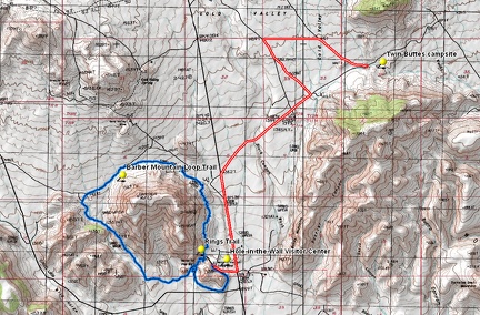 Mojave National Preserve: Rings Trail and Barber Mountain Loop Trail day hike: Day 11
 Walking down the Barber Mountain Loop Trail, slowly approaching Black Canyon Road
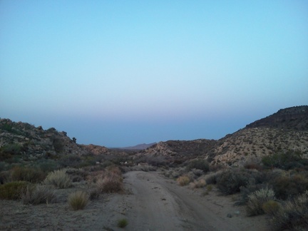 After a break at Hole-in-the-Wall Visitor Centre to recharge my phone, I ride the 5.5 miles back to camp on Woods Wash Road
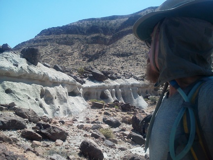 The Flintstones would be proud to live here!
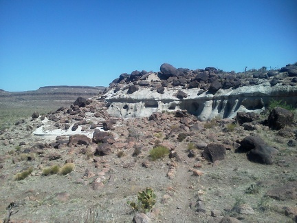 I take a final look at the hotel as I continue my way along the Barber Mountain Loop Trail
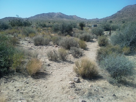 The next stretch of the Barber Mountain Loop Trail dips down into a familiar part of Gold Valley
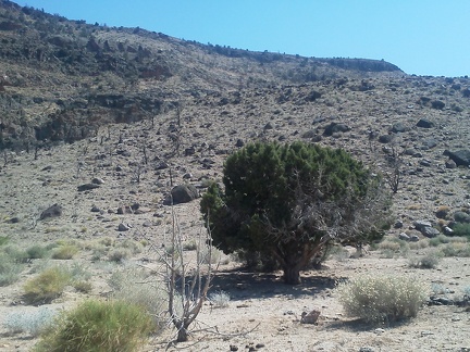 Gold Valley burned pretty bad in the 2005 brush fires here, but 4/5 of this tree survived
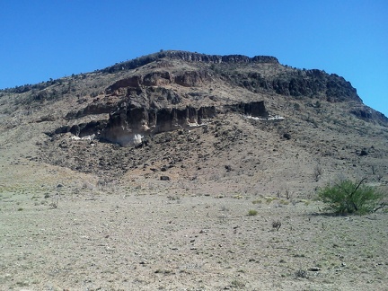 This patch of Gold Valley by Barber Mountain is still largely devoid of vegetation almost 7 years after the brush fires
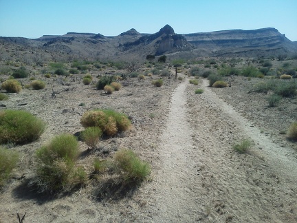 For a while, Barber Mountain Loop Trail follows an old road
 Well, this is as close as I've ever been to Lobo Point, Mojave National Preserve, that outcrop in front of me