Home 7119

 I cut over from the power-line road to Kelso Dunes Road and make a stop at the washroom near the dunes trail
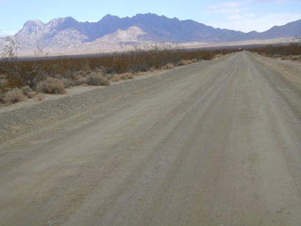 The last couple miles up Kelso Dunes Road is enjoyable with the view toward Providence Mountains in my face
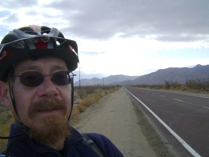 At the end of Kelso Dunes Road, I start riding down the paved Kelbaker Road, with the Granite Mountains behind me
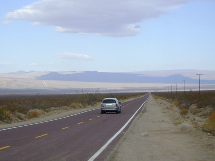 I have 8 miles of downhill on Kelbaker Road before I reach Kelso, but a strong headwind is slowing me down
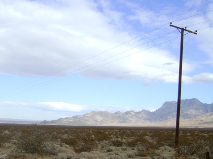 As I head down Kelbaker Road, I glance to my right at the Providence Mountains, where I hiked a few days ago
 Coming up to the "big bend," I can now see the town of Kelso down in the distance
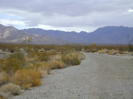 I stop for a moment when I pass the unmaintained Vulcan Mine Road
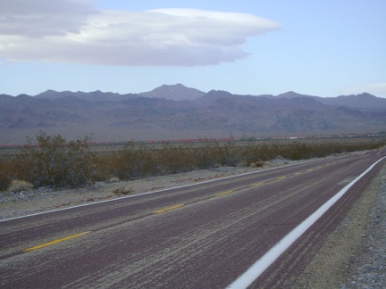 Approaching Kelso, I see a freight train in the distance with a lot of red cars
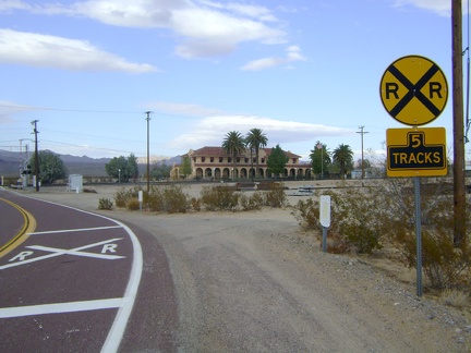 Arriving at Kelso Depot visitor centre, Mojave National Preserve
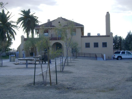 Kelso Depot is receiving a lot of visitors today due to the long weekend (Thanksgiving)
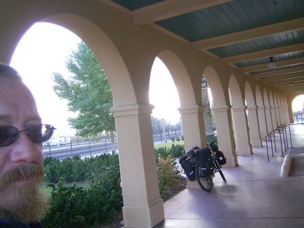 I've taken this photo several times in the past with the 10-ton bike under the Kelso Depot porch
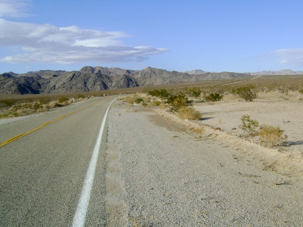 After the nice break at Kelso Depot, it's time to start the 12-mile climb up to the Kelbaker Road summit
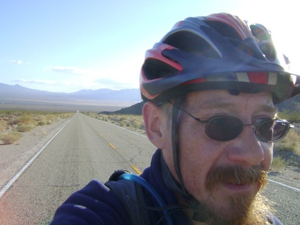 For some reason, I always enjoy the climb out of Kelso toward Baker on Kelbaker Road
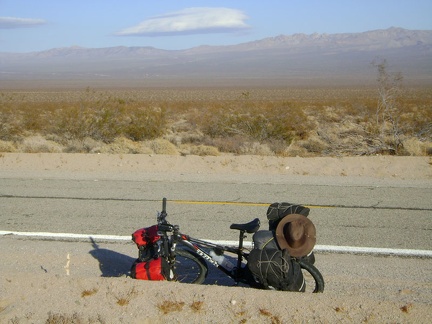 I pause on the way up Kelbaker Road to eat an energy bar and look across Kelso Valley toward the Mid Hills
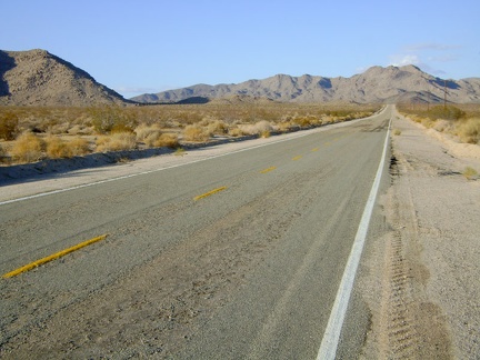 Heading toward the Marl Mountains as I climb Kelbaker Road out of Kelso, Mojave National Preserve
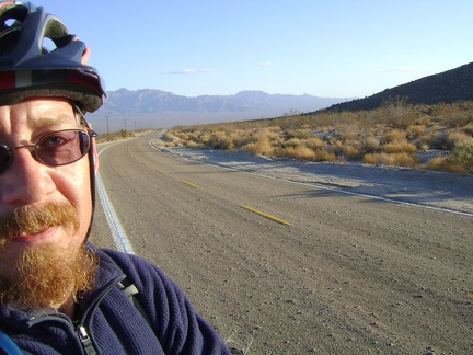 20 minutes later, I'm around the bend on Kelbaker Road, with the Providence Mountains further and further behind me
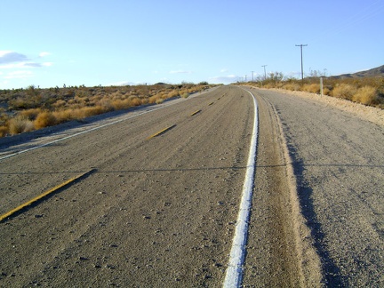 Up, up, slowly up Kelbaker Road, Mojave National Preserve
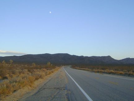 As I get closer to the Kelbaker Road summit, the moon rises behind me
 I reach the Kelbaker Road summit at the power lines just after 16h and stop for a quick energy-bar break
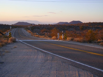 I put on my windbreaker for the easy 20-mile downhill to Baker, and off into the sunset we go
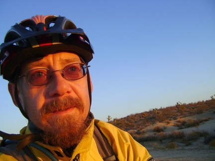 I catch the red rays of sunset as I pedal down Kelbaker Road toward Baker
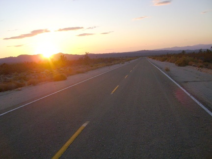 It's still and silent as I ride into the sunset on Kelbaker Road
 Sunset fades into dusk, then darkness joins me while I enjoy the final 12 miles of the ride into Baker
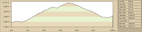 Elevation profile of bicycle route from Devil's Playground to Cornfield Spring Road via Jackass Canyon and Kelso Depot
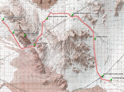 Bicycle route from Devil's Playground to Cornfield Spring Road via Jackass Canyon and Kelso Depot
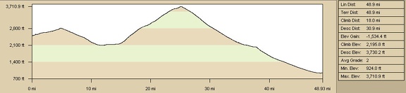 Elevation profile of bicycle route from Kelso Dunes area to Baker via Kelbaker Road
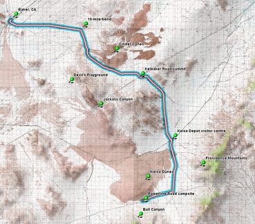 Bicycle route from Kelso Dunes area to Baker via Kelbaker Road
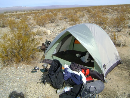 OK, everything out of the tent, it's time to pack up and leave!
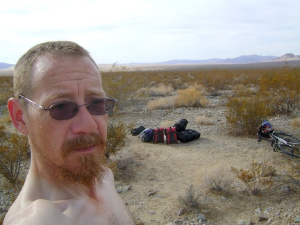 Despite the near-freezing overnight temperatures, I'm shirtless and sweating a bit as I pack up in the warm morning sun
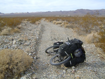 The 10-ton bike slithers down Cornfield Spring Road at 5-7 miles per hour toward Kelso Depot
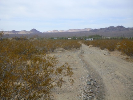 As I approach Kelso, I see an RV driving up the paved Kelbaker Road
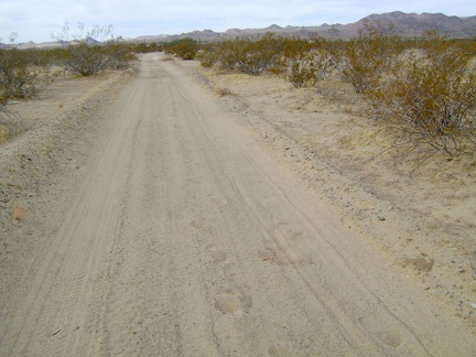 The final part of Cornfield Spring Road, which is shared with the road to Rex Mine, is quite sandy
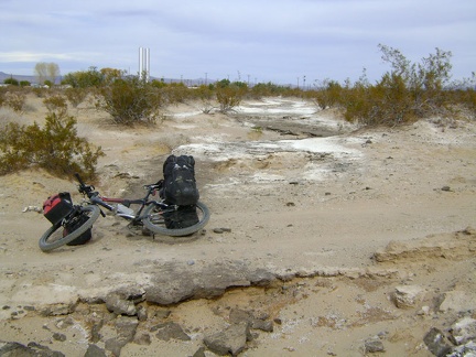 Just before reaching the real pavement near Kelso Depot is an old washed-out road that was once paved
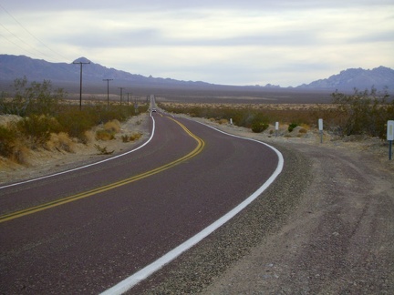 My long stop at Kelso Depot was a lot of fun, but now it's time for the gentle 8-mile climb up Kelbaker Road to Kelso Dunes Road
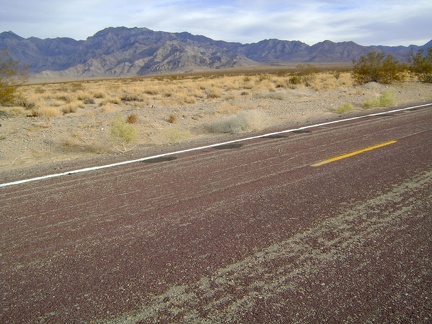 On my left as I climb Kelbaker Road are the Providence Mountains, where I hiked the past two days
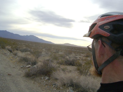 On my right as I climb Kelbaker Road, the usually vivid Kelso Dunes pale in the murky light of the cloudy afternoon
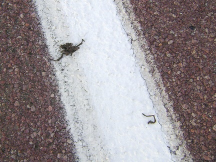 It looks like a tarantula was run over by a car here on Kelbaker Road
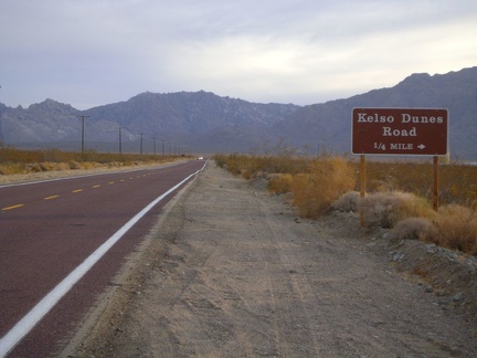 My 8-mile climb up Kelbaker Road ends when I reach Kelso Dunes Road, at about 2800 feet elevation, and turn right
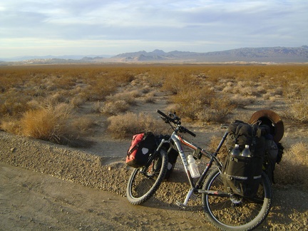 As I start down Kelso Dunes Road, I pause for the views across to Devils Playground and the Old Dad Mountain area
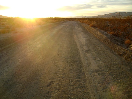 With the setting sun in my eyes, I ride more quickly than usual down Kelso Dunes Road because the surface has just been graded
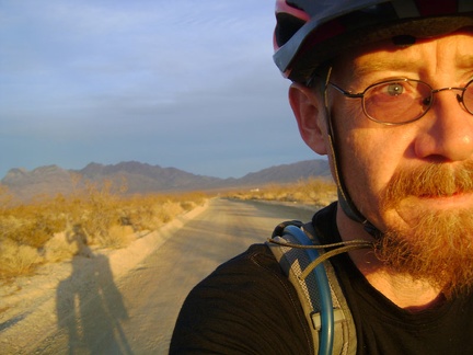 It's that time of day again when the Mojave Desert sunset briefly illuminates everything in its own special way
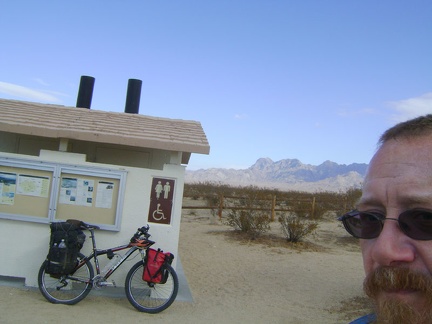
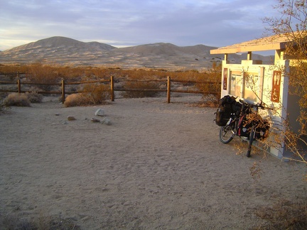 I make a quick stop at the Kelso Dunes outhouse at the base of the official hiking "trail" up the dunes
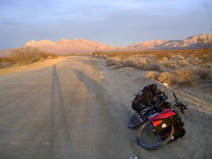 A few moments after visiting the Kelso Dunes outhouse, it's time to dismount again and check out the lighting effects behind me
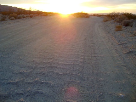 It turns out that the final mile of Kelso Dunes Road has not been freshly graded, and is the usual sand and washboard
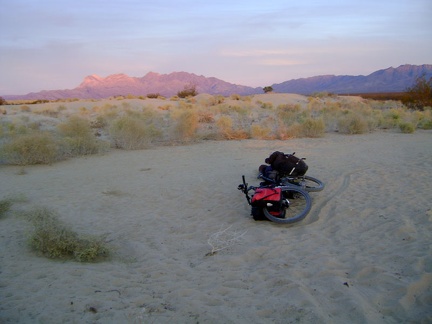 I take a very short break at the end of Kelso Dunes Road, enjoying the pink Providence Mountains, to consider my camping options
 One possibility is to stash my bike behind a creosote bush and walk my belongings into the adjacent Wilderness area
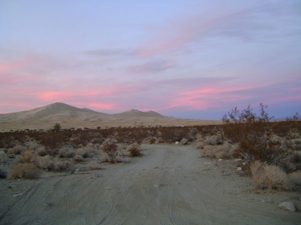 I decide that the best choice is to simply leave Kelso Dunes and its campers behind and head west down the power-line road
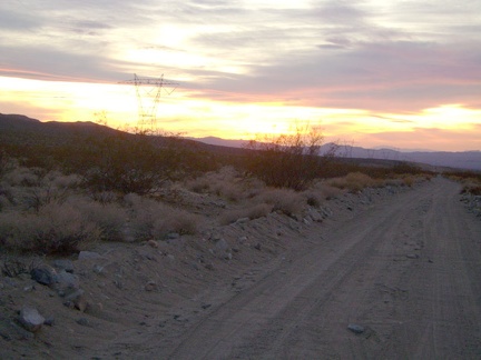 Sunset on the Kelso Dunes power-line road is nice, and the road starts out being OK for riding
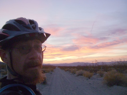 The Kelso Dunes power-line road is getting sandy, so I'm now walking the bike a bit; time to find a campsite!
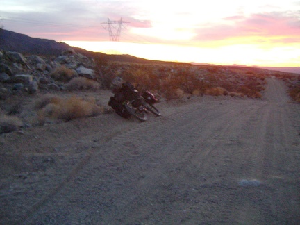 Hmmm... maybe there's a campsite for me on the raised rocky area to my left?
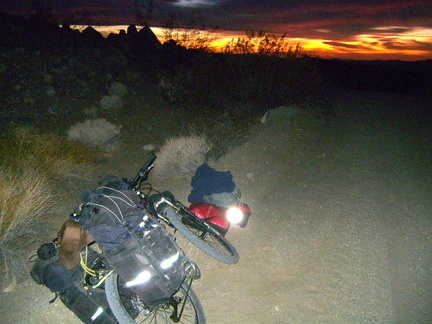 Success! I found one flat, wide-enough, non-rocky spot above the road, so I'm back at the bike to dismantle it and set up camp
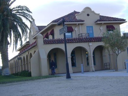 I spend two hours at Kelso Depot, longer than expected, chatting with staff and a couple of bicyclists on their way to Las Vegas
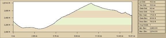 Elevation profile of bicycle route from Cornfield Spring Road to west of Kelso Dunes by bicycle
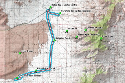 Elevation profile of bicycle route from Cornfield Spring Road to west of Kelso Dunes by bicycle
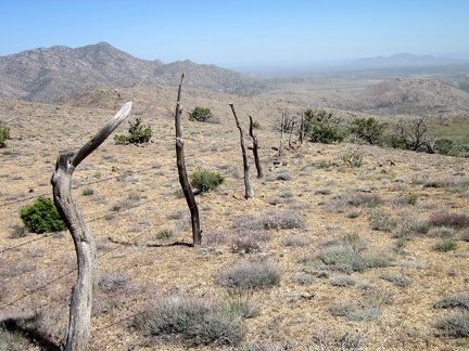 Historic fencing
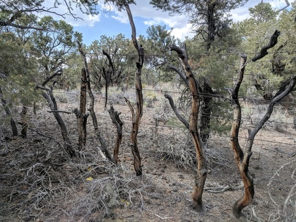 Historic fencing
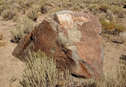 Historic bird perch
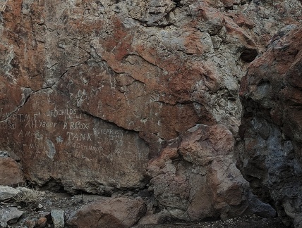 We were here
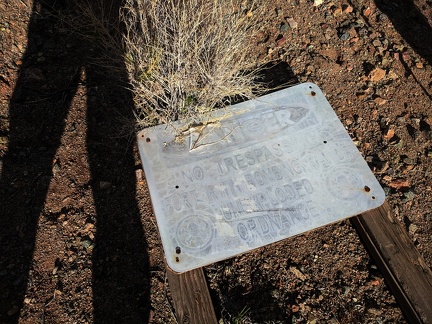 Unexploded ordnance
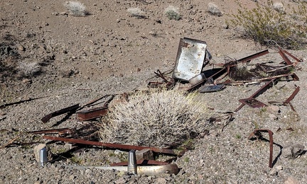 Slow burial
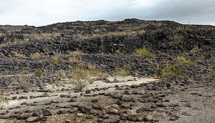 Not quite random
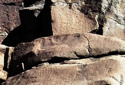 Etched into the rock
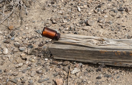 Mining claim in a bottle
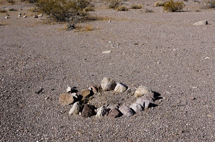 Abandoned fire ring
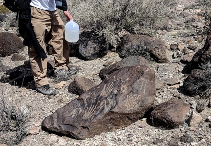 In the backcountry
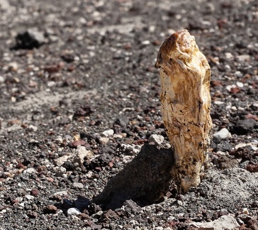 Desert mushroom on a hot day
 Creeping shadows
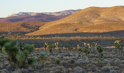 Waiting for sunset
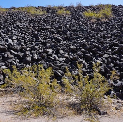 Creosote bush family
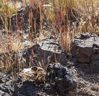 Skull and desert buckwheats
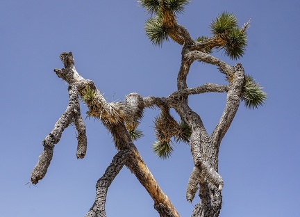 Entwined Joshua tree
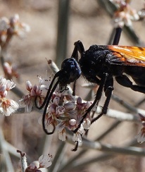 A tarantula hawk hugs a bouquet of buckwheat blossoms
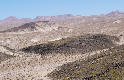 100 degrees F in the smoky haze
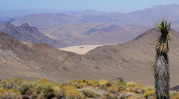 Bright sunshine and a bit of smoke in the air as I look down toward "The Racetrack" in Death Valley National Park
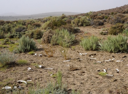 Bone scatter
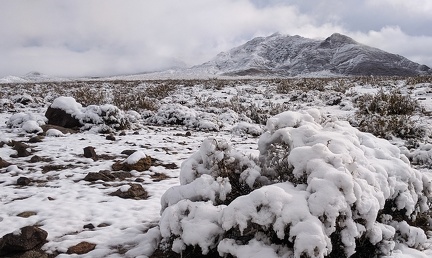 Thanksgiving 2019 snowfall melts away
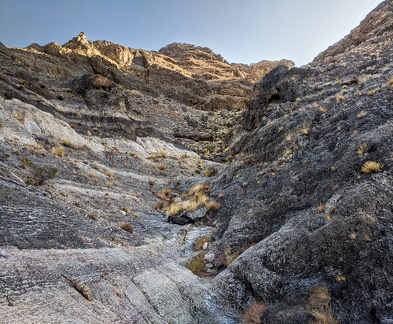 Staircase
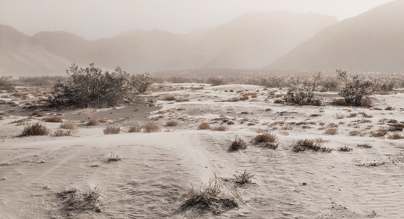 Sandstorm, Eureka Valley
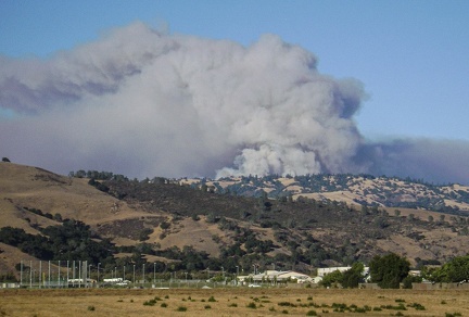 The 2007 Henry Coe Park fire grew significantly in the hours since I left the park
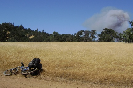 The huge 2007 Henry Coe Park fire starts small and innocently on my way out of the park after a week-long bikepacking trip
 Warm sunshine ahead
 Distant dunes
 March to the gateway
 Desert rock garden
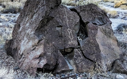 Upward
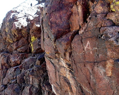 A, but not B
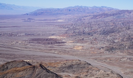 Funeral Mountains drainages
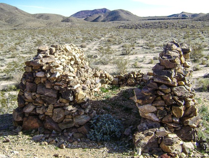 Rock walls
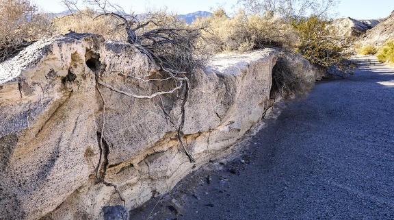 Root system
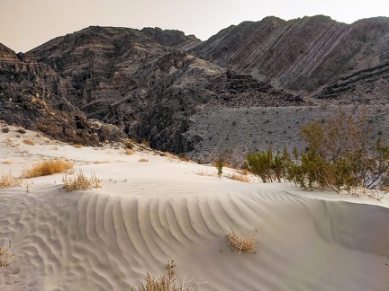 Sand platform
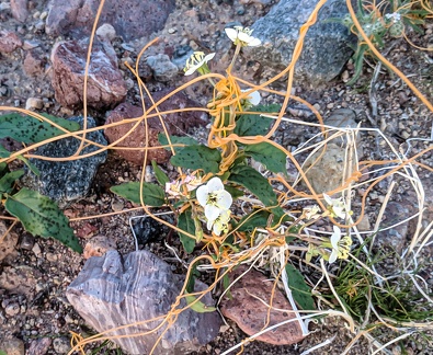 Dodder and desert primrose
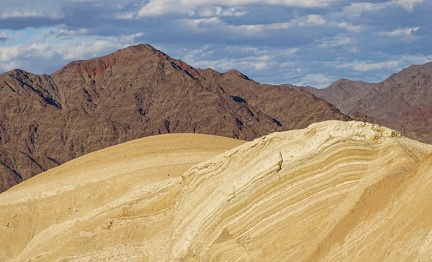 Curves, points and clouds
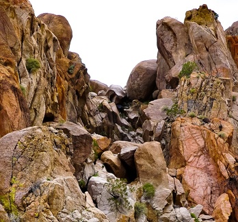 A way through
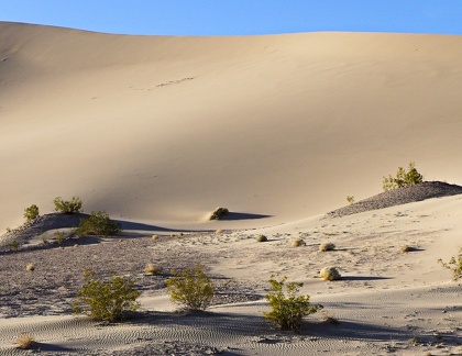 Slab dune
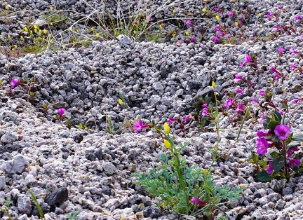 Desert poppies, Bigelow's monkeyflowers and gravel
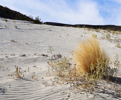 Fluffy in the breeze
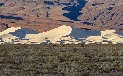 Early sunrise, Eureka Dunes
 Joshua tree and buckwheat
 Webs
Webs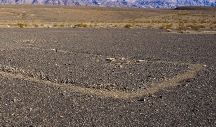 Outline
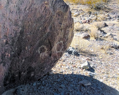 Hiding petroglyphs
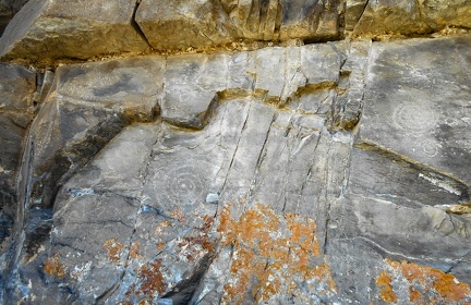 Fading petroglyphs
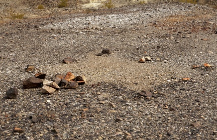 Rectangle
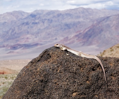 Just enjoying the view...
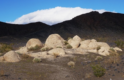 On-stage
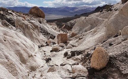 Tic tac toe
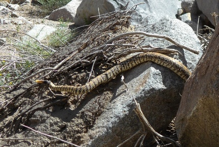 Rattlesnake tip
 Juxtaposition
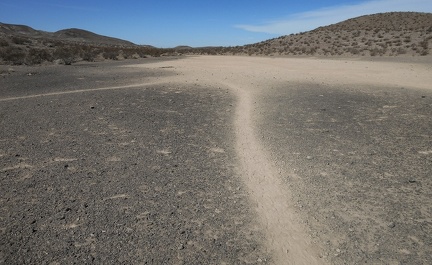 Burro trails
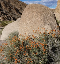 Desert mallow and granite
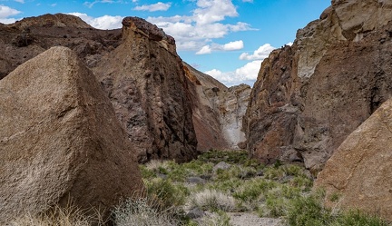 Walk of giants
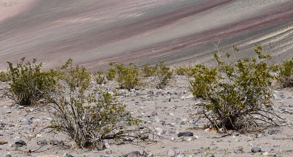 Creosote bush family
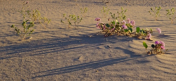 Desert abronia
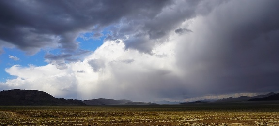 Storm clouds
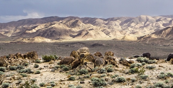 Outpost
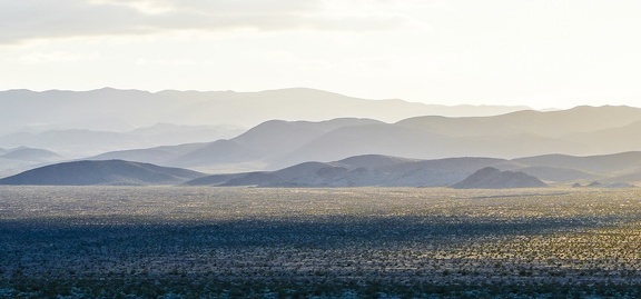 Afternoon haze
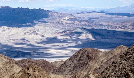 Cloudy day
 Desert beach
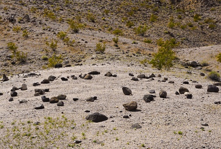 Ring of rocks
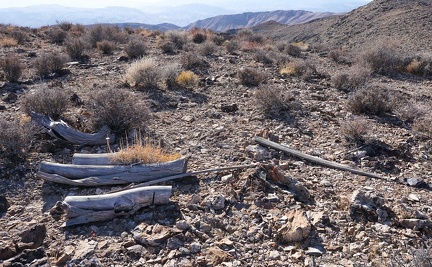 Abandoned firewood from years ago
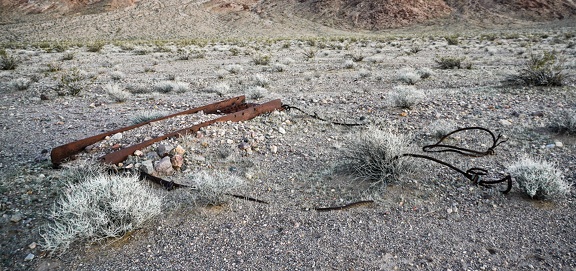 Implement
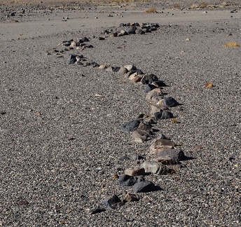 Snake #1
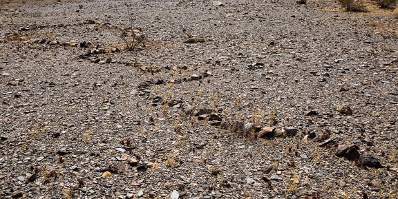 Snake #2
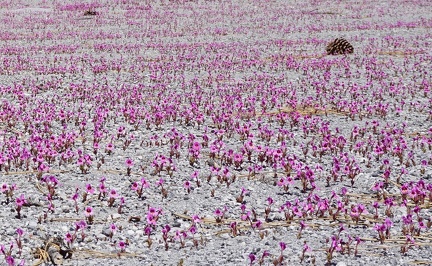 Bigelow's monkeyflowers and pine cones
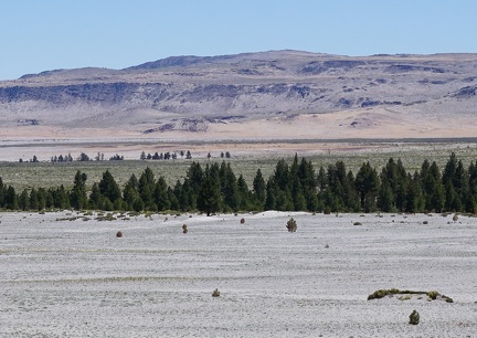 Granite Mountain Wilderness
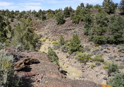 Dry wash, Humboldt-Toiyabe National Forest
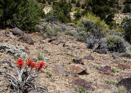 Indian paintbrush, Humboldt-Toiyabe National Forest
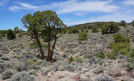 Elderly juniper tree, Humboldt-Toiyabe National Forest
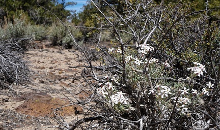 Phlox, Humboldt-Toiyabe National Forest
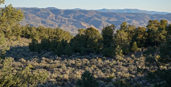 Morning, Humboldt-Toiyabe National Forest
 Wallflower, Humboldt-Toiyabe National Forest
 Road, Humboldt-Toiyabe National Forest
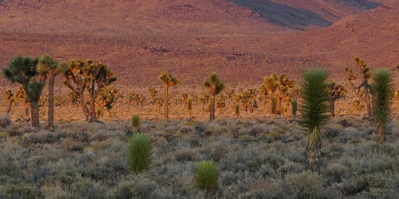 Evening stroll, Death Valley National Park
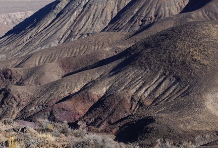 Scratches on the earth
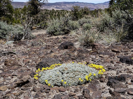 Buckwheat, Humboldt-Toiyabe National Forest
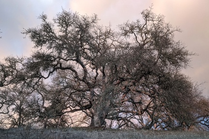 Afternoon stroll under changing skies
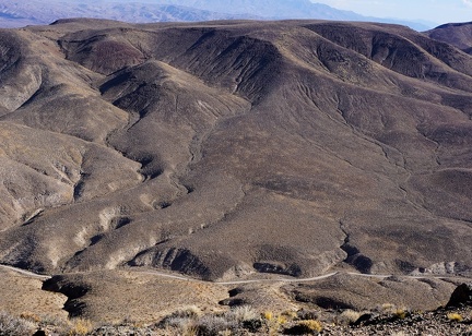 Drainages and road
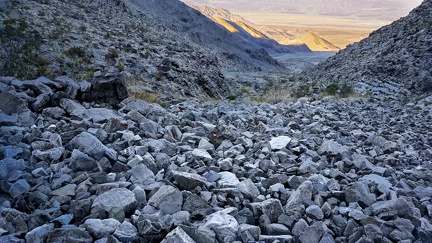 Light in the canyon dims first, and then the temperature starts dropping rapidly, as sunset approaches
 Dripping cliff
 Penguin man
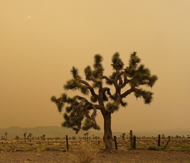 Joshua tree on a smoky afternoon
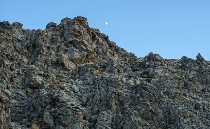 Moonscape
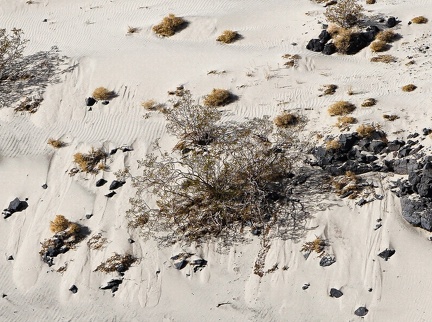 As if breathing, sand-drifts stick to the hillside, collapse under their own weight and slide down, over and over again
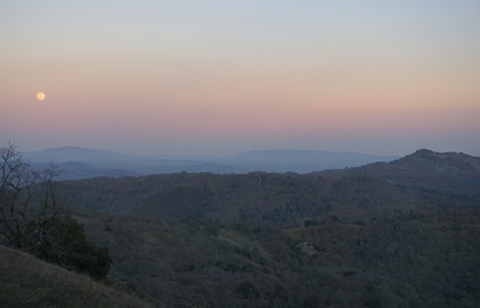 Dusk, Wagon Road
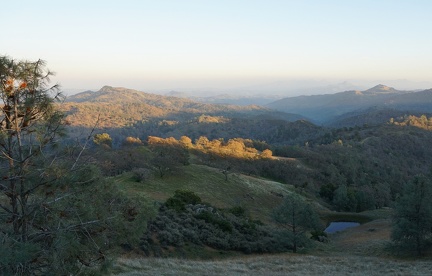 Cattle pond near Wagon Road
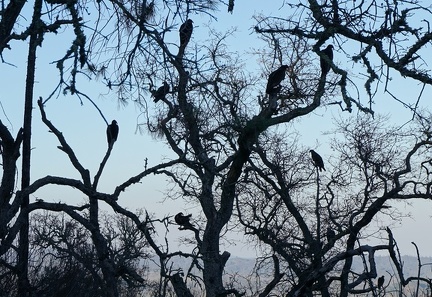 Tree of vultures, Center Flats Road
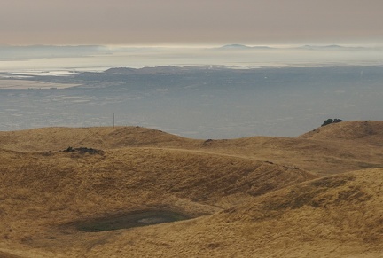 Smoke over San Francisco Bay, August 2020
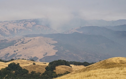 Smoke over the Diablo Range near Calaveras Reservoir, August 2020
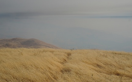 Smoke in the Monument Peak area, August 2020
 Eureka Dunes
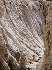 White drapery
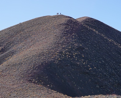 Winters Peak, Death Valley National Park
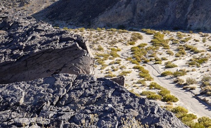 Dry waters
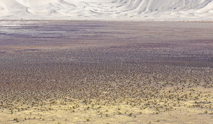 End of day
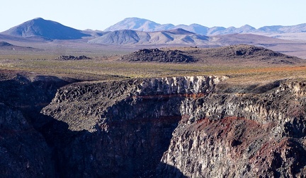 Looking across the Darwin Plateau
 Desert rock garden
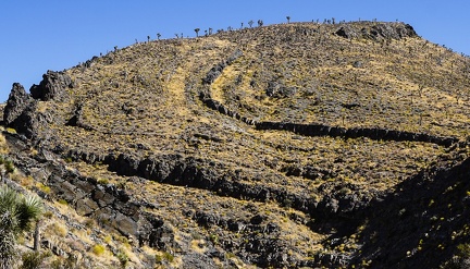 Swirling hillside
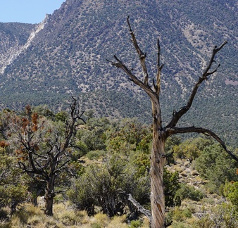 After the fire, Death Valley National Park highlands
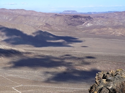 A glance across the Nevada border from the Last Chance Range
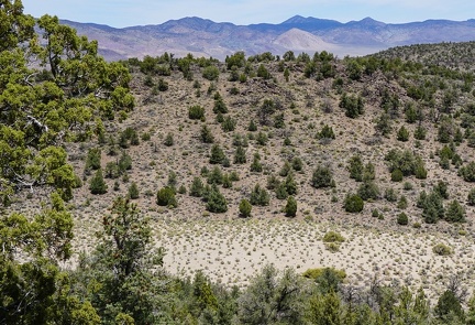 A little dry lake down there to explore
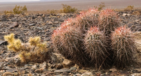 Cactus buddies
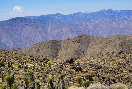 Distant puff of smoke
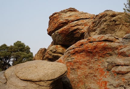 Pancake Rock and the hungry orange lichen monster
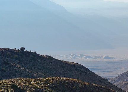 Morning sun busts through the smoky haze of the California fires
 In the smoky sunlight of the California fires, a tree charred in a previous fire slowly returns to the earth
 Crossing
 Solitude at a small dry lake in the backcountry
 Social distancing for plants
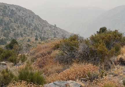 Rosy buckwheat flowers overlook a smoky canyon in the highlands of Death Valley National Park
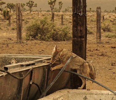 Slow-moving coyote in the smoky afterglow of the California fires finds residual water in a hose at a decommissioned cistern
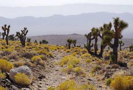 Joshua trees and yellow rabbitbrush, Death Valley National Park
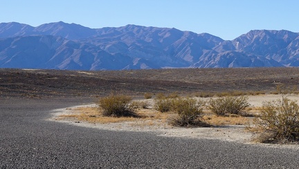 Quiet moment at the end of a pristine dry lake
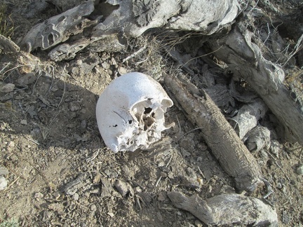 Human skull, Mojave National Preserve, 2014
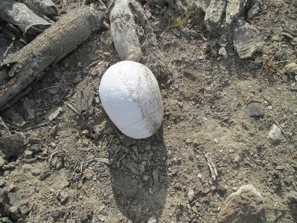 Human skull, Mojave National Preserve, 2014
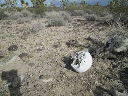 Human skull, Mojave National Preserve, 2014
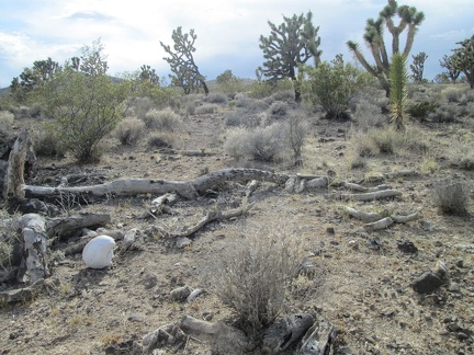 Human skull, Mojave National Preserve, 2014
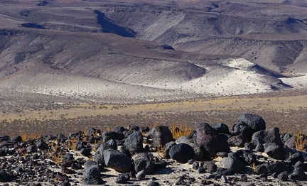 Those darker hills, with their simple lines and angles, Death Valley National Park
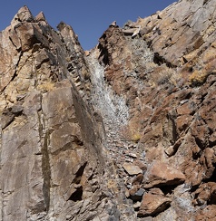 Gravity, Death Valley National Park
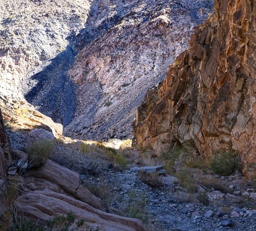 Sunshine warms a chilly Death Valley canyon
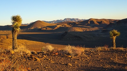 Simple sunset, Death Valley National Park—nothing to do but watch it change
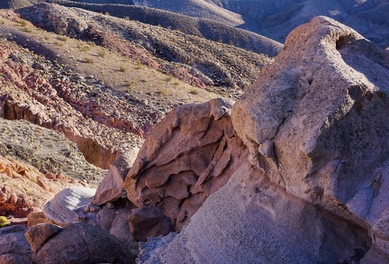 Erosion, Death Valley National Park, Fall 2020
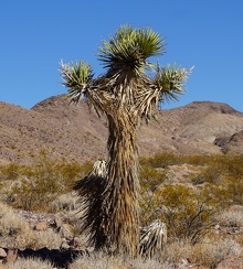 The Joshua tree orator welcomed me with open arms that day, happy to greet a human for the first time in a long time, and assured that miles walked up this nameless and unassuming Death Valley canyon would be worth the effort
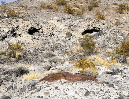 Wry Canyon smiles back at me, Death Valley National Park.
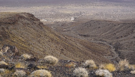 Gentle downhill, Death Valley National Park.
 Jagged shadow, Death Valley National Park
 A cholla cactus watches me from a safe distance, Death Valley National Park
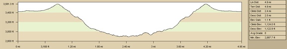 Elevation profile of Old Government Road day hike to Piute Spring from Piute Gorge campsite
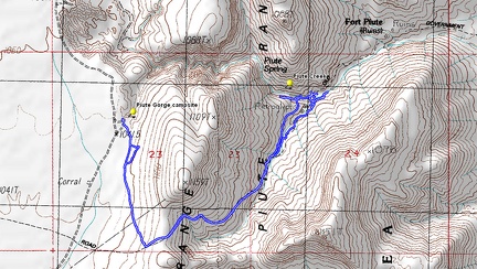 Route of Old Government Road day hike to Piute Spring from Piute Gorge campsite
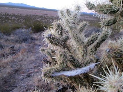 A bird feather is stuck in this cholla cactus
 I arrive home at the tent just as it's getting dark; my first job is to add chlorine tablets to my water, to make if drinkable
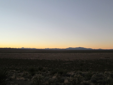 I drop down a final 150 feet with views across the entire Lanfair Valley to the New York Mountains
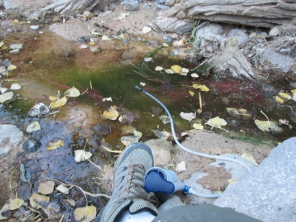 I pick this spot in the shallow stream, just deep enough to filter water; lots of cottonwood leaves floating around
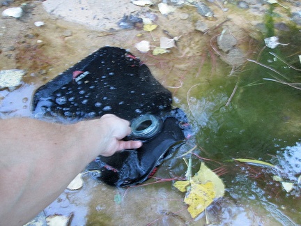 Ooops, my water filter has clogged, so I resort to dipping my 10-litre water bag in the stream
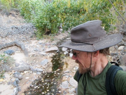 My water bag is 3/4 full now, so it's time to leave the quiet babbling brook and walk back up the hill to my campsite
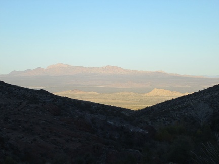 It's about 30 minutes before sunset, perfect time to be climbing a big hill in the Mojave Desert
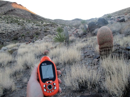 I end up off-trail for a short distance on my way up the hill
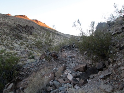 I'm on the Old Government Road again here (the old alignment of what we today call the Mojave Road)
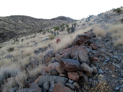 Another view of the Old Government Road roadbed
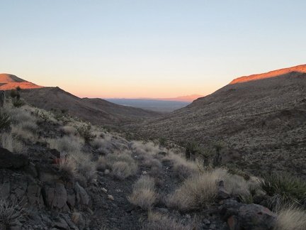 I turn around on my way up the Old Government Road to take in the sunset
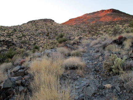 Almost at the top!