Home 7119

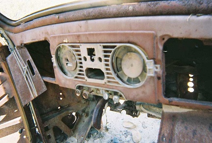 It's fun to pull gently at knobs on the old car's dashboard to see if they budge
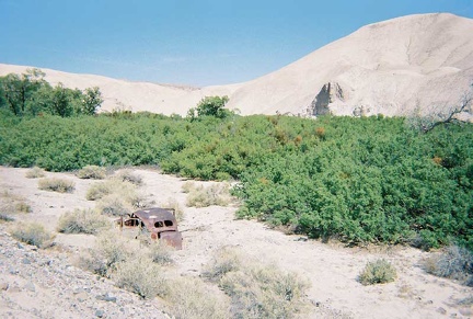 An old automobile carcass near the 100-year-old saloon ruins
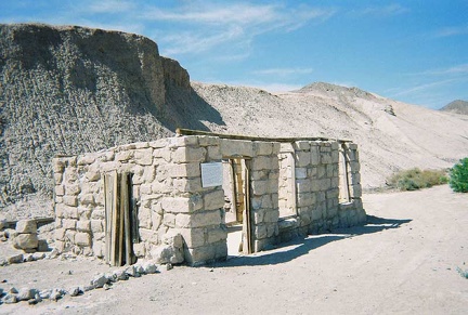 Over on the west side of the Amargosa River is the ruins of an old stone saloon from 100 years ago
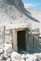 Cold storage behind the old stone saloon
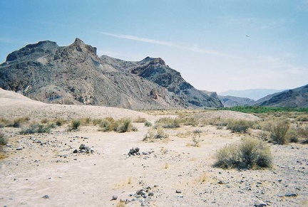 The trail on the east side of the Amargosa River heading south away from China Ranch
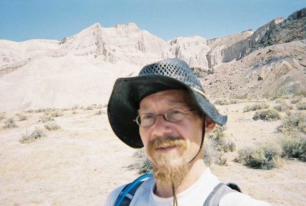 Walking along the Amargosa River trail
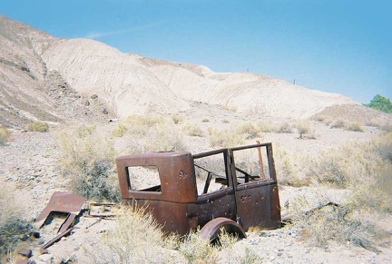 An old truck near the Amargosa River
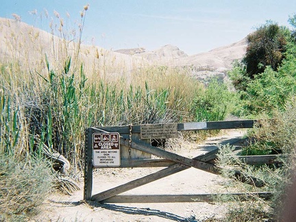 I begin a long walk down the Amargosa River
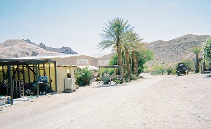 The China Ranch bakery and store at the end of China Ranch Road
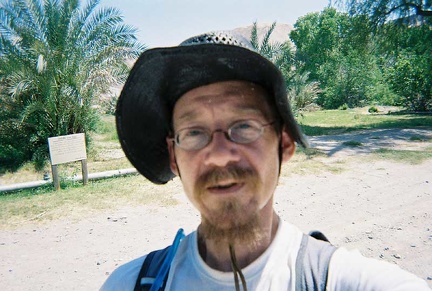 Standing in front of their extensive date-palm orchard
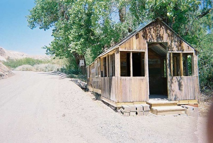 A cabin along China Ranch Road near the store
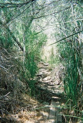 I walk down the short creek trail behind the China Ranch bakery and store
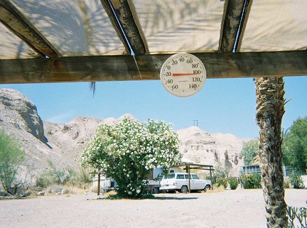 The temperature exceeds 100 degrees F under the ramada outside the China Ranch store
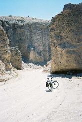 Farther into the canyon on China Ranch Road
 I head downhill into the canyon toward the China Ranch date farm
 I've read about the steep downhill on the China Ranch Road here, but I haven't seen it yet
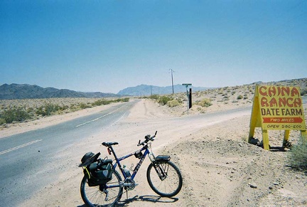 I ride up the Old Spanish Trail Highway's gentle hill, which leads out of Tecopa toward the Kingston Range
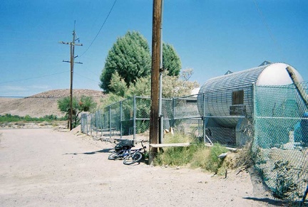 During my ride to China Ranch date farm, I stop at the public water tank behind Tecopa School to refill my my water bottles
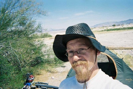 Late morning at my Tecopa Hot Springs camp site by the mesquite bush
 An old car and trailer near my camp site at Tecopa Hot Springs Campground
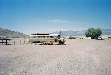 An old bus converted to camper at Tecopa Hot Springs Campground
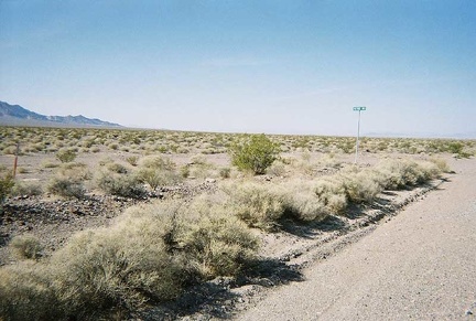 Petro Road
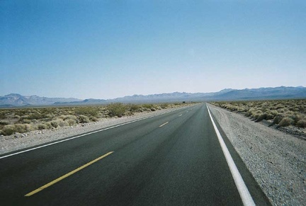 Leaving the blit of civilization that is Death Valley Junction
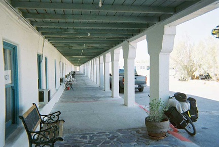 Covered walkway in front of the opera house
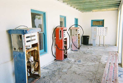 Old gas pumps sit in an alcove along the opera house's covered walkways
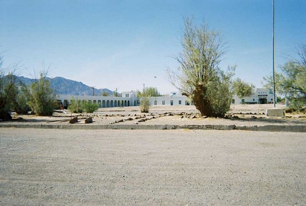 The Amargosa Opera House complex is really quite large and parts of it are not in use
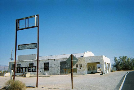 The former service station across the road from the Amargosa Opera House
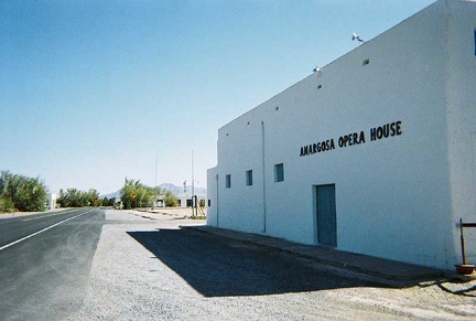 The Amargosa Opera House is the main building in Death Valley Junction
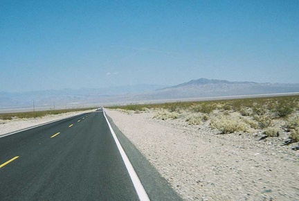 The tiny village of Death Valley Junction sits off in the distance another 7 miles or so
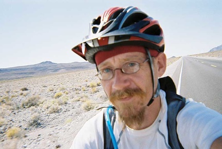 Back on Highway 190, I begin the slow descent to Death Valley Junction some 15 miles further and 1000 feet lower
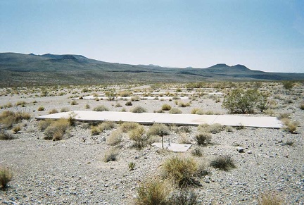 More at the abandoned campground
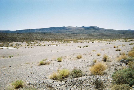 The old road through the trailer park hasn't returned to nature
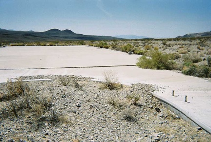 Standing in the middle of the abandoned campground's swimming pool
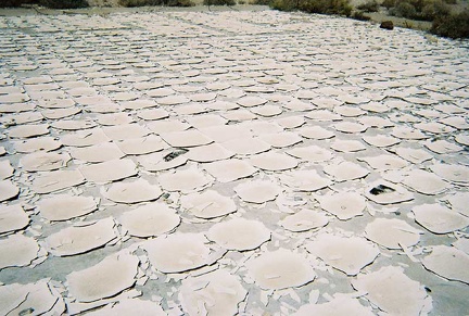 More of the old tiled floor at the former campground's entrance
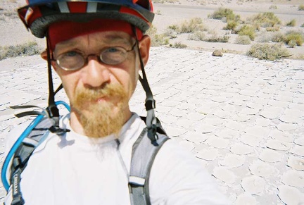 Standing in the middle of what was probably the campground's office
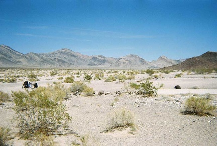 At the summit of Highway 190 in the Funeral Mounatins is the remains of an extensive RV camping park (or something like that)
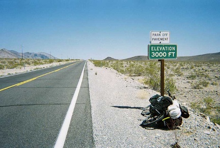 3000 feet, I'm almost at the top of my climb out of Death Valley
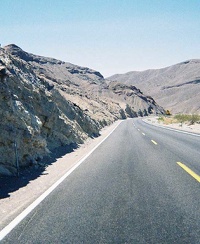 Higher up in the Funeral Mountains and looking back down
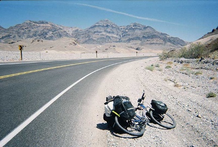 Rising up into the Funeral Mountains on Highway 190
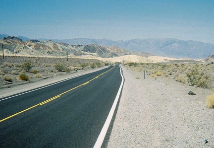 Higher above Zabriskie Point on Highway 190
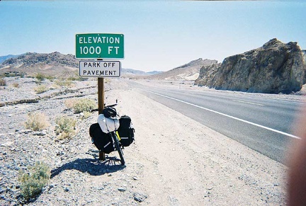 I reach the 1000-foot point of elevation gain on the way out of Death Valley
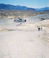 Leaving Zabriskie Point
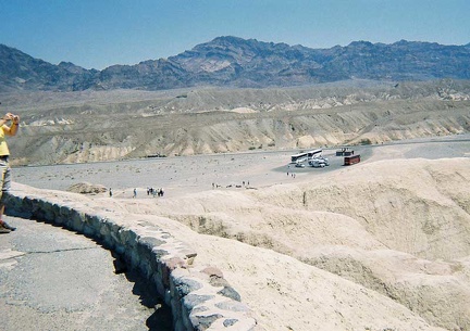 Looking down toward Highway 190 from Zabriskie Point; my world is slanted
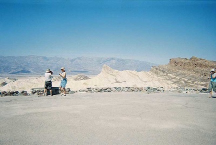 I stop for a toilet break at Zabriskie Point, just above Death Valley
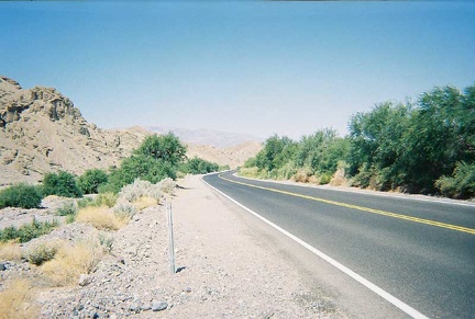 Lots of greenery a little further up Highway 190
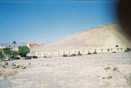 On the way out of Furnace Creek
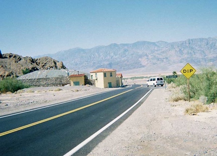 OK, I've really left Furnace Creek now
 Just before leaving Furnace Creek
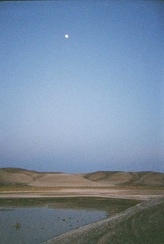 Grimshaw Lake has an eerie appearance at sunset when captured by high-speed, grainy, disposable-camera film
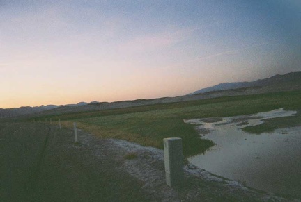 Any body of water out here in the dry desert, however small, beckons for attention
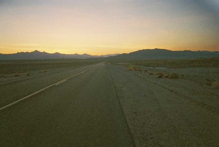 The light dims here on Tecopa Hot Springs Road
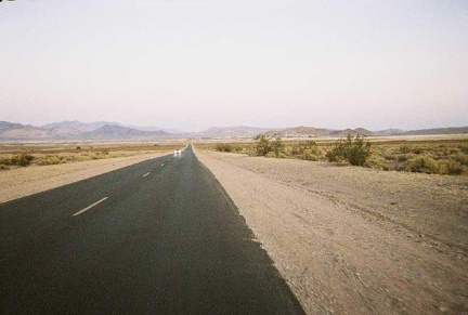 I turn off Highway 127 onto Tecopa Hot Springs Road
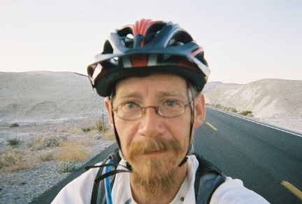 Riding down Highway 127 through the badlands between Shoshone and Tecopa Hot Springs
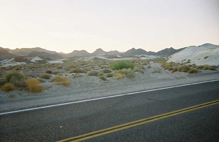 The badlands along Highway 127 near Shoshone and Tecopa always get my interest
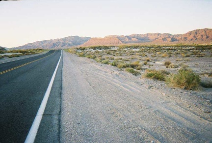 Riding from Shoshone to Tecopa Hot Springs near sunset
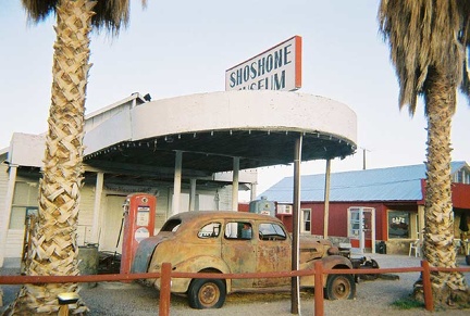 A quick stop at the Shoshone Museum, across the road from the store
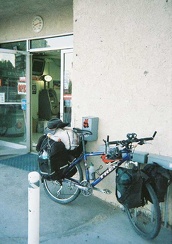 The 10-ton bike and its sore knee take a break at the Shoshone general store and gas station
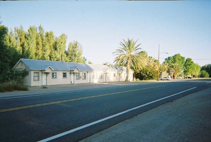 A row of cabins along Highway 127 in "downtown" Shoshone
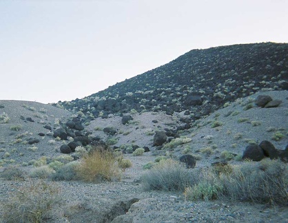 Black rocks that look like giant charcoal briquets
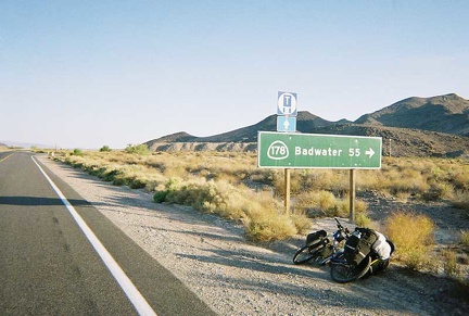 This sign for Badwater, 55 miles, tells me that my loop through Death Valley is now complete
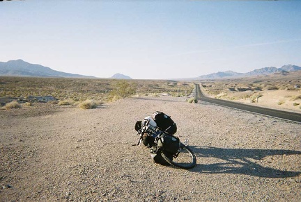 I stop for a break and look back at Eagle Mountain, which I passed a while ago
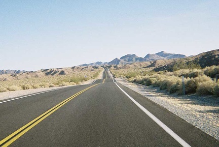 A series of short hills surprise me along southbound Highway 127
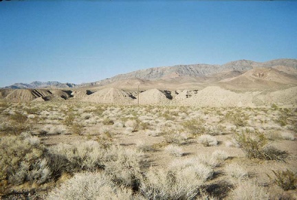 Interesting earth piles in front of the Resting Springs Range along Highway 127
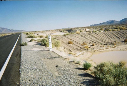 Flood markers along Highway 127
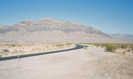 A bit of drama on southbound Highway 127
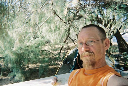 Me, hot but content, sitting in the shade of the athel trees
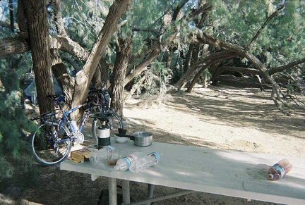 I'm lucky enough to get one of the Furnace Creek campsites in the athel trees
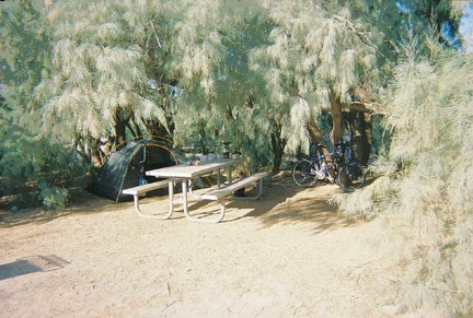 A view of the athels and their shade from my tent
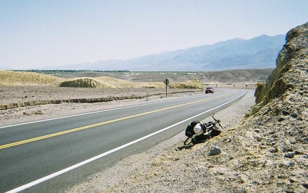 I slowly approach Furnace Creek Campground, that green patch in the centre of the photo
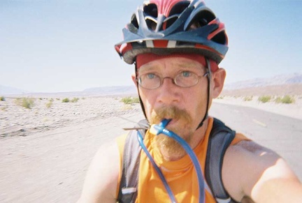 I suck back lots of now-hot water from my Camelbak on this hot ride down Highway 190
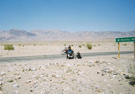 About nine miles further on Highway 190, while riding south down the other side of Death Valley, I pass the Beatty Cutoff
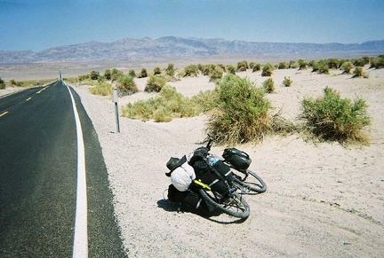 Another view of the Devil's Corn Field area along Highway 190
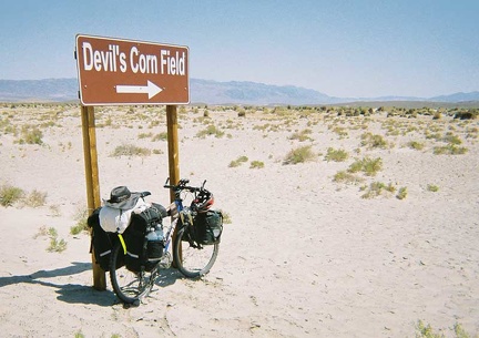 The 10-ton bike takes another brief break at the Devil's Corn Field
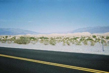 Beyond Stovepipe Wells, I cross Death Valley on Highway 190 and stop to look at the Death Valley Dunes
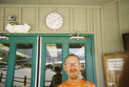 Gasp, it is hot here
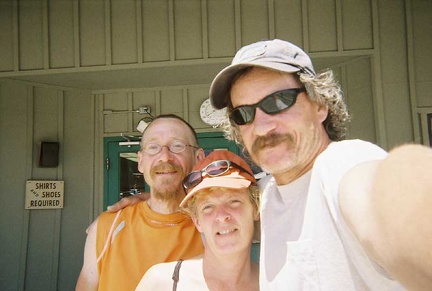 After 10 fun, hot downhill miles to the Stovepipe Wells store for cold drinks, who pulls up but Phil and Renée!
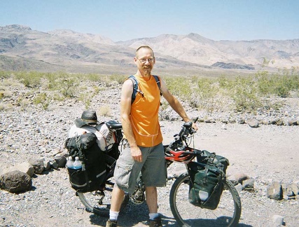 Ready to leave Emigrant Campground, the contents of my camp site are packed on the 10-ton bike again
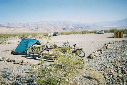 One last view of the vacant Emigrant Campground on this hot, sunny morning before packing up
 It's starting to get dark as we drive over Hunter Mountain
 Finally, we start our long descent into Death Valley on Hunter Mountain Road, through the pine trees
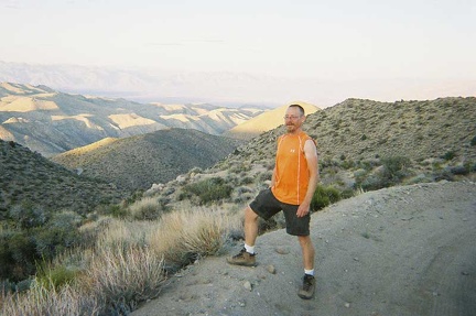 We find ourselves at the top of the Goldbelt Grade at a time of day when photographers come out
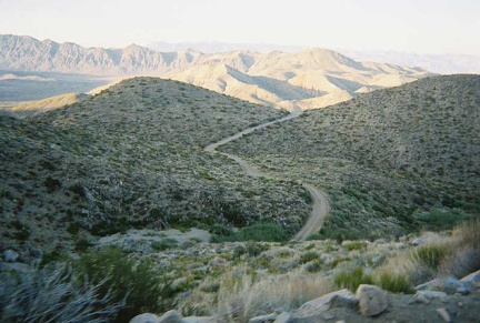 We start the climb up Goldbelt Grade to get over Hunter Mountain by dark
 A closer view of Goldbelt Spring's truck
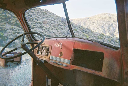 The dashboard inside the old truck at Goldbelt Spring
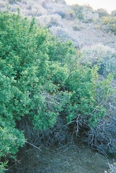 Close-up of the giant wild roses at Goldbelt Spring
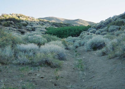 We arrive at Goldbelt Spring and its thicket of head-high wild roses (the dark green patch in the middle of the photo)
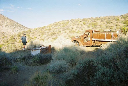 Phil walks over to Goldbelt Spring's old truck
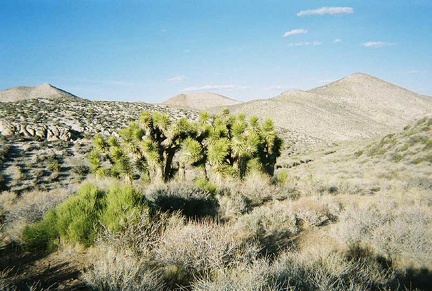 We drive 10 miles across Hidden Valley toward Goldbelt Spring
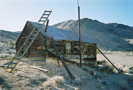 The Lost Burro Mine's cabin
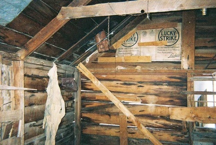 Inside the Lost Burro Mine's cabin
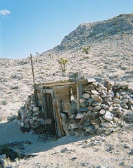 The "cold storage house" at Lost Burro Mine
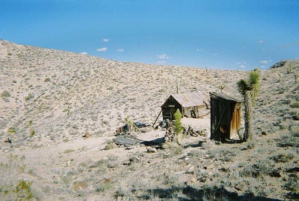 After our visit to The Racetrack, we head over to the old Lost Burro Mine site
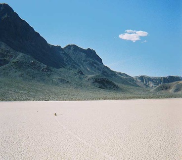 Another important photo for any Death Valley travelogue
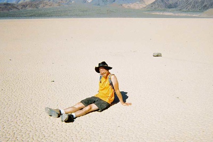 I sit down on The Racetrack playa, like I might do at any other beach
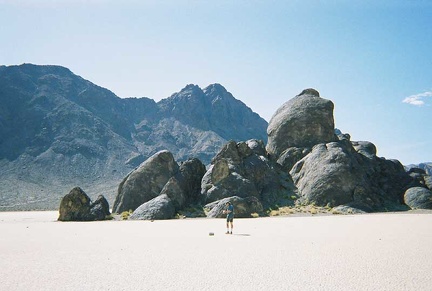 Phil walks out toward The Grandstand
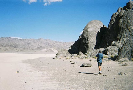 Phil stands on "the beach" at The Grandstand, in the middle of The Racetrack playa
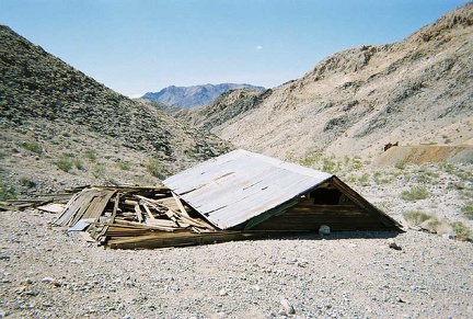 Down at the collapsed building at the old Ubehebe Mine site
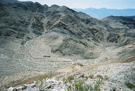 There seems to be no mine up here on this hill
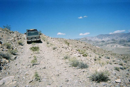 We drive 1/2 mile up a short steep road that we pass a couple of miles after Teakettle Junction
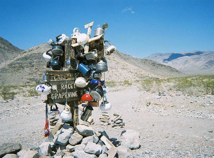 No Death Valley backroad trip is complete without a photo of the tea kettles at Teakettle Junction
 On the way from Ubehebe Crater to The Racetrack is a particularly colourful area
 Our first stop is Ubehebe Crater, in northern Death Valley
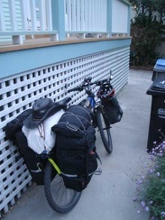 The 10-ton bike is all packed up in my backyard at 5h45
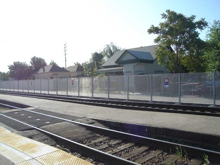 Waiting on the train platform at Stockton after the Amtrak bus ride from San Jose
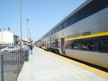 The train from Stockton to Bakersfield makes a stop
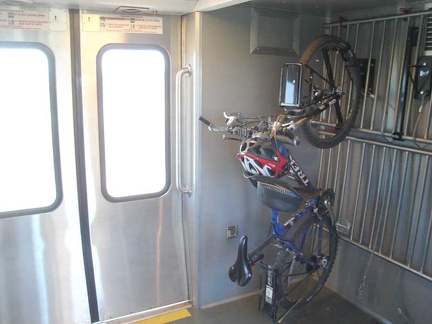 Inside the train from Stockton to Bakersfield
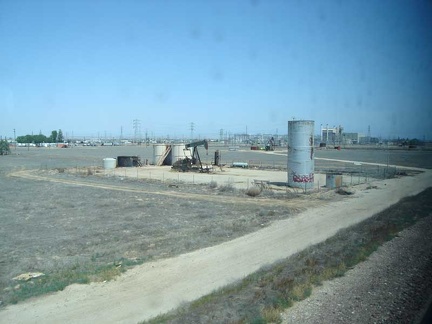 The train approaches the end of its route at Bakersfield
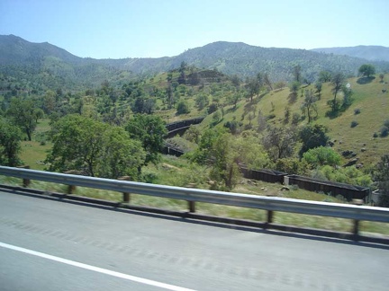 The Amtrak bus out of Bakersfield climbs over the mountains
 On the Amtrak bus from Bakersfield to Barstow (and then Baker)
 The Amtrak bus stops briefly at the town of Mojave, California
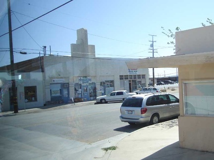 An old art-deco building in Mojave, California
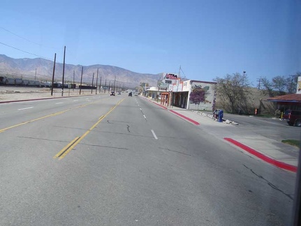 Main street in Mojave, California
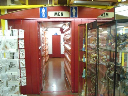 The men's washroom at Barstow Station
 Next stop on the Amtrak bus to Baker is Barstow, at "Barstow Station"
 After leaving Barstow, heading toward Baker (and then Las Vegas afterward)
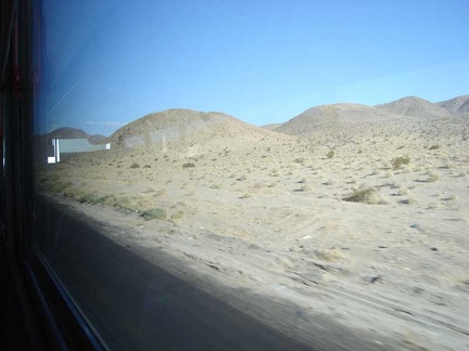 Desert hills
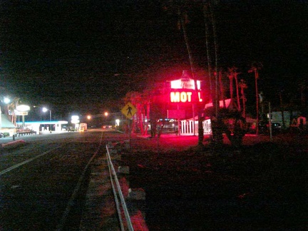 In Baker, I check into a tacky 1970s room at the Royal Hawaiian Motel
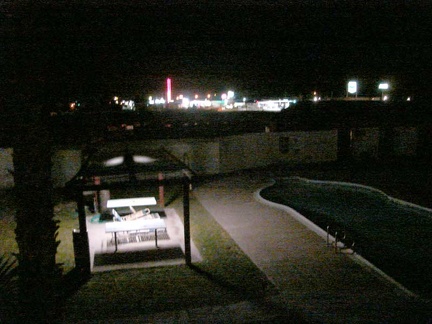 The motel pool below my balcony and Baker's skyline beyond
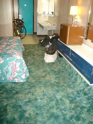 Plush green carpet in my room at the Royal Hawaiian Motel
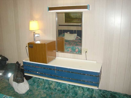 A period set of drawers in my room at the Royal Hawaiian Motel
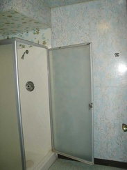 Shower stall in my room at the Royal Hawaiian Motel
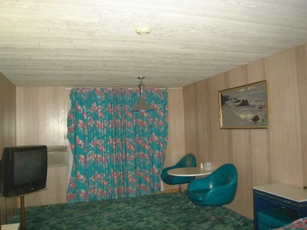 Pretty curtains and dinette suite in my room at the Royal Hawaiian Motel
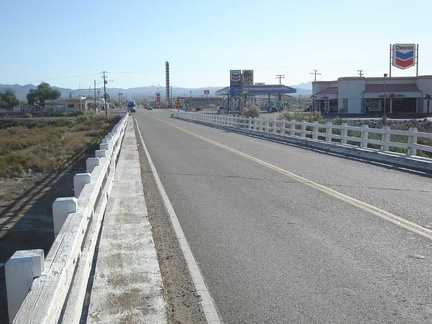 Up bright and early, I go for a walk up the road to the Bun Boy restaurant for breakfast
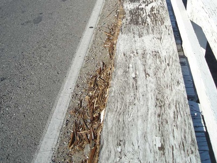 Close-up of the plywood sidewalk on the Baker Bridge
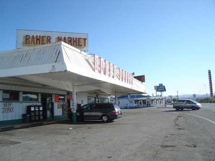 Baker Market, the town's only mom-and-pop store, carries a small vegetable selection and even propane bottles
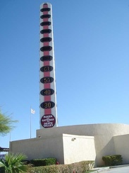 Baker's "world's tallest thermometer" registers a comfortable 61 degrees Fahrenheit this morning
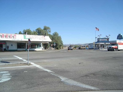 Baker's lone four-way intersection has a four-way stop, which is great when you want to cross the road
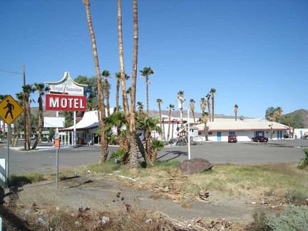 The el-cheapo Royal Hawaiian Motel is overpriced for what it is, but the tackiness of the place has its own special character
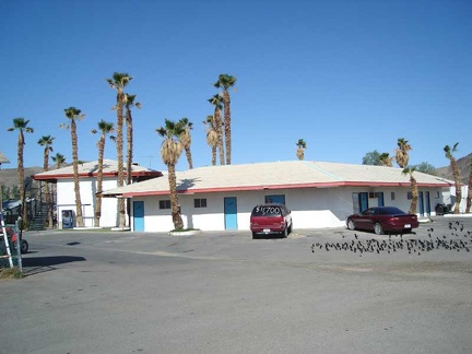 A flock of birds congregates in the Royal Hawaiian's parking lot
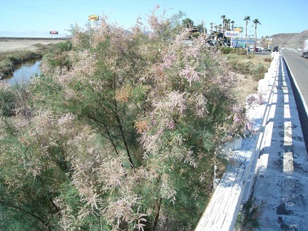 Trees with pink blossoms in the wash under the bridge
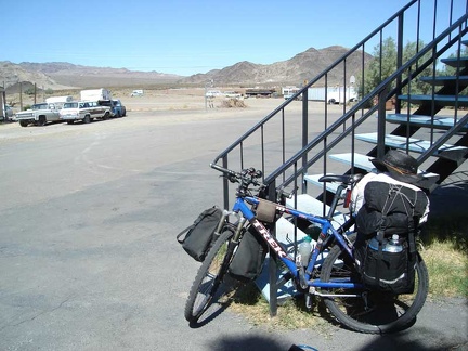 Back at the motel from breakfast, the bike is packed up and ready to leave Baker
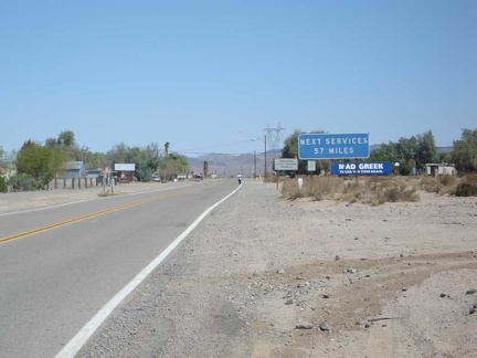 On the way out of Baker on Highway 127
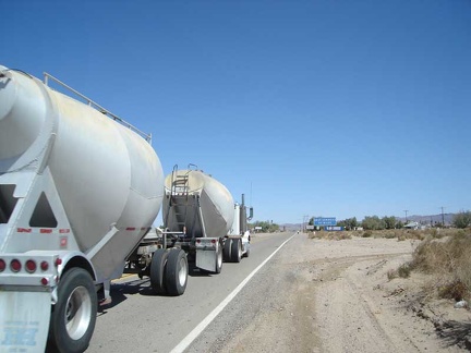 Highway 127 isn't all that busy, but it does have a lot of big rigs driving it
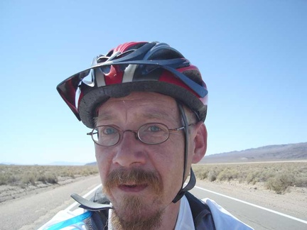 Out on the open road outside of Baker on Highway 127
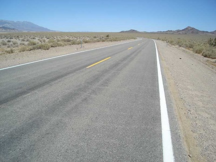 Highway 127 is rather empty once out of Baker
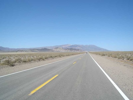 Oh look, an oncoming car on Highway 127!
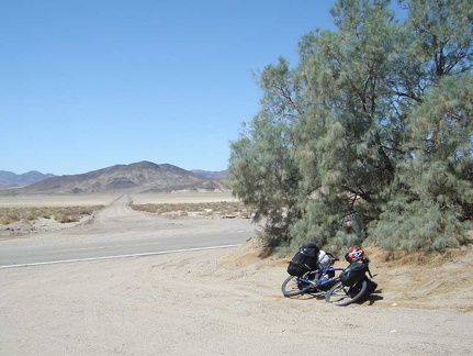 I stop for a quick break across from the road that crosses Silver Dry Lake (very dry right now)
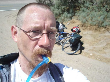 Sucking back my first lukewarm water of the trip
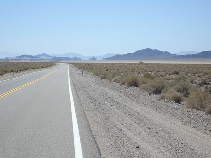 Back on Highway 127, the heat haze makes it look like there are perhaps small lakes in the distance
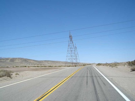 I stop at the power lines that cross Highway 127 ten miles out from Baker and am surprised that my cell phone still works
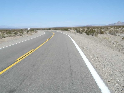 Ooo, a curve on Highway 127 coming up
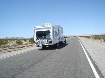 One of many campers passes me on Highway 127
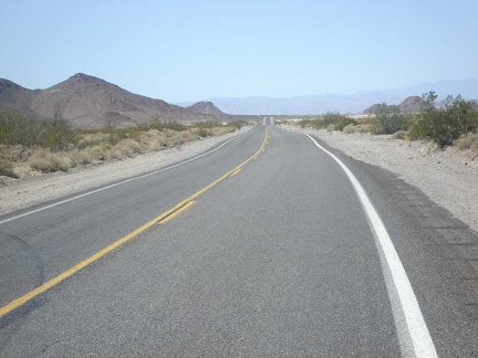 A nice little hump in the highway adds extra texture to the moment
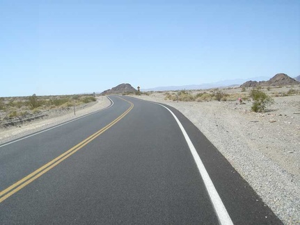 Another curve in Hwy 127
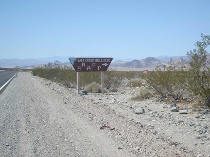 The exit to the Salt Creek Hills ACEC (Area of Critical Environmental Concern)
 I pull into the Salt Creek Hills ACEC to see what's there
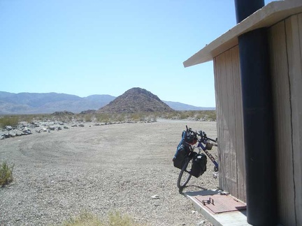 I park my bike, unlocked (there's nobody around), next to the outhouse, and go for a short hike toward Salt Creek
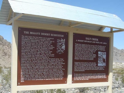 Information panel at Salt Creek Hills ACEC
 The path leading toward Salt Creek from the empty parking lot
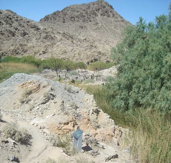 Salt Creek is indeed wet enough to sustain a marshy area
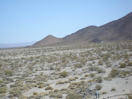 I climb up one of the rocky hills on the way back to the Salt Creek Hills parking lot
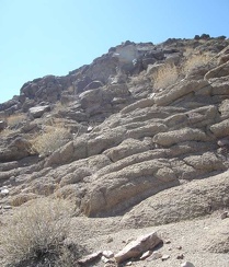 These hills seem to have more rock than soil
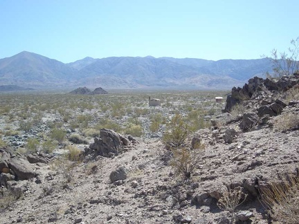 Looking back toward the outhouse from the rocky hill
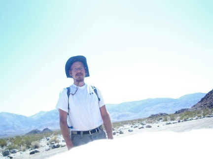 Back in the parking lot and ready to leave Salt Creek Hills
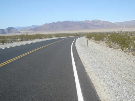 Back on Highway 127, the road begins its crossing of the valley near Dumont Dunes
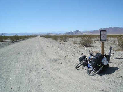 Just before crossing the valley, I stop to ponder Saratoga Springs Road
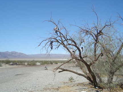 "Shoe tree" on Highway 127 across from Saratoga Springs Road
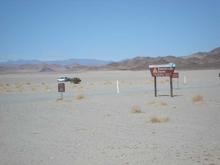 At the bottom of the valley, I pass the Dumont Dunes parking lot, which is quiet today
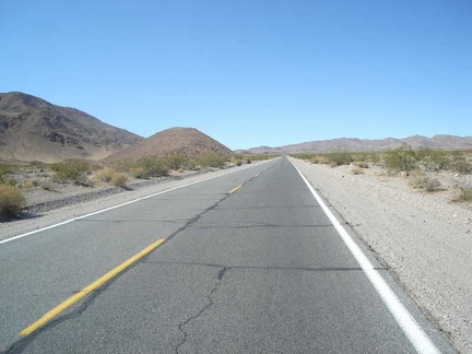 After crossing the valley, the climb up Highway 127 over Ibex Pass begins
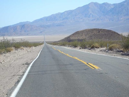 For inspiration, I look down across the valley I just crossed on the way up to Ibex Pass on Highway 127
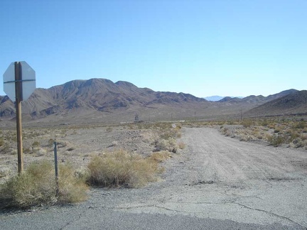 On the way up the hill is the dirt road to the old Ibex Springs mining area
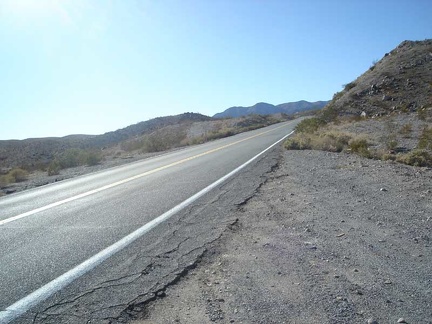 Getting close to the summit at Ibex Pass. Where is it?!?!
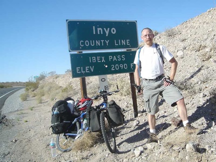 Ah, finally at Ibex Pass!
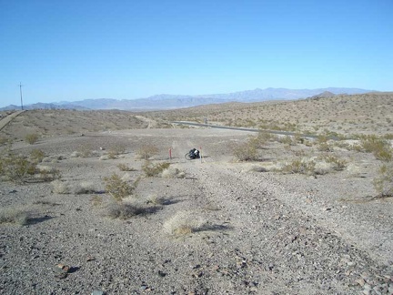 A quick break at the Saddle Peak Hills Wilderness area adjacent to Ibex Pass
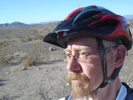 The nice scenery induces a pensive moment
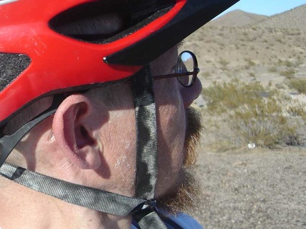 Salt excretions on my skin too, not just on my helmet straps!
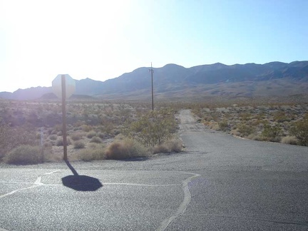 The road to Giant Mine, in the Ibex Hills Wilderness area, off Hwy 127 on the descent into the Tecopa Basin
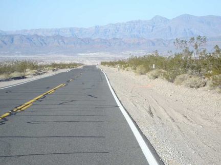 Highway 127 gets ready to drop down into the Tecopa Basin from the Ibex Pass summit
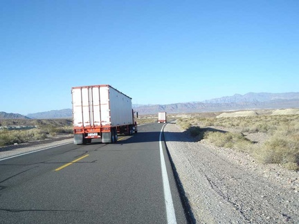 A couple of big rigs pass me as we all descend Highway 127 into the Tecopa Basin together
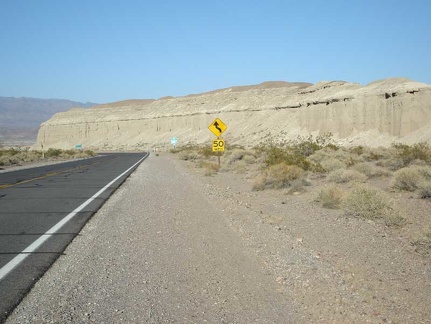 The enjoyable descent into Tecopa Basin on Highway 127 comes to an end
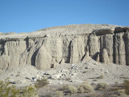 Close-up of erosion along Highway 127 near Old Spanish Trail Highway
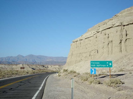 Tecopa Hot Springs just a few miles away!
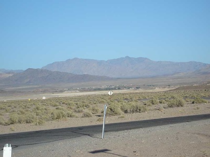 Tecopa off in the distance
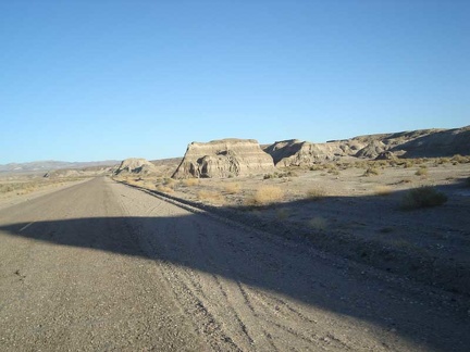 Eroded formations along Old Spanish Trail Highway
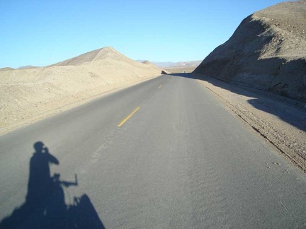 Old Spanish Trail Highway cuts through the earth
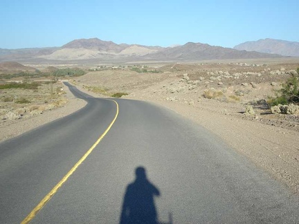 We pass through the village of Tecopa before heading on to Tecopa Hot Springs
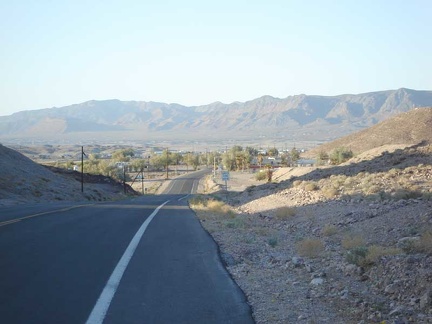 Entering Tecopa Hot Springs after riding over the hill from Tecopa
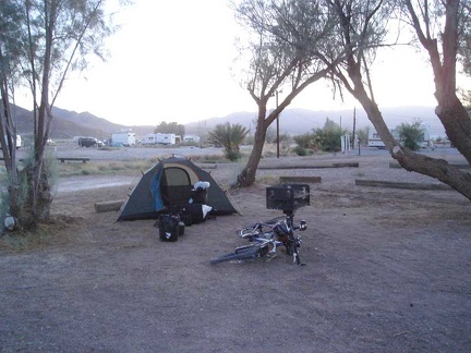 I'm checked in and my tent is set up at Tecopa Hot Springs Campground
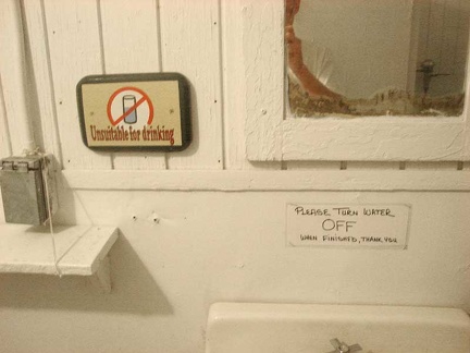 A gentle reminder not to drink the water at Tecopa Hot Springs campground
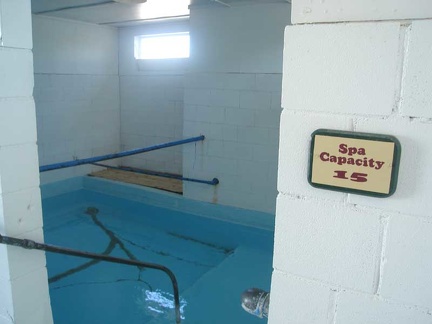 Outside the men's "cool pool" at Tecopa Hot Springs campground
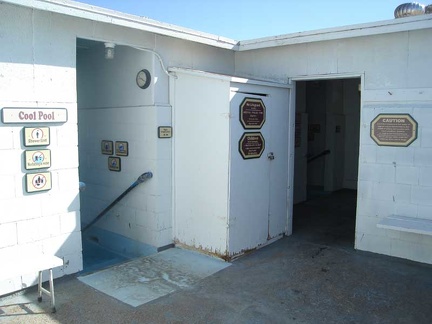 Inside the men's "cool pool" at Tecopa Hot Springs campground
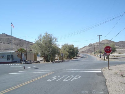 The stop sign in Tecopa Hot Springs village, looking back toward Baker
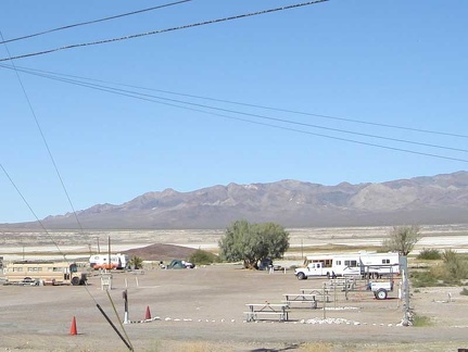 Tecopa Hot Springs campground is not very busy right now
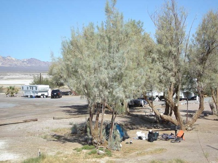 Shade in the desert
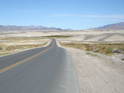 Leaving Tecopa Hot Springs toward Death Valley
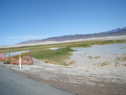 There's still some water in this end of Grimshaw Dry Lake
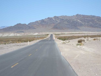 Just past Grimshaw Dry Lake, Tecopa Hot Springs Road heads straight toward the mountains
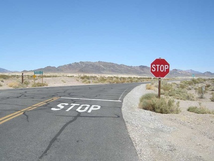 The end of Tecopa Hot Springs Road at Highway 127
 I pass Furnace Creek Wash Road, which would be a shortcut to where I'm going today, except...
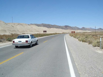 A car passes me as I head up Highway 127
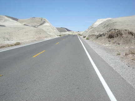 I enjoy passing through the badlands between Tecopa Hot Springs and Shoshone
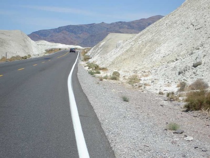 More of the badlands between Tecopa Hot Springs and Shoshone
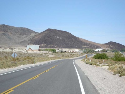 The badlands let up as Highway 127 enters the village of Shoshone with its restaurant, post office and general store
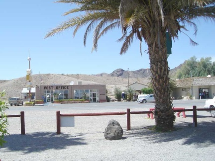 The Shoshone post office and the village's market
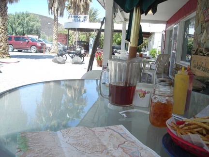 Lunch at the Crowbar Café in Shoshone
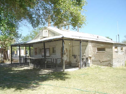 Former ranger station next door to the Crowbar Café in Shoshone
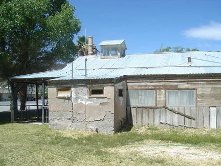 The old Shoshone ranger station is built partially out of mud bricks
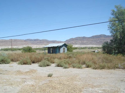 Behind the old Shoshone ranger station
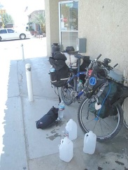 I visit the general store in Shoshone across the road from the Crowbar Café
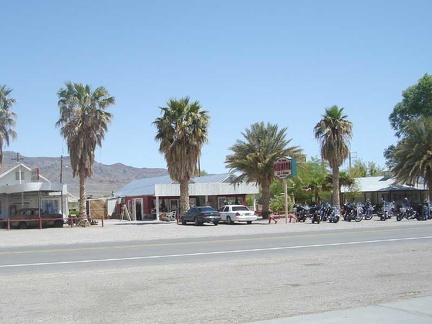 While filling my bottles, I glance across the road at the Crowbar Café