Home 7119

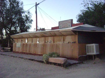 The sun is going down and it's time for another juicy hamburger at the Nipton café
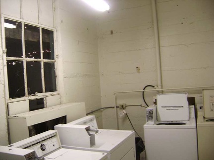 Tonight is laundry night, since I didn't get to it last night because of the festivities
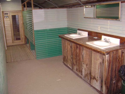 Inside the Nipton bathrooms: I end up not soaking in the outdoor hot tub after all, but I do take a shower in the quonset hut
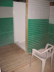 One of the shower stalls at Nipton
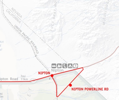 Day 9: Mojave National Preserve map: Day ride from Nipton to Nevada State line and power-line road
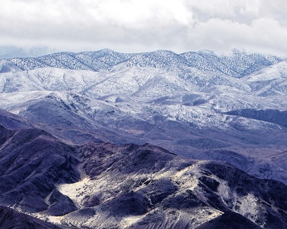 Snowfall on the Saline Range
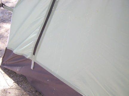 Before packing up, I inspect some crusty splatters on the back of my tent that I forgot about
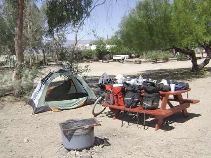 OK, everything out of the tent, time to pack up and leave Nipton!
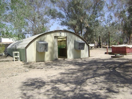 A semi-final visit to the Nipton quonset-hut shower building before heading out
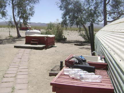 One of the final things to do before leaving Nipton is to replenish my water supply to full capacity at the outdoor sink
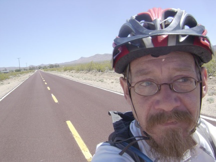 Away again I go on the open road, leaving Nipton behind me
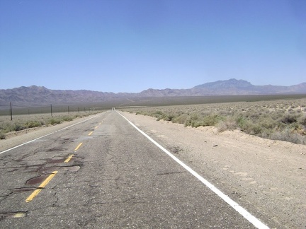 I head west across the Ivanpah Valley on Nipton Road
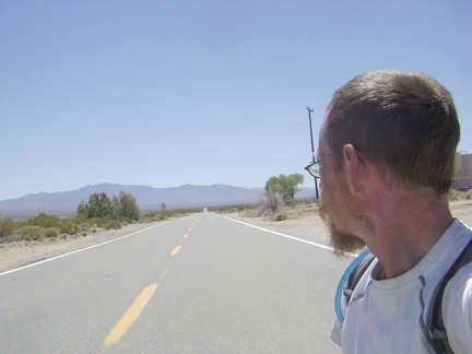 I've made my left turn on Ivanpah Road, which heads south for three miles
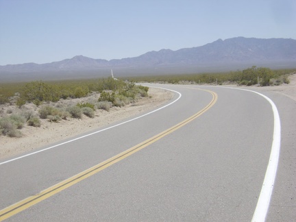 Three miles down Ivanpah Road, I reach "the big curve"
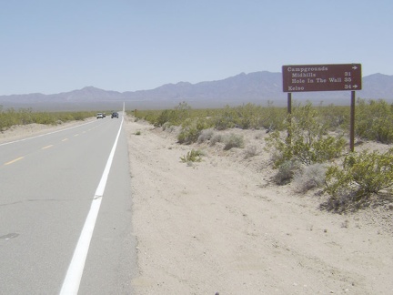 I'll continue straight past the junction here of Morning Star Mine Road
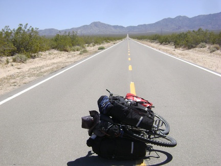 Heading across the valley on Ivanpah Road, the road is big, empty and quiet
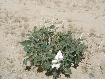 A number of datura plants grow on the shoulder of Ivanpah Road
 I stop near the top of the Ivanpah Road hill just before the train tracks to enjoy the views behind me
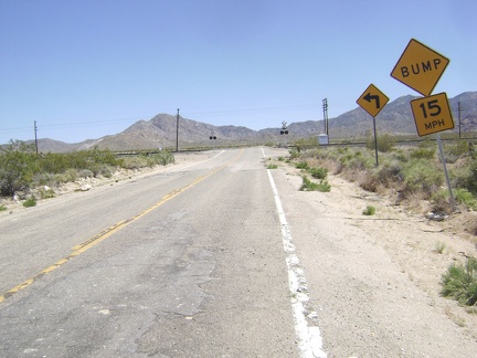 I approach the train tracks that cross Ivanpah Road
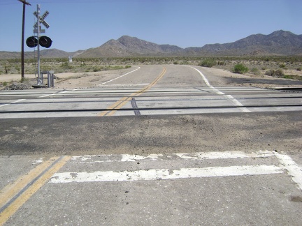 The signs behind me warned that the road would turn sharply to the left after crossing the tracks
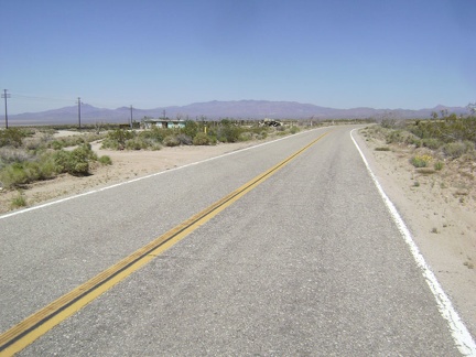 A single abandoned house is all that remains here at the former settlement of Ivanpah
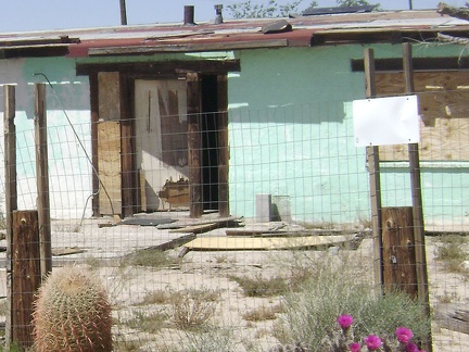 A closer look reveals that the front door has been pried open
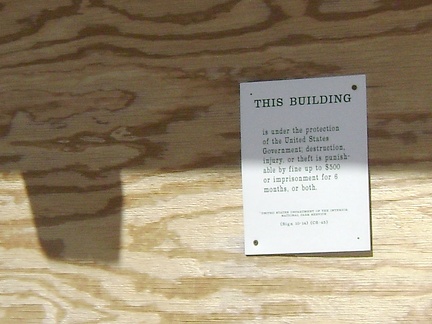 This building...
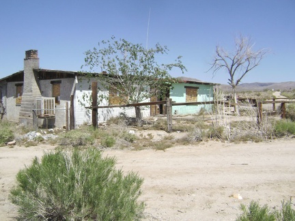 I've read that this house was once used as a general store and is now owned by the National Parks Service
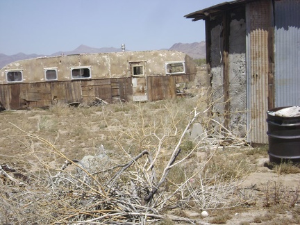 Other outbuildings, such as this antique trailer, are to be found on the property
 I ride another 2.5 miles up Ivanpah Road, climbing 400 feet in the process, and then the pavement ends
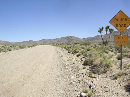 Warning to me: "Rough Road Next 23 Miles"
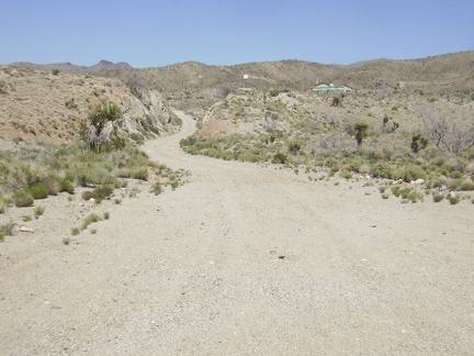 I stop to look at a road that leads into the former Vanderbilt Mines area
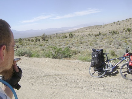 A little further, I pull over to eat a Clif bar and enjoy the views; something on my bike has started to rub loudly
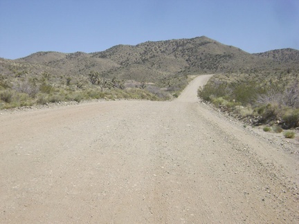 Once I adjust whatever it is on the bike that needs adjustment, I'll ride up this gentle roller into the New York Mountains
 Ugh: my rear rack has broken, just above the bolt that attaches it to the bike frame
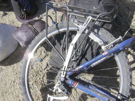 I impress myself and cobble a vertical brace for the rack from two spare support bars that I've been carrying around for ages
 Well, after my one-hour delay, I've remounted my saddlebags and have decided to continue on 7 miles more to Keystone Canyon
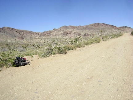 As I pedal my way gently up Ivanpah Road on the compromised 10-ton bike, I stop briefly at the little road to Bathtub Spring
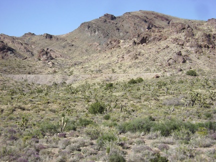 Another point of interest to my left on this stretch of Ivanpah Road is an old railway grade, abandoned long ago
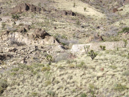 Some of the old railway grade near Ivanpah Road has been washed out
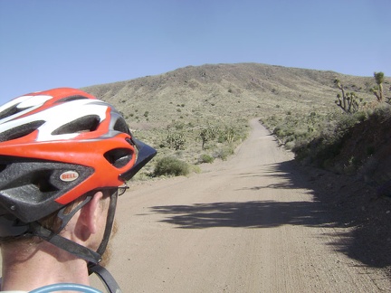 I continue rising slowly up Ivanpah Road into the New York Mountains
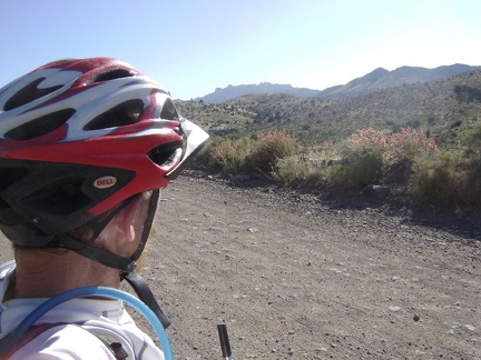 I'm almost at the summit of Ivanpah Road now as I enter a low pass in the mountains
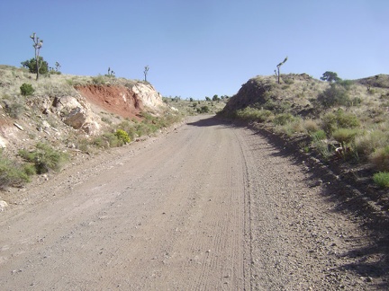 Ivanpah Road passes through a slot in the earth near the summit
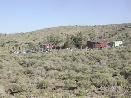 It's hard to tell from a distance if this property at Barnwell is still inhabited
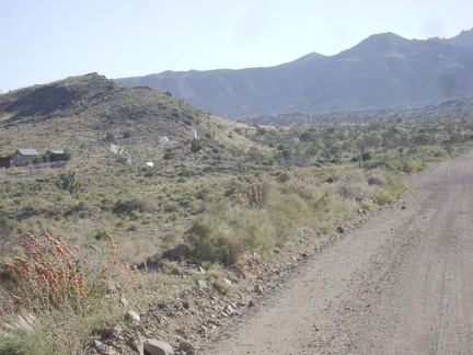 To my left is the settlement of Barnwell, once named Manvel
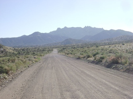 Once over "the summit," Ivanpah Road heads straight toward the New York Mountains
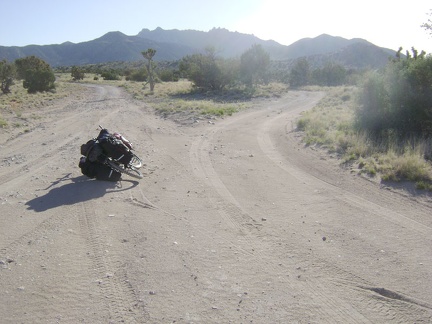 A mile after Barnwell, I turn right on the little road to Keystone Canyon, which immediately splits
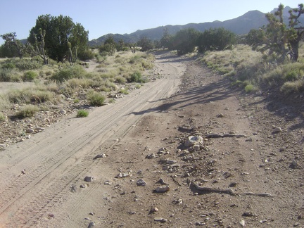 As a bicyclist, I can choose to ride on either side of the road to Keystone Canyon: do I choose sand or rocks?
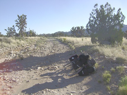 The sand that I liked for a moment on the road to Keystone Canyon disappears and the road is just rough now
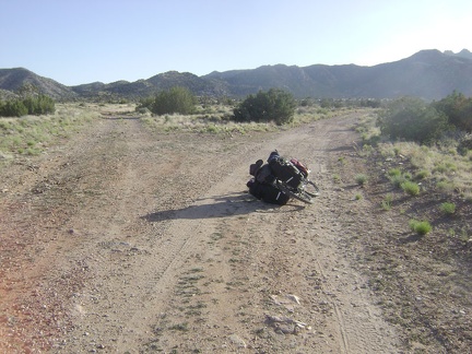 The road forks again after 2/3 mile and I stay on the right fork toward Keystone Canyon
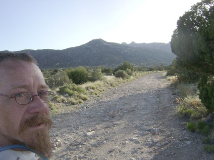 Some of the bumpy road is ridable, but I walk the bike because something is rubbing again in the area of the rear rack
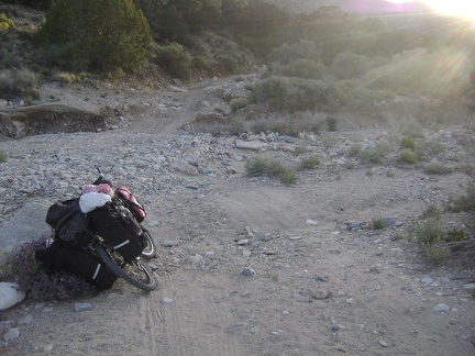 After about two miles on the deteriorating road up Keystone Canyon, I reach a wash-out
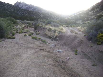 The old road isn't getting any better as it makes its way up Keystone Canyon!
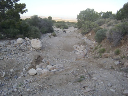 I don't spot another campsite nearby, so I return to the 10-ton bike back at the wash out
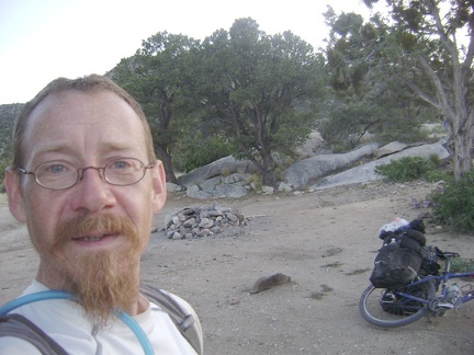 I drag the bike over to the nearby campsite and this happy camper calls it a day
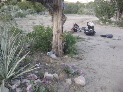 Time to unpack and set up camp in this high-desert area whose landscape I like so much
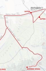 Mojave National Preserve map: day 10: Nipton to Keystone Canyon via Ivanpah Road
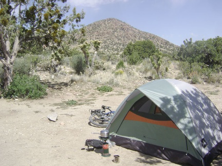 Making morning coffee at Keystone Canyon
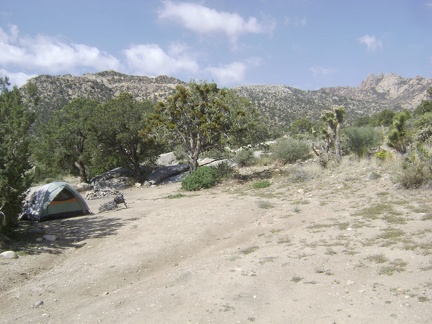 Today's day hike will take me to an old mine site not far away, below the crags of New York Mountain in the distance at right
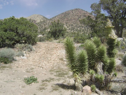 First, I go for a short walk around my Keystone Canyon campsite
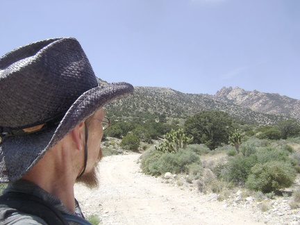 I prepare my supplies for the day and begin the hike up Keystone Canyon
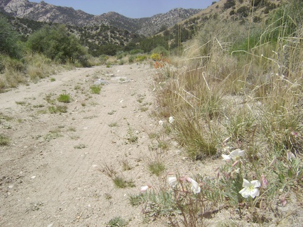 White primroses and orange desert-mallow flowers along Keystone Canyon Road
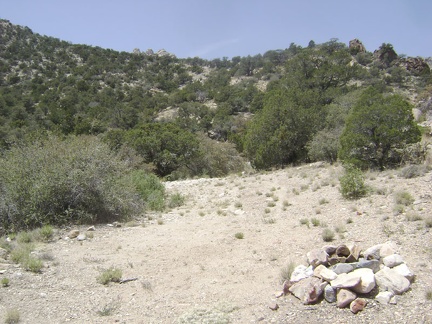 I come across another campsite with a fire ring near the road
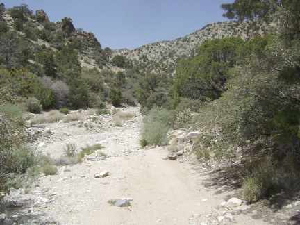 The road shares Keystone Canyon with a wash and crosses it several times
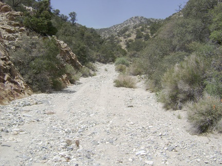 Along this stretch, the road is actually in the wash
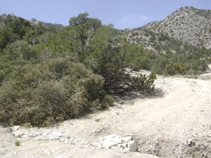 Road users have placed rocks in this gully to facilitate passage over it
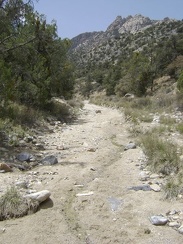 I'm delighted to discover the moist remnants of a recent trickle of water in the middle of the road
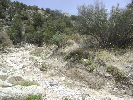 The road is almost non-existent in this part of Keystone Canyon
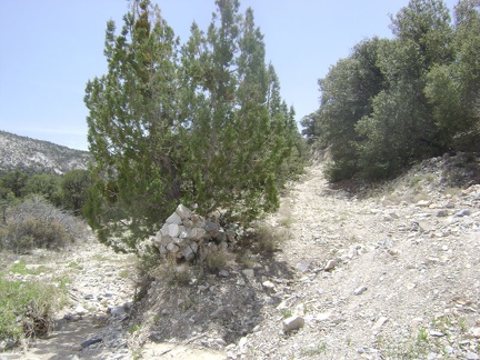 A fork in the road!
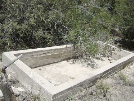 I spot an old cistern along the road
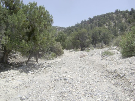 Another fork in the barely discernable road
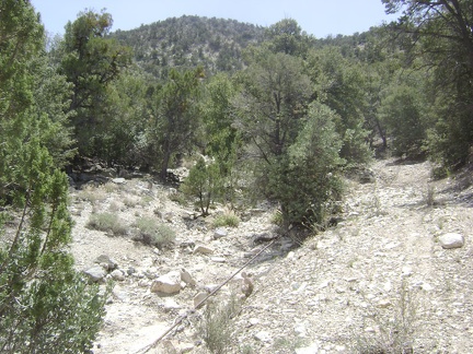 Ah, there's the pipe that presumably leads up to Keystone Spring
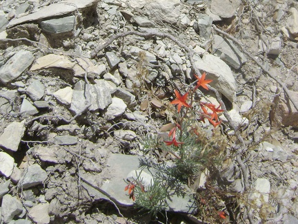 I stumble across these little red flowers that I'm not familiar with
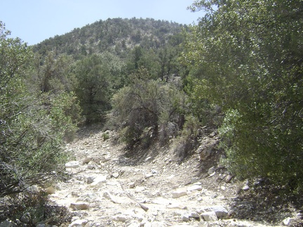 The old pipe continues along the ground along the old road to Keystone Spring
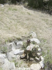 Keystone Spring?
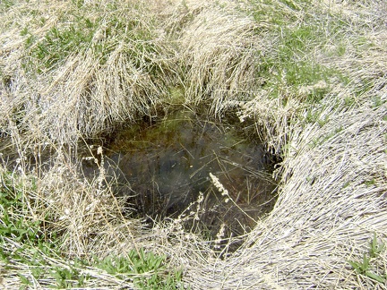 The water here at Keystone Spring doesn't look good, but..
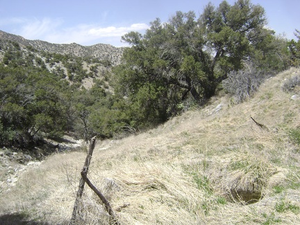 Further up the meadow, I reach a hole filled with water
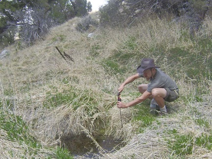 I cautiously approach the spring to test the yellow jackets, and then pump water to fill my Camelbak and water bottles
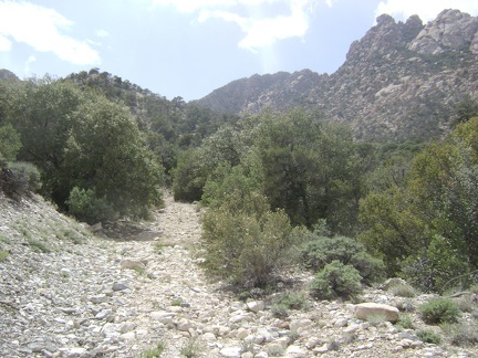 My water supply refilled, I walk back down the hill from Keystone Spring and hike up the road toward New York Mountain
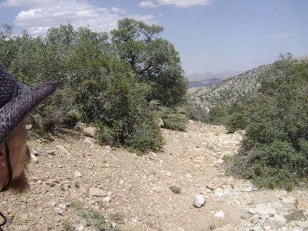 After a bit more climbing, I turn around to see that I've risen quite a bit during the last half mile
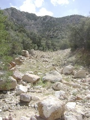 I continue hiking up what's left of the old road up Keystone Canyon
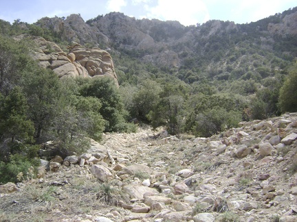 A little higher, I approach a face-like rock formation in the foreground at my left
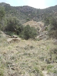 I get my first view of the old mine site at the bottom of New York Mountain
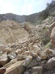 It appears that rock, silt and wood debris tumbles continually down into Keystone Canyon from the old mine site
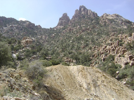 The eroding old mine site at the top of Keystone Canyon sits just a few hundred feet below the peak of New York Mountain
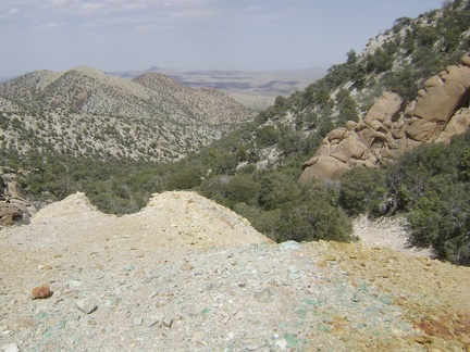 Teal-blue rocks are scattered around the mine site while "Sleeping-head Rock" keeps watch from the right side
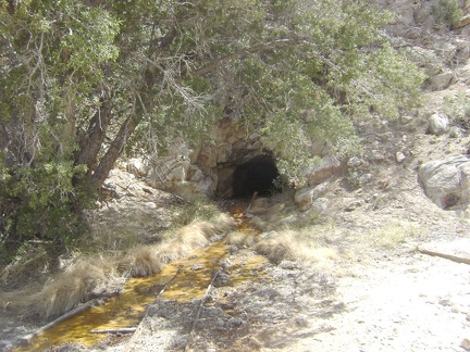 A trickle of rusty, contaminated water exudes from a tunnel in the hillside above the mine tailings
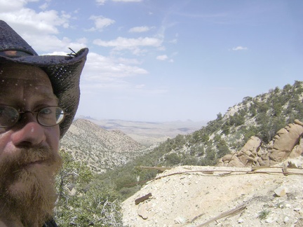 The old rails from the mine tunnel end at the edge of the tailings pile
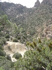 I climb a bit up the slope around the mine up and consider going all the way up to the New York Mountain ridge
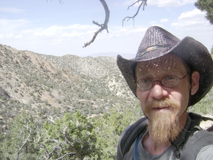 The views from up here are great, and I hate to turn back, but I'm turning back anyway
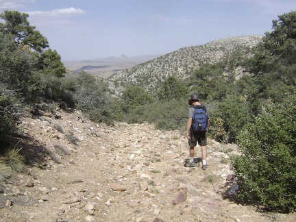 I start the walk back down the old road to my campsite at the bottom of Keystone Canyon
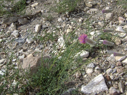 Here's a plant that I've never seen before
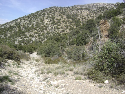 I'm down at the bottom of the big hill and in the main part of Keystone Canyon now
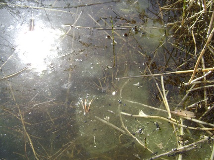 Looking closer, Keystone Spring seems to be semi-stagnant
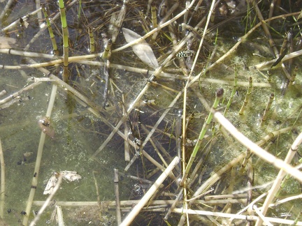 Bugs abound at Keystone Spring, as happy to have water as I am
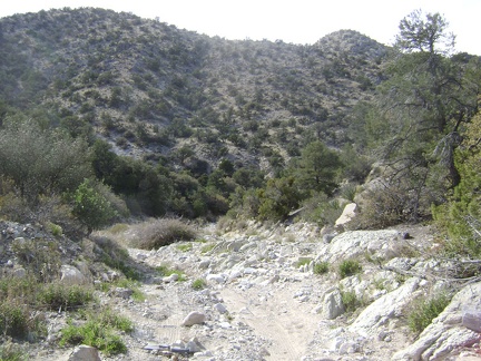 After refilling water at Keystone Spring again, I still have a bit more downhill on the old Keystone Canyon Road
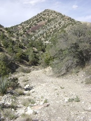 The road in Keystone Canyon descends a little more
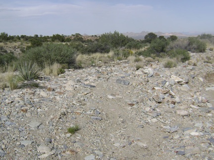 I'm down at the bottom of Keystone Canyon now and almost back home for the day
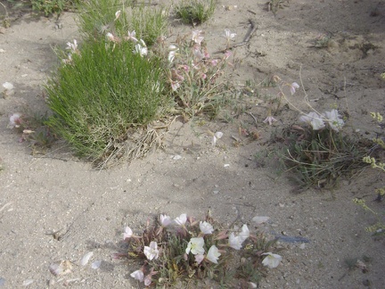 A few primroses bloom along Keystone Canyon Road a bit west of my campsite
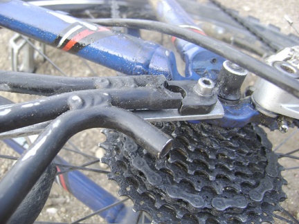 I re-repair the broken bike rack by reinstalling my improvised brace under the rack, rather than on top of it
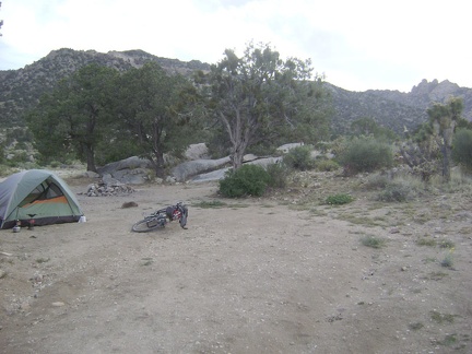 Back at the tent, the job that awaits me is re-repairing my broken bike rack
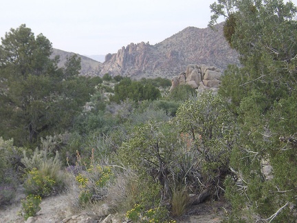 I take in the views of the surrounding hills while the sun goes down and I ponder my situation and exit strategy
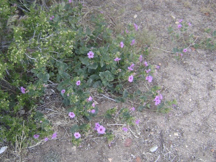 Quite a few desert four o'clocks are blooming around my Keystone Canyon campsite
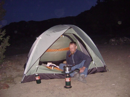 The last supper at Keystone Canyon
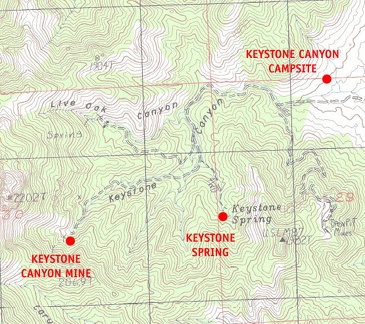 Mojave National Preserve map: Day 11, day hike to Keystone Spring and Keystone Canyon mine
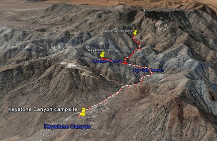 Keystone Canyon hike as viewed in Google Earth
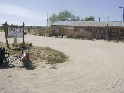 After a couple of miles, I pass the Cima Store at 4200 feet, and it's actually open this time, at this late hour!
 I walk my bike down the mostly-bumpy two miles of Keystone Canyon Road
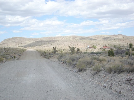 Well, I've been riding Ivanpah Road for a mile now and am passing the settlement of Barnwell again; so far, so good!
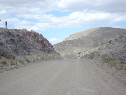 Ivanpah Road rises over the pass and begins its slow descent down into the valley
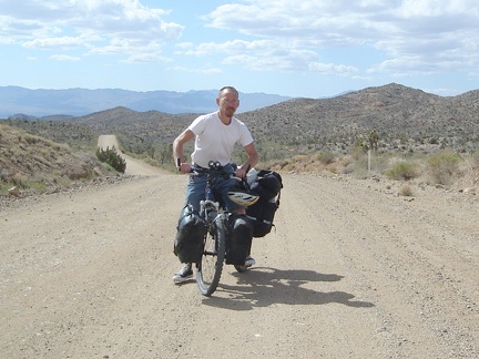 I really like this area of Ivanpah Road where my bike broke down a couple of days ago
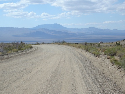 As Ivanpah Road comes out of the hills, views into the valley open up
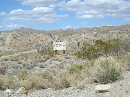 I pass the worn sign to the old Goldome mine
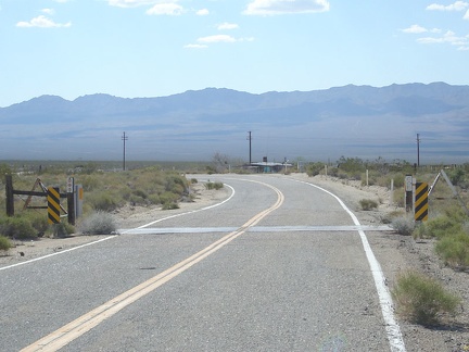 With relief, I'm back on the paved part of Ivanpah Road now and I'm letting the bike gain speed as I ride down the smooth hill
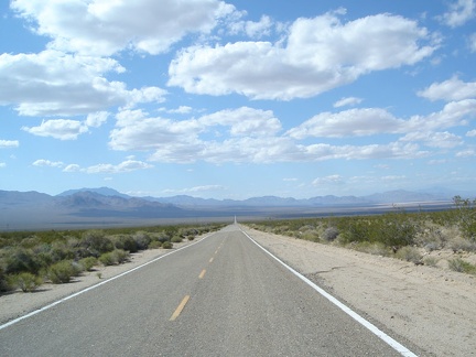 The final slow descent to the bottom of Ivanpah Valley passes beautifully
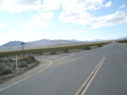 Good things do come to an end, and I reach the bottom of Ivanpah Valley and the beginning of Morning Star Mine Road
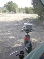 I get up a bit earlier than usual this morning in preparation for the potentially unpredictable day
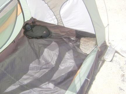 The last items to be removed from the tent are a big rock and my water bag
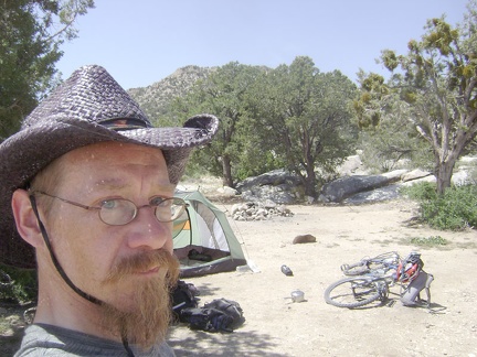 After a relaxing start to the morning, I empty the tent and begin packing up
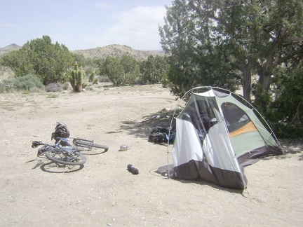 Last night's strong wind continues this morning and tries to push the tent around while I get ready to dismantle it
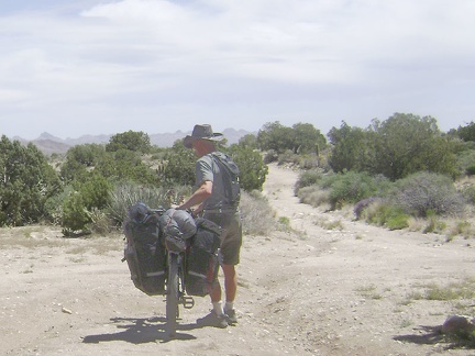 All packed up, I begin walking the bike down Keystone Canyon; my tripod blows over and my camera lands face-first and dies
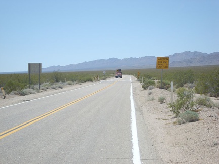 I have about 10 miles of uphill ahead of me on Morning Star Mine Road
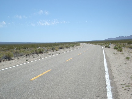 Morning Star Mine Road keeps climbing slowly up the fan
 I stop a few miles up Morning Star Mine Road and look back to see how far I've risen
 I take a break on the way up endless Morning Star Mine Road (at the old corral) and see a bicycle speed down the road
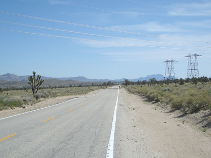 I'm glad to finally be on the top of Morning Star Mine Road, but the headwind pushing me back is even more ferocious up here!
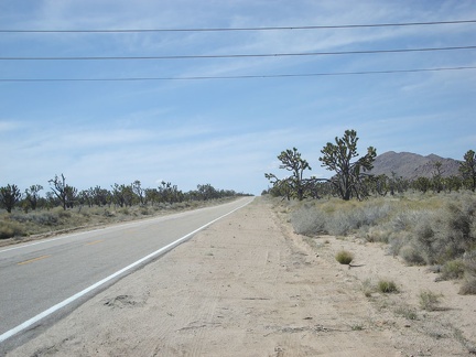 The six-mile crawl up Cima Road rises another 800 feet up to 5000 feet elevation and is quite pleasant with very little traffic
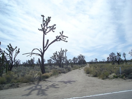 On the way up Cima Road, I pass the little dirt road that leads over to Cut Spring
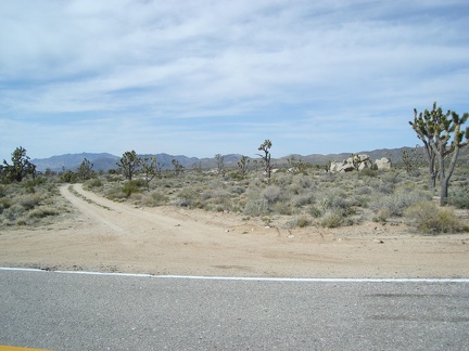 After six more uphill miles, I reach the little plateau at the top of Cima Road and turn down the dirt road to the campsites
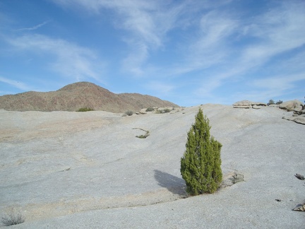 There's a lot of rock in this area, and this juniper tree growing in a crack between rocks is striking
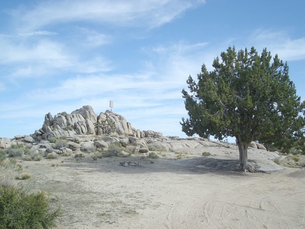 The first campsite has this beautiful tree for shade, but is too close to the paved road for my taste
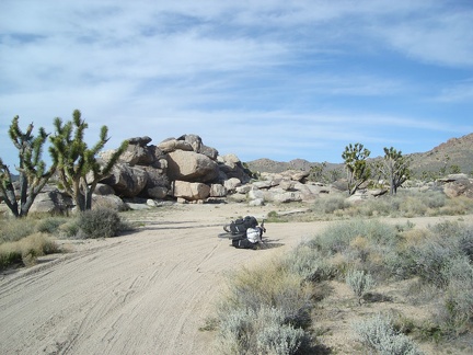 A half-mile down the dirt road, I select a campsite to left of the big rock pile here
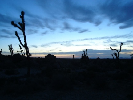 Sunset in the Cima Dome area is always beautiful, and tonight is no exception
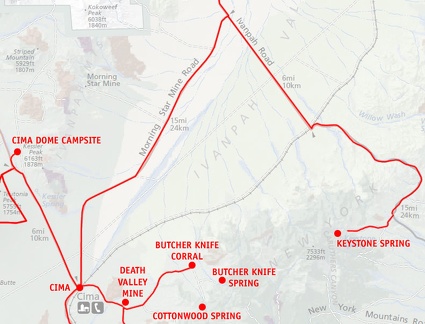 Mojave National Preserve map: Day 12: Keystone Canyon to Cima Dome via Ivanpah Road and Morning Star Mine Road
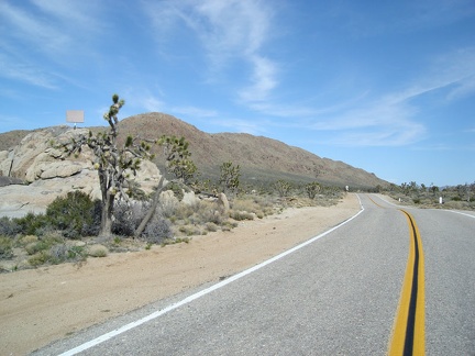 I walk across Cima Road with images of the loop hike around Cima Dome still fresh in my mind
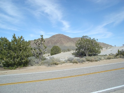 The dirt road ends and I walk across Cima Road to reach the Teutonia Peak Trail, looking back to Kessler Peak
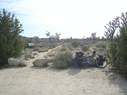 The two-mile trail to Teutonia Peak is one of just two official, maintained trails in the expansive Mojave National Preserve
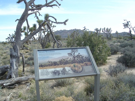 Interpretive panel ("Desert Woodland") at the start of the Teutonia Peak Trail
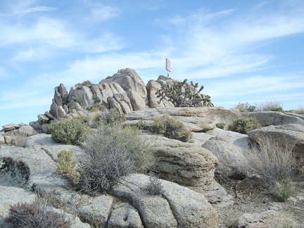 Just before reaching Cima Road, I pass a point of interest: the "covered cross"
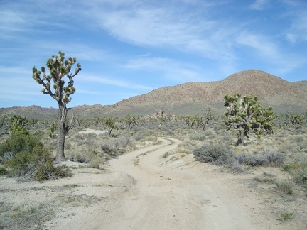 I walk the last 1/2 mile down the dirt road to my Cima Dome campsite for one last night in Mojave National Preserve
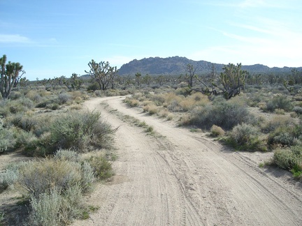 The road curves and aims toward Teutonia Peak as it heads back to the paved Cima Road
 After a lazy morning, I start hiking the half mile up the dirt road that leads from my campsite to Cima Road
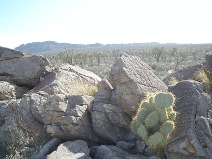 View of Teutonia Peak from the area of my campsite near Sunrise Rock
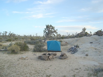 I have the whole day to spend up here on Cima Dome, so I'll do a hike up to Teutonia Peak and beyond
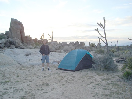 It's so windy up here on Cima Dome this morning that it takes quite a while to boil water for coffee
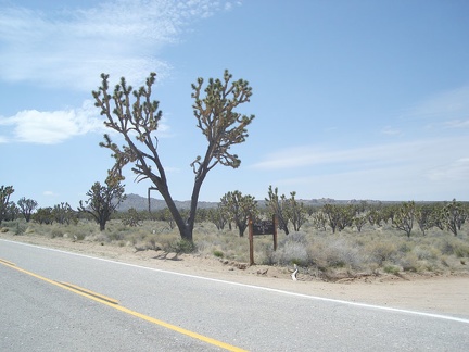 View of Teutonia Peak from the Valley View Ranch area
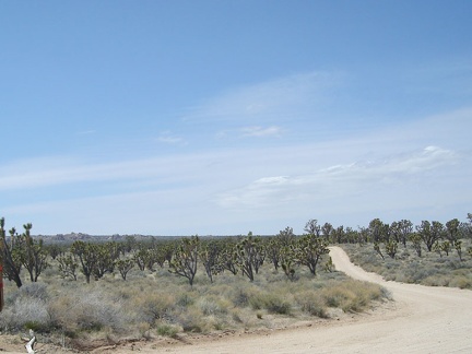 The 3-mile hike up the dead-end road to Deer Spring climbs slowly, then I hike over the summit of Cima Dome through joshua trees
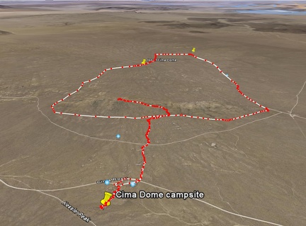 Cima Dome / Teutonia Peak hike route as viewed in Google Earth
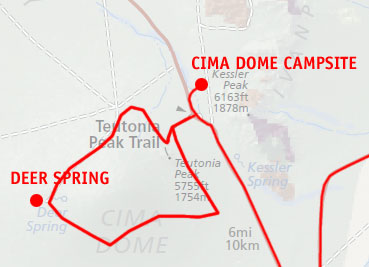 Mojave National Preserve map: Day 13: Cima Dome day hike including Teutonia Peak and Deer Spring
 About 1.5 miles before reaching the Cima Store, I pass that power-line road again that crosses Mojave National Preserve
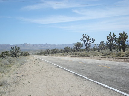 The six-mile ride down the Cima Road hill to the Cima Store, 800 feet below, is a blast
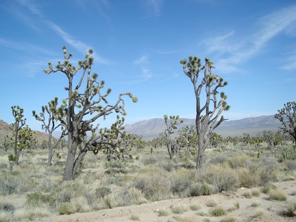 To my left while descending Cima Road are views across the valley to the Butcher Knife Canyon area of the New York Mountains
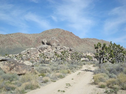 With a bit of sadness, I pack up and leave my Cima Dome campsite to mark the last day of this Mojave National Preserve trip
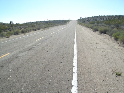 Here it is: the final little hill at the top of which is the summit of Kelbaker Road between Kelso Depot and Baker
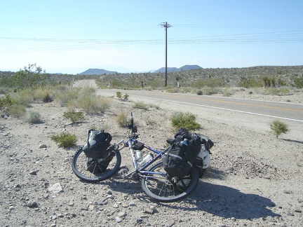 I arrive at the Kelbaker Road summit at 16h15 and feel a bit pooped
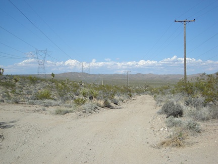 While at the Kelbaker Road summit, I take a look at the power-line road which I could have taken to get here from Cima Road
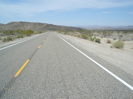 I depart the Kelbaker Road summit at 16h30 and the final 22 miles down to Baker is as enjoyable as ever
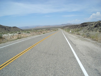 I'm so zoned-out on endorphins that I didn't even notice the junction of Aiken Mine Road that I zoomed by a few minutes ago
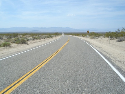 After coming around the last big curve on Kelbaker Road, I have a final 10 miles (dropping 1000 feet) to ride across the valley
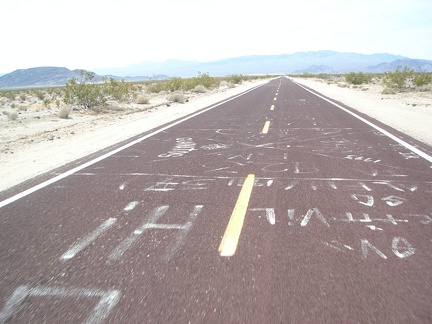 Artless graffiti on the red pavement of Kelbaker Road approaching Baker
 Almost there...
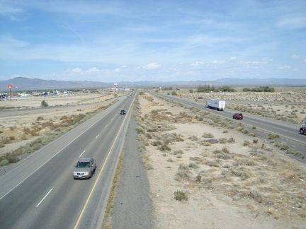 Just before arriving at Baker, California, Kelbaker Road crosses the I-15 freeway
 Baker, California has a sort of skyline with its "tallest thermometer in the world" and its motel and fast-food signs
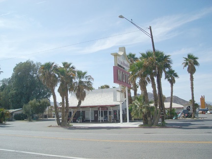 I check in at the Royal Hawaiian Motel for the night, which is an interesting example of kitsch from the 60s or 70s
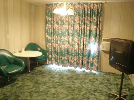 Retro 70s furniture in my room at the Royal Hawaiian Motel at Baker, California
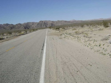 Back on the road at 14h30 to start the climb up to the summit of Kelbaker Road
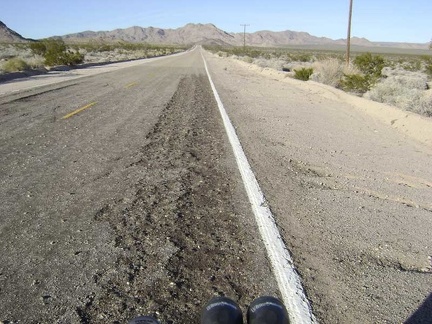 The climb is going really well, probably because it's the end of the trip and I'm stronger now after two weeks of this
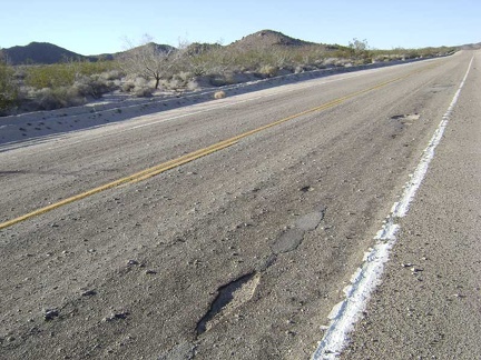 The pavement is wearing out on parts of Kelbaker Road, but that adds to the character of the area (we don't need a freeway here)
 I'm up out of Kelso Valley now
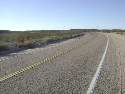 The Kelbaker Road summit lies just ahead where the power lines cross the road at the left
 I stop in at Kelso Depot to buy a souvenir t-shirt and donate my half-full propane bottle to someone who can use it
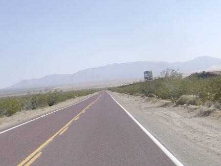 Just a few miles to go before reaching Kelso Depot...
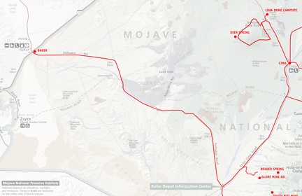 Mojave National Preserve map: Day 14: Cima Dome to Baker, California via Kelso Depot
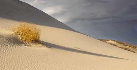 Shadow and stripe
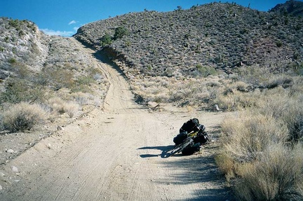 Well, well, there turns out to be a series of big rollers here on the way down. I've just come down the first.
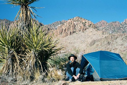 Enjoying the morning outside my tent at Providence Mountains State Recreation Area
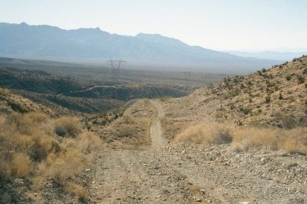 Some of these rollers are steep drop-offs that are too slippery and steep for me to ride down or up
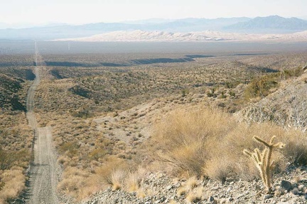 Finally, I've come out of the mountains enough to see the entire Powerline Road and Kelso Dunes ahead of me
 The little six-site campground at Providence Mountains State Recreation Area
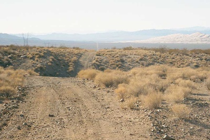 Another steep dip in the Powerline Road
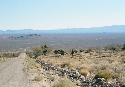 After breaking camp, I leave the Providence Mountains campground and coast down the hill to the desert floor on Essex Road
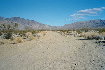 Finally, I reach the end (for me) of the Powerline Road where it crosses Kelbaker Road and I get back on pavement. I look back
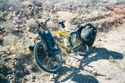 About 3 miles down the hill from the Providence Mountains campground, I hear a big "clunk" and feel something dragging
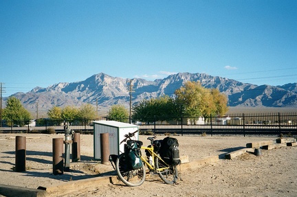 The Providence Mountains behind me, I stop at the abandoned Kelso Depot after a fast 8-mile downhill on paved Kelbaker Road
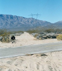 At the bottom of the hill, at about 3000 feet, I leave the pavement of Essex Road
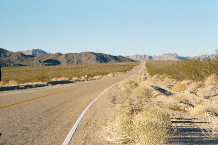 I take on the 12-mile climb up Kelbaker Road rising away from Kelso Depot
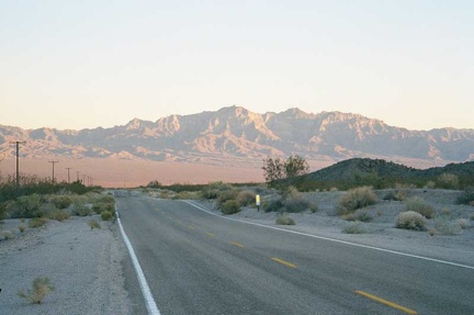 A beautiful sunset illuminates the Providence Mountains behind me as I climb Kelbaker Road out of Kelso Valley toward Baker
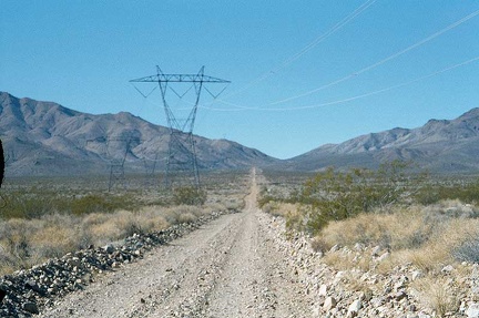 The gravelly road toward Foshay Pass rises slowly
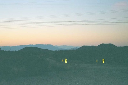 At the top of Kelbaker Road at 3800 feet, the last 20 miles into Baker at 925 feet will be a gentle downhill (in the dark)
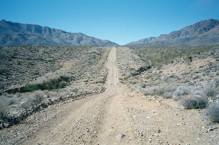 Along the way to Foshay Pass, there are a few steep sections, but the grade is mostly moderate
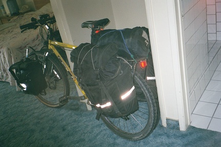 Back in Baker, California, I rent a room at the Bun Boy Motel, waiting for tomorrow's Greyhound bus back to San José
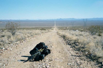 A bit higher up the road to Foshay Pass, I turn around to take in the view behind me
 Before leaving the Bun Boy for my Greyhound bus, I take a final photo out my patio door across I-15 to Mojave National Preserve
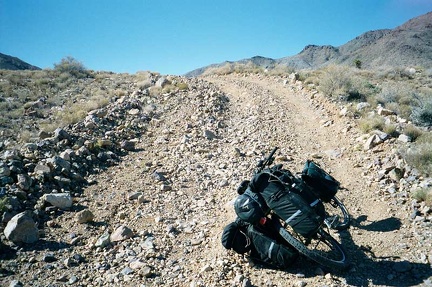 This short, rocky hill on the road to Foshay Pass requires that I drag the bike up the hill little by little
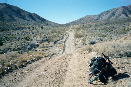 Entering Foshay Pass now, the actual summit is still a little further ahead
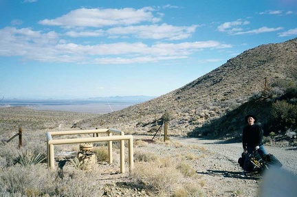 At the Foshay Pass summit in the Providence Mountains, looking back (east) at the desert behind me where I started my climb
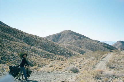 Still at the Foshay Pass summit, the road ahead passes alongside a few ridgetops before it descends to the other side
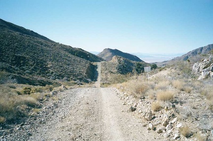 Hmmm.. As the Powerline Road begins to "descend," it looks like I will first have another little uphill
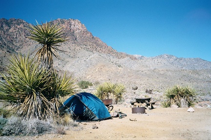 Late morning at my campsite at Providence Mountains State Recreation Area
 Excellent views eastward from the ledge on which the campground sits
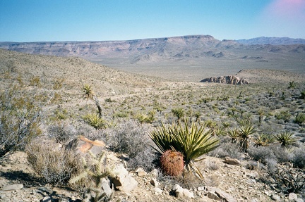 Northeast from Providence Mountains Campground, one gets a view of Wild Horse Mesa
 After taking the tour of the Mitchell Caverns, I go for a walk up the hill behind the Park office
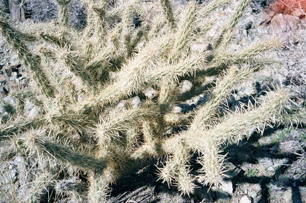 Cholla cactus
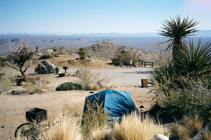 I've bought another box of fire wood from the Park office to have a campfire tonight