Home 7119

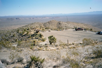 A view of the Mitchell Caverns campground from a bit higher up shows how it's little more than a small, scenic parking lot
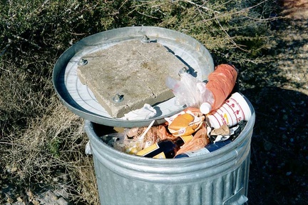 Concrete attached to the inside of a garbage can lid at the campground
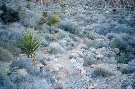 I go for another short walk on one of the trails at Mitchell Caverns
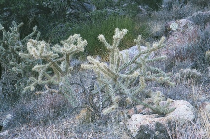 More cholla cactus
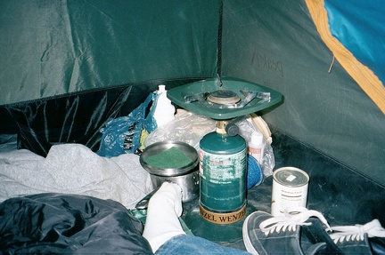 The wind is picking up and I think it's going to be another noisy night in the tent with the tent walls flapping hard
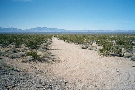 After the 10-mile ride on Route 66 from Goffs to Fenner, I take note of a dirt road leading to the Providence Mountains
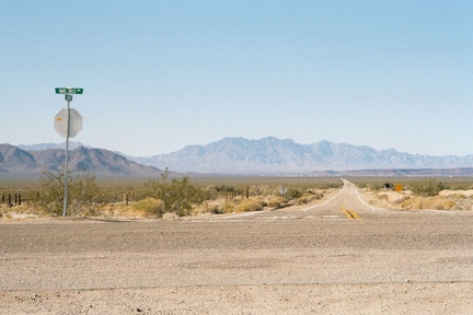 I'm back at Essex, California again, after riding 16.5 miles down historic Route 66 from Goffs, California
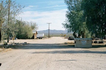 Looking southeast from the Essex post office, down Sunflower Springs Road, a dirt road that rises up over the mountains
 Crossing over I-40 again on the Essex Road bridge
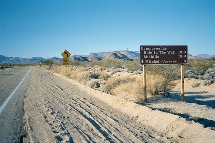 Back at the junction of Essex Road and Black Canyon Road, I ride straight through toward Mitchell Caverns
 The final five-mile stretch of Essex Road to Mitchell Caverns (Providence Mountains State Recreation Area)
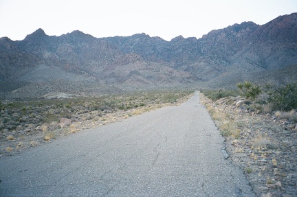 The last mile or two before Providence Mountains State Recreation Area gets steeper
 Essex Road has been rather desolate so far, so it's amusing to ride over the tube of civilization that is Interstate 40
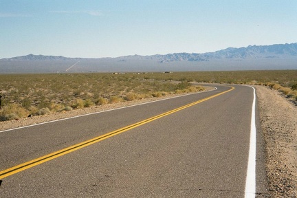 On Essex Road, it's 6.3 miles past Interstate 40 to the nearly dead town of Essex, California at the base of the distant hills
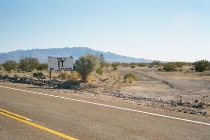 Closer to Essex, I pass the "This is IT" RV park, and not much else
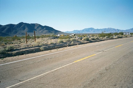 Still on Essex Road, I look back at the IT RV Park and a number of trailers or buildings which weren't apparent while riding by
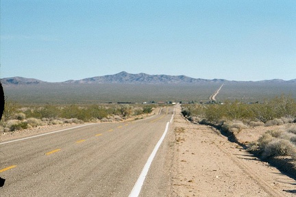 The village of Essex on historic Route 66 is that collection of buildings a mile or so ahead
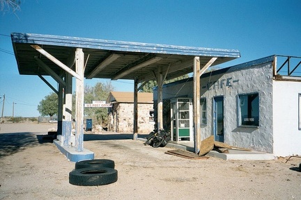 Abandoned café and gas station at Essex
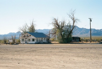 On the other side of Route 66 from the Essex post office sits this old house, which appears empty
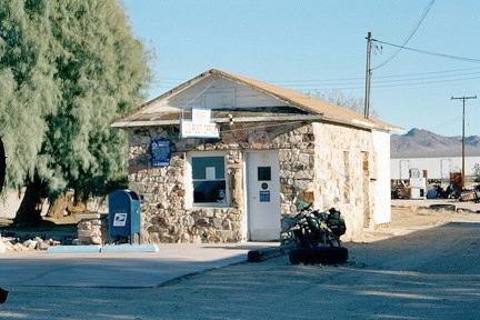 The Essex post office next to the abandoned café and gas station
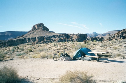 Bright sun warms up this cold November morning at Hole-in-the-Wall Campground, Mojave National Preserve
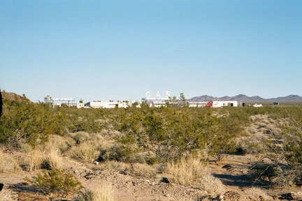 Fenner, California is mostly just this big gas station serving freeway traffic from Interstate 40
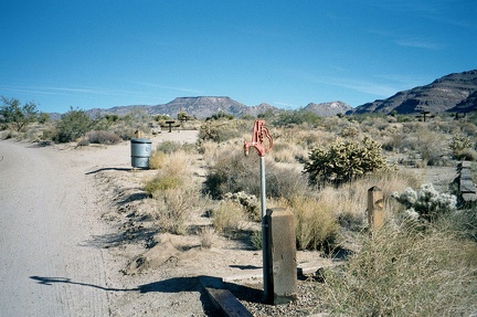 The water taps at Hole-in-the-Wall Campground are still functional this morning
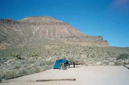 One final view of my campsite at Hole-in-the-Wall campground, Mojave National Preserve, before I pack up and leave
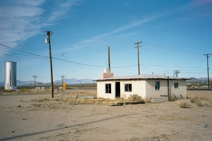 Goffs, California on old Route 66
 The 10-ton bike is all packed up and we're leaving Hole-in-the-Wall Campground, Mojave National Preserve
 From "downtown" Goffs, California, a dirt road called Mountain Springs Road runs south, connecting to Essex
 After exiting Hole-in-the-Wall Campground, I gradually descend Black Canyon Road southbound toward I-40
 The Goffs General Store has just closed for the day (I wasn't expecting it to be open anyway)
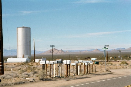 After buying water at the Fenner gas station, I ride 10 miles further up Route 66 and arrive at Goffs, California
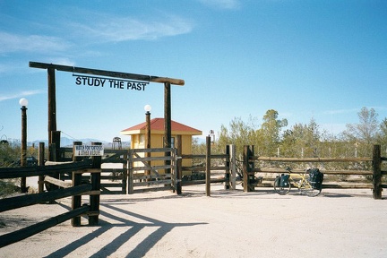 The old Goffs school house property
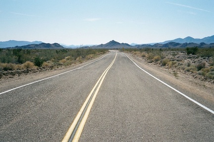 Black Canyon Road winds through the Colton Hills as it approaches Essex Road
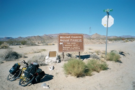 At the foot of Black Canyon Road, Essex Road is reached
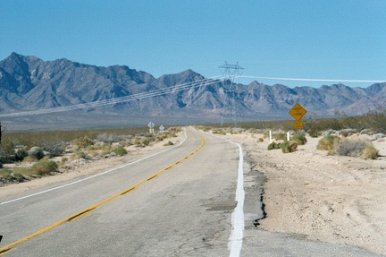 Looking northwest up Essex Road from the bottom of Black Canyon Road toward Mitchell Caverns and Providence Mountains
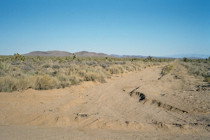 Cedar Canyon Road crosses the historic Old Mojave Road
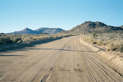 Taken east to west, Cedar Canyon Road is a slow route due to its occasional deep wash crossings, and ever-so-slight uphill
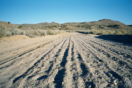 Kitty-litter sand and gravel on Cedar Canyon Road in the Watson Wash area
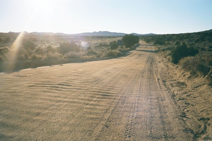 Further beyond Watson Wash, Cedar Canyon Road rides across firm ground again
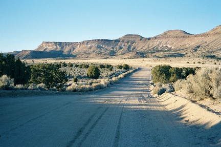 Pinto Mountain decorates the views northward from Cedar Canyon Road as I enter the Mid Hills area
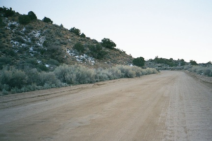 Patches of light snow survive from last night on the north side of hills facing Cedar Canyon Road in the Mid Hills
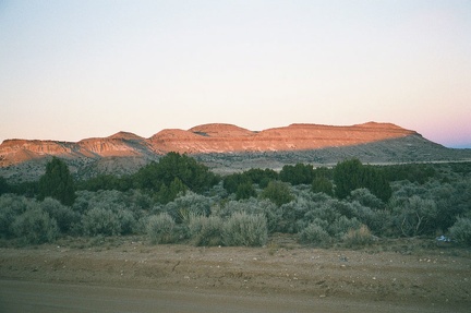 Sunset on Pinto Mountain, Mid Hills, Mojave National Preserve
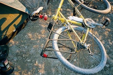 The frost is especially thick on my bicycle tires
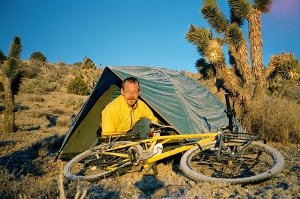 Morning frost at sunrise at Trio Mine Road near Keystone Canyon
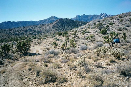 After a hot ramen breakfast and fixing my flat tire, I go for a short walk in the area of my Trio Mine Road campsite
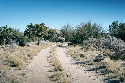 Trio Mine Road, on the way back to Ivanpah Road, 1/4 mile or so away
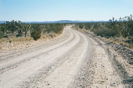 I ride down the almost imperceptible slope of Ivanpah Road toward Cedar Canyon Road
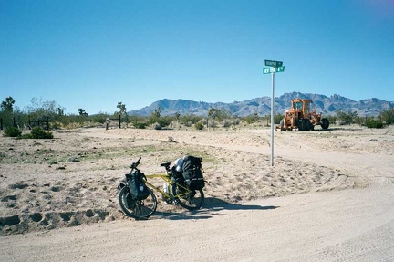 Street sign in the Mojave Desert at the junction of Ivanpah Road and New York Mountains Road
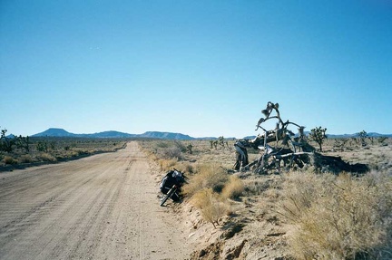 This very gnarled old tree on Cedar Canyon Road gets my attention
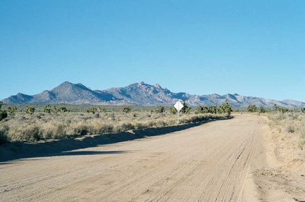 For about six miles, Cedar Canyon Road heads straight westward, after which several sharp corners appear in the road
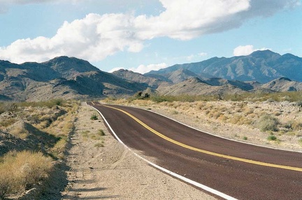 I leave Nipton and start the 12-mile crawl Nipton Road hill toward the Nevada border and Crescent Peak beyond
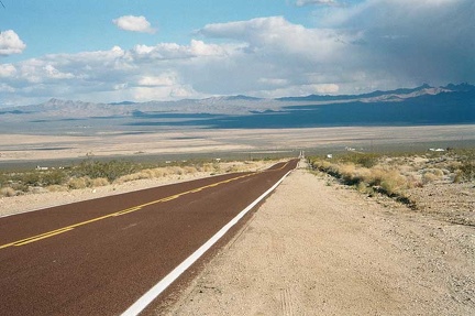 Looking back down at Nipton as I climb slowly
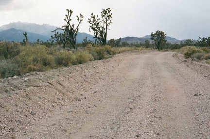 Pinkish gravel on Hart Mine Road; the New York Mountains are not too far away now
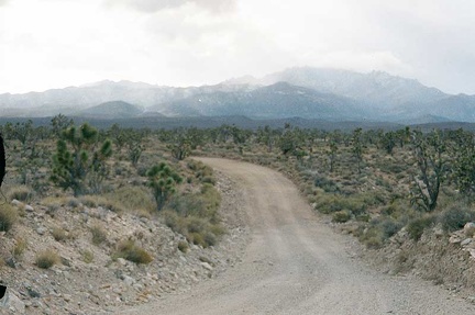 New York Mountains not too far off in the distance; looks a bit snowy over there...
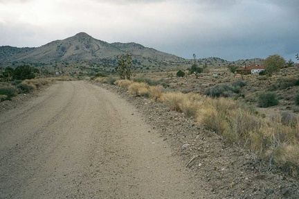 Passing by the three-house settlement of Barnwell
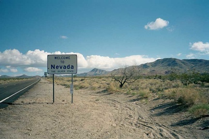 Welcome to Nevada!
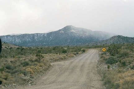 Approaching the base of the New York Mountains, I ride a mile on Ivanpah Road, looking for the road to Keystone Canyon
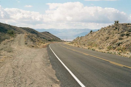 Nipton Road, now Nevada Highway 164, rises through a pass between the New York Mountains and the McCullough Mountains
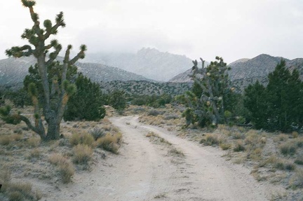 At the bottom of the remote, cold and eerie Keystone Canyon Road, I look for a spot to pitch my tent
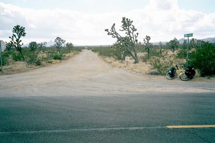 Walking Box Ranch Road turns out to be easy to locate on Nevada Highway 164
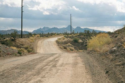 Views of the New York Mountains (today's destination) while heading west on Walking Box Ranch Road
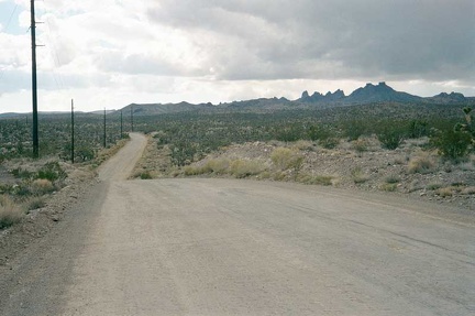 Walking Box Ranch Road passes fairly close to the Castle Peaks, which are visible from Nipton down below on the other side
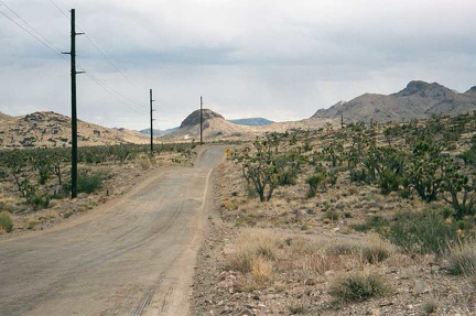 There are a few sharp turns on Walking Box Ranch Road
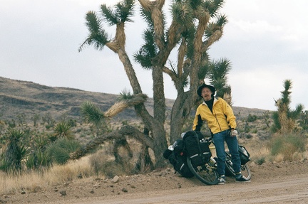 Taking a Joshua-tree break on Walking Box Ranch Road
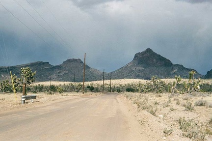 After that previous sharp curve on Walking Box Ranch Road, it looks like there might be another one ahead
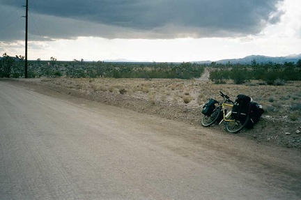 Ominous dark clouds overhead!
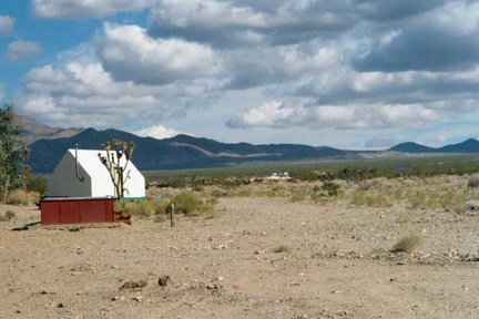 One of the tent cabins at Nipton
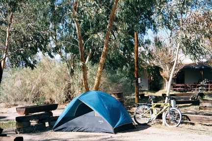 My Nipton campsite
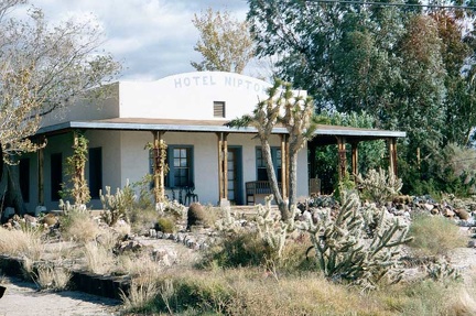 The historic Hotel Nipton building
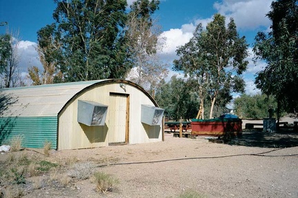 The shower building (quonset hut) at Nipton
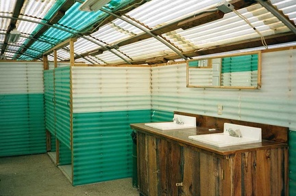 Inside the rustic Nipton shower building, dirt floors and all!
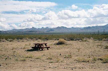 Picnic table behind the Nipton campground
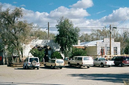 Nipton General Store and the café building
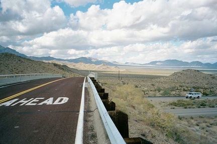 Nipton Road crosses ugly I-15
 Looking down into Ivanpah Valley, west of the I-15/Nipton Road interchange
 Riding down the old road just west of I-15
 Cattle-guard on Nipton Road at I-15
 Top of Nipton Road, looking back toward "town"
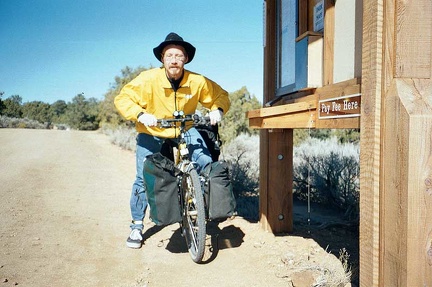 Leaving Mid Hills Campground
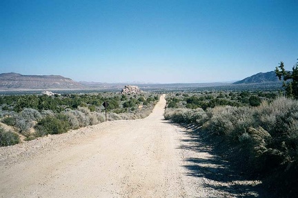 Heading back down the upper part of Wild Horse Canyon Road with a great view of Round Valley beyond
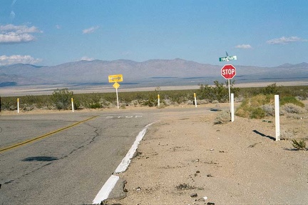 At the bottom of my glorious downhill on Morning Star Mine Road, I meet the junction of Ivanpah Road on the way to Nipton
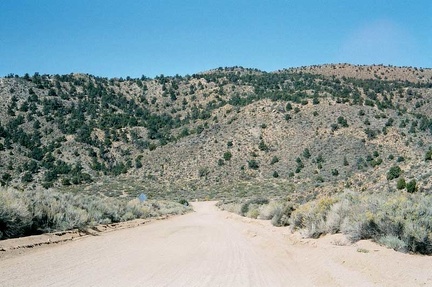 Descending Black Canyon Road to Cedar Canyon Road at the bottom
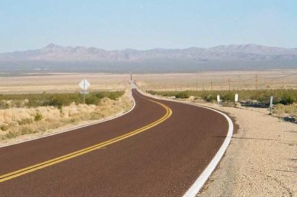 Heading down Nipton Road for the last five miles before reaching town (that blotch of a few buildings off in the distance)
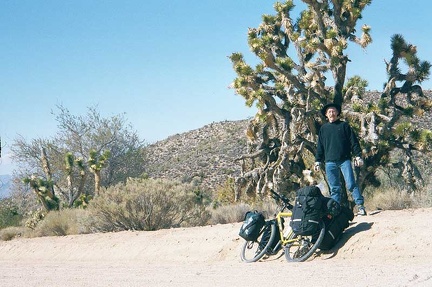 Stopping under a Joshua tree on Cedar Canyon Road
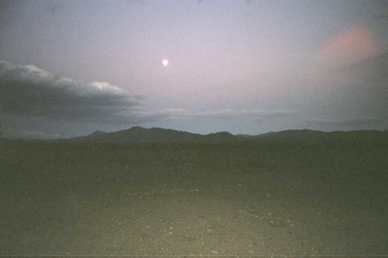 Full moon over Nipton
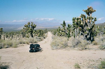 Now on Death Valley Mine Road, I cross the junction of the old Mojave Road
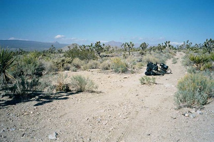 Death Valley Mine Road is almost just a trail in places
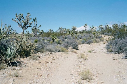 Death Valley Mine Road is also rocky in places
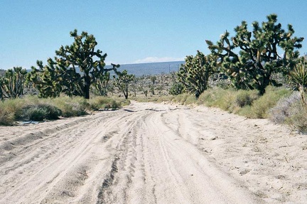 At the end of Death Valley Mine Road, I hit patches of deep sand on the Cima Road
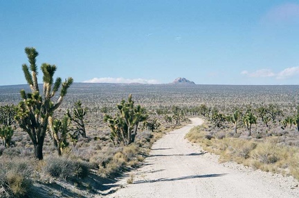 Beautiful open views across the Joshua tree forest on the way down to Cima
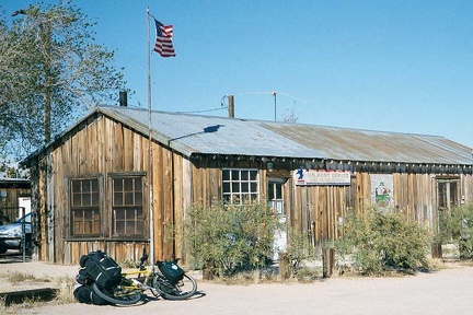 Close-up of the Cima Store and post office
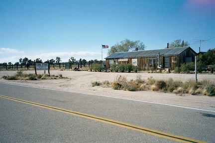 I reach the pavement of Kelso-Cima Road and the Cima Store
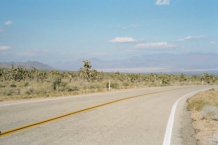 Beginning the ride down Morning Star Mine Road toward Nipton
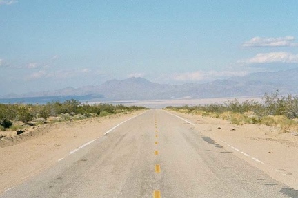 Grand views of the Ivanpah Valley open up as I descend Morning Star Mine Road
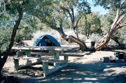 Morning at Mid Hills Campground, Mojave National Preserve
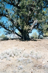 Huge old juniper tree near my campsite at Mid Hills Campground, Mojave National Preserve
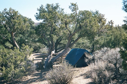 These mountain-desert trees don't provide as much shade as you might get from big trees in a moister climate
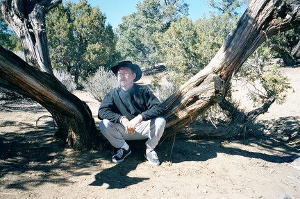 An old, crusty juniper by my campsite offers the perfect sit-down for a late-morning pipe
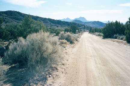 I ride southward down Wild Horse Canyon Road away from Mid Hills Campground, Mojave National Preserve
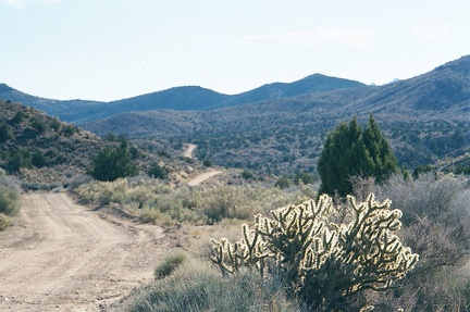 Wild Horse Canyon Road meanders over the hills
 I stop briefly at the top of Macedonia Canyon Road, though I won't be riding down that road today
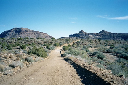 The lower part of Wild Horse Canyon Road passes interesting geological features like Wild Horse Mesa
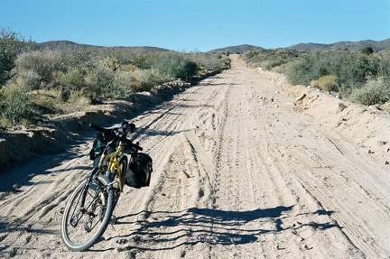 Heavy sand appears on the lower parts of Wild Horse Canyon Road
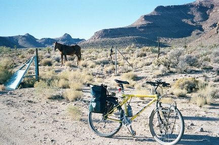 A horse grazes at the bottom of Wild Horse Canyon Road
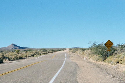 At the end of Wild Horse Canyon Road, I start up Black Canyon Road, which is paved for half a mile or so
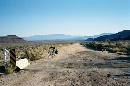 Just beyond the end of the pavement, Black Canyon Road crosses a cattleguard
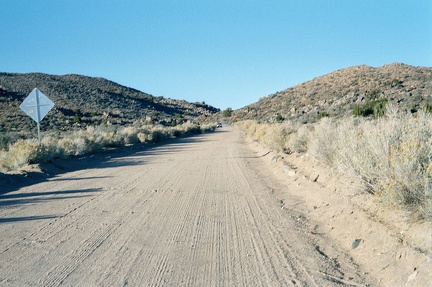 Black Canyon Road climbs slowly the next eight miles toward Mid Hills Campground
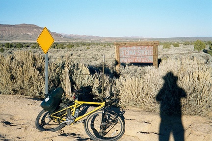 An antique sign for the Cima Store 10 miles beyond sits at the top of Black Canyon Road
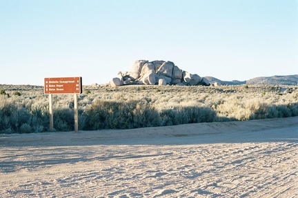 At the top of Black Canyon Road, I go left on Wild Horse Canyon Road for the last couple of miles back to Mid Hills Campground
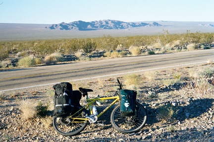 At Kelso Depot, I turn north on Kelso-Cima Road and ride 14.4 miles: more slow uphill, back up to 3800 feet
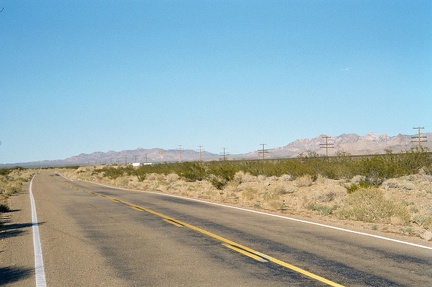 Continuing uphill on Kelso-Cima Road, looking ahead
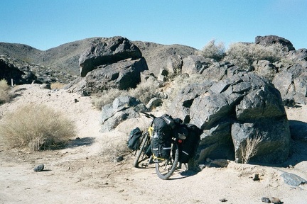 A few miles up Kelbaker Road, I stop for a short break along the edge of the lava beds
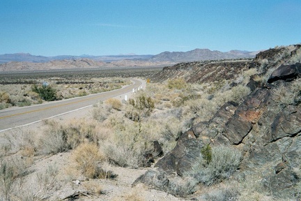 A little further up the road, I climb up the edge of one of the lava flows to get a better view of the area
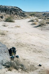 I make another stop in the lava-flow area, this time at Black Tank Wash
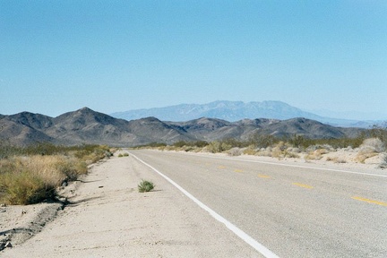 Beyond the old lava, Kelbaker Road continues to rise slowly
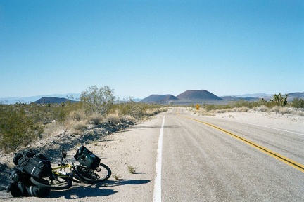 Looking back down behind me on Kelbaker Road as I approach the summit at 3800 feet
 Once over the 3800-foot summit of Kelbaker Road, I start the 12-mile glide down to the abandoned Kelso Depot at 2100 feet
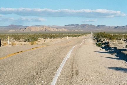 I ride into Mojave National Preserve up Kelbaker Road away from Baker, California
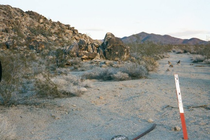 Posts mark the beginning of a Wilderness area at the base of Kelbaker Hills
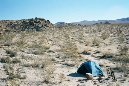 Wake up! After a rejuvenating sleep, I get up and snap a few photos of the Kelbaker Hills area before packing up
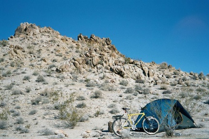 A different view of the Kelbaker Hills campsite showing the rocky hill behind it
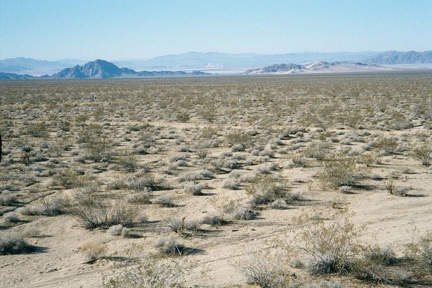 View northwest across the desert toward Soda Lake from Kelbaker Hills
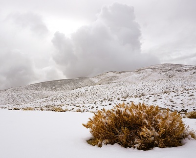 Hopsage bush and snow
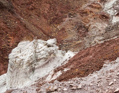 "The Scream"
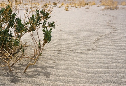 Avian desert-hiker tracks
 Sundown at a tiny dry lake in the Death Valley backcountry
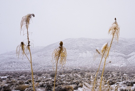 Last season's prince's plumes blossoms discuss the day's snowfall
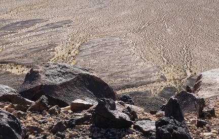 Downfall
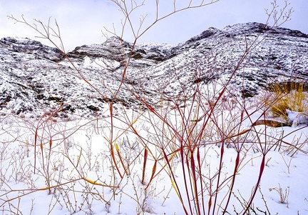 Desert trumpet buckwheats in snow
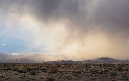 Precipitation system approaching
 Desert turret with view
 Martian landscape, Convergence Canyon
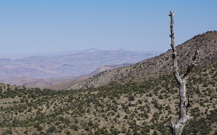 Old survivor
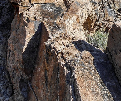 US Survey 1911
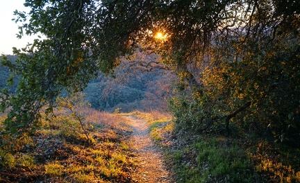 Tree cover, Middle Steer Ridge Trail, Henry Coe Park
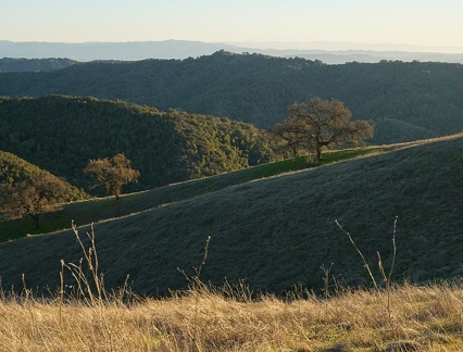 Split sunlight
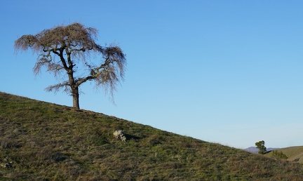 Ridge line
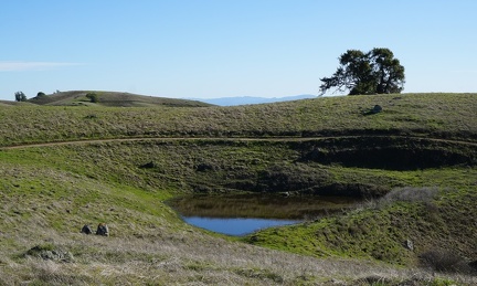 Pond at Wagon Road/Phegley junction
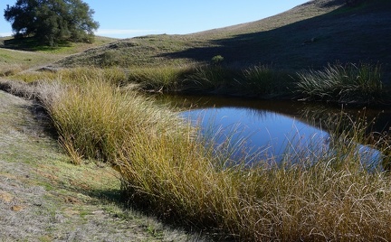 Redfern Pond
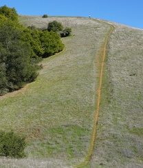 A hiker atop the Phegley Ridge Trail "wall"
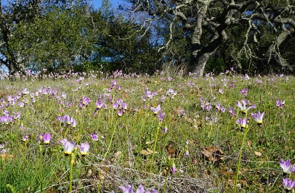 Shooting stars
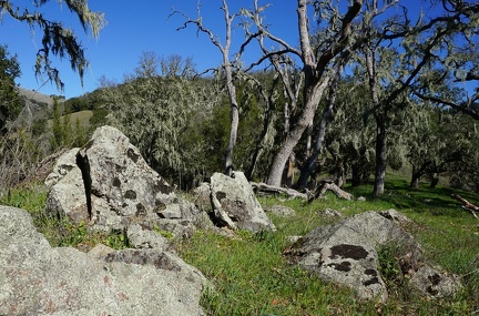 Lichen rocks
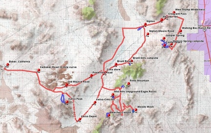 Mojave National Preserve hiking and bicycle routes, 2010 trip
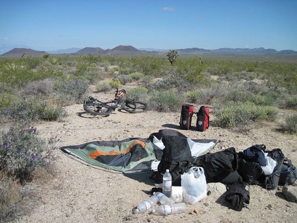 No sign of last night's rain; I'm up around 7h, have breakfast, then pack up leisurely for today's ride to Mid Hills campground
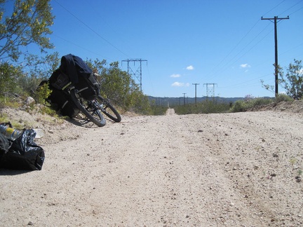 I walk my packed saddlebags back to the powerline road, assemble the 10-ton bike, then ride a short distance to reach pavement
 Once back on the pavement of Kelbaker Road, I begin the always-wonderful 12-mile downhill to Kelso
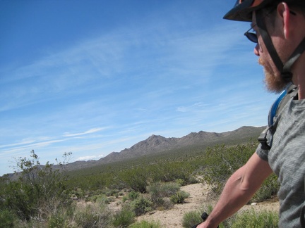 As I coast down Kelbaker Road, I glance often at Kelso Peak, where I hiked yesterday
 An old-style power line follows Kelbaker Road as it descends past the Kelso Mountains toward Kelso
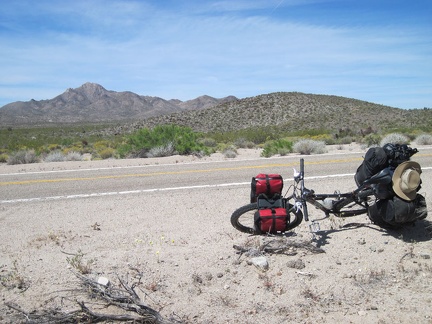 I pull over on Kelbaker Road, with Kelso Peak still in view, and go for a short walk
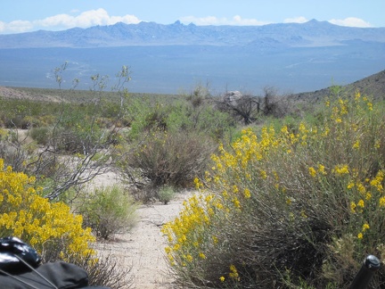 I look across a patch of yellow desert senna flowers at the Mid Hills area in the distance, my destination today
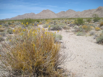 A little further down Kelbaker Road, I stop again to look at a desert senna with dodder growing in it
 Across the lower, southeastern end of the Kelso Mountains are nice views to Kelso Dunes and the Granite Mountains beyond
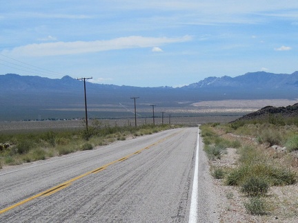 As I reach the bottom of this stretch of Kelbaker Road, the hamlet of Kelso keeps getting closer
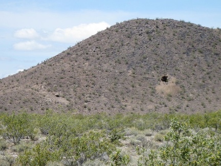 Coyote melon grows on the shoulder of Kelbaker Road just north of Kelso
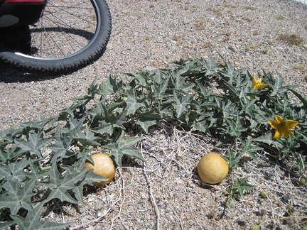 3865-coyote-melon
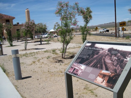 I break for 60 minutes at the Kelso Depot visitor centre to refill my water supply and enjoy an iced tea at the lunch counter
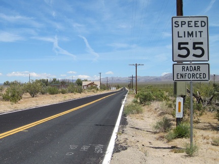 After my break at Kelso Depot, I begin the gentle 15-mile uphill ride on Kelso-Cima Road
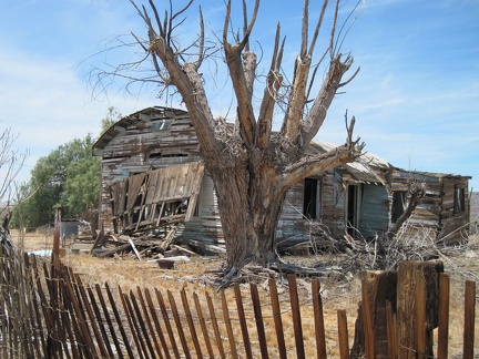 My favourite old house here at Kelso, the one with the rounded roof, isn't doing so well
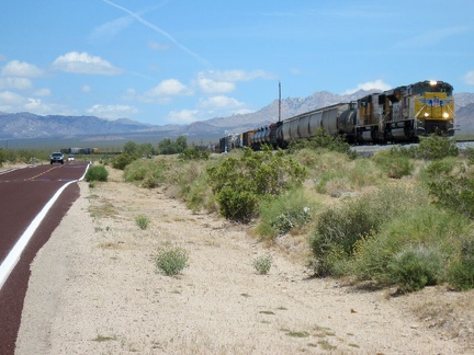 One of several long freight trains passes by as I slowly rise up Kelso-Cima Road
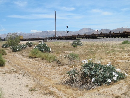 Blooming daturas decorate the train tracks along Kelso-Cima Road
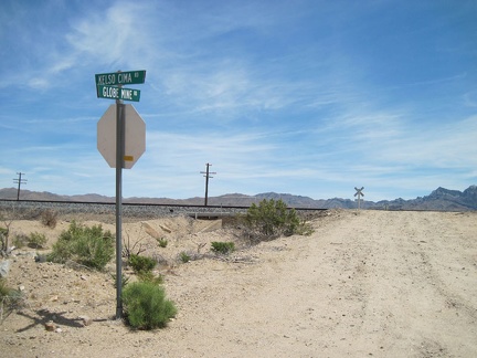 I pass Globe Mine Road, the only signed road off Kelso-Cima Road between Kelso and Cedar Canyon Road
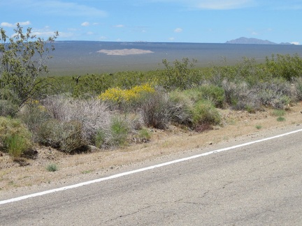 I amuse myself visually with the views of Cima Dome and Kessler Peak on my left as I climb Kelso-Cima Road
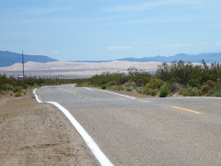 Behind me, looking back toward Kelso, are some great views of the Kelso Dunes
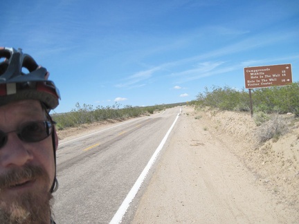 Reaching the sign for Cedar Canyon Road after 15 miles: I'm happy and pull over for a break
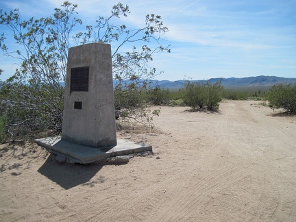 I take my break at the E Clampus Vitus Mojave Road marker at the junction of Cedar Canyon Road and Kelso-Cima Road
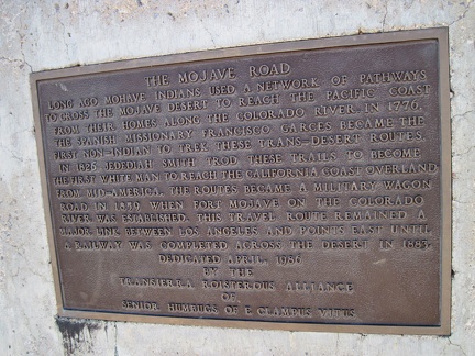 Detail view of the E Clampus Vitus plaque at the junction of Mojave Road, Kelso-Cima Road and Cedar Canyon Road
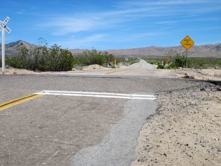 I begin the climb up Cedar Canyon Road toward, and then into, the Mid Hills
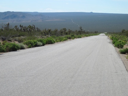 The first 2.5 miles of Cedar Canyon Road rise at about 5% grade, so the views behind me improve quickly
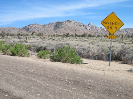 Cedar Canyon Road's famous "pavement ends" sign, Mojave National Preserve
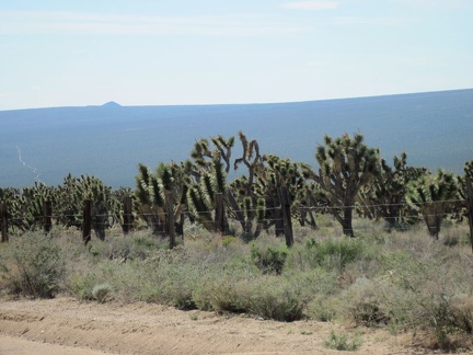 Cedar Canyon Road rises through a healthy joshua tree forest, with Cima Dome still in the background when I look behind me
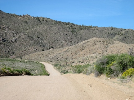 Once Cedar Canyon Road enters the Mid Hills, it drops down into Cedar Wash for a couple of miles
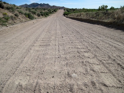 Looking behind me at the heavily washboarded surface of Cedar Canyon Road as it drops into Cedar Wash
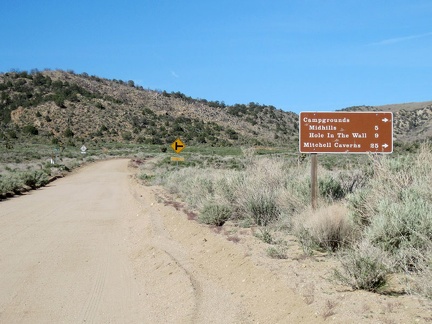 After six miles on Cedar Canyon Road, I reach my next turn for Mid Hills campground: Black Canyon Rd. Time for a break!
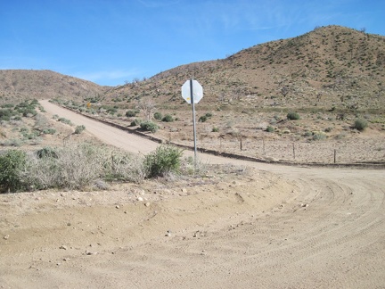 After my break, I ride up Black Canyon Road from Cedar Canyon Road, still 5-6 miles away from Mid Hills campground
 An energy-bar break is de rigueur here before tackling the final few miles up to Mid Hills campground
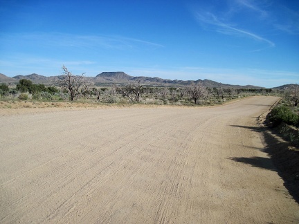 The climb up Black Canyon Road toward Mid Hills only lasts a mile until I reach an almost-flat plateau (Round Valley)
 The Round Valley area of Mojave National Preserve includes quite a bit of private land
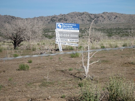 A chunk of land in Round Valley is for sale
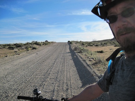 I ride up the gravelly Wild Horse Canyon Road the final two miles to Mid Hills campground
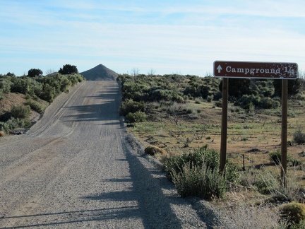 Finally, I reach the Mid Hills campground entrance road; those final two miles always seem to last forever
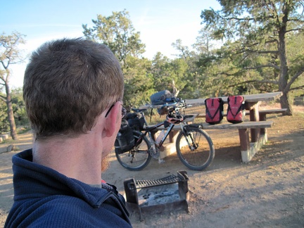 I ride almost 3/4 mile to the far end of Mid Hills campground to see if my prized site 21 is taken or surrounded by undesirables
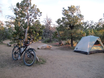 It's a bit chilly up here at Mid Hills campground! I put on my sweater, set up the tent, settle in, and enjoy the sunset
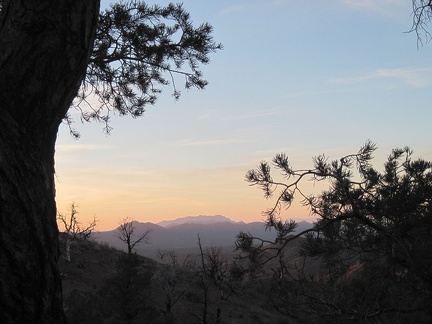 Sunset from Mid Hills campground through a pinyon pine; that should be the Kingston Range way over there
 The usually ochre hills on the other side of Cedar Canyon Road, which I passed earlier, collect the day's pinkish orange rays
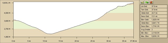 Kelso Peak area to Mid Hills campground, Mojave National Preserve, route elevation profile
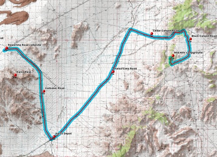 Kelso Peak area to Mid Hills campground, Mojave National Preserve, bicycle route
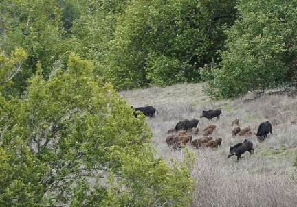 Wild pigs
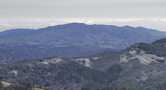 A glimpse of the distant Sierra from Steer Ridge on a very gray day
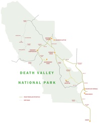 Map of Death Valley area showing 2007 bicycle routes travelled
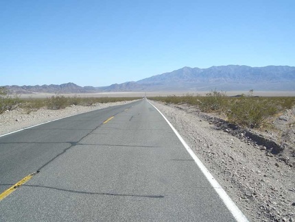 Crossing the floor of the Dumont Dunes valley
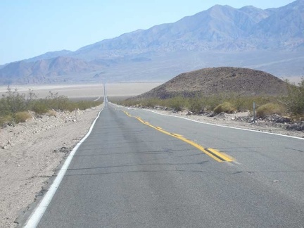 Entering the valley, with the Avawatz Mountains in the background
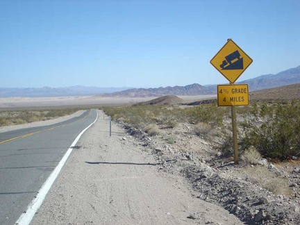 Ooo, four-percent grade for a few miles
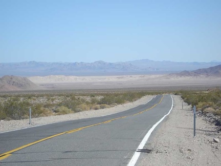 Dumont Dunes get closer as the descent continues
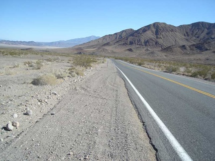 Highway 127 winds its way down
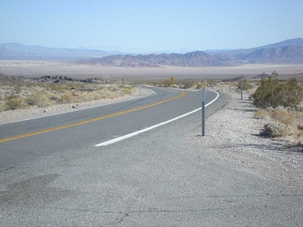 Descent from Ibex Pass continues
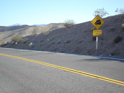 Five-percent grade ahead
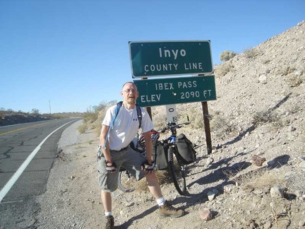 Just before descending is the sign on the other side of the road for uphill climbers
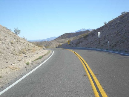 The descent into the Dumont Dunes valley is about to begin
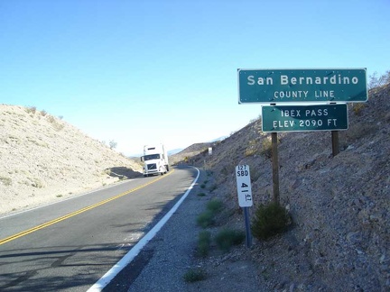 Heading back to Baker from Tecopa Hot Springs, I pass over the summit of Ibex Pass on Highway 127
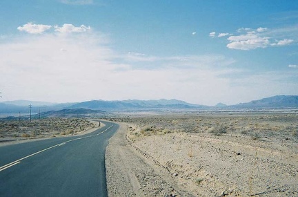 Near the crest of China Ranch Road, I chat with another bicyclist before heading down to Tecopa Hot Springs to end the day
 I walk back to the China Ranch store, rest briefly, drink two cans of cold Coca-cola, and begin the ride up out of the canyon