Home 7119

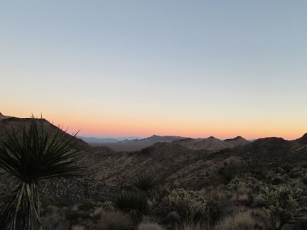 The sunset and belt-of-Venus view at the top of the Old Government Road is as good as it's going to get
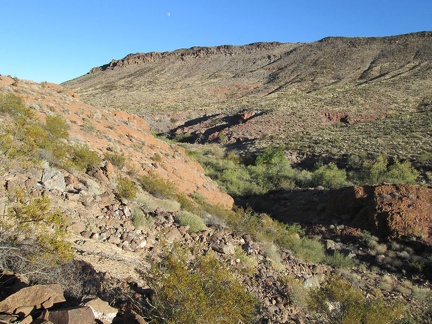 There's a moon in the sky!
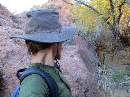 I walk back down to the canyon floor: big rocks, willow trees and cottonwoods along Piute Creek
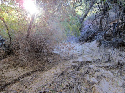 Layers of roots, dropped foliage and sand drainage in this dry part of the Piute Creek bed
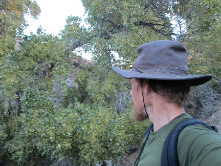 I walk through a few cottonwood trees to get back to the stream that emanates from nearby Piute Spring
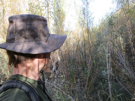 I cross through some of the riparian brush at Piute Creek
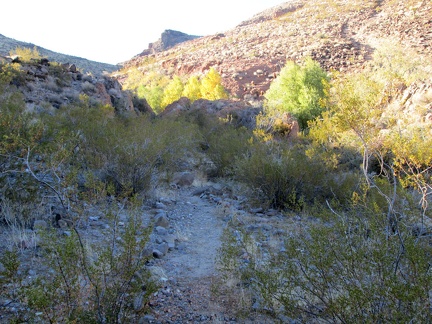 I don't find any of the old road, but I do find parts of a trail here in Piute Canyon
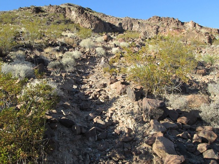 I follow the trail a short distance up a hill, but this is headed away from the stream that I want to follow
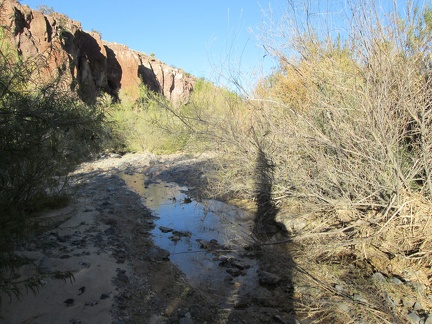 It's fun to explore randomly, but I'm also here to fetch more drinking water
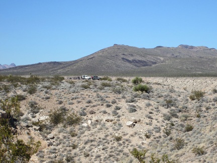 While getting ready for today's hike down to Piute Spring, I have my first and only sighting of humans for the day
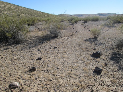 This part of the Piute Gorge Trail is marked by rocks, but there are few footprints here to keep the trail alive
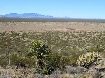 As I gain a little elevation, I can see the rounded corral that I rode past yesterday
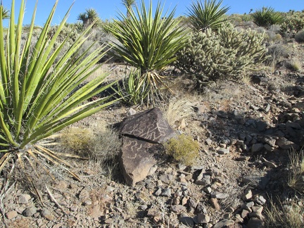 On my way up the hill, I pass by this engraved rock
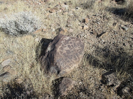 And here's another one...
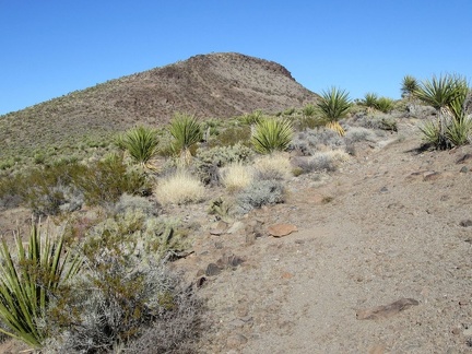 The Piute Gorge Trail joins the Old Government Road and I approach the crest
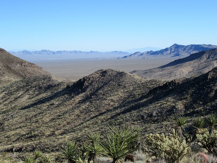 Nice views across the next valley toward the Dead Mountains Wilderness area, outside Mojave National Preserve
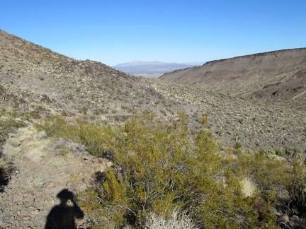 From here, I'll start winding my way downhill toward the Piute Spring area
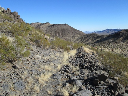 Today, not much remains of the Old Government Road except for some rock build-up
 Sometimes, the old trail is washed out
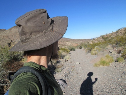 I arrive at the wash headed toward Piute Creek and follow it downward
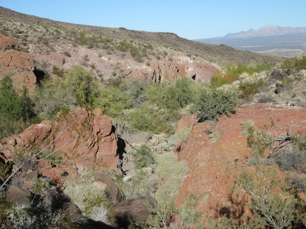 At the bottom of the wash, I walk around looking for P G s that are indicated on one of my maps
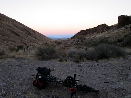 I arrive at the end of the road, happy to make it before dusk
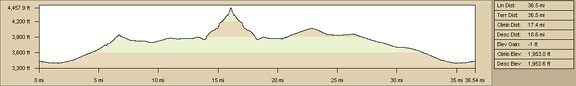 Elevation profile of bicycle route, Piute Gorge to Hackberry Spring via Rattlesnake Mine
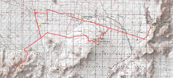 Round-trip bicycle route, Piute Gorge to Hackberry Spring via Rattlesnake Mine
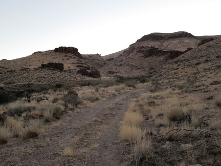 Just a few hundred feet further...
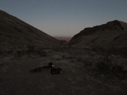 I've just finished filtering my water and it's getting dark; time to ride back to camp at Piute Gorge, in those distant hills
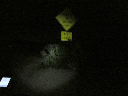 I ride 2 miles on Ivanpah Road before turning off on the Mojave Road to head back to Piute Gorge; I arrive home a bit past 21h
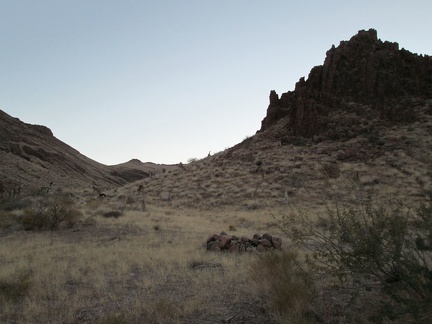 I want this campsite!
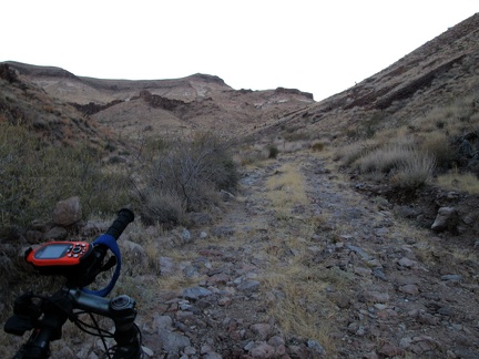 I'm almost at the spring, but it's much easier to walk up this rocky stretch than to try riding up it
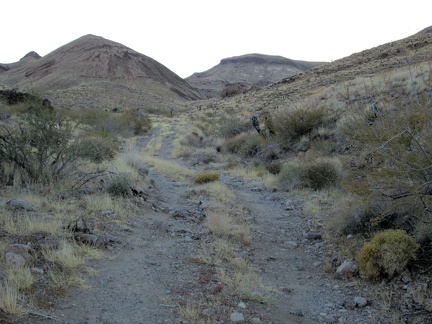 I come around a corner, and the sun is behind the mountains now
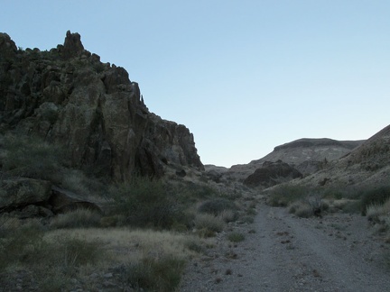 Rocky hills along the road into the Hackberry Mountains
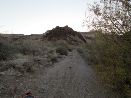 Fine gravel!
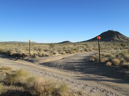 This private property in the Bobcat Hills area is marked by plastic pumpkins
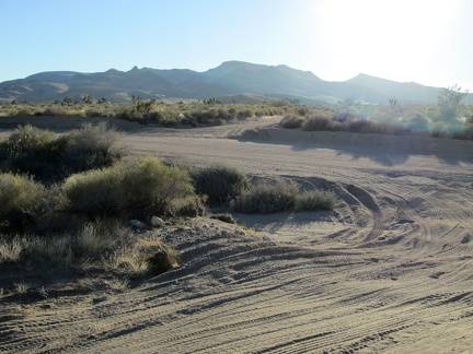 My road ends, and I scoot across Ivanpah Rd to start riding the road into the Hackberry Mountains
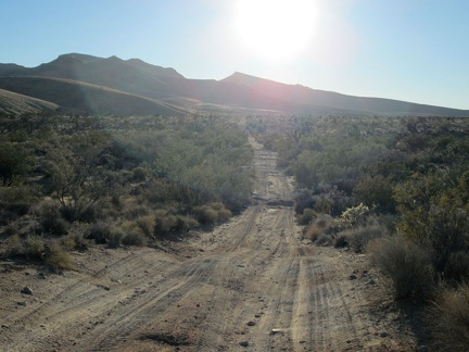 The first part of the road into the Hackberry Mountains is a bit sandy and bit rough
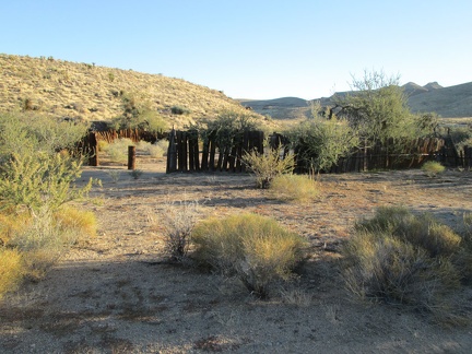 I pass an old corral in the Hackberry Mountain foothills
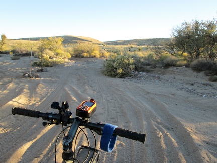 Predictably, I have to walk the bike across this sandy wash crossing on the way into the Hackberry Mountains
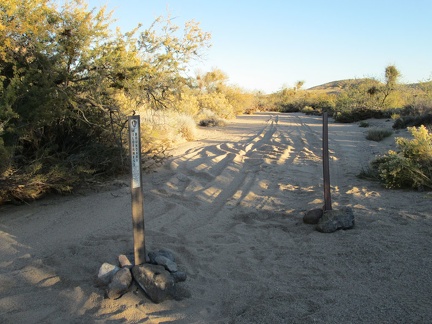 It looks like signage has been recently re-erected to remind people to not drive their 4WD vehicles in the Wilderness area
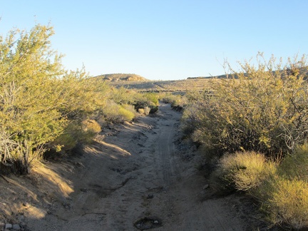 This stretch of the road is pretty soft, and I have to walk the bike a bit
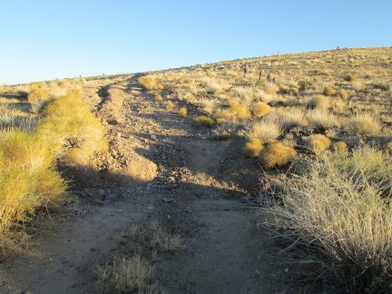 This short, steep and eroded piece of road makes me wonder if it will get worse
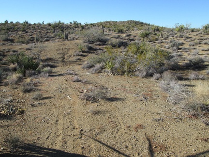 The road almost becomes invisible in a few spots on the way up the hill
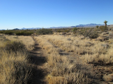 One thing I enjoy about this road is the changing landscape
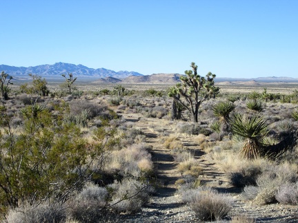 A scattering of Joshua trees dot this transitional Mojave landscape
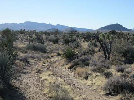 Sunset will be a couple of hours from now; I'm trying to decide whether to go all the way to Hackberry Mountain, ahead at left
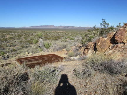 This unusual metal grate over a mine hole is apparently intended to keep the mine shaft open to bats
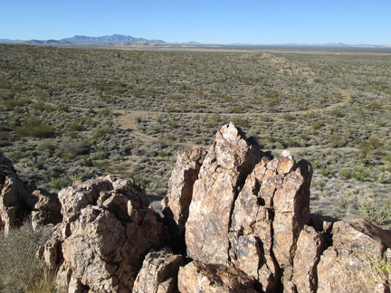 The views from the Rattlesnake Mine rooster-comb extend all the way across the Lanfair Valley to the New York Mountains
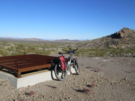 From the Rattlesnake Mine site, I still have views across the valley to my Piute Gorge campsite, that slot in the distant hills
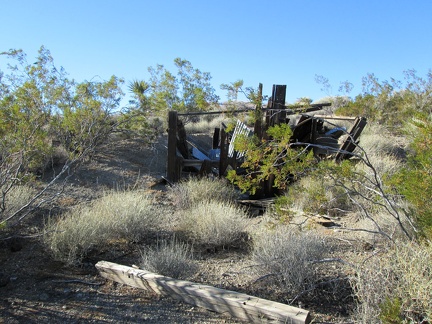 I take a look at some crumpled structure remains near Rattlesnake Mine before continuing my bike ride
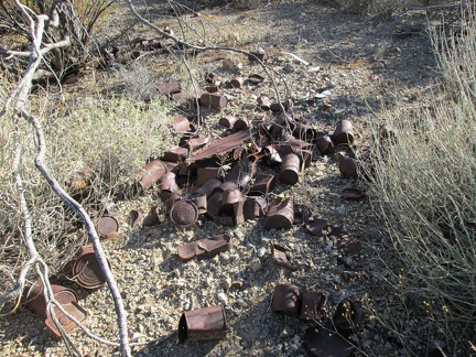 Everyone loves a good historic desert can dump, don't they?
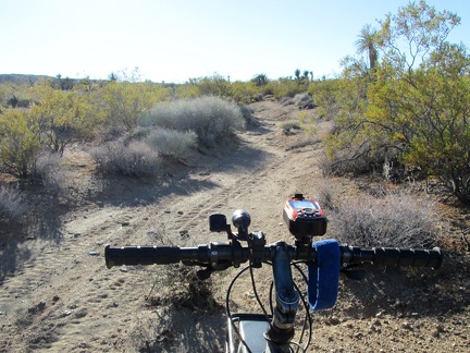 Beyond Rattlesnake Mine, the old road gently climbs another 200 feet or so
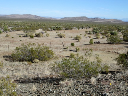 From the Rattlesnake Mine site, I have a clear view across the valley to my Piute Gorge campsite, that slot in the distant hills
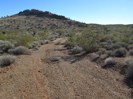 A little further up Rattlesnake Mine Road, I decide to go for a short walk up to the top of the rooster-comb ahead
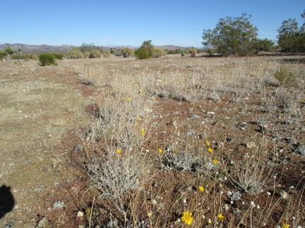 A few yellow flowers (Encelia farinosa perhaps) bloom at the old Rattlesnake Mine site
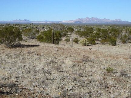 This part of the old Rattlesnake Mine site has great views over to both the Castle Peaks and the Castle Mountains
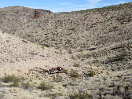 I take a look down into the canyon at an old discarded truck before heading out on today's bicycle ride
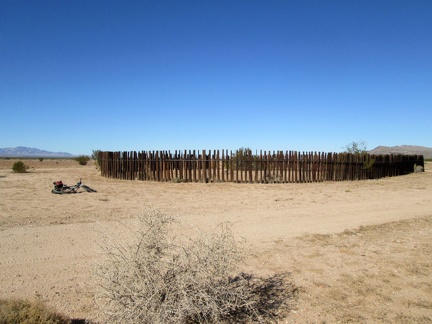 Shortly after I start today's bike ride, I ride past an old circular corral
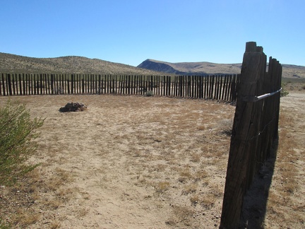 Inside the corral is a fire ring
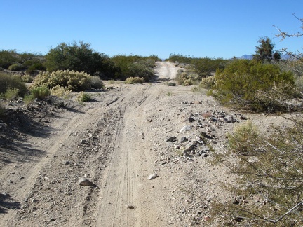 Just before I start riding up the pipeline road here, I run into Bryan and his sons in their pickup, and we have a great chat
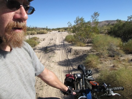 I have to walk the bike across several sandy wash crossings on the pipeline road
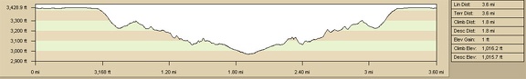 Elevation profile of Piute Canyon/Piute Spring hike
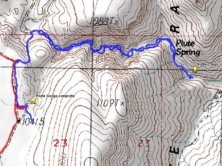 Hiking route: Piute Canyon to Piute Spring
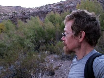 About two gallons of water filtered from Piute Spring, I hike back up the canyon to my campsite
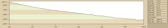 Elevation profile of bicycle ride to Piute Gorge
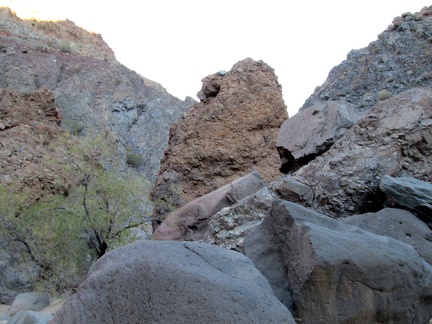 Big boulders in Piute Canyon
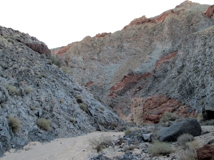 Piute Canyon: down we go...
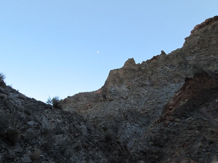 A half-moon looks down at me while hiking Piute Canyon
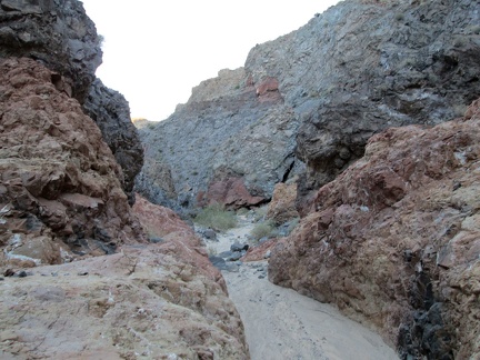 It must be dramatic when water gushes down this well-worn drainage in Piute Canyon
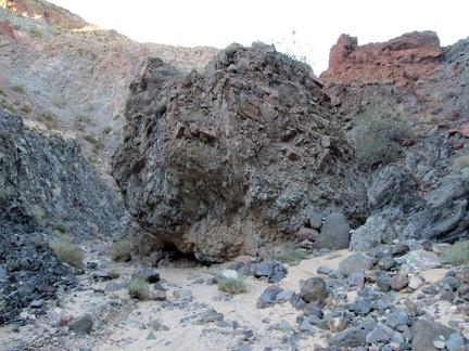 This huge ball of rocks seems to have tumbled down the hillside in Piute Canyon
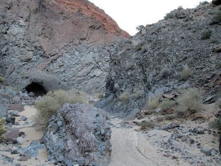 I should be close to Piute Spring now
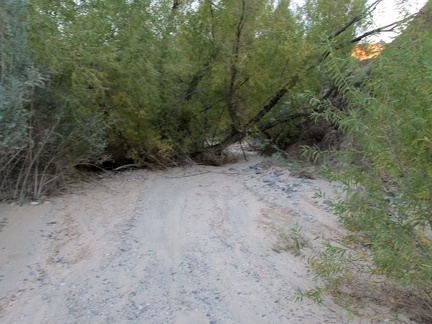 I come around another rocky bend and arrive at trees, mostly willows: Piute Spring is here somewhere
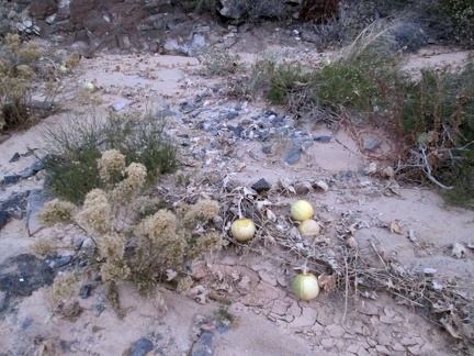 I pass a few coyote melons on the way back up Piute Canyon and arrive at my campsite just before total darkness
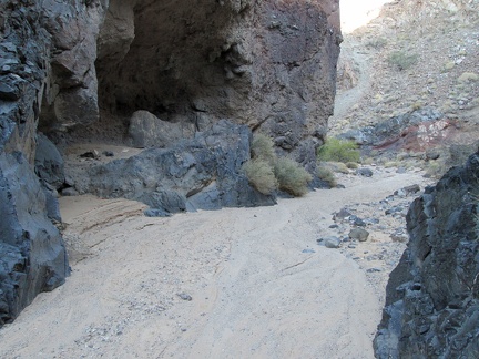 Here's a little rock shelter in Piute Canyon
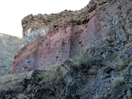 Colourful layers of earth are exposed in Piute Canyon
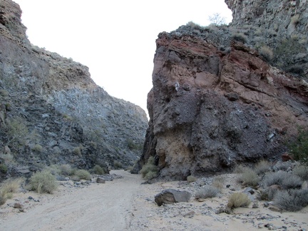 Some of the layers are tilted
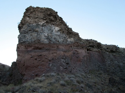 Layers exposed by erosion
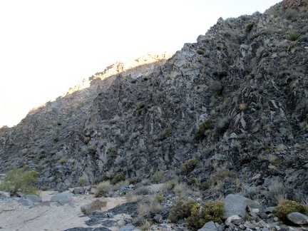 This rock-wall segment in Piute Canyon has a crumpled appearance
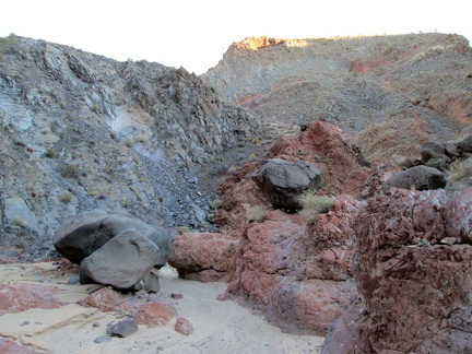 Rust and grey-blue in Piute Canyon
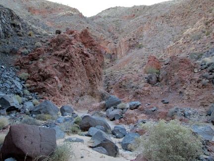 Boulders strewn about in Piute Canyon
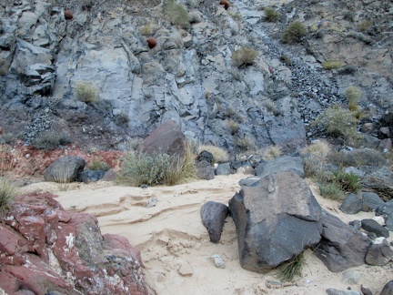 Layers of sandy sediment are exposed here and there in Piute Canyon
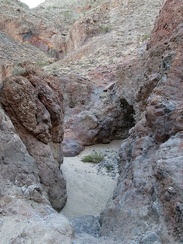 A couple of steep steps down here in Piute Canyon
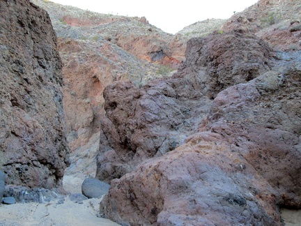 I pass through a slot in Piute Canyon
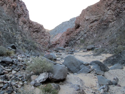 Piute Canyon opens up a little
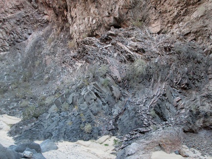 Twisted rock layers in Piute Canyon
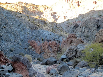 More rust and grey-blue in Piute Canyon
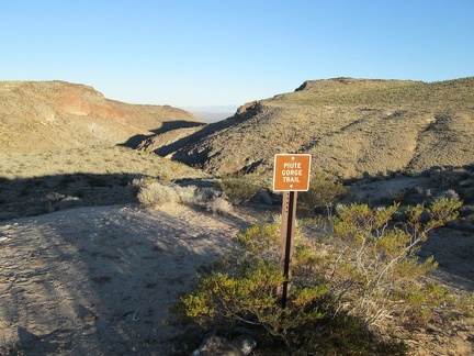 I begin the hike down to Piute Spring by walking over to the trail sign at campsite #2
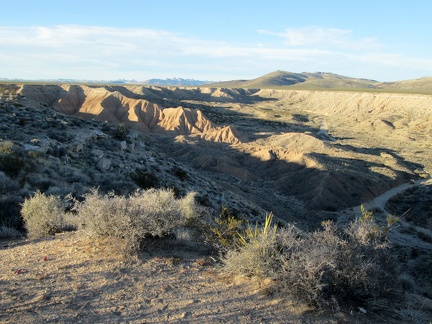 Late-day sunlight looks great in Piute Gorge
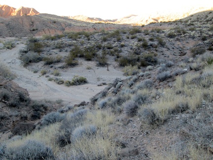 I'm almost at the bottom of the rather eroded trail leading down to Piute Canyon
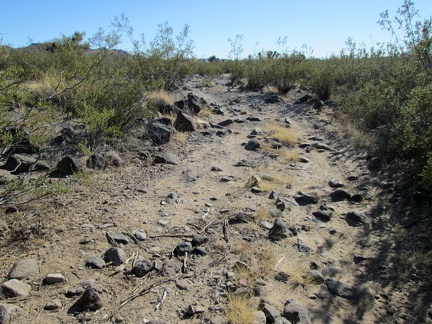 Part of the road sprouts a lot of rock
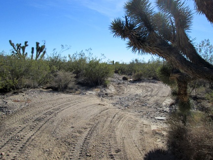 Don't brush up again that Joshua tree and cut your head open while passing by!
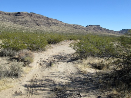 An easy-riding stretch is coming up just around this bend...
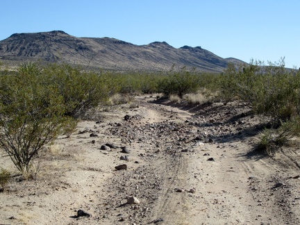 A bit of rock, a bit of sand...
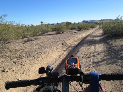 An hour later and I'm still on this road: getting close to Piute Gorge now!
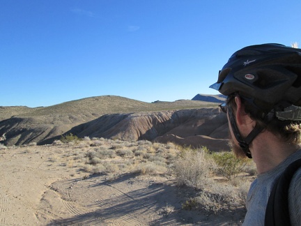 I arrive at Piute Gorge and check out a couple of the campsites that overlook the gorge
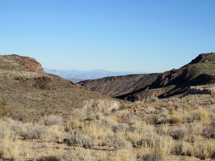 I've just arrived at the Piute Gorge area and I love it already, as Ranger Matt told me I would, several years ago
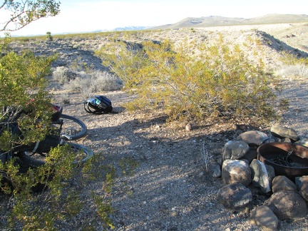 I choose a campsite overlooking Piute Gorge, then quickly prepare to go for a short hike down to Piute Spring before dark
 Hmmm, my road has become rather sandy here because it's in a drainage channel now
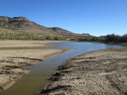 I come across another cattle pond, this time a really big one
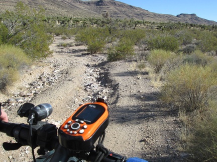 The road is quite rough for the final few miles to Piute Gorge
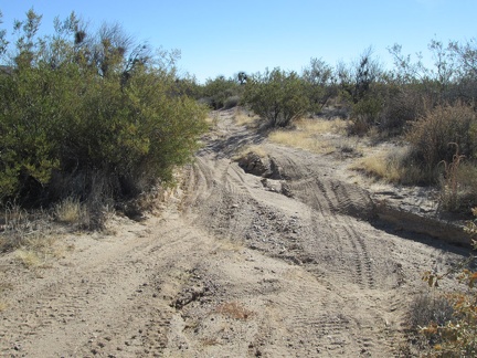 More fun riding on the way to Piute Gorge
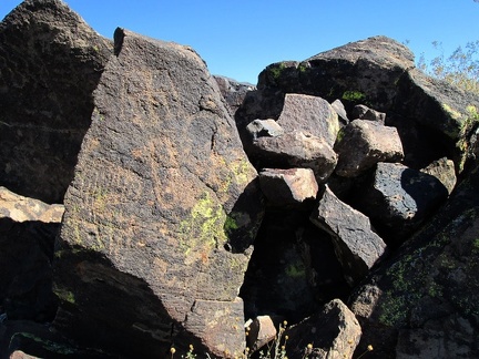 Paint or etching?
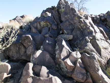 More more more rocks
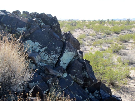 I'm quite satisfied by this unexpected discovery here
 Subtle
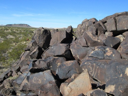 A lookout point from the rocks
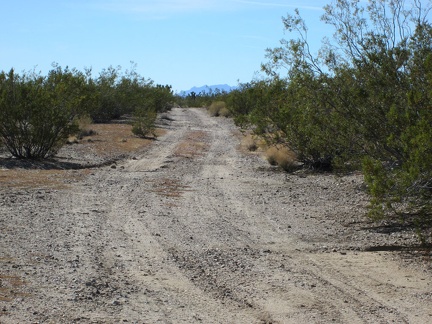 Back on the 10-ton bike, I'm happy to see my route has firm ground here
 I wonder if this grassland is natural, or if it was converted into grassland by the cows that grazed here for decades
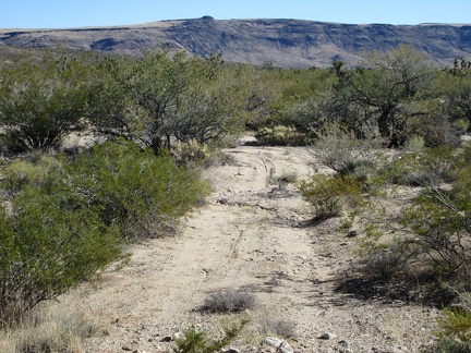 After packing up camp, I start the ride down the dead-end road that I didn't ride up yesterday
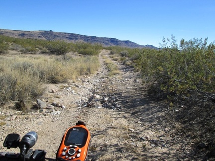 So far, this road provides a variety of surfaces from firm to rocky
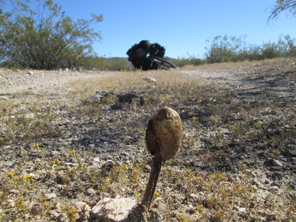 A mushroom pops up in the middle of the road amidst a light carpet of eriophyllum flowers, if that's what they are
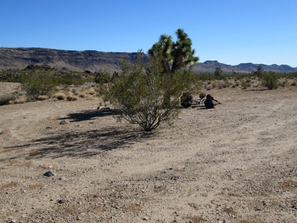 I don't need a rest yet, but this looks like a good place to stop and go for a short walk
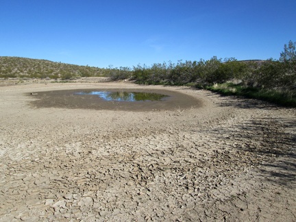 Another old cattle pond, this one surprisingly still with a bit of water
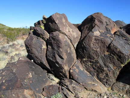 More rocks
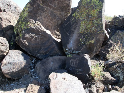 More more rocks
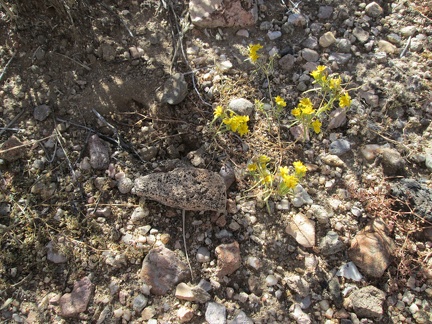 There are very few flowers blooming at this time of year out here, but I spot a patch of these tiny yellow guys near my tent
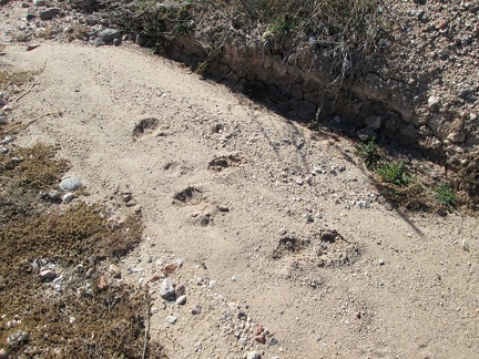 I notice some fresh footprints in the wash while I'm out walking around on my morning toilet run
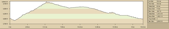 Elevation gain of bicycle ride to Lost Camp, Lanfair Valley, from Slaughterhouse Spring
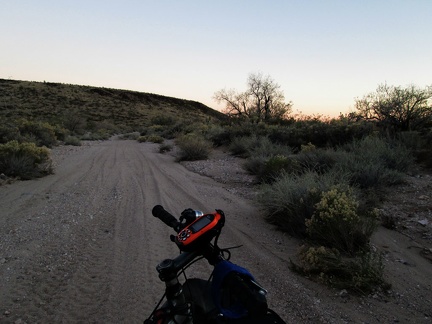 The Lost Road takes me into a wash briefly, with many tire tracks, before I return to the faded trail and find a campsite
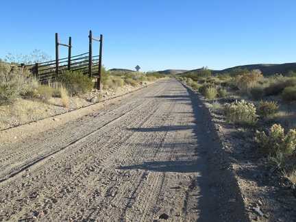 Corral remnants along Hart Mine Road
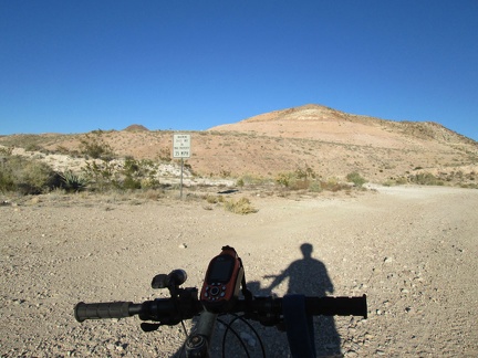 I stop at another junction near Hart to decide how I want to proceed
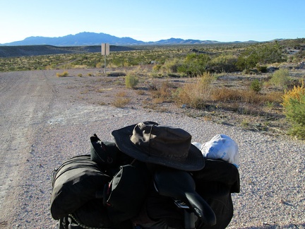 Before continuing, I look back to the New York Mountains, the area where I spent the last two nights, some 15 miles away
 I decide to try this fairly well-maintained road as a route around the Castle Mountains, even though it's not on my map
 The road narrows and I find myself riding along a chain-link fence
 I'm not able to ride this faded road any longer, and the tire tracks I was seeing here have all but disappeared
 The tire tracks are really faint in some places and hard to follow, like here
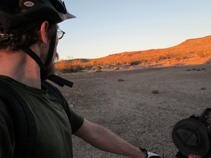 I arrive at a dried-up cattle pond, just before sunset
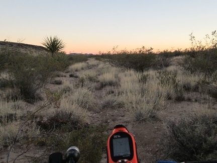 The 10-ton bike pushes ahead on The Lost Road, with significant GPS assistance
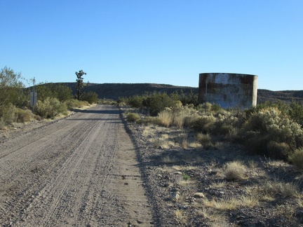 I come across another old reservoir along Hart Mine Road
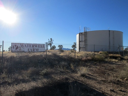 I pass Waterwell Farm, which appears to be a defunct modern water reservoir
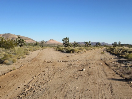 As I approach the Castle Mountains, the choice of possible routes to follow increases
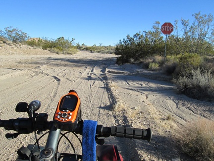 It's funny to run into a stop sign in the middle of nowhere near the old Hart Mine
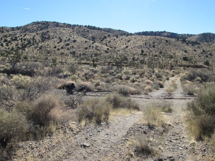 After filling up on water, I hike the 1/2 mile back to the 10-ton bike and resume today's journey toward the Piute Range
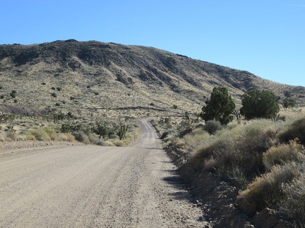 Back on Ivanpah Road, I'm at about 4600 feet elevation, almost at my high point for the day
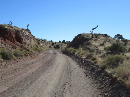 Ivanpah Road passes through a blasted slot through the rocky landscape
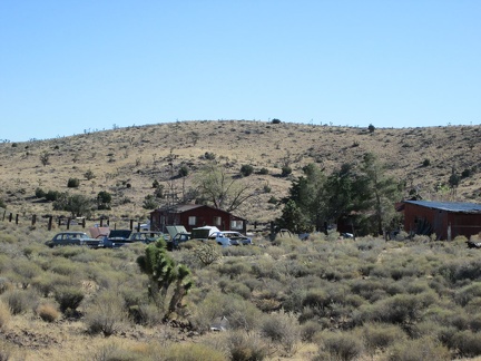 As I approach the old settlement of Barnwell, I'm compelled to stop and look at the old private automobile graveyard there
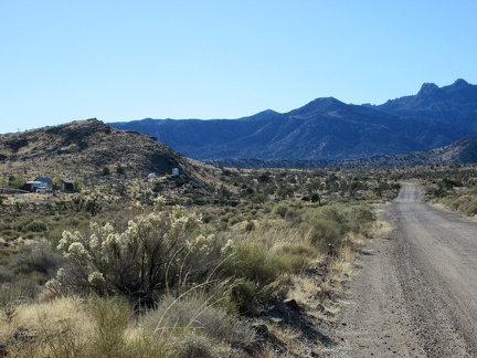 At 4800 feet elevation on Ivanpah Road, my high point of the day, I'll turn left on Hart Mine Road at Barnwell, 100 feet ahead
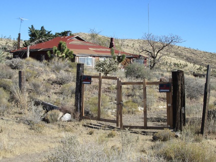 I take a peek at one of the old houses at Barnwell while riding by, as I like to do
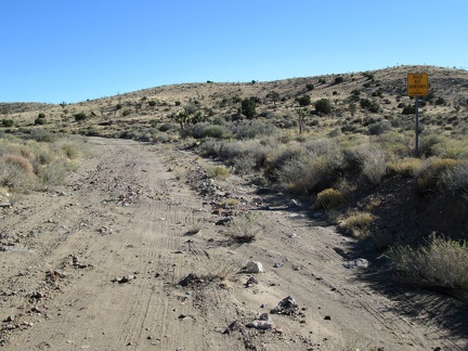 Parts of Hart Mine Road have a tendency to get a bit washed out
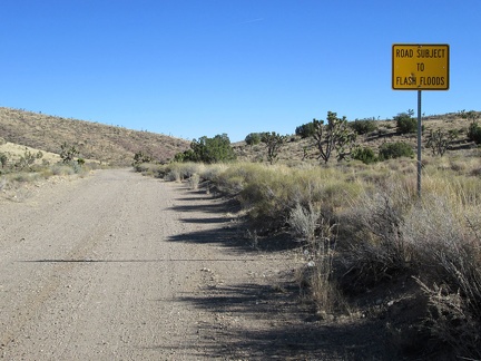 This sign explains why Hart Mine Road is sometimes in rough condition
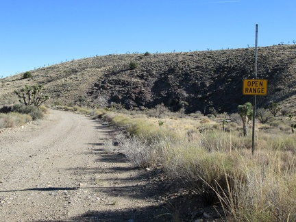 Open range on Hart Mine Road
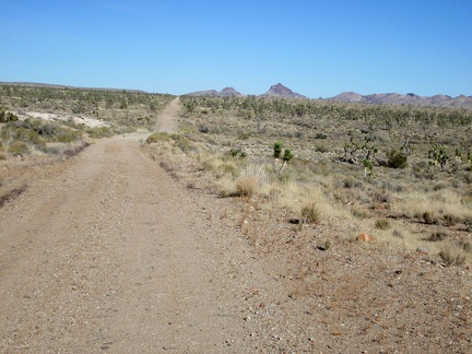 This part of Hart Mine Road follows an old railway grade that dates back to the old mining days
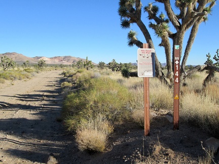 At this point, I'm now outside the Mojave National Preserve boundaries, and will be for most of the rest of the day
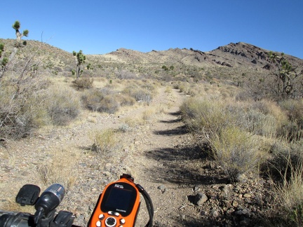 I ride a short distance up the road to Bathtub Spring, stash the 10-ton bike in some bushes and hike up to the spring
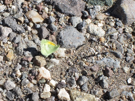 On the way to Bathtub Spring I pass several small, colourful butterflies
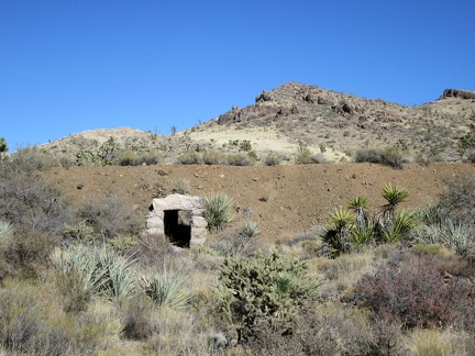 Before Bathtub Spring Road rises up to the old Ivanpah railway grade, I notice a drainage tunnel under the old track bed
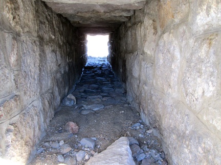 I'm surpised that this drainage tunnel is in such good condition
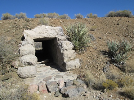 Close-up of the tunnel under the old railway grade
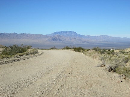 I ride a short distance up Ivanpah Road and turn back to take in the great view across Ivanpah Valley behind me
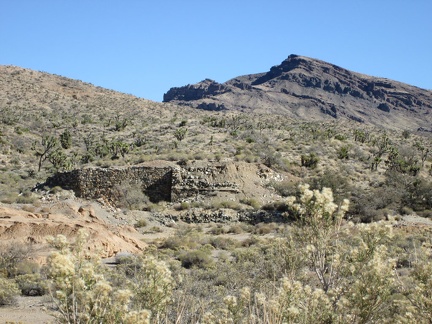 I pass the old stone foundation of something near Ivanpah Road
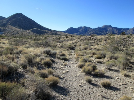 I walk down to the wash for my morning toilet run and notice the tracks of an old road no longer used
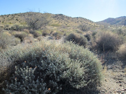 A big sage is sprouting some fresh-looking growth
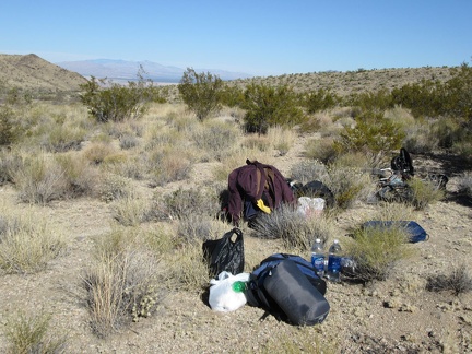 I've had breakfast, done my toilet run and lazed around a bit: now it's time to pack up the tent and move on
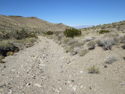 Packing up done! I ride the 3/4 down the bumpy hill to Ivanpah Road
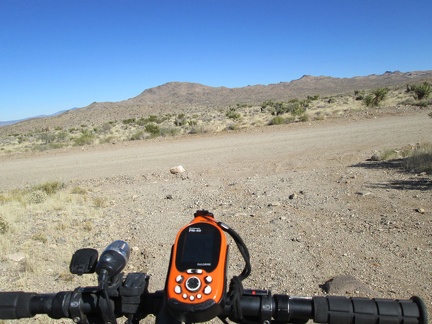 I arrive at Ivanpah Road and turn right to head up into the New York Mountains
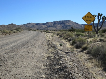 There's that threatening sign again on Ivanpah Road: Rough Road, Next 23 Miles
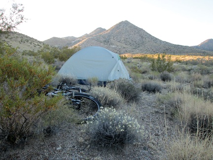 Another morning at Slaughterhouse Spring; nice!
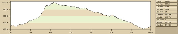 Slaughterhouse Spring hills hike, elevation profile
 A lot of fill was used to build up the Ivanpah railway bed across low-lying drainage areas like this one
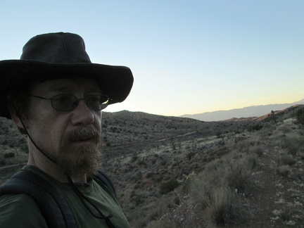 Today's Ivanpah Road, an important north-south corridor in the Mojave National Preserve, is visible behind me
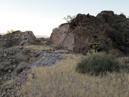 Here's another slot blasted through the hill for the old Ivanpah railway
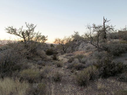 This stretch of the old Ivanpah railway bed is really returning to nature
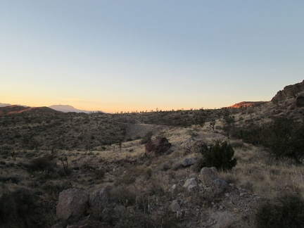 Sunset approaches as I hike the old railway bed toward Bathtub Spring
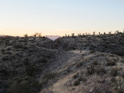 I'll hike through this one last blasted slot through the rock before reaching the Bathtub Spring area
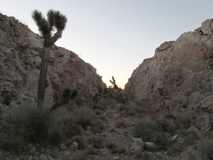 Imagine a train passing through here 100 years ago!
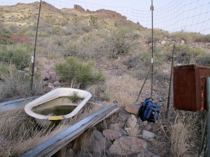 I arrive at Bathtub Spring shortly after sunset and finally figure out how to get through the fence that protects the spring
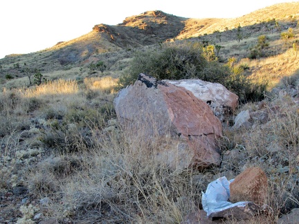 Oh, another stray balloon, but this one is different!
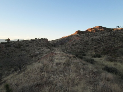 I hike the 1.5-mile-long stretch of the old Ivanpah railway grade northbound to the Bathtub Spring area
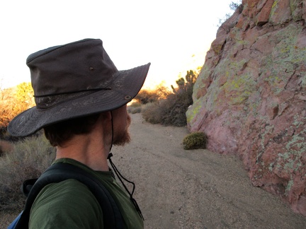 Just before arriving at Ivanpah Road, I walk past a low rock wall with lichen growing on it
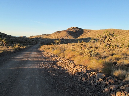 The wash I've been following arrives at Ivanpah Road, so I cross it, and begin hiking the old railway grade
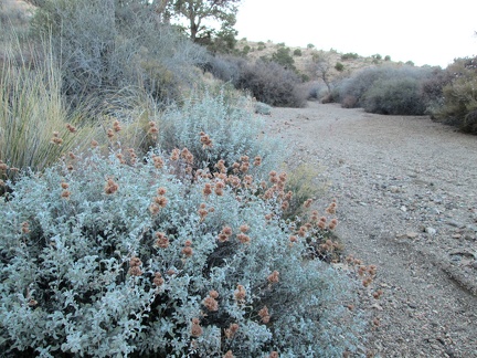 Salvia dorrii: I thought I detected the distinctive smell of desert sage earlier, and here's some
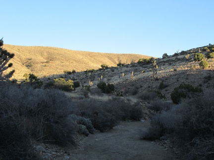 I encounter no other human footprints as I hike down this wash toward Ivanpah Road (and I haven't seen any other humans today)
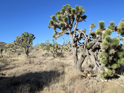 I hike cross-country a while across rolling Joshua-tree-and-juniper forest in the Trio Mine area
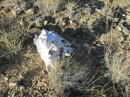 Hmmm, a skull
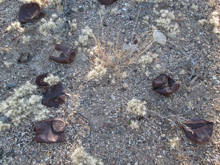 Old rusty cans: That means I've arrived in the area of a former settlement!
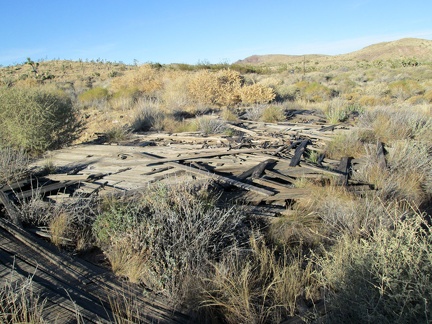 I wonder if this collapsed structure was once a house
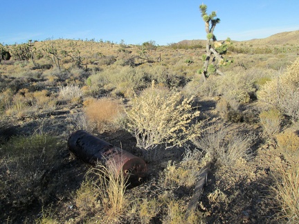 Ah, there's an old-style water heater
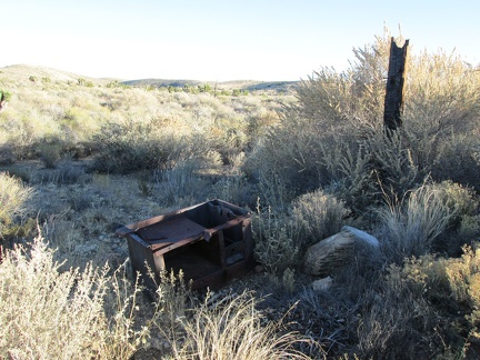 And there's the old stove...
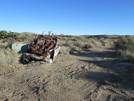 Once in a while, one stumbles across old abandoned vehicles in remote desert locations, like this one
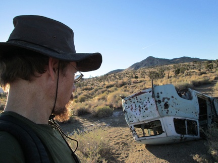 Not sure what model of old car this is; it's van-like
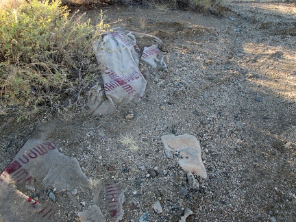 Merle Norman: I take a look at the partially buried carpet waste nearby
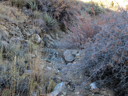 My short hike up the invisible road ends and I begin hiking down a gently sloping wash toward Ivanpah Road
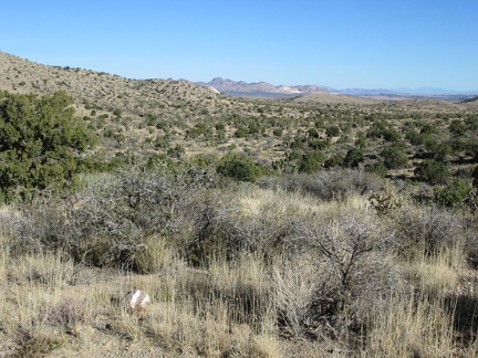 Upon leaving the Lecyr Spring area, I can see across the upper part of Lanfair Valley to the Castle Mountains
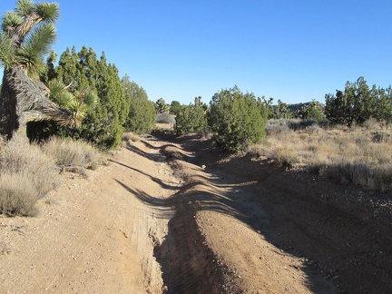 I hike down Lecyr Spring Road, which is quite eroded in places
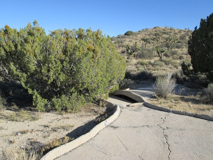 I check out this guzzler not too far away, curious as to whether it contains water or not
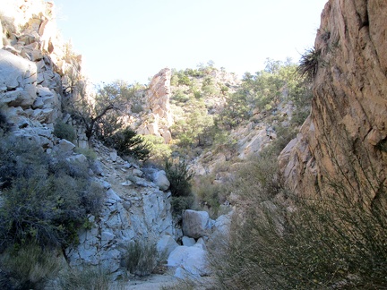 I like this canyon so far: a few more boulders to climb over ahead
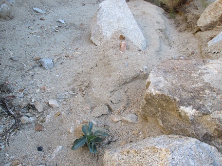 Before I start climb up the adjacent hillside, I notice what I think is a young Palmer's penstemon sprouting in the canyon floor
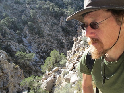 It's a short steep climb out of the canyon, but I'm not experiencing any vertigo yet, which is good!
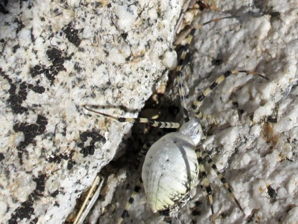 While climbing up the rocky hillside, I plow through a spider web by accident and have to brush this unusual spider off me
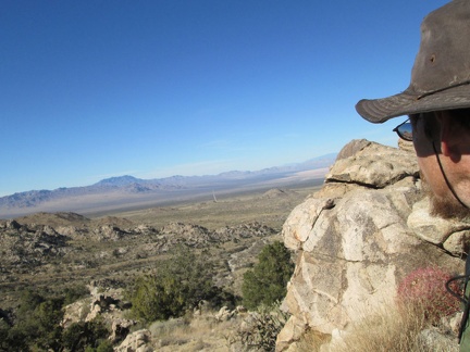 On top of this hill above the canyon, I now have a clear vista across Ivanpah Valley
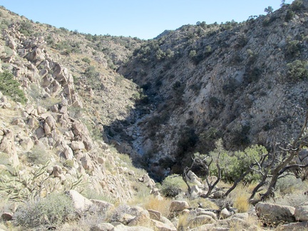 I like being up on my hill here, but there's more canyon down there for me to hike up
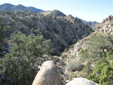 After 20 minutes of hiking near the ridge line, I still have nice views down into the canyon
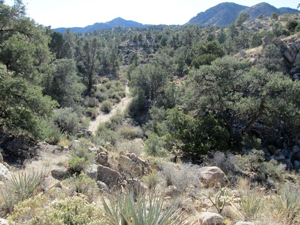 Once the canyon rises higher into a less rugged area, I decide to try continuing my hike in the canyon again
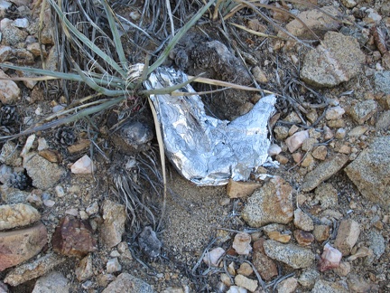 Oh, a balloon in a remote location where people never go!
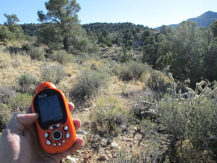 I'm now near my high point for the day (5000 feet elevation); Lecyr Spring should be not too far ahead
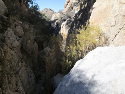 I enter the canyon, and some of it is really narrow, at least at first
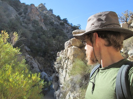 A narrow spot in the canyon, with willows growing in the canyon floor
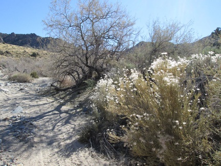 I think these old flowerheads in the wash are from last season's Cliff roses
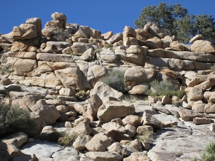 Rock piles along the wash attract my attention
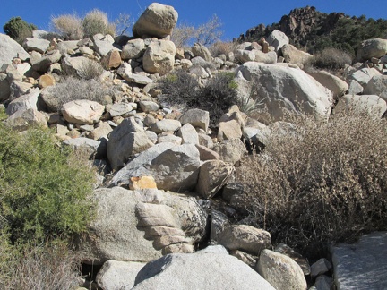 At the bottom of this pile of rocks is what I call the flat-foot rock toes
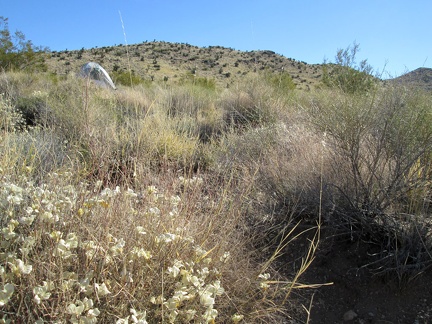 Nice, almost warm morning near Slaughterhouse Spring; I wake up baking in my tent around 8h30
 My first stop of the day is to see see what's at Slaughterhouse Spring