Home 7119

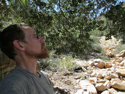 I sit under the big oak tree at the spring for a few minutes to enjoy the shade
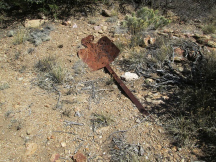 Presumably, this rusty, old sign used to deliver a message of some kind
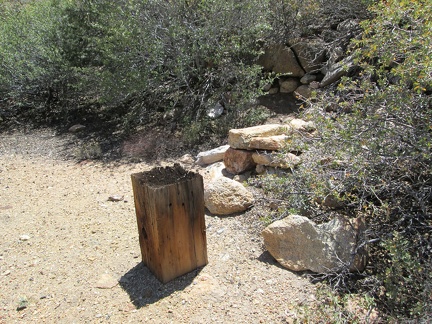 This wood block looks like it was used as a base for pounding things
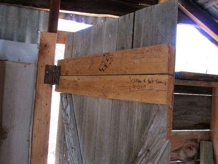 A couple of signatures adorn the inside of the door
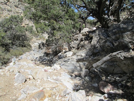 Time to head back down to Keystone Canyon; next stop Keystone Spring
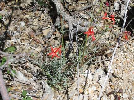 A few little red flowers catch my eye as I walk quickly down the canyon: probably Scarlet gilia
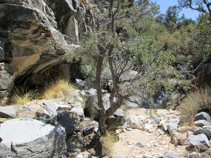 This is a great little canyon, full of rocks and trees, completely quiet and remote
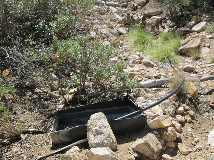 I think I've found it: Bronze Mine Spring
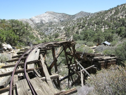 Rails once ferried a tram to the the top of the chute
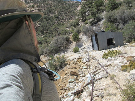 Looking in the opposite direction, the tram track leads from a storage building
 As I walk around, looking for the spring, I come across a pile of acorns
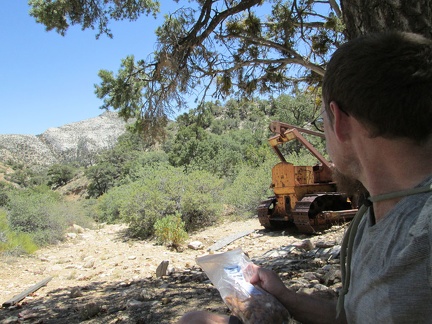 OK, now I take a break under the shade of a big old pine tree and eat some almonds
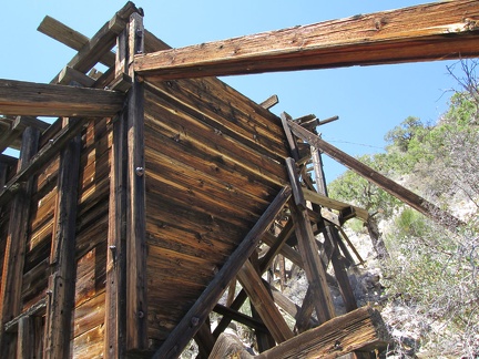 Slightly refreshed from my break, I go for a walk around the site and note a fairly intact old chute
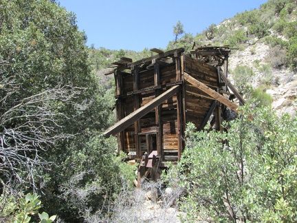 Timbers prop up the old chute
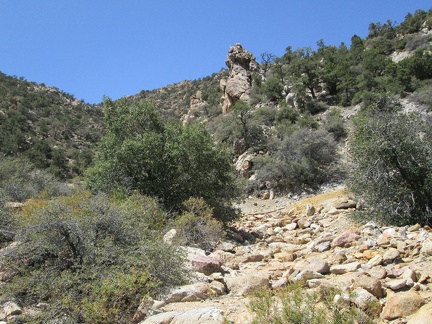 I go for a walk to see what the chute looks like from above
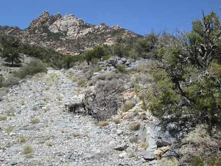 I keep hiking up the old road into the New York Mountains, looking forward to seeing the old mine site ahead
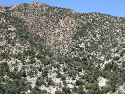 Ah, now I can see some old mining remains in the distance
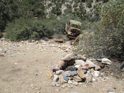 The road ends and I find a fire ring that hasn't been used for a while, and an abandoned truck
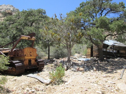 I wasn't expecting to find anything at this site except for perhaps some old mining debris
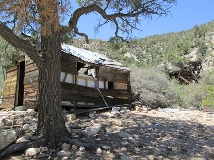 I'm overheating and need a break, but I can't resist the urge to take a peek inside first
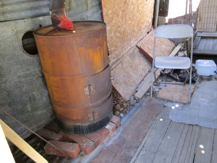 A stove and a broom
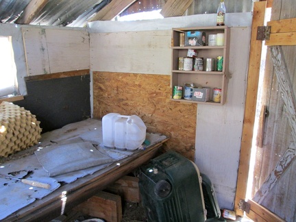 A platform for sleeping and a shelf for food
 Here and there in Keystone Canyon, I've been seeing the occasional red penstemon flower for hummingbirds
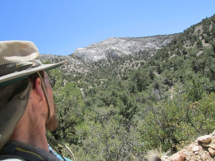 After a few minutes, I'm already high enough to have a view across to the other side of Keystone Canyon
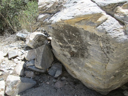 Striped boulder in lower Keystone Canyon, Mojave National Preserve
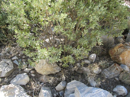 Here is some kind of manzanita bush growing in Keystone Canyon, New York Mountains
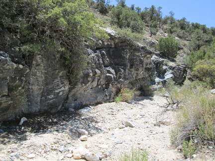 Rock wall in Keystone Canyon
 Time to hike uphill and gain a few hundred feet of elevation on another old road
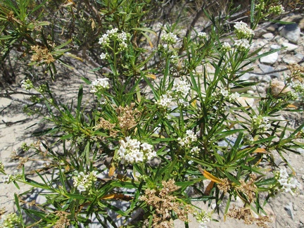 This small shrub in Keystone Canyon reminds me of Yerba Santa (Eriodictyon californicum)
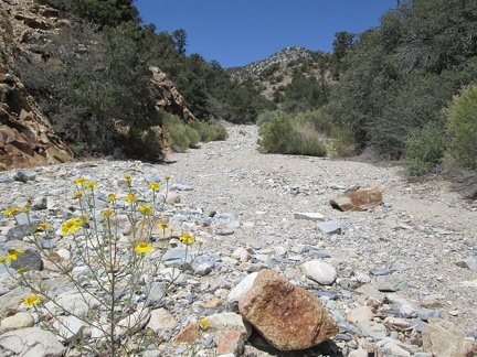 A few yellow flowers bloom in the gravel of Keystone Canyon (probably Groundsel, aka Senecio)
 Back on my feet after my break, partially rejuvenated, I start hiking up Keystone Canyon
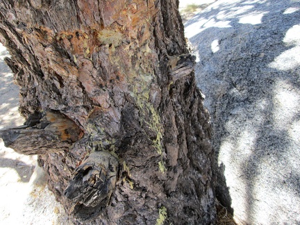 I look at sap on the bark of the pinon pine at my former Keystone Canyon campsite while drinking water and eating almonds
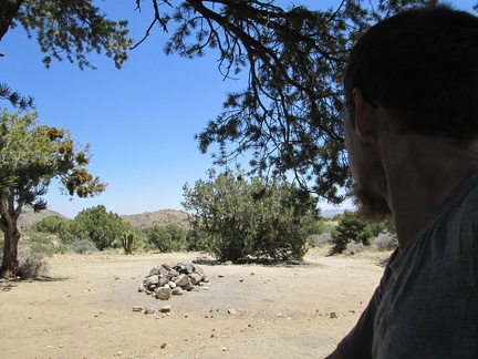 I luxuriate briefly in the shade of a big pinon pine at a campsite in Keystone Canyon where I've camped before
 I take a look back at the tent down there as I get going on today's hike to Keystone Spring; hot sun, slight hot breeze
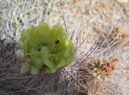 I've missed most of this spring's flower blooms, but there are still occasional cactus blossoms
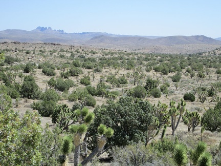 Hiking cross-country here in the New York Mountains foothills provides views across to the Castle Peaks
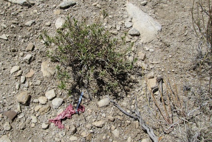 I haven't seen any people yet today, but I have found signs of people: a balloon
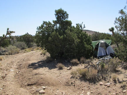 By 9h, it's too hot in the tent, and I have no choice but to get up and start today's hike to Keystone Spring
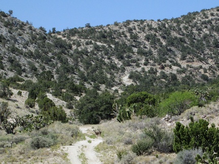 The first stop on today's hike is nearby Mail Spring; a pair of deer stare at me as I approach
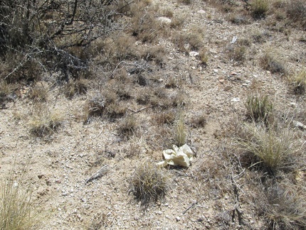 Hmmm... a rubber glove near Mail Spring
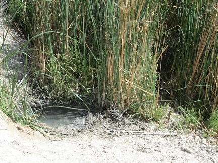 Well, here's how much water remains at Mail Spring in late spring 2012
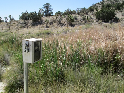 There's a wildlife camera here at Mail Spring; I wonder if my photo has been taken
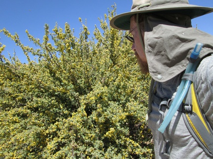 Several large mahonia (berberis) bushes at Mail Spring are covered with thousands of yellow flowers
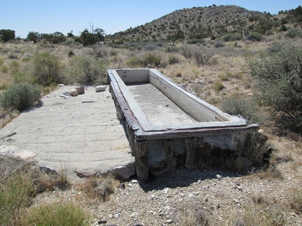 This old cistern at Mail Spring was probably frequented by cattle back when this was still grazing land
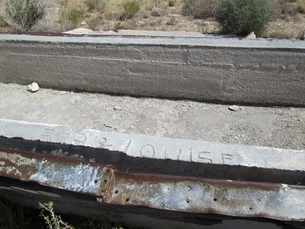 An inscription in the concrete at the Mail Spring cistern reads 'Bob + Louise'
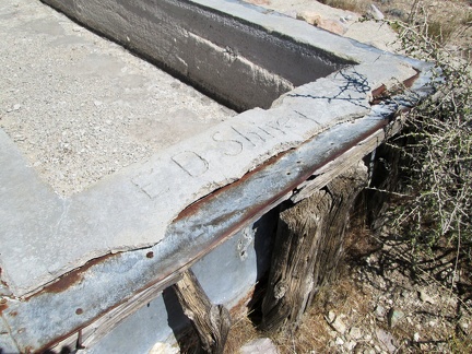 Another inscription in the concrete at the Mail Spring cistern reads 'Ed Shirey'
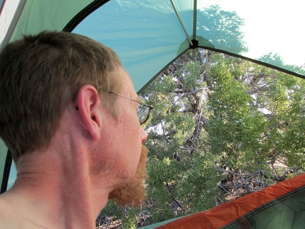 I wake up in the Mail Spring area of Mojave National Preserve and realize I'm still alive after yesterday's hot bicycle ride
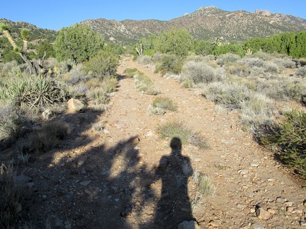 I'm tired and not feeling refreshed, but the New York Mountains up the road from my tent look good in the early morning sun
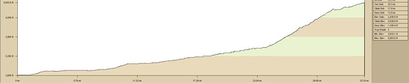 Mojave National Preserve: Primm, Nevada to Mail Spring, 3000 feet of elevation gain
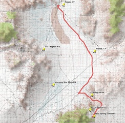 Mojave National Preserve: Primm, Nevada to Mail Spring, 3000 feet of elevation gain
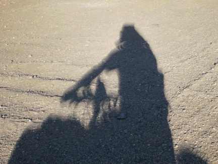 Close-up of my fuzzy shadows caused by the eclipse
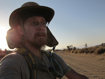 A few years ago (2008), my overloaded bike rack broke while riding on the washboarded road here on Ivanpah Road
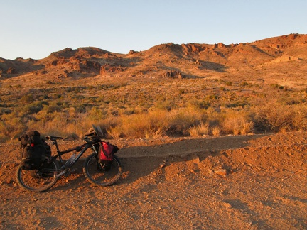 As the sun goes down on Ivanpah Road, I pull over to look at the Bathtub Spring Peaks area where I hiked last year
 The sunset light on upper Ivanpah Road is incredible; tired, I'm walking the bike sometimes, enjoying the colours
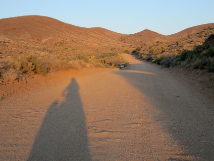 Finally, I've reached the flatter, upper part of Ivanpah Road, still with blurry shadows due to the eclipse
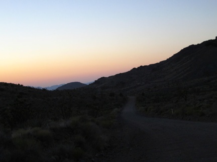 The sun goes down behind me with a nice belt-of-Venus over Ivanpah Valley below as I continue riding up Ivanpah Road
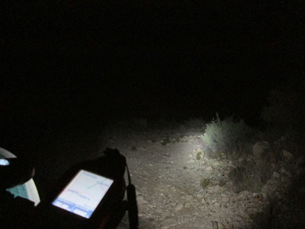 Well after dark, I find a nice campsite along a road near Mail Spring, Mojave National Preserve, and set up for a couple of days
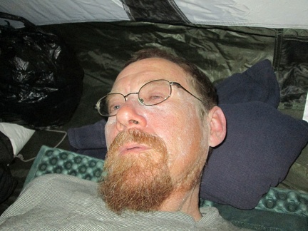 I set up the tent and lay down, too tired to boil water for an instant meal tonight (I just eat a lot of roasted almonds)
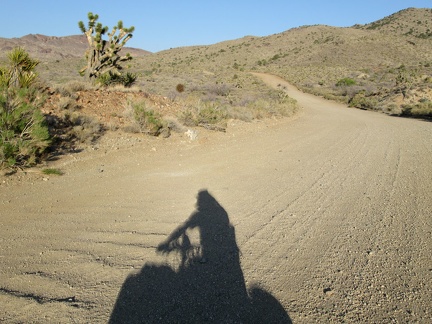 As I ride (and sometimes walk) the 10-ton bike up Ivanpah Road, I notice the light somehow seems a bit weird
 Scape sunscreen: I feel like a chemical test site: it's bubbling and foaming in the extreme heat (high 90s F), how weird
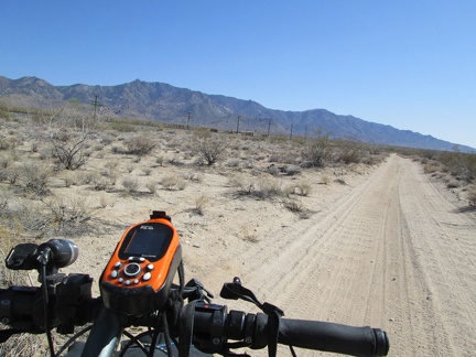 Just ahead on the other side of the tracks is the old Ivanpah store, which means this segment of today's ride is ending
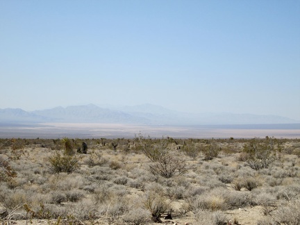 Here in the Ivanpah area, I'm at about 3500 feet elevation, about 1000 feet above where I started down at Primm
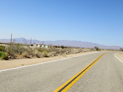 I'm back on pavement for a couple of miles and ride past the former Ivanpah store on Ivanpah Road
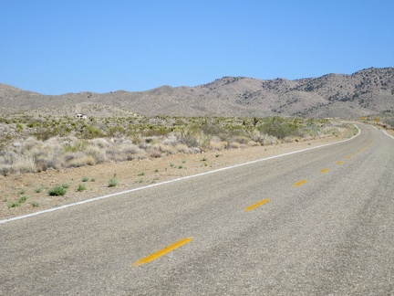 Ivanpah Rd slowly climbs toward a pass in the New York Mountains: I look for another place to escape the sun for a few minutes
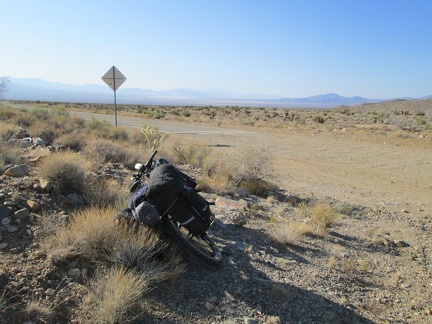 I pull over for a heat-exhaustion break where the pavement ends on Ivanpah Road
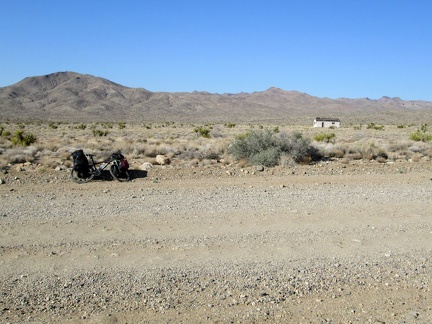 Hmm, there will surely be some shade over by that old building over there that was probably part of the Goldome Mine complex
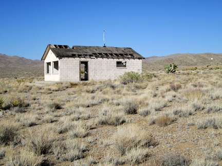 I'm hungry for shade right now, so I approach the old building as if it were a piece of food
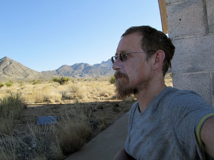 I take refuge from the hot sun on the shady side of the abandoned cinder-block building that I've been eyeing
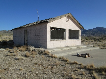 Someone has set up a fire ring in front of the old building
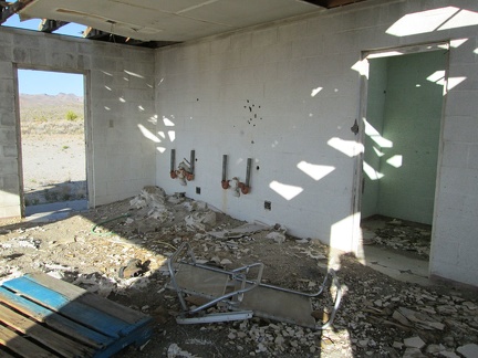 Perhaps this old building once served as a kitchen or showers for the adjacent Goldome mine
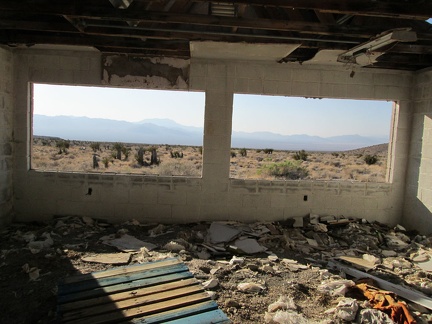 Large window openings open onto big views of the Ivanpah Mountains and the Clark Mountains in the distance
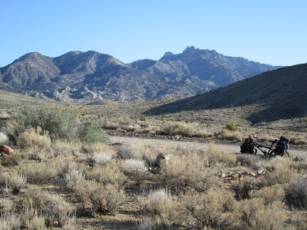 Somewhat rejuvenated from my break in the shade, I return to the 10-ton bike to continue the ride (or walk) up Ivanpah Road
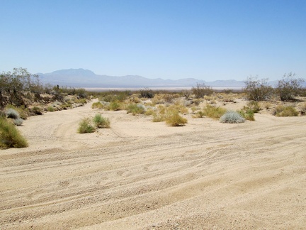 This short stretch of Nipton-Moore Road is extremely sandy where it crosses a wash near the power lines
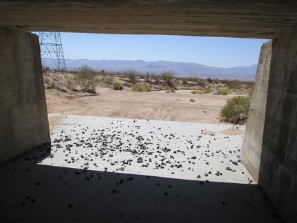 I hide under the train tracks for a few minutes to get out of the hot sun
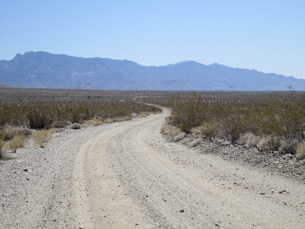 Back on the road, I pedal onward, slowly, toward the New York Mountains
 I pass by a road leading down into the Ivanpah Valley toward private property
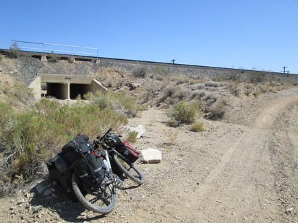 Ooo, another railway undercrossing along Nipton-Moore Road; I think I should stop here for a moment to check it out
 I'm happy when I get past Desert siding, cross under the tracks, and reach some old pavement
 A few Coyote-melon vines extend out into the road along Nipton-Desert Road
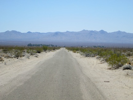 That patch of buildings ahead is Nipton; I'll take a break there in a few minutes
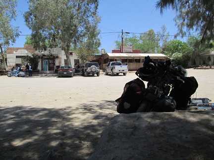 Nipton, California, population 20; I take a half-hour break here
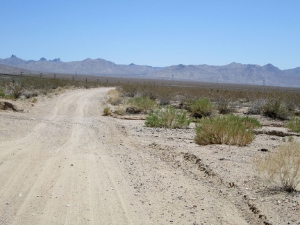 After my break at Nipton, I return to the dirt road parallel to the train tracks for the next 10-mile segment
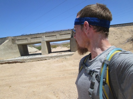 2.5 miles beyond Nipton, I'm feeling hot again and notice some potential shade as I cross under the power lines
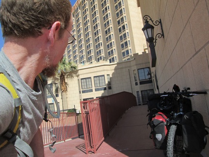 Sunscreen on, and the 10-ton bike packed up, I pull away from the hotel at Primm
 After my coffee and water stop at the gas station (I don't need gas), I leave pavement and ride down this dirt road out of Primm
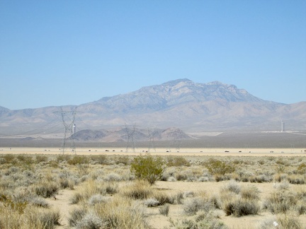 It's nice to see the I-15 freeway and its traffic getting smaller as I ride down the dirt road away from Primm
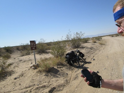 I reach the main dirt road from Primm to Nipton, often called Nipton-Desert Road, and note that I'm 10.5 miles from my next stop
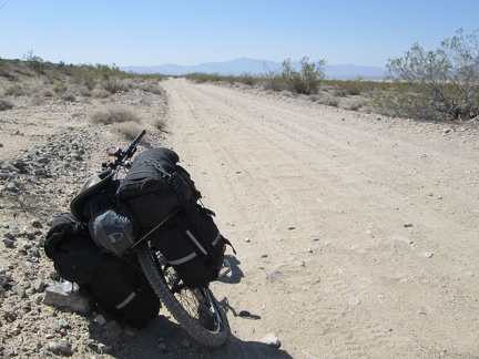 I've got about 7 miles of bumpy dirt road to ride on the way to Nipton (the last 3 are old pavement)
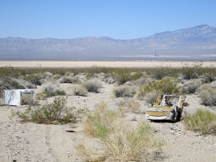 I pass a few old household items dumped along Nipton-Desert Road
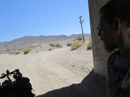 After almost an hour and a half in the heat, I'm already getting hot, and grab some shade under the railway tracks
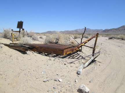 While taking my shade break under the train tracks, I notice a washed-out cattleguard on the old road to the Lucy Gray Mine area
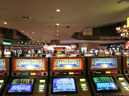 I spent last night at Whiskey Pete's Casino Hotel in Primm, NV and I'm more than ready to get going this morning
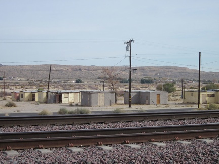 Tomorrow morning, I look across the train tracks at Barstow Station toward old cabins while waiting for my Amtrak bus
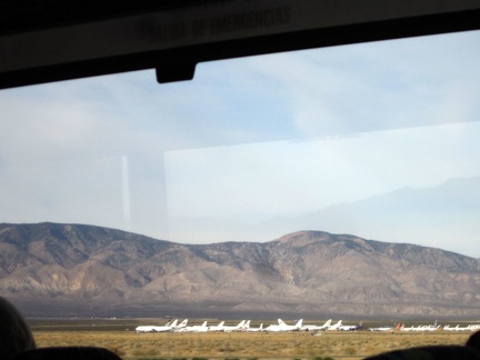 I'm always intrigued by the airplane graveyard here at Mojave, CA when the Amtrak bus drives by
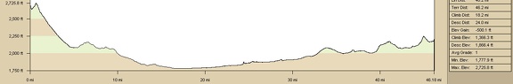 Bicycle route elevation from Cady Mountains to Barstow via Route 66
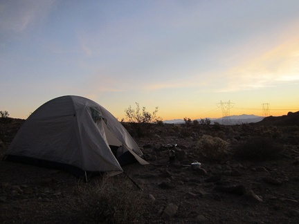 I'm awake somewhat early this morning since I have the 45-mile ride back to Barstow today and I might have a big headwind
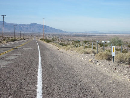 This stretch of old Route 66, heading into Newberry Springs, parallels the I-40 freeway, clearly visible to my right
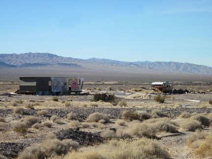 A number of old trailers dot the outskirts of Newberry Springs along old Route 66
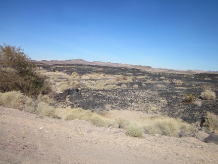 I pass a lava field along old Route 66 east of Newberry Springs
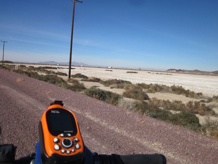 Near the lava field east of Newberry Springs is the end of Troy Dry Lake
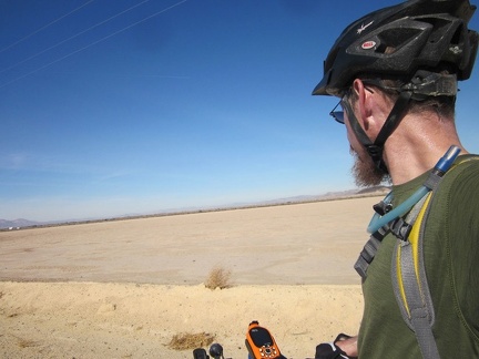 I take a very short break along the shores of Troy Dry Lake to enjoy the Mojave Desert scenery
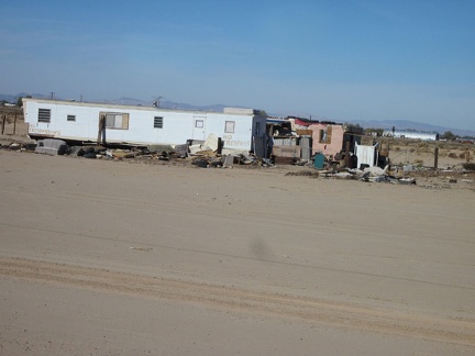 I pass another collection of old mobile homes along Route 66 east of Newberry Springs
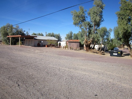 I enjoy looking at this well-kept property in Newberry Springs when I pass by; perhaps a former gas station
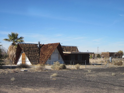 Also in Newberry Springs is this abandoned A-frame building with a roof of wood shingles
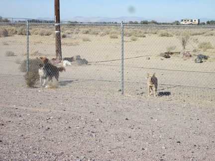 A playful, and perhaps vicious, group of dogs protect a former gas-station/restaurant property in Newberry Springs
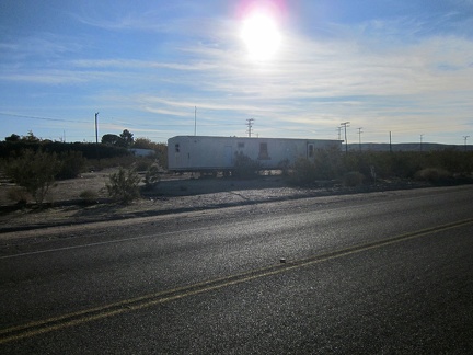 Another old Route 66 mobile home
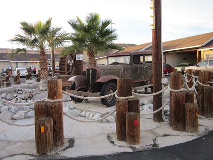 I arrive at the Route 66 Motel in Barstow and its collection of old cars 'n' such, and check in for another night
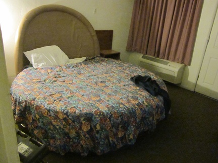 I love the quirky old round beds at the Route 66 Motel in Barstow
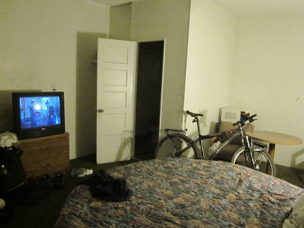 Junk plays on TV at my room at the Route 66 Motel in Barstow
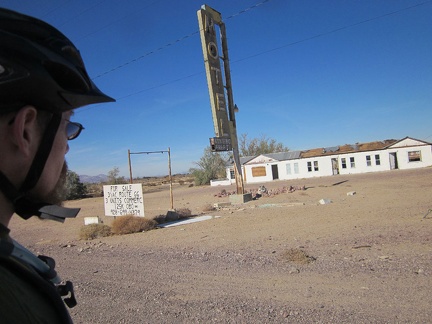 Next-door to the Bagdad Café is the old Henning Motel, with its metal roof being stripped by vandals
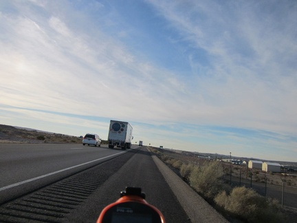 I ride the 2.5-mile segment of the I-40 freeway where bicycles are allowed, since there is no practical alternate route
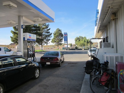 Fast-food break! Subway restaurant at the Newberry Springs gas station at the I-40 freeway
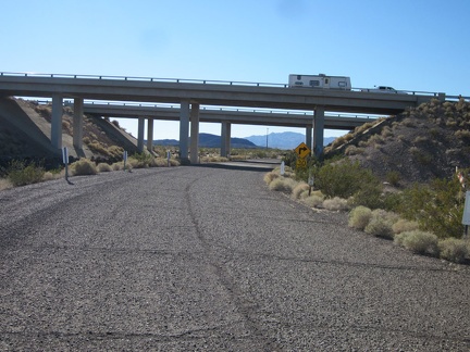 A short paved section of road passes under the I-40 freeway and connects me to old Route 66
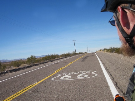 Back on old Route 66! Only another 40 miles or so until I reach Barstow, my destination for the day
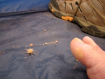 As I eat a quick dry breakfast and get ready to pack up, I notice a thorny cholla piece that I tracked into my tent
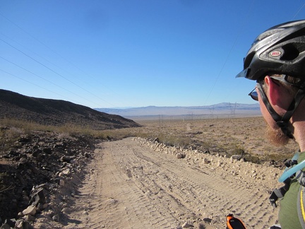 The tent and all is packed up and I start riding the powerline road back down to old Route 66
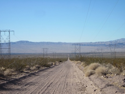 The Cady Mountains powerline road cuts a straight line across this part of the Mojave Desert
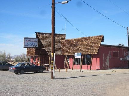 I pass the Bagdad Café in Newberry Springs, famous for its appearance in the movie of the same name
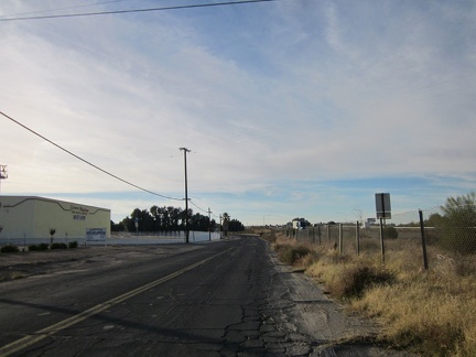 After I get off the freeway, I have another two miles to ride on a frontage road into Barstow, parallel to the I-40 freeway
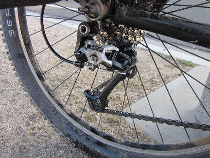 I'm having problems switching gears in Barstow, so I pull over to take a closer look
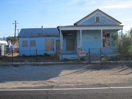 After another 10 lonely miles riding old Route 66, I arrive at the village of Daggett and ride down some of the side streets
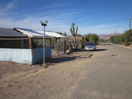 I ride up a quiet residential street in the village of Daggett
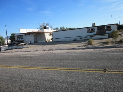 I still wonder about this former gas station fashioned into Mugwumps printing business at some point; I've noticed it before
 Abandoned something in Daggett, California
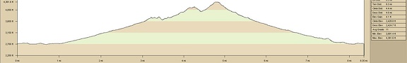 Cady Mountains hike elevation profile
 And there it is, home for one last night on this trip, my tent
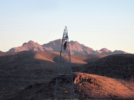 The last light of the day in the Cady Mountains shines on the power lines, with the Sleeping Beauty peaks in the background
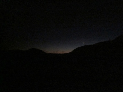 Just after sunset, my cheap pocket Canon camera picks up the final glow of the day, and a crescent moon
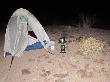 It wasn't an especially strenuous hike today, but I'm hungry, and boil water for my instant evening meal
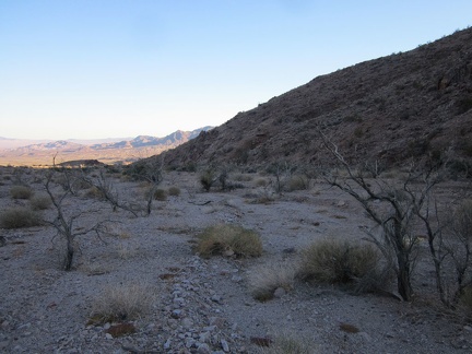 Many of the Smoke trees in the lower part of this Cady Mountains canyon look a bit dead (just dormant in the cold season?)
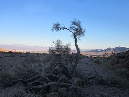 Despite the many dead or dormant Smoke trees in the area, here's one with a bit of foliage
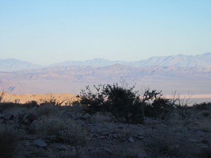 I contemplate the views across Broadwell Dry Lake to the Bristol Mountains, past Hyten Spring, where I hiked a few days ago
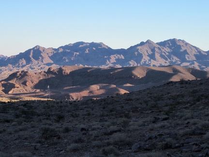 I hike cross-country in the Cady Mountains foothills one final mile to get back to my tent, avoiding the powerline road nearby
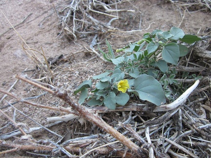 Hmmm... here's a little yellow flower that I'm not familiar with
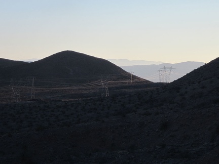 The power lines crossing the pass in the Cady Mountains pick up the end-of-day sunlight quite sculpturally
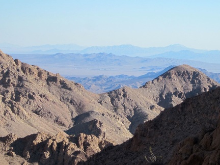 On my way down, I notice a solid way up the next hill, so up I go to reach my high point of the day in the Cady Mountains
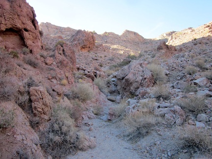 I'm already in the shade while climbing up this Cady Mountains hill after 14h in late November
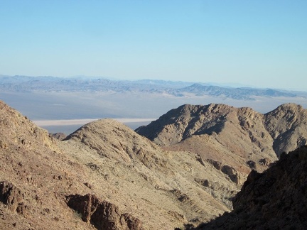 Now I'm really above Broadwell Dry Lake!
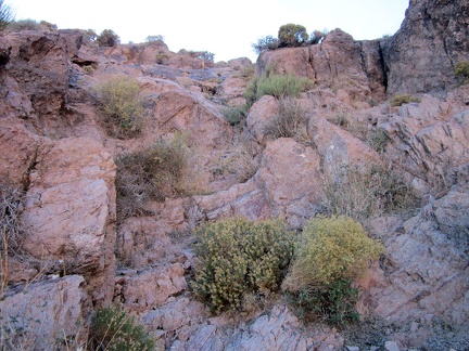 I climb up the rock staircase to another Cady Mountains summit of sorts
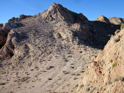 Awesome views everywhere; I decide to be content with my Cady Mountains summit of 4350 feet here today
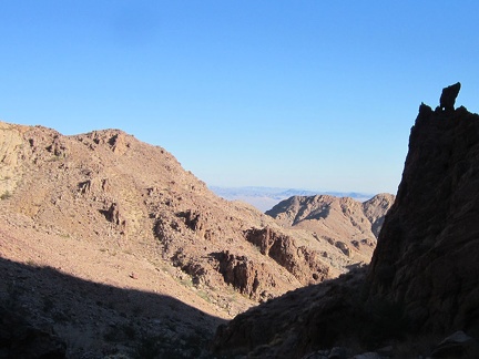 On the way back down the Cady Mountains, I notice a tiny hole in a shaded rock outcrop at my upper left
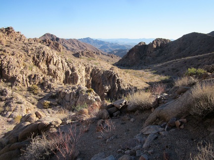 I head back down from my Cady Mountains summit
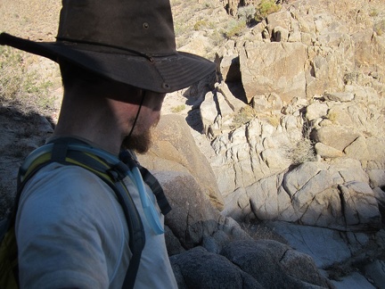 A few steps down that rock pile I climbed up earlier on the way up into the Cady Mountains
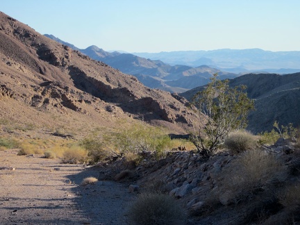 As I head down the wide canyon in the Cady Mountains that I hiked up, I realize I gained more elevation here than I thought
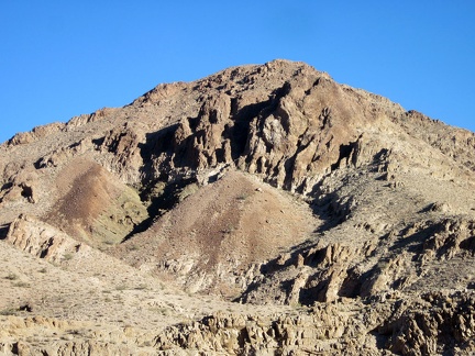 I pass an interesting "gravelslide" on the way back down my Cady Mountains canyon
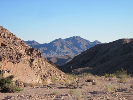 Nice blue shadows are being cast in the Sleeping Beauty peaks area as I hike down my Cady Mountains canyon
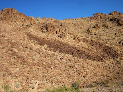 I wonder about this U-shaped deposit of rock in the Cady Mountains as I walk past it
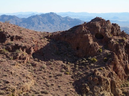 I spot a larger cave in the Cady Mountains next to the smaller one I saw earlier, on my way up the saddle
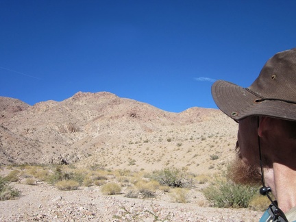 I return to the main canyon, looking for a better route up, and head straight toward the Cady Mountain peaks and a rock outcrop
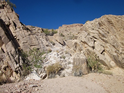 Great, the rocks look like a really easy step up to the next level of this Cady Mountains canyon
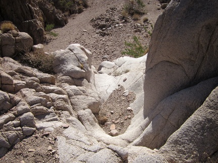 A few steps up...
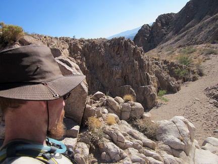 I take a quick look back down beyond the rock pile I just climbed up
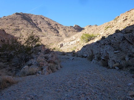 Above the little dry waterfall is easy walking on gravel below the Cady Mountains peaks
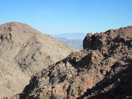 This climb right here is short and steep, but fairly easy, with mostly good footing
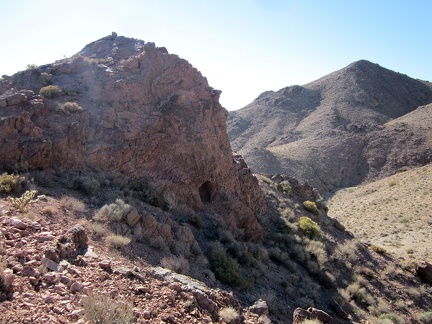 Arriving at a saddle in the Cady Mountains, I notice a little cave
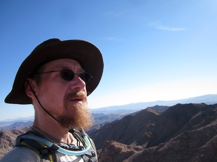 I feel like I'm on top of the world as I arrive at a local summit in the Cady Mountains
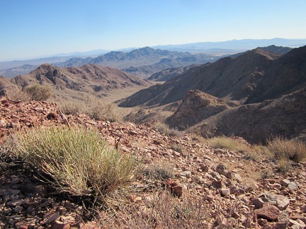 I take a nice water-and-energy-bar break up here on my Cady Mountains summit to enjoy the views
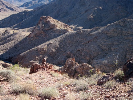 I slowly climb back down the Cady Mountains gulley that I just came up
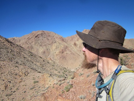 Cady Peak, behind my hat, is not all that far away, but I'm not really on the route up to the peak
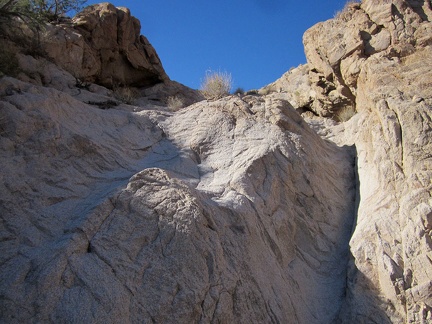 I climb a short distance up and around this dry waterfall, but decide it's more slippery than I was hoping for
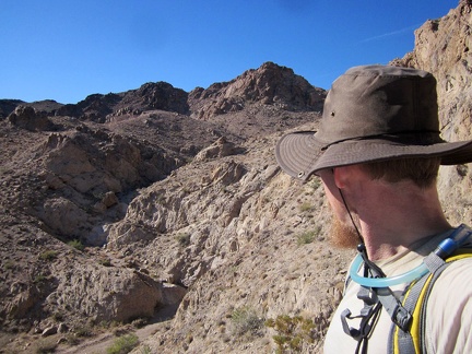 This adjacent hill has good views of the hill I just climbed, but it too is quite slippery
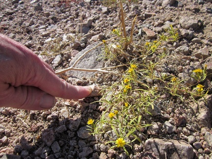 I notice several "Chinch weeds," if that's what they are, as I walk across the alluvial fan
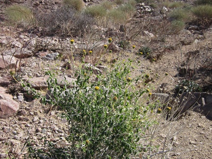 I've seen Brittlebrush a few times on this trip
 Big ant hill at the mouth of my chosen canyon in the Cady Mountains with a nice view of Broadwell Dry Lake
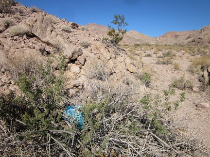 As I hike up the canyon into the Cady Mountains, I come across a balloon stuck in the brush
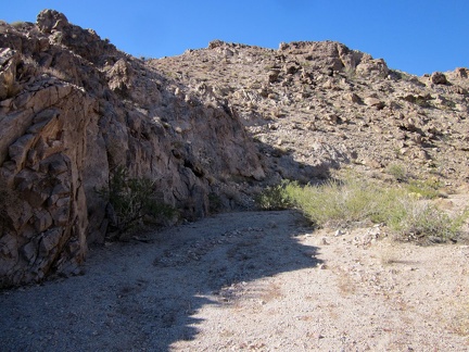 I keep walking up the Cady Mountain canyon, looking for possible easy routes up into the rocky hills
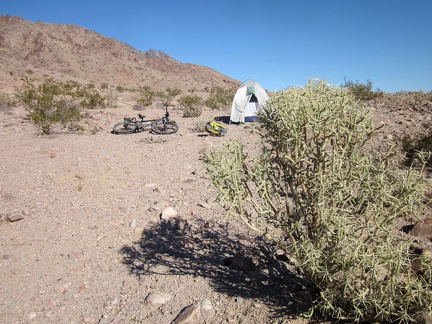 Another beautiful morning, hot sun, cool air, and I'm ready for the last hike on this trip, into the Cady Mountains behind me
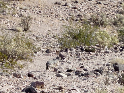 I start walking up and down across the rocky fan and pass one of several jackrabbits that I'll see today
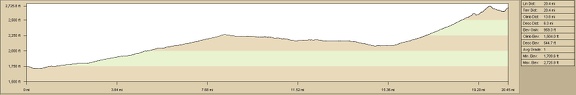 Ludlow to Cady Mountains bicycle ride, elevation profile
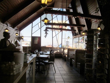 The morning after Thanksgiving, Ludlow Café is almost deserted, which is unusual
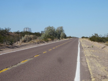 Crap! I have the dreaded headwind while riding westward out of Ludlow alongside the I-40 freeway
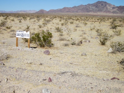 I take note of a makeshift land-for-sale sign while riding past Sleeping Beauty
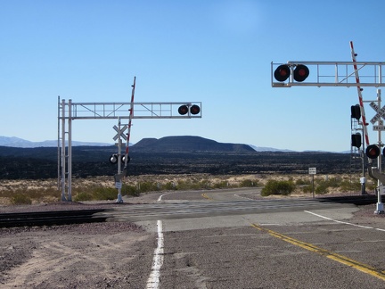 Here's one of those photos that I have to take each time I pass by here: Route 66 crosses the train tracks at Pisgah siding
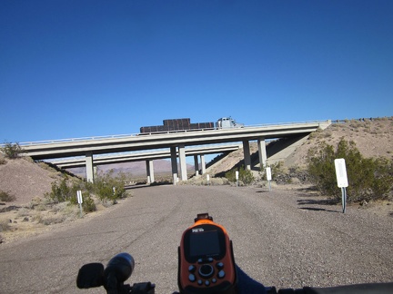 5 miles later, it's time to cross I-40 again, this time by crossing under it
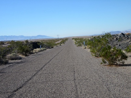 This short worn-out paved road (perhaps once a part of Old Route 66?) has a gouge down the middle where the yellow line would be
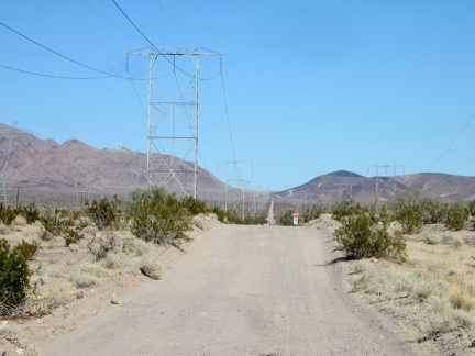 OK, the pavement has departed, and I'm headed up into the Cady Mountains on dirt and gravel
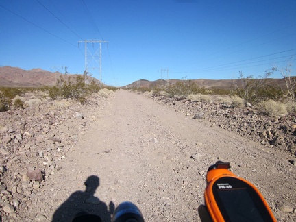 More loose rock along the road as I slowly rise and enter the Cady Mountains
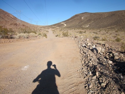 As hoped, the road surface is firmer as I get higher into the Cady Mountains
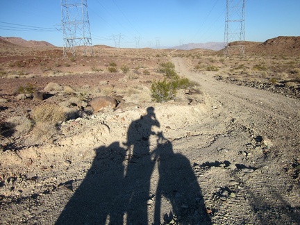 As I ride though Cady Mountains pass, I start looking more seriously for a campsite for the next two nights
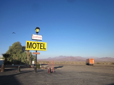 Morning at the Ludlow Motel is nice and quiet; I walk over to The Café next-door for a home-cooked breakfast
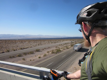 Old Route 66 crosses over the I-40 freeway
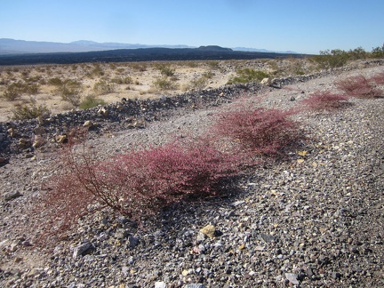 As I approach the Pisgah Crater area along Old Route 66, I take note of the many pink plants growing on the shoulder
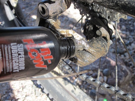 My gears are acting up still, so I pour more lubricant onto them
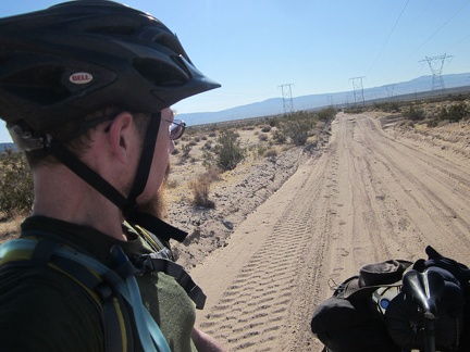 I pause on the way up the gentle hill leading into the Cady Mountains to look back on the sandy road
 I check out the side roads as I ride through Cady Mountains pass and find a great campsite for two nights, before sunset even
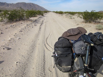 It gets slippery here and there on Crucero Road due to powdery surface sand
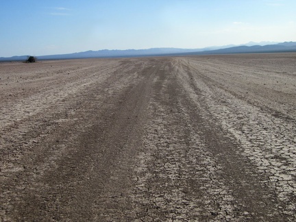 Wheee, here we go riding straight ahead the 4.5-mile length of Broadwell Dry Lake!
 I take a break out in the middle of Broadwell Dry Lake to walk around and enjoy the expanse without the noise of my bicycle
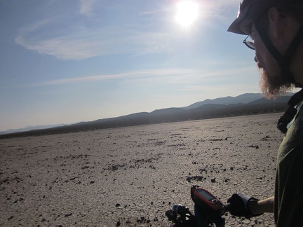 On the south end of Broadwell Dry Lake are scattered many small rocks which look like they may be volcanic in origin
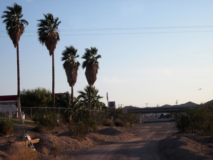 The dirt of Crucero Road comes to an end as I reach pavement at Ludlow and the I-40 freeway
 I've arrived early enough to have supper at the Ludlow Café.
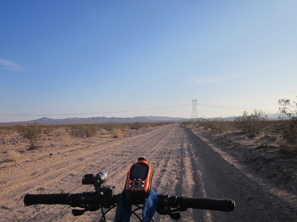 After Broadwell Dry Lake, I crawl up Crucero Road toward Ludlow, which is about 2 miles beyond the transmission tower
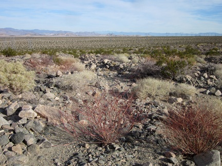 I turn for a look across Crucero Valley as I stumble across the rocky landscape
 And here's one of those Goldfields-like flowers of which I saw several while hiking Sleeping Beauty a couple of days ago
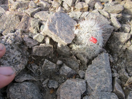 I think this is a little Claret-cup cactus sprouting an early blossom
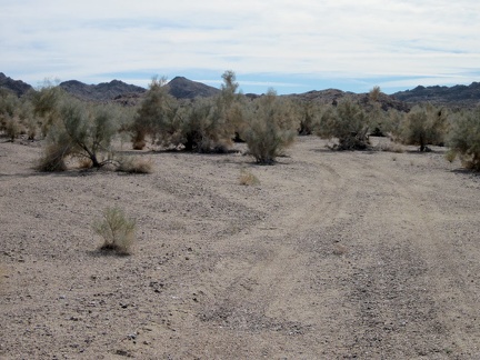 I pass through a forest of Smoke trees on the way up Hyten Spring Wash
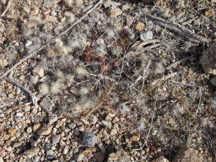 It's easy to miss little piles of cactus droppings like these as you walk over them in the Mojave Desert
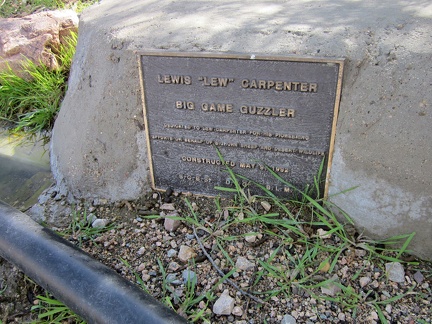 The Lewis (Lew) Carpenter Guzzler, Kelso Dunes Wilderness
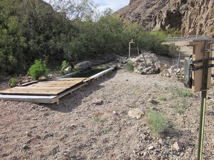 I follow the tire tracks a short distance off my Hyten Spring hiking route and find that they end at a guzzler
 I pass a deflated barrel cactus in Hyten Spring Wash that lost its footing on the steep adjacent hillside