Home / Mojave Preserve and Desert bikepacking trips / 2008: Bikepacking in Henry Coe State Park / Day 8: China Hole, Henry Coe State Park, to home in downtown San José by bicycle, via Coyote Creek Trail 21
The swelling on the bottom of my foot makes hiking the bike for a few miles up out of the canyon at China Hole really awkward, but I limp along and enjoy the ride back down to Silicon Valley afterward. 43.7 bicycle miles.
Fortunately, no big Henry Coe brush fire has started this morning while I hike and bike up Manzanita Point Road toward headquarters, which is what happened while I was leaving the Park on this same route at the end of last year's trip.

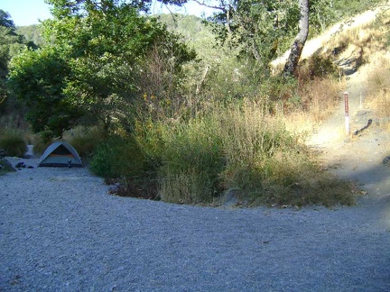 Morning at China Hole: too many flies buzzing around to enjoy morning here, so I try to pack up as quickly as possible and leave
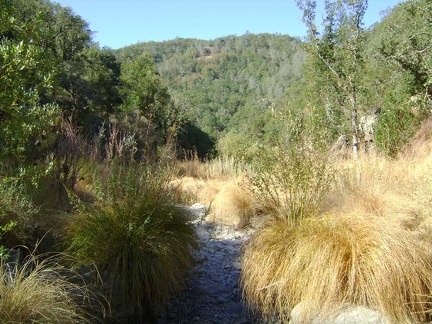 View down the canyon behind my tent site at China Hole, Henry Coe State Park
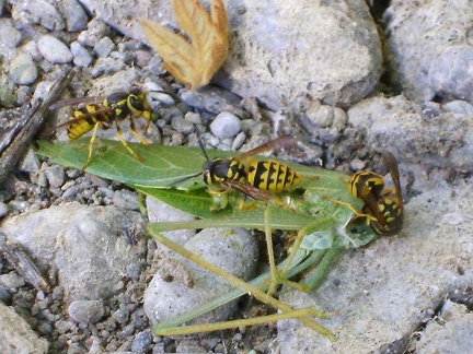 A few yellowjackets are still buzzing around the ground near my tent, feeding on this "leaf"
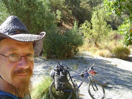 I finally get the 10-ton bike packed up and snap one last photo before departing China Hole
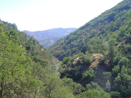 I start limping up China Hole Trail with the 10-ton bike
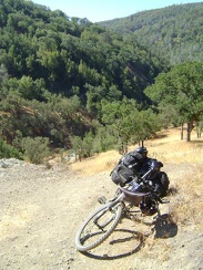 I come around a switchback and can see back down to China Hole below
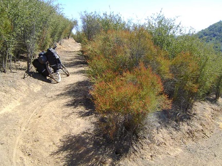 I bend around a switchback in another of my favourite stretches of China Hole Trail as I limp along upward
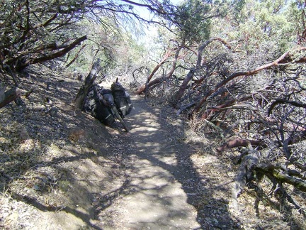 China Hole Trail passes briefly through a stand of manzanitas
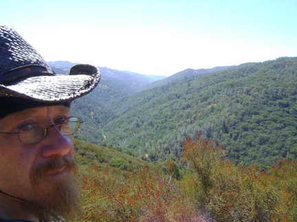 Rising higher on China Hole Trail, I still have some grandiose views down into the Coyote Creek canyon below
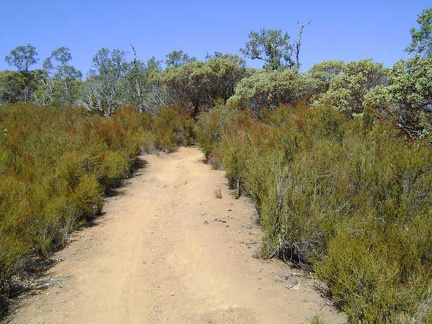 China Hole Trail passes through a lot of chamise again before entering another manzanita-dominated area
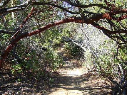 Now I pass through my most favourite part of China Hole Trail, "the manzanita tunnel"
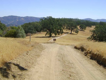 Looking back down toward the canyon across to Willow Ridge from Manzanita Point Road, about 1100 feet above China Hole
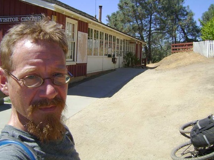 Woo hoo, I've made it back to Henry Coe Headquarters and my week spent in the Park comes to an end
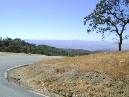 I begin the 2600-foot descent down Dunne Ave from Henry Coe State Park to Silicon Valley
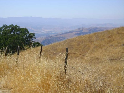 I snap a few photos on the upper part of Dunne Avenue, looking down to Silicon Valley
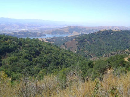 This is one of the best views from upper Dunne Avenue down to Anderson Reservoir and the town of Morgan Hill below that
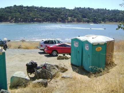 On the way down, I stop at the portable toilets at Anderson Reservoir, which is a County park
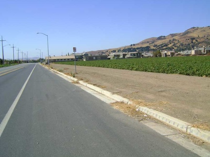 The final steep hill down to Silicon Valley is a blast and I begin the 23-mile northward ride home on the flat valley floor
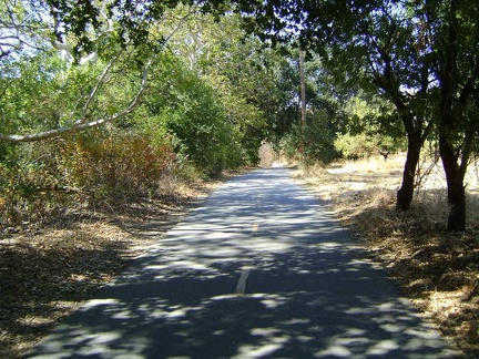 Coyote Creek Trail is my chosen route back into San José today instead of the busy, but more direct, Monterey Road
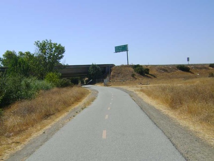 Other long sections of Coyote Creek Trail are quite hot and exposed to the sun
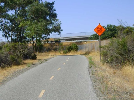 15 miles on Coyote Creek Trail, then another seven miles on nasty San José streets, and I'm home!