Home / Mojave Preserve and Desert bikepacking trips / 2007, Christmas: Mojave National Preserve Mountain-Bike Camping / Day 2: Hike beyond Indian Springs toward Cane Spring, returning cross-country via Eyeball Rock in an unnamed wash, 7-8 miles 53
With the unexpected luxury of drinking water here at Indian Springs, I'll stay an extra day and explore on foot some of the wash and lava-flow areas up toward Cane Spring. No bicycling today.
I don't have a set destination for today's hike other than heading up the wash, which makes it that much more interesting.

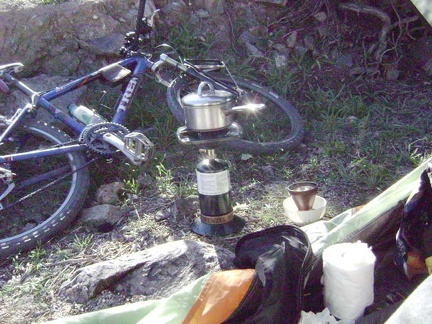 Late-morning coffee and breakfast (brunch, really). It was cold last night and I didn't sleep so well, and then I slept in late
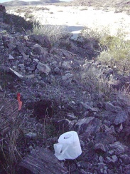 After breakfast, I dig a cat hole up on the hillside above Indian Springs Road
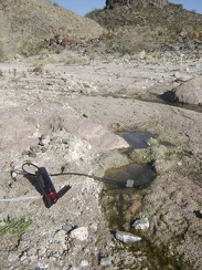 I pack a day bag and start today's hike by walking 1/4 mile up to Indian Springs to filter the day's drinking water
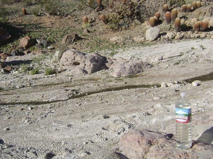 I refill my two-litre Camelbak and an empty 1.5-litre bottle with water from Indian Springs
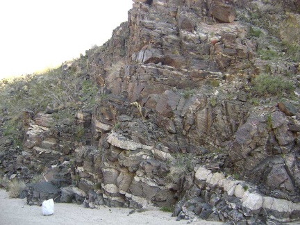 With no set destination, I start walking up the wash past Indian Springs and notice some intriguing rock layers
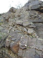 The colourful yellow lichen on these rocks is quite painterly
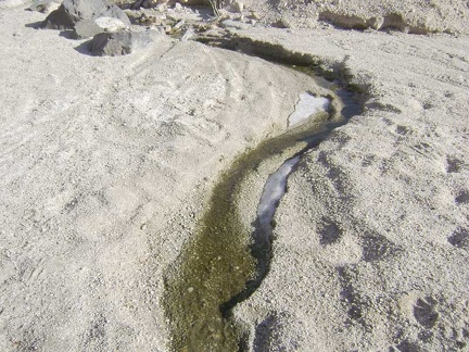 A little further up Indian Springs wash, I come across another seep and a bit of ice that today's sun hasn't reached, and melted
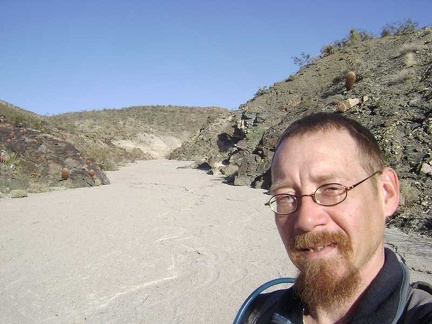 I continue up Indian Springs wash
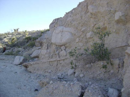 More cool rock layering effects
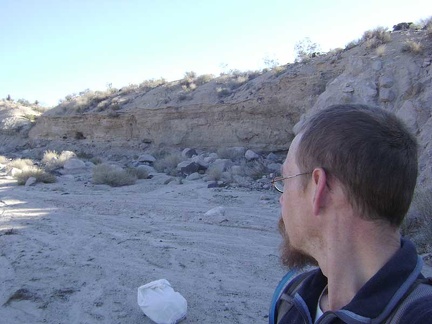 Erosion along the walls of Indian Springs wash
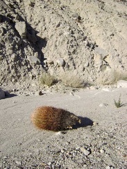 Poor little cactus!
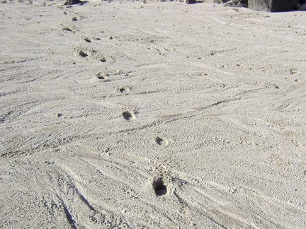 I'm seeing animal tracks all over the place
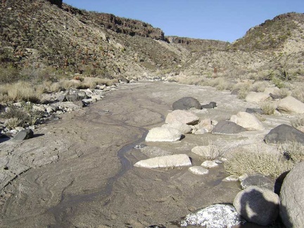 Another trickle of water
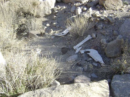 The wash forks and gets narrower, then I stumble across these bones
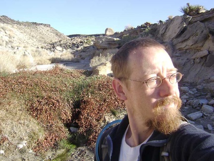 I think I'm at Cane Spring, but maybe not; Cane Spring might be over in the next wash
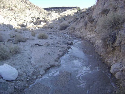 Just beyond Cane Spring, I come across more surface ice
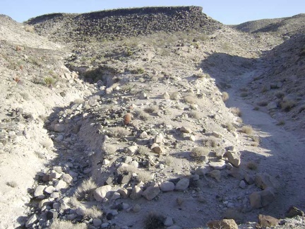 Another one of many splits in the wash
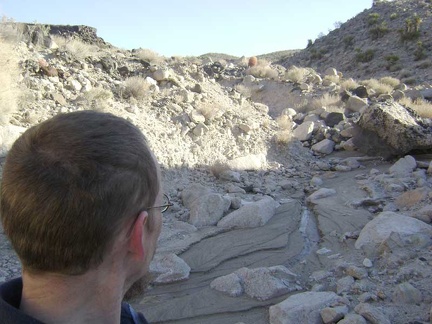 Randomly, I decide to head up the rocky right fork
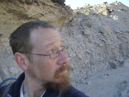 More eroded walls in the wash
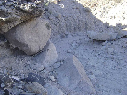 "Painted-dot" rock
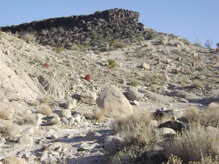 The tip of one of the old lava flows lies a short distance ahead
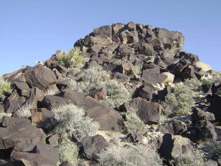 Approaching the base of the lava flow from the knoll that it rests on
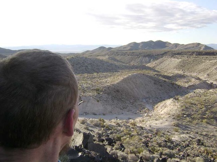 I make it almost to the top of the lava and am taking in the excellent views across the Indian Springs area
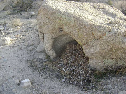 I climb back down to the wash below
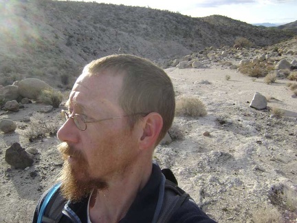 I feel like taking a different route back to camp, instead of returning the same way I came
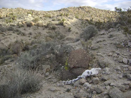 I start walking up the low ridge to the west of me to get an overview of the area
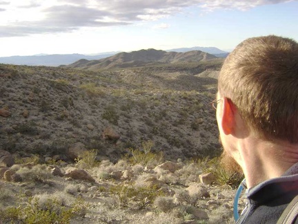 At the top of this low ridge, I contemplate my next steps
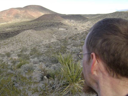 Behind me is one of the cinder cones for which this area is well-known
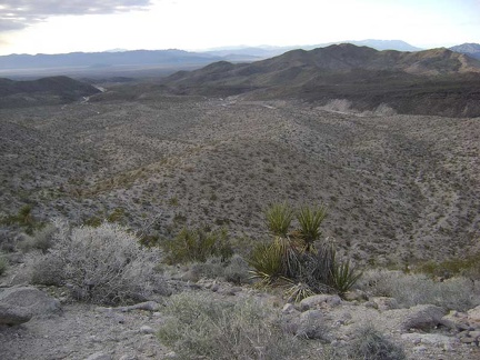 Further along atop the next hump
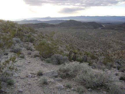 Looking to the northwest, I can see another wash that looks like it drains toward Indian Springs
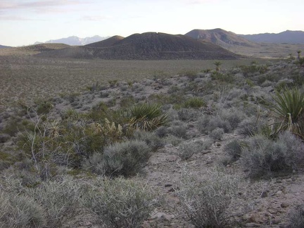 I'm partially descending the back (south) side of the ridge to avoid the cold wind on the ridgetop
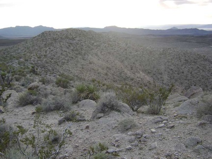 Heading back up to the ridgetop for a moment
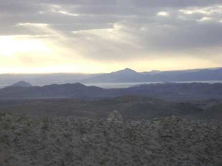 Great views across to Soda Lake from the ridgetop
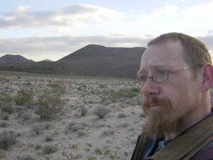 So it's down the back side of the ridge again for a short distance to avoid the wind
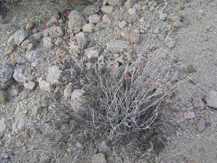 I keep seeing these diminutive buckwheat-like plants
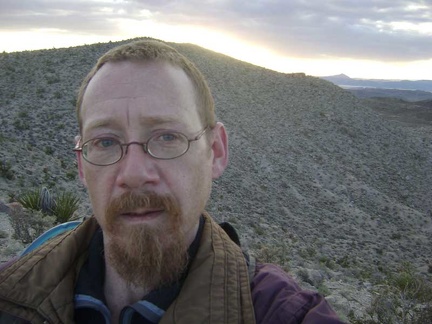 OK, back up the hill a little again
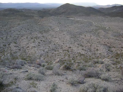 Nice views, but there's a really steep drop between here and that wash down there
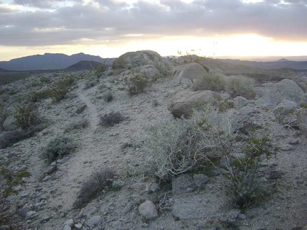 This must be an animal trail along the ridge
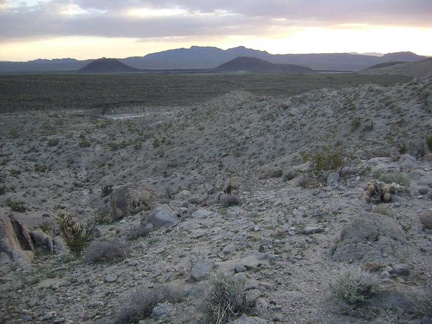 Ah! Just beyond the end of the animal trail, I spot a wash worth aiming for on the valley floor
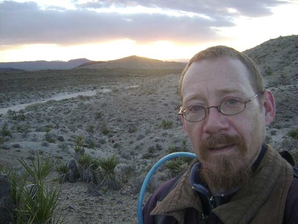 Almost down at my chosen wash!
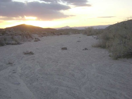 Now that I'm in the wash, I just have to follow it all the way down to Indian Springs Road
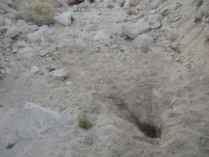 A big hole dug by an animal in a quest for water
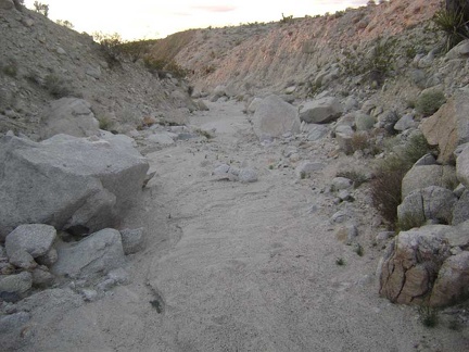 Faint pink light in the wash
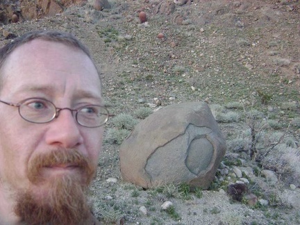 A quick stop at "Eyeball Rock," as I've decided to call it, for a photo break
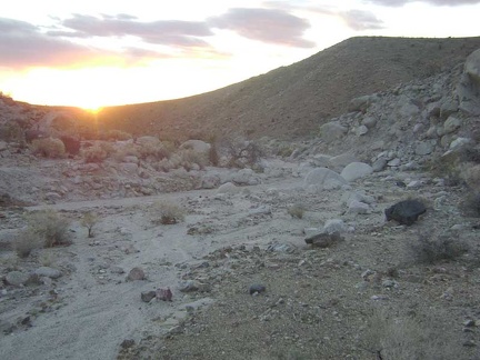 Sunset near Eyeball Rock
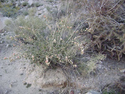 Desert mallow
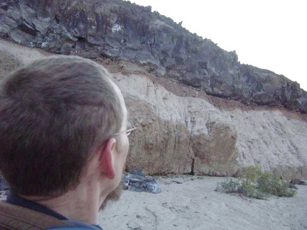 Yet more neato rock layering effects
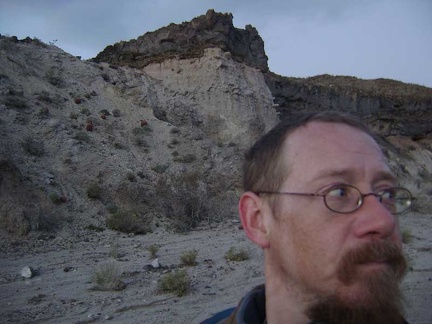 Dusk is closing in here in Eyeball Rock Wash
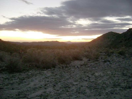 Where am I?
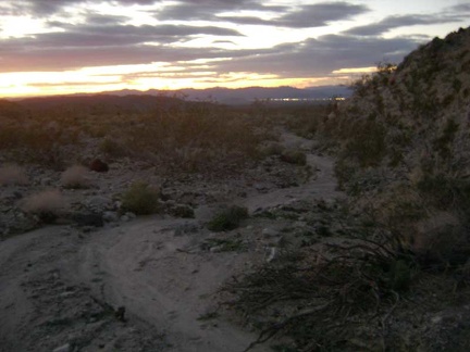 OK, I admit it--I'm lost, but not totally
 I nervously hike cross-country by flashlight toward the lights of Baker, in search of the road back to my tent
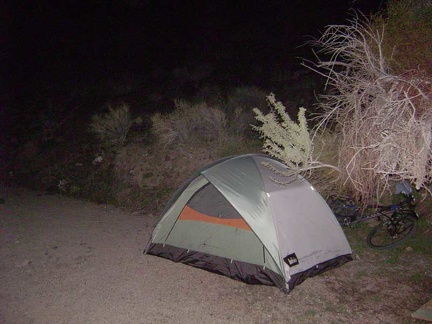 After 1/ 2 mile or so, I'm relieved to stumble across Indian Springs Road as hoped
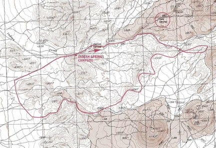 After I get home next week, I'll get a detailed USGS map and try to map today's hike in the Indian Springs and Cane Spring area