Home 7119

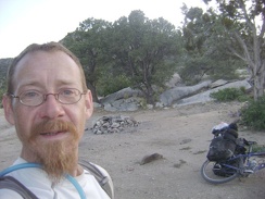 I drag the bike over to the nearby campsite and this happy camper calls it a day
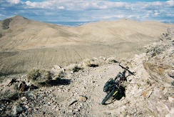 On my way back down Chloride Cliff Road
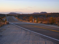 I put on my windbreaker for the easy 20-mile downhill to Baker, and off into the sunset we go
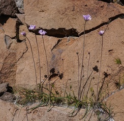 Blue dicks
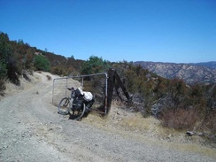 An old gate on County Line Road before the final rise where County Line Road veers westward and becomes Bear Mountain Road.
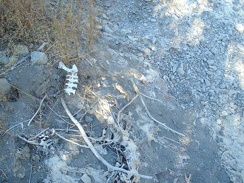 Animal bones along the creekbed.
 Now that I'm above the rock outcrop, I can see the next hill on my way up the McCullough Mountains
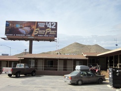 A billboard next to the Searchlight motel advertises a "luxury" motel elsewhere
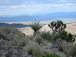 As I plot the continuation of my hike, I look down into a secluded valley on the other (west) side of the Castle Peaks saddle
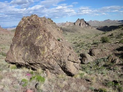 A few nice rock outcrops dot the hike down the wash into the valley below the Castle Peaks
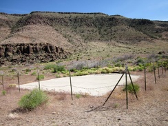 At the mouth of Saddle Horse Canyon is a guzzler (a pad of concrete), dry right now due to lack of rain
 Bluejay Mine Road ends here, so I stash my bike in the brush, lock it up, and begin today's hike
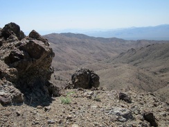 The little rock outcrops on the Providence Mountains ridge keep attracting my attention
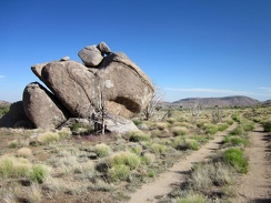 This pile of rocks reminds me of a rabbit viewed in side profile, with its head facing toward the right
 I leave my Pinto Valley campsite at 5650 feet elevation and start coasting down Howe Spring Road around 9h
 This clearing along the south fork of Globe Mine Road is obviously an old site of something and well-used
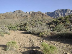 At the bottom of the narrow wash, I rejoin the wide wash that will lead back to the south fork of Globe Mine Road
 I stop briefly at the old corral on the way down Morning Star Mine Road
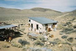 The rear of the Aguereberry cabin
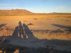 With sunset approaching in half an hour or so, I'm starting to cast nice long shadows on the edge of Broadwell Dry Lake
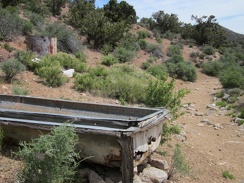 A bit beyond the Pine Spring corral is an old water trough and a rusty water tank
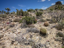 I climb over several low hills on my cross-country route toward Indian Spring
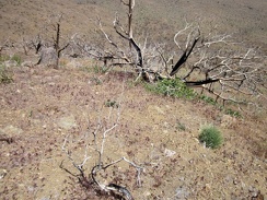 A quick look back down the hill behind me confirms why my heart is pounding
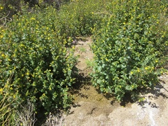 Aha, a trickle of water passes by these Mimulus bushes (Monkey flower) and their yellow flowers in upper Butcher Knife Canyon
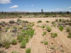 My five-mile ride across the Sagamore Canyon Cut-Off road comes to an end when I reach the bigger Ivanpah Road
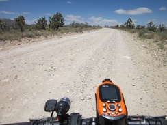 Ivanpah Road is wide and gravelly
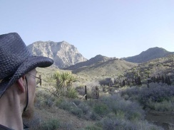 I take one last look at the old corral and water tank and continue my hike down the narrow wash back toward camp
 Scattered flowers add some color to the descent toward Globe Mine Road
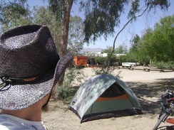 For a change, my first concern of the morning is not boiling water for coffee or digging a cat hole
 Looking southeast from the Essex post office, down Sunflower Springs Road, a dirt road that rises up over the mountains
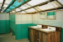 Inside the rustic Nipton shower building, dirt floors and all!
 The end of upper Monarch Canyon overlooks Death Valley below
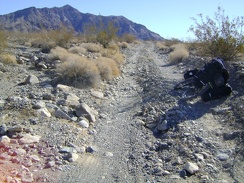 Old Kelso Road occasionally crosses dry washes where it is suddenly rocky instead of sandy
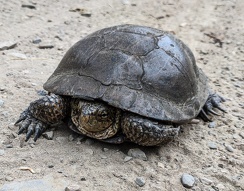 Pond turtle, Henry Coe State Park
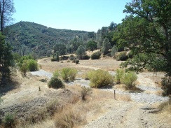 The bottom of Bear Mountain Road crosses Coyote Creek, which is dry at this time of year.
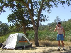 Another blazing-hot morning at Paradise Lake, Henry Coe State Park
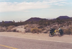 kelbaker2
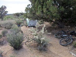 Waking up after the first night of a camping trip is always special; I've finally arrived. It was chilly overnight and I'm feeling exhausted from yesterday. I was so tired that I didn't wake up once during the night. It always takes a few days to build u
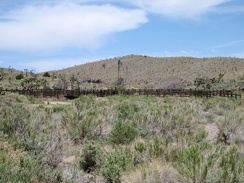 Across the road from the old Barnwell water tank is a corral and another windmill
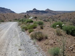 I continue riding down Wild Horse Canyon Road toward the Wild Horse Mesa area, watching for the easy-to-miss Bluejay Mine Road
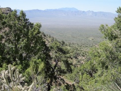 The hills between Cottonwood Spring and Cabin Springs are high enough to provide great views
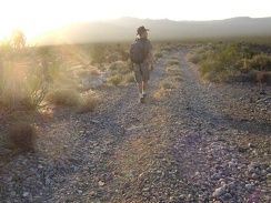 I walk down the fan on the south fork of Globe Mine Road, enjoying the sun behind the Marl Mountains
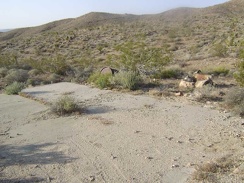 Just before arriving at the mine sits a concrete platform on the side of the road
 At the base of the joshua-tree grove are rocks and a few other native plants
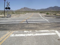 The signs behind me warned that the road would turn sharply to the left after crossing the tracks
 I'm up out of Kelso Valley now
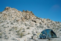 A different view of the Kelbaker Hills campsite showing the rocky hill behind it
 An energy-bar break is de rigueur here before tackling the final few miles up to Mid Hills campground
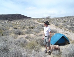 Time to break camp on Gold Valley Road and begin the long ride down to Furnace Creek Campground
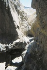 The trail passes through some narrows
 I get off the I-40 freeway at the Nebo Street exit, turn left, then go under the freeway and rejoin old Route 66 eastbound
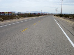 East of Daggett, one of several long cargo trains passes by
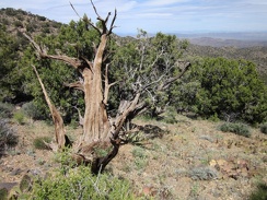 I spy an old tree trunk on the McCullough Mountains ridge line
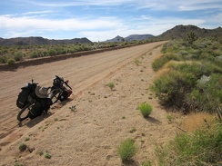 The 10-ton mountain bike slowly gains altitude on Cedar Canyon Road
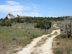 On the way down Wild Horse Canyon Road, I pass the little road that leads to the Eagle Rocks area
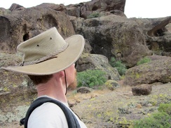 I've passed through the Hole-in-the-Wall area here so many times without stopping to take it in on foot
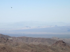 Everything has been quiet, and I can see down to the tiny town of Kelso, when a low-flying helicopter passes overhead
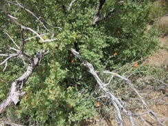 Approaching Howe Spring, I notice some old scrub oaks growing back from their burned structure
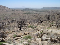 I take a look behind me to see that I'm quite a few feet above Pinto Valley now
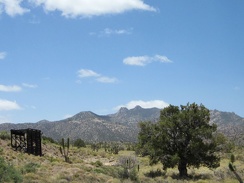 I walk over to that old headframe, or whatever it is, with the New York Mountains backdrop
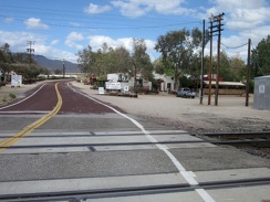 My dirt road crosses the paved Nipton Road, where I get off to visit the general store
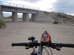 Nipton-Desert Road crosses under the train tracks at the one-house settlement of Desert, California
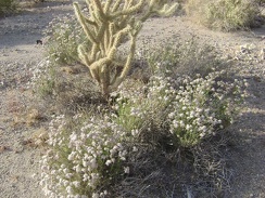 A garden of white buckwheat flowers and cholla cactus along the south fork of Globe Mine Road, Mojave National Preserve
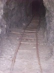 An old track leads into the Bighorn Mine tunnel
 The views were already great, but now I'm way above the main mine road below as I climb the switchback to the upper area
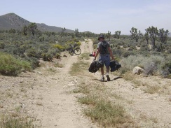 I assemble the 10-ton bike just beyond the goathead-infested meadow at the Butcher Knife corral
 The views from up here are great, and I hate to turn back, but I'm turning back anyway
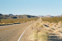 I take on the 12-mile climb up Kelbaker Road rising away from Kelso Depot
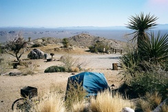 I've bought another box of fire wood from the Park office to have a campfire tonight
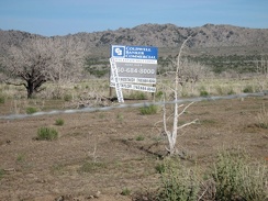 A chunk of land in Round Valley is for sale
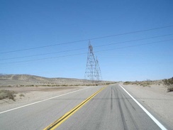 I stop at the power lines that cross Highway 127 ten miles out from Baker and am surprised that my cell phone still works
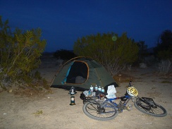 DSC00239
 Broadwell Dry Lake at sunset
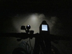 It has been dark for an hour now, and I'm finally on the dirt road off Route 66 leading up toward Sleeping Beauty mountain
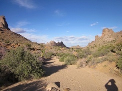 I'm now walking up a wash that I hiked down earlier today, but this time I'll go all the way to the crest ahead
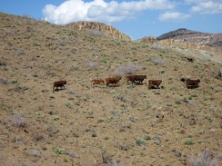 The cows saunter along the Providence Mountains hillside, toward where?
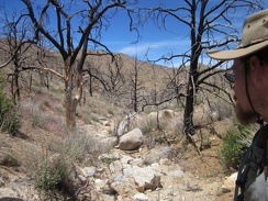 The hike down into Butcher Knife Canyon starts off as a small, rocky drainage
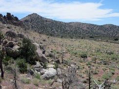 Cottonwood Spring is only a bit more than a mile away
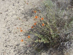 Orange desert mallow flowers at the Kelbaker Road summit, Mojave National Preserve
 One other unavoidable item around the Butcher Knife corral is small droppings
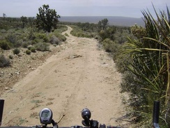 I ride down the Butcher Knife Canyon road, satisfied that I've managed to leave my campsite by 13h
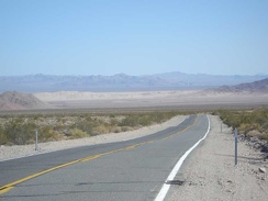 Dumont Dunes get closer as the descent continues
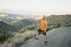 We find ourselves at the top of the Goldbelt Grade at a time of day when photographers come out
 After the nice break at Kelso Depot, it's time to start the 12-mile climb up to the Kelbaker Road summit
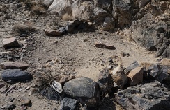 Circle
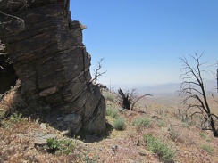 Hill 1624 in the Providence Mountains boasts a robust rock outcrop stacked in layers
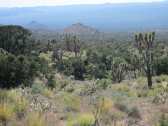 This views down the hill toward Cima Dome across upper Ivanpah Valley are quite nice
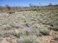 At the bottom of the valley, an uninterrupted patch of grey-green bunch grasses grows
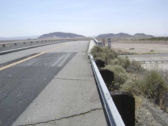 Leaving Baker, the 10-ton bike and I cross the I-15 freeway and head toward Mojave National Preserve
 I come across a number of old cans as I hike over the little hill and leave the mine area
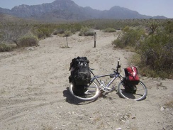 I head up "the shortcut" to check out a better road that I saw on my way here, but which is not on my maps
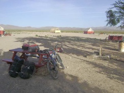 The small campground at Nipton, with New York Mountains in the background, is almost empty tonight, which suits me just fine
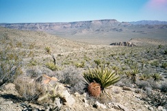 Northeast from Providence Mountains Campground, one gets a view of Wild Horse Mesa
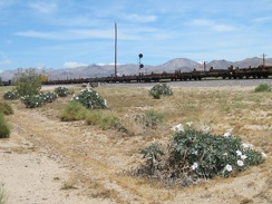 Blooming daturas decorate the train tracks along Kelso-Cima Road
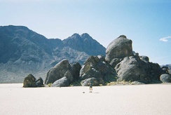 Phil walks out toward The Grandstand
 On the way back to my campsite at Mississippi Lake, I stop to take photos along County Line Road on the ridge top
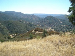 The bottom of the road in the canyon at Coyote Creek becomes visible.
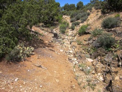 I've hiked two miles up Pine Spring Road, which ends here, so I climb a hill to get oriented for the day's off-trail hiking
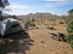 On the other side of my tent at Mid Hills campground site 9 is a wide-open space that burned in the 2005 brush fires
 Some of the juniper trees, like this one, at Mid Hills campground are quite old
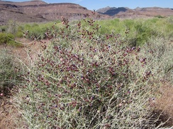 On the approach to Saddle Horse Canyon, I pass another flowering plant that I like: Paper-bag bush (Salazaria mexicana)
 Another little cave on the Providence Mountains ridge line...
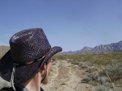 On the way across the fan, I cross the old road to Bolder Spring again
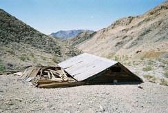 Down at the collapsed building at the old Ubehebe Mine site
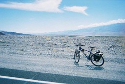 I've risen out of Death Valley just enough to have a view of the Badwater Basin ahead
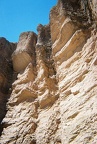 Close-up of Red Cathedral
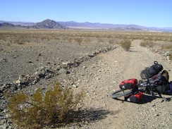 I pause on Old Kelso Road to admire the views back toward Cowhole Mountain, Soda Lake, and my campsite of the last two nights
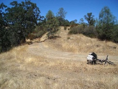 A slow and mostly gentle climb up from Mississippi Lake to County Line Road, which rides along the ridge.
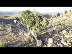 On South Campground Peak, Mid Hills Campground, I discover a couple of juniper trees that survived the 2005 brush fires here
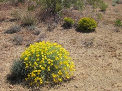 Close to Searchlight along Nevada 164, I notice a few of these yellow domes
 Some stretches of the old, closed Castle Peaks road are quite eroded
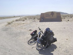 A quarter mile or so beyond the freeway crossing, I reach the Mojave National Preserve entrance marker and leave the past behind
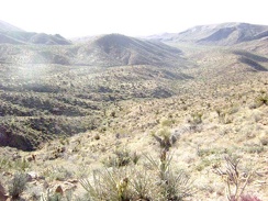 Perched up on this hill, the Tough Nut Mine site offers many great views, including this one to the northeast
 I'm starting to see some blooming sages in this area
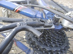 I re-repair the broken bike rack by reinstalling my improvised brace under the rack, rather than on top of it
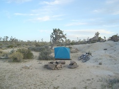 I have the whole day to spend up here on Cima Dome, so I'll do a hike up to Teutonia Peak and beyond
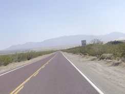 Just a few miles to go before reaching Kelso Depot...
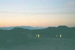 At the top of Kelbaker Road at 3800 feet, the last 20 miles into Baker at 925 feet will be a gentle downhill (in the dark)
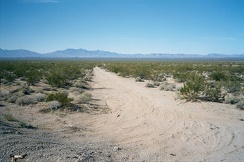 After the 10-mile ride on Route 66 from Goffs to Fenner, I take note of a dirt road leading to the Providence Mountains
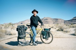 The 10-ton bike is all packed up and we're leaving Hole-in-the-Wall Campground, Mojave National Preserve
 As I pack the tent's contents into my saddlebags, I remove the big rocks I placed inside the tent to keep it from blowing away
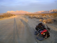 A few moments after visiting the Kelso Dunes outhouse, it's time to dismount again and check out the lighting effects behind me
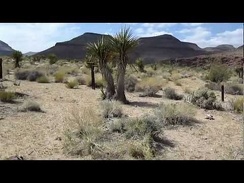 I reach the end of the dirt road, just south of Rustler Canyon, and park the bicycle
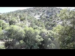 Arriving Keystone Spring, Mojave National Preserve: water!
 I continue hiking more or less along the barbed-wire fence
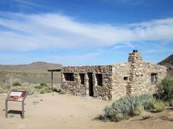 After crossing Watson Wash, I turn off Cedar Canyon Road to visit the Bert Smith rock house
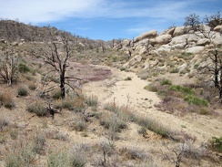 I continue walking up the wash beyond Howe Spring toward the top of one of the forks of Butcher Knife Canyon
 I climb up some rocks, but it's a dead-end, so back down to the Butcher Knife Canyon stream I go
 I decide to go climb a few boulders over on the nearby rock pile
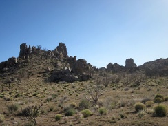 As I walk around the rocks near Howe Spring, I reflect on how I haven't seen another human for almost 4 days
 I zoom in behind me for a final glance at the Castle Peaks area of the New York Mountains
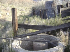 In this narrow wash, I stumble across some old installations: a waterless cistern and a water tank, probably also dry
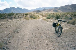 Riding down the old road just west of I-15
 Cattle-guard on Nipton Road at I-15
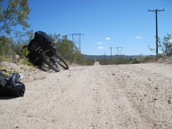 I walk my packed saddlebags back to the powerline road, assemble the 10-ton bike, then ride a short distance to reach pavement
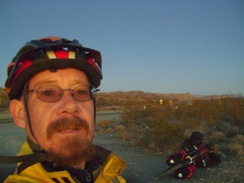 Darkness sets in as I arrive at the summit of Kelbaker Road at 3700 feet, ready for the 12-mile descent to Kelso in the dark
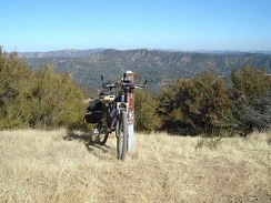 Bike standing on the edge of County Line Road at the trailhead of the Hartman Trail (closed to bikes)
 On the way over to North Campground Peak is another juniper tree that survived the 2005 brush fires here
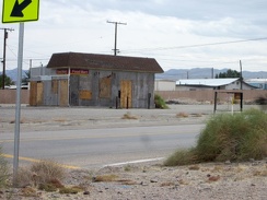 Daggett has numerous unused structures, such as this old gas station
 Atop the blackbrush hill, I check out the upward route ahead to the McCullough Mountains ridgeline
 Cacti and a few blue phacelia flowers enjoy the shade under this pinyon pine in the McCullough Mountains
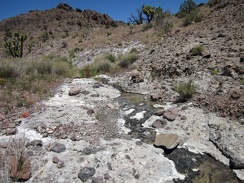 To my surprise, I find a small stream in this unnamed Castle Peaks canyon
 One of the hilltops between Cottonwood Spring and Cabin Springs is topped with numerous flowering cacti
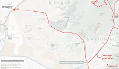 Mojave National Preserve map, Day 1: Baker to Globe Mine Road
 I stop for a break and a Clif bar on a small flat area to take in the view of the Kelso Dunes that has been behind me
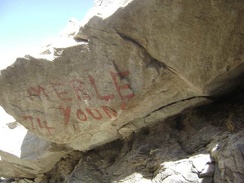 A rock at the entrance to the mine is painted with "Merle Young 74"
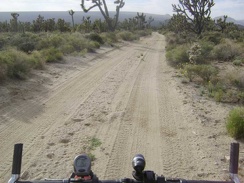 The first mile or so of Death Valley Mine Road is rideable despite some sand on the road because it's a bit downhill
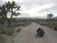 I start dragging the bike up the old Cima Road, which is turning out to be really sandy
 Hiking up Butcher Knife Canyon, Mojave National Preserve
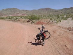 I see that I'm approaching a mining area with red soil that is not on my map and may still be active
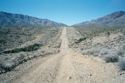 Along the way to Foshay Pass, there are a few steep sections, but the grade is mostly moderate
 The climb up Black Canyon Road toward Mid Hills only lasts a mile until I reach an almost-flat plateau (Round Valley)
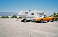 An old car and trailer near my camp site at Tecopa Hot Springs Campground
 It's a bit cloudy this morning up on Gold Valley Road
 Old Kelso Road has proven to be more rideable than I expected, but this final part before the power lines is a bit rough
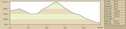 Elevation profile of bicycle route from Kelso Dunes area to Baker via Kelbaker Road
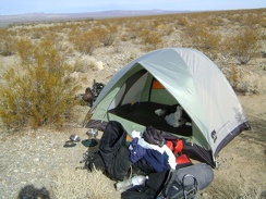 OK, everything out of the tent, it's time to pack up and leave!
 Walking the bike up the short road to Arnold Horse Camp.
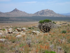 This old juniper tree was mostly burned, like everything surrounding it, during the 2005 brush fires, but its crown lives on!
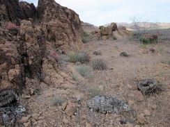 A few small barrel cacti are on the side of Saddle Horse Canyon, some living, some burned
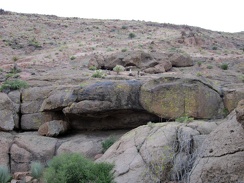 One of several rock shelters in the Hole-in-the-wall area
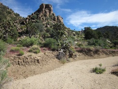 I reach a sandy wash near Cabin Springs, so I walk down it briefly
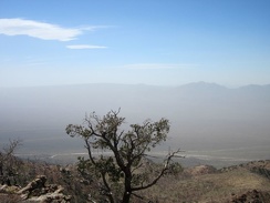 This pinon pine tree appears to have burned a bit during the 2005 brush fires, but not enough for it to die
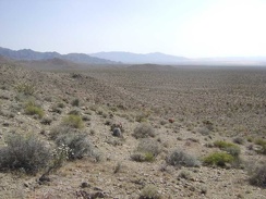 I drop down onto the fan and head south toward Kelso Dunes
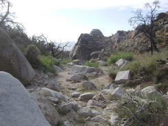 I'd like to hike further up the canyon and over the hill to the other side of the New York Mountains if I had time
 I make another stop in the lava-flow area, this time at Black Tank Wash
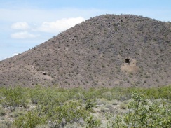 Coyote melon grows on the shoulder of Kelbaker Road just north of Kelso
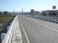 Up bright and early, I go for a walk up the road to the Bun Boy restaurant for breakfast
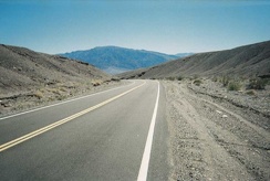 Daylight Pass Road passes through some low hills as it approaches the valley floor
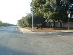 Entering San Jose's suburban sprawl along Monterey Road for real now, passing by a street called Grandwell Way.
 The lower part of Gold Valley Road has more sand; I sometimes lose traction and need to walk the bike occasionally
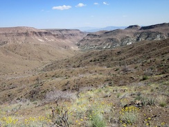 As I climb a bit higher above Beecher Canyon, I pass through a field of Desert marigolds
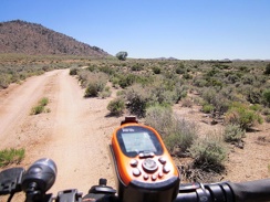 Since I'm in no rush today, I decide to take a short detour over to Government Holes, that big tree up the dirt road here
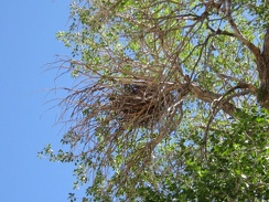 A substantial bird's nest up in the Government Holes cottonwood tree also watches me
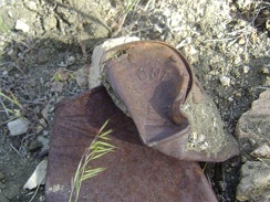 An old Hunt's can
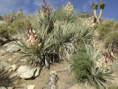 Colonies of flowering banana yucca populate some of the walls of the wash below Butcher Knife Canyon
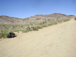 As I pedal my way gently up Ivanpah Road on the compromised 10-ton bike, I stop briefly at the little road to Bathtub Spring
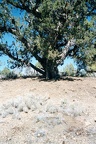 Huge old juniper tree near my campsite at Mid Hills Campground, Mojave National Preserve
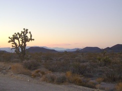 I'm enjoying the fleeting sunset along Kelbaker Road as I slowly approach the summit, looking back to the cinder cones
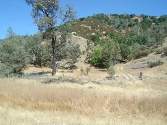 Arnold Horse Camp, my destination for the day, is hidden in the trees at the centre-right, up the road from the dry Coyote Creek
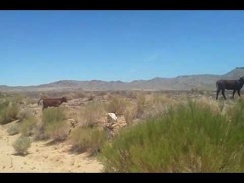 I stop to watch a cow and her calf as I ride up Black Canyon Road
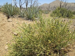 Turpentine broom in the foreground, Banana yuccas in the middle, and Antelope brush behind that
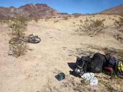 I'm almost finished packing up the tent and its contents; good-bye Sleeping Beauty!
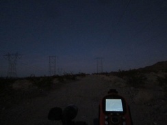 OK, it's getting dark for real; I'll ride a couple more miles on the powerline road while looking for a campsite
 My cross-country hiking ends temporarily when I hit the old closed road to Indian Spring, which serves as a nice trail
 I reach my shortcut road that connects Cedar Canyon Road with Black Canyon Road
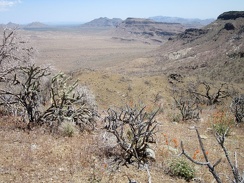 From Hill 1713, I can see across Gold Valley to Twin Buttes and the Woods Mountains
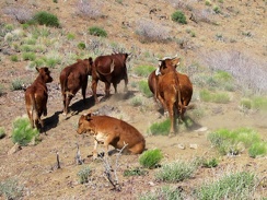 As I hike over another hump on the Providence Mountains ridge line, I arrive at a herd of resting cows
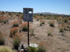 This sign near Government Holes used to say something about private property
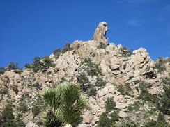 I keep looking at the hawk-head rock formation as I walk past the hills near Cabin Springs
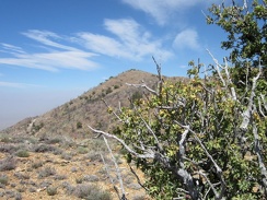 OK, it's time to come out from behind this big old barberry bush and walk up there to Cliff Canyon Spring Peak #2
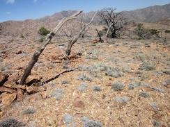 I come across another another one of those old rough-hewn wood fences that I always like
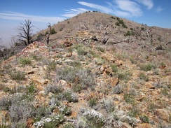 Just a little further until I reach the top...
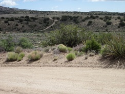 My route ahead will take me across Watson Wash
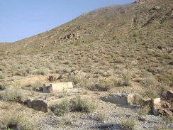 Old concrete foundations for something
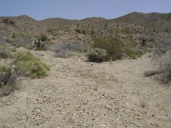 I hike a little further up Bolder Spring wash and reach a fork
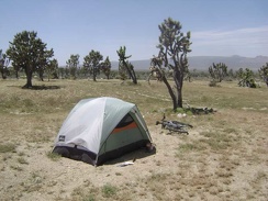 This campsite is actually two miles down the wash from Butcher Knife Canyon, not in the canyon itself
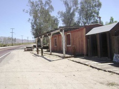 This old roadside building at Nipton looks like it may have been a store at one time
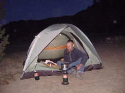 The last supper at Keystone Canyon
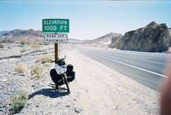 I reach the 1000-foot point of elevation gain on the way out of Death Valley