Home 7119

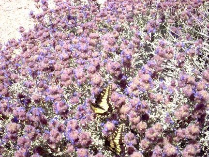 A pair of butterflies are having a great time in these sage blossoms
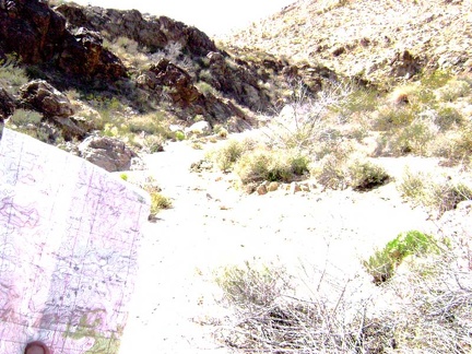 I stop at this small side wash and get out my map and compass to see if this might be the old road to Tough Nut Mine: wrong!
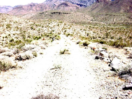 I climb over the next hill and recognize my location as the end of the south fork of Globe Mine Road
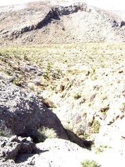 After hiking 20 minutes up the big wash, I'm again getting that feeling that I may have missed the road to Tough Nut Mine
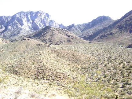 It was a good decision to climb to this crest; I can now see part of the road to Tough Nut Mine in the distance on my left
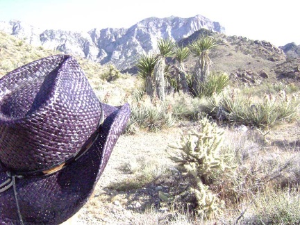 Down at the bottom of the hill live many happy yuccas, some blooming, and spiky cholla cacti
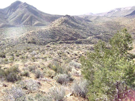 After climbing a gap between hills where the old connector road should be, I've ended up above the road to Tough Nut Mine
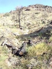 There aren't many pine trees up here, so it's odd to see that some of them burned recently
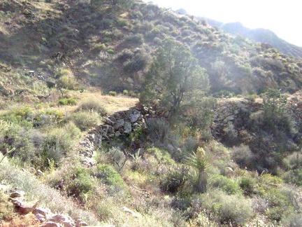 I hike up the old road to Tough Nut Mine, which hasn't been used by vehicles in many years and is slowly returning to nature
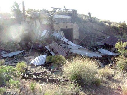 It's a bit past 17h when I finally arrive at the Tough Nut Mine ruins
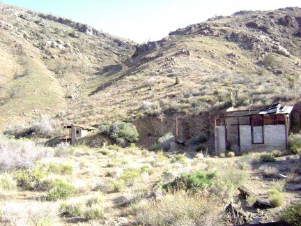 Overview of the Tough Nut Mine area, Mojave National Preserve
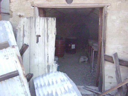 An open tunnel at the Tough Nut Mine
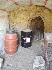 Entering the Tough Nut Mine tunnel
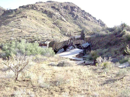 Another view of the Tough Nut Mine site
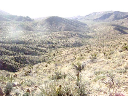 Perched up on this hill, the Tough Nut Mine site offers many great views, including this one to the northeast
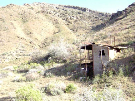 The outhouse here at Tough Nut Mine is a concrete structure
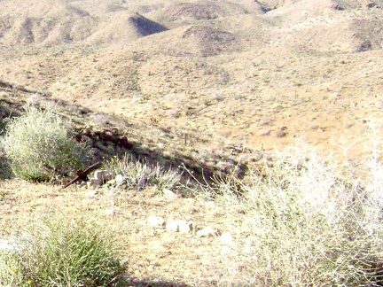 Not far from the outhouse at Tough Nut Mine rest some rocks and a tiny wooden cross to mark a grave site
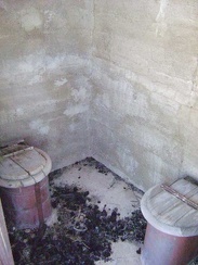 Apparently, Tough Nut Mine was truly luxurious, with two toilets in the outhouse rather than just one
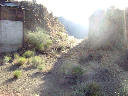 It's 17h20, so I leave Tough Nut Mine and begin the hike back to camp, passing through the slot excavated into the hillside
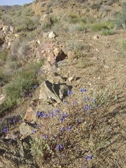 These blue flowers are abundant wherever rock support walls exist along the old roadbed
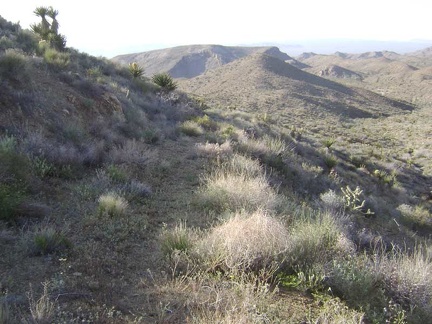 I continue my descent down the old road from Tough Nut Mine
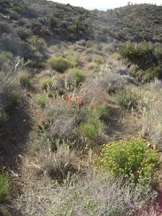 Reddish-pinkish-orange Indian paintbrush decorates the old roadbed here and there
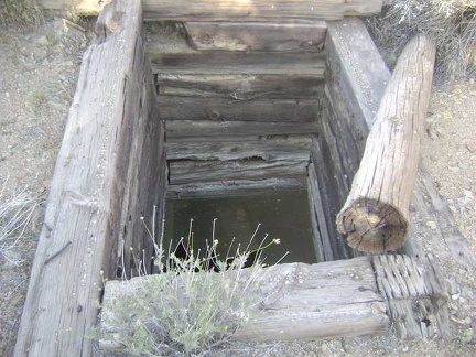 I find the well that is marked on my map
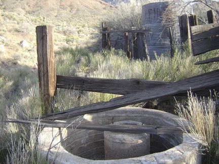 In this narrow wash, I stumble across some old installations: a waterless cistern and a water tank, probably also dry
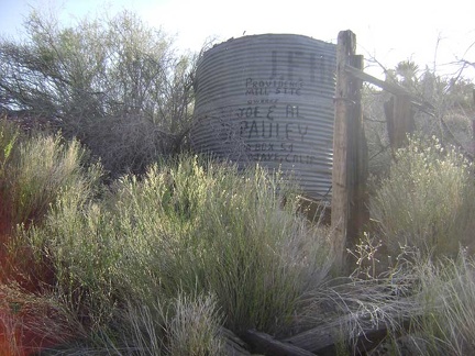 Close-up of the old water tank and the painted-on names of its owners
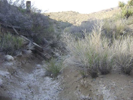 The old road that has been serving as an excellent trail so far drops into a narrow wash and disappears
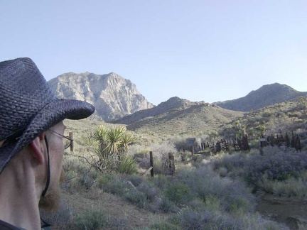 I take one last look at the old corral and water tank and continue my hike down the narrow wash back toward camp
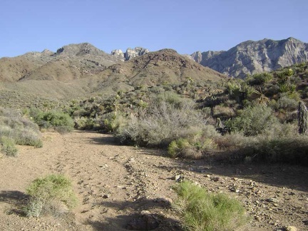 At the bottom of the narrow wash, I rejoin the wide wash that will lead back to the south fork of Globe Mine Road
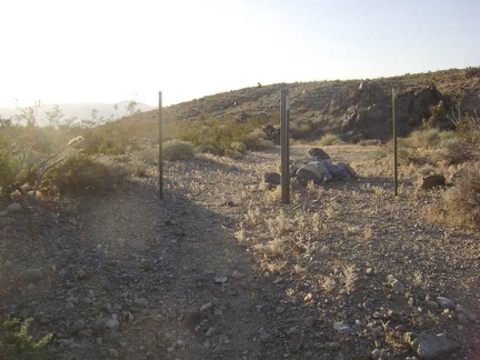 After hiking down the wash for 1/2 hour, I exit the Wilderness boundary and start walking down the south fork of Globe Mine Road
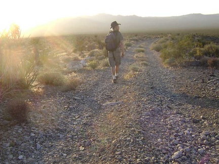 I walk down the fan on the south fork of Globe Mine Road, enjoying the sun behind the Marl Mountains
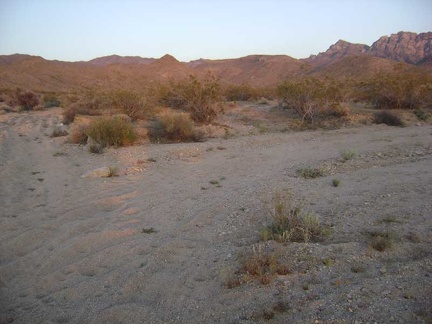 I walk down the shortcut road that I followed last night and arrive again at the junction of the middle fork of Globe Mine Road
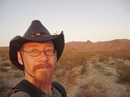 Sunset, my favourite time of day, on the middle fork of Globe Mine Road, approaching my campsite
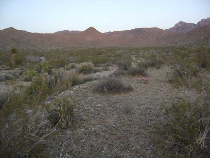 There's my tent, I'm back home and ready to settle in for the evening
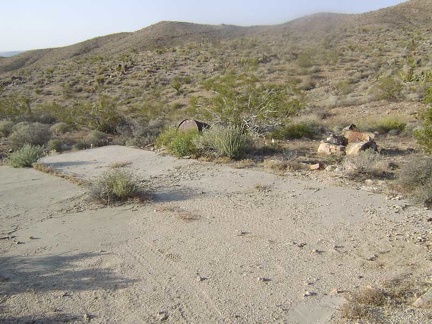 Just before arriving at the mine sits a concrete platform on the side of the road
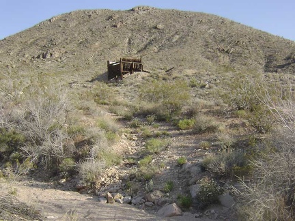 Approaching the Good Hope Mine at the end of the middle fork of Globe Mine Road, Mojave National Preserve
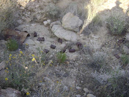 Can dump at the mine site at the end of the middle fork of Globe Mine Road
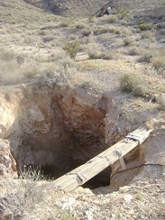 A shaft at the mine site at the end of the middle fork of Globe Mine Road
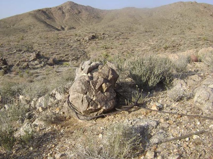 Boulder with heavy-duty wire tied around it
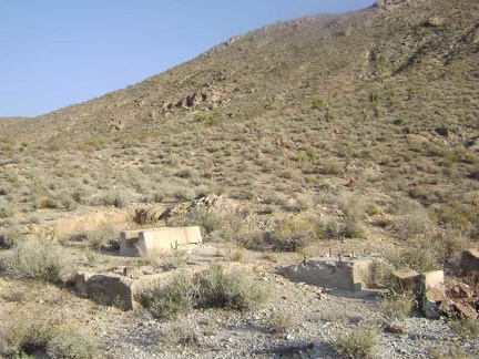 Old concrete foundations for something
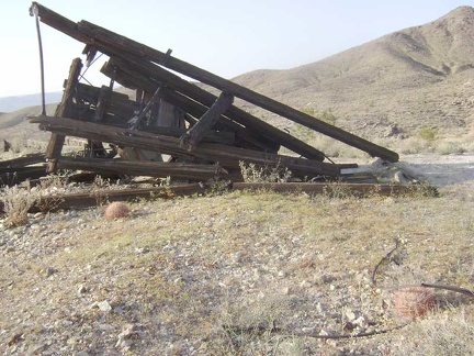 A collapsed structure at the mine site at the end of the middle fork of Globe Mine Road
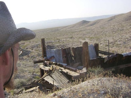 I look down at the remains of a structure up at the mine site
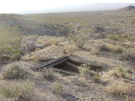 Another mine shaft sits nearby
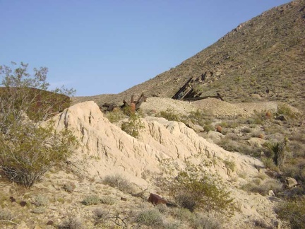 Tailings from the mine at the end of the middle fork of Globe Mine Road
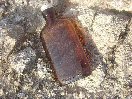 Federal law prohibits sale
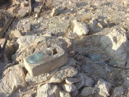 Bluish turquoise glass
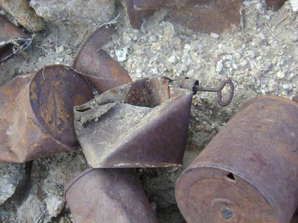 Close-up of a few cans at the mine site at the end of the middle fork of Globe Mine Road
 Mojave National Preserve map, Day 2: Globe Mine Road campsite to Tough Nut Mine day hike (8 miles)
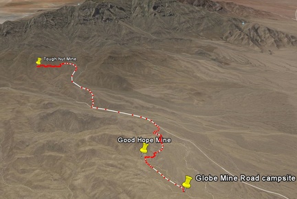 Tough Nut Mine hike route as viewed in Google Earth (8 miles)
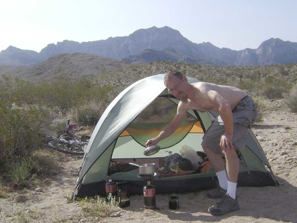 Morning #2 at my campsite off the middle fork of Globe Mine Road, I repeat the ritual of making coffee in the shade of my tent
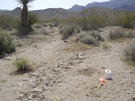 After breakfast, it's that wonderful moment I've been waiting for: digging a cat hole
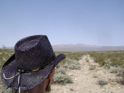 I'm off early (for me) on today's hike to the Bolder Spring area, which begins with a 1/4-mile walk down Globe Mine Road
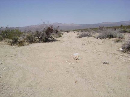 I arrive at "sand-pit junction" again, where the shortcut road joins up with the middle fork of Globe Mine Road
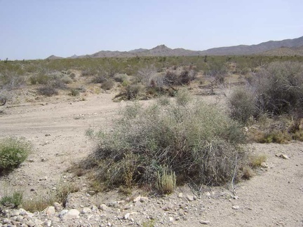 OK, I guess this is a good place to stop descending Globe Mine Road and start hiking north across the fan toward those hills
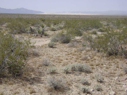 As I hike across the fan, I rise slowly and can see Kelso Dunes down below when I look behind me
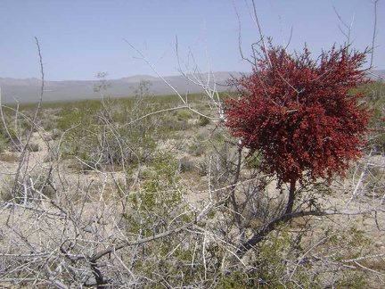 This mistletoe is covered with bright red berries
 Parts of this fan host fewer creosote bushes than usual, allowing many tufts of ankle-low grasses to grow
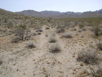 And voilà, here it is: what's left of the old road to Bolder Spring
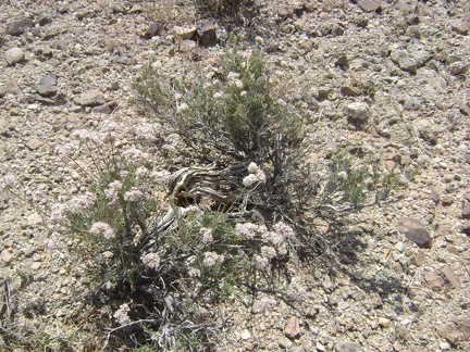 Some of the buckwheats growing around here look rather old
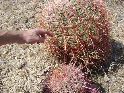 It's hard to resist touching (carefully) the hard spines of a barrel cactus once in a while
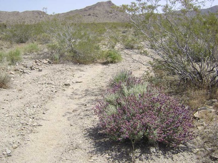 I'm starting to see a few purple blooming sages in this area like the ones I saw yesterday on the way to Tough Nut Mine
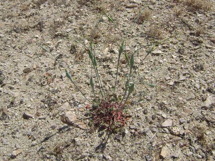 Naked buckwheat (eriogonum nudum) is fairly common around here
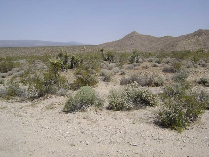 Glancing north, I see a piece of the north fork of Globe Mine Road slithering around a hill
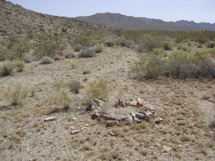 Fire ring along the former road to Bolder Spring
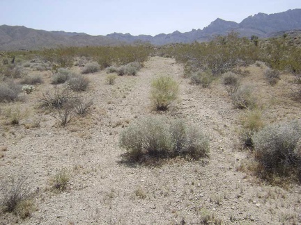 The former road to Bolder Spring is being erased by the forces of nature
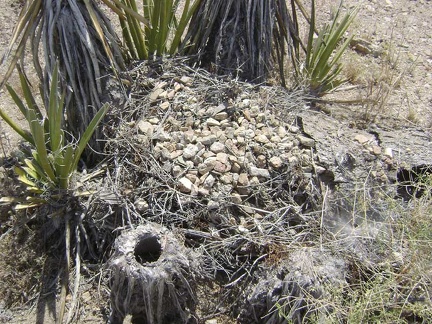 At the base of these yuccas is a pile of twigs covered with gravelly rock
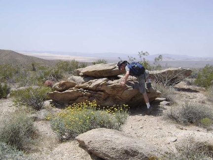 This nearby rock outcrop will serve as a nice spot for a short break
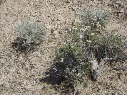 More white-flowered buckwheat
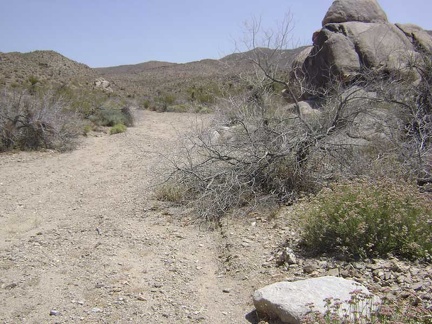 I continue walking up the wash toward Bolder Spring
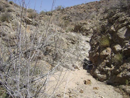 The old road to Bolder Spring is leaving the fan in favour of the foothills, and the scenery is becoming more intimate
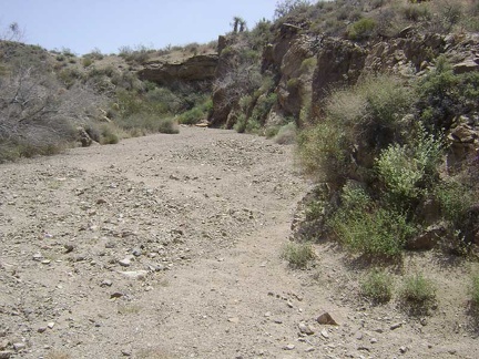 I return to the main wash and follow it further upward as it carves its way slowly into the base of foothills
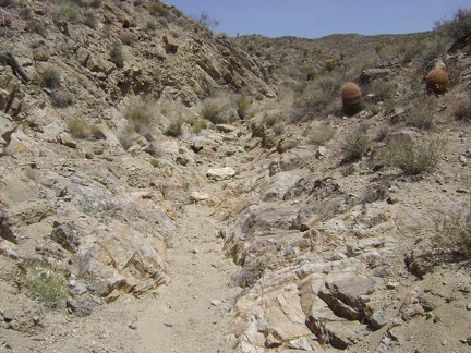 The "road" to Bolder Spring narrows
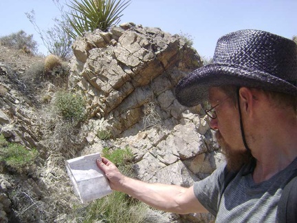 Time for a map-and-compass check to see if I can figure out where Bolder Spring is supposed to be
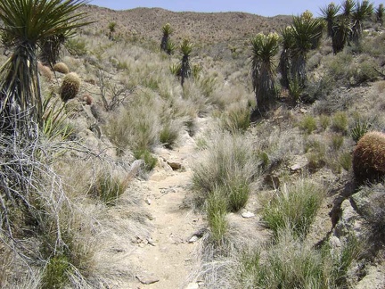 Well, there are some water-indicating grasses growing here...
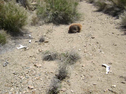 A few more bone pieces
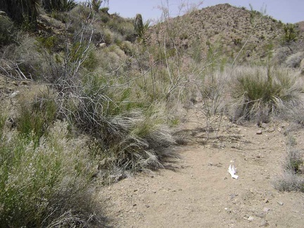 I'll make a guess that Bolder Spring is here to the left of those bones somewhere
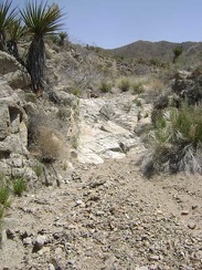 Beyond the dry Bolder Spring, the old "road" doesn't get any better
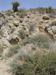 Desert mallow growing in the Bolder Spring wash
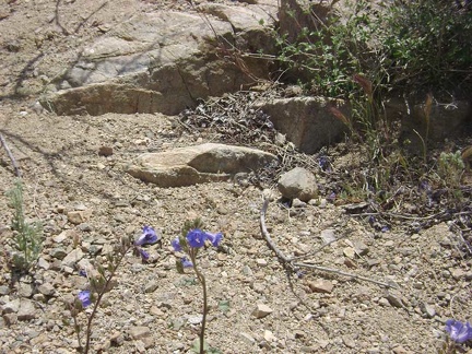 Blue flowers in the Bolder Spring wash
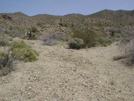 I hike a little further up Bolder Spring wash and reach a fork
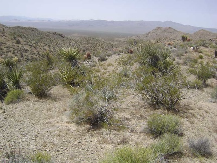 Climbing out of the wash, I look back and see the crevice that I just hiked cutting across the foothills
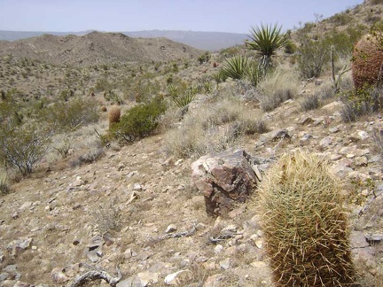 As I approach a saddle on the hills, a large rock along the way invites me to sit on it a rest for a few minutes
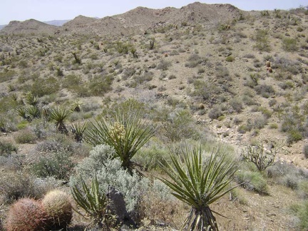 I've decided to aim for the top of the unnamed hills ahead between Bolder Spring wash and the north fork of Globe Mine Road
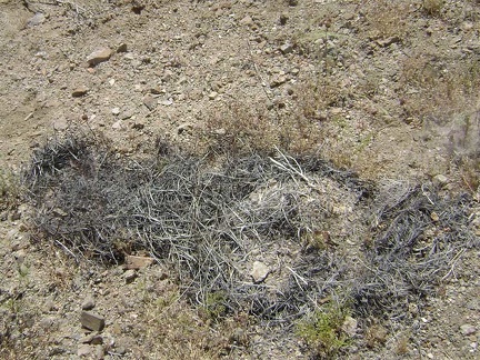 Decomposed cactus remains, apparently
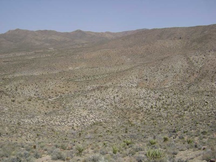 View to the east from the summit of hill 1161 near Globe Mine Road
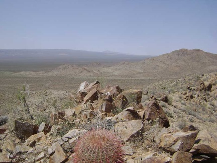 I make it to the summit of "Hill 1161" (as labelled on my map) at 3700 feet and look to the north toward Cima Dome
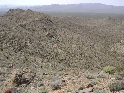 View to the northwest from the summit of hill 1161 near Globe Mine Road, Mojave National Preserve
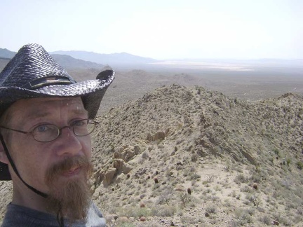 Looking southwest from the top of hill 1161 along a saddle that I'll follow to the next high point of the ridge
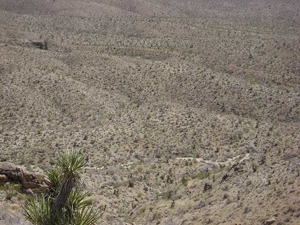 Looking straight down into Bolder Spring wash from above around hill 1161
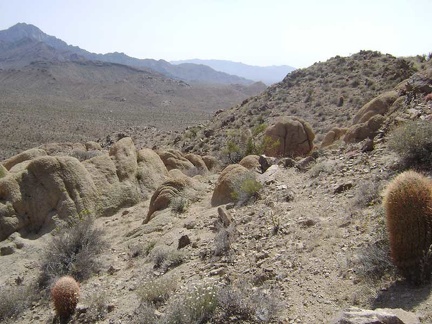 I pick my way along the ridge line, avoiding barrel cacti and other pricklies
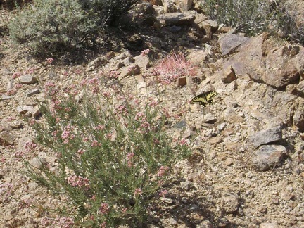 A pink-flowering buckwheat attracts a butterfly
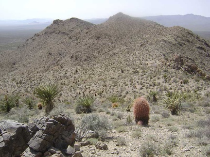 I'm having a great time up here on the ridge top; the only question is how I'll get down
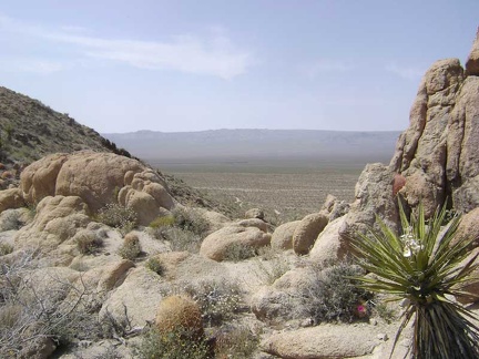 Northwest view through the boulders on the ridge
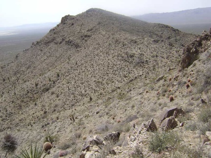 Skirting around the boulders and barrel cacti
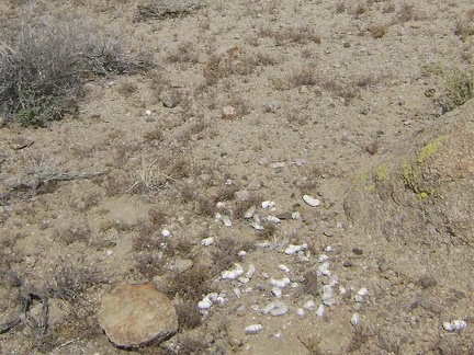 Lots of scat around these boulders
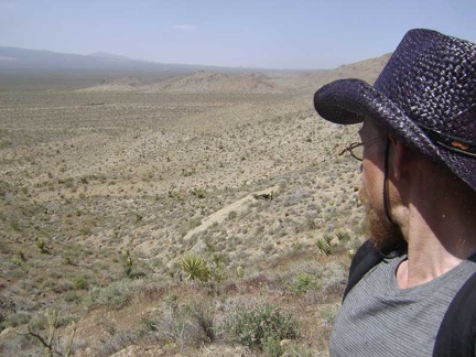 I've found my route down: I'll tiptoe down the hill on the left side of the drainage in front of me
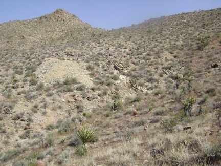 Partway down the hill, I look behind me and see that I've already dropped below that mine shaft over on the other hill
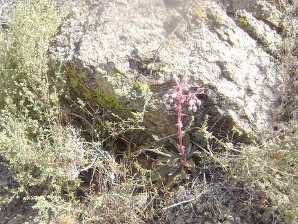 A desert dudleya (perhaps Dudleya saxosa) pokes out from behind a rock on the way down the hillside
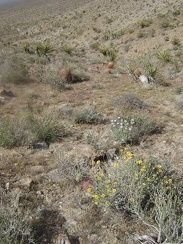 Scattered flowers add some color to the descent toward Globe Mine Road
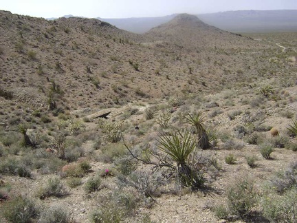 Toward the bottom of the hill, I approach the first of two unnamed mine sites just off the north fork of Globe Mine Road
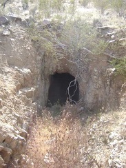 A tunnel at the first unnamed mine site off Globe Mine Road
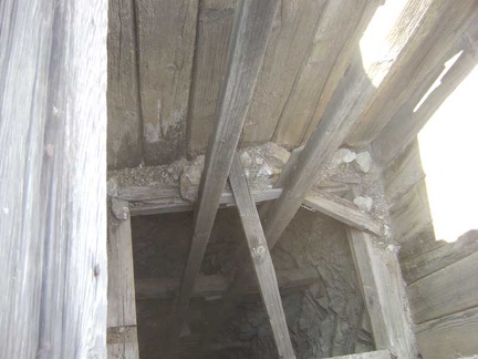 Mine shaft at the first mine site
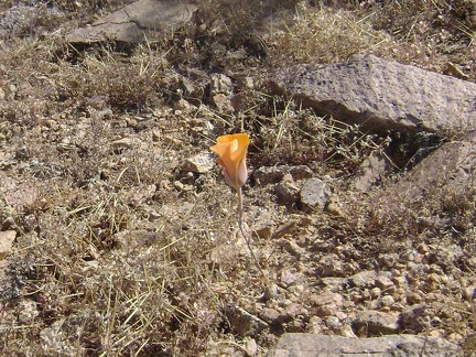 A lonely flower near the mine site
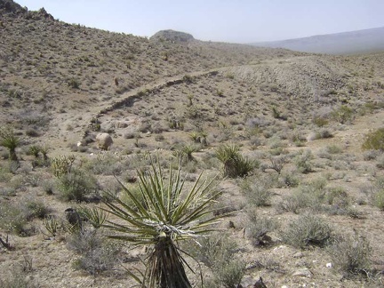 I walk over to the second mine site, closer to Globe Mine Road
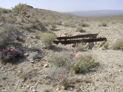 Two large timbers span the opening of a shaft at the second mine site
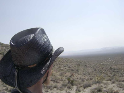 I'm finished browsing mine remnants, so it's time to begin the hike back to my campsite
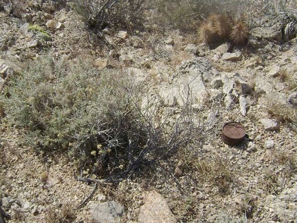 I come across a number of old cans as I hike over the little hill and leave the mine area
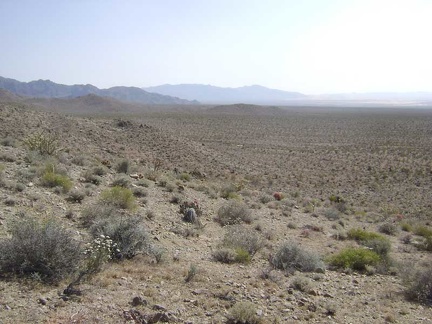 I drop down onto the fan and head south toward Kelso Dunes
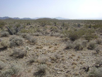 The hike across the fan back to camp is fast and easy compared to the ups and downs of today's hike into the hills
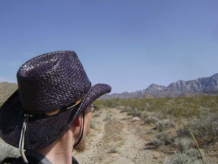 On the way across the fan, I cross the old road to Bolder Spring again
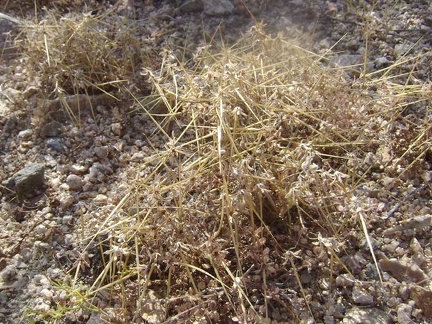 Close-up of one of the small grasses that populate this area
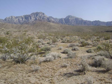 Continuing my hike across the fan, I walk past a couple of hills and arrive in the "valley" where I'm camped
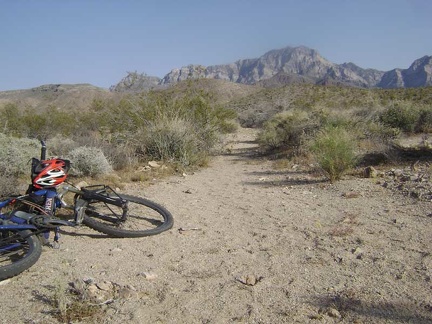 I get back to camp around 17h and happily find that my bicycle is still here waiting for me to use it tomorrow
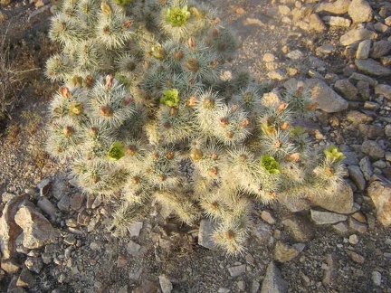 On the way back to camp from the Good Hope Mine, I notice a cactus that has green flowers
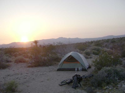 Time for another picture-perfect desert sunset near Globe Mine Road
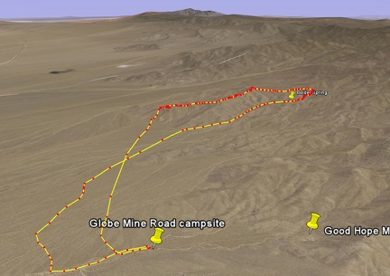 Bolder Spring hike route viewed in Google Earth
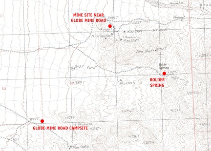 Mojave National Preserve map, Day 3: Globe Mine Road campsite to Bolder Spring day hike
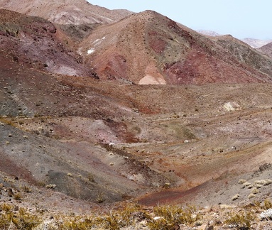 Sometimes, the colors in the desert all run together
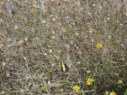 Good morning! A butterfly frolics in some encelia flowers by my tent
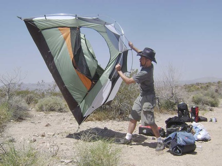 Intermittent strong gusts of wind make taking down the tent a bit like launching a kite
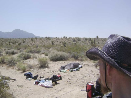 Once all is dismantled, the wind stops for a few minutes, which keeps my belongings from blowing away while packing
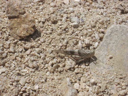 One of thousands of crickets stays still long enough for me to snap a photo of it
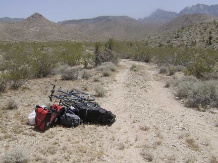 I carry my bike, and walk my packed saddlebags, out of the Wilderness area over to the old road
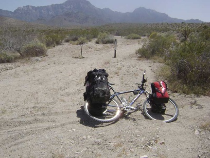 I head up "the shortcut" to check out a better road that I saw on my way here, but which is not on my maps
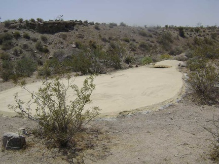 The "good road" that is not on my maps turns out to be very short and dead-ends at a guzzler
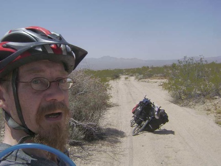 OK, I return to the middle fork of Globe Mine Road and start what will probably be a rather sandy two-mile ride down the fan
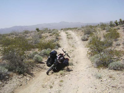 A couple of little lumps on Globe Mine Road add interest to the ride down the fan
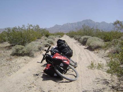 I stop and look back up an especially sandy part of the middle fork of Globe Mine Road where I just skidded out
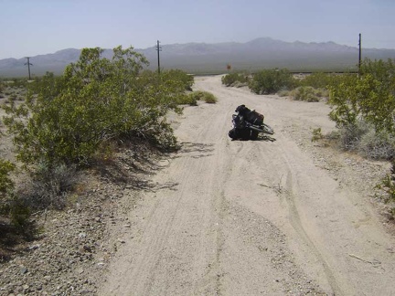 As I approach the end of the middle fork of Globe Mine Road, the north fork merges in on the right
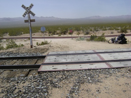 I cross the train tracks at the bottom of Globe Mine Road and am ready to get back on pavement
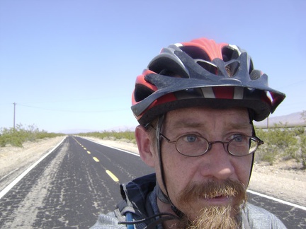 Riding down the gentle grade of Kelso-Cima Road to Kelso Depot
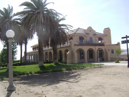 I arrive at Kelso Depot in no time, chat with rangers, load up on water, rinse a wool t-shirt, and dump my garbage
 I leave Kelso Depot and begin the trudge up Kelbaker Road toward Coyote Springs
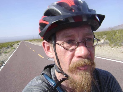 With Kelso well-behind me now at the bottom of the hill, the heat of the day is catching up with me a bit
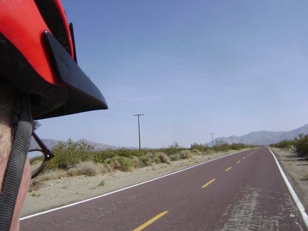 Just a couple more miles of climbing Kelbaker Road remain
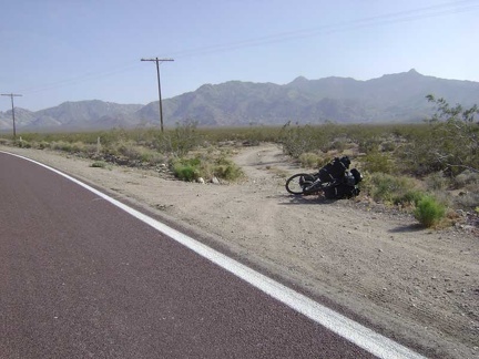 And finally—ta da—here we are, the road to Coyote Springs
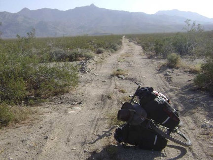 The road to Coyote Springs is a bit rough, but not too bad compared to some other old desert roads
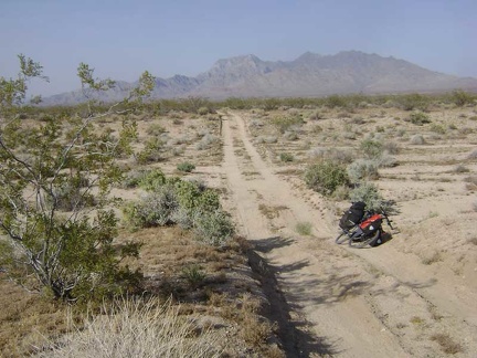 Looking back at a wash crossing that the 10-ton bike and I just walked through on the road to Coyote Springs
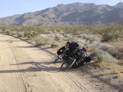 Parts of the road to Coyote Springs are fairly smooth and well-graded
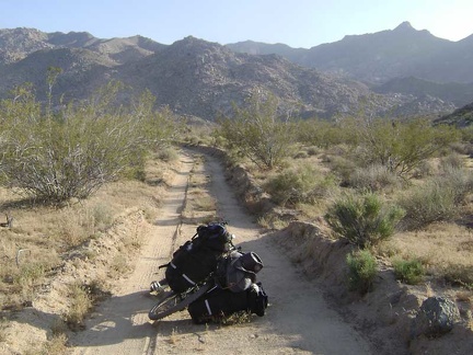 As the road gets closer to the mountains, it appears to be carved out of the land by a snow plow
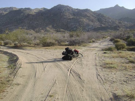 Almost at Coyote Springs!
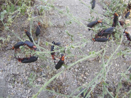 On my way down the road to the north Coyote Springs campsite, I come across a festival put on by hundreds of bugs
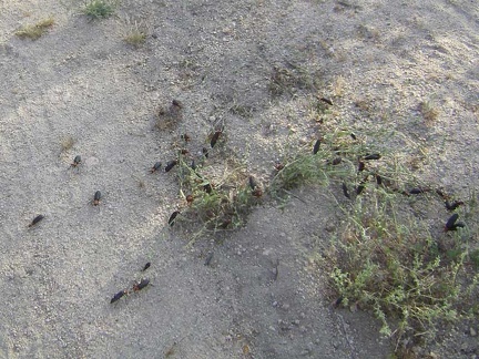 There are hundreds, if not thousands, of these bugs playing here in the middle of the road to Coyote Springs
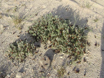 The bugs seem especially fond of these plants
 The last little bit of road up to the campsite is a bit washed out
 Happy camper arrives at North Coyote Springs
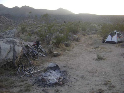 Now that the tent is set up, it's time to make a backpacker meal and settle in for the evening
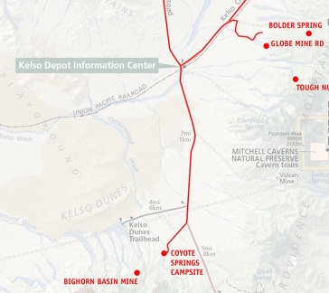 Mojave National Preserve map, Day 4: Globe Mine Road campsite to North Coyote Springs campsite
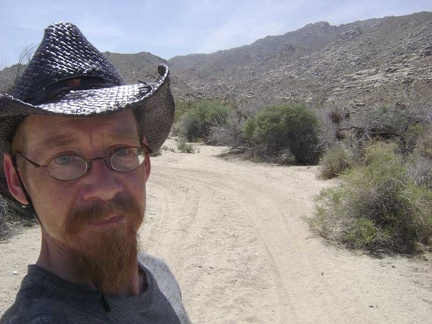 The road to Coyote Springs from my campsite is really sandy in places
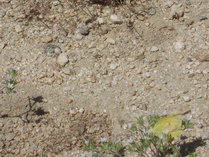 Along the road, I see a few butterflies of a sort that I haven't seen yet on this trip
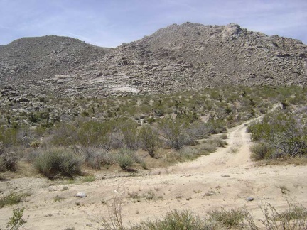 1/3 mile up the main road, I turn down the short road that dead-ends at Coyote Springs
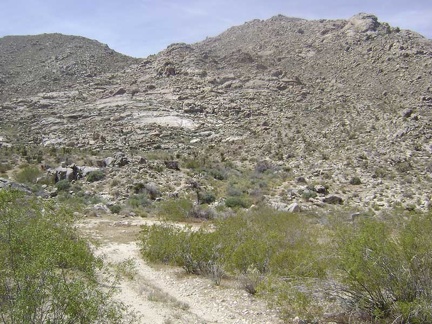 The road ends at a cul-de-sac and a campsite overlooking Coyote Springs
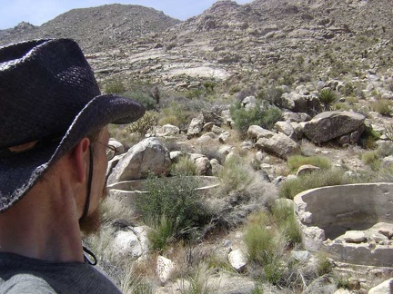 I begin my walk through the Coyote Springs area and come across these two dry cisterns
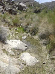 Ah, water at Coyote Springs!
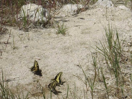 Butterflies like this moist sand along the edge of the drying-up creek bed
 I walk upstream to see if there's any more water here at Coyote Springs
 Desert dudleya growing in the rocks not far from the creek bed
 This area is almost dry right now, but is apparently a large pool of water during the wetter months
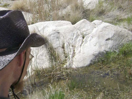 Pool of water at Coyote Springs
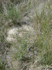 One flower that I'm surprised to find here at Coyote Springs is blue-eyed grass (sisyrinchium bellum)
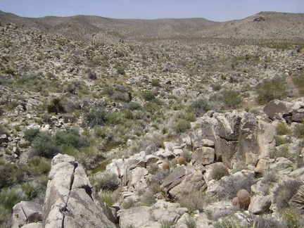 I climb up an adjacent boulder pile at Coyote Springs to start my walk back to the tent 1/2 mile down the road
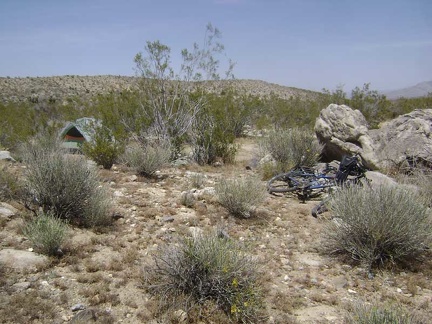 I arrive back at my tent and prepare my backpack for the afternoon hike up to an old mine in the Bighorn Basin area
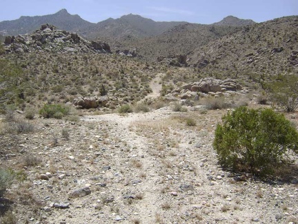 OK, here we go; I've been looking forward to this hike over the hill into the Bighorn Basin area of the Granite Mountains
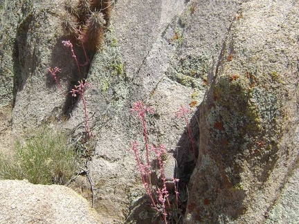 A few desert dudleya grow in the rocks along the old road
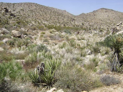 The old road crosses the dry creek here in the grasses and then begins its ascent up the hillside
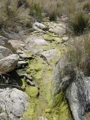 Today, some moisture, mud and algae remain in the otherwise-dry creek at North Coyote Springs
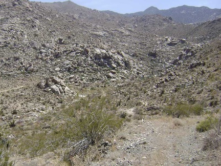 The road rises steeply up from the North Coyote Springs creek; I look behind me to see how much I've risen in such a short time
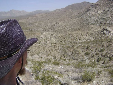 After another steep switchback and a bit more climbing, the views get even better
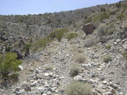 The steepest part of the climb is over for now and the old road switchbacks gently around the crest of the hill on a ledge
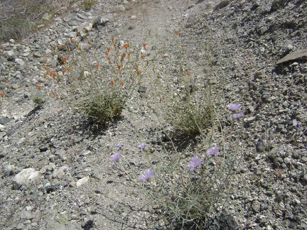 Flowers growing in the middle of the old road
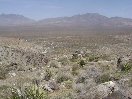 From Hill 1114, I get my last glimpse of the Providence Mountains before I head down into Devil's Playground Wash
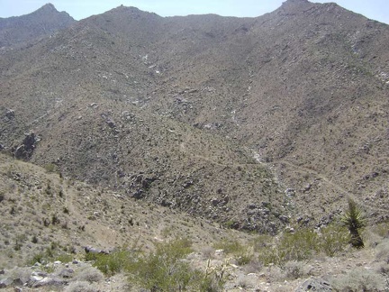 I get my first view down into the gorge of Devil's Playground Wash and the old mining road that rises up the other side
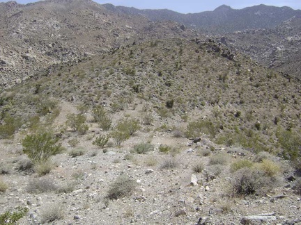 I reach the summit of the old road at "Hill 1114"
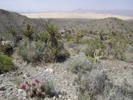 Hill 1114 also offers an excellent view of the Kelso Dunes from above
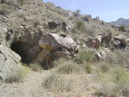 On the way down, but still up high, I pass a mine tunnel that's not indicated on my map
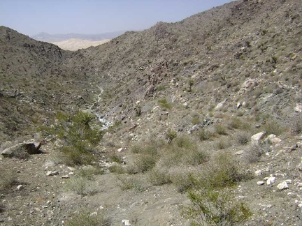 I continue walking down the middle of the old road, which is almost invisible in places
 I arrive at the bottom of the hill in Devil's Playground Wash and look for the road rising up the other side
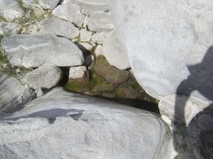 One very small pool of water remains between some rocks in Devil's Playground Wash right now; it's otherwise dry down here
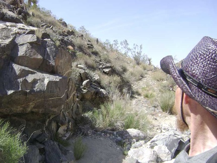 Apparently, a lot of water (and rocks) from the mountains runs down this wash during the wetter months. This must have hindered access to the old mine up on the mountainside.
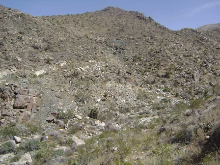 As I climb up the other side, I look over to the hill that I just descended
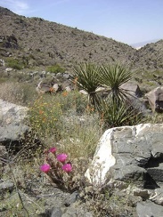 Splashes of color begin to appear as I get a little higher
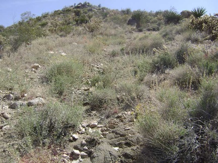 The highly eroded road gets confusing to follow in a few spots
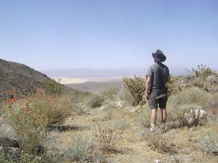 I stop for a break and a Clif bar on a small flat area to take in the view of the Kelso Dunes that has been behind me
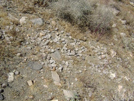 I notice a scattering of scat just behind me
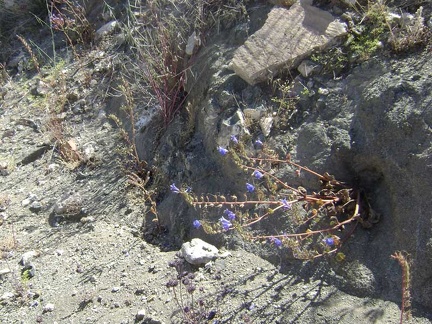 Other splashes of color are provided by the fairly abundant phacelia flowers in the area
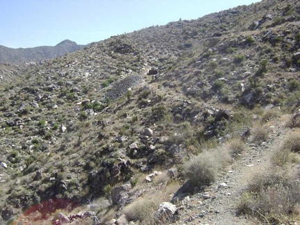 I come around a bend and it looks like the road will end at the mine tunnel and tailings pile ahead
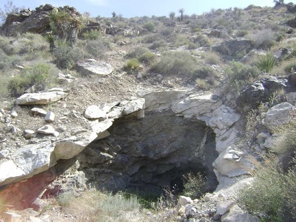 Approaching the tunnel at the Bighorn Basin Mine
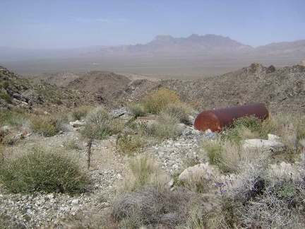 Outside the tunnel entrance on the flat area composed of tailings sits a big tank of some kind
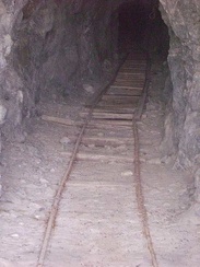 An old track leads into the Bighorn Mine tunnel
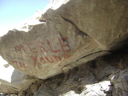 A rock at the entrance to the mine is painted with "Merle Young 74"
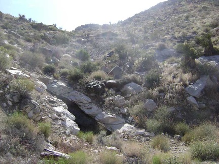 I see the remains of something up on the hill above the tunnel, perhaps an old roof
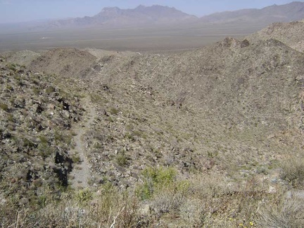 The views were already great, but now I'm way above the main mine road below as I climb the switchback to the upper area
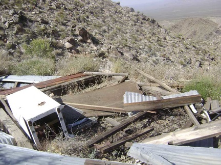 Debris from an old collapsed cabin, including its refrigerator, sits at the top of the road at Bighorn Basin Mine
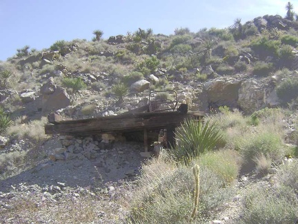 Near the collapsed cabin is a platform in front of another tunnel, which happens to be right above the lower one
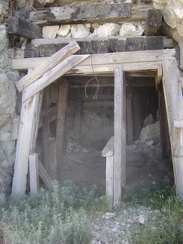 Entrance to the upper tunnel at the Bighorn Basin mine
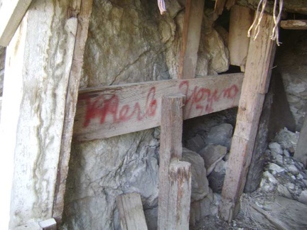 Just inside the upper mine tunnel is another signature from "Merle Young 74"
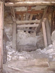 The upper tunnel isn't carved very deeply into the hillside
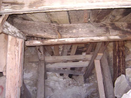 One of the support beams in the ceiling of the upper tunnel has cracked
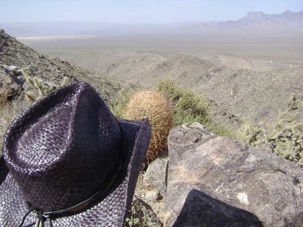 I sit down for a break on a boulder just beyond the upper Bighorn Basin mine and take in the visuals at about 3875 feet
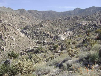 While sitting here, I ponder the view to my right further up Devil's Playground Wash in Bighorn Basin
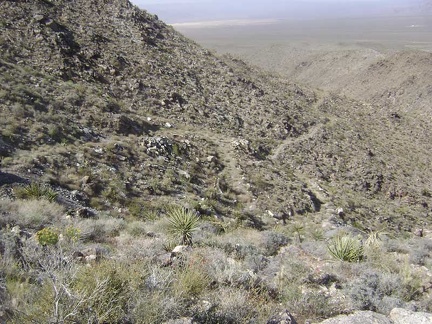 Alas, all good things must come to an end, so I begin my hike back toward camp at the end of my short break