Home 7119

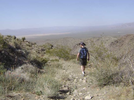 The return hike down into Devil's Playground Wash allows me to walk toward some great views that were behind me on the way up
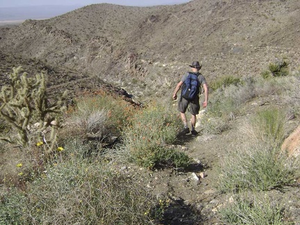 On the steeper, more eroded parts of the road, it's a bit slippery going downhill and almost like hiking cross-country
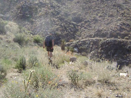 I'm not getting tired of the flowers, rocks and cacti as I walk back down to Devil's Playground Wash
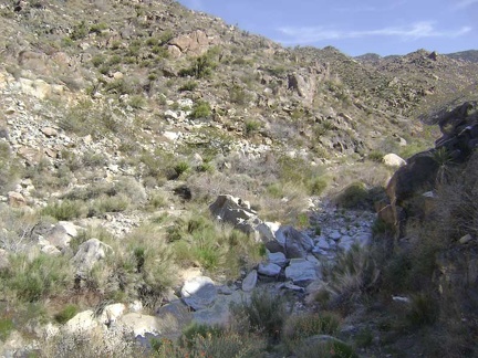 I arrive back down at Devil's Playground Wash in what feels like no time at all
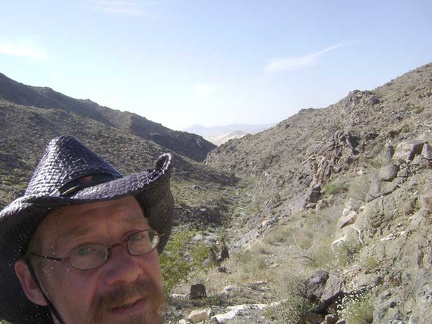 Climbing out of Devil's Playground Wash, I'm starting to feel the heat of the day with the sun shining on my back
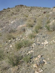 The climb up the old road over the tailings pile is steep
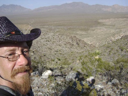 After crossing the summit again at Hill 1114, I take a short break in the first shade of the day before hiking down to my tent
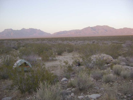 Back at my tent well before sunset, I rest and eat a little, then take a few photos before the sun fades away
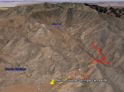 Bighorn Basin Mine hike as viewed in Google Earth (5.25 miles)
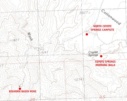 Mojave National Preserve map, Day 5: Bighorn Basin Mine day hike from Coyote Springs
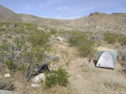 Early morning coffee-making at Coyote Springs, Mojave National Preserve
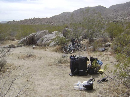 Breaking camp and packing up
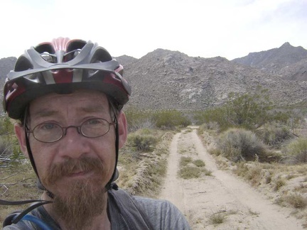 OK, I'm finally on my way down the road away from Coyote Springs
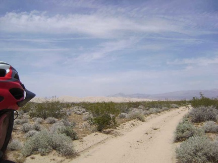 I've got three miles of this somewhat sandy road from Coyote Springs to ride on a slight downhill
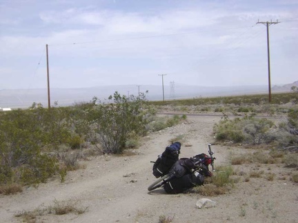 After 30 minutes, I reach the pavement of Kelbaker Road
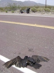 A roadkill specimen greets me just as I'm about to start the ride down Kelbaker Road
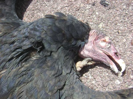 I can't resist taking a closer look at this big bird
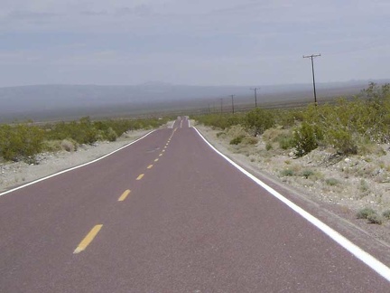 The 8.5-mile descent down Kelbaker Road to Kelso Depot is always fun
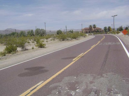 One hour after leaving Coyote Springs, I pull into the Mojave National Preserve visitor centre at Kelso Depot
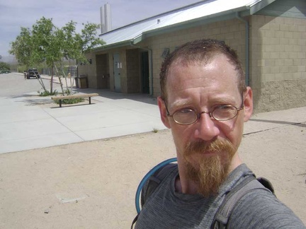 I also visit the washrooms outside Kelso Depot to wet my hair and rinse one of my wool t-shirts and a couple of other items
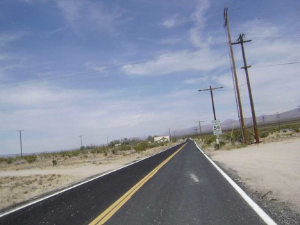 After my 45-minute break at Kelso Depot, I begin the next segment of today's ride: Kelso-Cima Road toward the New York Mountains
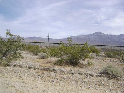 As I climb the Kelso-Cima Road grade, train tracks are always to my right near the road on a raised bed
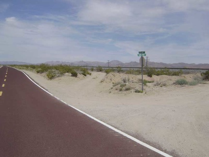 After 3.8 miles, I pass Globe Mine Road, where I camped for three nights a few days ago
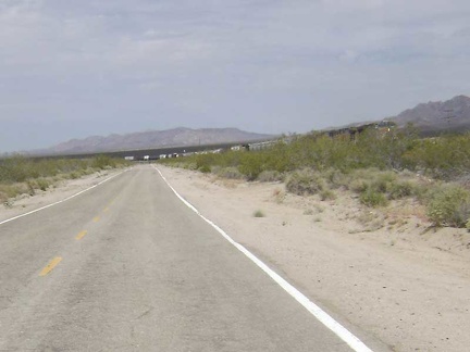 A train just passed me on the Kelso-Cima grade
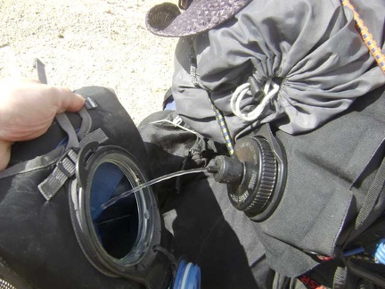 I pull off the road for a short break and to refill my Camelbak from my 10-litre water bag
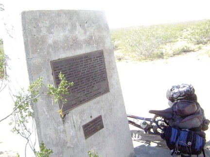 I take another break when I reach the end of my Kelso-Cima Road climb at the junction of Cedar Canyon Road
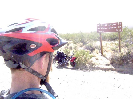 When people come down Cedar Canyon Road, here's the sign that they see when they reach the end at Kelso-Cima Road
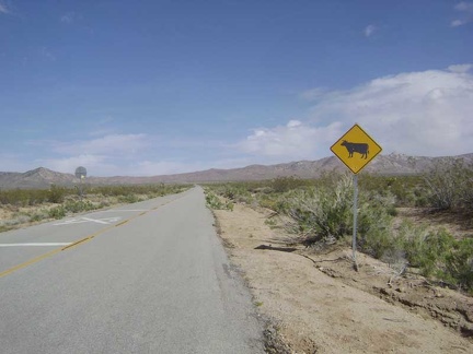 Welcome to Cedar Canyon Road
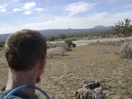 After another half hour, my two-litre Camelbak is empty again, so I take a break at a pull-out along Cedar Canyon Road
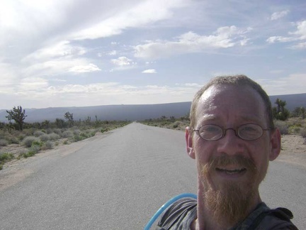 I resume the climb up Cedar Canyon Road and stop to enjoy the view down the road from where I just came
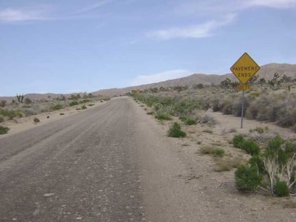 A little higher up Cedar Canyon Road, the pavement ends, just like the sign says
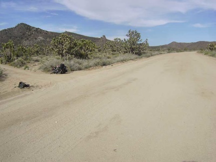 I reach Death Valley Mine Road and turn left here to begin skirting around the west side of the New York Mountains
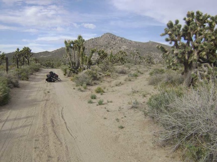 Death Valley Mine Road winds around the base of the mountains
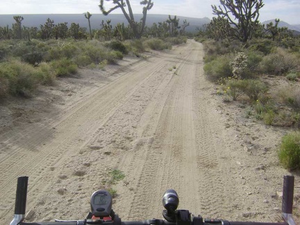 The first mile or so of Death Valley Mine Road is rideable despite some sand on the road because it's a bit downhill
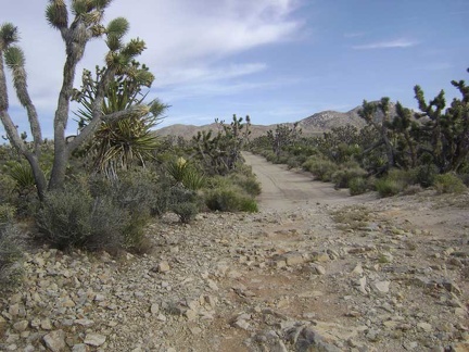 It's not only sand here: rocky patches on Death Valley Mine Road provide quite a contrast to the slippery sandy segments
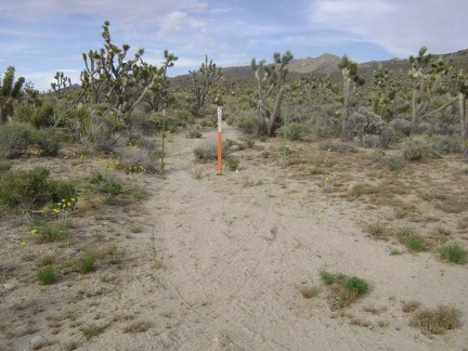 I pass an old road that is now closed by Wilderness barriers
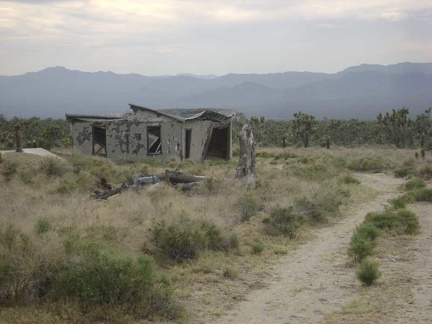 I arrive at the ruins of the old Thomas Place homestead
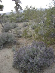 I'm starting to see some blooming sages in this area
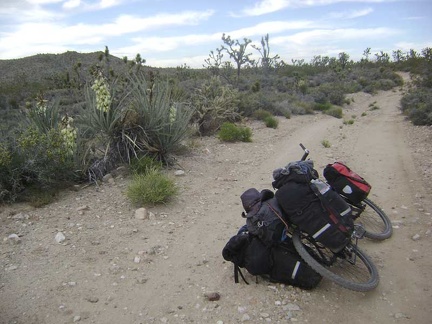 Low-growing banana yuccas are also frequent around here
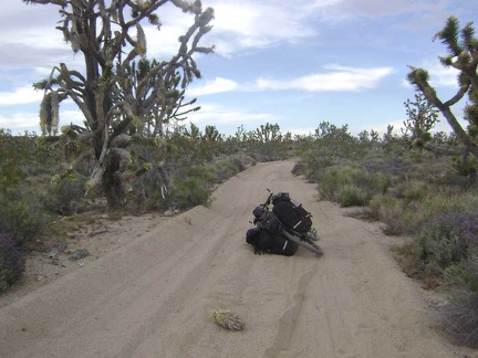 The last mile or two of Death Valley Mine Road is very sandy in places, in addition to being slightly uphill
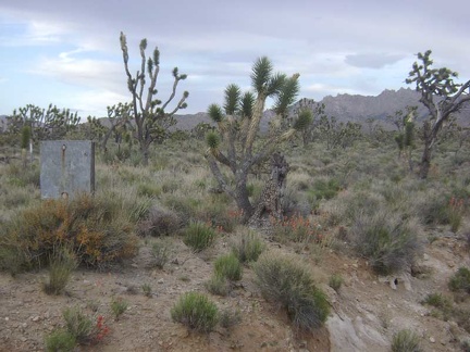 Well, the old sign isn't legible any more
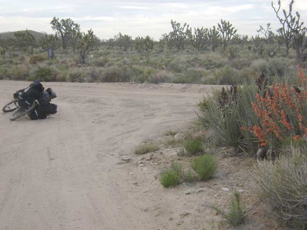 A brilliant display of desert mallow flowers marks the end of Death Valley Mine Road; I'll turn right here on the old Cima Road
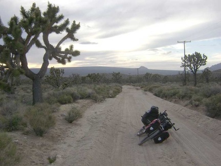 I start dragging the bike up the old Cima Road, which is turning out to be really sandy
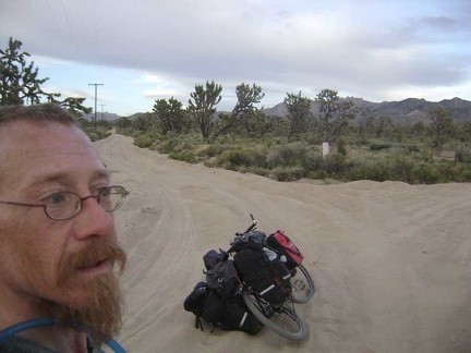 Ugh, the road is getting even sandier
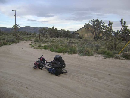 I look across the sand trap here and ponder the abandoned buildings at Death Valley Mine
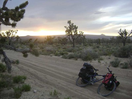 Dragging the 10-ton bike through the sand is quite tiring and I'm expending a lot of energy here
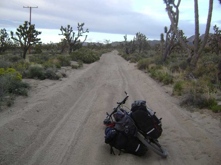 I figure I may as well continue onward a little further and see if the deep sand lets up
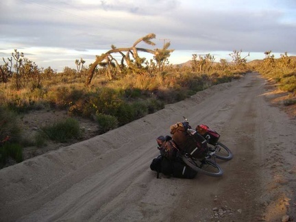 For a few minutes, that famous orange light of desert sunset oozes across the land
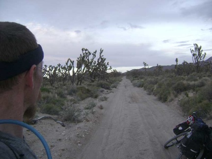 The orange light of sunset vanishes as quickly as it appeared
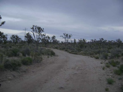 Dusk at the top of Cima Road
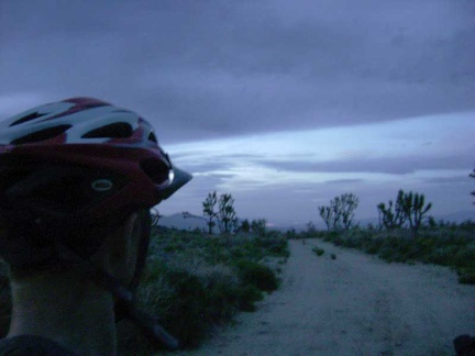 On the last leg of the trip toward Butcher Knife Canyon, I can actually ride some of the road
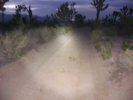 It's too dark now, so I ride and walk the final couple of miles slowly by headlight
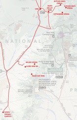 Mojave National Preserve map, Day 6: Coyote Springs to Butcher Knife Canyon corral
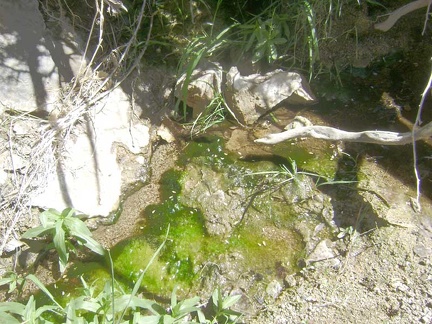 The meagre stream contains as much algae as it does water
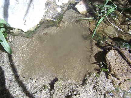 The stream is too shallow to pump water from it, so I dig a small depression to accept the intake hose of my water filter
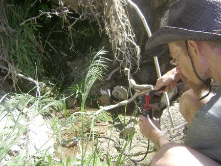 Filtering water from Cottonwood Spring, Mojave National Preserve
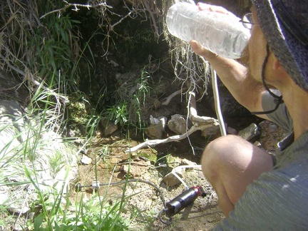 Successful taste test of the water at Cottonwood Spring, Mojave National Preserve
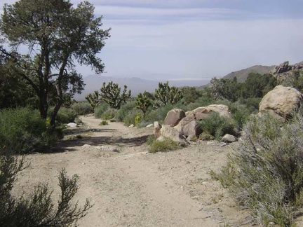 The proud deed of pumping water completed, I begin my walk back down Cottonwood Canyon and toward Butcher Knife Canyon
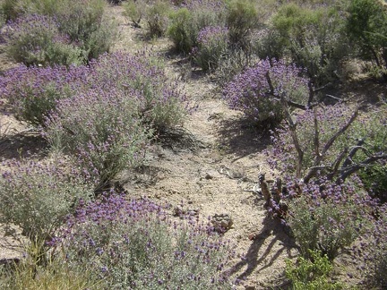 Lots of purple salvia dorrii flowers in this area
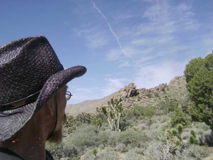 I leave the road and begin hiking cross-country to the Butcher Knife Canyon area, about a mile away
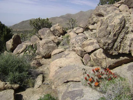 I scramble over a few rocks on the way to Butcher Knife Canyon
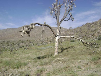 Burned joshua tree near Butcher Knife Canyon, Mojave National Preserve
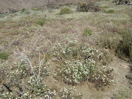 For some reason, this meadow near Butcher Knife Canyon is resplendent with small white flowers
 As I get closer to Butcher Knife Canyon, I note some piles of mine tailings on the hillside in the distance
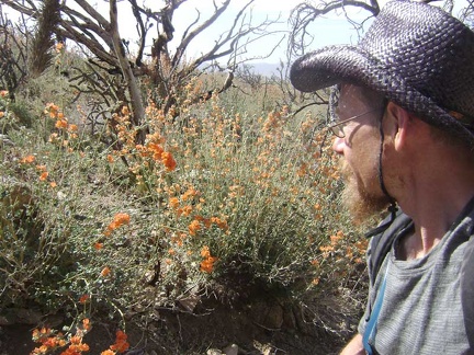 On the way up to the mine tailings, I cross a drainage with profuse desert-mallow blooms
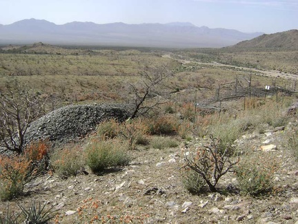 Above the piles of tailings at the Butcher Knife Mine
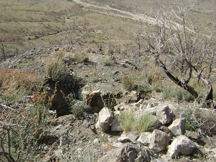 Just above the lower mine at Butcher Knife Canyon is another big hole in the ground
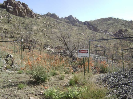 Danger! Hazardous mine
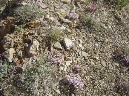 Many flowering phlox are found in this area
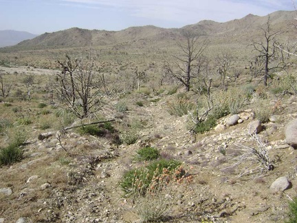 I walk down to the wash of Butcher Knife Canyon on the remains of the old mine access road
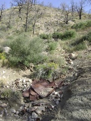 Some assorted old debris and cans are scattered near the wash
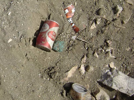 Some of the debris here isn't all that old
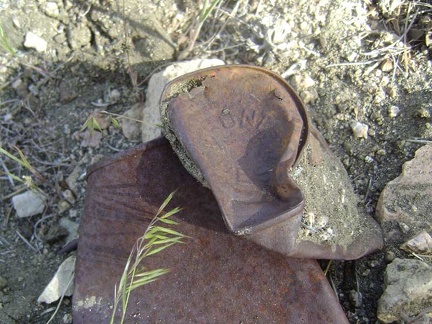 An old Hunt's can
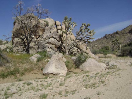 A boulder pile and joshua trees greet me as I arrive at Butcher Knife Canyon wash
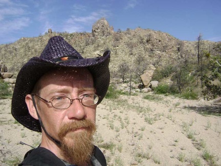 Hiking up Butcher Knife Canyon, Mojave National Preserve
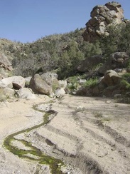 I spy a stream in Butcher Knife Canyon
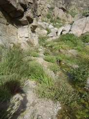 Yup, it's a stream
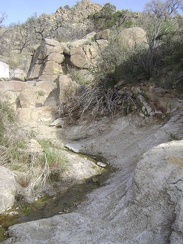 The stream in Butcher Knife Canyon looks like it might not go much further
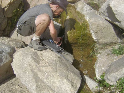 Just around the bend, I locate Butcher Knife Spring and get to the business of pumping some water into my near-empty Camelbak
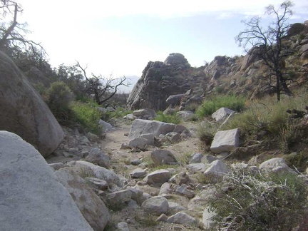 I'd like to hike further up the canyon and over the hill to the other side of the New York Mountains if I had time
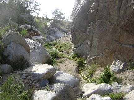 A rattlesnake startles me as I approach this big boulder along the Butcher Knife Canyon stream
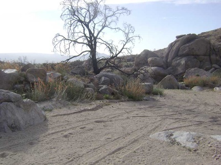 The excitement of the rattlesnake incident behind me, I return my focus to the hike away from Butcher Knife Canyon
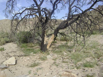 Many burned pine cones are scattered on the ground around here
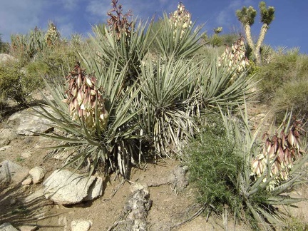 Colonies of flowering banana yucca populate some of the walls of the wash below Butcher Knife Canyon
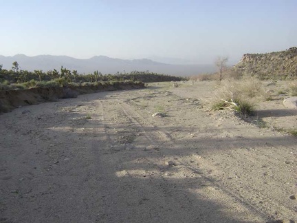 I'm still walking down the wash away from Butcher Knife Canyon, mindlessly, enjoying the scenery and the sunshine
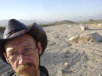 Hmmm... there are no more tire tracks in the wash here; where did they go, and where is the road that I was on?
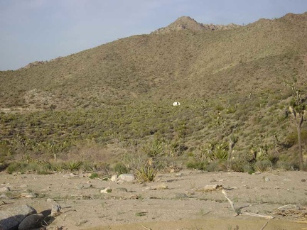 To my right is an old trailer on a hillside that I'm not expecting to see, so I start hiking cross-country toward my tent
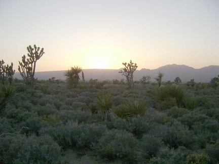 I'm hiking briskly cross-country in the hope of crossing before dark the Cottonwood Canyon Road that will lead me to my tent
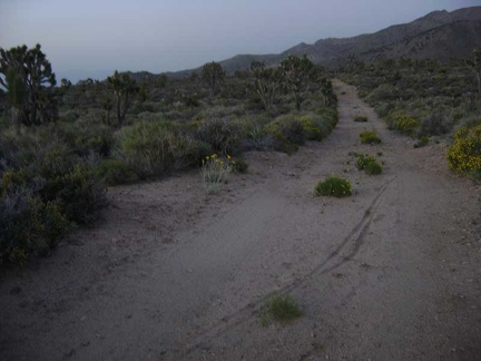 After almost an hour of cross-country, I cross the old road at dusk and realize that I've overshot my campsite by about a mile
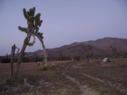 Ahhh, back at camp by Butcher Knife Corral and there's still a hint of daylight remaining; such perfect timing
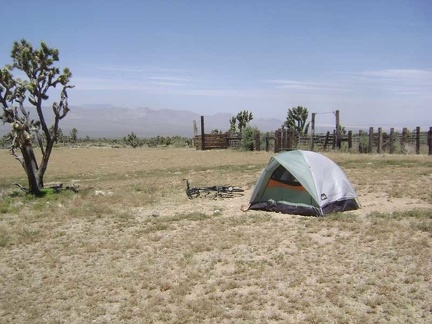 After sleeping in late and a quick breakfast, I go for a short walk around my Butcher Knife Canyon campsite to see it by day
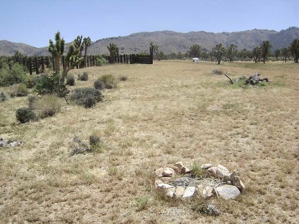 A bit down the fan sits a fire ring next to which I was going to set up camp last night until I noticed goathead thorns all over
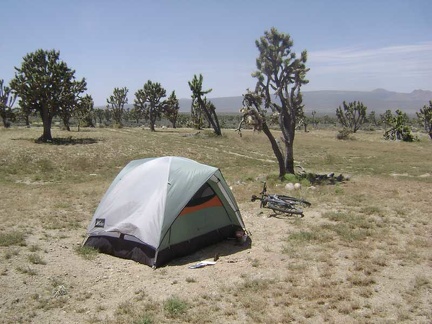 This campsite is actually two miles down the wash from Butcher Knife Canyon, not in the canyon itself
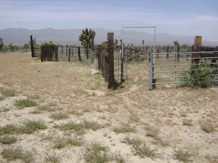 It's time to check out the old corral here below Butcher Knife Canyon
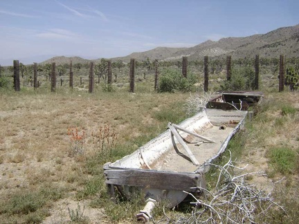 Old cattle-watering trough in the abandoned corral below Butcher Knife Canyon, Mojave National Preserve
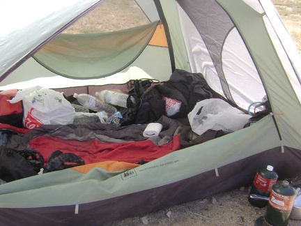 I pluck a few items out of the mess inside my tent and stuff them into my backpack for the day's hike
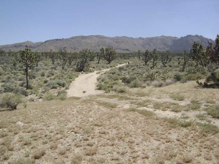 I begin the hike up the road to Cottonwood Canyon and Cottonwood Spring, at the base of the New York Mountains
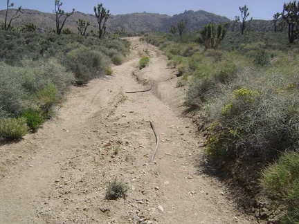 Erosion on the old road to Cottonwood Canyon has exposed some old rubber piping that had been buried under the road
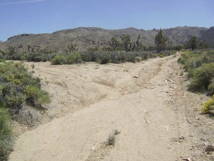 A mile north of my campsite is "the fork" in the road to Cottonwood Canyon and Butcher Knife Canyon
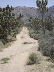 The joshua tree forest gets denser as one gets closer to Cottonwood Canyon at the bottom of the mountains
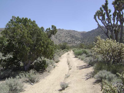 10 minutes later, as I approach the base of the New York Mountains, lush juniper trees like the one on the left begin to appear
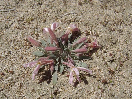 Desert primrose
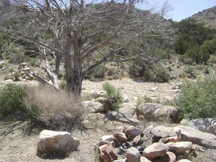 A pull-out on the road to Cottonwood Canyon reveals a nice camping area complete with a fire ring
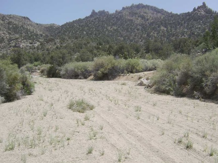 After exploring the campsite area, I return to the main road toward Cottonwood Canyon
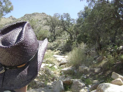 Here I am starting up Cottonwood Canyon at the base of the New York Mountains, Mojave National Preserve
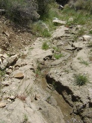 Awesome: a tiny stream in Cottonwood Canyon, Mojave National Preserve
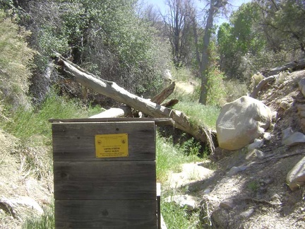 I reach an old wooden box which houses a camera that takes photos of wildlife
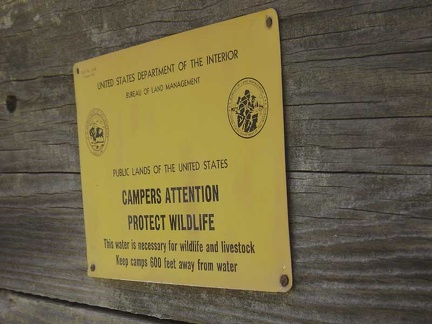 Old sign on the wilderness-camera box at Cottonwood Spring
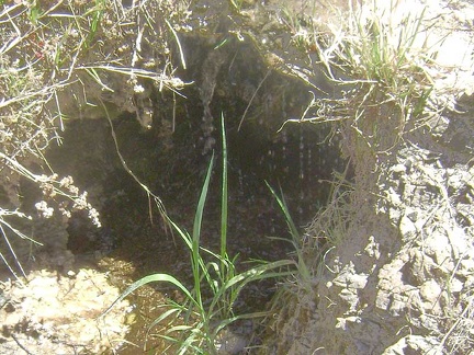 Apparently, this dripping water is the source of Cottonwood Spring
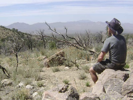 There doesn't seem to be more water to discover in Cottonwood Canyon, so I climb up a small hill for a break with nice views
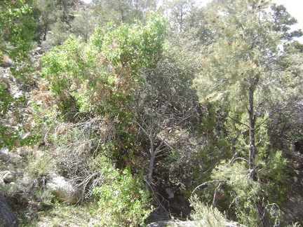 Cottonwood Spring is aptly named since this cottonwood tree lives here
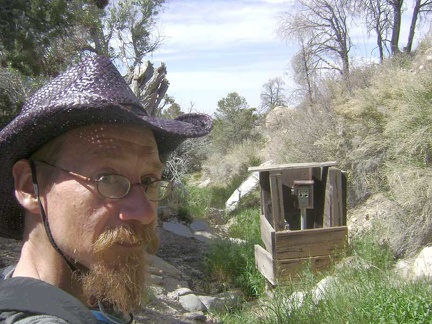 I walk back down to Cottonwood Spring to filter some water
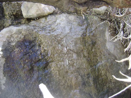 The water that drips out from under the tree roots at Cottonwood Spring flows over this rock as a clear shiny film
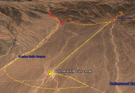 Butcher Knife Canyon hike as viewed in Google Earth
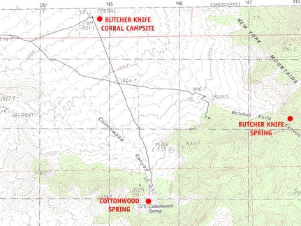 Mojave National Preserve map, Day 7: Day hike to Cottonwood Spring and Butcher Knife Spring for water
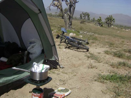 I heat up a boil-in-bag Indian-style breakfast, happy that my tent survived last night's wind storm
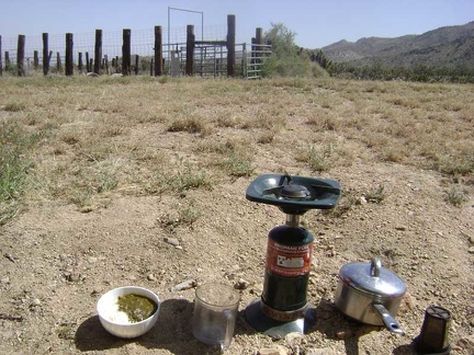 After two cups of good strong coffee, my Tasty Bite spinach dal and rice breakfast is ready; mmmm
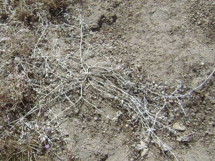 Puncture vine, I hate you: here's one of the many nondescript goathead (puncture vine) plants that cover this meadow
 One other unavoidable item around the Butcher Knife corral is small droppings
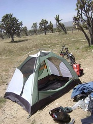 Almost everything is packed up now, so it's time to take the tent down and make departure from Butcher Knife Canyon official
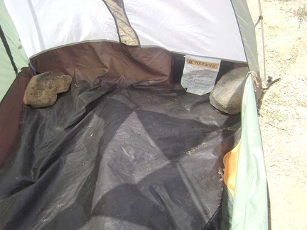 I begin dismantling the tent by removing the large rocks that I placed inside at the corners
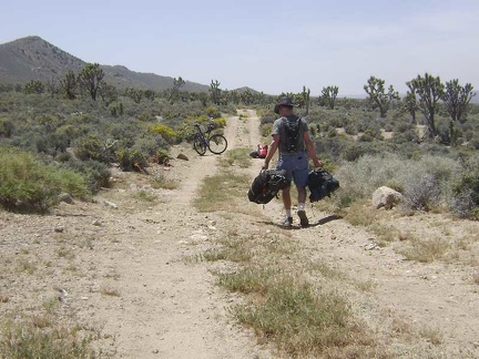 I assemble the 10-ton bike just beyond the goathead-infested meadow at the Butcher Knife corral
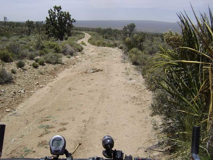 I ride down the Butcher Knife Canyon road, satisfied that I've managed to leave my campsite by 13h
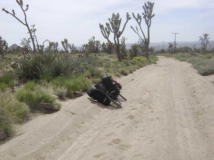 The last mile or so before Death Valley Mine in the sand trap is tough again, so I drag the bike through parts of it
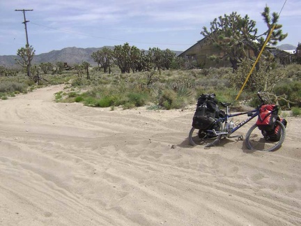 After 4.5 miles, I stop for a short break at the old Death Valley Mine site at 4400 feet elevation
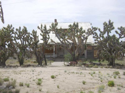 The front of the old house at Death Valley Mine has a row of joshua trees planted in front of it
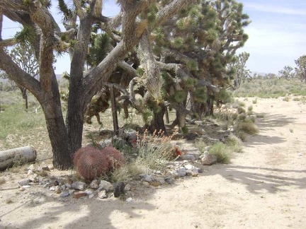 At the base of the joshua-tree grove are rocks and a few other native plants
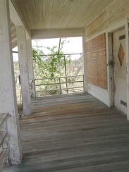 Front porch of the Craftsman house at Death Valley Mine, Mojave National Preserve
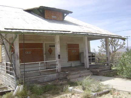 Approaching the front door of the old house at Death Valley Mine
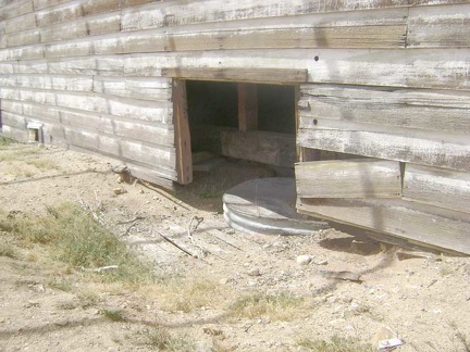 The house is very warped, and a glance inside one of the "basement windows" explains why
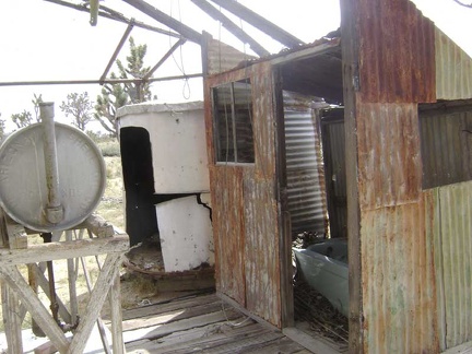 Behind the house at Death Valley Mine is a tank presumably for stove and furnace oil, and an exterior bathtub room
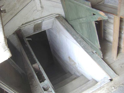 Vandals have removed the boards off the back door, so I walk in and see old stairs to the basement
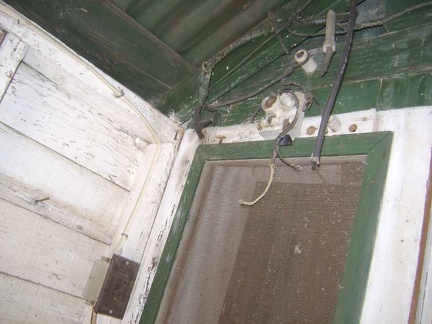 Old knob-and-tube wiring once provided power to the light fixture outside the rear porch door
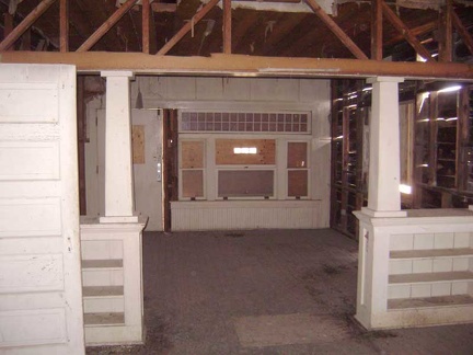 Inside the old Death Valley Mine Craftsman house
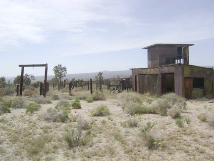 Behind the main house at Death Valley Mine are an old corral and a big shed
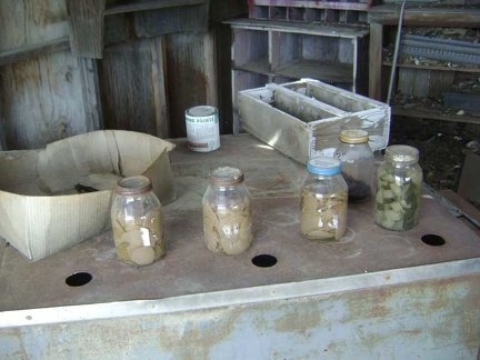 Pickles! In addition to some old paint cans and wood trim pieces, some old bottles of home-made pickles are in the shed...
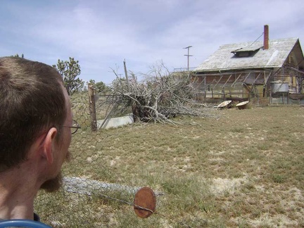 The back side of the main house at Death Valley Mine viewed from the corral
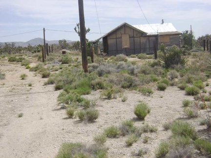 Just beyond the main house at Death Valley Mine is a second, smaller house
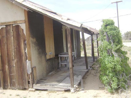 The decaying front porch of Death Valley Mine house #2
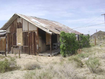 Death Valley Mine house #2 also has drought-tolerant vines growing in front of it
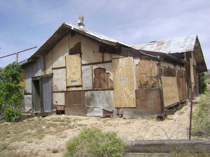 Rear of Death Valley Mine house #2
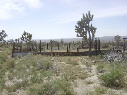 The walls around the corral out back send a prominent "keep out" message
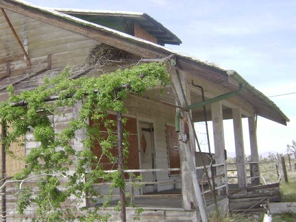 A big raven's nest sits in the eaves of the main house at Death Valley Mine
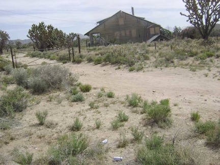 I walk up the road to the old house at the Death Valley Mine site
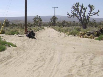 I return to the 10-ton bike in the sand trap on the old Cima Road
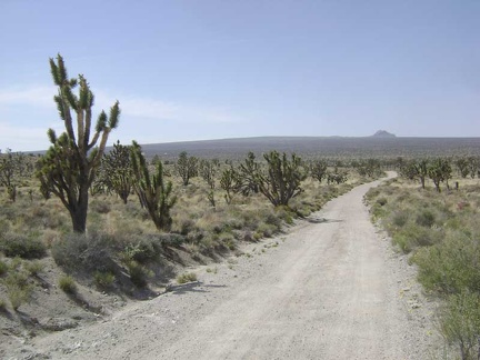 I ride down the old 2.5-mile-long road toward Cima, my next stop
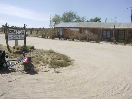 I reach the junction of the paved Kelso-Cima Road and stop in at the Cima Store
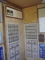 Postal boxes inside the old post office at Cima, California, Mojave National Preserve
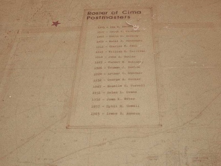 Mounted on the map is a roster of the postmasters of the Cima post office here since 1905, printed by typewriter
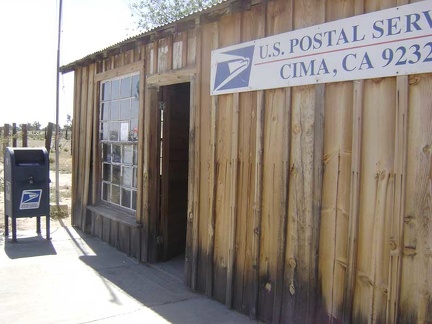 The post office is closed, but the lobby is still open
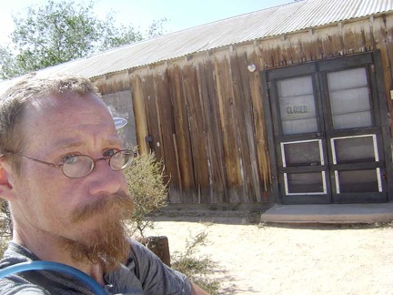 Indeed, the Cima Store is closed
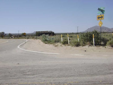 I end my 15-minute break at Cima and get the 10-ton bike and I back on pavement at Cima Junction
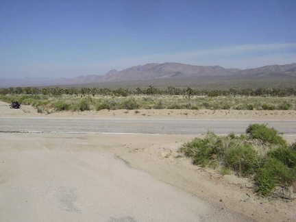 At the start of the long ride down Morning Star Mine Road, I stop to look up toward Butcher Knife Canyon
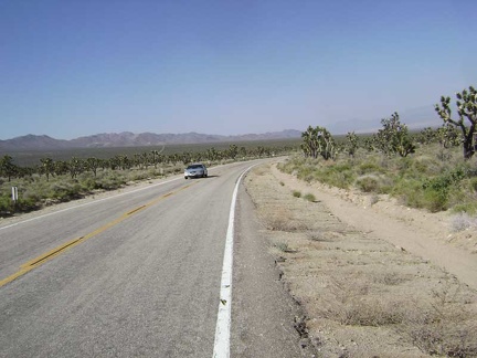 After the big curve coming up, the fun hill down Morning Star Mine Road will begin
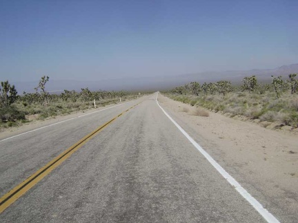 Wheeeeee, Morning Star Mine Road descends into the Ivanpah Valley and the haze of the day
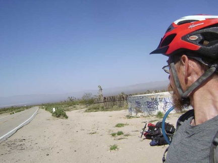 I stop briefly at the old corral on the way down Morning Star Mine Road
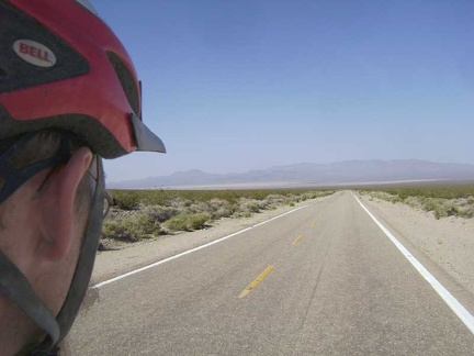 Back on pavement, the 10-ton bike and I fly gracefully down Morning Star Mine Road
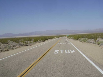 Darn: "stop ahead," complete with skid marks on the pavement
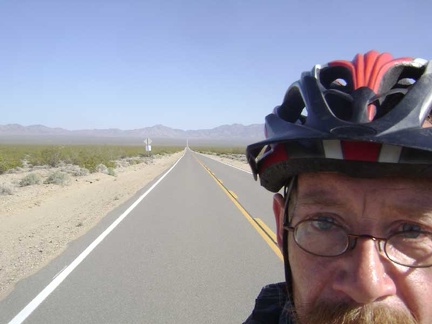 For three miles, I skirt the western edge of Ivanpah Valley on the paved Ivanpah Road
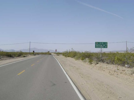 Ivanpah Road ends
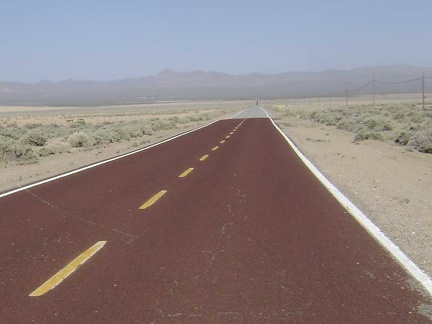 The final seven miles to Nipton crosses the dusty bottom of Ivanpah Valley
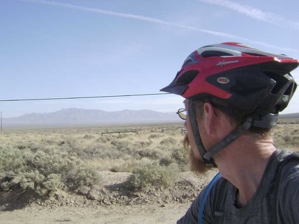 The scrub at the bottom of Ivanpah Valley is different from most areas in Mojave National Preserve
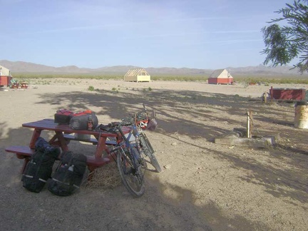 The small campground at Nipton, with New York Mountains in the background, is almost empty tonight, which suits me just fine
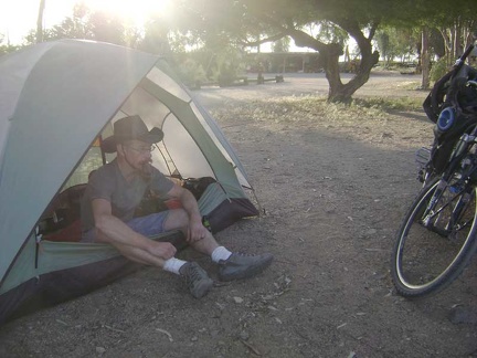 After setting up camp, I sit down with a couple of cold beers from the store, enjoy the sunset and listen to the passing trains
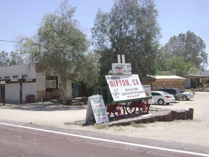 I reach Nipton around 17h15 and check in at the general store for a tent-camping site
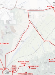 Mojave National Preserve map, Day 8: Butcher Knife Canyon corral to Nipton
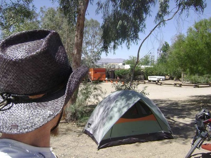 For a change, my first concern of the morning is not boiling water for coffee or digging a cat hole
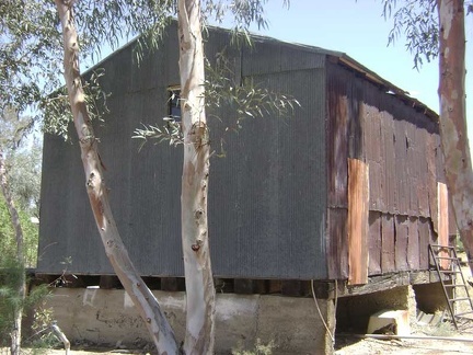 I haven't chosen a destination yet for today's ride, so I go for a walk to look at some of Nipton's buildings
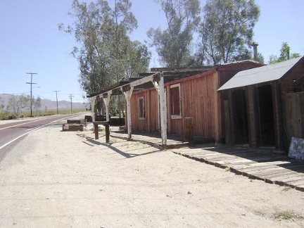 This old roadside building at Nipton looks like it may have been a store at one time
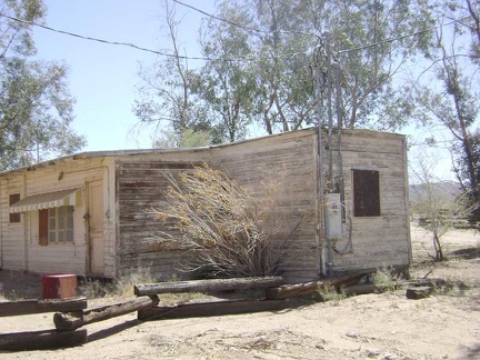 This trailer-like building looks to be a former residence
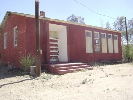 The old Nipton school house is a building worth saving
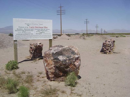 Just across the road from the Nipton General Store along the train tracks is a rock and gravel display yard
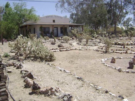 The Hotel Nipton bed-and-breakfast cactus garden is always worth a walk-through
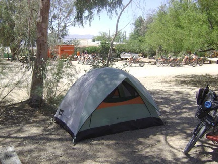 While in my tent choosing my afternoon ride, the dirt-bike tour group members arrive at Nipton in a cloud of noise
 OK, I've finally chosen a ride route for today on the power-line road above Nipton, starting at the Nevada border
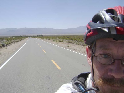 I start the climb up the hill away from Nipton toward the Nevada border
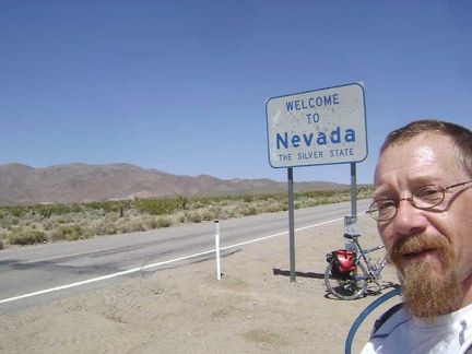 Three miles up the hill of Nipton Road, I reach the "Welcome to Nevada" sign that makes a perfect tourist photo
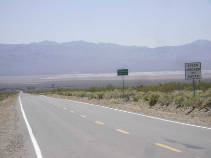 The views back down to Nipton and across Ivanpah Valley from the Nevada State line are superb
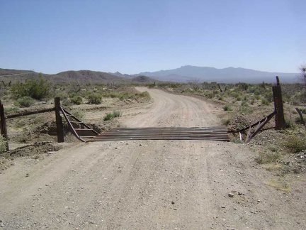 I ride another half mile beyond the Nevada State line and then turn south on this dirt road with a cattleguard
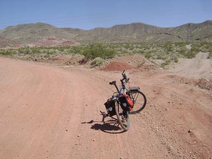 I see that I'm approaching a mining area with red soil that is not on my map and may still be active
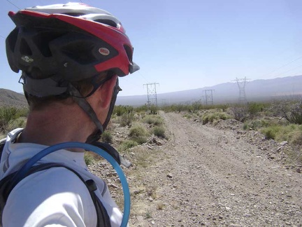 Here I am at the top of the gravelly power-line road, and I'll descend this road about four miles to the train tracks
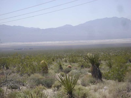 Nipton is still visible a few miles away down below
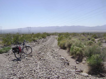 Loose rock is the dominant surface on the upper portion of the power-line road
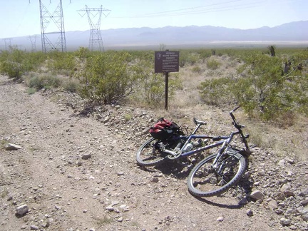 I pass one of those little "Entering Mojave National Preserve" signs that are used on less-travelled routes
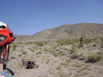 I notice a Wilderness marker and a closed road
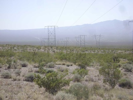 Off in the distance further down the power-line road, I see wafting trails of dust
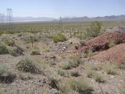 Up the closed road, I come across small piles of mine tailings
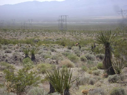 Now the dust trails from the dirt bikes are soaring across the Ivanpah Valley below
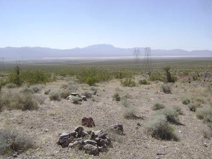 A fire ring up above the mine tailings doesn't look like it has been used in quite a while
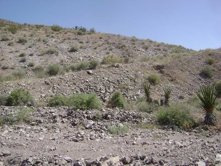 The remnants of an old road climb a little further up the hill
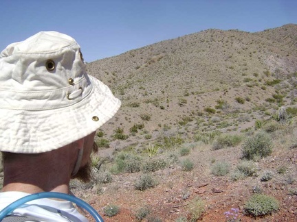 The road ends at the top of the hill where the soil is a rich red color
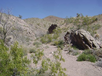 This little canyon feels very remote even though it's not far from the busy road
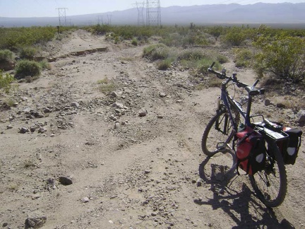 More rough road along the power lines above Nipton
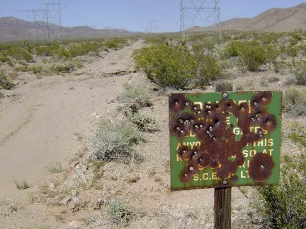 This antique sign has seen better days
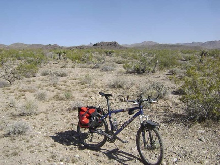 A little further down the power-line road, a distant black hill gets my attention
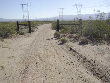 At the bottom of the hill, the power-line road passes through an old ranch fence
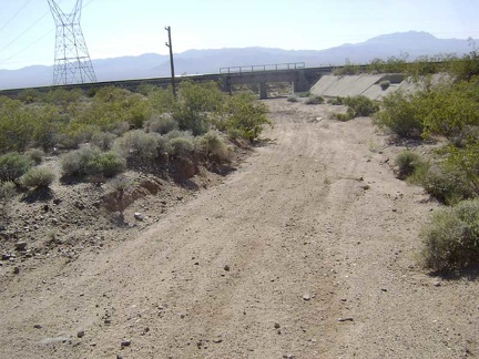 The power-line road goes right under the train tracks
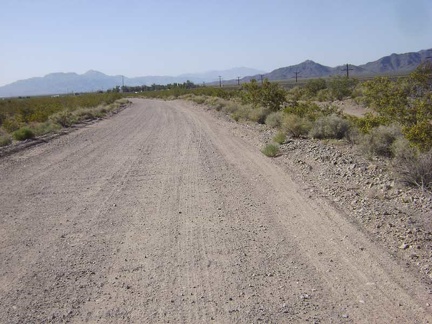 I ride the Nipton-Brant Road two miles along the train tracks to get back to Nipton
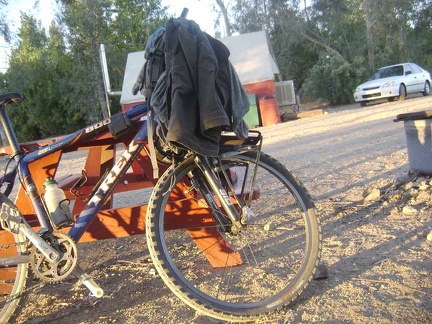 Resting at my tent at Nipton: the pinkish glow of the desert sunset is always a welcome end of the day
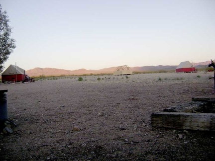 Some of that pink light spills across the hills in the background that I visited this afternoon