Home 7119

 It's a steep 600-foot drop from Wild Horse Mesa down to Bluejay Mine and my bike
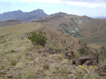 I climb up onto Wild Horse Mesa and revel in the views toward Beecher Canyon and Providence Mountains
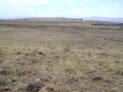 Looking south across Wild Horse Mesa, Mojave National Preserve
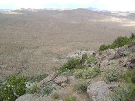
 Looking southwest across Wild Horse Mesa, the plateau drops off into the southern end of Beecher Canyon
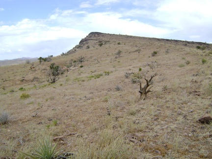 My maps indicate that the summit of Wild Horse Mesa is only a half mile northeast, so I start walking that way
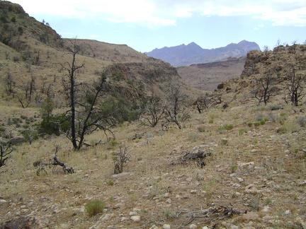 Last chance to spontaneously change my route and walk straight ahead down Beecher Canyon...
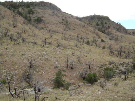 I cross the juniper-studded drainage that is Beecher Canyon's "headwaters" and begin the climb up to Wild Horse Mesa
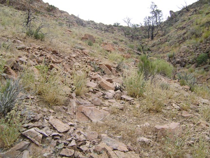 It's only a quarter mile up to the Wild Horse Mesa plateau, but it's a steep 300 feet elevation gain
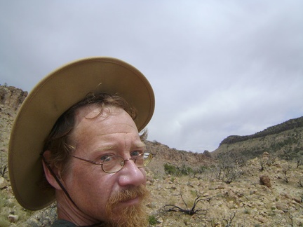 The Mojave storm clouds have brought high winds that try to blow the hat off my head
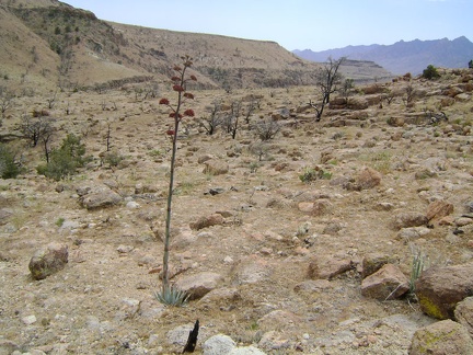 I watch an agave on my way down toward Beecher Canyon
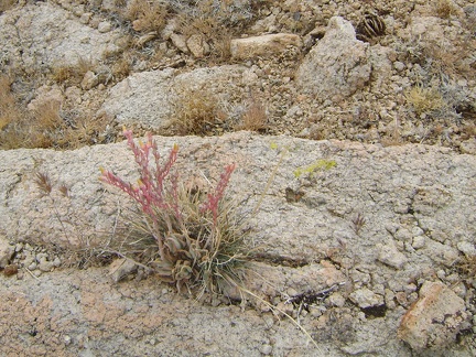 Desert dudleya growing in rock on the way down toward Beecher Canyon, Mojave National Preserve
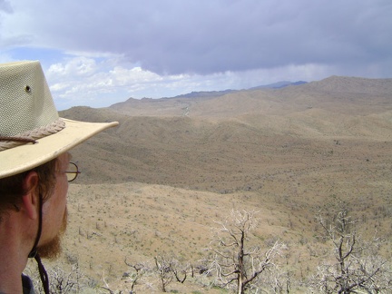 I pack my backpack and hike up the steep hill above Bluejay Mine and the Winkler's Cabin site
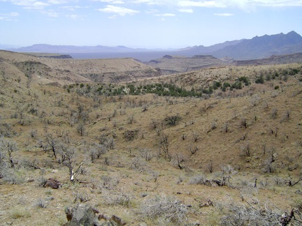 Atop the ridge, it's exciting to look over the other side to a world where it appears that man rarely visits
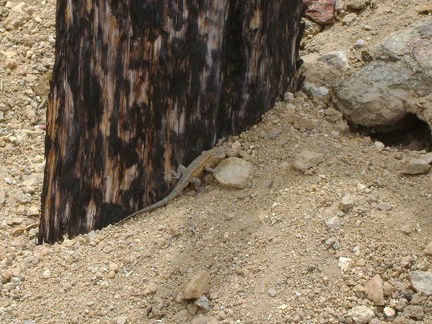 A lizard scurries along a burned timber outside the entrance to the Bluejay Mine, Mojave National Preserve
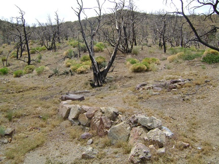 This low rock wall looks like it may be the remants of a foundation, or maybe it's just a retaining wall for a former garden
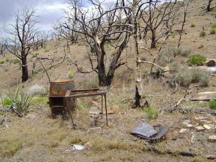 Debris at the burned Winkler's Cabin site at the end of Bluejay Mine Road, Mojave National Preserve
 The entrance to the old Bluejay Mine appears to have been recently rebuilt with fresh wood
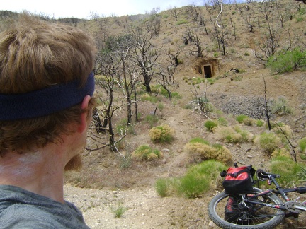 I come around a bend and realize I'm at the end of the road, looking at the Bluejay Mine site
 Out here in the middle of nowhere, I stumble upon a memorial plaque dedicated to James Winkler
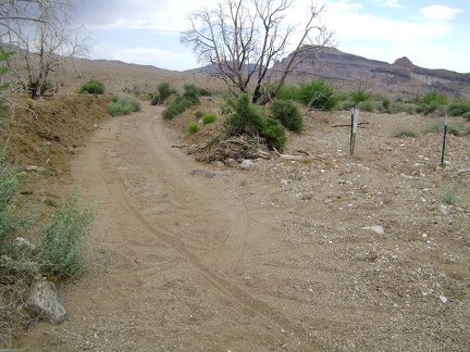 Bluejay Mine Road enters a wash and I look at the tracks I've carved behind me
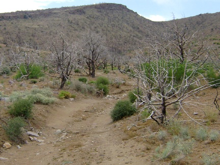 The fearful motorists were correct; Bluejay Mine Road does worsen, as most dead-end desert tracks do
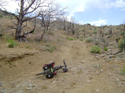 Bluejay Mine Road rises out of the wash, sort of, but is really bumpy, and a bit uphill, so I'm now walking more than riding
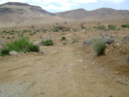 Bluejay Mine Road appears to my right about six miles from Mid Hills campsite 22, at about 4740 feet elevation
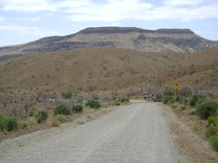 Wild Horse Mesa, the target of today's hike, is the flat-topped formation ahead
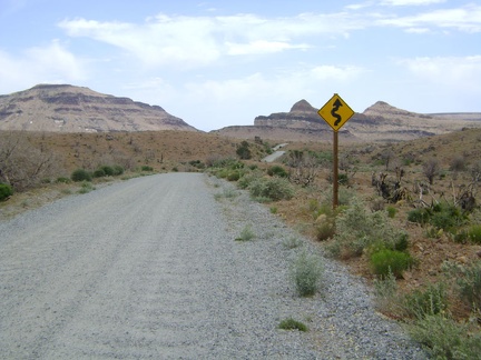 Wild Horse Canyon Road continues its twisty-windy descent, which is getting flatter
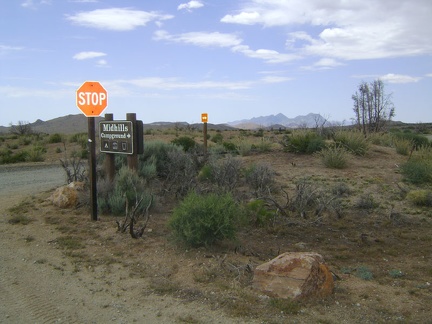 3/4 mile from campsite 22, I exit Mid Hills campground and turn right to start descending Wild Horse Canyon Road
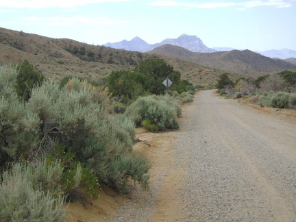 Wild Horse Canyon Road is one of my favourite mountain-bike rides in Mojave National Preserve
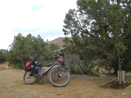 I get ready to leave Mid Hills campground for a ride down Wild Horse Canyon Road
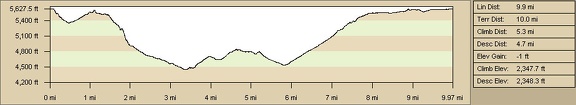 Mid Hills campground to Wildcat Spring and Chicken Water Spring hiking route elevation profile (Day 4)
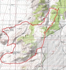 Mid Hills campground to Wildcat Spring and Chicken Water Spring hiking route map (Day 4)
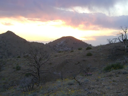 I enjoy watching the sun go down behind the hills in the Eagle Rocks area
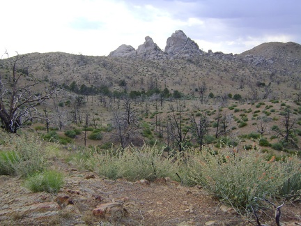 Nice views of Eagle Rocks again as I get close to reentering Mid Hills campground
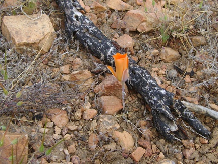 And a mariposa lily...
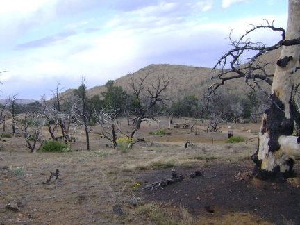 My short cross-country hike comes to an end when I reach the road through Mid Hills campground
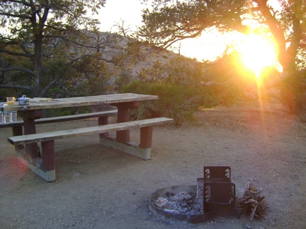 Back at Mid Hills campground site 22 after today's hike to Eagle Rocks and Wildcat Spring
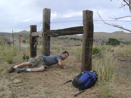 I crawl under a barbed-wire fence so I can walk up Wild Horse Canyon Road
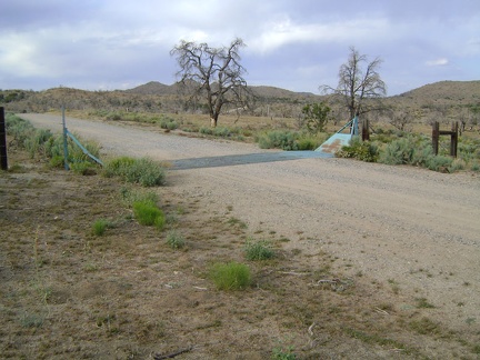 I walk up Wild Horse Canyon road and cross a cattle guard
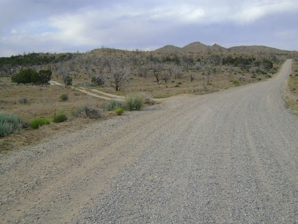 I decide to follow the small dirt road to my left instead of staying on the main road back to Mid Hills campground
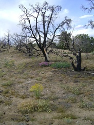 After a 1/4 mile on the dirt road, I begin heading cross-country through the partially burned desert forest
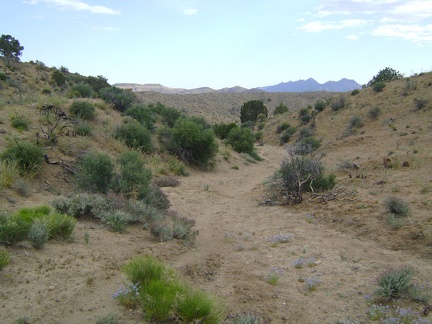 I walk the final 1/2 mile up from Silver Lead Spring to Wild Horse Canyon Road at 5500 feet elevation
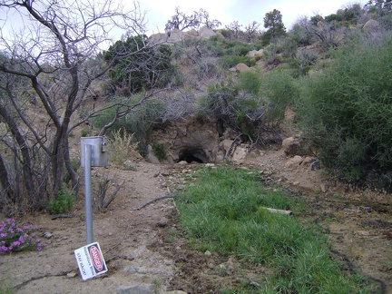 Silver Lead Spring: I almost missed it, but here it is on a small hill just above the wash
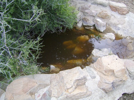 Just to the east of the main part of Silver Lead Spring is an old conrete-and-rock retainer
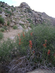 Firecracker penstemon (Penstemon eatonii) in the wash below Silver Lead Spring
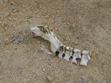 Bones in wash near Silver Lead Spring, Mojave National Preserve
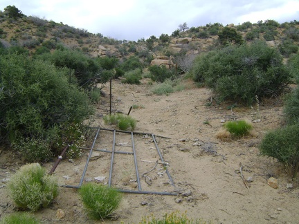 A broken-down gate near Silver Lead Spring
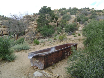 I stumble across an old rusty water trough near Silver Lead Spring, Mojave National Preserve
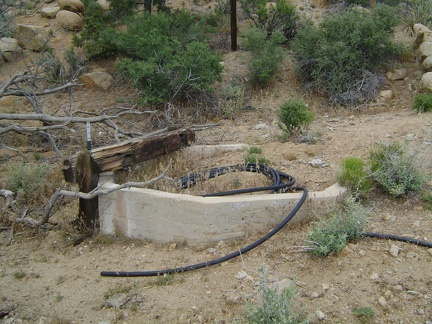 Here's an old concrete cistern near Silver Lead Spring
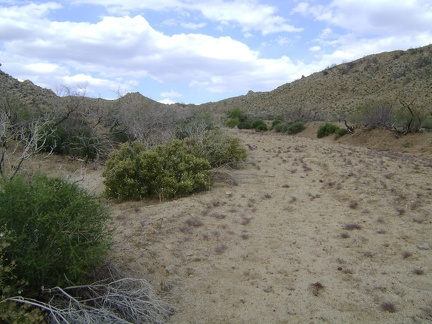 I continue walking up the wash toward Silver Lead Spring and Wild Horse Canyon Road
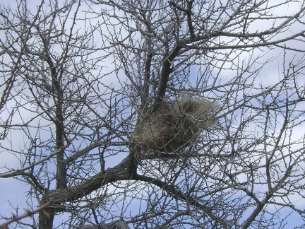 I pass a meticulously contructed bird's nest in the wash on the way up to Silver Lead Spring
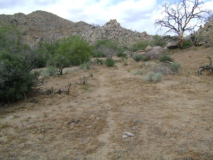 The wash leading up to Silver Lead Spring and Wild Horse Canyon Road is wide
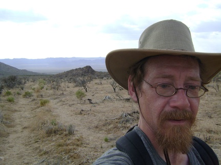 I start hiking up the wash that will pass Silver Lead Spring on the way up to to Wild Horse Canyon Road
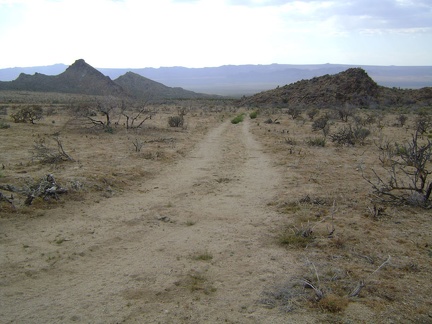 After Chicken Water Spring, I look for an uphill wash on my left that will take me up to Wild Horse Canyon Road
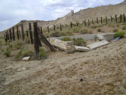 A broken-down brick cistern sits in the corral at Chicken Water Spring, Mojave National Preserve
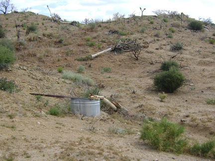 Chicken Water Spring, to my surprise, drips into this shiny, new steel basin
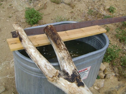 The basin at Chicken Water Spring is mostly full, though the water may not be the freshest
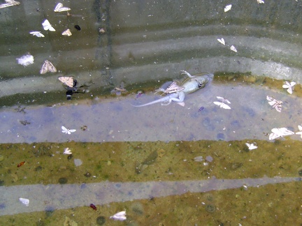 I don't mind the dead moths in the Chicken Water Spring basin, but the dead lizard makes the water less appetizing
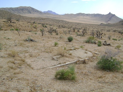 An old foundation near the end of Chicken Water Spring Road
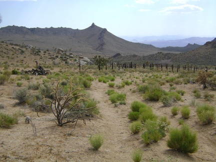 Chicken Water Spring Road is quite indistinct here and doesn't look like it has been driven often in recent years
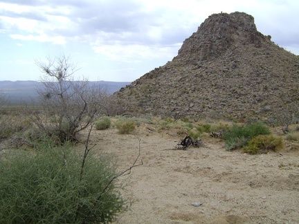 A stark pinnacle just south of Coyote Spring on the way to Chicken Water Spring
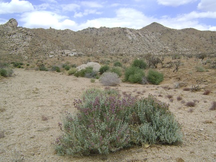 Chicken Water Spring is off to my right, but I decide to walk straight ahead for a short loop around this end of the valley
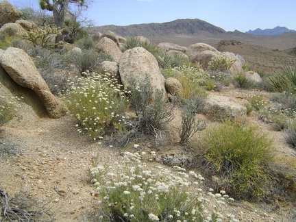 Many buckwheats are still flowering up on this ridgelet between Coyote Spring and Chicken Water Spring
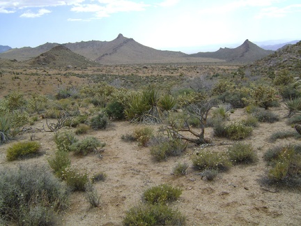 The descent into the valley of Chicken Water Spring is so short and easy that it's almost not a descent
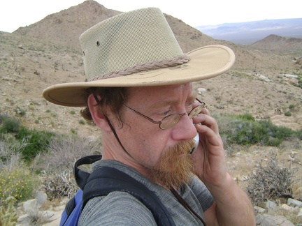 I climb up the hill above Coyote Spring and try my cell phone
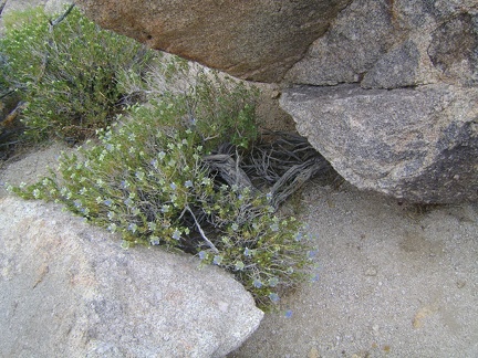 Small blue flowers peer out from between some rocks on the ridge between Coyote Spring and Chicken Water Spring
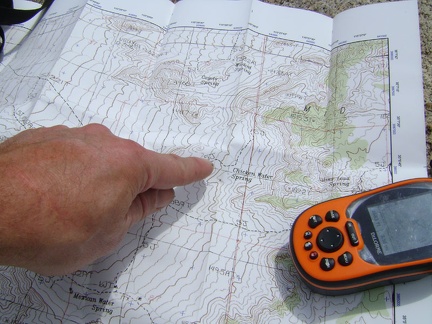 Map and GPS check at the the top of the low ridge 200 feet above, and just south of, Coyote Spring
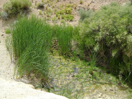 Wildcat Spring is not completely dry, yet, upon further inspection
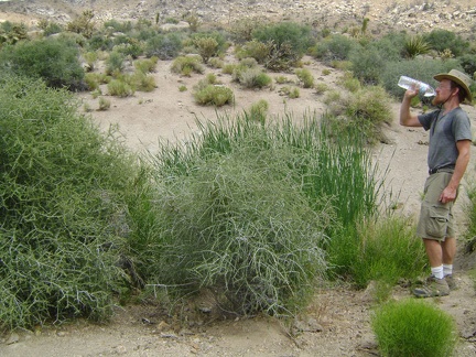 I take a short break at Wildcat Spring and drink some of the water I brought with me
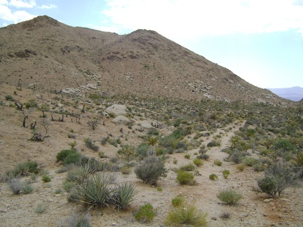 I leave Wildcat Spring and start hiking toward my next stop, Coyote Spring, about 1/2 mile beyond
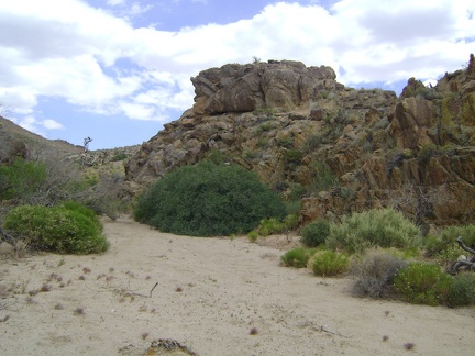 My GPS leads me around a bend toward Coyote Spring; I'm at the lowest elevation of today's trip, 4430 feet
 All this greenery says that this must be Coyote Spring, but I don't see any water here, not even a bit of mud
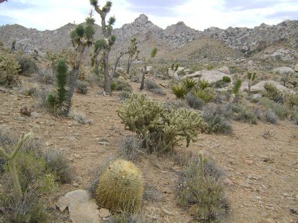 Looking back again at the Eagle Rocks and Mid Hills area
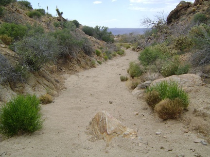 My Delorme GPS leads me into a small wash as I look for signs of Wildcat Spring
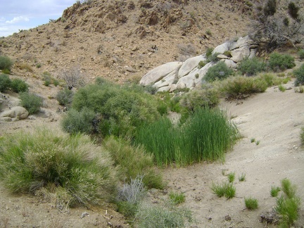 Wildcat Spring, Mojave National Preserve
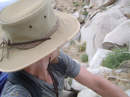 The toughest part for me is just before the bottom, where I'm left with no choice but to jump down a few boulders
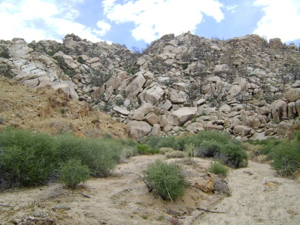 I reach the bottom of the boulders and look back to see what I've just climbed down; I expect sore knees and thighs tomorrow
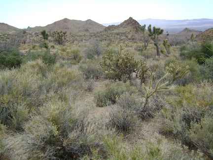 Entering the next phase of today's hike, I start heading down toward Wildcat Spring, Mojave National Preserve
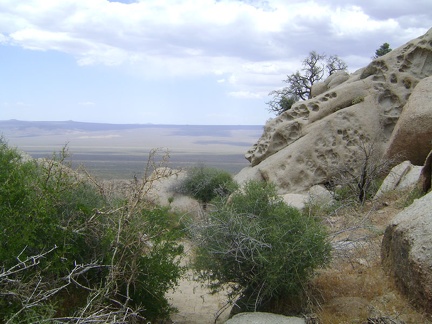 Oh good, a level spot, but perhaps followed by a steep drop...
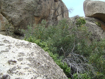 I'm a bit stuck right here and will have to squeeze behind the manzanita (and other) brush here to reach the next step down
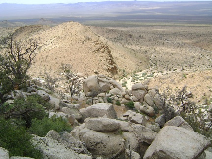 I'm getting closer to the bottom, but each time I think I see an easy next-step-down, it turns out to be less simple
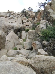 Looking back up the boulder pile as I get closer to the bottom
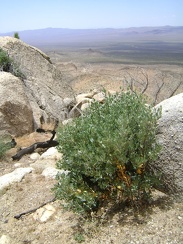 I pass an unexpected manzanita shrub as I begin my way down the boulder pile
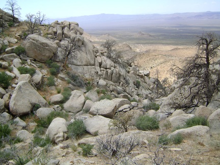 It looks a bit steeper going down than I was hoping for
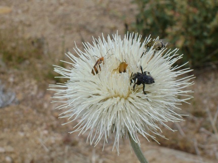 Three bugs are enjoying this thistle blossom
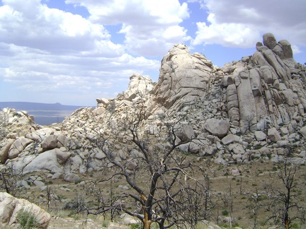 The texture of the Eagle Rocks area is perhaps even more interesting on their back side
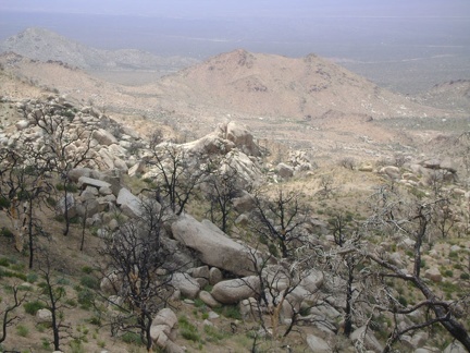 My next stop will be down in the hidden valley at Wildcat Spring; perhaps it's that tiny green spot down there, I'm not sure yet
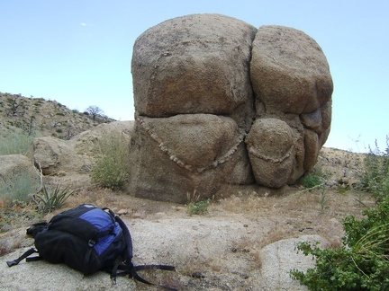 Maybe this one should be called Buttock Rock
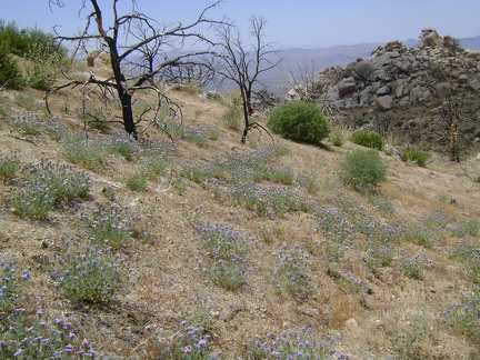 I begin hiking beyond Eagle Rocks into new territory that I've been looking forward to visiting
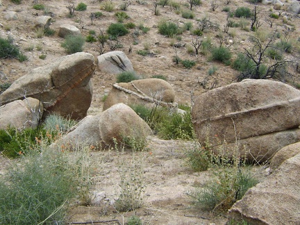 There's no shortage of quirky rocks in the Eagle Rocks area to look at
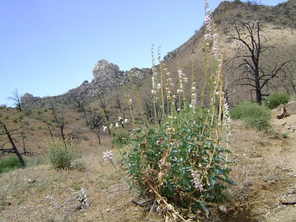 Palmer's penstemon blooms on the way up the gulley toward Eagle Rocks
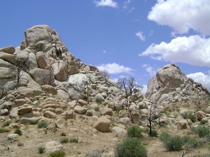 Eagle Rocks, Mojave National Preserve
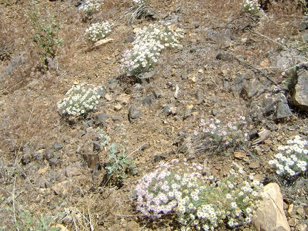 A patch of asters on the way down to the gulley between Mid Hills campground and Eagle Rocks
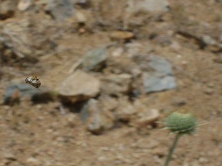 A bee tightens up and launches itself toward a thistle bloom
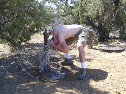 Mid Hills campground's 26 campsites are all nicely deserted this morning, except for mine
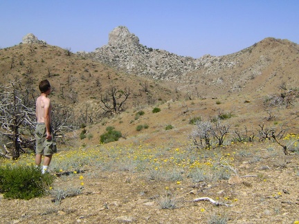 Across the road from the water tap, I ponder the wiew of the Eagle Rocks, which will be the first stop on today's hike
 I'm being watched!
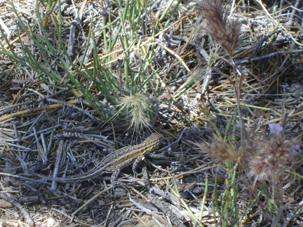 Back at my tent, a lizard pretends to hide from my camera under a nearby pinon pine
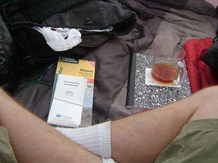 I consult my maps and have breakfast and hot tea (which makes me sweat) inside my tent
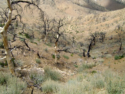 I prepare my backpack for the day and begin by walking down the short steep hill into the gulley behind Mid Hills campground
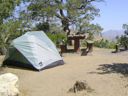 Mid Hills campground, Mojave National Preserve before today's hike to Eagle Rocks and Wildcat Spring
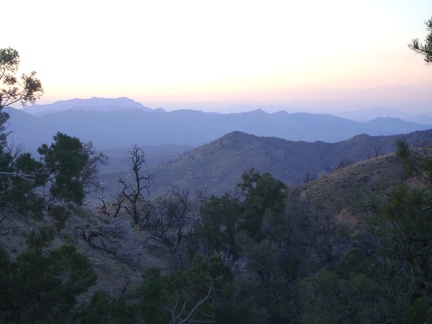 Sunset haze drifts over the Ivanpah Mountains and the Clark Mountain Range beyond
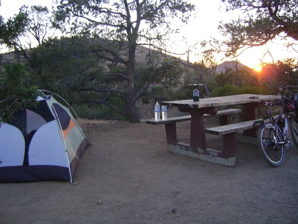 Mid Hills campground sunset; I set up my burner on the picnic table and get ready to boil water for tonight's meal
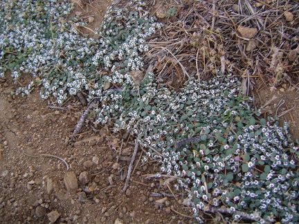 Returning to my tent at Mid Hills site 22, I spot some tiny flowers along the road that I've never noticed before
 Wild Horse Canyon Road junction, and Mid Hills campground is just two miles away
 The last couple of miles before Mid Hills campground bring a few short hills just when you have little energy left
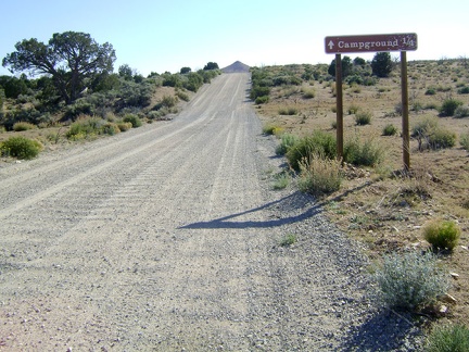 Almost at Mid Hills campground, Mojave National Preserve
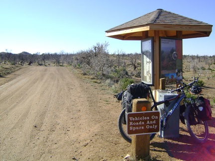 Mid Hills campground, Mojave National Preserve, entrance kiosk
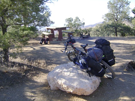 I ride through Mid Hills campground, Mojave National Preserve, and select site 22, where I've camped previously
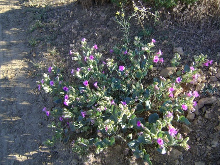 Desert four o'clock flowers
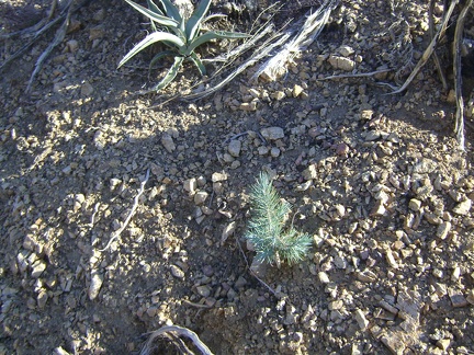 A pinon pine infant grows near a banana yucca at Mid Hills campground, Mojave National Preserve
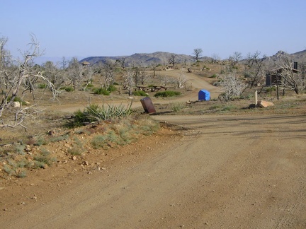 After selecting site 22, I ride through the deserted Mid Hills campground back to the entrance kiosk to deposit my fees
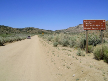 Cedar Canyon Road is scenic, but I'm always so happy when I reach the junction of Black Canyon Road at 5000 feet
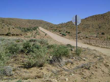 Black Canyon Road rises up from Cedar Canyon Road toward the Mid Hills, Mojave National Preserve
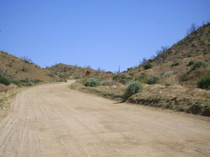 Black Canyon Road's grade here ranges from three to seven per cent, with a bit of loose sand on a hard washboard surface
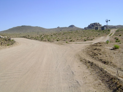 After climbing out of Cedar Canyon Road, Black Canyon Road reaches the plateau of Round Valley
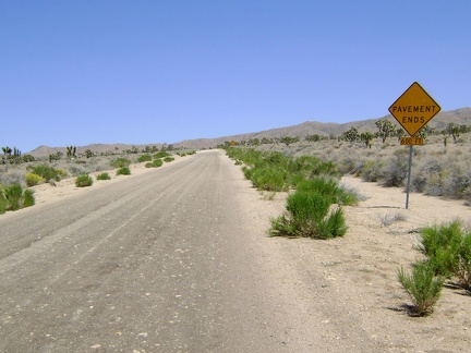 Cedar Canyon Road's famous "pavement ends" sign
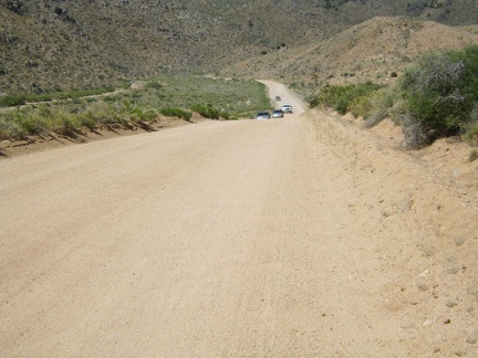 Cedar Canyon Road dips down into Cedar Wash for a couple of miles
 The climb up Cedar Canyon Road into the Mid Hills starts out well
 I pull in at the road to Chicken Water Spring and try my cell phone; it works here as hoped
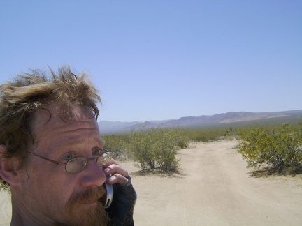 Mojave Road and Marl Mountains in the background, I try my cell phone here, but there's no reception
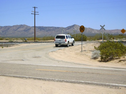 While at Cedar Canyon Road junction, I notice an indecisive SUV, so I go speak to its driver; maybe he needs directions
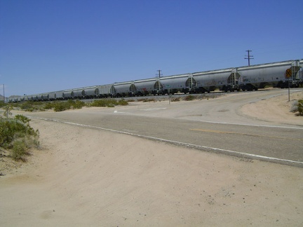 Refreshed after my break, I'm ready to start the ride up Cedar Canyon Road when a freight train passes by
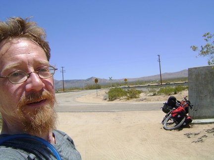 Cedar Canyon Road junction, another much-needed break, at 3725 feet on Kelso-Cima Road
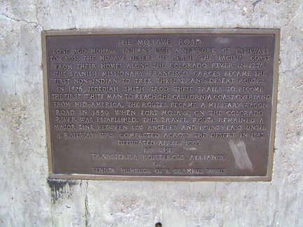 Information plaque on Mojave Road marker at junction of Cedar Canyon Road and Kelso-Cima Road
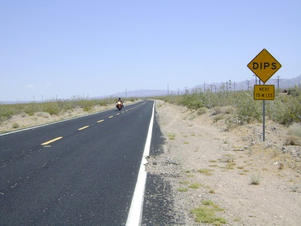 Kelso-Cima Road isn't too busy, but traffic is fast and there's no paved shoulder, so cars have to change lanes to pass me
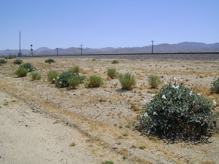 Datura flowers along Kelso-Cima Road
 Globe Mine Road; I camped three nights up this road on my 2008 trip
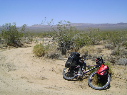 I pedal slowly upward and take a Clif-bar-and-water-break about an hour later off Kelso-Cima Road along the train tracks
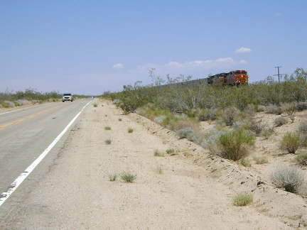 The break helps a lot, and I get back on Kelso-Cima Road for the last few miles to Cedar Canyon Road and watch a train pass by
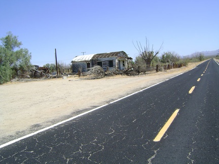 I pass my favourite old house in Kelso, the one with the rounded roof and the cabin in the backyard built of railway ties
 It's already 84 degrees and I've cooled down as much as I can in Kelso Depot's air conditioning; it's time to ride on!
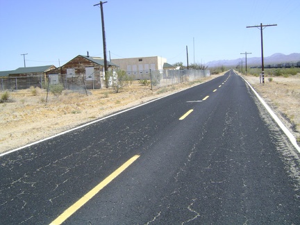 I'm officially on my way to Mid Hills now as I leave Kelso Depot and head north on Kelso-Cima Road
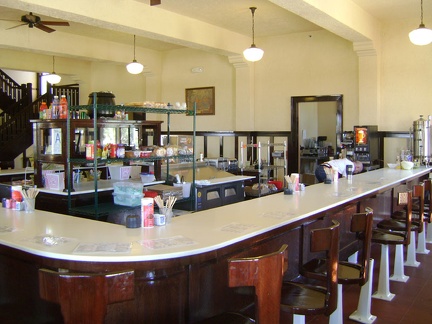 I take a one-hour break and cool down in Kelso Depot's air conditioning before starting the climb up to Mid Hills campground
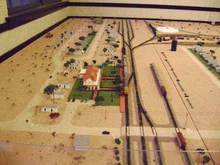 Downstairs in Kelso Depot is a model that shows how Kelso was back in the 1940s
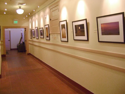 Also downstairs at Kelso Depot is a gallery featuring work from a new artist-in-residence program by photographer Bob Killen
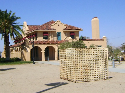 Next to Kelso Depot is an old metal structure that was formerly used as Kelso's jail!
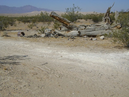 Dead tree along Cornfield Spring Road near Kelso Depot, with Kelso Dunes in the background
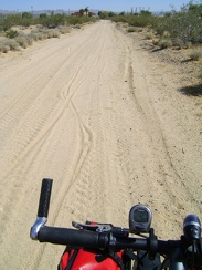 My tires hiss gently as I ride through the sand at the bottom of Cornfield Road toward Kelso Depot
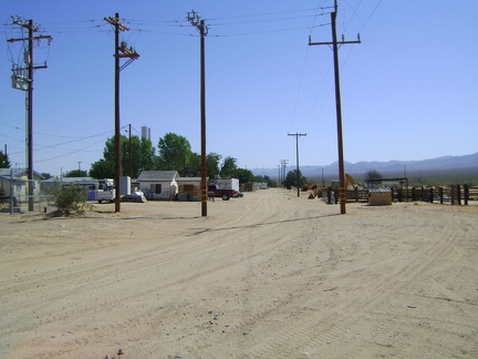 Just before Kelso Depot and the train tracks, I cross Kelso's back street where sit a few inhabited houses
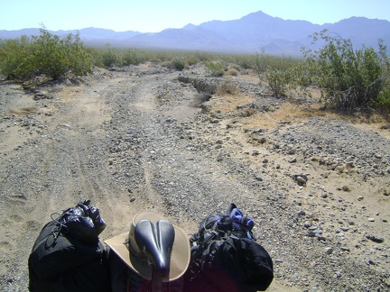 Looking behind me up Cornfield Spring Road toward Providence Mountains as I ride down the rough road to Kelso Depot
 I pass an ant hill on Cornfield Spring Road
 By 9h, the contents of my campsite on Cornfield Spring Road has been decisively packed into my bloated saddlebags
 I start the two-mile trek down Cornfield Spring Road toward Kelso Depot
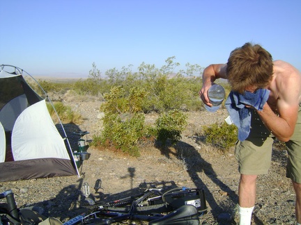 I'm irreversibly awake and sweating as soon the hot sun rises around 6h; by 7h, I'm outside taking a "dry shower"
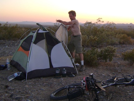 Sunset at Kelso also means removing the tent's outer flap to let the hottest air escape through the screen
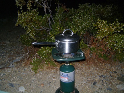 Heat does kill the appetite, but a good meal after exertion in the heat is still satisfying, if taken slowly
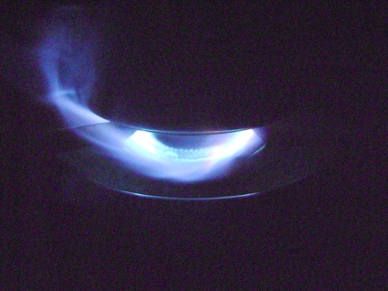 After dark, the wind picks up a little; it's a beautiful warm evening and the stars are bright
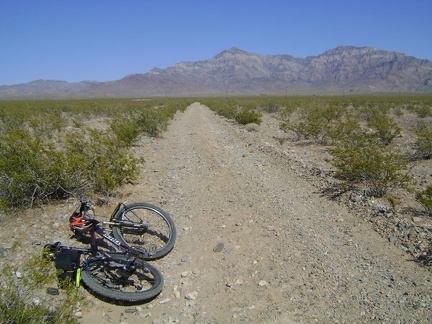 My air-conditioning festival melts away when I refill my water supply at Kelso Depot and begin the ride back to camp
 In addition to the four now-full 1.5-litre water bottles in my backpack, my 10-litre black water bag is mostly full now too
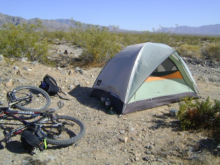 Back at the tent, I decide to rest silently for a while and enjoy the mind-and-body debilitating drug that is the heat
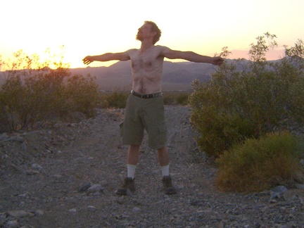 Sunset finally approaches like I knew it eventually would; I've been imagining its arrival from inside my tent for a while now
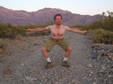 Like the Providence Mountains behind me, I stretch, and I stretch, upward and outward, the cool 90-degree air enveloping us all
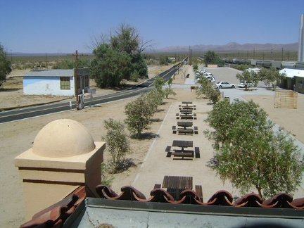 From Kelso Depot, view northeast up Kelso-Cima Road from the door at the end of the second-floor corridor
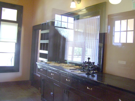 Kelso Depot baggage office, from staff's view
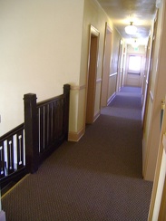 Kelso Depot, second storey: the real reason I'm here today (besides the air conditioning)
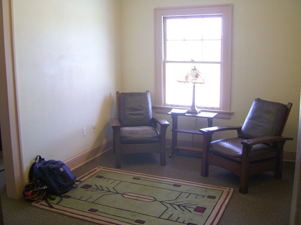 I plant myself in the sitting area of the little library and go about browsing the books and maps
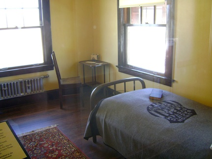 A couple of the small sleeping rooms are furnished in the simple style of the period
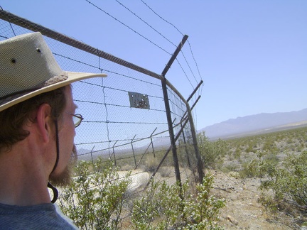 So, what in the desert is worth surrounding with barbed wire like this?
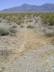 On the way back to my tent, I notice a very distinct animal trail running across the fan
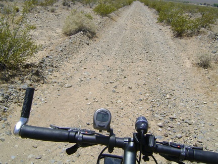 I fetch my bike at the tent and ride the almost two miles down to Kelso Depot
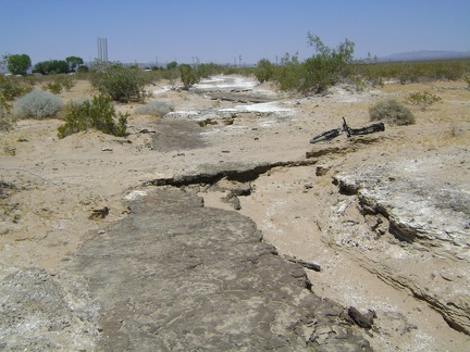 Close to Kelso Depot, I notice that Cornfield Spring Road crosses an old washed-out paved road
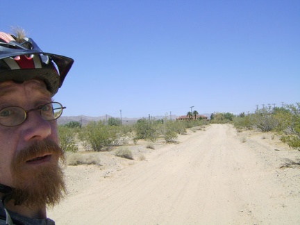 Approaching Kelso Depot, and air conditioning!
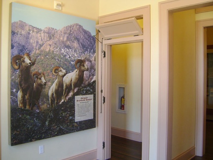 I suck back a glass of cold iced tea at the just-opened first-floor lunch counter, then go exploring Kelso Depot's many rooms
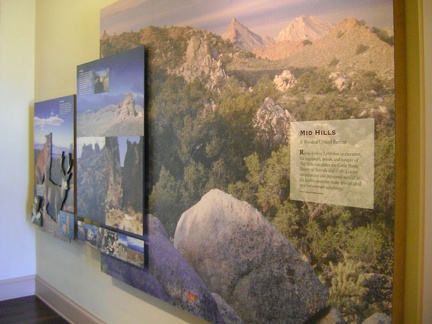 Several of the Kelso Depot exhibits introduce visitors to various distinct areas of Mojave National Preserve
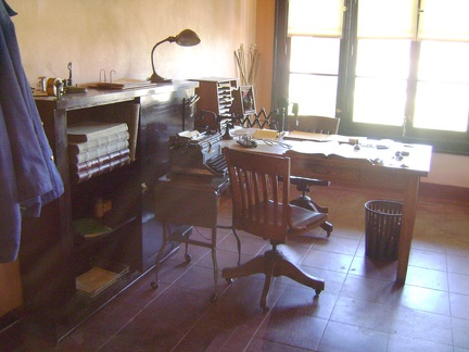 Old Kelso Depot office space
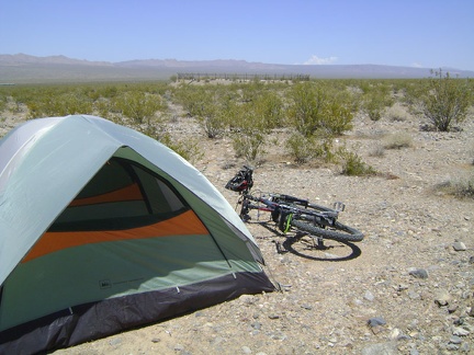 Now that I'm back at my tent, one of the things I want to see is that fenced-off structure a quarter-mile in front of me
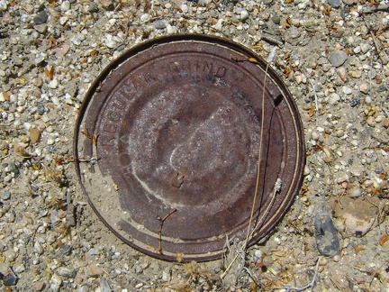 Near the structure are many old cans strewn about
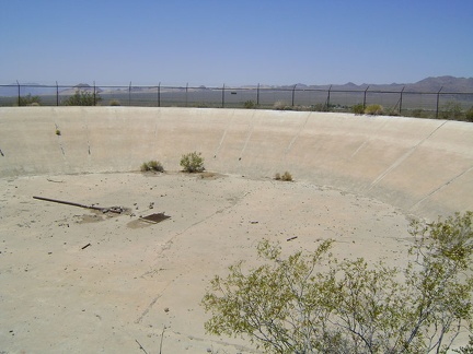 Peering through the wire, I see a large, dry concrete reservoir
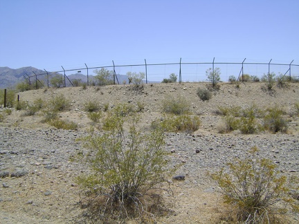 On the approach, this thing looks like an abandoned skating rink surrounded by barbed wire
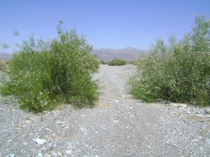 I pass again through the stand of desert willows on the way back to the tent
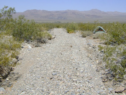 As I approach the tent, I'm overcome by a feeling of disappointment due to not having reached Cornfield Spring
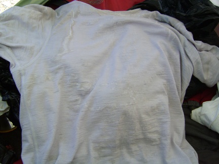 I reach inside my tent to get some water and notice yesterday's heavily salt-crusted t-shirt
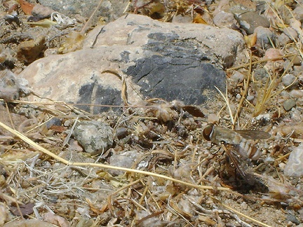 A wasp, or some kind of big fly, is sitting outside my tent, obviously attracted to something
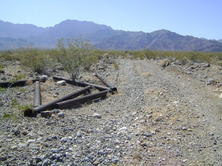 As I hike up Cornfield Spring Road, I come across this collection of old pipes
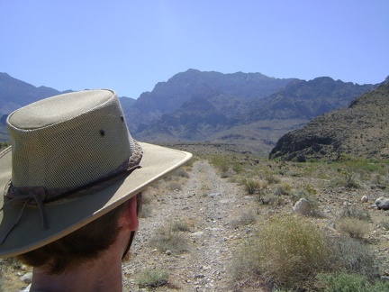 I keep hiking up Cornfield Spring Road and realize that I'm almost out of water already; not good on a hot day like this
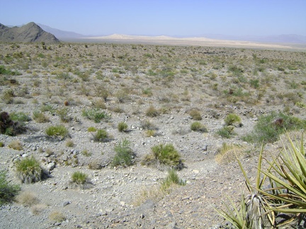 Kelso Dunes paint a scenic backdrop for this moment of indecision
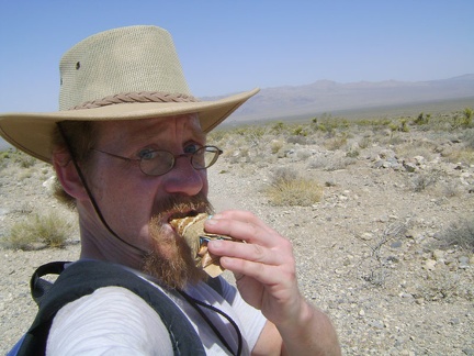 Break time! A Clif bar, and more water, which is already rather warm
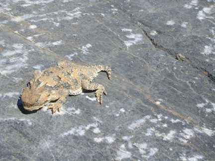 Desert-horned-lizard break! Quite different from my Clif-bar-and-water break a few minutes ago
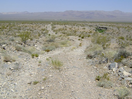 The 2.5-mile hike back to the tent is pleasant, and I'm enjoying the gentle downhill as I sweat under the hot sun
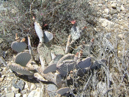 Residual flowers on a cactus; these may become cactus pears soon
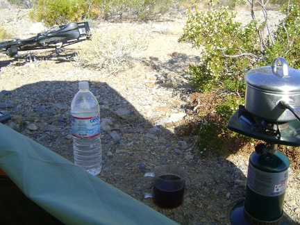 I make a small pot of tea, wondering if it will be enough to jumpstart my day; I would prefer some strong coffee, but have none
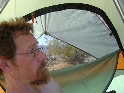 It's a hot morning, probably in the high 70s; I mount the rain cover on the sunny side of the tent to get some shade
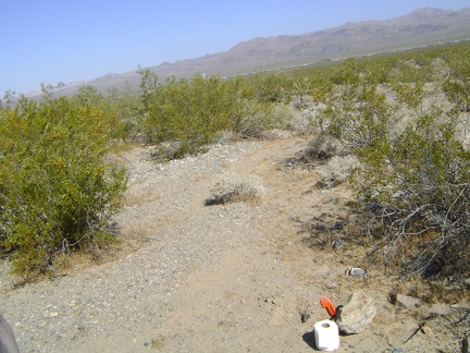 Time to dig my first cat hole of the trip
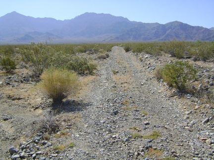 I pack my backpack and start walking up the road toward Cornfield Spring
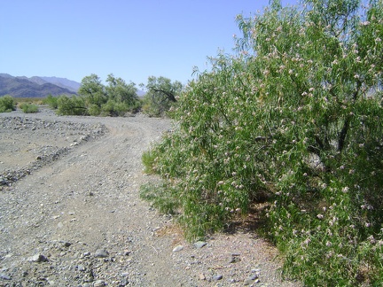 Hmm... no water here at all, just a nice patch of desert willows (chilopsis linearis)
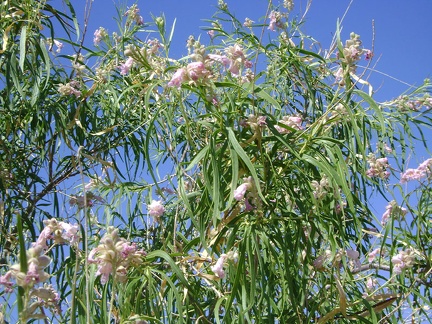 Chilopsis linearis flowers in close-up
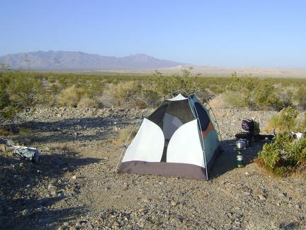 Mojave National Preserve wake-up call near Kelso Depot: morning sunshine
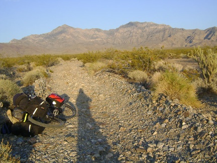 Cornfield Spring Road becomes a track of small rocks plowed out of the alluvial fan
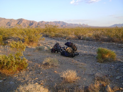 I'm still a couple of miles away from Cornfield Spring when I notice a small clearing that might make a good campsite
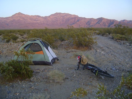 My Cornfield Spring Road campsite is born in time for me to enjoy the colourful end-of-day glow of the desert sunset
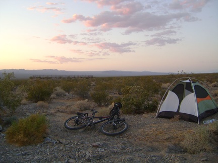 The beauty and serenity of a desert sunset tends to recompense for any hardships incurred during the day's work
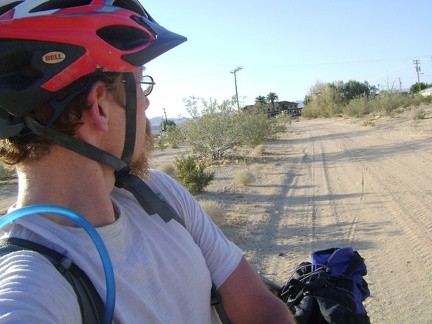 I glance back at Kelso Depot as I start riding up the sandy road to Cornfield Spring
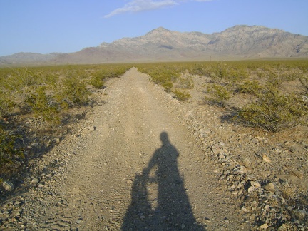 The road to Cornfield Spring gets a bit rougher
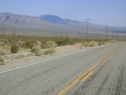 Still heading downhill into the Kelso Valley, now approaching the town of Kelso, that ribbon of buildings
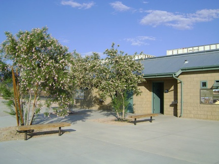 Desert willows bloom and attract hummingbirds outside the Kelso Depot bathroom building
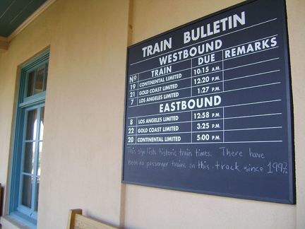 While lingering in the shade of the Kelso Depot waiting platform, I chat with a couple on their first visit to the Preserve
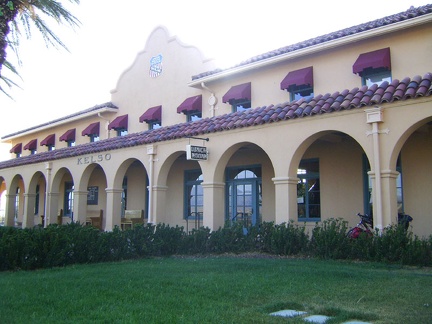 Kelso Depot Visitor Centre, Mojave National Preserve, former 1920s train station restored in 2005
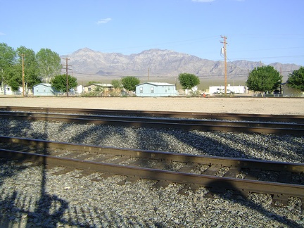 I look across the tracks and beyond the handful of houses that are Kelso toward Cornfield Spring, my destination
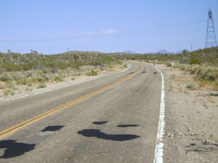 The final four miles of the normally easy climb to the Kelbaker Road summit at the power lines have never been so challenging
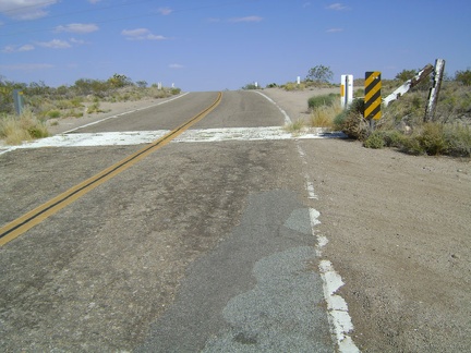 Kelbaker Road summit at 3700 feet elevation; I'm there, finally!
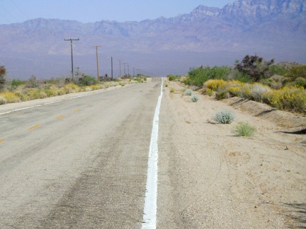 The 12-mile gradual descent to Kelso is fun, but I usually have a headwind that slows me down considerably, like I do today