Home 7119

 In front of a Providence Mountains backdrop, I can see one of the toilet buildings at Mid Hills campground in the distance
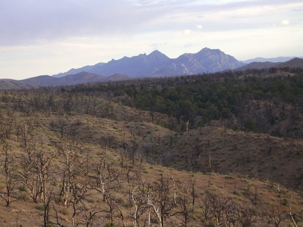
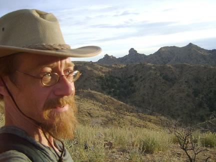 The luminosity of sunset starts to set in on the Mid Hills, with Eagle Rocks in the distance
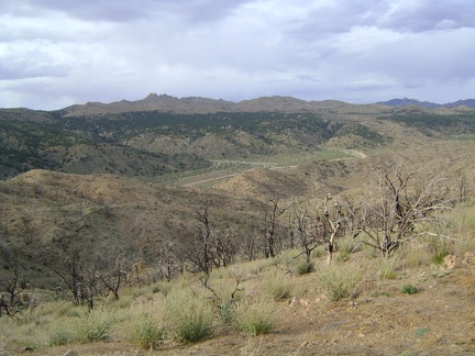 The northeast view from this vantage point provides an overview of Cedar Canyon that I haven't seen before
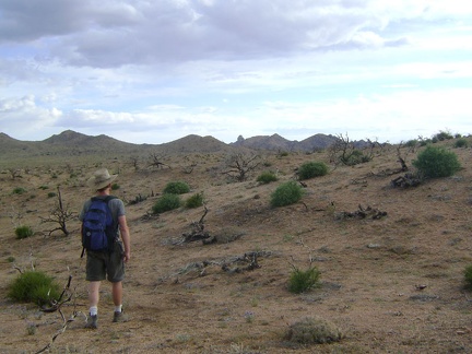 I head southwest across the burned Mid Hills plateau back toward the campground, with Eagle Rocks in the distance
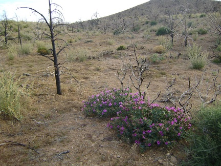 Desert four o'clock flowers brighten up this brown landscape northeast of Mid Hills campground
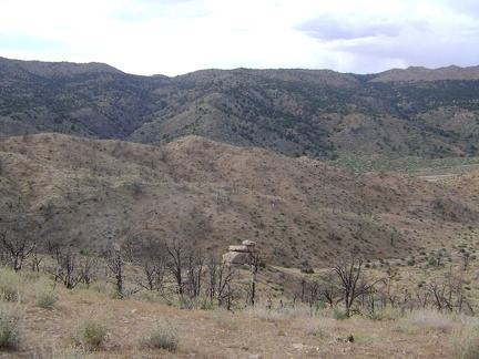 From almost 400 feet above Cedar Canyon Road, I have a nice view to the north across to Seep Canyon, which I just hiked down
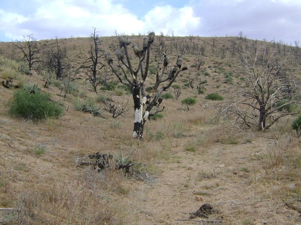 A burned joshua tree in the Mid Hills a couple hundred feet above the south side of Cedar Canyon Road
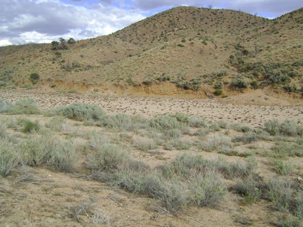 I walk across Cedar Canyon Road, then Cedar Wash, then climb up the hill on a trail-less route back to Mid Hills campground
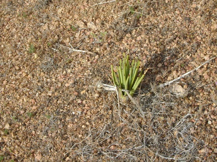 A joshua tree sprouts in the heavily burned hills south of Cedar Canyon Road
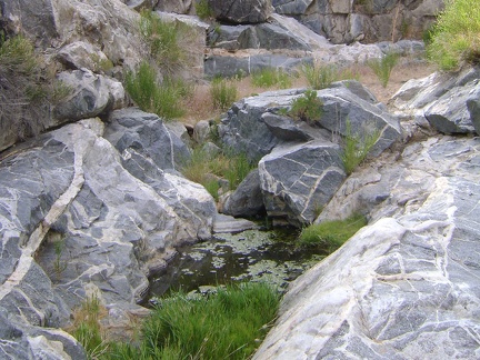 There's even a small pool of water here in Seep Canyon
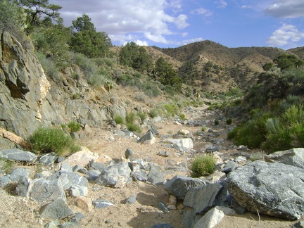 I near the bottom of Seep Canyon and the canyon widens a bit
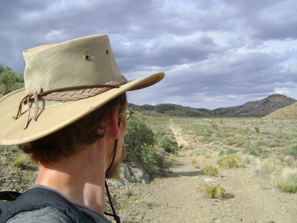 I stumble upon that abandoned alignment of the old Mojave Road again just before arriving at Cedar Canyon Road
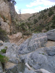 I continue the scenic descent down Seep Canyon
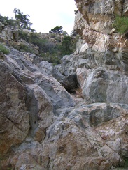 I look back at another pile of rock that I just climbed down in Seep Canyon
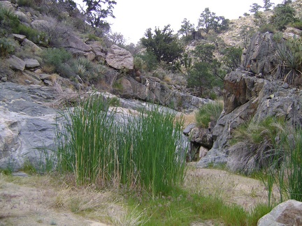 A patch of grasses grows in a muddy spot in Seep Canyon like the ones at "real," identified springs
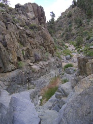 Some of the rocks need to be hopped over
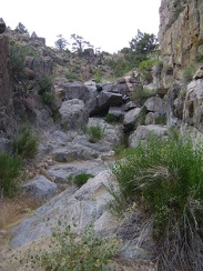 I notice a few moist spots here and there as I climb over the rocks in what I've decided to call Seep Canyon
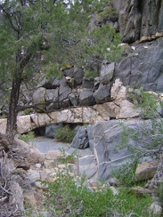 There's a lot of interesting rock in this canyon
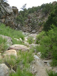 I figure I have about 1.5 miles of descent ahead of me in this little canyon
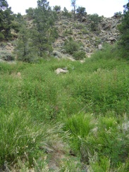 I pass through a green area with low shrubbery
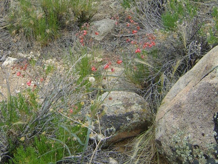 I'm not sure what these red flowers are, but they look like something that hummingbirds would be happy with
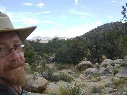 I reach the unnamed pass in the Mid Hills above Live Oak Spring and get a glimpse south across Round Valley to Table Mountain
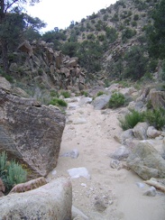 I've arrived at the top of the wash that I identified on my maps and start walking down toward Cedar Canyon
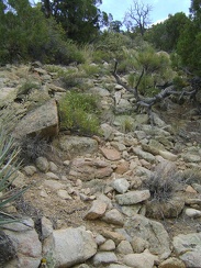 Climbing up the hill above Live Oak Spring turns out to be not so difficult
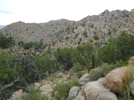 Gaining height in the Mid Hills, I look northeast toward the hills that host Cabin Springs
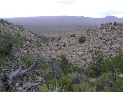 On the way up the hill above Live Oak Spring, I turn back and get one of the better views of Cima Dome that I've had
 I pass some very interesting boulders above Live Oak Spring
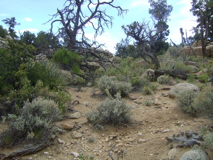 Still heading uphill, I'm almost at the top of the hill above Live Oak Spring
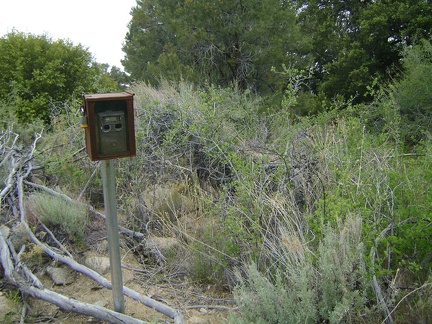 I know I'm at Live Oak Spring when I come across a wilderness camera
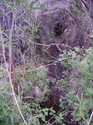 I look into the brush at which the wilderness camera points and discover a dribble of water on the ground
 OK, I've checked out Live Oak Spring; now I'm going to try walking over the hills toward Mid Hills campground
 After checking my maps, I realize that I'm not quite at Mojave National Preserve's Live Oak Spring
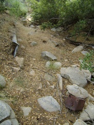 I find myself in a narrow, shaded drainage
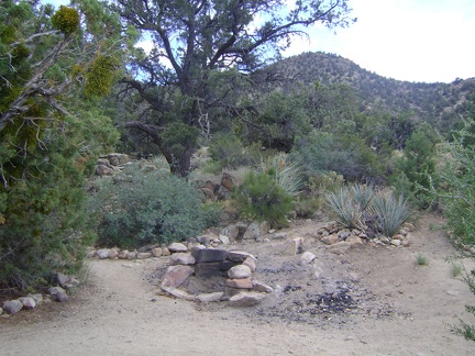 I stumble across two campsites near the end of Live Oak Spring Road, Mojave National Preserve
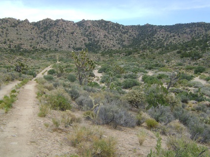 The road comes around a bend and heads southeast toward the Mid Hills and Live Oak Spring
 I walk a couple of miles up Live Oak Spring Road on a gentle uphill grade
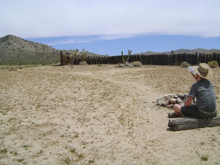 At Thomas Place, I take a break and relax by the fire ring for a moment
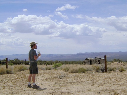 I walk over to the old building here at Thomas Place
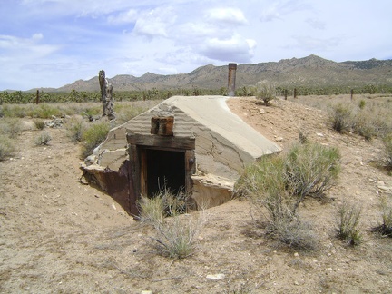 A dugout at Thomas Place, Mojave National Preserve
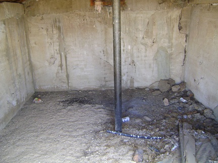 I take a peek inside the dugout at the old Thomas Place homestead
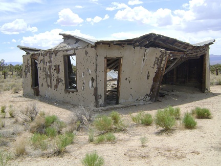 Thomas Place, Mojave National Preserve
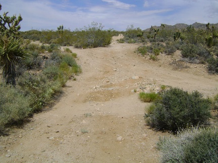 I leave Thomas Place and walk straight ahead up the road toward Live Oak Spring, crossing Death Valley Mine Road on the way
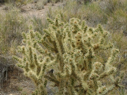 A bird flies past and lands in this cholla cactus
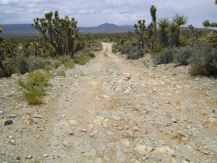 Death Valley Mine Road, Mojave National Preserve (marked as Cima Road on some maps)
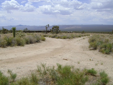 I turn left into the old driveway leading down to Thomas Place, that abandoned building ahead
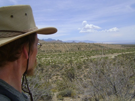 I reach Cedar Wash, cross it, then climb up the other side and look back across Cedar Wash to the south
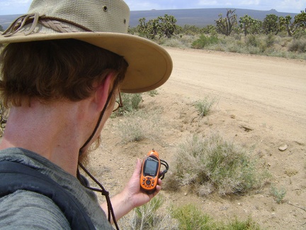 When I reach Cedar Canyon Road, I stop to check my GPS for directions
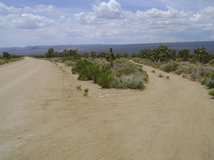 I cross Cedar Canyon Road, which I rode up last week, and start walking up the lesser Death Valley Mine Road to my right
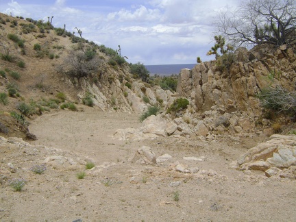 Before it joins Cedar Wash below, Eagle Rocks wash narrows and curves through an opening in the hill
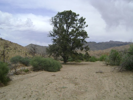 A tall, lone pinon pine grows in Eagle Rocks wash
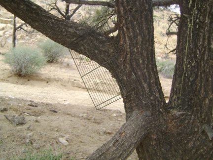 A BBQ grate hangs from that lone pinon pine in the wash
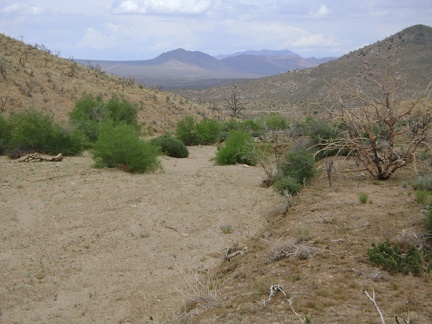 Cedar Canyon Road is now visible: that horizontal line down below
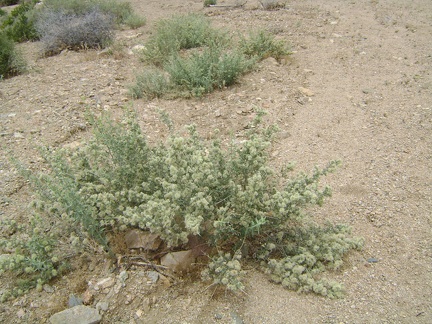 On my way down the wash, my nose keeps picking up a highly aromatic scent that isn't sagebrush
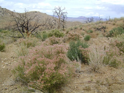 A patch of fluffy pink seed heads greets me as I approach Eagle Rocks wash
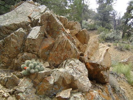 Some cactus, and a few other flowers, are still blooming in the relative shelter of this area
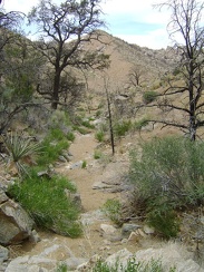 The drainage "trail" will end just ahead at the base of the small mountain
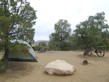 After a half-mile ride down to the kiosk to pay for one more night camping, I return to site 22 and lock the bike to a juniper
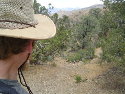 At noon, I start walking down the hill behind Mid Hills campsite 22
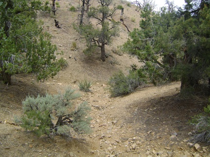 I follow a sometimes-shady drainage that leads northwest down the hill from my campsite
 While eating breakfast in the tent, I study my maps in preparation for today's hike over to Live Oak Spring
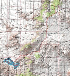 Mid Hills campground to Macedonia Canyon and back bike ride (Day 7)
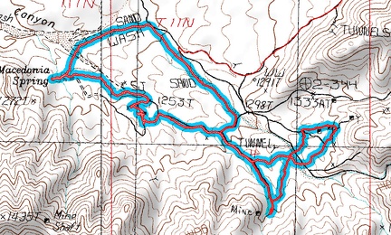 Macedonia Canyon hike route (Day 7)
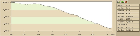 Macedonia Canyon ride profile (Day 7)
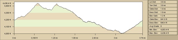 Macedonia Canyon hike profile, Mojave National Preserve (Day 7)
 I'm mesmerized by the tentacles of dark clouds swimming above while I look behind me during my ride up Wild Horse Canyon Road
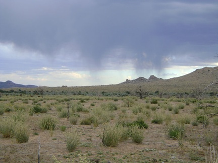 As I get closer to Mid Hills campground, the dark clouds weaken, but a few raindrops fall
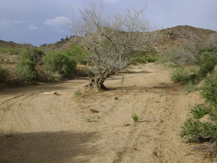 A tree grows in the wash in Macedonia Canyon, Mojave National Preserve
 I ride back up through the invisible-until-you-get-to-it gate at the top of Macedonia Canyon Road
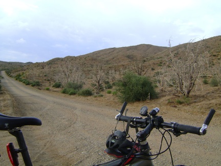 A quick 270-degree turn of the bike and I'm on Wild Horse Canyon Road again and on my way back to Mid Hills campground
 On the way up Macedonia Canyon Road
 From the low point of today's travels at about 4000 feet, I walk back up Macedonia Canyon a half-mile or so to fetch my bicycle
 I've got 700 feet of elevation gain on Macedonia Canyon Road ahead of me and I'm sweating hard already!
 Macedonia Canyon Road is quite sandy, which is why I've never ventured down here on my previous Mojave National Preserve trips
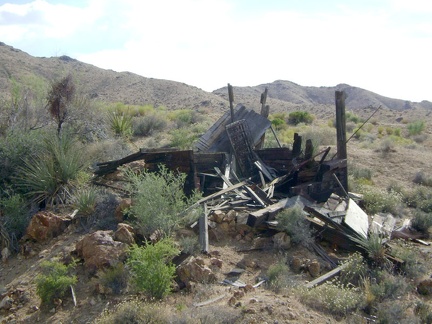 One of several debris piles near the cabin in Macedonia Canyon, Mojave National Preserve
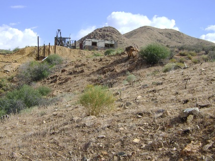 I take one last look at the Macedonia Canyon cabin as I begin walking away down the wash
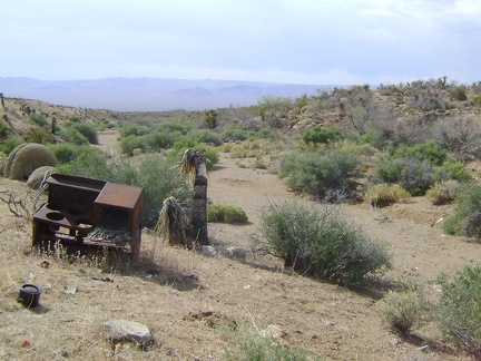 Below the Macedonia Canyon cabin is an old rusty stove
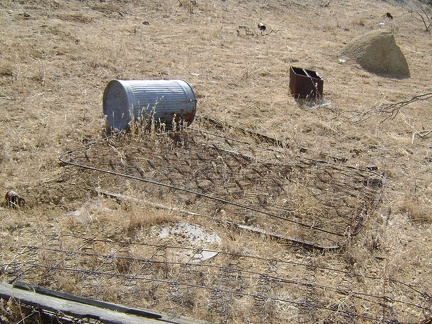 More junk near the Macedonia Canyon cabin!
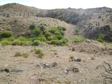 When I reach Macedonia Spring, I dont find any water at all
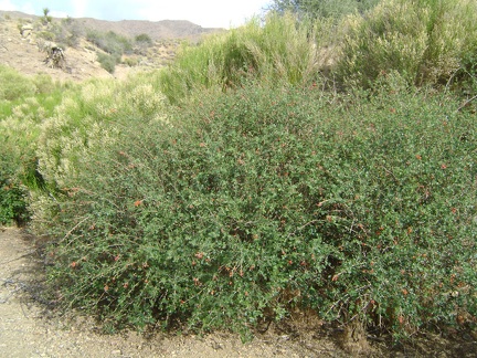 Rhus trilobata bushes at Macedonia Spring instead of water
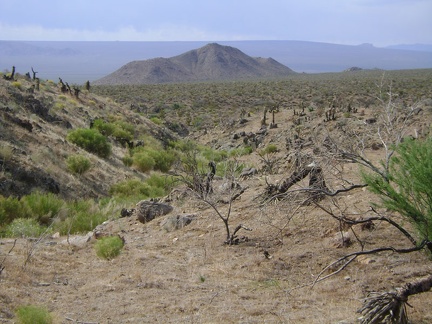 A bit disappointed at having discovered only dryness at Macedonia Spring, I walk back down the drainage
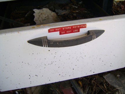 One of the bottom drawers of the stove is labelled "do not use"
 Labels on the stove inside the cabin in Macedonia Canyon, Mojave National Preserve
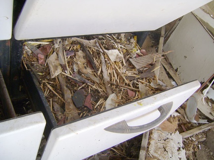 The other bottom drawer of the stove is full of packrat materials
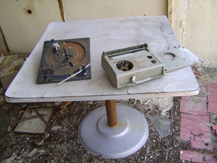 More 1970s' plastic antiques in the cabin in Macedonia Canyon
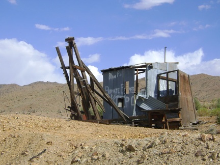 This structure near the Macedonia Canyon cabin was apparently the outhouse
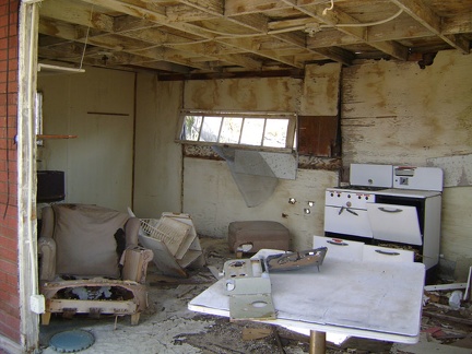 Inside the cabin in Macedonia Canyon, Mojave National Preserve
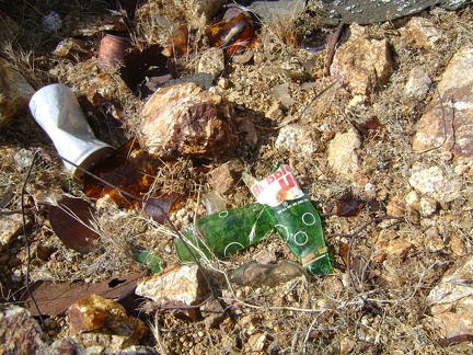 An old broken soda-pop bottle, of a brand named Bubble-Up
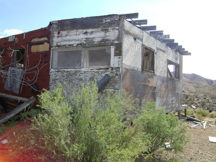 View of the east side of the cabin in Macedonia Canyon, Mojave National Preserve
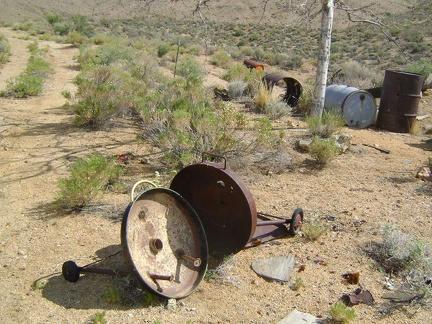 Lots of debris surrounds the Macedonia Canyon cabin, including this old barbeque grill
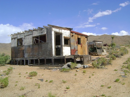 The Macedonia Canyon cabin has definitely seen better days
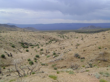 According to my maps and GPS, an old road exists in the gulley just below
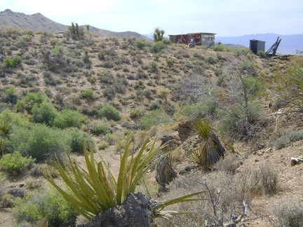 And voilà, there it is, the Macedonia Canyon cabin
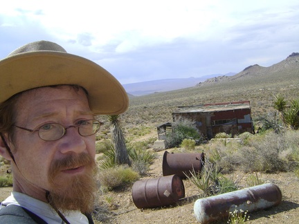 Atop the little hill, I get a better look at the Macedonia Canyon cabin
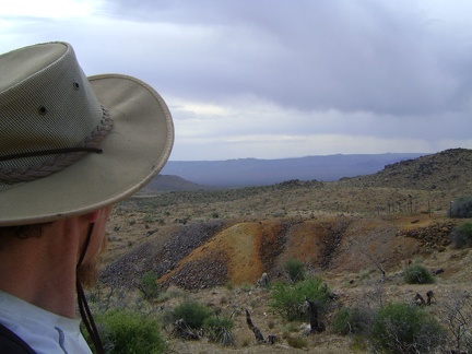 A final glance at the orange tailings pile near Columbia Mine, Macedonia Canyon
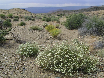 White buckwheat flowers in Macedonia Canyon valley
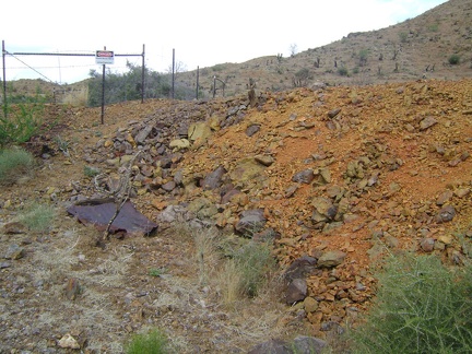 I reach the orange tailings pile at Columbia Mine and see a "danger" sign
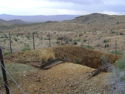 I don't know how deep this mine hole is at Columbia Mine, Macedonia Canyon, Mojave National Preserve
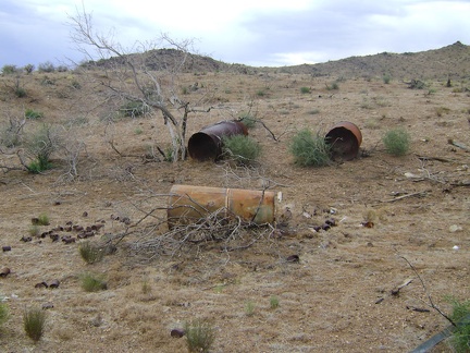 Approaching the Columbia Mine area, I pass a few abandoned metal tanks
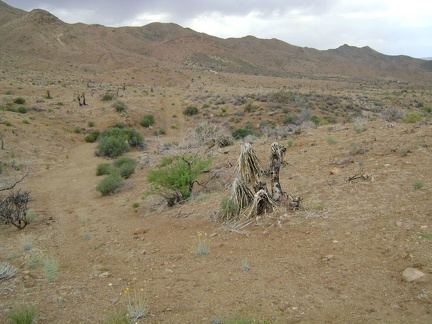 I ride up the track into Macedonia Canyon valley, but the hard-packed surface doesn't last, so I park the bike and start hiking
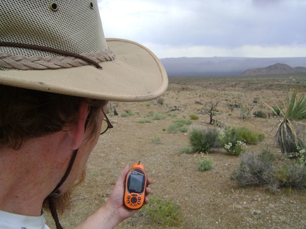 Up on a hill in the Macedonia Canyon valley, I stop to check my maps and GPS
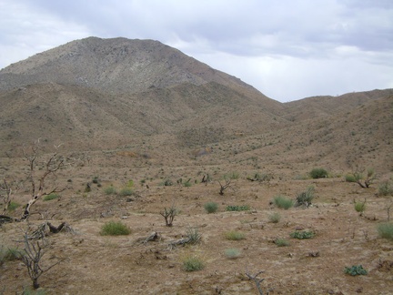 I decide to head over to the remnants of the Columbia Mine, those small orangish mounds in the distance
 After a few miles, I turn at Macedonia Canyon Road and pass through the flimsy barbed-wire gate
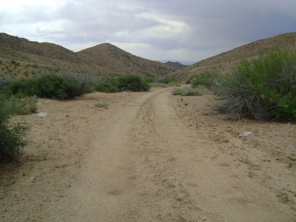 I begin the gradual descent down Macedonia Canyon Road, Mojave National Preserve
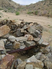 I pull over along Macedonia Canyon Road to examine what's left of an old foundation
 Down at about 4125 feet, I turn up an old road that leads into the Macedonia Canyon valley
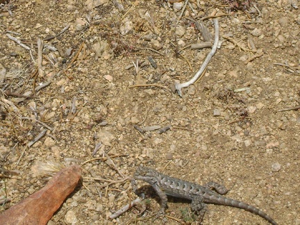 A noise outside my tent proves to be a lizard scurrying about
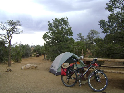 I keep delaying my departure to Macedonia Canyon due to the light rain that falls from time to time
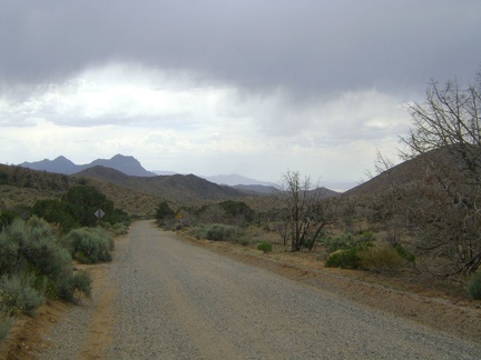 The fun ride down Wild Horse Canyon Road looks different today with the ominous clouds hovering above the Mid Hills
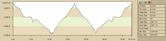 Elevation profile of today's ride from Mid Hills campground to Howe Spring and back (Day 6)
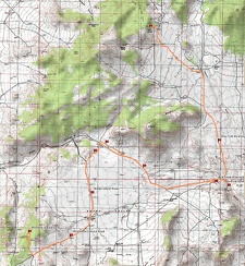 Bicycle route from Mid Hills campground to Howe Spring (Day 6)
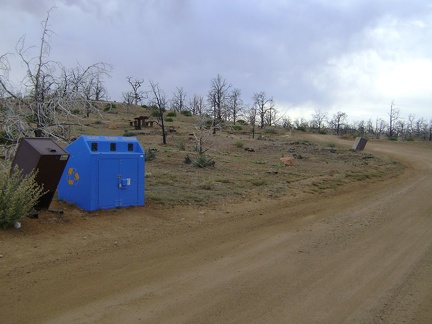 This recycling bin at Mid Hills campground takes on an incredible intense blue colour in its stark surroundings
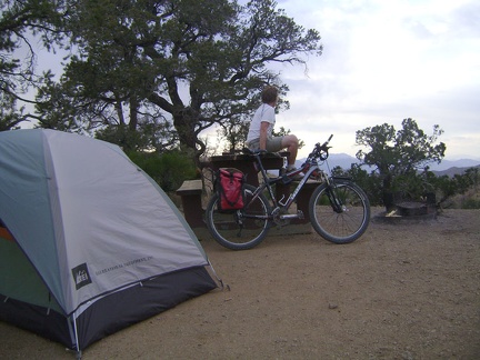 Back at Mid Hills campsite 22 after my ride to Howe Spring, I take a break before settling in and preparing supper
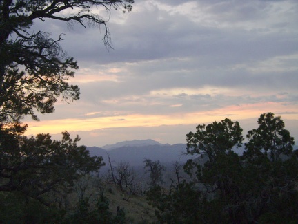 This evening's clouds make for a colourful sunset at Mid Hills campground site 22 after the ride to Howe Spring
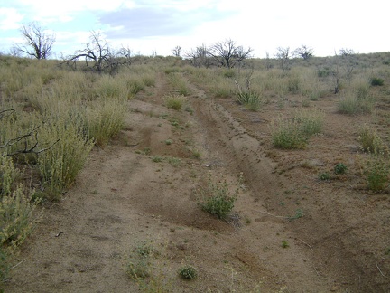 The ride back up the Cedar Canyon-Black Canyon cutoff road is slow, but easier than expected
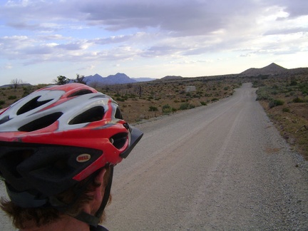 After the cutoff road, I ride 1.5 miles up Black Canyon Road, then the final two hilly miles up to Mid Hills campground
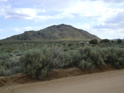 I stare at this unnamed mountain just south of Cedar Canyon Road while riding past it
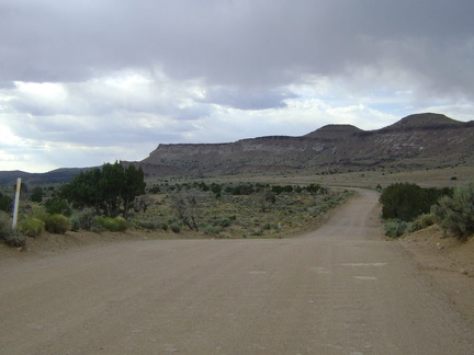 Cedar Canyon Road turns and heads briefly north toward Pinto Mountain before resuming its westward trek
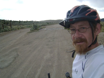 Cedar Canyon Road crosses a cattle guard and offers a detour for those not wishing to cross the cattle guard
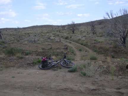 I leave Cedar Canyon Road and ride up the 3/4-mile-long shortcut road to Black Canyon Road
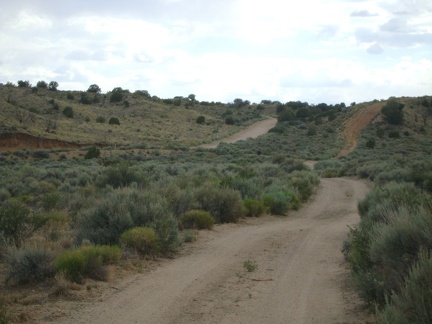 I ride briefly through the sagebrush in Watson Wash, then rise out of the wash after turning onto Cedar Canyon Road
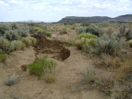 I come upon a severe wash-out and figure that I must have made a wrong turn; I didn't see this on the way to Howe Spring
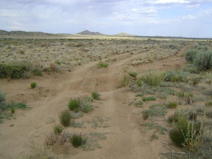 Howe Spring Road dips into several sandy washes as it hugs the west side of Pinto Valley
 This long, straight stretch of Howe Spring Road makes me feel like I'm somewhere other than the Mojave Desert
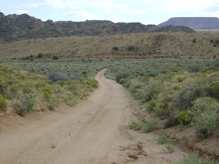 New York Mountain Road dips down into Watson Wash at around 4800 feet elevation
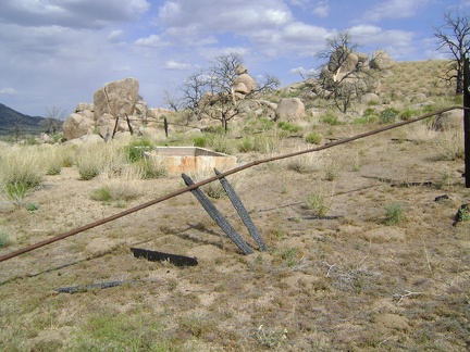 When I reach the old corral at Howe Spring, I realize that it's completely burned
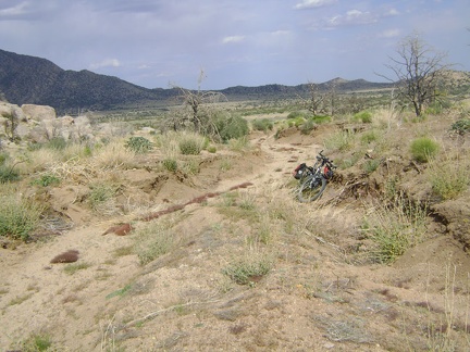 I retrieve the bike and start riding back down Howe Spring Road
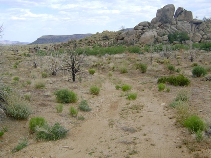 Riding away from Howe Spring, I find myself thinking that, yes, it would be worth camping here one day
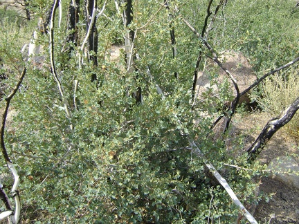 This looks like some kind of scrub oak growing here at Howe Spring, Mojave National Preserve
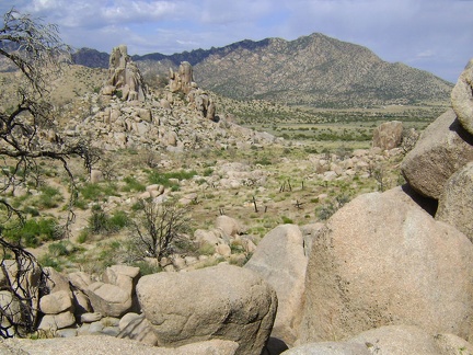 Looking east from Howe Spring across Fourth of July Canyon to the New York Mountains
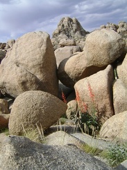 A firecracker penstemon blooms for the hummingbirds, in the rocks at Howe Spring, Mojave National Preserve
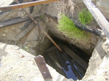 Howe Spring has no running water right now, but the well here (which is perhaps the spring) contains a fair amount
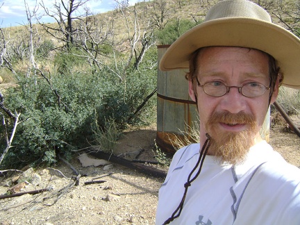 The Howe Spring water tank is empty
 The Howe Spring area looks a bit like the Eagle Rocks area, but the pinnacles aren't as big or numerous
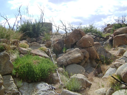 Howe Spring wash is dry, but I discover some piping that leads up to a water tank
 I walk up the dry wash toward Howe Spring, Mojave National Preserve
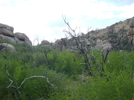 Dense greenery grows around the wash at Howe Spring, Mojave National Preserve
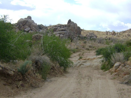 The road to Howe Spring has deteriorated enough that I know I'm near the end
 The main New York Mountains Road continues to the right
 The road to Howe Spring, Mojave National Preserve, gets narrower
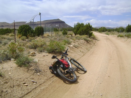 West New York Mountains Road, heading toward the east end of Pinto Mountain
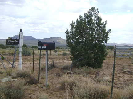 Mailboxes along west New York Mountains Road, Mojave National Preserve
 So far, west New York Mountains Road is well packed, but with a layer of sand or gravel on the surface
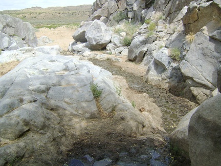 From Rock Springs, I walk back down to my bike parked in Watson Wash
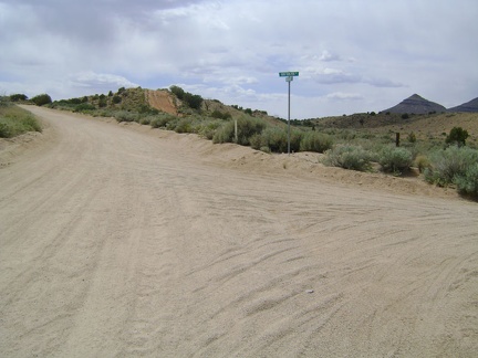 Back on the bike, I return to Cedar Canyon Road and turn right to head north on New York Mountains Road toward Howe Spring
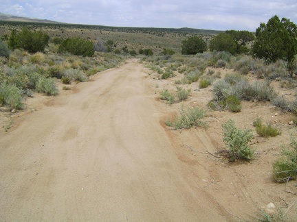 I ride down into Watson Wash on the short segment of the old Mojave Road near the Bert Smith Rock House
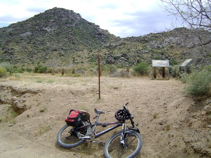 I park the bicycle where the spur road ends near Rock Springs and go for a walk
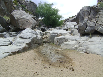 I approach Rock Springs, Mojave National Preserve
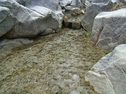 There doesn't seem to be much here at Rock Springs right now but mud, flies, and a lot of animal excrement
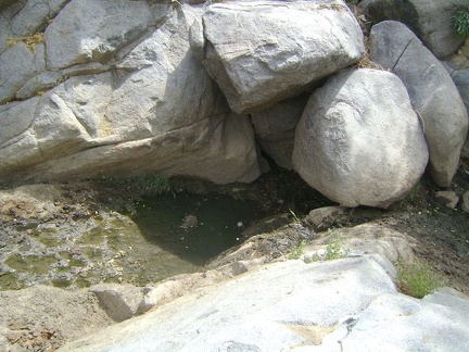 It turns out that a very small pool of water does exist here at Rock Springs after all
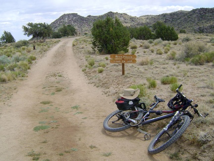 I turn at the short road leading to the historic rock house above Rock Spring, Mojave National Preserve
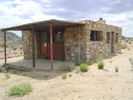 Mojave National Preserve's Bert Smith Rock House has been meticulously restored
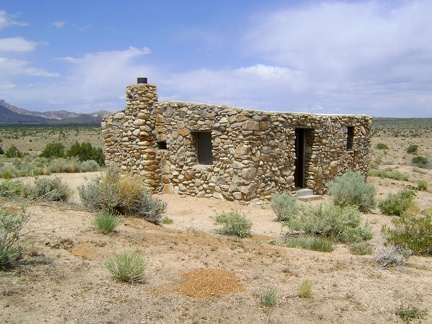 The Bert Smith Rock House sports deeply recessed windows and an unusual lack of a roof line
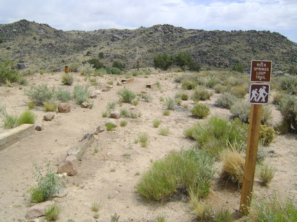 Behind the Bert Smith Rock House is a recently built trail down to Rock Springs, Mojave National Preserve
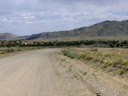 I ride about three miles down Cedar Canyon Road toward Watson Wash
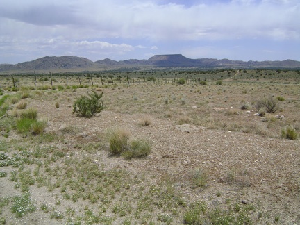 Here's the road that hugs the fence and connects this segment of the old Mojave Road with Cedar Canyon Road
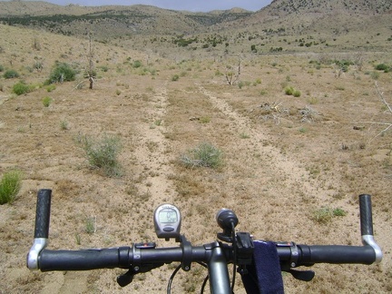 I see Cedar Canyon Road just down the hill
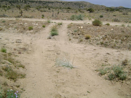 I arrive at the junction of Cedar Canyon Road too soon
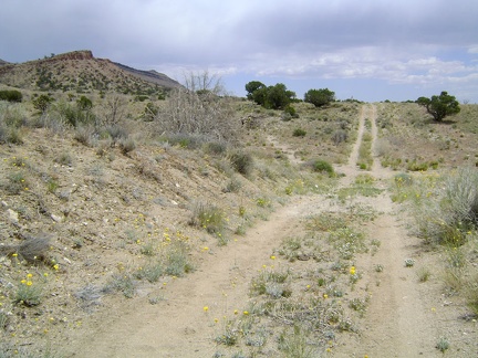 This appears to be an old alignment of the Mojave Road, running parallel to Cedar Canyon Road
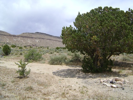 And there is a nice secluded campsite up here, again with a juniper tree
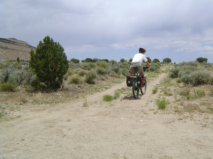 I continue along this stretch of the old Mojave Road, wondering how much further it goes
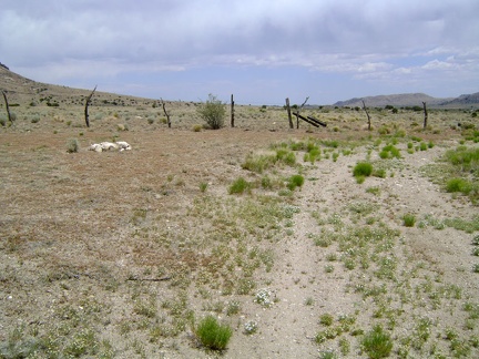 This old segment of the Mojave Road abruptly ends when it reaches a fence and turns 90 degrees to the right
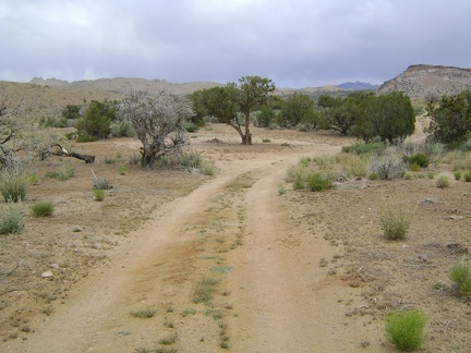 Just off Black Canyon Road on the shortcut road lies a campsite with a juniper tree
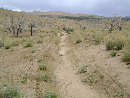 Beyond the campsite, the Black Canyon-Cedar Canyon shortcut road deteriorates
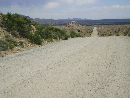 I ride out of Mid Hills Campground and down Wild Horse Canyon Road into Round Valley
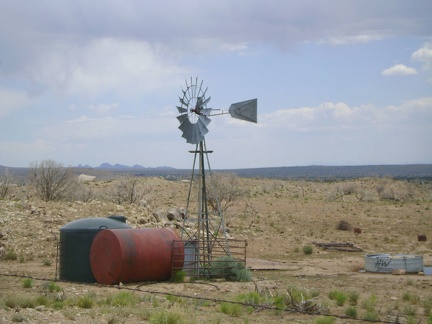 Windmill near the junction of upper Wild Horse Canyon Road and Black Canyon Road, Mojave National Preserve
 I ride almost two miles north on Black Canyon Road before turning right on a shortcut road that I've not ridden before
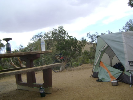 Morning at Mid Hills campground, Mojave National Preserve, before starting today's ride to Howe Spring
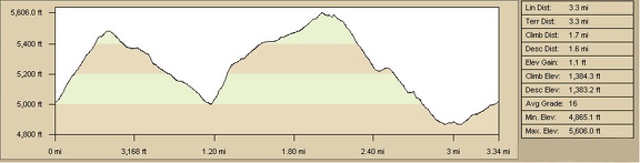 Wild Horse Mesa hike profile, Mojave National Preserve (Day 5)
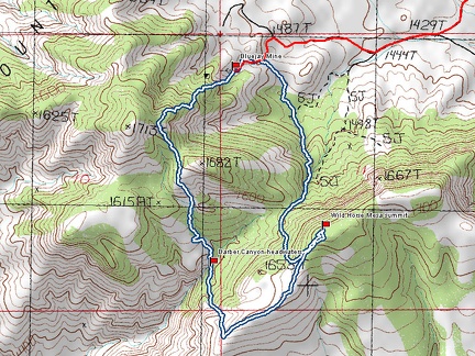 Wild Horse Mesa hike route, Mojave National Preserve (Day 5)
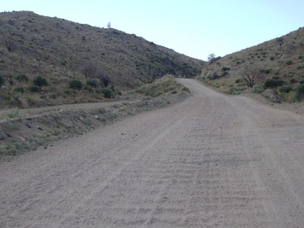 Black Canyon Road climbs up above the wash while passing through the canyon
 Black Canyon Road flattens out as it crosses Round Valley, Mojave National Preserve
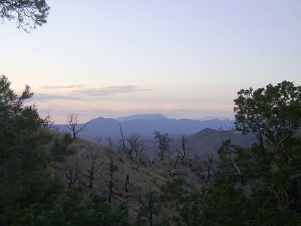 Another soothing sunset from Mid Hills campground site 22, looking toward the Clark Mountain Range
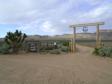 On the way up Black Canyon Road, I pass the Gold Valley Ranch
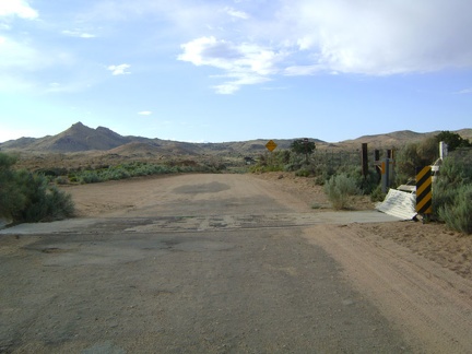 I ride over a cattle guard on Black Canyon Road
 Black Canyon Road is often straight, but it meanders when passing through Black Canyon
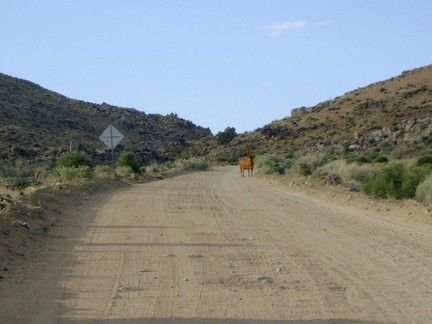 A cow stands in the middle of Black Canyon Road, not sure what to make of me
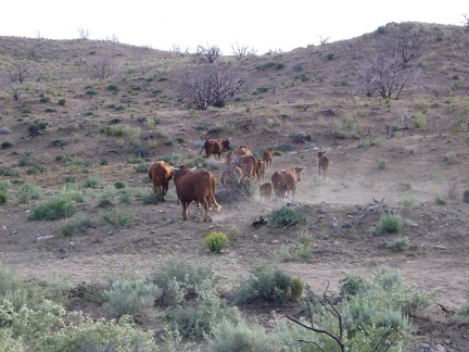 The cow leaves the road to join his family and they all rush off into the sagebrush
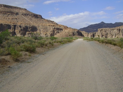 The washboard surface of the south end of Wild Horse Canyon Road makes for a rough ride
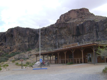 I take a break at the Hole-in-the-Wall visitor centre, which is closed right now
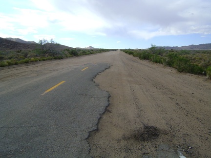 I get back on Black Canyon Road and start the 10-mile ride up the gentle hill back to Mid Hills campground
 North of Hole-in-the-Wall campground, Black Canyon Road is a gentle uphill that is quite washboarded
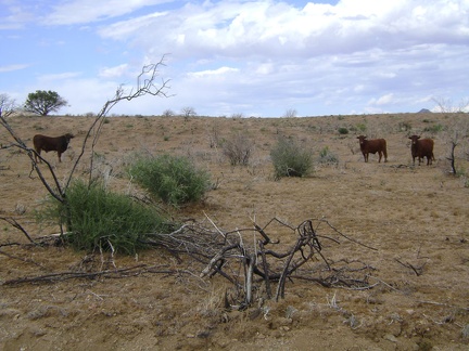 Cows grazing near Wild Horse Canyon Road, Mojave National Preserve
 I'm back on Wild Horse Canyon Road in the scenic area
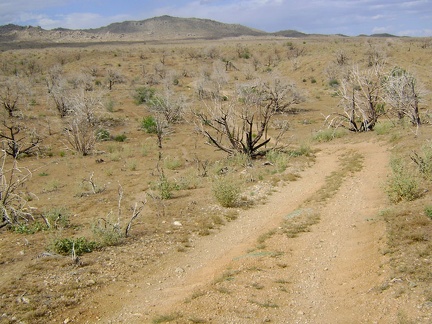 Bluejay Mine Road, Mojave National Preserve
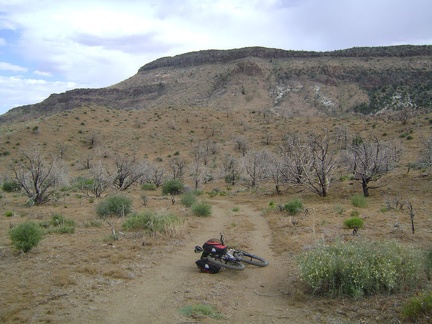 Bluejay Mine Road snakes around below Wild Horse Mesa
 Manzanita regrowth in the burned area below Wild Horse Mesa, Mojave National Preserve
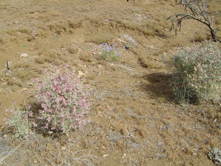 Paper-bag bush and verbenas are blooming in the heavily burned area near Bluejay Mine, Mojave National Preserve
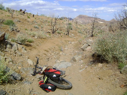 I make it back to Bluejay Mine, retrieve the bike, and start riding the 1.5 miles down to Wild Horse Canyon Road
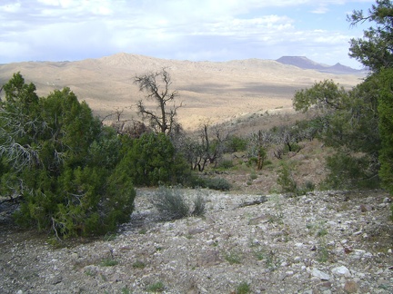 A few of the old junipers below Wild Horse Mesa appear to have escaped the ravages of the 2005 fires
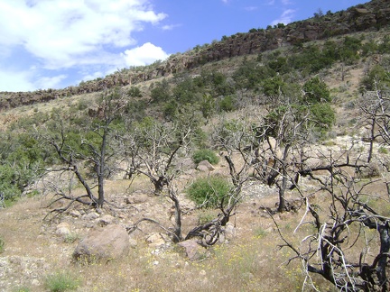 Looking back up to Wild Horse Mesa as I continue back down to Bluejay Mine
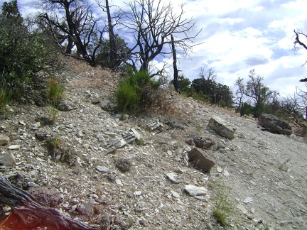 This area directly north of Wild Horse Mesa is steep, but is feasible when hiked across the slope
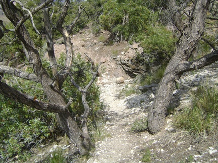 I hike down a drainage below Wild Horse Mesa amongst some old unburned junipers
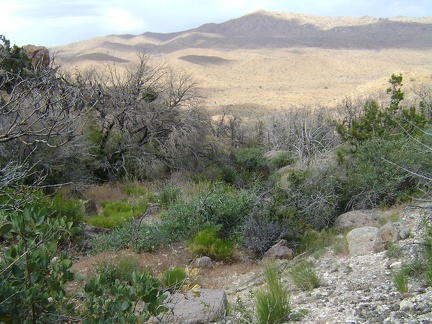 Descending into Bluejay Mine valley below Wild Horse Mesa
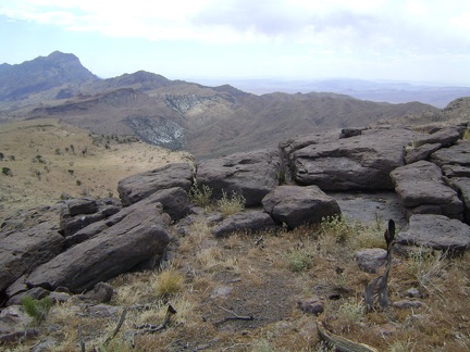 I walk over rocks and partway back toward Beecher Canyon before turning 180 degrees to get below Wild Horse Mesa
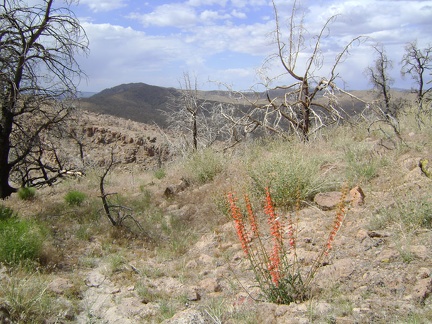 A bright-red firecracker penstemon is always a welcome sight in this often-beige landscape
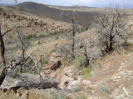 There's my route back down to Bluejay Mine: that row of green junipers below
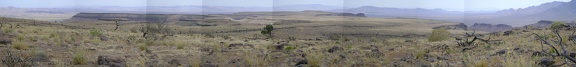 Panorama across Wild Horse Mesa looking south from near the summit
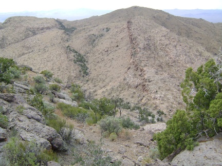 A canyon just west of Wild Horse Mesa looks like a promising route downward
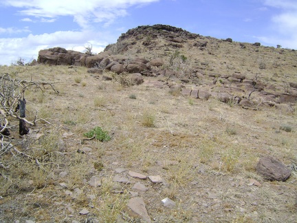 Wild Horse Mesa summit lies just ahead
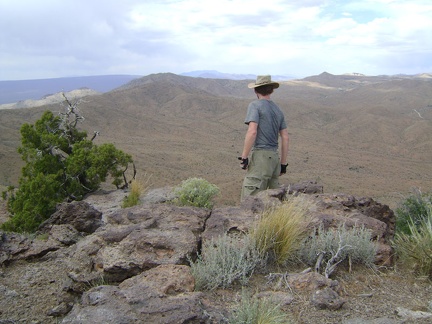 Wild Horse Mesa, Mojave National Preserve; I enjoy the views from the summit at about 5600 feet