Home 7119

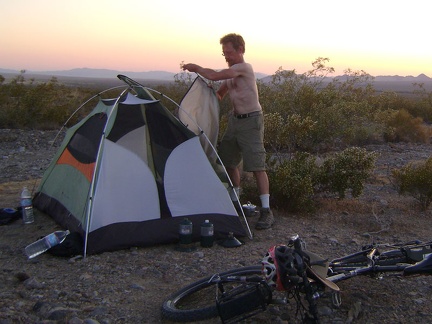 Sunset at Kelso also means removing the tent's outer flap to let the hottest air escape through the screen
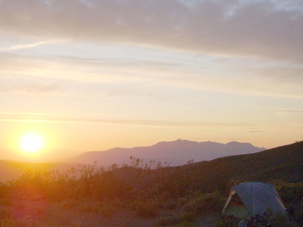 Sunset at Pachalka Spring, Mojave National Preserve, with Kingston Range in the background
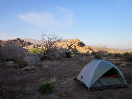 Sunset at Pinto Valley inevitably results in another tent-advertisement photo
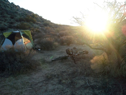 Sunset back home at the tent near Twin Buttes, I fix the broken rack piece on my bike (glad I brought extra parts!)
 Sunset fades into dusk, then darkness joins me while I enjoy the final 12 miles of the ride into Baker
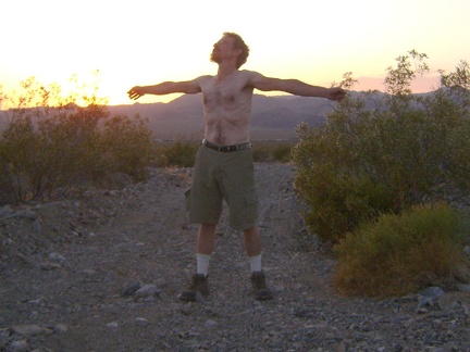 Sunset finally approaches like I knew it eventually would; I've been imagining its arrival from inside my tent for a while now
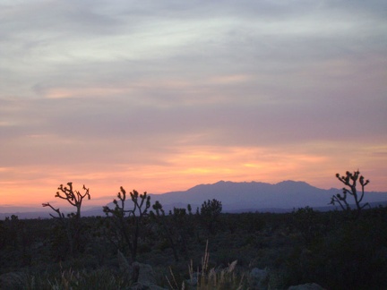 Sunset glows around the distant Clark Mountain range tonight
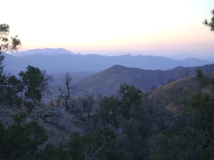 Sunset haze drifts over the Ivanpah Mountains and the Clark Mountain Range beyond
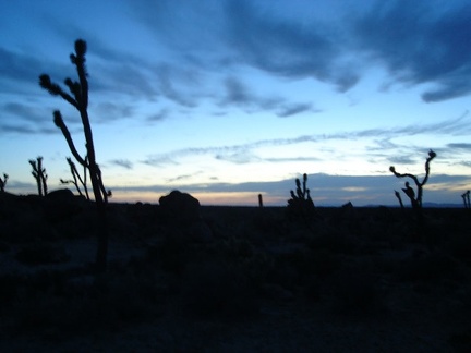 Sunset in the Cima Dome area is always beautiful, and tonight is no exception
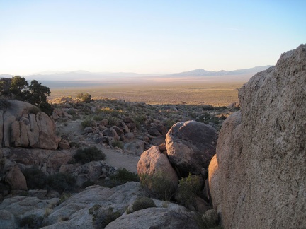 Sunset is approaching, so it's time to turn around and start the mile-long walk back to the tent
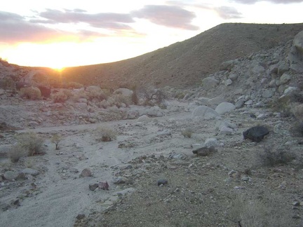 Sunset near Eyeball Rock
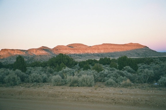 Sunset on Pinto Mountain, Mid Hills, Mojave National Preserve
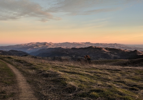 Sunset on Steer Ridge near Willson Peak, January 2019
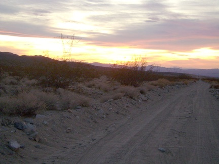 Sunset on the Kelso Dunes power-line road is nice, and the road starts out being OK for riding
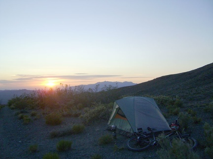 Sunset tonight at Pachalka Spring, Mojave National Preserve, is quiet again, but not quite as spectacular as last night's show
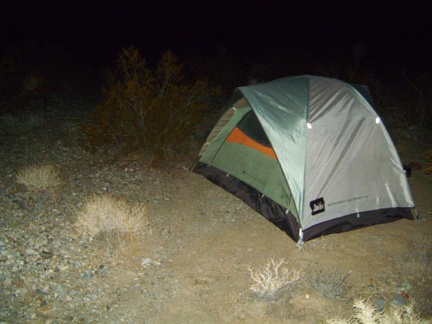 Sunset went away half an hour ago, and I arrive back at the tent just past 17h30
 Sunset will be a couple of hours from now; I'm trying to decide whether to go all the way to Hackberry Mountain, ahead at left
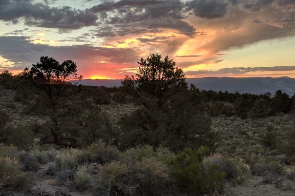 Sunset, Humboldt-Toiyabe National Forest
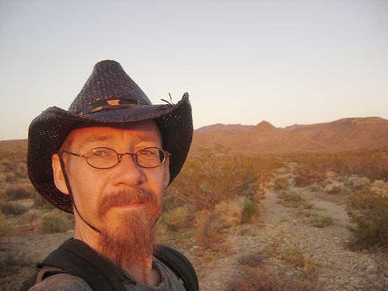 Sunset, my favourite time of day, on the middle fork of Globe Mine Road, approaching my campsite
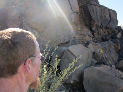 Sunshine
 Sunshine warms a chilly Death Valley canyon
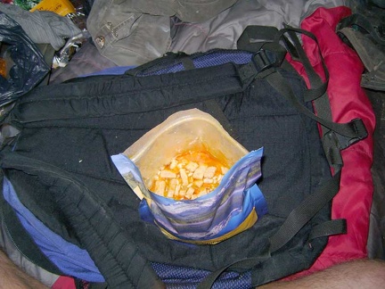 Supper tonight is Mountain House Chicken and Rice, a flavourful and oily 800-calorie "meal for two"
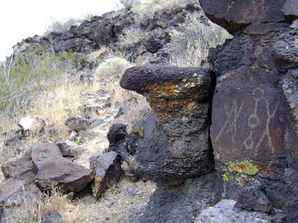 Sure enough, rock art is to be found up there
 Sweet! I stumble across another, smaller, general store and gas station that carries the propane bottle I want!
 Swirling hillside
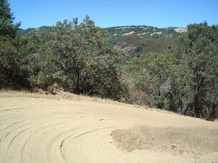 Switchback on Poverty Flat Road on the way down
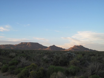 Table Mountain and Twin Buttes take on a postcard-photo aura as I ride slowly up Black Canyon Road
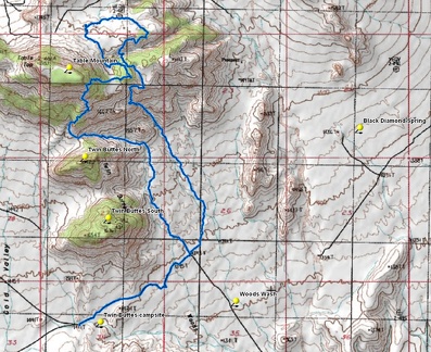 Table Mountain hike route
 Table Mountain is getting a bit closer now; I didn't expect to come this far up
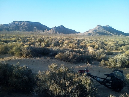 Table Mountain on the left, and Twin Buttes: a classic Mojave National Preserve view that I usually see from Black Canyon Road
 Table Mountain Wilderness, Nevada
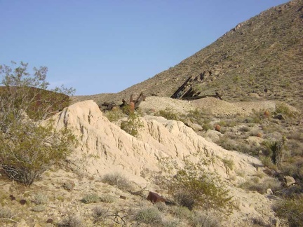 Tailings from the mine at the end of the middle fork of Globe Mine Road
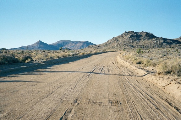 Taken east to west, Cedar Canyon Road is a slow route due to its occasional deep wash crossings, and ever-so-slight uphill
 Taking a break in the shade in Keystone Canyon, Mojave National Preserve.
 Taking a breather at the Orestimba Corral to assess our condition after crashing on the way down the hill from Will's Pond.
 Taking a Joshua-tree break on Walking Box Ranch Road
 Taking a short rest on Dunne Avenue in one of my favourite shady spots on the way to Henry Coe State Park.
 Taking another short break, an excuse to stop and stare at the scenery
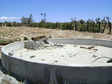 Tank 3 is dry, like most of the old cisterns I've seen in Mojave National Preserve
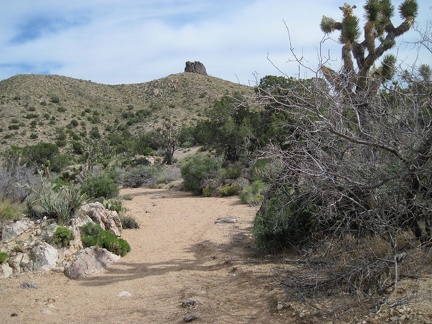 Taylor Spring should be somewhere around the next bend
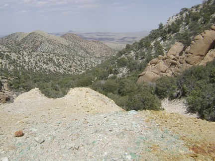 Teal-blue rocks are scattered around the mine site while "Sleeping-head Rock" keeps watch from the right side
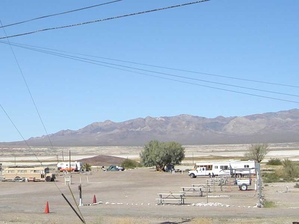 Tecopa Hot Springs campground is not very busy right now
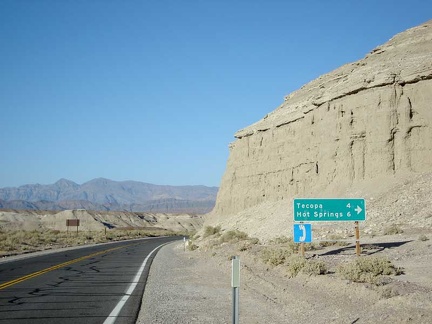 Tecopa Hot Springs just a few miles away!
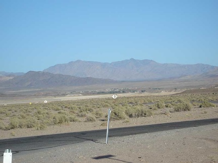 Tecopa off in the distance
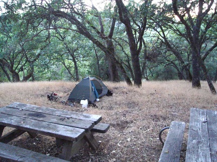 Tent is set up at the Yerba Buena campsite, home for the night.
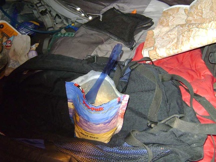 Tent supper tonight is instant Mountain House Beef Stew, one of my favourite dehydrated backpack meals
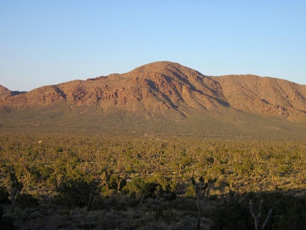 Teutonia Peak Trail bends and heads toward the northeast
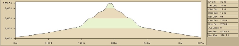 Teutonia Peak Trail, Mojave National Preserve, elevation gain
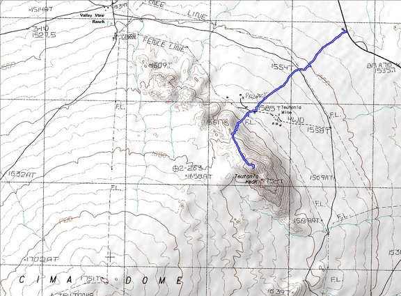 Teutonia Peak Trail, Mojave National Preserve, hiking route
 Textures
 Thamnosma montana (Turpentine-broom) in Saddle Horse Canyon
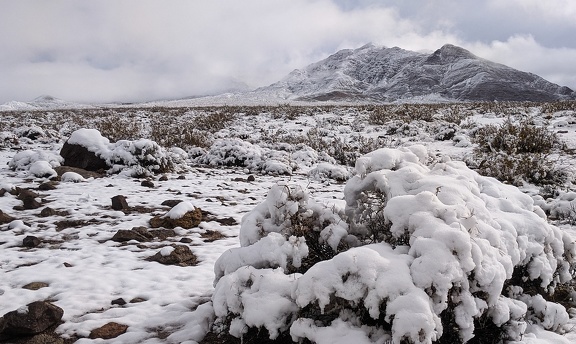 Thanksgiving 2019 snowfall melts away
 That old house at Barnwell that I always notice with all the junked vehicles around it: the gate is open
 That patch of buildings ahead is Nipton; I'll take a break there in a few minutes
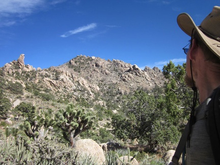 That rock outcrop on the ridge line at far left looks like a hawk's head
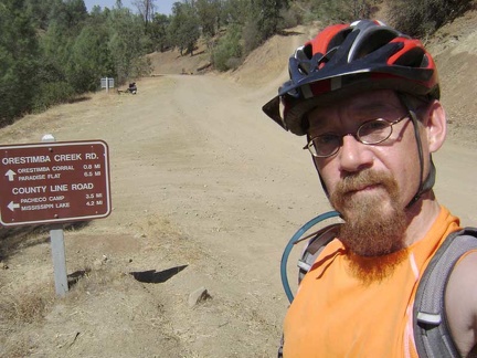 That was fun; I'm down in the valley now at Orestimba Creek and it only took 15 minutes to get down the hill.
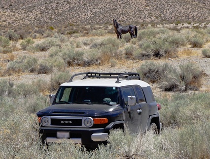 That wild horse stood there watching me for over an hour while I explored the area
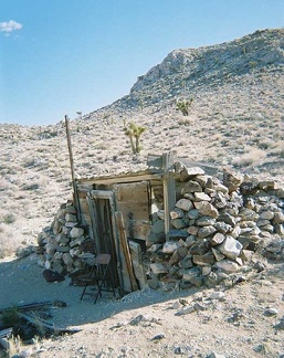 The "cold storage house" at Lost Burro Mine
 The "dreaded steep part" where I must remove my heavy saddlebags from the bike and walk them up the hill separately.
 The "good road" that is not on my maps turns out to be very short and dead-ends at a guzzler
 The "road" to Bolder Spring narrows
 The "Shortcut Road" is only 3/4 mile long; soon enough, I'm approaching Cedar Canyon Road, that horizontal line ahead
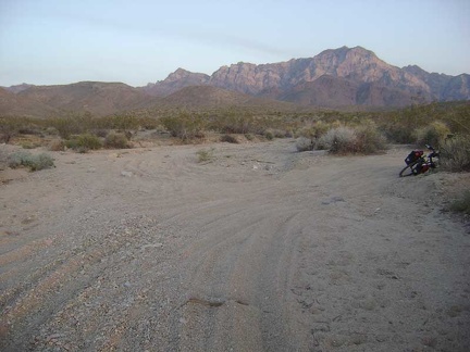 The "shortcut" ends at a junction with the middle fork of Globe Mine Road
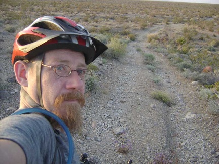 The "shortcut" road dips down into a wash as it connects from the south fork to the middle fork of Globe Mine Road
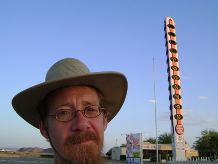 The "world's tallest thermometer" displayed 93 degrees F (33C) when I got here yesterday
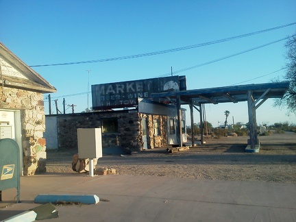 The 'core' of Essex, CA is the old post office house at left and the abandoned café straight ahead
 The 1.5-mile-long road to Blue Jay Mine rapidly deteriorates, but makes for a fun ride on a mountain bike
 The 10-ton bicycle leaves Ivanpah Road for the Sagamore Cut-off Road
 The 10-ton bicycle rides down New York Mountains Road alongside Watson Wash toward Cedar Canyon Road
 The 10-ton bike and I are ready to leave downtown San José and head to Mojave National Preserve again!
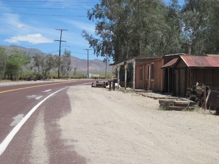 The 10-ton bike and I wobble up Nipton Road away from the campground and pass a few antique buildings while leaving town
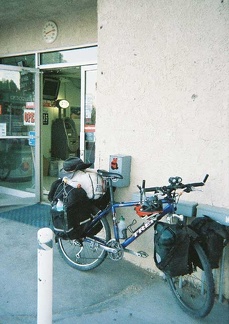 The 10-ton bike and its sore knee take a break at the Shoshone general store and gas station
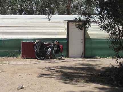 The 10-ton bike awaits departure at Nipton's outdoor sink after the final, heavy addition of my water supply
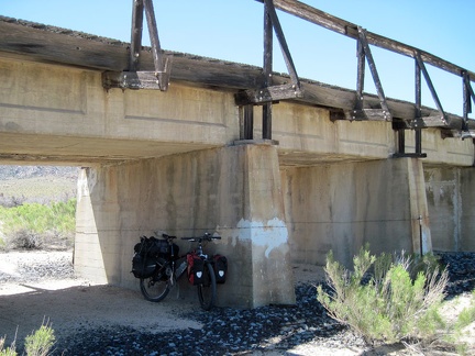 The 10-ton bike breaks briefly under the train trestle at Brant Road
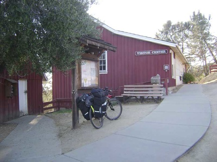 The 10-ton bike enjoys the rest while I sign in for eight nights of backpacking using the Park's self-registration system.
 The 10-ton bike enjoys the rocky backdrop at Hole-in-the-Wall one last time while my cell phone recharges
 The 10-ton bike follows the tire tracks through the creosote bush scrub
 The 10-ton bike has been rebuilt and is ready to leave Kelso Dunes
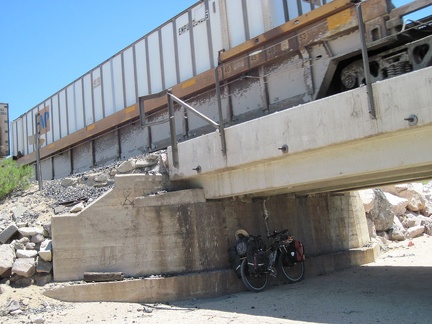 The 10-ton bike hides in the shade of the trestle at Joshua siding while a freight train rumbles overhead
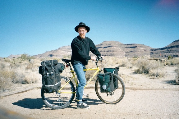 The 10-ton bike is all packed up and we're leaving Hole-in-the-Wall Campground, Mojave National Preserve
 The 10-ton bike is all packed up in my backyard at 5h45
 The 10-ton bike is all packed up; after a few final sips of water, I'm ready to head down Pachalka Spring Road
 The 10-ton bike is back to weighing 10 tons and I ride up Button Mountain Road to rejoin Aiken Mine Road in a moment
 The 10-ton bike is now packed and assembled, ready to leave the Royal Hawaiian and spend two weeks in Mojave National Preserve
 The 10-ton bike is packed up and ready to go to Mojave National Preserve on Xmas day
 The 10-ton bike is ready to leave downtown San José to head for Henry Coe State Park.
 The 10-ton bike is ready to leave Furnace Creek
 The 10-ton bike is ready to leave Mid Hills campground for Nipton
 The 10-ton bike packed to go, I start the trek back up Jackass Canyon toward Kelbaker Road
 The 10-ton bike packed up, off I go down the hill toward Ivanpah Valley
 The 10-ton bike pushes ahead on The Lost Road, with significant GPS assistance
 The 10-ton bike reassembled, I'm ready to put my helmet on and start riding up the Kelso Dunes power-line road
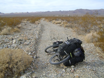 The 10-ton bike slithers down Cornfield Spring Road at 5-7 miles per hour toward Kelso Depot
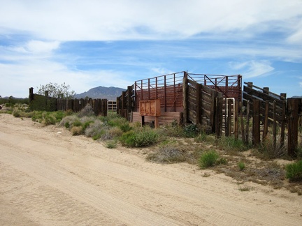 The 10-ton bike takes a break at the junction of New York Mountains Road so I can check out an old OX Ranch corral
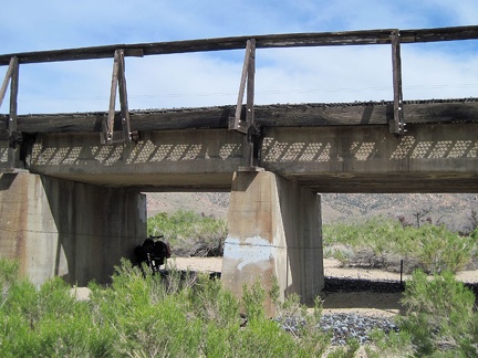 The 10-ton bike takes a break for a few minutes under the train tracks on the road leading up into the New York Mountains
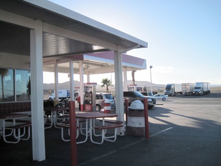 The 10-ton bike takes a rest behind the vacant outdoor seating (it's chilly today) at Ludlow's Dairy Queen gas station
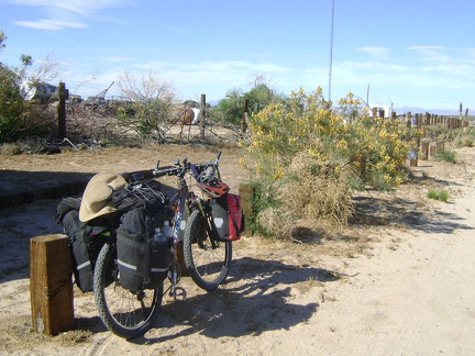 The 10-ton bike takes a short rest by the Cima store before the final six-mile ride up Cima Road to Cima Dome
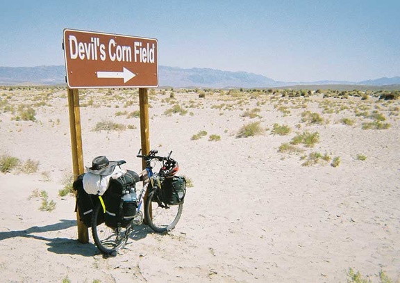 The 10-ton bike takes another brief break at the Devil's Corn Field
 The 10-ton bike waits a few feet above the rocky bottom of China Hole Trail while I look for a campsite.
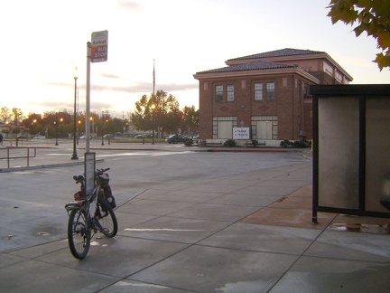 The 10-ton bike waits at the Amtrak bus stop at the San José train station
 The 10-ton bike waits for me back on Indian Springs Road
 The 10-ton bike waits outside the doors to the Kelso Depot visitor centre
 The 10-ton bike waits patiently for the Amtrak bus outside Barstow Station
 The 10-ton mountain bike slowly gains altitude on Cedar Canyon Road
 The 10-ton's bike driver is also ready to go to Henry Coe.
 The 12-mile gradual descent to Kelso is fun, but I usually have a headwind that slows me down considerably, like I do today
 The 13-mile ride back to Mid Hills Campground up Black Canyon Road starts on pavement
 The 2.5-mile hike back to the tent is pleasant, and I'm enjoying the gentle downhill as I sweat under the hot sun
 The 2005 brush fires passed through Saddle Horse Canyon, but a few juniper trees survived
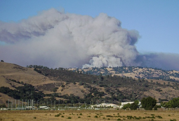 The 2007 Henry Coe Park fire grew significantly in the hours since I left the park
 The 3-mile hike up the dead-end road to Deer Spring climbs slowly, then I hike over the summit of Cima Dome through joshua trees
 The 3/4 mile drop down into the canyon to Kelly Lake, 450 feet below, was fun.
 The 8.5-mile descent down Kelbaker Road to Kelso Depot is always fun
 The abandoned Henning Motel in Newberry Springs appeared in the famous Bagdad Café movie years ago
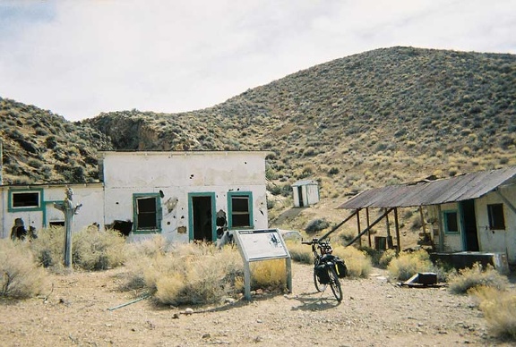 The Aguereberry cabin and outbuildings are in fairly good condition
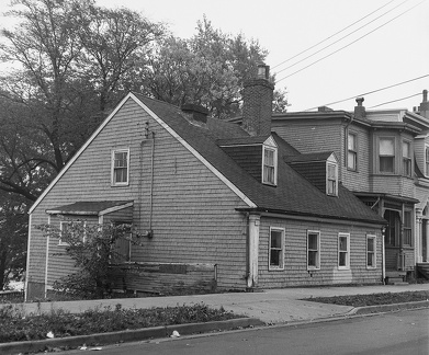 The Akins Cottage, 2151 Brunswick Street (formerly 285 Brunswick), Halifax, 1982
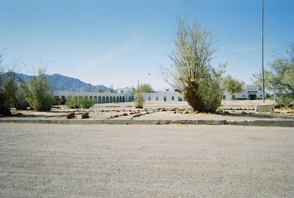 The Amargosa Opera House complex is really quite large and parts of it are not in use
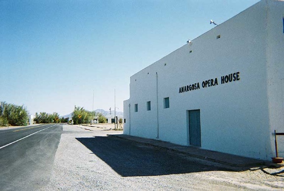 The Amargosa Opera House is the main building in Death Valley Junction
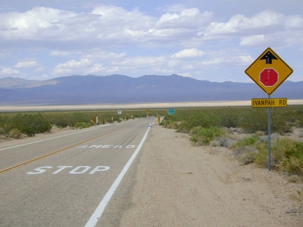 The amazing 11.5-mile downhill on Morning Star Mine Road abruptly ends at a T-intersection and stop sign at Ivanpah Road
 The amount of rock strewn about in "South Broadwell Wash" increases as I continue hiking
 The Amtrak bus deposited me yesterday at Barstow Station, just before sunset
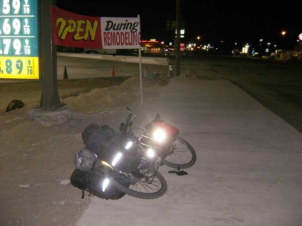 The Amtrak bus leaves me at Baker, California at around 20h30, gateway to Mojave National Preserve
 The Amtrak bus left the 10-ton bike and I in Baker, California, gateway to Mojave National Preserve, near the end of the day
 The Amtrak bus out of Bakersfield climbs over the mountains
 The Amtrak bus stops briefly at the town of Mojave, California
 The animal trail ends at Black Diamond Spring, Mojave National Preserve, just as expected
 The area here below Teutonia Peak is also known for its big boulder outcrops
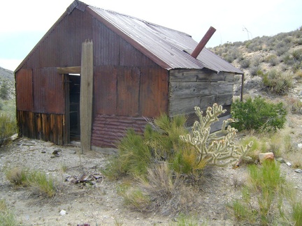 The back side of the cabin near Copper World Mine
 The back side of the main house at Death Valley Mine viewed from the corral
 The badlands along Highway 127 near Shoshone and Tecopa always get my interest
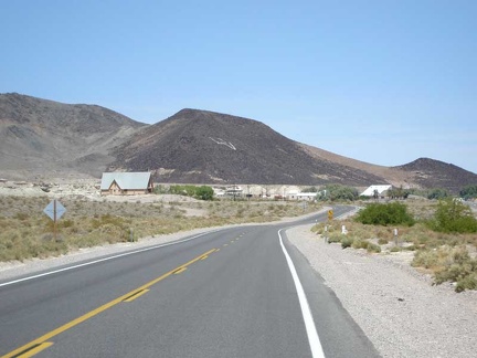 The badlands let up as Highway 127 enters the village of Shoshone with its restaurant, post office and general store
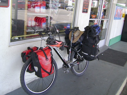 The Baker Country Store ran out of tea bags, so I go to the ridiculously expensive Baker Market to see if they have any in stock
 The Barber Mountain Loop Trail climbs slowly from the Rings Trail summit
 The Barber Mountain Loop Trail rises up a short, steep hill overlooking the hidden valley
 The Barnwell and Searchlight Railway grade is a great mountain-bike ride today, 100 years after the rail line was decommissioned
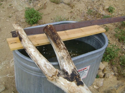 The basin at Chicken Water Spring is mostly full, though the water may not be the freshest
 The beautiful ride down Mahoney Meadows comes to an end when I reach the intersection of the China Hole Trail.
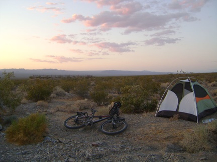 The beauty and serenity of a desert sunset tends to recompense for any hardships incurred during the day's work
 The beginning of the hill on Mahoney Meadows Road that I'm about to descend.
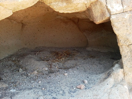 The beginnings of a nest in one of the igloos near Cave Spring
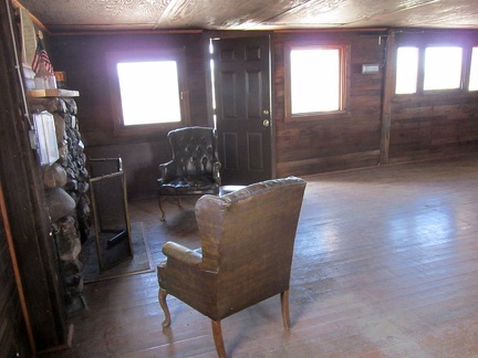 The Bert Smith rock house has a low ceiling and dark-colored surfaces
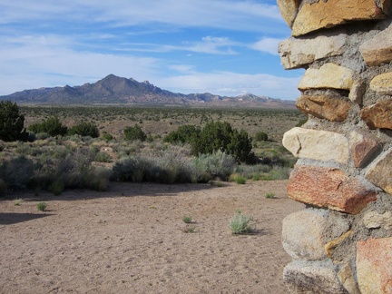 The Bert Smith rock house has an excellent view from the front door
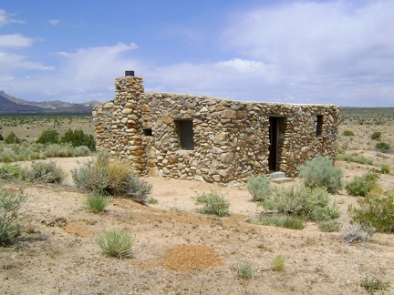 The Bert Smith Rock House sports deeply recessed windows and an unusual lack of a roof line
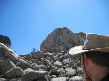 The big rock outcrop ahead at the top looks insurmountable to non-rock-climbers, but I'll continue upward to see how close I get
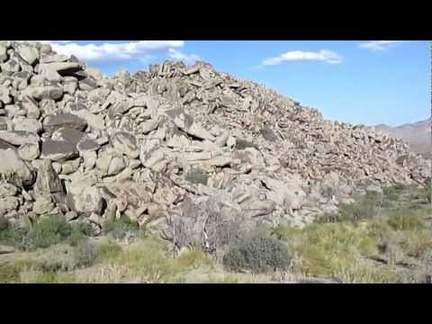 The big rock piles here above Watson Wash are even more impressive up close than they are from a distance
 The bike all packed up, I begin the 5.5-mile trek down Old Kelso Road along the east side of Devil's Playground
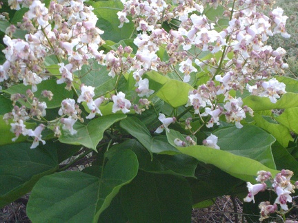 The blossoms on this tree look almost like the flowers of a Palmer's penstemon; hummingbirds probably love these
 The board-and-batten structure of the old Cima store hasn't been whitewashed in a very long time
 The bottom of Bear Mountain Road crosses Coyote Creek, which is dry at this time of year.
 The bottom of Cima Road exits Mojave National Preserve; I take a break by the monument that folks see upon entering the Preserve
 The bottom of the road in the canyon at Coyote Creek becomes visible.
 The Boulder
 The bovines along Gold Valley Road look at me for a moment
 The boxcar cabins at Rex Mine have a board-and-batten exterior
 The boy drops me off at the Hunting Hollow entrance to Henry Coe and we bid each other goodbye for a week
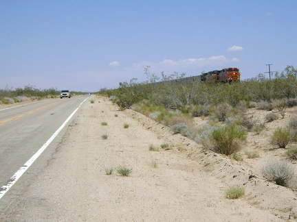 The break helps a lot, and I get back on Kelso-Cima Road for the last few miles to Cedar Canyon Road and watch a train pass by
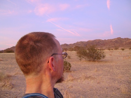 The brilliant pink Mojave Desert sunset is reflecting in the clouds to the east of me
 The Bristol Mounatins powerline road is looking good again, with a just bit of kitty litter on its surface
 The Bristol Mountains behind me pick up the gorgeous gold of sunset as I hike down the rocky fan toward Broadwell Dry Lake
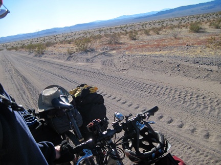 The Bristol Mountains low road has a nice coating of kitty litter on the surface in many places
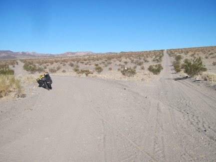 The Bristol Mountains powerline road splits here into a high road and low road, which rejoin each other beyond the hill
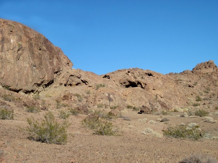 The Broadwell Natural Arch area is fun because of the mini-caves everywhere that invite exploration
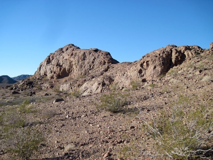 The Broadwell Natural Arch formation has the shape of a horse's saddle when viewed from the southeast
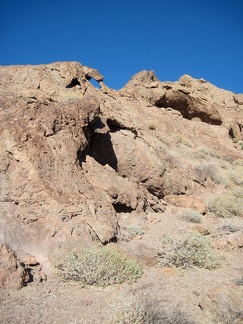 The Broadwell Natural Arch formation is full of eroded little caves in the rock
 The bugs seem especially fond of these plants
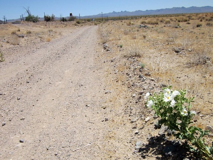 The bumpy Nipton-Desert Road is starting to give me a headache, so I'm happy to take a break by this prickly poppy
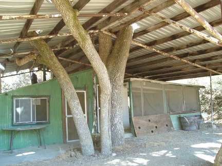 The cabin at Arnold Horse Camp sits in the shelter of a big tin roof
 The cabin has no floor other than the natural gravel, and no apparent foundation
 The cactus garden in front of the Hotel Nipton is artfully built of multi-coloured rock
 The cactus, rock, yucca and brush obstructions in the canyon are mostly easy to get around
 The Cady Mountains pick up the chilly orange-purple sunset glow on the other side of the freeway from the Ludlow Chevron station
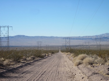 The Cady Mountains powerline road cuts a straight line across this part of the Mojave Desert
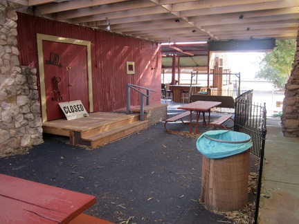 The café at Nipton is closed right now due to plumbing problems
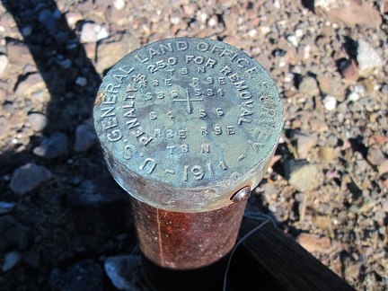 The cairn here serves to identify a survey marker, "$250 fine for removal," it says
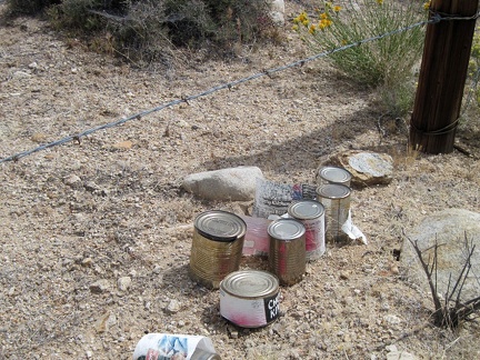 The cans are all food cans; full, upright, different from each other, and only slightly weathered: could this be a food cache?
 The canyon climbs over more rocks and seems to be heading toward a plateau above with open sunshine
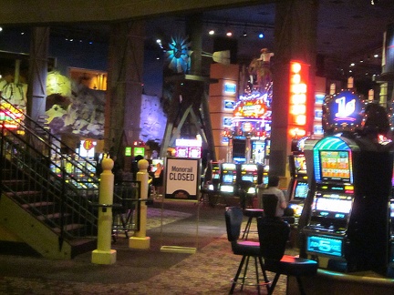 The casinos at Primm are quite a visual spectacle, with brilliant lights everywhere
 The challenge right now is to hike to my left and get over to that middle ridge without descending down into Eagle Rocks wash
 The China Ranch bakery and store at the end of China Ranch Road
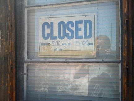 The Cima store is closed today, or at least right now; the hours posted are basically meaningless
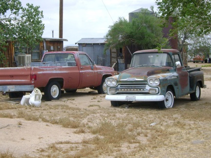 The Cima Store property also serves as a graveyard for many expired motor vehicles
 The cistern at Rock Tank has two layers: a brick inner layer and a stone outer layer
 The clay soil on Crucero Road as it skirts the shore of Broadwell Dry Lake has big cracks
 The climb is going really well, probably because it's the end of the trip and I'm stronger now after two weeks of this
 The climb up Black Canyon Road toward Mid Hills only lasts a mile until I reach an almost-flat plateau (Round Valley)
 The climb up Cedar Canyon Road into the Mid Hills starts out well
 The climb up County Line Road isn't steep, but I just can't seem to get any energy going on this hot day
 The climb up the old road over the tailings pile is steep
 The climb up to Pacheco Ridge brings with it more excellent views of the ridges beyond
 The climb up to this Castle Peaks saddle is about 500 feet elevation in about 3/4 mile from Indian Spring down below
 The climb up Wagon Road becomes more moderate after the initial steep section out of Hunting Hollow
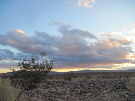 The clouds to my right and behind me are picking up some nice lighting as the sun starts to set on Route 66
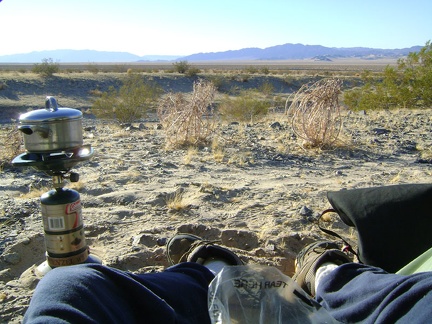 The cold I caught last night is pretty bad, but I'm up by 8h making coffee anyway; today I pack up and leave Devil's Playground
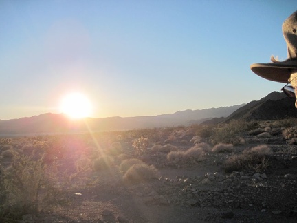 The cold sun starts to set behind the Cady Mountains on the far side of Broadwell Dry Lake
 The colourful yellow lichen on these rocks is quite painterly
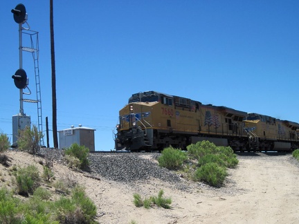 The conductor of an oncoming train toots his horn and waves at me at Joshua siding, Mojave National Preserve
 The constant incline isn't all that steep
 The cool rocks formations in the Castle Peaks area are endless; this one harbors a small natural arch
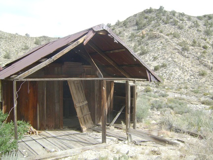 The Copper World Mine cabin is quite modest, but has one luxurious feature for a desert dwelling
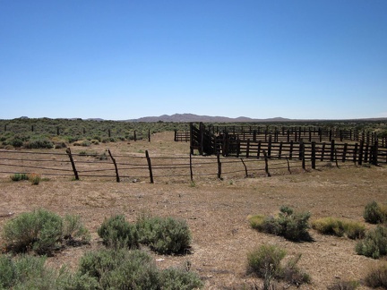 The corral at Government Holes, Mojave National Preserve