Home 7119

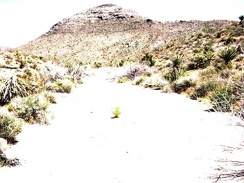 I walk a quarter mile up the wash, looking for signs of the old road to Tough Nut Mine
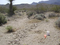 After breakfast, it's that wonderful moment I've been waiting for: digging a cat hole
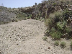 I return to the main wash and follow it further upward as it carves its way slowly into the base of foothills
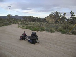 I look across the sand trap here and ponder the abandoned buildings at Death Valley Mine
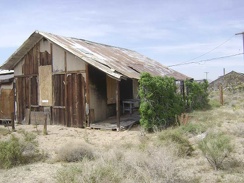 Death Valley Mine house #2 also has drought-tolerant vines growing in front of it
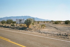 Closer to Essex, I pass the "This is IT" RV park, and not much else
 Coming up to the "big bend," I can now see the town of Kelso down in the distance
 When I reach a patch of mature, unburned sagebrush, I turn east (left) and begin hiking cross-country to Mid Hills campground
 County Line Road is picturesque as it winds through chaparral and oak woodlands with amazing views off to the east
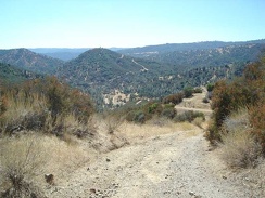 Getting closer to Coyote Creek at the bottom of Bear Mountain Road.
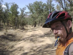 I continue riding down Orestimba Creek Road.
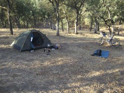 Jackrabbit Lake campsite, morning. Time to get out the iodine tablets.
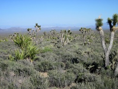 I stop again to take in the views eastward across Nevada's scenic Wee Thump Joshua Tree Wilderness
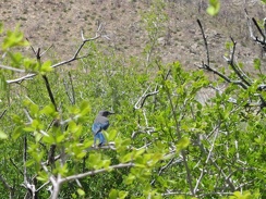 I've been hearing occasional bluejay chirps all morning
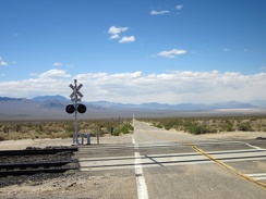 At the Ivanpah Road railroad crossing, I make a right turn toward Nipton on the dirt road (Nipton-Moore Rd) that hugs the tracks
 The road to Coyote Springs from my campsite is really sandy in places
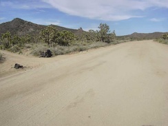 I reach Death Valley Mine Road and turn left here to begin skirting around the west side of the New York Mountains
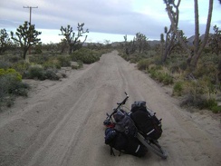 I figure I may as well continue onward a little further and see if the deep sand lets up
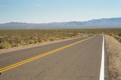 On Essex Road, it's 6.3 miles past Interstate 40 to the nearly dead town of Essex, California at the base of the distant hills
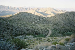 We start the climb up Goldbelt Grade to get over Hunter Mountain by dark
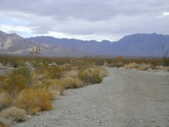 I stop for a moment when I pass the unmaintained Vulcan Mine Road
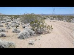 I take a short energy-bar break in a sandy wash in Woods Wash Valley just before reaching the powerline road
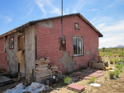 Behind the little house on Cedar Canyon Road, some of the old fake-brick tiles are neatly piled
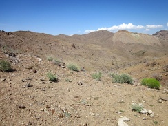 I'll follow the Providence Mountains ridge line to the left, then head right later to that high point at centre (Hill 1713)
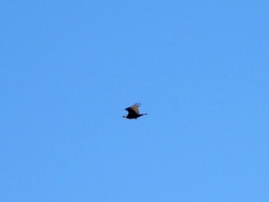 A turkey vulture, one of my favorite birds, flies overhead, reminding me that I'm alive
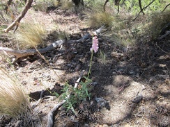 I've seen a few penstemons blooming here in Butcher Knife Canyon today
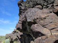 Back on a road, I ride for a while, then stash the bicycle in the brush and go for a hike to a rocky area
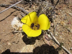 I stop to take a closer look at the Munz' mariposa lily
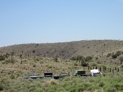 As I ride past Barnwell, I have to take another photo of the lined-up junked cars
 Parts of this fan host fewer creosote bushes than usual, allowing many tufts of ankle-low grasses to grow
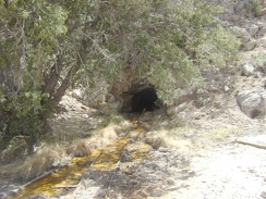 A trickle of rusty, contaminated water exudes from a tunnel in the hillside above the mine tailings
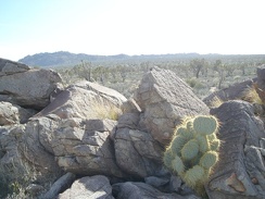 View of Teutonia Peak from the area of my campsite near Sunrise Rock
 The final five-mile stretch of Essex Road to Mitchell Caverns (Providence Mountains State Recreation Area)
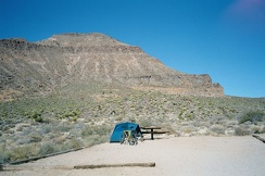 One final view of my campsite at Hole-in-the-Wall campground, Mojave National Preserve, before I pack up and leave
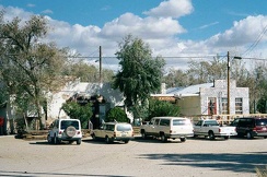 Nipton General Store and the café building
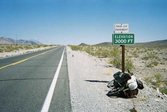 3000 feet, I'm almost at the top of my climb out of Death Valley
 As I approach Kelso, I see an RV driving up the paved Kelbaker Road
 It turns out that the final mile of Kelso Dunes Road has not been freshly graded, and is the usual sand and washboard
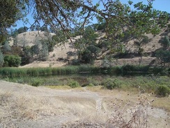 Mississippi Lake itself behind the tent.
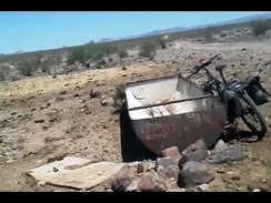 Bees in a water tank along Woods Wash Valley Road
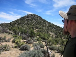 From the saddle, I look back at McCullough Mountains Peak 6557
 The so-scenic ride through the joshua-tree forest along Wee Thump Wilderness ends here; time to ride the highway for a bit
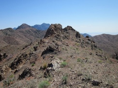 I take a look behind me at one of the spikes on the Providence Mountains ridge line that I just hiked over
 I return to the task of riding back to Primm, Nevada and have views of the Castle Peaks from this part of Ivanpah Road
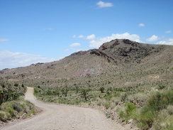 I recognize the Bathtub Spring Peaks area as I ride down Ivanpah Road
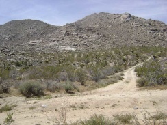 1/3 mile up the main road, I turn down the short road that dead-ends at Coyote Springs
 Yup, it's a stream
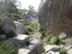 A rattlesnake startles me as I approach this big boulder along the Butcher Knife Canyon stream
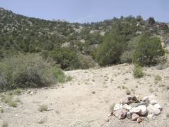 I come across another campsite with a fire ring near the road
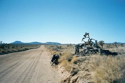 This very gnarled old tree on Cedar Canyon Road gets my attention
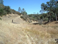 Sometimes, the "road" rises above the dry creek briefly and then rolls back down to meet it again.
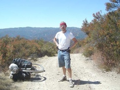 Bear Mountain Road drops off toward the valley below me.
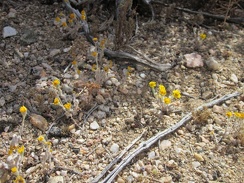 Gold flowers growing in the gravel near my tent, which I think at first are goldfields (Lasthenia californica)
 As I drop down into yet another wash, I realize I'm quite close to Taylor Spring (dry), where I hiked last year
 After a bit more hiking, I arrive at more rocks
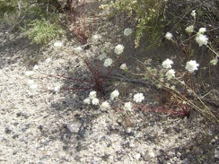 I'm noticing a lot of white-flowered buckwheats along Kelbaker Road on the way up toward the summit
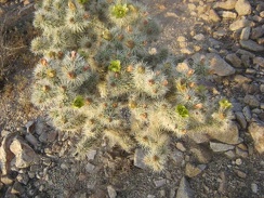 On the way back to camp from the Good Hope Mine, I notice a cactus that has green flowers
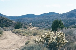 Wild Horse Canyon Road meanders over the hills
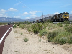 One of several long freight trains passes by as I slowly rise up Kelso-Cima Road
 Up on top of it all on Willow Ridge Road.
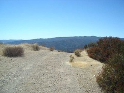 Another drop-off on Bear Mountain Road.
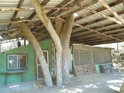 The cabin at Arnold Horse Camp sits in the shelter of a big tin roof
 Water tank and windmill on Gold Valley Road, Mojave National Preserve
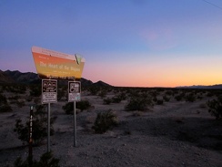 As the sun disappears, I ride past another BLM Heart-of-Mojave sign at the junction of Crucero Road and the Cady Mtns powerline
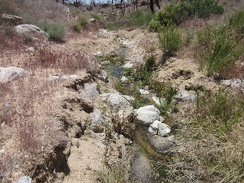 I continue walking up the wash and am amazed when I reach a small stream
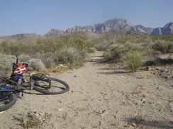 I get back to camp around 17h and happily find that my bicycle is still here waiting for me to use it tomorrow
 The climb up the old road over the tailings pile is steep
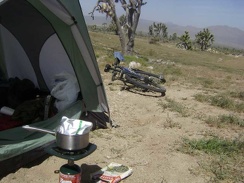 I heat up a boil-in-bag Indian-style breakfast, happy that my tent survived last night's wind storm
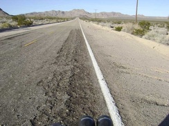 The climb is going really well, probably because it's the end of the trip and I'm stronger now after two weeks of this
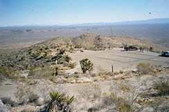 A view of the Mitchell Caverns campground from a bit higher up shows how it's little more than a small, scenic parking lot
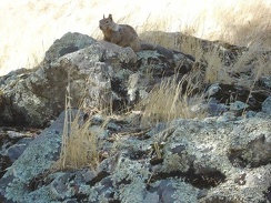 Los Cruzeros squirrel
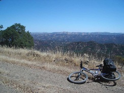 Some amazing views from County Line Road across the Orestimba Wilderness and the ridgetops beyond.
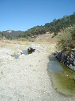 I approach my destination down here in the canyon, Arnold Horse Camp
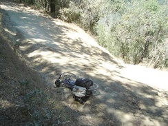 I tackle the tough trek up Poverty Flat Road toward park headquarters.
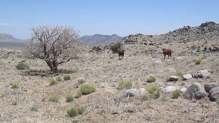 Cows graze by an old burned juniper tree in upper Gold Valley
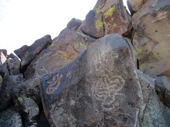 Bulb
Bulb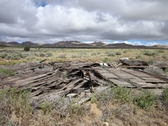 I stop to check out the remains of an old building along Howe Spring Road
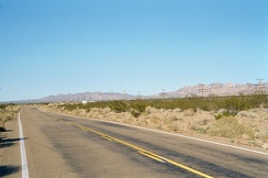 Continuing uphill on Kelso-Cima Road, looking ahead
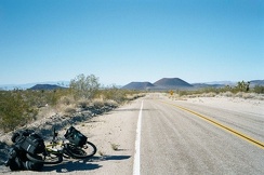 Looking back down behind me on Kelbaker Road as I approach the summit at 3800 feet
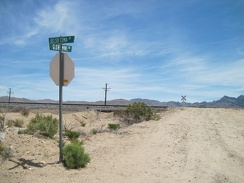 I pass Globe Mine Road, the only signed road off Kelso-Cima Road between Kelso and Cedar Canyon Road
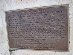 Detail view of the E Clampus Vitus plaque at the junction of Mojave Road, Kelso-Cima Road and Cedar Canyon Road
 I catch the red rays of sunset as I pedal down Kelbaker Road toward Baker
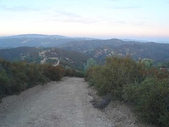 Willow Ridge Road, lots of steep ups and downs as it rides on the ridge top. I have to drag the bike up some of the steep hills
 Leaving Mississippi Lake on the old road.
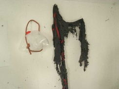 Decomposed scarf and water bottle decorate the living room wall.
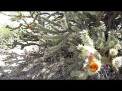 There are a couple of different types of Cholla cacti here in the area just south of Rustler Canyon
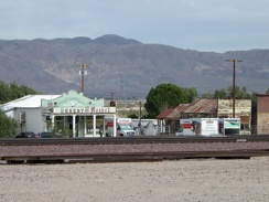 On the other side of the train tracks from Route 66 is Daggett's general store, the Desert Market
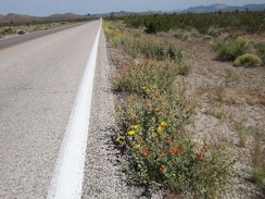 A few bouquets of yellow and orange dress up the seven-mile straight-line ride to Searchlight, visible even from here
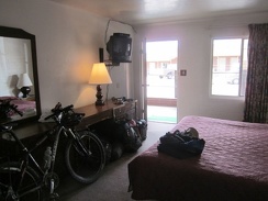 My room is clean, though the mattress rather worn-out, and it's bicycle-friendly
 A fallen joshua tree lays in this wash below the Castle Peaks
 A few yellow Groundsel flowers and orange Desert mallows brighten up the burned area here
 I come around a bend in Butcher Knife Canyon and get my first view out toward Cima Dome
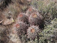 Cactus
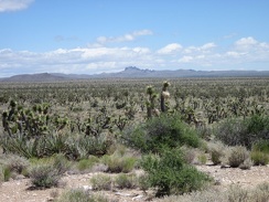 I can see across the eastern end of Lanfair Valley over to the Castle Peaks area, where I spent a few days last week
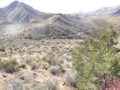 After climbing a gap between hills where the old connector road should be, I've ended up above the road to Tough Nut Mine
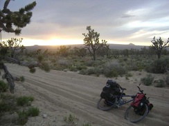 Dragging the 10-ton bike through the sand is quite tiring and I'm expending a lot of energy here
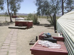 One of the final things to do before leaving Nipton is to replenish my water supply to full capacity at the outdoor sink
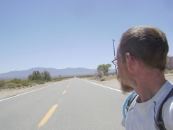 I've made my left turn on Ivanpah Road, which heads south for three miles
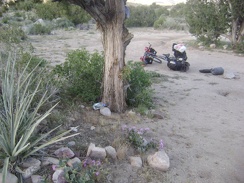 Time to unpack and set up camp in this high-desert area whose landscape I like so much
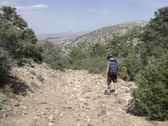 I start the walk back down the old road to my campsite at the bottom of Keystone Canyon
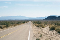 After exiting Hole-in-the-Wall Campground, I gradually descend Black Canyon Road southbound toward I-40
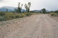 Pinkish gravel on Hart Mine Road; the New York Mountains are not too far away now
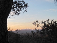 Sunset from Mid Hills campground through a pinyon pine; that should be the Kingston Range way over there
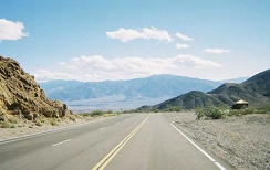 I walk up Daylight Pass Road a bit to get a view of the Hell's Gate entrance to Death Valley National Park
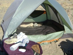 The last items to remove are the large rocks that I placed inside the tent last night to keep it from blowing over again
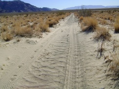 The bike all packed up, I begin the 5.5-mile trek down Old Kelso Road along the east side of Devil's Playground
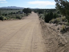 After my visit to the Bert Smith rock house, I continue riding westward on the washboard of Cedar Canyon Road
 I'm back at the Mid Hills campground entry kiosk at sunset, perfect timing!
 It looks like a few rainy patches are moving around out in the middle of Ivanpah Valley
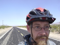 As I descend into the Kelso Valley, it's becoming noticeably warmer
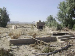 Just before I leave Kelso Depot, I stop to visit the ruins of a house across the road
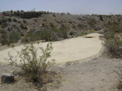 The "good road" that is not on my maps turns out to be very short and dead-ends at a guzzler
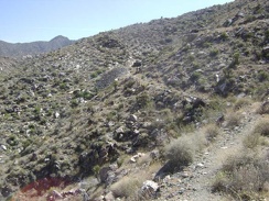 I come around a bend and it looks like the road will end at the mine tunnel and tailings pile ahead
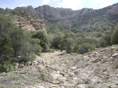 A little higher, I approach a face-like rock formation in the foreground at my left
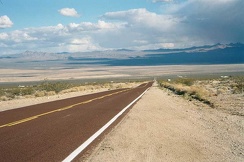 Looking back down at Nipton as I climb slowly
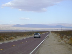 I have 8 miles of downhill on Kelbaker Road before I reach Kelso, but a strong headwind is slowing me down
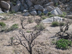 I walk across this flat area, between cholla cactus skeletons, to the next pile of rocks
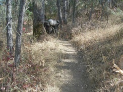 Poison oak woods on Willow Ridge Trail
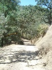 Entering the forested area, still above the canyon.
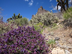 Near the barbed-wire fence is the brightest blooming desert sage I've seen yet on this trip
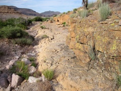 Here's another part of Saddle Horse Canyon that allows me to avoid getting more grass stuck in my socks
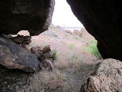 From another rock shelter in the area, I peer out into the sunshine
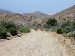 As I ride down Wild Horse Canyon Road, a few cows start to cross, but I end up inadvertently chasing them
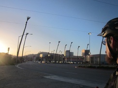 Back on the pavement of Primm, Nevada, where I started two weeks ago
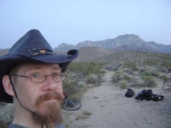 I decide that I don't really need to camp right next to that old mine site, so I pull over here and choose a campsite nearby
 I hike up the old road to Tough Nut Mine, which hasn't been used by vehicles in many years and is slowly returning to nature
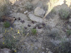 Can dump at the mine site at the end of the middle fork of Globe Mine Road
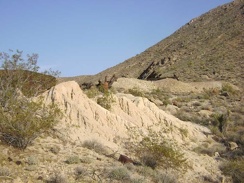 Tailings from the mine at the end of the middle fork of Globe Mine Road
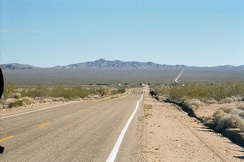 The village of Essex on historic Route 66 is that collection of buildings a mile or so ahead
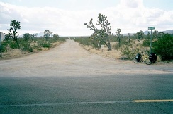 Walking Box Ranch Road turns out to be easy to locate on Nevada Highway 164
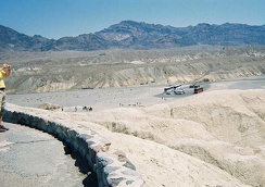 Looking down toward Highway 190 from Zabriskie Point; my world is slanted
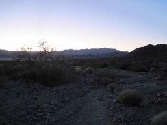 It's almost 17h, and a little sunlight still remains as I begin the hike back to camp across Broadwell Dry Lake
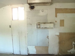 The kitchen at the cabin at Arnold Horse Camp
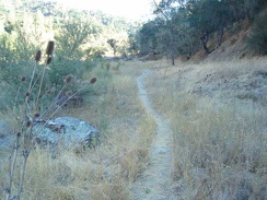 The Narrows Trail runs along the dry Coyote Creek.
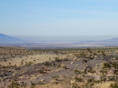 From my campsite on the Sleeping Beauty foothills, I can zoom in on a long freight train down by the freeway
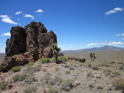 Good views over to the New York Mountains peaks from this Castle Peaks ridge
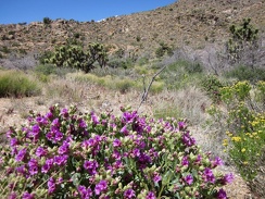 In this Castle Peaks wash is the most lush Desert four o'clock (Mirabilis multiflora) that I've seen so far on this trip
 I reach the Wilderness boundary and exit onto the part of Castle Peaks Road that is still open to vehicles
 I like this old range fence off Cedar Canyon Road in front of Pinto Mountain
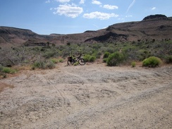 I pull over at a turn-out on Wild Horse Canyon Road, stash the bicycle in the bushes and begin the hike
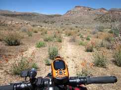 The "Shortcut Road" is only 3/4 mile long; soon enough, I'm approaching Cedar Canyon Road, that horizontal line ahead
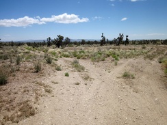 I reach a junction on the five-mile-long Sagamore Canyon Cut-Off Road
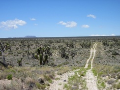 Looking back behind me, I can see all the way across Lanfair Valley to flat-topped Table Mountain
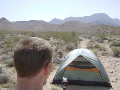 Making coffee outside my tent near the end of the middle fork of Globe Mine Road, Mojave National Preserve
 The old road to Bolder Spring is leaving the fan in favour of the foothills, and the scenery is becoming more intimate
 With Kelso well-behind me now at the bottom of the hill, the heat of the day is catching up with me a bit
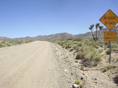 Warning to me: "Rough Road Next 23 Miles"
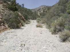 Along this stretch, the road is actually in the wash
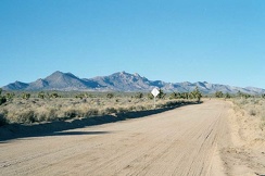 For about six miles, Cedar Canyon Road heads straight westward, after which several sharp corners appear in the road
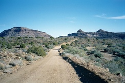 The lower part of Wild Horse Canyon Road passes interesting geological features like Wild Horse Mesa
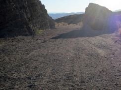 I exit "The Gate" in the Bristol Mountains
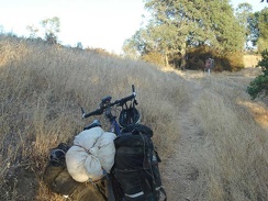 Top of the Willow Ridge Trail, where it meets Willow Ridge Road, also called "roller coaster ridge"
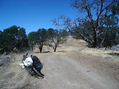 County Line Road climbs slowly as the ridge rises.
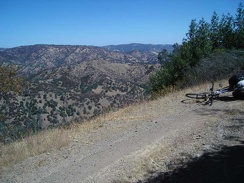 The views from County Line Road across Orestimba Valley are quite impressive along the upper parts of County Line Road.
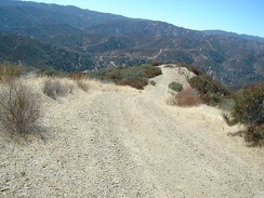 More rolling ups and downs on the way down.
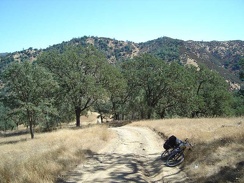 Rising slowly up Blue Ridge Road and looking back down toward the Coyote Creek canyon where I started a while ago.
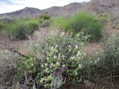 I pass a tangle of white and purple flowers on the way back to the bike near Wild Horse Canyon Road
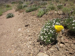 Near some patches of Fleabane (I think) is a bright yellow flower that I haven't seen before
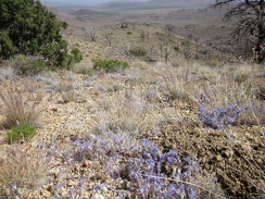 I'm not sure what these purple flowers are
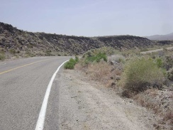 I always enjoy passing the lava flows along Kelbaker Road just beyond the road to Indian Springs
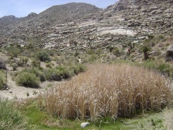 This area is almost dry right now, but is apparently a large pool of water during the wetter months
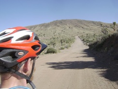 I continue rising slowly up Ivanpah Road into the New York Mountains
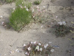 A few primroses bloom along Keystone Canyon Road a bit west of my campsite
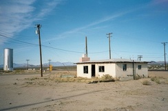 Goffs, California on old Route 66
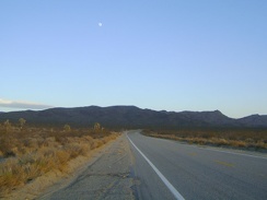 As I get closer to the Kelbaker Road summit, the moon rises behind me
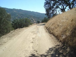 Some scenic drop-offs alongside the road into the canyon below.
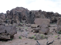 The rocks at the mouth of Saddle Horse Canyon are more interesting than further up the canyon
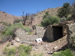 Next to Summit Spring are the remains of a concrete foundation and, presumably, a building
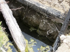 The water at Howe Spring is quite stagnant!
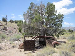 I turn down a side road, just to see what's there, and find this old shot-up car
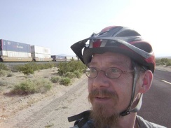 I exchange waves with the conductor of a passing freight train that rises slowly on the tracks along Kelso-Cima Road
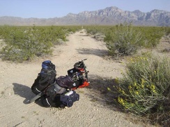 I choose the right (south) fork of Globe Mine Road
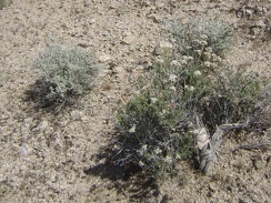 More white-flowered buckwheat
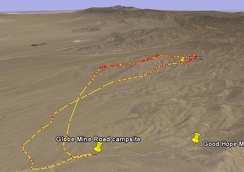 Bolder Spring hike route viewed in Google Earth
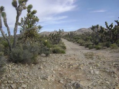 It's not only sand here: rocky patches on Death Valley Mine Road provide quite a contrast to the slippery sandy segments
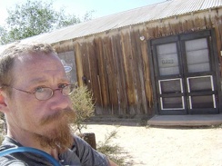 Indeed, the Cima Store is closed
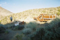 Phil walks over to Goldbelt Spring's old truck
 I look back down behind me again to Death Valley
 Up, up, slowly up Kelbaker Road, Mojave National Preserve
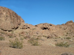 The Broadwell Natural Arch area is fun because of the mini-caves everywhere that invite exploration
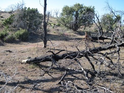 Five years after the 2005 brush fires here, many of the burned trees are finally falling down
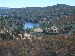 After a mile or so, I've made it up to ridge on County Line Rd, with great views looking back down to Mississippi Lake
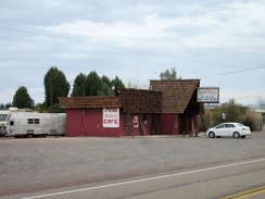 Next door is the famous Bagdad Café itself
 This hill in the Providence Mountains is a steep way to start a hike
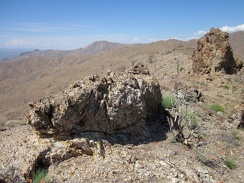 Numerous rock outcrops dot the Providence Mountains ridge line
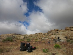 Everything is packed up and I'm almost ready to leave Pinto Valley after four nights here
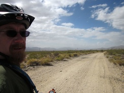 I think I'm riding right into that cloudy area...
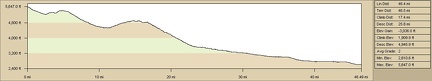 Elevation profile of Pinto Valley to Primm, Nevada bicycle route via Ivanpah Road
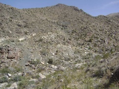 As I climb up the other side, I look over to the hill that I just descended
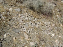 I notice a scattering of scat just behind me
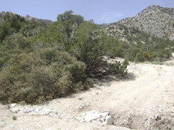 Road users have placed rocks in this gully to facilitate passage over it
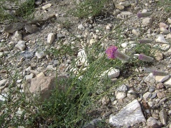 Here's a plant that I've never seen before
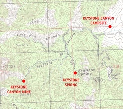 Mojave National Preserve map: Day 11, day hike to Keystone Spring and Keystone Canyon mine
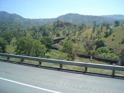 The Amtrak bus out of Bakersfield climbs over the mountains
 Nice wiggly tire track behind me as I ride slowly up Jackass Canyon Road from Devil's Playground
 Willow Spring itself
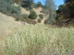 Close-up of the plants and their blossom stacks.
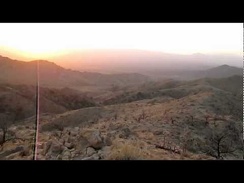 Lots of wind up here on Campground Peak North, overlooking Mid Hills campground, nice sunset
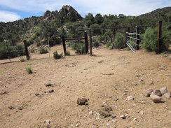 The Pine Spring water trough is inside a corral, which is apparently still in use by cows
 Time for another energy bar, already, on my way up into the McCullough Mountains