Home 7119

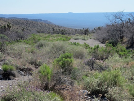 As I slowly gain altitude in Willow Wash, I turn back for a view across Ivanpah Valley to the blue curvature of Cima Dome
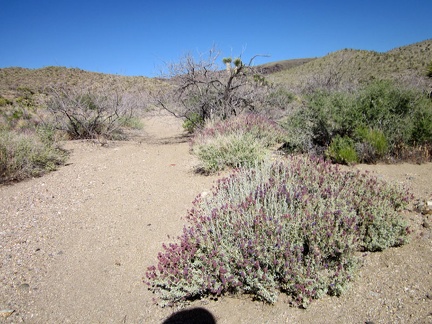 A few desert sages (Salvia dorrii) are still flowering here in Willow Wash
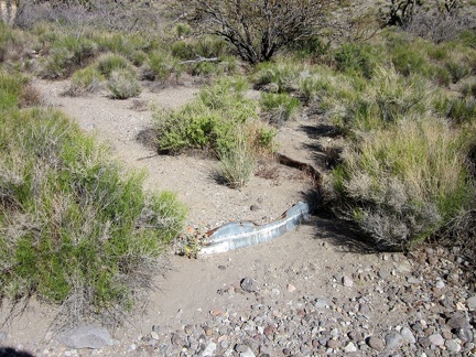 I notice what looks like an old metal cistern buried in the sands of Willow Wash
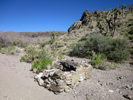 A little further ahead in Willow Wash is a small rock ruins, probably another extinct cistern
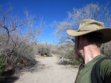 I pass through a grove of Desert willows (Chilopsis linearis), which is likely what Willow Wash is named after
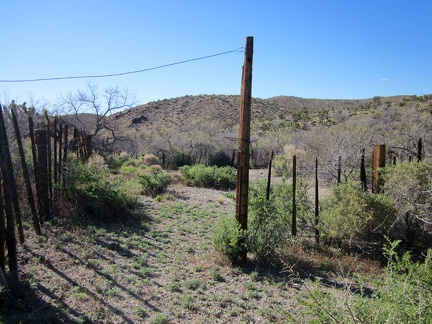 According to my GPS, I'm not quite at Willow Spring when I pass this old corral in Willow Wash
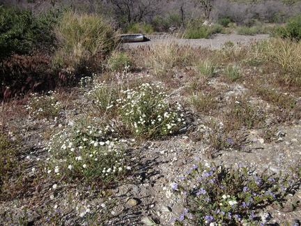 Pincushion flowers and a few phacelias grow near the old corral in Willow Wash
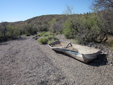 Here's a defunct metal cistern in Willow Wash that has not yet been buried in sand like the last one I saw
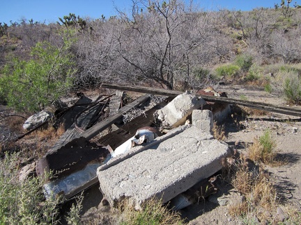 Near the Willow Wash corral is a pile of wood and concrete debris, suggesting that a small outbuilding may have once stood here
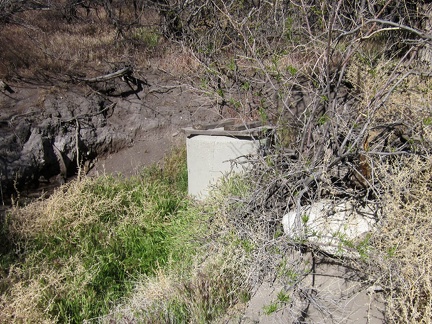 After a bit of searching, I locate what I believe is Willow Spring, in a grassy area shaded by nearly leafless Desert willows
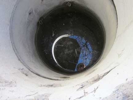 I open the wooden lid on the concrete cistern at Willow Spring, and a bit of water stares back up at me
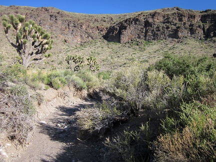 Beyond Willow Spring, my goal is to hike over the hills and be back at my campsite at the end of Castle Peaks Road before dark
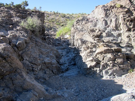 On the way up out of Willow Wash, I hike through the first of several small water-carved drainages in the rocks
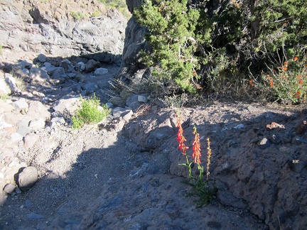 A brilliant penstemon manages to grow in the rocks here above Willow Wash; there's barely any soil here!
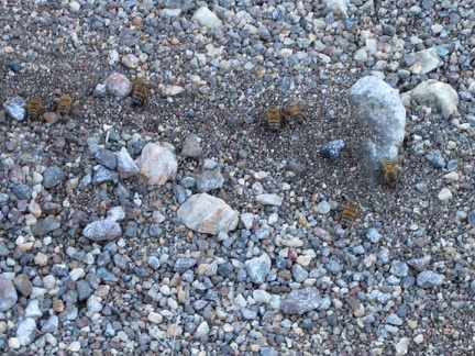 It's not quite a seep, but there's enough residual moisture to attract bees at this spot in the drainage above Willow Wash
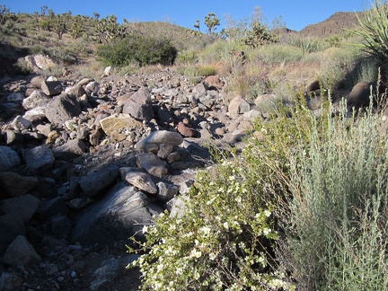 A few Cliff roses bloom in the rocky drainage leading up out of Willow Wash
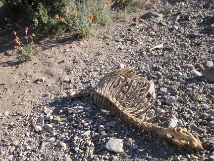 I come across a rather fresh skeleton here above Willow Wash
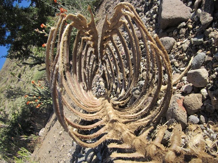 The skeleton has been efficiently picked clean
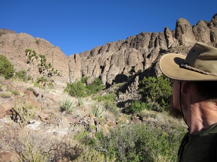 I'm temped to try hiking up a slot in the rugged cliffs adjacent to the drainage above Willow Wash
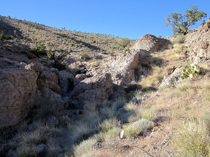 I decide to ignore the cliffs and keep hiking up the easier route in this drainage above Willow Wash; the top is not far ahead
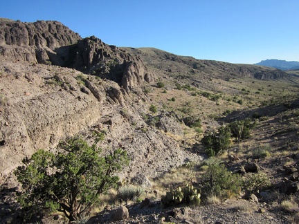 As I get higher, I look back (southwest) at the views behind me toward Willow Wash
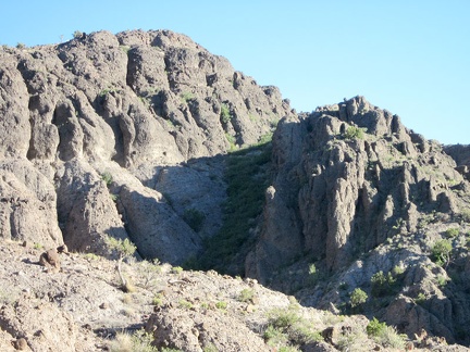 I zoom in closer and, yes, there is a slot in the cliffs that I might be able to hike
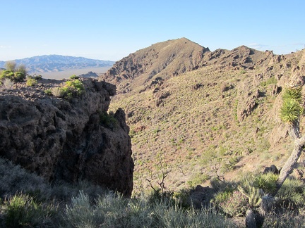 I finally reach the top of the drainage and am treated to an unexpected panorama across the Ivanpah Valley
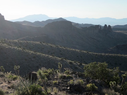 The succession of ridges visible from Dove Spring Peaks stands out in the pre-dusk sunlight; I recognize those pinnacles
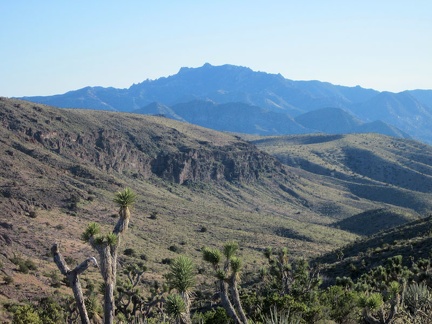 Dove Spring Peaks also has views over to the high blue peaks further over in the New York Mountains
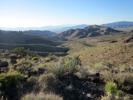 I savour a few final views from Dove Spring Peaks, then turn around and begin the hike back to camp
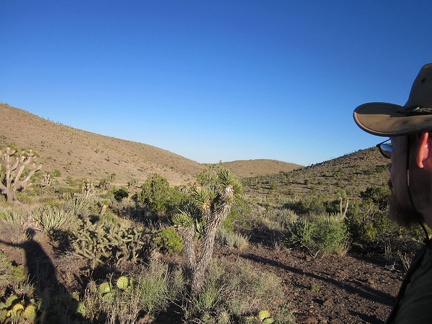 I hike through an upland valley on the way back to my campsite at the end of Castle Peaks Road
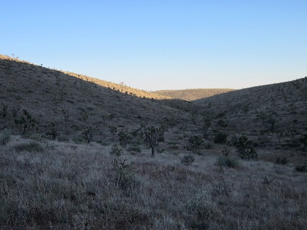 Within 15 minutes, the sun has dipped enough that my upland valley here is largely shaded
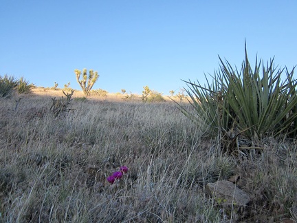 Still chasing sunlight, I climb over this one final hill before the short descent to my campsite at the end of Castle Peaks Road
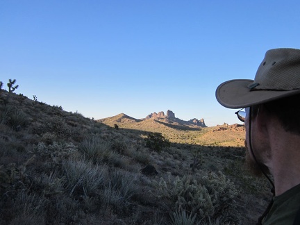 I can't see my nearby campsite yet while hiking down this hill, but I do get a good glimpse of the Castle Peaks along the way
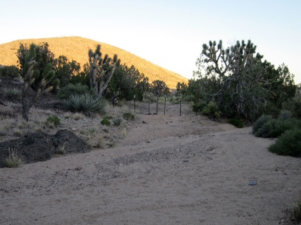 My cross-country hiking ends when I come down the hill and join up with the end of Castle Peaks Road and its Wilderness markers
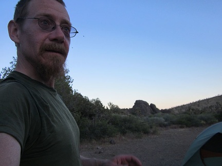 Back at my campsite at the end of Castle Peaks Road for a third and final night, I'm thinking about supper now
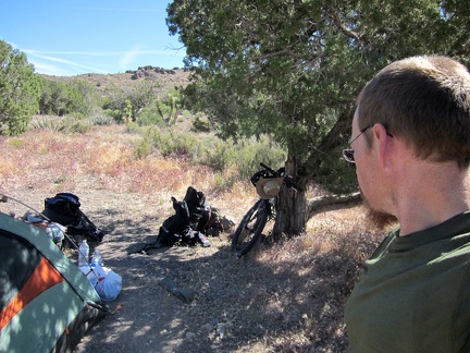 It's warm in the sun this morning, so I move everything into the shade of my juniper tree while I pack up camp
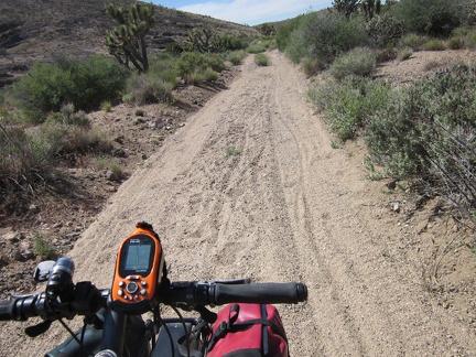 I hate packing up, but it went reasonably well, and now I begin the ride down Castle Peaks Road
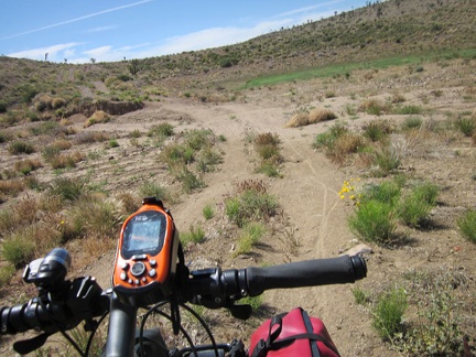 Approaching the dry reservoir on Castle Peaks Road, I see more of my bicycle tracks from three days ago
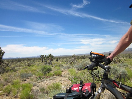 Today's ride will be to the other side of Lanfair Valley, roughly as far as the eye can see here
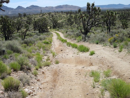 It's fun riding down this little hill on Castle Peaks Road on the way out of the New York Mountains foothills
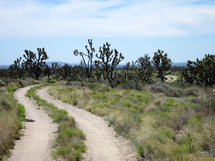 Riding a winding road in a quiet joshua-tree forest is always enjoyable
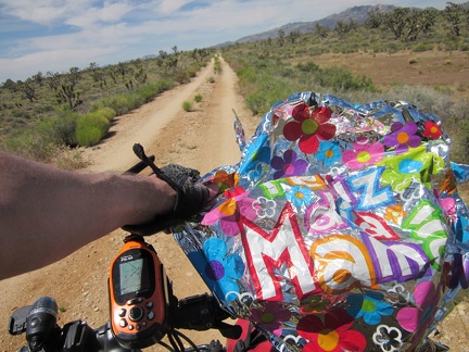 Castle Peaks Road ends after 30 minutes; I start riding the Barnwell-Searchlight railway grade and find this stray balloon
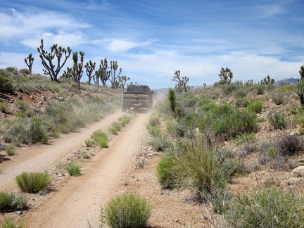 I have a slight headwind, so I don't hear the six 4WD vehicles sneaking up behind me on the Barnwell-Searchlight railway grade
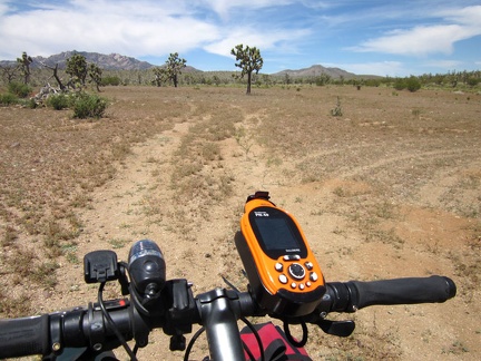 After 3 miles on the Barnwell-Searchlight railway grade, it ends by an open area, where the next road on my route should begin
 With assistance from my Delorme GPS, I locate the old road that I'm hoping to follow; it's nearly invisible!
 After about 100 feet on this old grown-in road, I decide to turn back and take the longer, but easier, Hart Mine Road instead
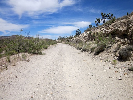 Hart Mine Road is a rough dirt road that rises about 250 feet in 2.5 miles on my detour route via Barnwell
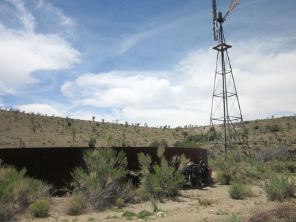 As I approach the former settlement of Barnwell, Mojave National Preserve, I pass an old windmill and water tank
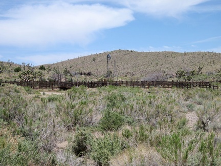 Across the road from the old Barnwell water tank is a corral and another windmill
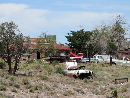 It might be interesting to count how many old cars and trucks sit on this Barnwell property!
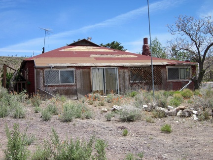 This old house at Barnwell, Mojave National Preserve looks like it was once well cared for
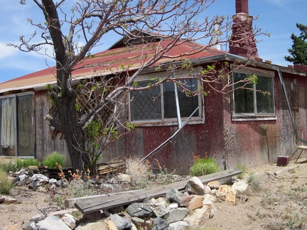 The old house at Barnwell has a stone chimney
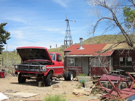 Behind the main house at Barnwell is a smaller, more modest, "guest-quarters" house
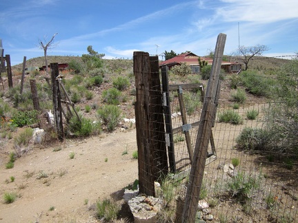 That old house at Barnwell that I always notice with all the junked vehicles around it: the gate is open
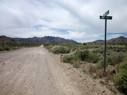 Hart Mine Road ends at Barnwell, so I turn south on Ivanpah Road, with the New York Mountains peaks in front of me
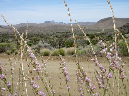 From the top of Ivanpah Road near Barnwell, I can still see over to Castle Peaks, but this view won't last long
 Ivanpah Road rolls over a pass in the New York Mountains and then descends slowly into Lanfair Valley
 I locate a berm of earth, part of the old Ivanpah railway grade and the "invisible" road I wanted to ride earlier
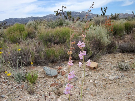 With relatively few wildflowers along Ivanpah Road, this little garden against a New York Mountains backdrop gets my attention
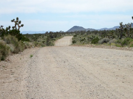 Ivanpah Road rides ever so slightly downhill across Lanfair Valley
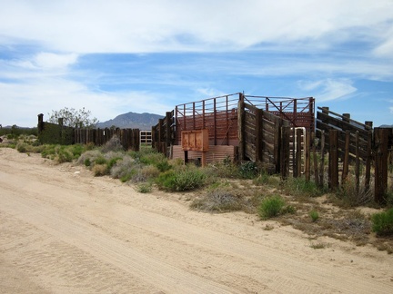 The 10-ton bike takes a break at the junction of New York Mountains Road so I can check out an old OX Ranch corral
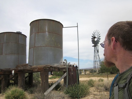 A couple of old water tanks and a windmill sit near Ivanpah Road at the OX Ranch site
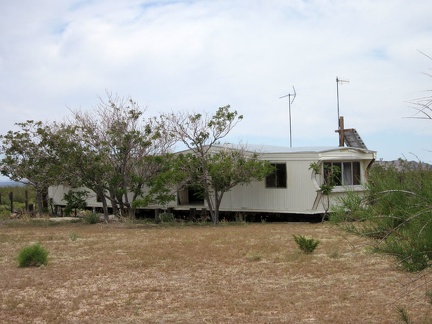 One of the buildings remaining at the OX Ranch site is this mobile home
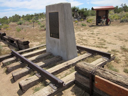 A bit beyond the OX Ranch site is a private, by-reservation-only campground called 'Mojave Desert Outpost'
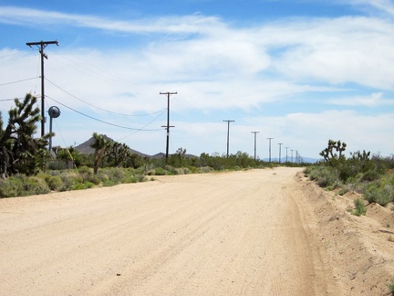 I know I'm getting close to the junction of Ivanpah Road and Cedar Canyon Road when I see power lines along the road
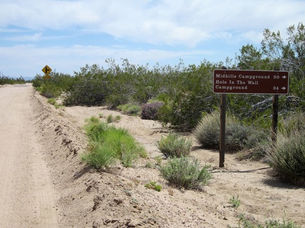 I've been riding Ivanpah Road for over two hours; I'll turn right onto Cedar Canyon Road just ahead
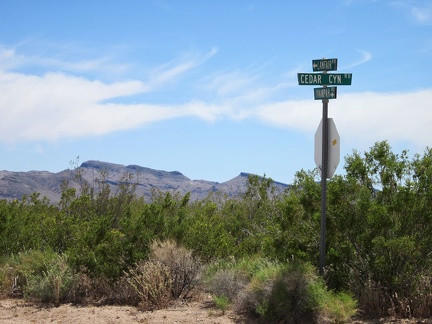 The junction of Ivanpah Road and Cedar Canyon Road is my low point of the day, at about 4050 feet elevation
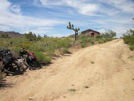 Riding up Cedar Canyon Road, I spot an abandoned house, so the 10-ton bike pulls over to allow a few minutes of exploration
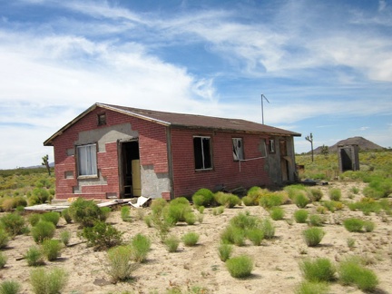 At first, I think the house has been vandalized, then I think maybe it's in the process of being demolished
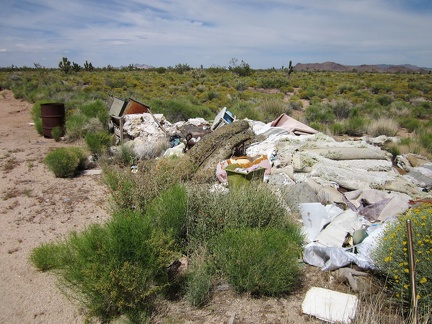 A pile of debris sits in front of the little house on Cedar Canyon Road
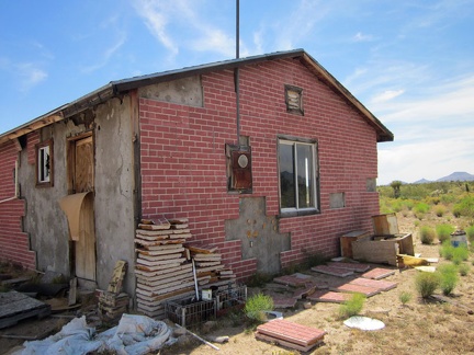 Behind the little house on Cedar Canyon Road, some of the old fake-brick tiles are neatly piled
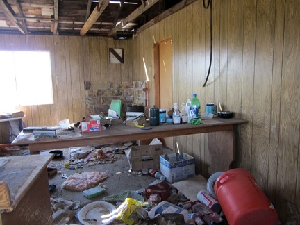 I peer through a broken window at the disarray inside the house
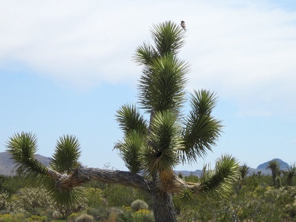 Near the old house, a bird lands atop a joshua tree
 Some stretches of Cedar Canyon Road have significant sand accumulation, in addition to being washboarded
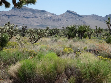 I can zoom in for good views of the Hackberry Mountains while riding Cedar Canyon Road
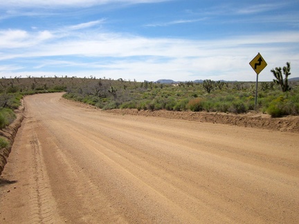 Long stretches of Cedar Canyon Road are perfectly straight, but there are some curves and even a few 90-degree corners
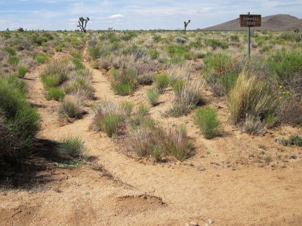 I'm intrigued by this sign for Ashwell Road, since there's not much of a road visible here
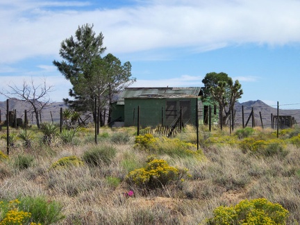 A short distance ahead is another modest old house along Cedar Canyon Road, against a Hackberry Mountains backdrop
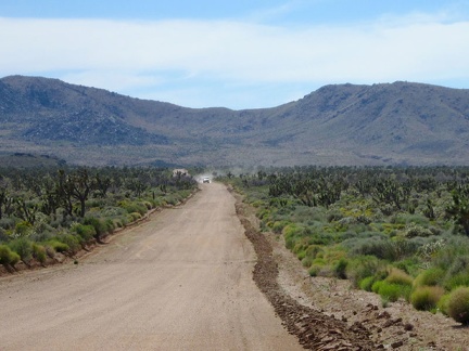 Oooo, a car is approaching on Cedar Canyon Road!
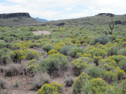 In this part of Lanfair Valley right now are some wide expanses of small yellow flowers
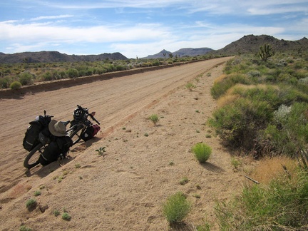 The 10-ton mountain bike slowly gains altitude on Cedar Canyon Road
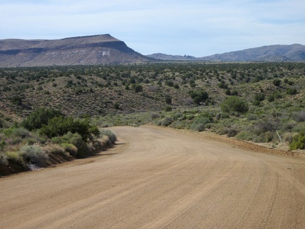 I'm riding a curvy stretch of Cedar Canyon Road now, heading straight toward Pinto Mountain for a few minutes
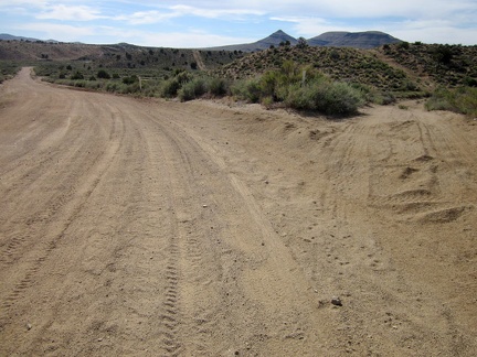 As I approach Watson Wash on Cedar Canyon Road, I pass a turn-off to an old alignment of the 4WD Mojave Road
 I rattle my way across the part of Cedar Canyon Road that crosses Watson Wash
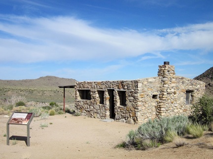 After crossing Watson Wash, I turn off Cedar Canyon Road to visit the Bert Smith rock house
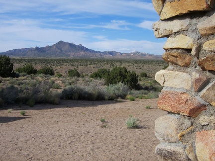 The Bert Smith rock house has an excellent view from the front door
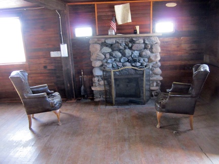 To my surprise, the door to the Bert Smith rock house is not locked like it was when I last visited
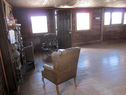 The Bert Smith rock house has a low ceiling and dark-colored surfaces
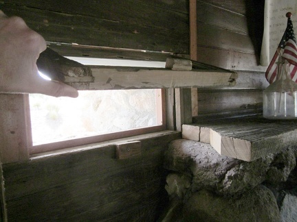 The little windows that flank the fireplace in the Bert Smith rock house are hinged on the top
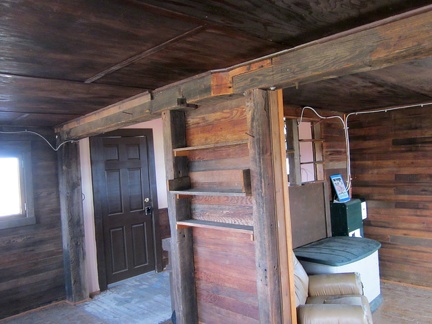 A small kitchen hides behind these built-in shelves; interesting joint in the beam
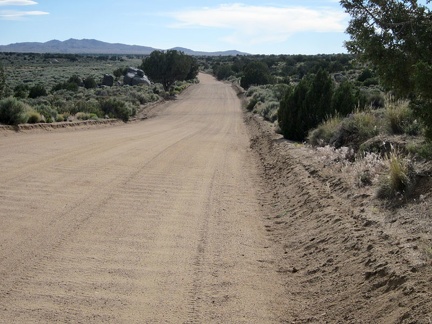 After my visit to the Bert Smith rock house, I continue riding westward on the washboard of Cedar Canyon Road
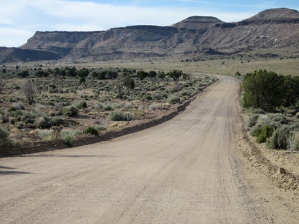 Cedar Canyon Road bends again and heads toward Pinto Mountain for a few minutes
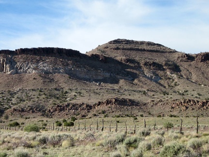 I like this old range fence off Cedar Canyon Road in front of Pinto Mountain
 I reach my shortcut road that connects Cedar Canyon Road with Black Canyon Road
 As I climb the gentle hill, I reach a part of the shortcut road with far fewer tire tracks
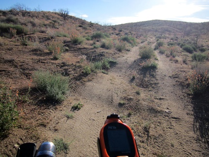 The shortcut road is only 3/4 mile long, but it's nice to be off the main roads for a few minutes
 Hey, a fresh bicycle track on the shortcut road, and it isn't mine!
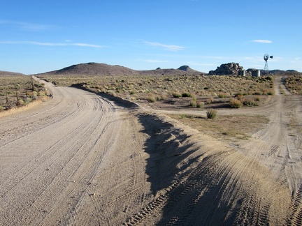 I'm back out on a main road now (Black Canyon Road this time) and pass the windmill at Holliman Well
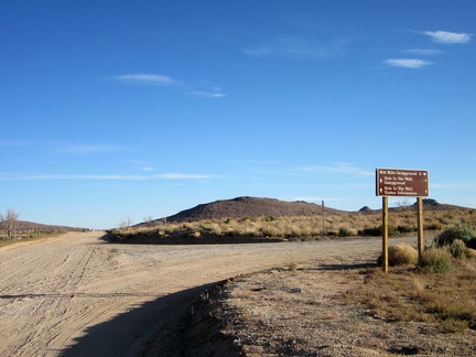 At the junction of Black Canyon Road and Wild Horse Canyon Road, I decide to turn right toward Mid Hills campground
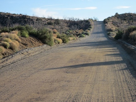 A couple of short steep hills on the final stretch on Wild Horse Canyon Road toward Mid Hills campground always get me
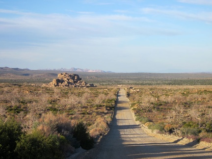 I check out the view behind me while walking the 10-ton bike up the little hill
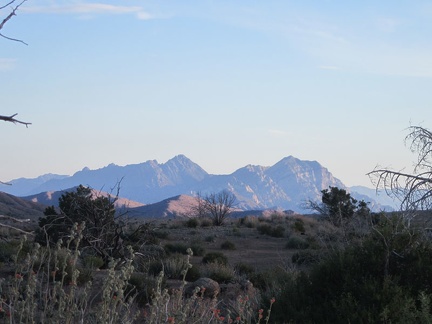 The Providence Mountains often catch a bit of pink light at the end of the day
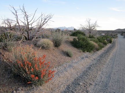 I make it up to the crest of Wild Horse Canyon Road and a few orange desert-mallow flowers say "hello"
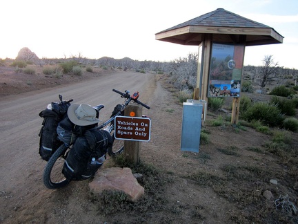 I arrive at the Mid Hills campground entrance kiosk; I'm happy to be back for yet another visit
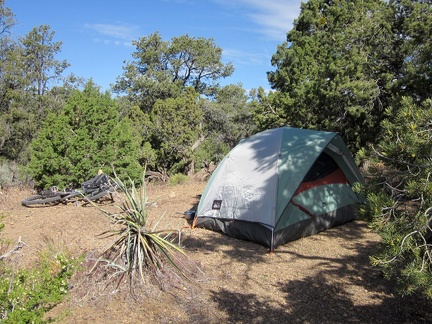 It was chilly again last night, and windy, but the sun is warm on my first morning at Mid Hills campground
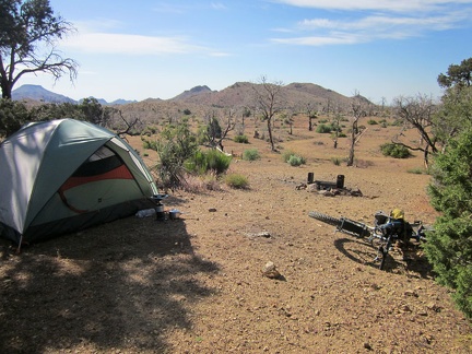 On the other side of my tent at Mid Hills campground site 9 is a wide-open space that burned in the 2005 brush fires
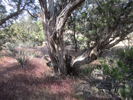 Some of the juniper trees, like this one, at Mid Hills campground are quite old
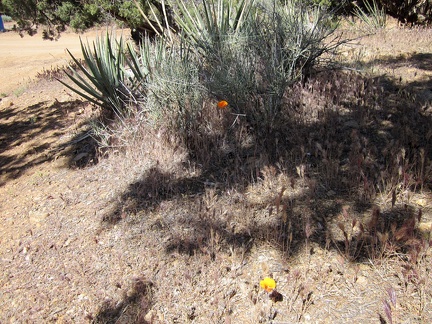 Here and there, an orange mariposa lily pops up among the banana yuccas, junipers, and pinon pines at Mid Hills campground
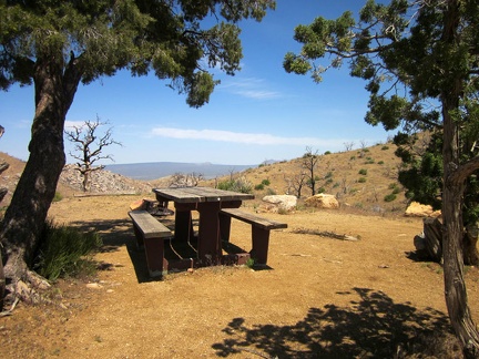 I walk over toward the campground's overlook and stop at the campsite where "the other bicyclist" said he was camping
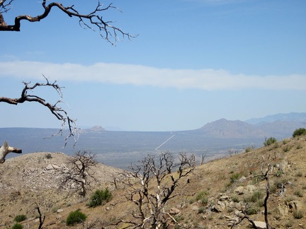 From the Mid Hills campground overlook are open views across to Cima Dome
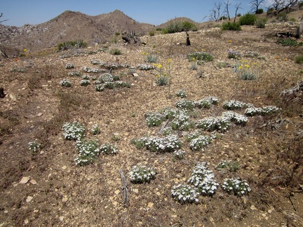 I remember seeing patches of these small, daisy-like flowers when I was here last year
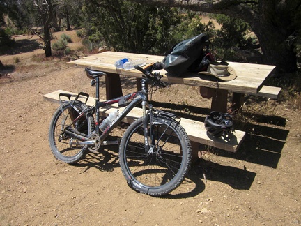 It's time to prepare the bicycle for a ride down to Hole-in-the-Wall campground, where I can recharge my cell phone
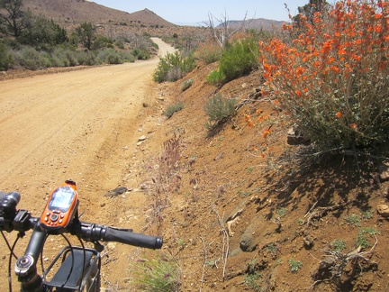 Just before noon, I leave Mid Hills campground and ride down Wild Horse Canyon Road without the weight of my camping baggage
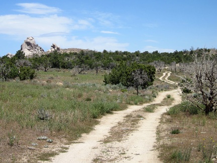 On the way down Wild Horse Canyon Road, I pass the little road that leads to the Eagle Rocks area
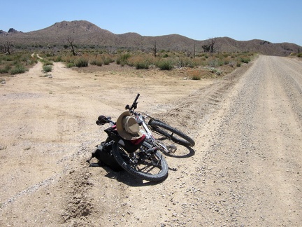 After a couple of miles, I reach the smaller "Gold Valley Road" on my left and leave Wild Horse Canyon Road
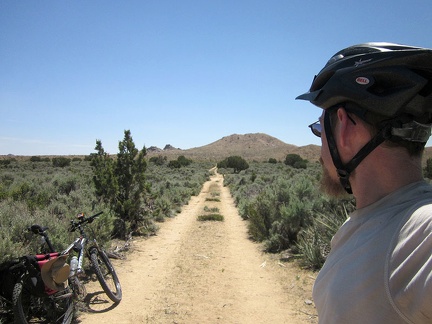 The first part of Gold Valley Road passes through a meadow thick with mature sagebrush
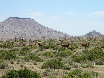 I pass a herd of cows on Gold Valley Road, with Table Mountain in the background
 The bovines along Gold Valley Road look at me for a moment
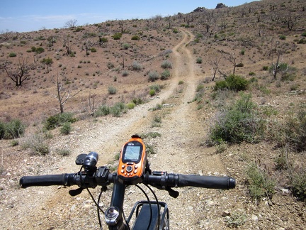 The upper part of Gold Valley Road rolls up and down over gently folding terrain
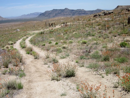 I stop on a low bluff to try my cell phone and it works, so I take a short break and send a few text messages
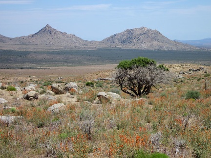 This old juniper tree was mostly burned, like everything surrounding it, during the 2005 brush fires, but its crown lives on!
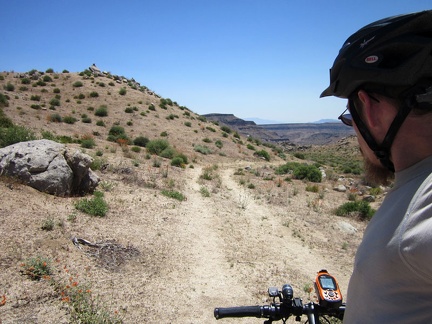 Gold Valley Road rises up a gentle hill and arrives at a higher area with nice views of the surroundings
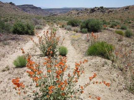 Desert mallows bloom in the middle of Gold Valley Road near its summit
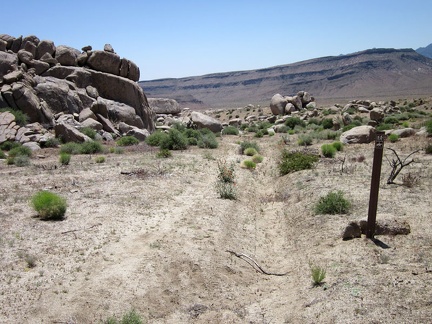 Also at the summit of Gold Valley Road is a scattering of boulders
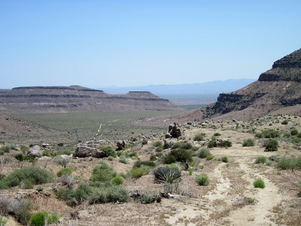 Finally, Gold Valley Road dips down into Gold Valley itself
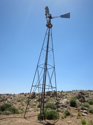 On the way down the hill, I stop at the windmill and water tank near Gold Valley Spring
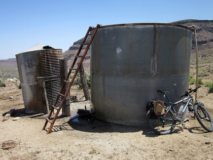 The Gold Valley water tank is overflowing
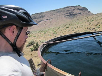 A tank of deep blue fresh water in the desert?
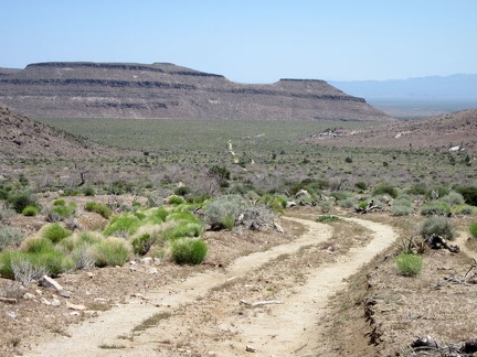 After my stop at the Gold Valley water tank, I still have a bit more downhill mountain-biking ahead
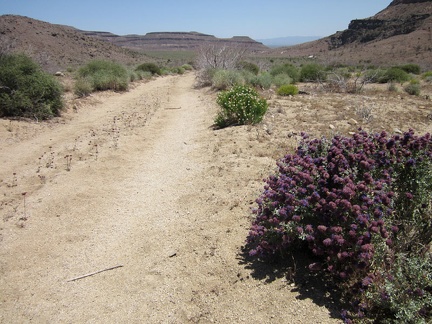 The lower part of Gold Valley Road has more sand; I sometimes lose traction and need to walk the bike occasionally
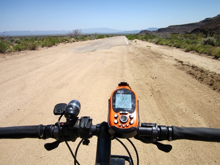 After crossing the valley, Gold Valley Road comes to an end and I join the larger Black Canyon Road
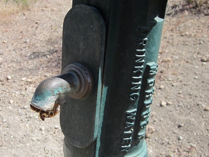 At the Hole-in-the-Wall visitor centre, I recharge my cell phone and chat with Preserve staff and a couple of visitors
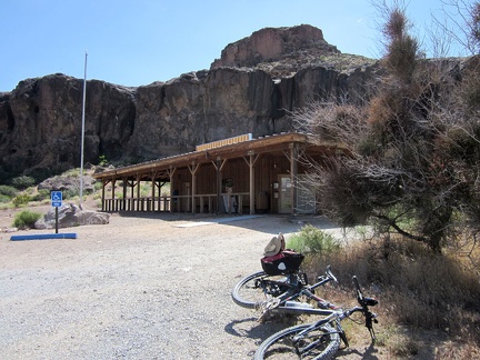 Before leaving Hole-in-the-Wall, I refill my water bottles
 I ride a few hundred feet on pavement on Black Canyon Road before turning off toward Saddle Horse Canyon
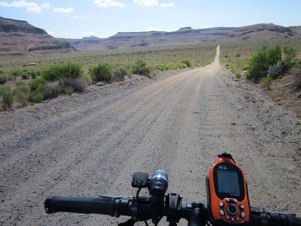 I start riding the lower part of Wild Horse Canyon Road and will park just before those hills almost two miles ahead
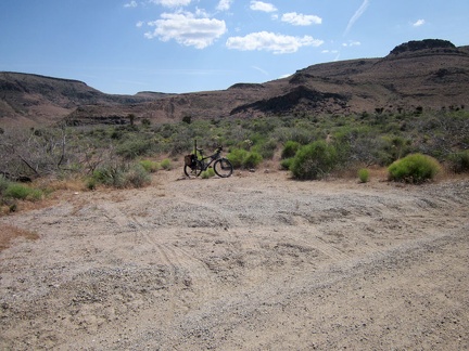 I pull over at a turn-out on Wild Horse Canyon Road, stash the bicycle in the bushes and begin the hike
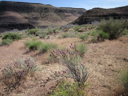 A few desert sages (Salvia dorrii) are still blooming here on the approach to Saddle Horse Canyon
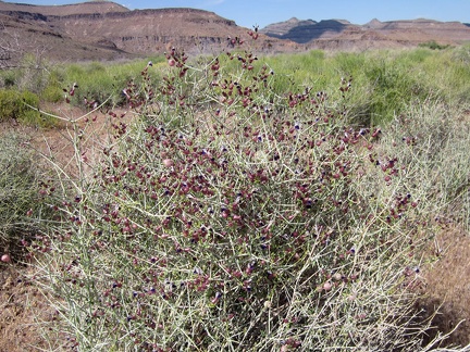 On the approach to Saddle Horse Canyon, I pass another flowering plant that I like: Paper-bag bush (Salazaria mexicana)
 I walk over to some rocky outcrops along the way and see something that I thought I might see in an area like this
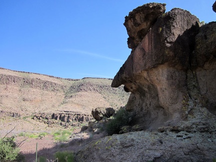 Dramatic rock erosion at the entrance to Saddle Horse Canyon
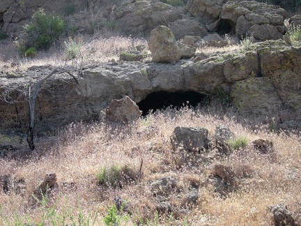 A few small holes in the rocks near the mouth of Saddle Horse Canyon
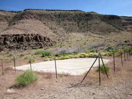 At the mouth of Saddle Horse Canyon is a guzzler (a pad of concrete), dry right now due to lack of rain
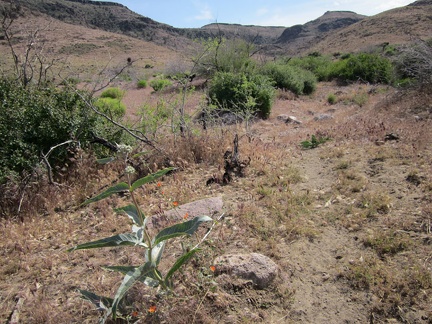 I pass a budding milkweed in Saddle Horse Canyon
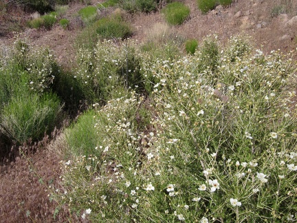 Quite a few Cliff roses (Purshia) grow in Saddle Horse Canyon
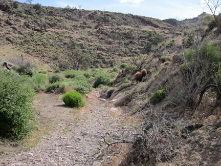 I continue hiking around plants and rocks on my way up Saddle Horse Canyon
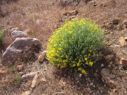 Paper-flower bush (Psilostrophe cooperi) in Saddle Horse Canyon
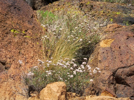 Buckwheat flowers pop out between dark rocks that absorb the hot sun in Saddle Horse Canyon
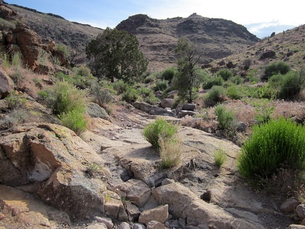 The 2005 brush fires passed through Saddle Horse Canyon, but a few juniper trees survived
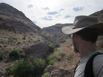 Well, this is about as far up Saddle Horse Canyon as I'll go; I want to be riding up Wild Horse Canyon Road around sunset
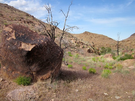 I turn around and start my way back down Saddle Horse Canyon, wondering if I shouldn't be turning around so soon
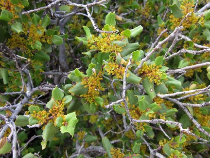 This bushy desert oak shrub in Saddle Horse Canyon seems to have grown back despite being burned in the 2005 brush fires
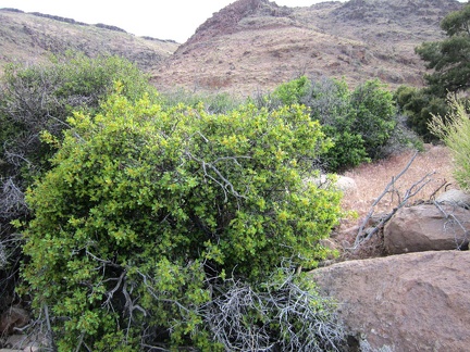 I take a closer look at that regenerated oak in Saddle Horse Canyon
 Purple four o'clock flowers poke through a Rhus trilobata bush laden with unripe berries in Saddle Horse Canyon
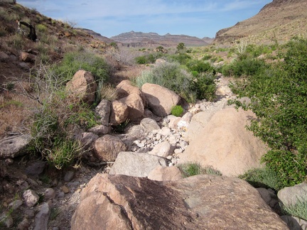 I'm enjoying these parts of Saddle Horse Canyon where I can walk in the dry drainage channel
 Here's another part of Saddle Horse Canyon that allows me to avoid getting more grass stuck in my socks
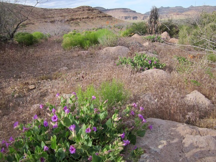 I'm back in an open, grassy area as I hike out of Saddle Horse Canyon
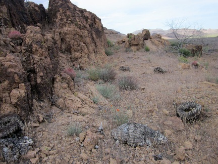 A few small barrel cacti are on the side of Saddle Horse Canyon, some living, some burned
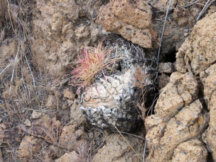 This charred barrel cactus is slowly resprouting after being burned in the 2005 brush fires
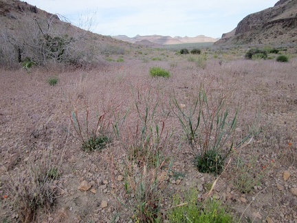 Near the mouth of Saddle Horse Canyon is a small stand of Desert trumpet buckwheats
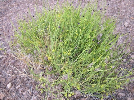 Thamnosma montana (Turpentine-broom) in Saddle Horse Canyon
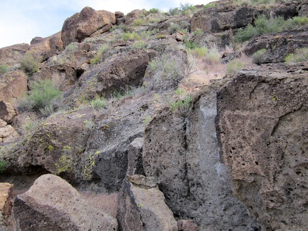 On the way back out of Saddle Horse Canyon, I decide to walk along the rock walls
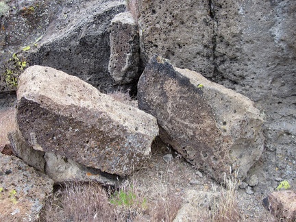 Bubbles in the rocks
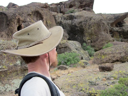 I've passed through the Hole-in-the-Wall area here so many times without stopping to take it in on foot
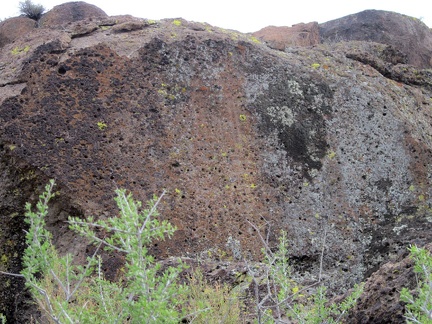 A bush of some kind manages to grow up on top of these rocks at the mouth of Saddle Horse Canyon
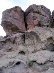 More big bubbles and fractures in the rocks
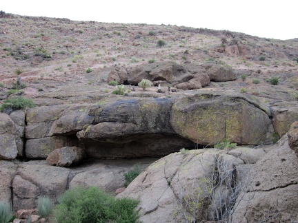 One of several rock shelters in the Hole-in-the-wall area
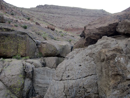 Camouflaged in the rocks is a small concrete dam to retain water running down from the hills
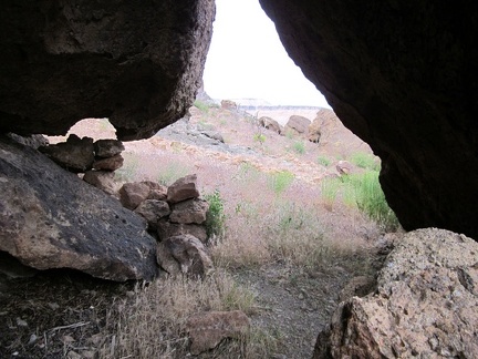 From another rock shelter in the area, I peer out into the sunshine
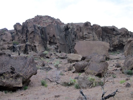 The rocks at the mouth of Saddle Horse Canyon are more interesting than further up the canyon
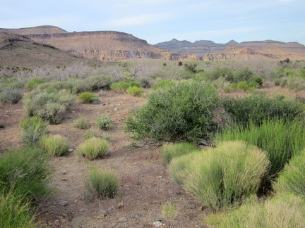 It's time to walk back to the 10-ton bike, parked half a mile away over by Wild Horse Canyon Road, just over there
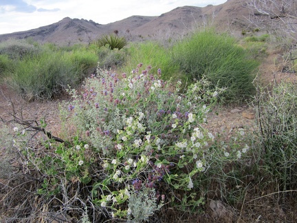 I pass a tangle of white and purple flowers on the way back to the bike near Wild Horse Canyon Road
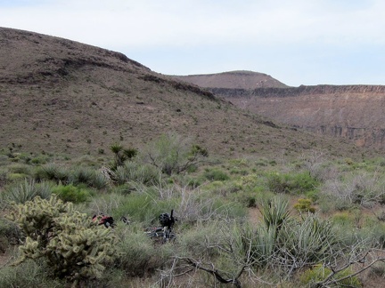 I'm back at the bike, which is hiding in the bushes just off Wild Horse Canyon Road, ready to ride home to Mid Hills campground
 Before I start the ride up Wild Horse Canyon Road, I pick out some of the annoying stickers in my socks and shoes
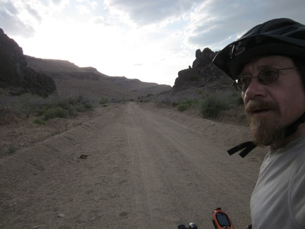 I start riding up Wild Horse Canyon Road, the lower part of which is washboarded and sometimes sandy
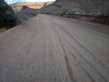 I look behind me as I climb up the lower part of Wild Horse Canyon Road
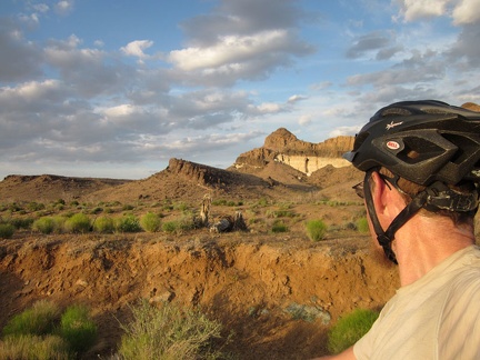 Wild Horse Canyon Road pops out of the canyon and onto higher ground, where I catch the beginning of sunset
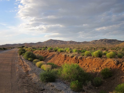 I enjoy the impending sunset as I slowly ride up Wild Horse Canyon Road
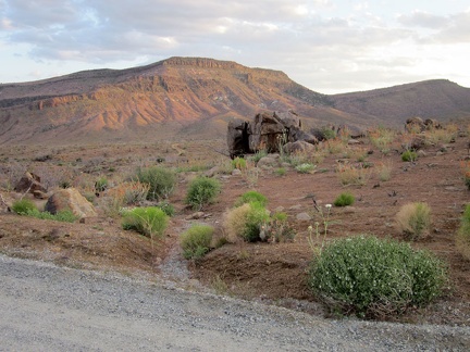 The Wild Horse Mesa area picks up a warm glow as I ride past
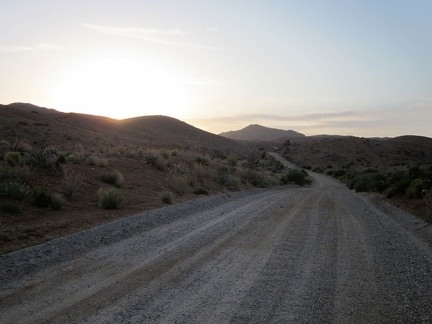 A car passes me along this stretch of Wild Horse Canyon Road, the only one I'll see on the way back to camp
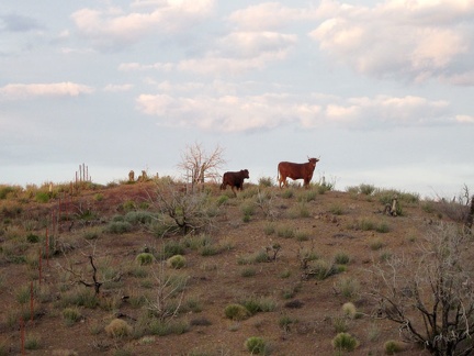 Bovines along Wild Horse Canyon Road
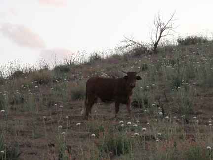 This bull poses for a portrait along Wild Horse Canyon Road
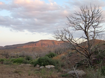 I turn back for another look at the Wild Horse Mesa area, which is still picking up a bit of sunset light
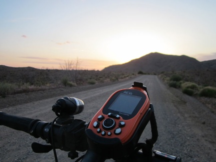 The sun hides behind Columbia Mountain as I ride up Wild Horse Canyon Road
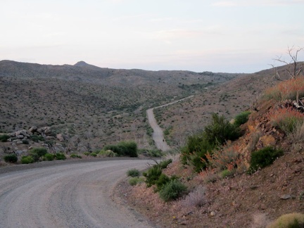 Wild Horse Canyon Road dips down into the upper part of Macedonia Canyon as I ride back to Mid Hills campground
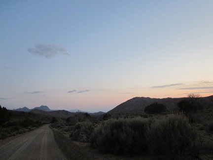 After passing Columbia Mountain, I look back at what remains of sunset and ride on to Mid Hills campground
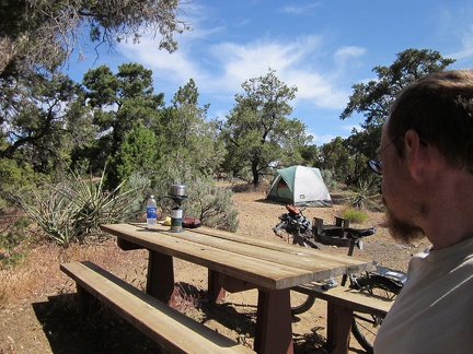 Another beautiful morning at Mid Hills campground; it's nice to have a water supply, so I heat up water to wash myself
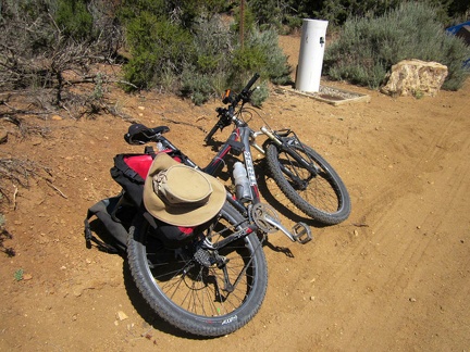 I stop at the water tap near my campsite at Mid Hills campground and fill up; I won't be passing any water holes today
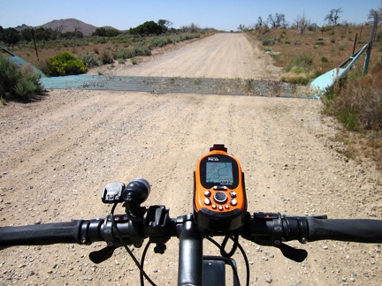 After leaving Mid Hills campground, I ride down Wild Horse Canyon Road and cross over this cattle guard
 A pick-up truck passes me on Wild Horse Canyon Road, a major event
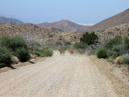 As I ride down Wild Horse Canyon Road, a few cows start to cross, but I end up inadvertently chasing them
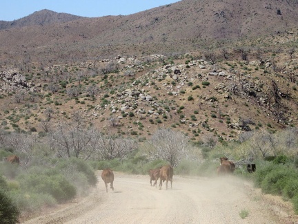 After 5 minutes, the cows are still running down Wild Horse Canyon Road, with me chasing them on my bicycle
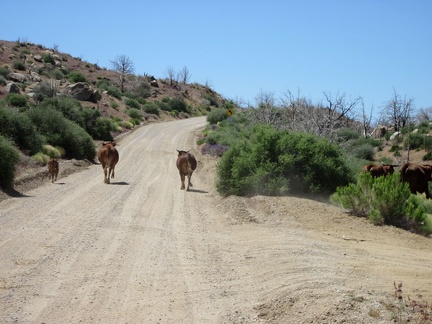 We come around a bend by Macedonia Canyon Road and start heading uphill; the cows aren't running quite so quickly anymore
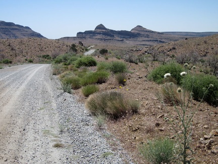 I continue riding down Wild Horse Canyon Road toward the Wild Horse Mesa area, watching for the easy-to-miss Bluejay Mine Road
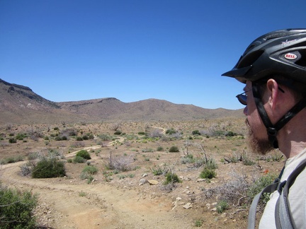 And there it is: Bluejay Mine Road; I leave Wild Horse Canyon Road here
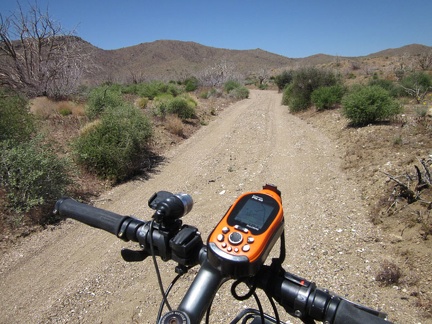 A short stretch of Bluejay Mine Road is in a sandy wash, and I'm glad it doesn't last too long
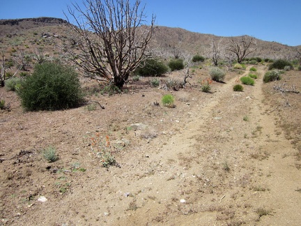 Bluejay Mine Road gets a bit better after rising out of the sandy wash
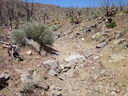 Like so many desert backroads, Bluejay Mine Road deteriorates as it approaches its end
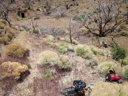 Bluejay Mine Road ends here, so I stash my bike in the brush, lock it up, and begin today's hike
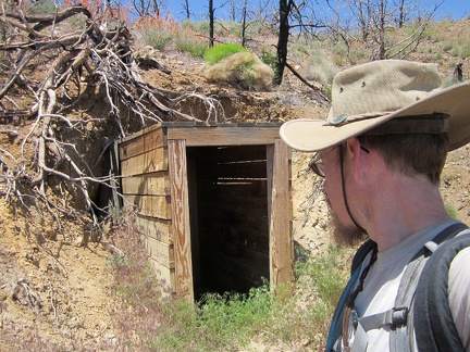 I take a look into the old entrance to the Bluejay Mine before I start climbing up the hill
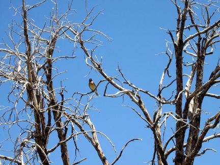 A yellow-chested bird watches me begin the hike up the steep hill above Bluejay Mine
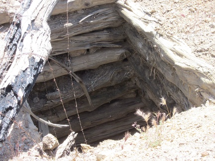 My first stop on the way up the hill is the upper shaft opening to the Bluejay Mine
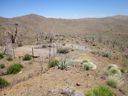 Because the upper opening to the Bluejay Mine is treacherous, it's surrounded by barbed wire
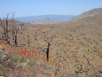 I soon make it high enough up the hill to have a view across the Providence Mountains to the subtle curve of Cima Dome