Home 7119

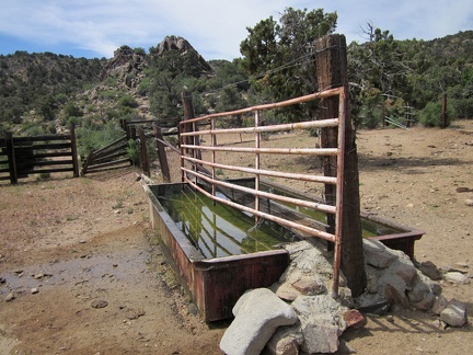 I'm surprised to find a trough at Pine Spring, overflowing with water of decent quality; a few bees are living on the margins
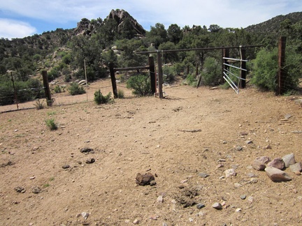 The Pine Spring water trough is inside a corral, which is apparently still in use by cows
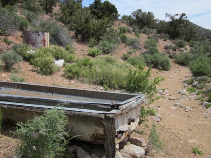 A bit beyond the Pine Spring corral is an old water trough and a rusty water tank
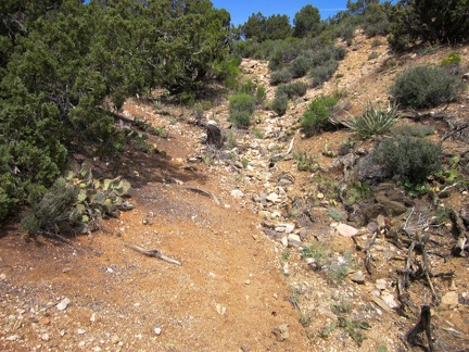 I've hiked two miles up Pine Spring Road, which ends here, so I climb a hill to get oriented for the day's off-trail hiking
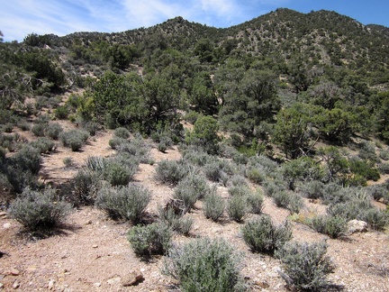 From this hill above Pine Spring, I see a possible route to the McCullough Mountains ridgeline straight ahead, a bit to the left
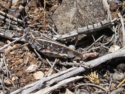 Out of nowhere, a grasshopper pops into the air and lands nearby
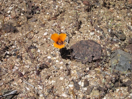 A few mariposa lilies are blooming on this hill above Pine Spring
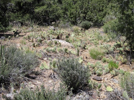 On the way down to the wash, a patch of ankle-high cacti requires careful avoidance hiking
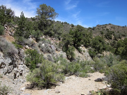 I arrive in the sandy wash and prepare to climb the hill on my left, on my way toward one of the McCullough Mountains peaks
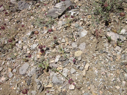 Diminutive chia sages grow in the wash here
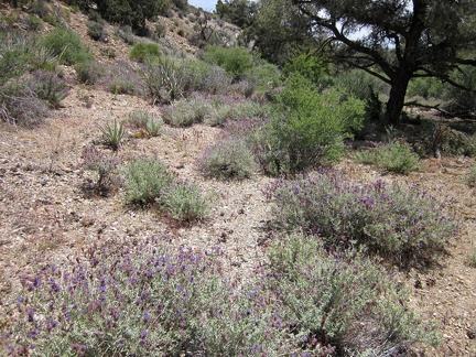 Some larger desert sage bushes (probably Salvia dorrii) are also blooming in this wash
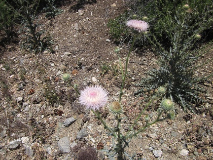 I take note of this light-pink Mojave Desert native thistle: Cirsium neomexicanum
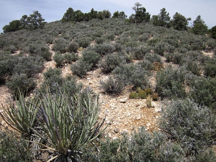 I check my GPS again and begin the climb into the McCullough Mountains, straight up this hill
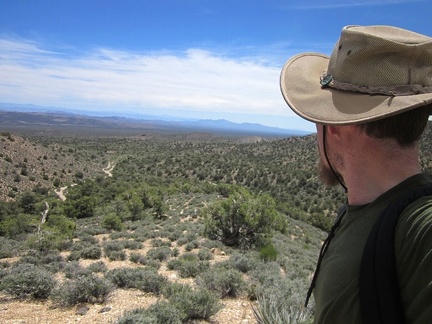 At the top of the blackbrush hill, I turn around for a moment to enjoy the views back down into Piute Valley
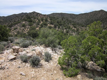 Atop the blackbrush hill, I check out the upward route ahead to the McCullough Mountains ridgeline
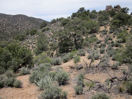 A rock outcrop atop the hill ahead is my next target
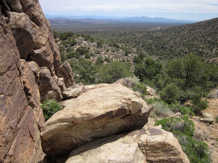 Nice views back down into Piute Valley from the rock outcrop
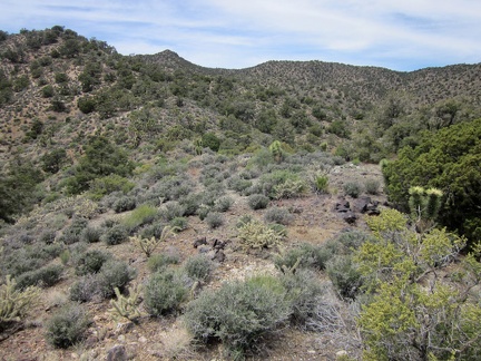 Now that I'm above the rock outcrop, I can see the next hill on my way up the McCullough Mountains
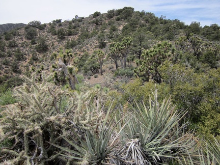 I walk past some banana yuccas and toward a stand of joshua trees on my way up this next McCullough Mountains hill
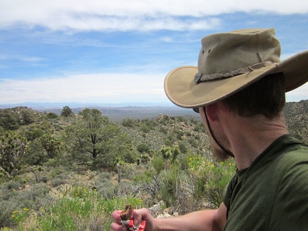 Time for another energy bar, already, on my way up into the McCullough Mountains
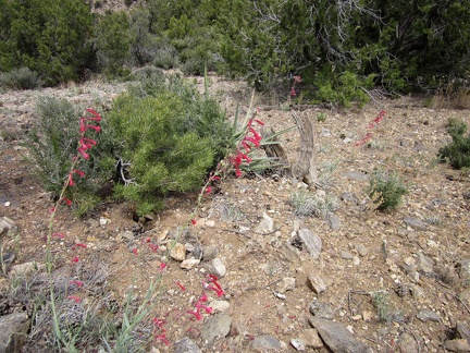 A few red penstemons are flowering today in the McCullough Mountains
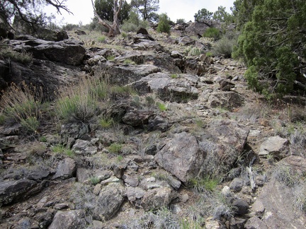 This steep, rocky hillside in the McCullough Mountains provides good footing on the way up
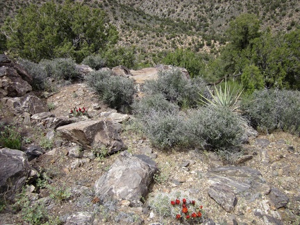 A couple of claret-cup cacti are blooming on this McCullough Mountains hillside
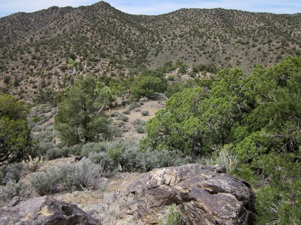 Finally, I reach a point from which the remainder of my route uphill is visible, following the rising ridge at centre-left
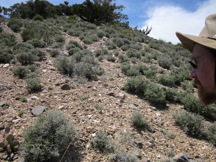 OK, climb up that hill, now!
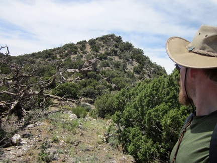 After climbing that last short steep hill... now the McCullough Mountains peak 6557 is right in front of me
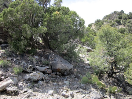 Almost there... Peak 6557 is that hill ahead to my right
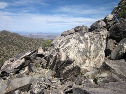 A pile of rocks sits upon McCullough Mountains unnamed peak 6557
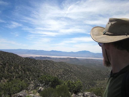 I sit on McCullough Mountains Peak 6557 for a good 15 minutes and enjoy the views
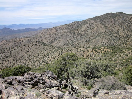 Looking to my right, I see the high point of this range, McCullough Mountain, at just over 7000 feet
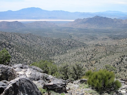 I bet the valley below, between here and the Lucy Gray Mountains in the middleground, would be an interesting place to explore
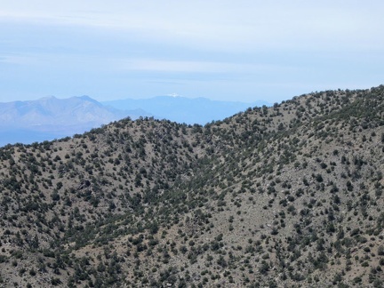 Looking way off into the distance, I can see a snow-capped mountain, which I presume is Charleston Peak near Las Vegas
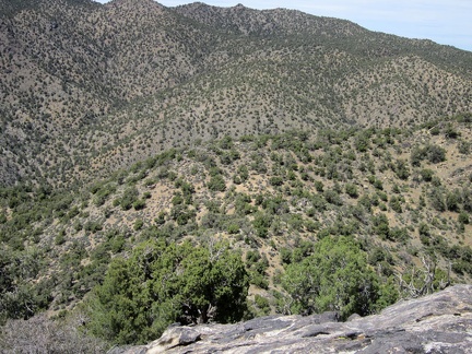 I'm hoping to continue hiking along the ridge, but it looks like there may be a drop-off beyond those two junipers
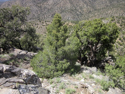 It's quite steep, but I conclude that I should be able to wind my way down the hill safely, and stay on the ridge line
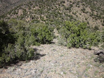 Once I get past the crazy, steep and rocky part at the beginning of the short descent, the rest is easy
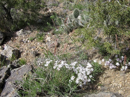 Phlox, cacti and pinyon pines on the McCullough Mountains ridge line
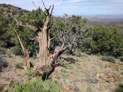 I spy an old tree trunk on the McCullough Mountains ridge line
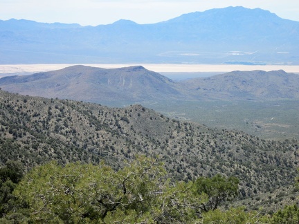 From this McCullough Mountains saddle, I can still see across the Lucy Gray Mountains to Ivanpah Dry lake and Clark Mountain
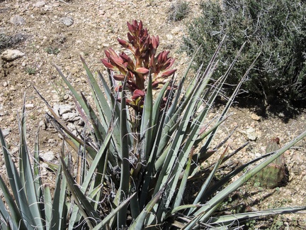 This banana yucca in the McCullough Mountains is getting ready to bloom
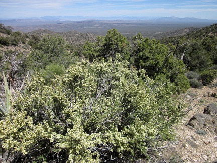 This McCullough Mountains saddle also has great views eastward down to the Piute Valley
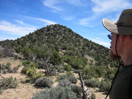 From the saddle, I look back at McCullough Mountains Peak 6557
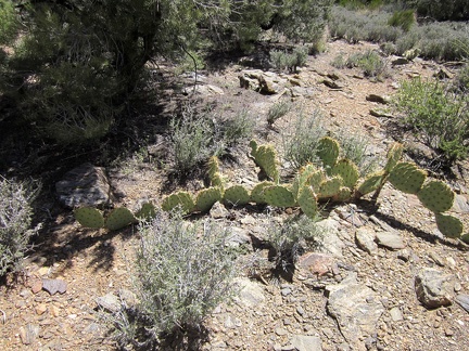 I stop to look at a cactus growing in an unusual horizontal habit, one pad at a time
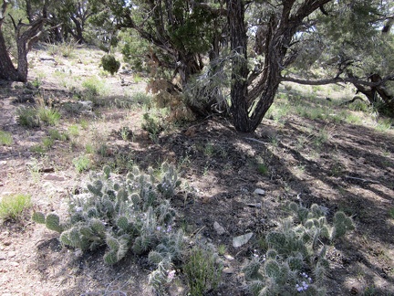 Cacti and a few blue phacelia flowers enjoy the shade under this pinyon pine in the McCullough Mountains
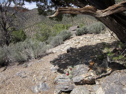 I almost missed these claret-cup cacti flowers under an old juniper while walking past
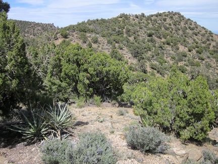 The next marked point on my hike today will be McCullough Mountains unnamed peak 6425, the high point just ahead
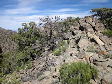 On the way up to Peak 6425 in the McCullough Mountains are a few rock piles
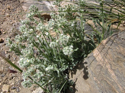 I've seen this white flower before; I think it's Desert tobacco (Nicotiana obtusifolia)
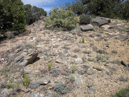 One last little climb up to McCullough Mountains Peak 6425
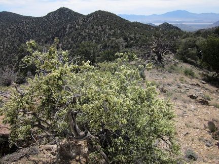 From McCullough Mountains Peak 6425, I look back at where I was earlier, on Peak 6557, center
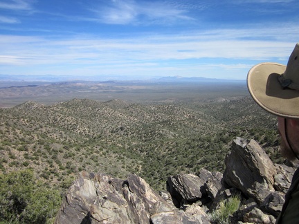 McCullough Mountains Peak 6425 also has great views eastward across the Piute Valley
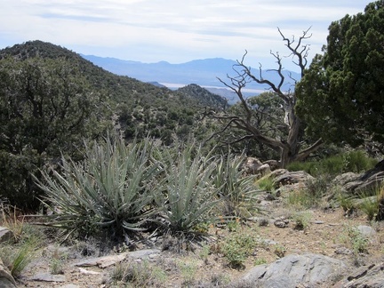 I can still see a bit of the Ivanpah Dry Lake area from McCullough Mountains Peak 6425
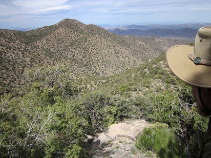 McCullough Mountains Peak 6425 marks a decision point as far as route-following is concerned
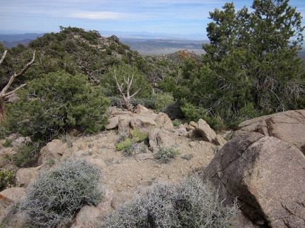 I'll start the hike back to camp by hiking up the hill at centre-left, then following the ridge down to the hill in the middle
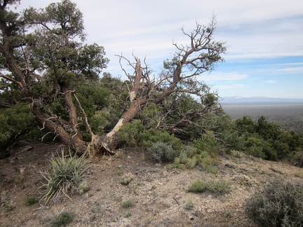 This is one of the more scraggly pinyon pines I've come across today in the McCullough Mountains
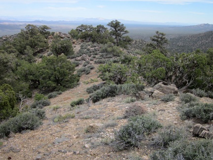 About 10 minutes later, I notice a hillside that might make for a good descent down to a wash
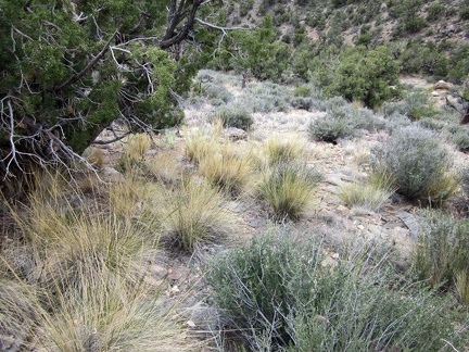 I climb carefully down the steep hill, past the bunch grasses, blackbrush, and the occasional banana yucca
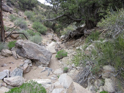 I start hiking down the rock-strewn wash, which is like a staircase in a few places
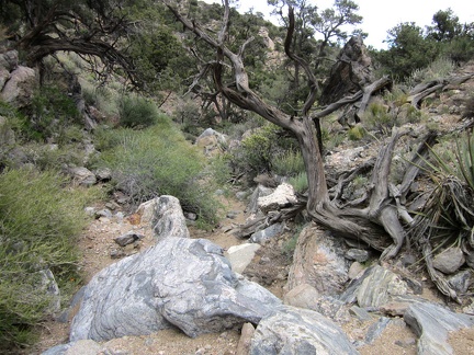 It's dry right now, but I can imagine a rush of water being funneled down this drainage during the wet season
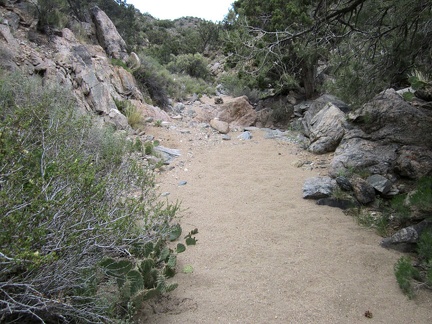 The wash begins to widen slightly, collecting sand that runs down from the McCullough Mountains
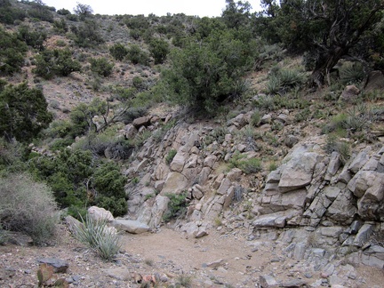 The wash continues to wind its way down from the McCullough Mountains
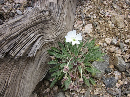 A primrose blooms in this McCullough Mountains wash near an old tree trunk
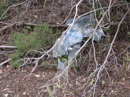 The star of most every desert-wilderness trip: the stray balloon
 I'm seeing some footprints in the sand now as I get closer to the Pine Spring area
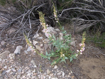 Another Palmer's penstemon starting to bloom
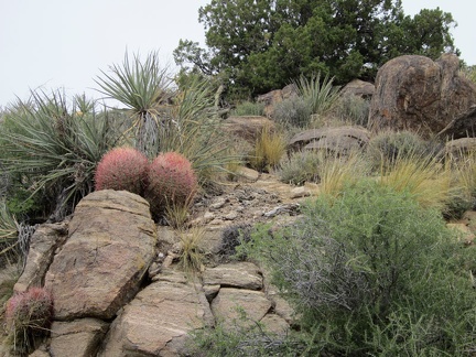 I'm surprised to notice a few barrel cacti along Pine Spring Road on my way back to the tent
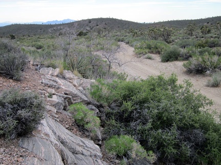 I have an easy one-mile walk down Pine Spring Road to finish off the day's hike
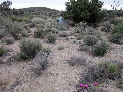 And there it is, home again for the night near Pine Spring, with a flowering beavertail cactus along the way
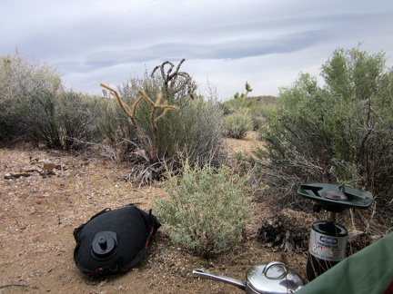 Time to boil water for this evening's instant meal: Mountain House Rice with Chicken (yum)
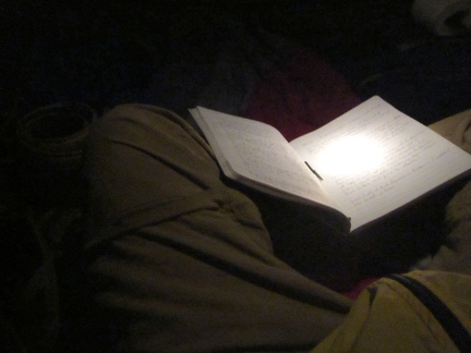 After dark, I write notes in my journal and wind down as the evening gets progressively cooler
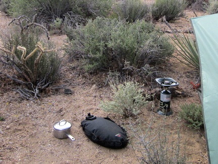 I slept fairly well, but wake up early to a chilly, grey morning here in the McCullough Mountains foothills
 Near my tent, this shiny black bug is having fun climbing a bush
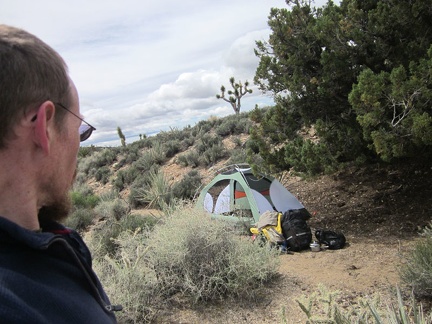 Camp slowly gets packed up, and I lazily leave my Pine Spring campsite around 11h30
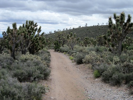 The first part of the backtrack ride away from the Pine Spring area rolls in between some low hills
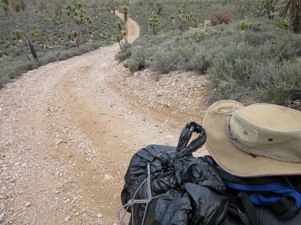 I've just climbed up the single short, steep hill on the way out of Pine Spring
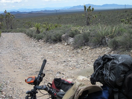 From here, the high point of the day, at about 4925 feet elevation, it will be mostly gentle downhill until I reach Searchlight
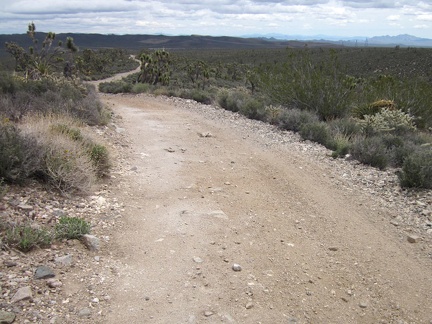 This part of Pine Spring Road is fun to descend, with a drop of about 600 feet elevation in 1.5 miles to the powerline road
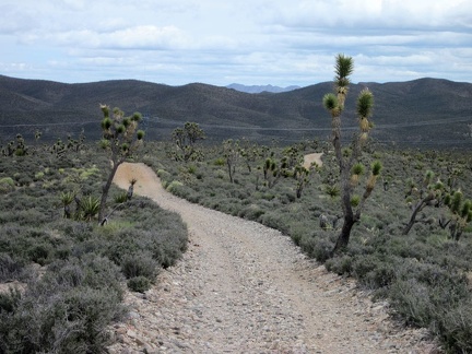 It's a great ride rolling downward toward the McCullough Mountains powerline road
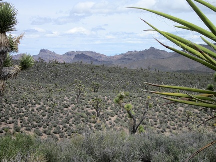 On the other side of Piute Valley is the Highland Range, about which I know little
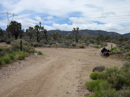 I take a short break at the junction of Pine Spring Road and the powerline road, looking back toward the McCullough Mountains
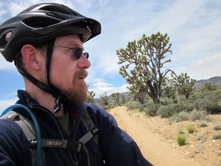 I'm still wearing my sweater as I ride along the Wee Thump Wilderness' northern boundary
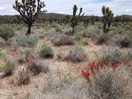 I spot a few Indian paintbrush flowers near the road on the northeast side of Wee Thump Wilderness
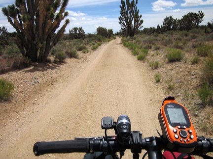 The road along the northeast side of Wee Thump Wilderness is often (but not always) in good condition
 At around 4200 feet, I'm starting to see just a few wildflowers in the Wee Thump Wilderness area
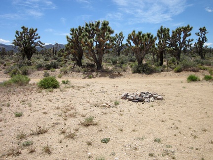 Nearby, a campsite and fire ring are on the other side of the road from the Wee Thump Wilderness
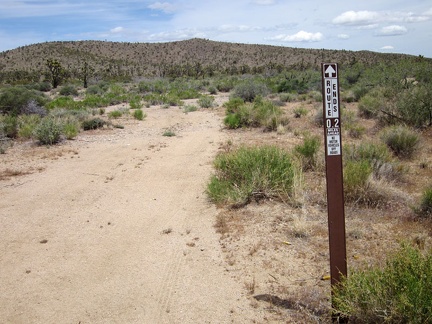 I come across a road marked as a dead-end, only 0.2 miles long
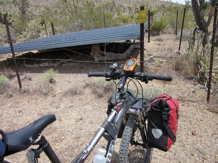 It turns out that the short dead-end road ends at a guzzler (a contraption for storing rain water for later use by wildlife)
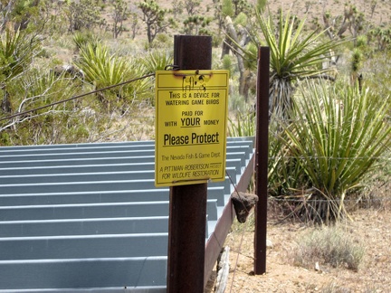 "This device for watering game birds was paid for with YOUR money"
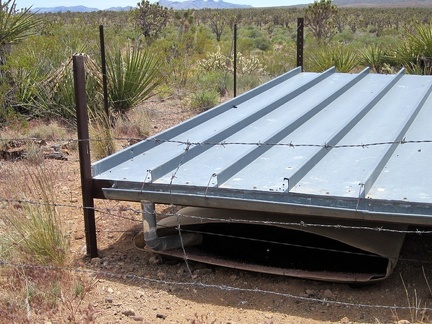 This guzzler collects water and drains it into the container hiding below the "roof"
 Back on the "main road" on the east side of Wee Thump Wilderness, I stop for another quick break to take off my sweater
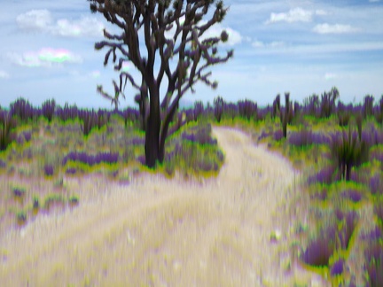 A moment of panic ensues when I drop my camera and it no longer takes good photos
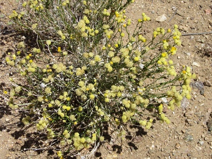 Along the Wee Thump Wilderness road, I see some yellow buckwheat-like flowers that I'm not familiar with
 Yellow and peach cactus flowers next to the small pink blooms of range ratany, adjacent Wee Thump Wilderness, Nevada
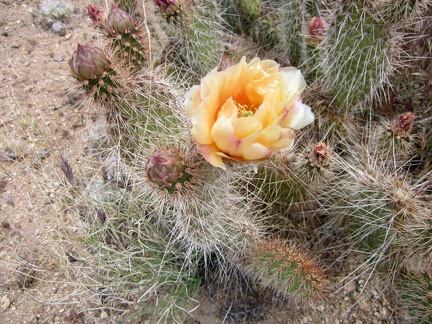 Cactus-flower close-up, next to Wee Thump Wilderness, Nevada
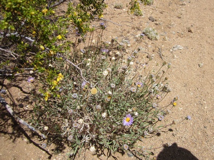 This Mojave aster, growing at the edge of a creosote bush, still has a few fresh flowers
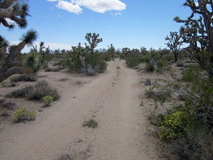 I keep riding along the edge of the Wee Thump Wilderness after passing another guzzler (same model as the last one I saw)
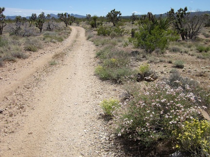 This part of the Wee Thump Wilderness road sports some pink buckwheat blooms
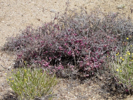 This range ratany at Wee Thump Wilderness is in full bloom
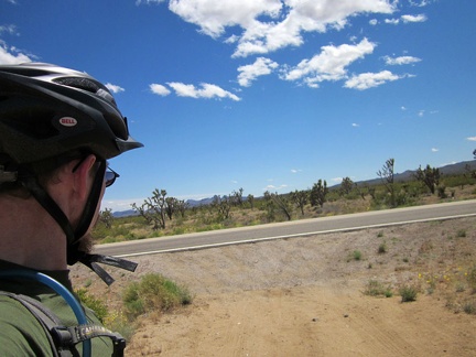 The so-scenic ride through the joshua-tree forest along Wee Thump Wilderness ends here; time to ride the highway for a bit
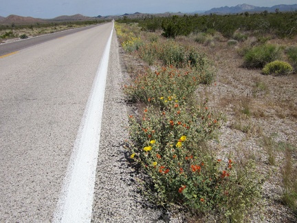 A few bouquets of yellow and orange dress up the seven-mile straight-line ride to Searchlight, visible even from here
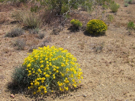 Close to Searchlight along Nevada 164, I notice a few of these yellow domes
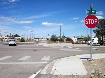 After seven miles, I arrive at the stop sign: I arrive at Searchlight, Nevada, population 576
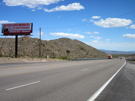 I pull in at one of Searchlight's two gas-station convenience stores, but no propane bottles are sold here
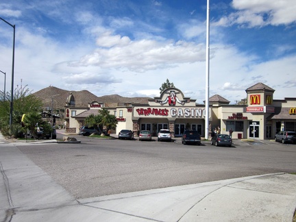 Of course, there's a casino next door (this is Nevada!) and it has a McDonald's, the only fast food in town
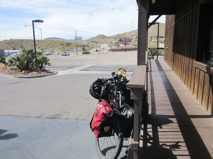 At the south end of Searchlight, Hwy 95 leaves town for the open desert
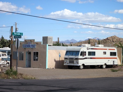 Sweet! I stumble across another, smaller, general store and gas station that carries the propane bottle I want!
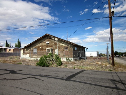 A lot of the older houses in Searchlight have a bit of old-style character, but need some work
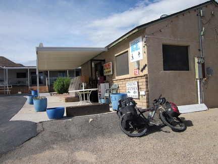 Across the road from the little general store is Searchlight's laundromat
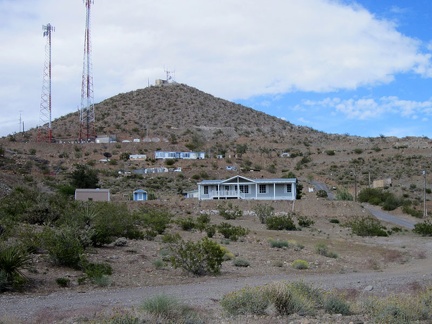 The hills in Searchlight provide a terraced effect in some neighborhoods
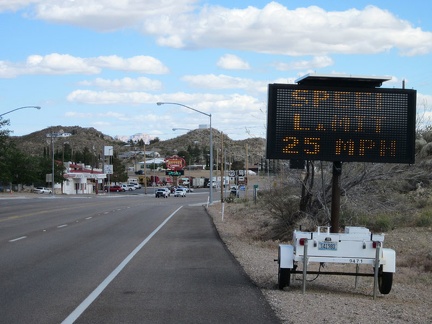 It makes a lot of sense to reduce the speed limit where it goes through town (crossing such a busy road can be interesting)
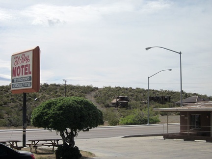 I decide to check in for a night at Searchlight's only motel; I'll check out that old miner's cabin across the road tomorrow
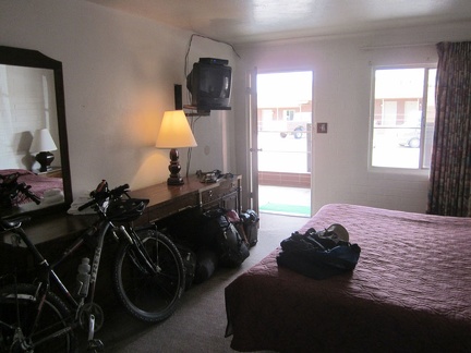 My room is clean, though the mattress rather worn-out, and it's bicycle-friendly
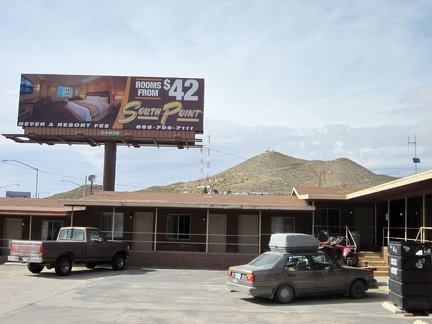 A billboard next to the Searchlight motel advertises a "luxury" motel elsewhere
 After a bla meal at McDonald's, I settle in for an evening of TV and writing notes in my brick-walled room
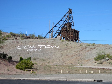 Breakfast in Searchlight means McDonald's again (ugh); I admire the old Colton Mine headframe on the way back to my motel room
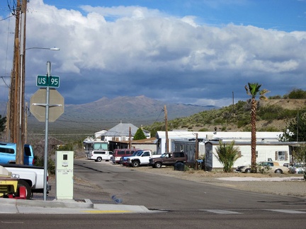 Looking down the street in Searchlight, I can see the forecast rain clouds hovering over the mountains where I'll be headed soon
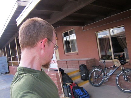 I think I'm leaving the Searchlight motel early, but the cleaning woman also arrives early, reminding me that check-out is 10h
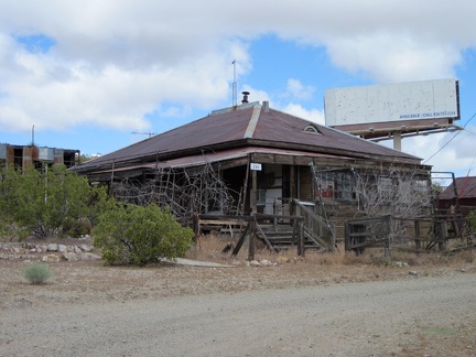 My first stop upon leaving the Searchlight motel is the old mining residences just across the road
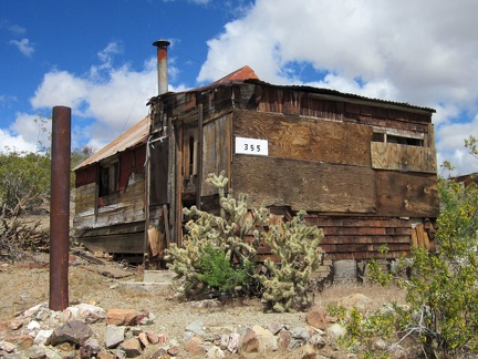 Nearby is a second building, a small cabin: all this in "downtown Searchlight"
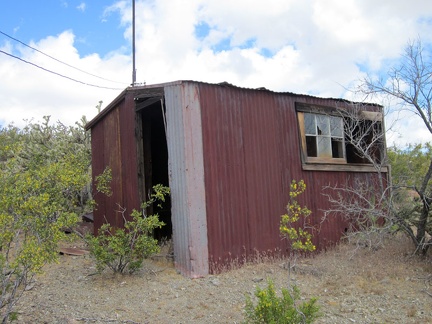 In the backyard sits a small outbuilding
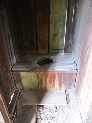 A major luxury...
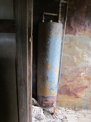 Another luxury: an old hot water heater
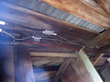 And perhaps the biggest luxury of them all: electricity
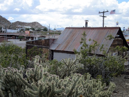 From behind the old miner's cabin, I look across the highway to last night's Searchlight motel
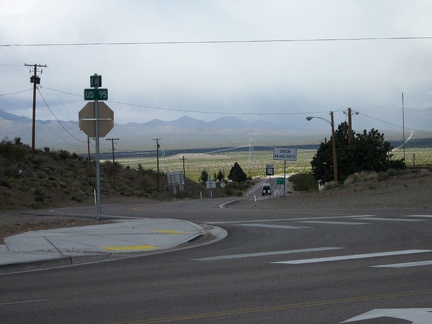 OK, time to start today's ride; I start riding down Nevada 164 into the grey clouds
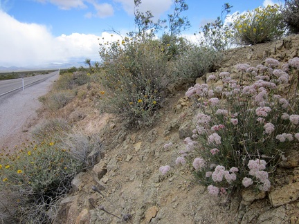 I spot a nice clump of pink buckwheat flowers along Highway 164 on the way out of Searchlight
 From Nevada 164, I zoom in across the valley and see some rain clouds over the Castle Peaks, my destination today
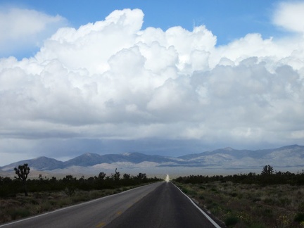 As I head into the clouds on Nevada 164, I see a little sunny spot on the road ahead
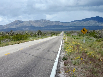 Indeed, the sunny spot on Nevada 164 stays put and I ride into it
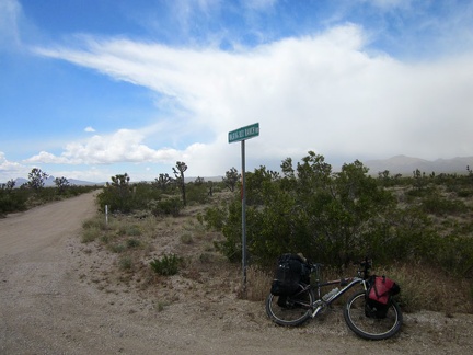 I reach Walking Box Ranch Road and it's time to ride up that way and leave pavement for a few days
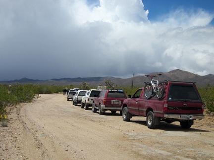 A row of 6 SUVs has stopped by the Walking Box Ranch, apparently preparing for a ride into the rain clouds ahead, like me
 I take a short break over by the Walking Box Ranch entrance; it's not open to the public, but it's nice to look at
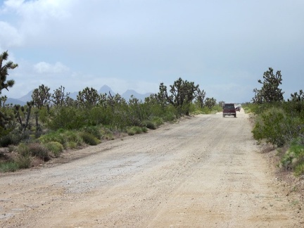 I pass the stationary 4WD folks and begin my ride up Walking Box Ranch Road; they soon depart too and pass me, one by one
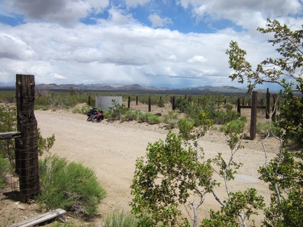 After half an hour, I take a short break at an old corral on Walking Box Ranch Road where I've stopped before
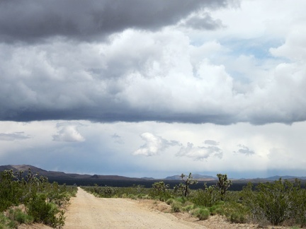 I'm often looking back behind me toward Nevada 164 and the Highland Range to take in the cloud formations
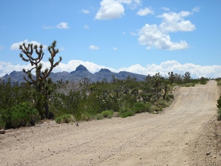 Though mostly gradual, Walking Box Ranch Road does have a few short rolling hills
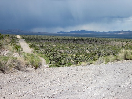 Looking back on Walking Box Ranch Road, it looks stormy over toward the McCullough Mountains where I camped 2 days ago
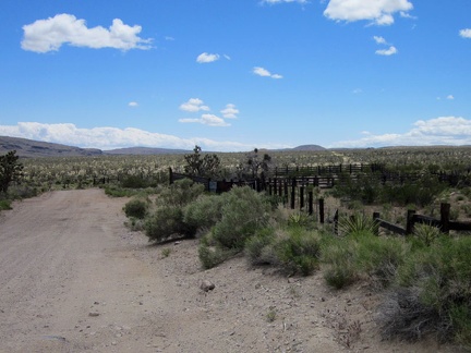 As Walking Box Ranch Road approaches the California border, I pass another old corral
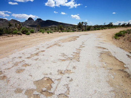 Here and there on Walking Box Ranch Road are bits of residual old pavement
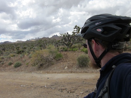 I'm feeling happy now that I'm seeing views of the Castle Peaks, Mojave National Preserve
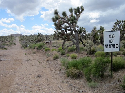 Walking Box Ranch Road is a "Road Not Maintained" on the California side of the border
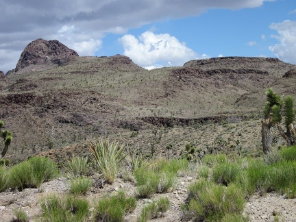 I pass the Castle Mountains area, just outside Mojave National Preserve, and remind myself to visit this area in the future
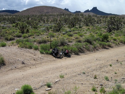 I'm going to leave Walking Box Ranch Road here and follow this smaller road at my left toward Castle Peaks
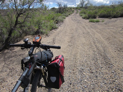 My new road, which I've not been on before, immediately drops into a sand-and-gravel drainage area
 Phew, my road rises out of the gravel onto a smooth surface and passes a "Entering Mojave National Preserve" sign
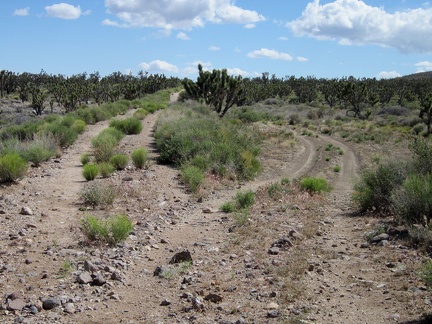 I reach a brief detour down and around a washed-out section of this road and it occurs to me that this is an old railway grade
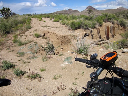 A close-up of the wash-out reveals buried posts that supported the old Barnwell and Searchlight Railway grade
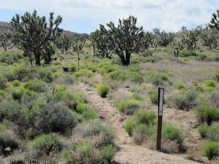 I pass an old road leading toward the Castle Peaks area, now closed by Wilderness markers
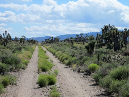 The Barnwell and Searchlight Railway grade is a great mountain-bike ride today, 100 years after the rail line was decommissioned
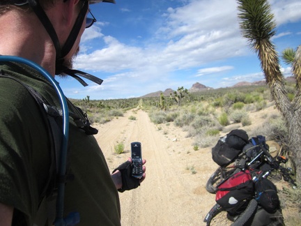 I take a quick break in the joshua-tree forest to enjoy the silence and try my cell phone; I also remove my sweater
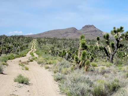 I zoom in behind me for a closer look at the old Barnwell and Searchlight Railway grade that I've been riding for a while
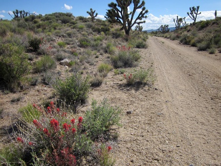 I haven't seen many wildflowers along the old railway grade, so a patch of paintbrush really catches my attention when I pass by
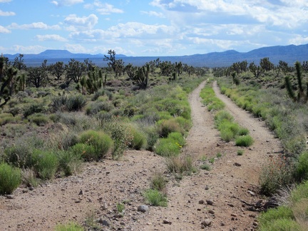 Suddenly, I have a view across Lanfair Valley all the way to Tabletop Mountain (the distant flat-topped hill, of course)
 I take the detour around another wash-out on the old Barnwell and Searchlight Railway grade
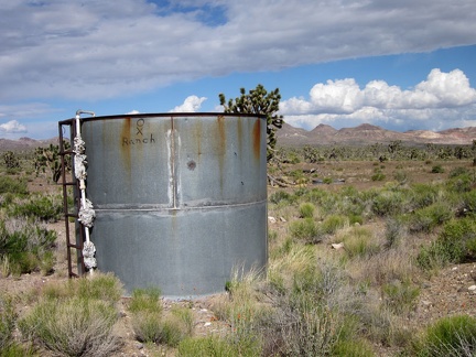 I pass an old OX Ranch water tank, so I'll be leaving the Barnwell and Searchlight Railway grade shortly
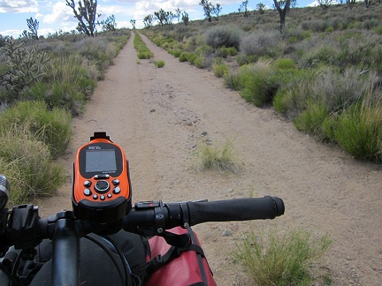 I start riding, and sometimes walking, the 10-ton bike up Castle Peaks Road, the final leg of today's trip
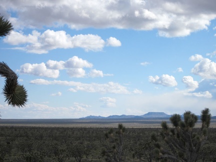 As I rise slowly, the views across Lanfair Valley become increasingly expansive
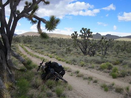 Castle Peaks Road heads across the land toward a slot between the rolling hills at upper-left
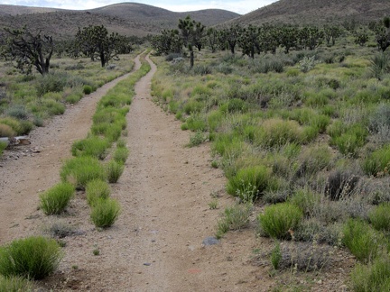 10 minutes later, I'm almost at the next landmark, where Castle Peaks Road arrives at the slot in the rolling hills
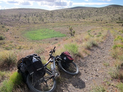 Between the rolling hills, Castle Peaks Road rises up a short steep hill onto a man-made berm overlooking a dry reservoir
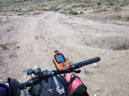 The short, rugged descent down the hill off the dam on Castle Peaks Road would require high clearance
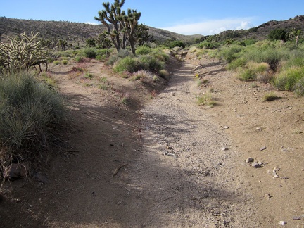 Castle Peaks Road beyond the dry reservoir continues to deteriorate
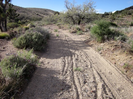 Immediately after the little detour on Castle Peaks Road is another sandy stretch, too deep for me to ride the 10-ton bike
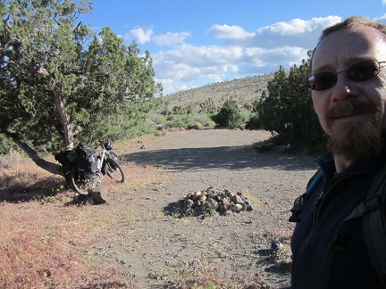 My wish is granted when I reach a well-used campsite a short distance ahead, just off Castle Peaks Road
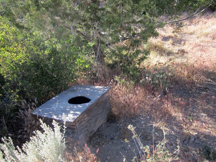 I go for a short walk as I try to decide where to erect my tent, and I discover this luxury outdoor toilet
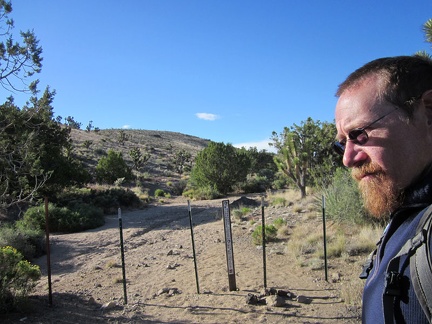 I have to laugh while walking around my new campsite; I discover that I'm at the end of Castle Peaks Road without realizing it
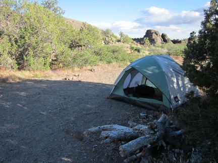 I set up camp next to a juniper tree, hoping that it might provide a bit of a wind break should I need it
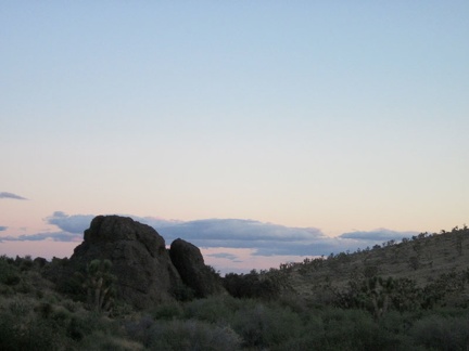 Since I'm between a couple of hills, I don't get to see a full sunset here at the end of Castle Peaks Road
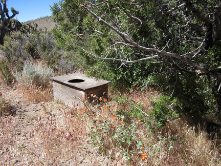 Morning at Castle Peaks Road means I get to try out the deluxe facilities while listening to the quail; it works well!
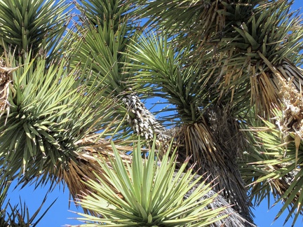 I notice bird activity near my tent and locate a nearly invisible bird's nest in an elbow of this joshua tree at centre-right
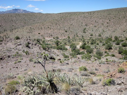 I start today's hike by climbing up a hill and looking down at my tent in the little valley at the end of Castle Peaks Road
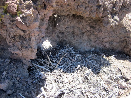 Someone has a nest here sheltered against a boulder on top of the hill above my tent
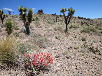 I pass a few brilliant Indian paintbrush plants as I further climb the hills above my tent
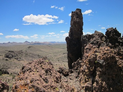 I'm now at one of the high points of this ridge in the Castle Peaks area, at about 5225 feet elevation
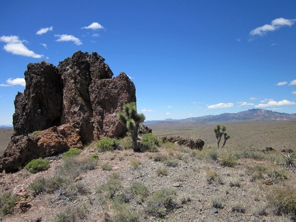 Good views over to the New York Mountains peaks from this Castle Peaks ridge
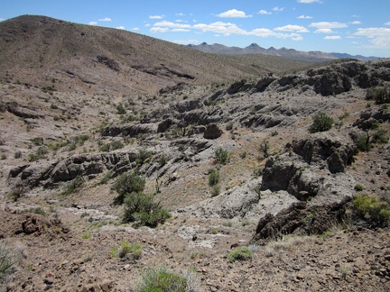 From this ridge, the only way is down, so I continue eastward down into the canyon below
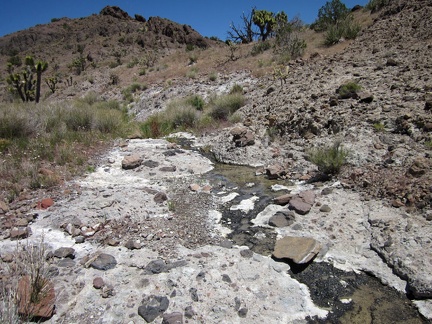 To my surprise, I find a small stream in this unnamed Castle Peaks canyon
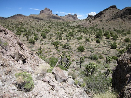 I climb up the next hill and down into a juniper-studded valley
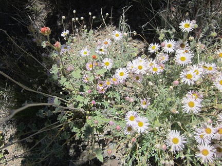 I encounter a nice patch of Mojave asters on the way down into the valley below Castle Peaks
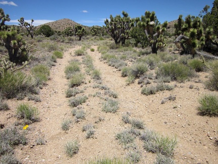 In this little valley below Castle Peaks, I reach an old closed road, a perfect trail after a bit of cross-country hiking
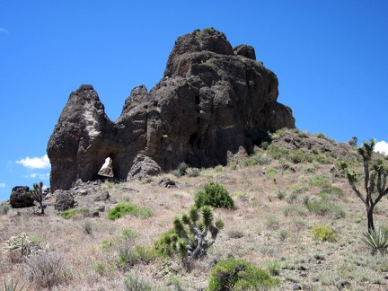 The cool rocks formations in the Castle Peaks area are endless; this one harbors a small natural arch
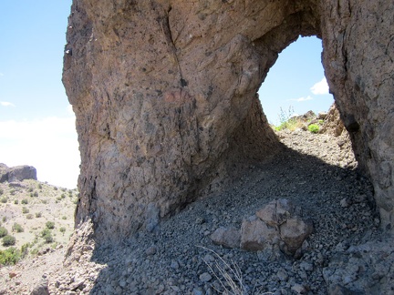 I crouch and walk through this little rock arch in the Castle Peaks area
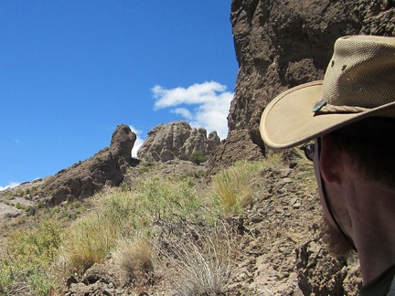 On the other side of this Castle Peaks arch is a rock formation that looks like a tortoise, with its head extended
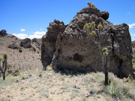 I climb over the next hill (a 75-foot rise), upon which I find a boulder with a tuft of cactus on its head
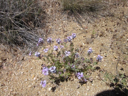 I find a few Gooding's verbenas blooming in the wash
 Now that I'm in a smooth-bottomed wash in the Castle Peaks area, my hiking speed is picking up a little
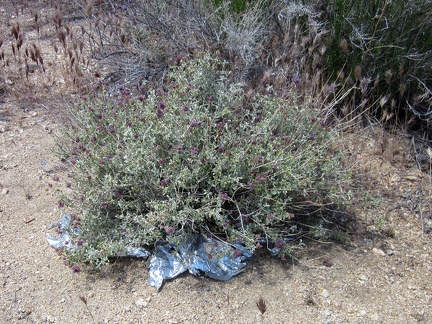 In this Castle Peaks wash, I encounter my first stray balloon of the day, trapped in a desert sage bush
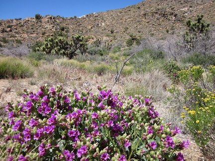 In this Castle Peaks wash is the most lush Desert four o'clock (Mirabilis multiflora) that I've seen so far on this trip
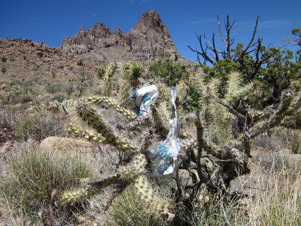 Six minutes after my first balloon discovery, I stumble across a second one in the same Castle Peaks wash
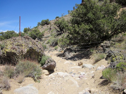 Hiking down this Castle Peaks wash is fun (it's a bit downhill), and then I reach this fairly recent barbed-wire fence
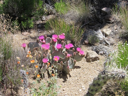 A nice juxtaposition of pink cactus flowers and orange desert mallows in this Castle Peaks wash
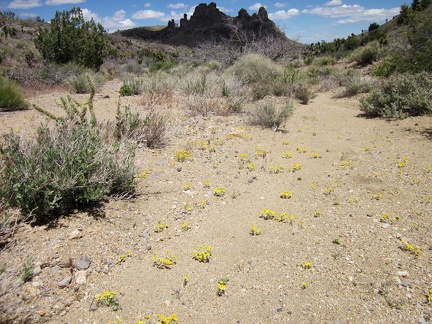 Yellow Eriophyllum wallacei flowers are scattered intermittently in this Castle Peaks wash
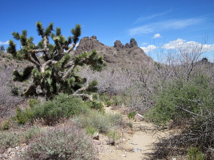 A few stretches of this Castle Peaks wash have a lot of thorny Catclaw acacia bushes to avoid
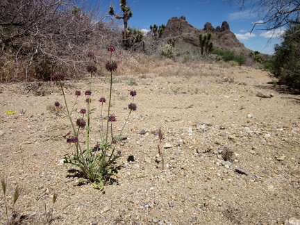 A few rather large Chia sages grow in this Castle Peaks wash
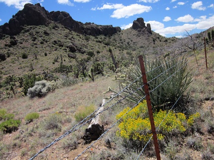 I climb out of the wash and crawl under the barbed-wire fence again, in order to continue hiking toward Indian Spring
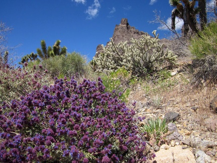 Near the barbed-wire fence is the brightest blooming desert sage I've seen yet on this trip
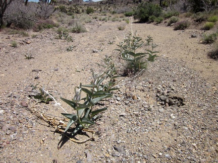 I drop down into the next wash that my route randomly crosses
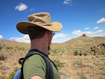 I continue hiking more or less along the barbed-wire fence
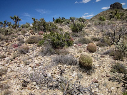 I climb over several low hills on my cross-country route toward Indian Spring
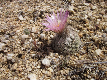 I notice a nice little "pineapple cactus" on my cross-country trek over the low hills
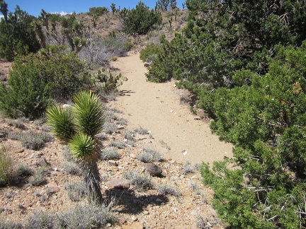 As I drop down into yet another wash, I realize I'm quite close to Taylor Spring (dry), where I hiked last year