Home 7119

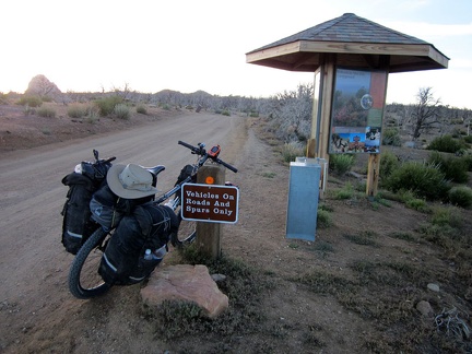 I arrive at the Mid Hills campground entrance kiosk; I'm happy to be back for yet another visit
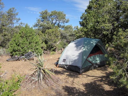 It was chilly again last night, and windy, but the sun is warm on my first morning at Mid Hills campground
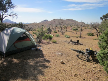 On the other side of my tent at Mid Hills campground site 9 is a wide-open space that burned in the 2005 brush fires
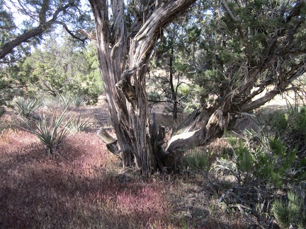 Some of the juniper trees, like this one, at Mid Hills campground are quite old
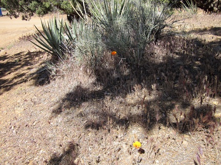 Here and there, an orange mariposa lily pops up among the banana yuccas, junipers, and pinon pines at Mid Hills campground
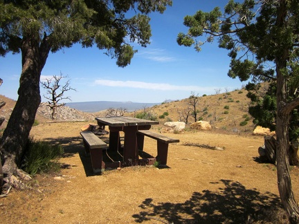 I walk over toward the campground's overlook and stop at the campsite where "the other bicyclist" said he was camping
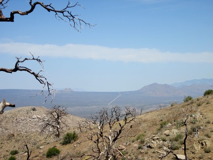 From the Mid Hills campground overlook are open views across to Cima Dome
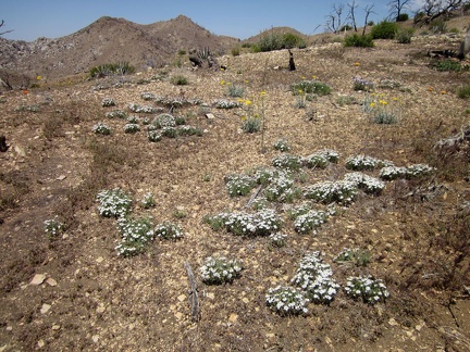 I remember seeing patches of these small, daisy-like flowers when I was here last year
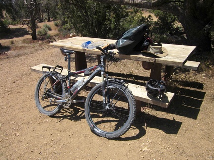 It's time to prepare the bicycle for a ride down to Hole-in-the-Wall campground, where I can recharge my cell phone
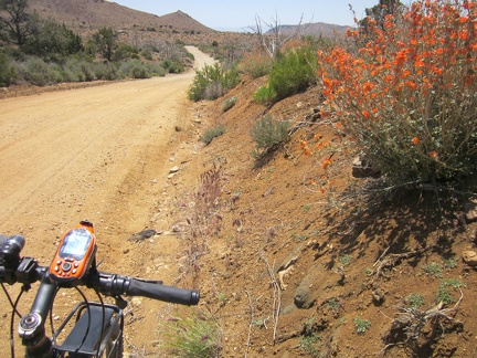 Just before noon, I leave Mid Hills campground and ride down Wild Horse Canyon Road without the weight of my camping baggage
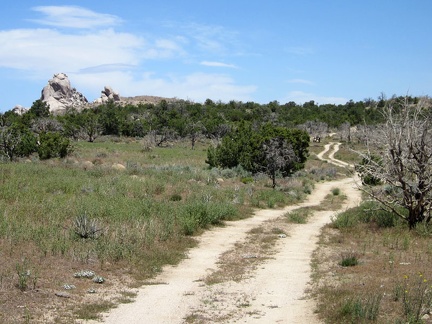 On the way down Wild Horse Canyon Road, I pass the little road that leads to the Eagle Rocks area
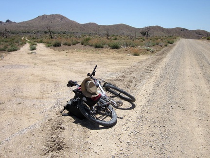 After a couple of miles, I reach the smaller "Gold Valley Road" on my left and leave Wild Horse Canyon Road
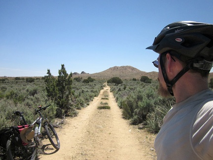 The first part of Gold Valley Road passes through a meadow thick with mature sagebrush
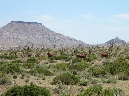 I pass a herd of cows on Gold Valley Road, with Table Mountain in the background
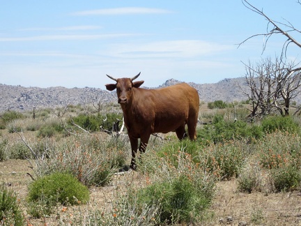 The bovines along Gold Valley Road look at me for a moment
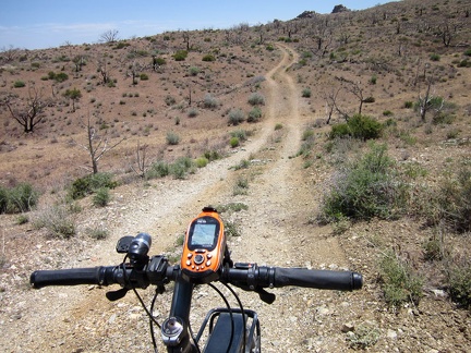 The upper part of Gold Valley Road rolls up and down over gently folding terrain
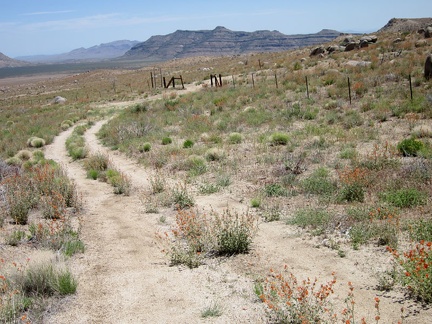 I stop on a low bluff to try my cell phone and it works, so I take a short break and send a few text messages
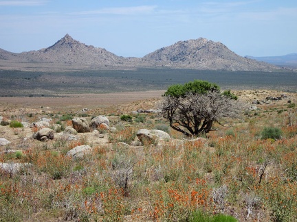 This old juniper tree was mostly burned, like everything surrounding it, during the 2005 brush fires, but its crown lives on!
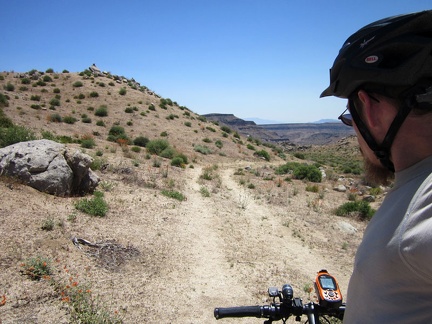 Gold Valley Road rises up a gentle hill and arrives at a higher area with nice views of the surroundings
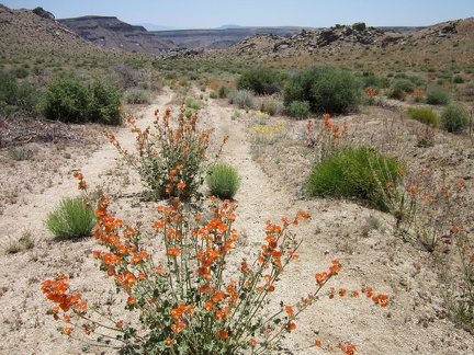 Desert mallows bloom in the middle of Gold Valley Road near its summit
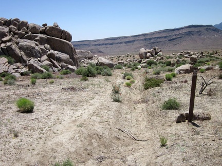 Also at the summit of Gold Valley Road is a scattering of boulders
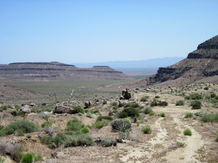 Finally, Gold Valley Road dips down into Gold Valley itself
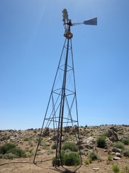 On the way down the hill, I stop at the windmill and water tank near Gold Valley Spring
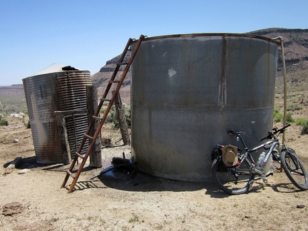 The Gold Valley water tank is overflowing
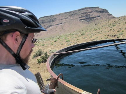 A tank of deep blue fresh water in the desert?
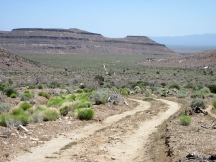 After my stop at the Gold Valley water tank, I still have a bit more downhill mountain-biking ahead
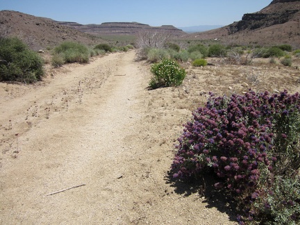 The lower part of Gold Valley Road has more sand; I sometimes lose traction and need to walk the bike occasionally
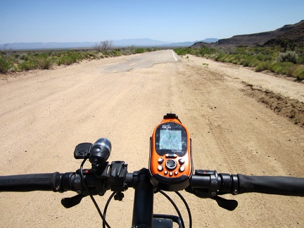 After crossing the valley, Gold Valley Road comes to an end and I join the larger Black Canyon Road
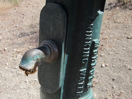 At the Hole-in-the-Wall visitor centre, I recharge my cell phone and chat with Preserve staff and a couple of visitors
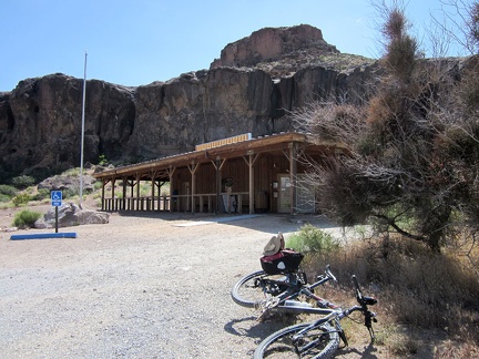 Before leaving Hole-in-the-Wall, I refill my water bottles
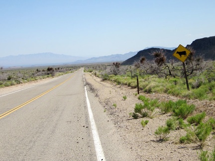 I ride a few hundred feet on pavement on Black Canyon Road before turning off toward Saddle Horse Canyon
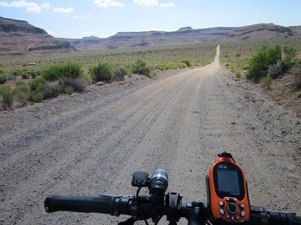 I start riding the lower part of Wild Horse Canyon Road and will park just before those hills almost two miles ahead
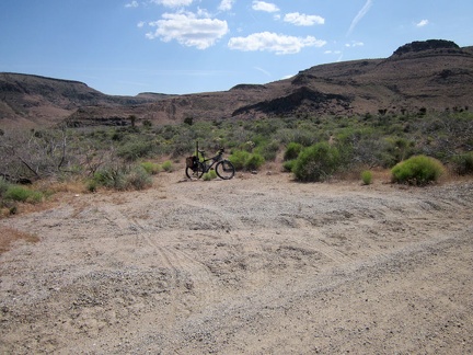 I pull over at a turn-out on Wild Horse Canyon Road, stash the bicycle in the bushes and begin the hike
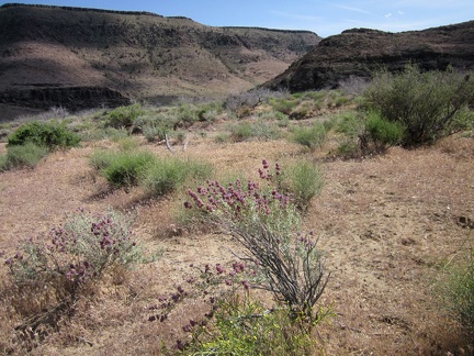 A few desert sages (Salvia dorrii) are still blooming here on the approach to Saddle Horse Canyon
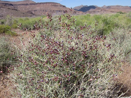 On the approach to Saddle Horse Canyon, I pass another flowering plant that I like: Paper-bag bush (Salazaria mexicana)
 I walk over to some rocky outcrops along the way and see something that I thought I might see in an area like this
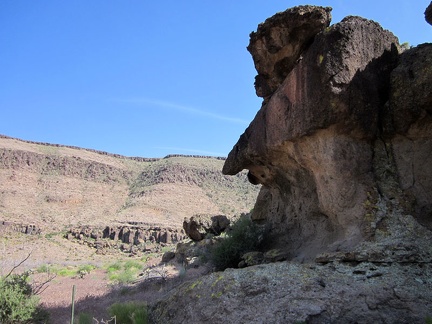 Dramatic rock erosion at the entrance to Saddle Horse Canyon
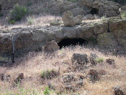 A few small holes in the rocks near the mouth of Saddle Horse Canyon
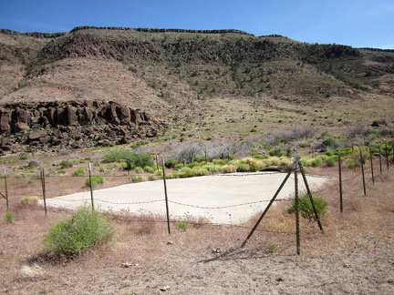 At the mouth of Saddle Horse Canyon is a guzzler (a pad of concrete), dry right now due to lack of rain
 I pass a budding milkweed in Saddle Horse Canyon
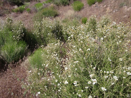 Quite a few Cliff roses (Purshia) grow in Saddle Horse Canyon
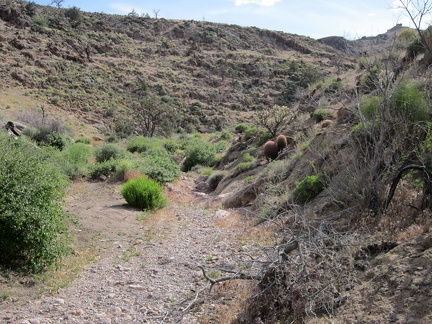 I continue hiking around plants and rocks on my way up Saddle Horse Canyon
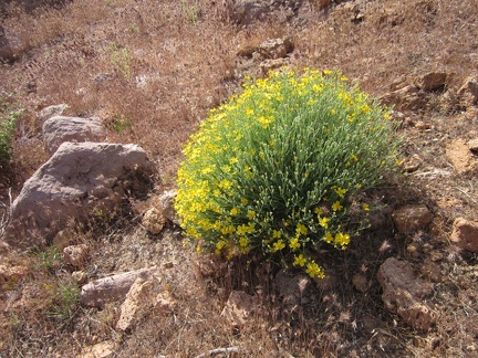 Paper-flower bush (Psilostrophe cooperi) in Saddle Horse Canyon
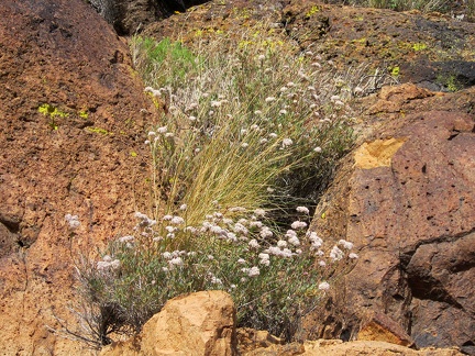 Buckwheat flowers pop out between dark rocks that absorb the hot sun in Saddle Horse Canyon
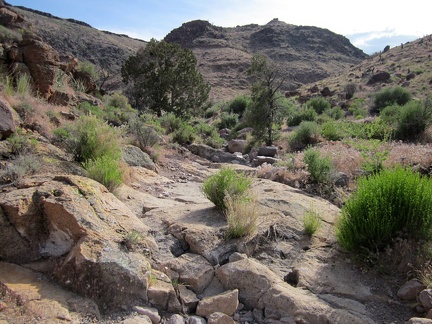 The 2005 brush fires passed through Saddle Horse Canyon, but a few juniper trees survived
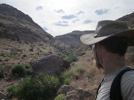 Well, this is about as far up Saddle Horse Canyon as I'll go; I want to be riding up Wild Horse Canyon Road around sunset
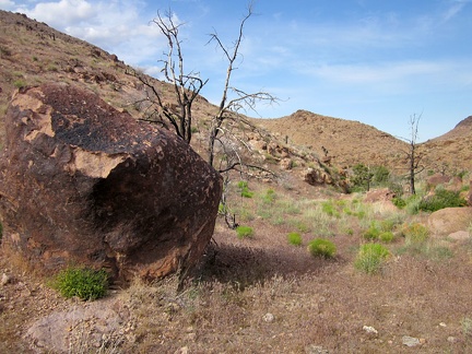 I turn around and start my way back down Saddle Horse Canyon, wondering if I shouldn't be turning around so soon
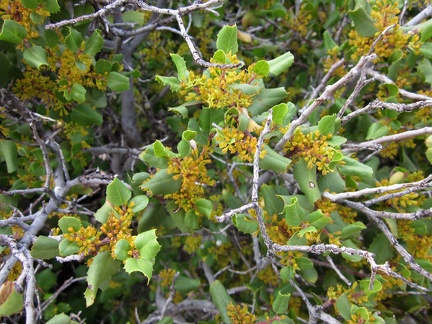 This bushy desert oak shrub in Saddle Horse Canyon seems to have grown back despite being burned in the 2005 brush fires
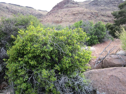 I take a closer look at that regenerated oak in Saddle Horse Canyon
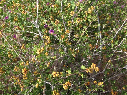 Purple four o'clock flowers poke through a Rhus trilobata bush laden with unripe berries in Saddle Horse Canyon
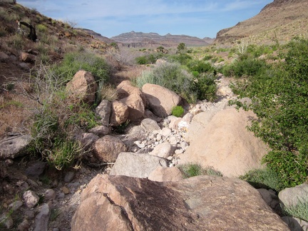 I'm enjoying these parts of Saddle Horse Canyon where I can walk in the dry drainage channel
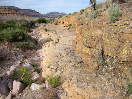 Here's another part of Saddle Horse Canyon that allows me to avoid getting more grass stuck in my socks
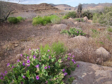 I'm back in an open, grassy area as I hike out of Saddle Horse Canyon
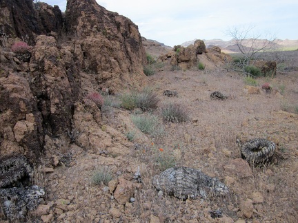 A few small barrel cacti are on the side of Saddle Horse Canyon, some living, some burned
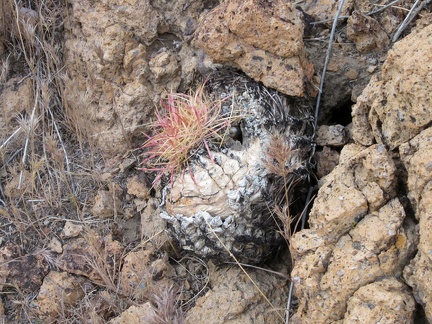 This charred barrel cactus is slowly resprouting after being burned in the 2005 brush fires
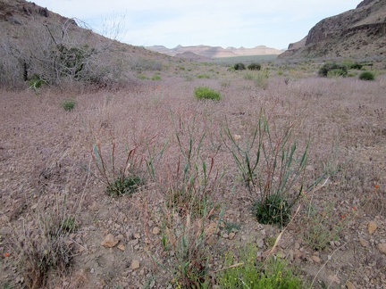 Near the mouth of Saddle Horse Canyon is a small stand of Desert trumpet buckwheats
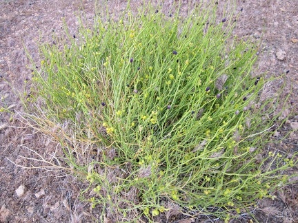 Thamnosma montana (Turpentine-broom) in Saddle Horse Canyon
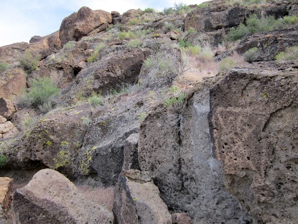 On the way back out of Saddle Horse Canyon, I decide to walk along the rock walls
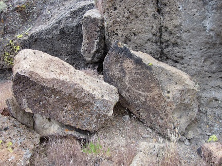 Bubbles in the rocks
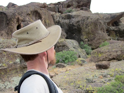 I've passed through the Hole-in-the-Wall area here so many times without stopping to take it in on foot
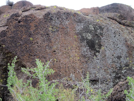 A bush of some kind manages to grow up on top of these rocks at the mouth of Saddle Horse Canyon
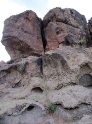 More big bubbles and fractures in the rocks
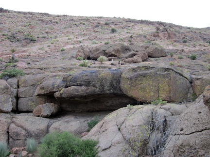 One of several rock shelters in the Hole-in-the-wall area
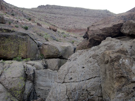 Camouflaged in the rocks is a small concrete dam to retain water running down from the hills
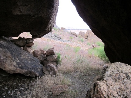 From another rock shelter in the area, I peer out into the sunshine
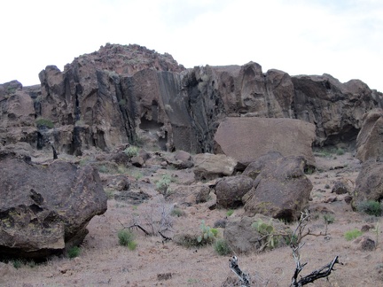 The rocks at the mouth of Saddle Horse Canyon are more interesting than further up the canyon
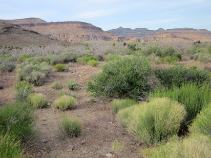 It's time to walk back to the 10-ton bike, parked half a mile away over by Wild Horse Canyon Road, just over there
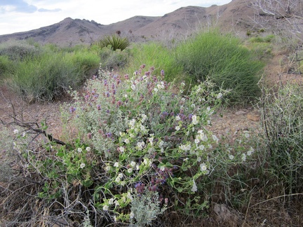 I pass a tangle of white and purple flowers on the way back to the bike near Wild Horse Canyon Road
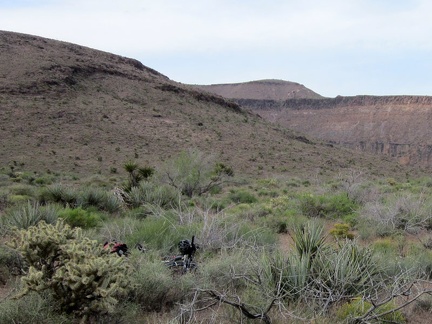 I'm back at the bike, which is hiding in the bushes just off Wild Horse Canyon Road, ready to ride home to Mid Hills campground
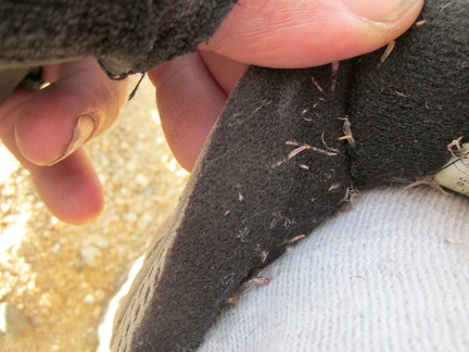 Before I start the ride up Wild Horse Canyon Road, I pick out some of the annoying stickers in my socks and shoes
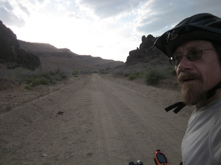 I start riding up Wild Horse Canyon Road, the lower part of which is washboarded and sometimes sandy
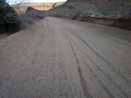 I look behind me as I climb up the lower part of Wild Horse Canyon Road
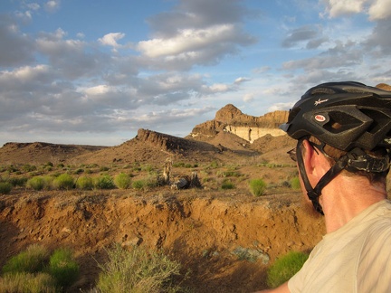 Wild Horse Canyon Road pops out of the canyon and onto higher ground, where I catch the beginning of sunset
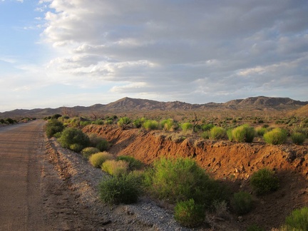 I enjoy the impending sunset as I slowly ride up Wild Horse Canyon Road
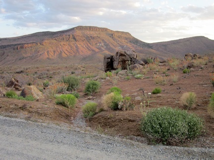 The Wild Horse Mesa area picks up a warm glow as I ride past
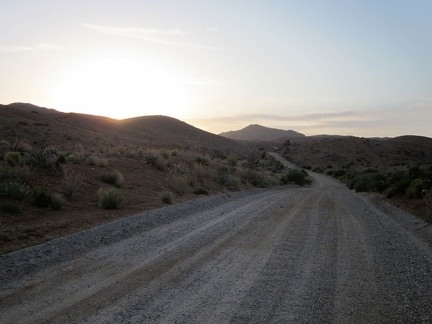 A car passes me along this stretch of Wild Horse Canyon Road, the only one I'll see on the way back to camp
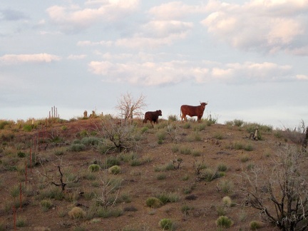 Bovines along Wild Horse Canyon Road
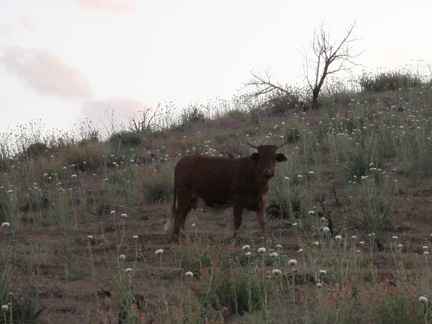 This bull poses for a portrait along Wild Horse Canyon Road
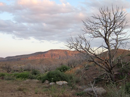 I turn back for another look at the Wild Horse Mesa area, which is still picking up a bit of sunset light
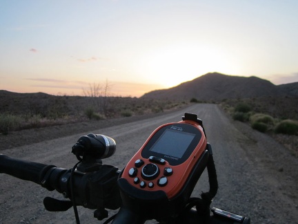 The sun hides behind Columbia Mountain as I ride up Wild Horse Canyon Road
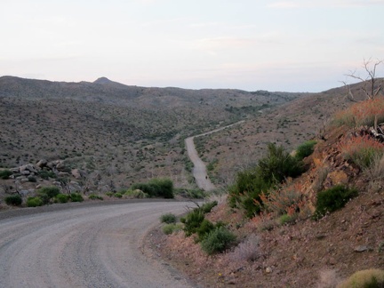 Wild Horse Canyon Road dips down into the upper part of Macedonia Canyon as I ride back to Mid Hills campground
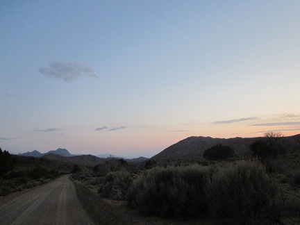 After passing Columbia Mountain, I look back at what remains of sunset and ride on to Mid Hills campground
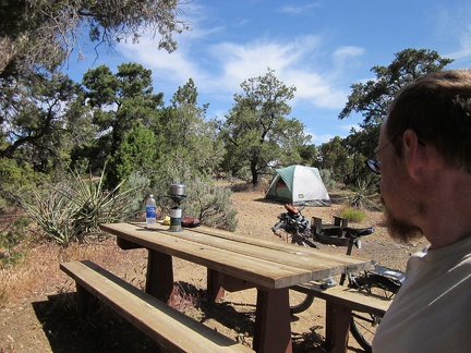 Another beautiful morning at Mid Hills campground; it's nice to have a water supply, so I heat up water to wash myself
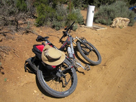 I stop at the water tap near my campsite at Mid Hills campground and fill up; I won't be passing any water holes today
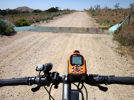 After leaving Mid Hills campground, I ride down Wild Horse Canyon Road and cross over this cattle guard
 A pick-up truck passes me on Wild Horse Canyon Road, a major event
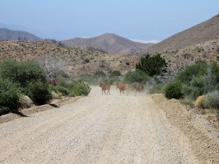 As I ride down Wild Horse Canyon Road, a few cows start to cross, but I end up inadvertently chasing them
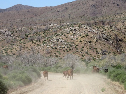 After 5 minutes, the cows are still running down Wild Horse Canyon Road, with me chasing them on my bicycle
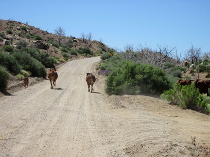 We come around a bend by Macedonia Canyon Road and start heading uphill; the cows aren't running quite so quickly anymore
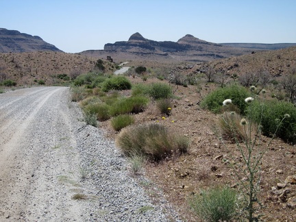 I continue riding down Wild Horse Canyon Road toward the Wild Horse Mesa area, watching for the easy-to-miss Bluejay Mine Road
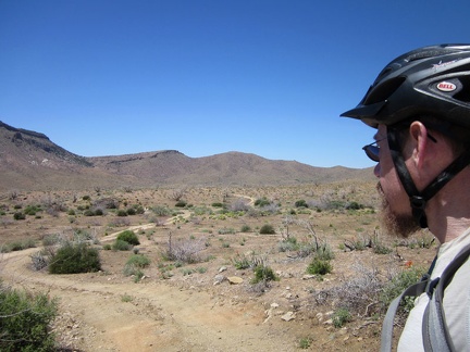 And there it is: Bluejay Mine Road; I leave Wild Horse Canyon Road here
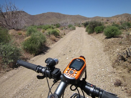 A short stretch of Bluejay Mine Road is in a sandy wash, and I'm glad it doesn't last too long
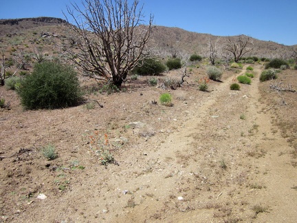 Bluejay Mine Road gets a bit better after rising out of the sandy wash
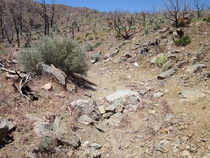 Like so many desert backroads, Bluejay Mine Road deteriorates as it approaches its end
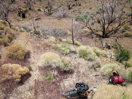 Bluejay Mine Road ends here, so I stash my bike in the brush, lock it up, and begin today's hike
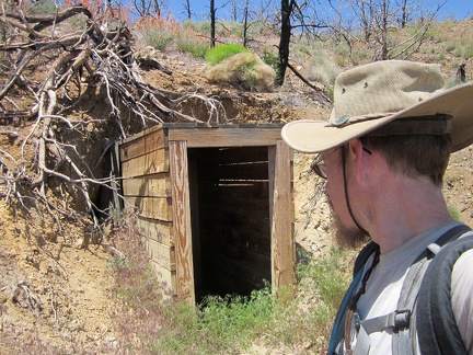 I take a look into the old entrance to the Bluejay Mine before I start climbing up the hill
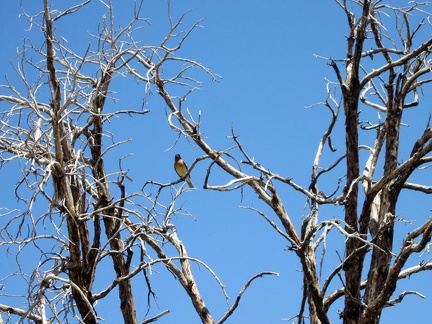 A yellow-chested bird watches me begin the hike up the steep hill above Bluejay Mine
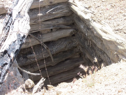 My first stop on the way up the hill is the upper shaft opening to the Bluejay Mine
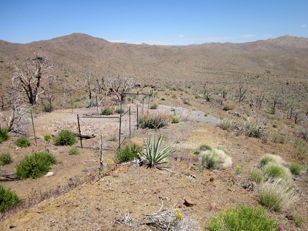 Because the upper opening to the Bluejay Mine is treacherous, it's surrounded by barbed wire
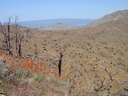 I soon make it high enough up the hill to have a view across the Providence Mountains to the subtle curve of Cima Dome
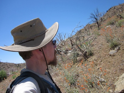 This hill in the Providence Mountains is a steep way to start a hike
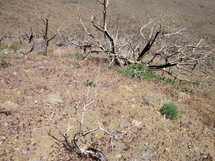 A quick look back down the hill behind me confirms why my heart is pounding
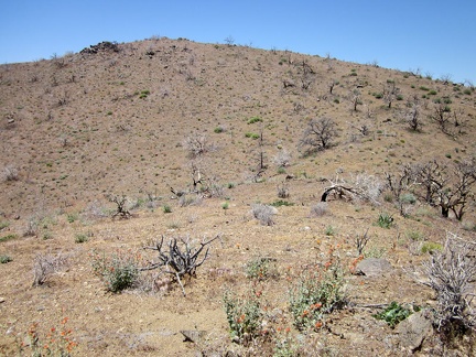 I'm at a false summit here, with another 125 feet or so of climbing to reach this Providence Mountains summit
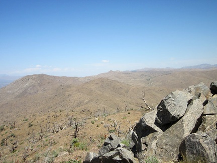 I arrive at my Providence Mountains summit (Hill 1713) and take inventory of the 360-degree views
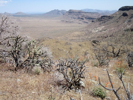 From Hill 1713, I can see across Gold Valley to Twin Buttes and the Woods Mountains
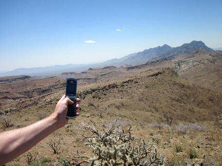 I turn on my cell phone up here on Hill 1713 in the Providence Mountains and get a signal, but...
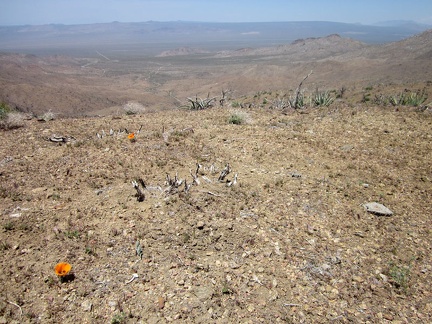 From Hill 1713 in the Providence Mountains, I can see Macedonia Canyon Road down below to the northwest
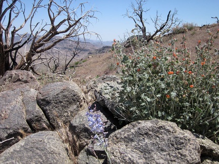 Also up here on Hill 1713 in the Providence Mountains are a few blue delphinium flowers
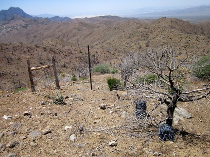 My route ahead is the Providence Mountains saddle to the right; I pass through an old range fence here
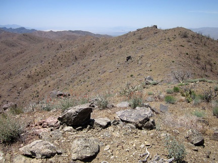 When I hiked here last year, I dropped down into Beecher Canyon, below at left; but not this time
 On this saddle in the Providence Mountains, I find the remains of a balloon
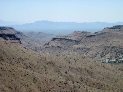 Beecher Canyon, scenic and tempting, but I'll stay up here on the saddle a bit longer so I can hike down into Globe Canyon
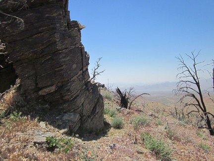 Hill 1624 in the Providence Mountains boasts a robust rock outcrop stacked in layers
 Hiding in the rocks on Providence Mountains Hill 1624 is a crushed "Bud Light" can
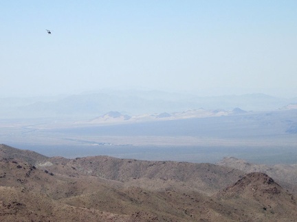 Everything has been quiet, and I can see down to the tiny town of Kelso, when a low-flying helicopter passes overhead
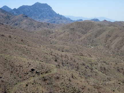 As I descend into Globe Canyon, I can see over to the high points of the Providence Mountains
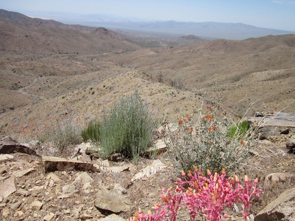 A few bright-pink dudleya stems brighten up the landscape as I follow the ridge down into Globe Canyon
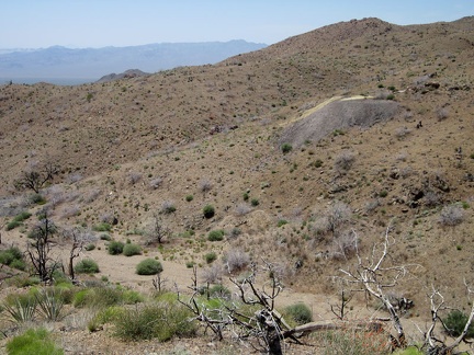 I reach the bottom of one of the forks of Globe Canyon and look up at an old tailings pile
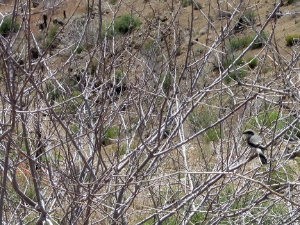 As I arrive in Globe Canyon, I notice a few black-striped birds flitting about in a catclaw bush
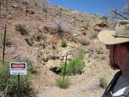 I pass a small mine opening in Globe Canyon
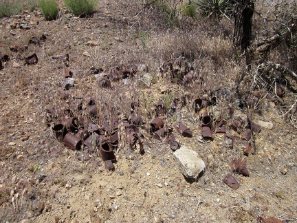 Nearby in this fork of Globe Canyon is a small can dump
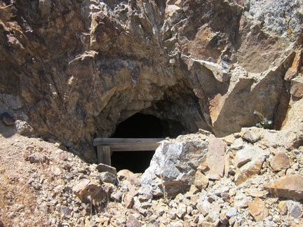 A short distance further down Globe Canyon is another old mine hole
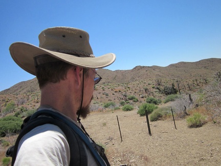 I continue down this fork of Globe Canyon and exit the Wilderness markers
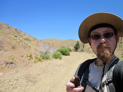 It's also time for a chocolate energy bar in Globe Canyon while consulting the GPS
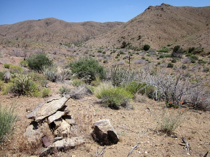 I climb over a small hill to reach the main Globe Canyon Road, and discover a rock cairn on the hill
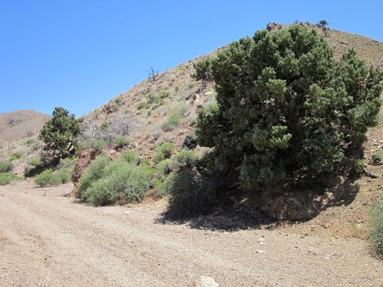 I'm on Globe Canyon Road now, starting the uphill hike toward Summit Spring, and pass a couple of old trees, still alive
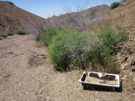 I pass an old sink while hiking up Globe Canyon Road
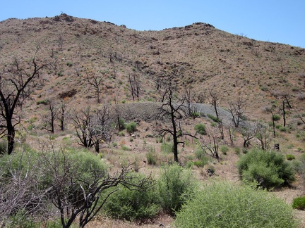 I pass another tailings pile along Globe Canyon Road
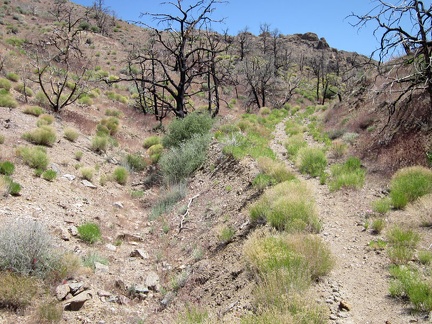 Globe Canyon Road becomes rather indistinct after a while
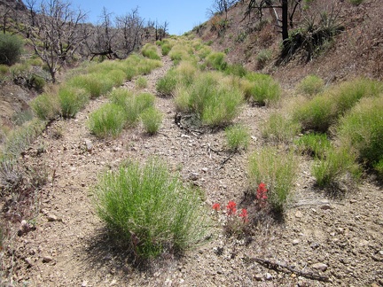 I turn a bend on Globe Canyon Road and have a short and steady uphill in front of me
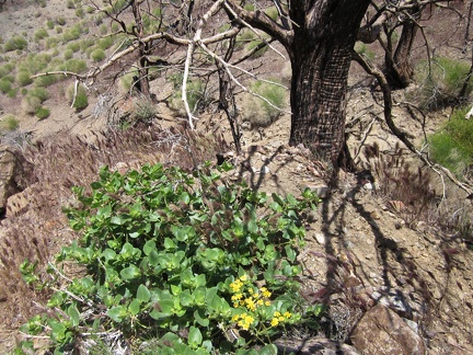 Under a burnt tree, two plants try to trick me: the yellow flowers don't belong to the the green patch of foliage
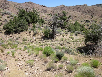 Approaching Summit Spring, the now-faint Globe Canyon Road levels out
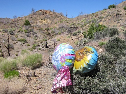 I'm almost at Summit Spring, but I notice a couple of stray balloons nearby; I take a short detour to look at them close-up
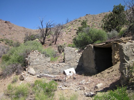 Next to Summit Spring are the remains of a concrete foundation and, presumably, a building
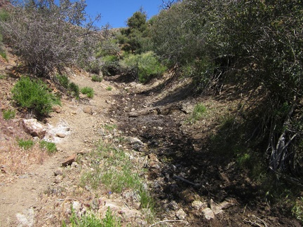 I see a moist drainage channel nearby, which I presume comes from Summit Spring
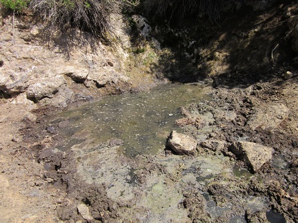 Well, here it is, Summit Spring, Mojave National Preserve, a disgusting concentrate of cow shit and water
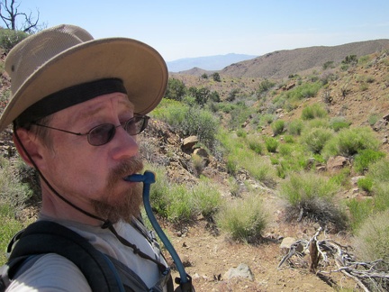 I'm thirsty, but I wait until I get up the hill away from stinky Summit Spring before guzzling more water
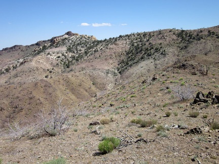 I'm on the Providence Mountains ridge again, so I look to the south toward a hiking route as yet unexplored
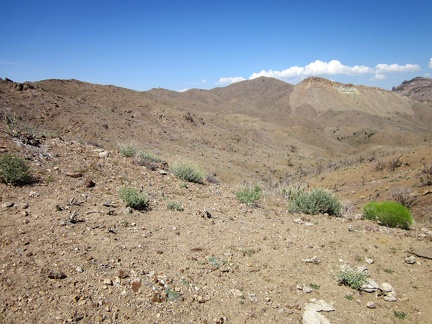 I'll follow the Providence Mountains ridge line to the left, then head right later to that high point at centre (Hill 1713)
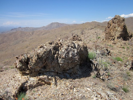 Numerous rock outcrops dot the Providence Mountains ridge line
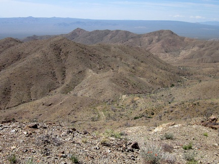 I get a good view of Globe Canyon Road from above, which I just hiked on the way to Summit Spring
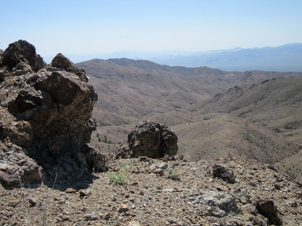 The little rock outcrops on the Providence Mountains ridge keep attracting my attention
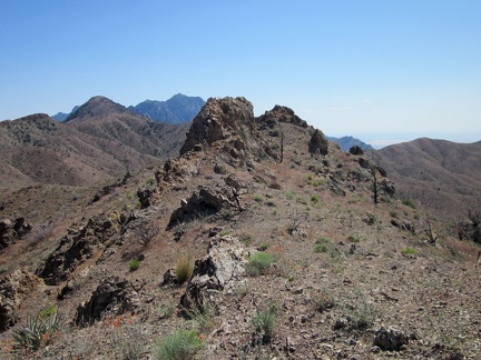 I take a look behind me at one of the spikes on the Providence Mountains ridge line that I just hiked over
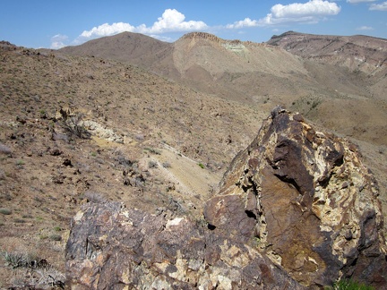 Over at the far right below Wild Horse Mesa is a thin line of trees where I hiked last year to get out of Beecher Canyon
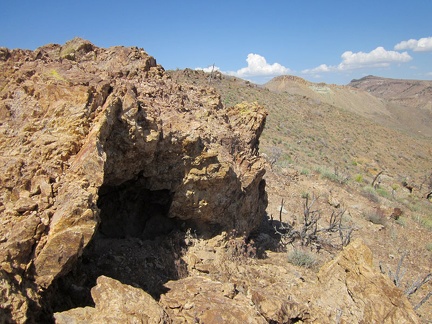 This outcrop on the Providence Mountains ridge line harbours a little cave
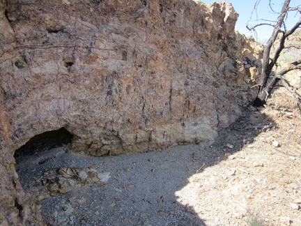 Another little cave on the Providence Mountains ridge line...
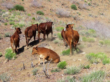 As I hike over another hump on the Providence Mountains ridge line, I arrive at a herd of resting cows
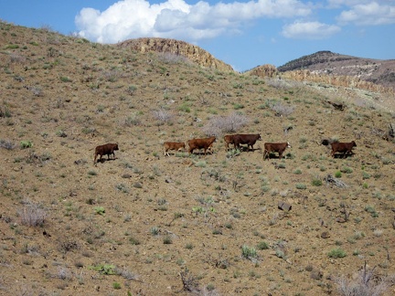 The cows saunter along the Providence Mountains hillside, toward where?
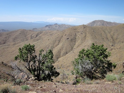 These two juniper trees on the Providence Mountains ridge survived the 2005 brush fires, just barely
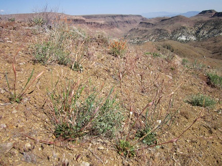 A few Desert trumpets (Eriogonum inflatum) grow on this part of the Providence Mountains ridge overlooking Beecher Canyon
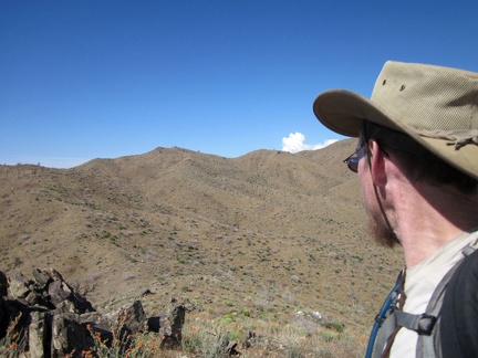 I look ahead and scope out my route along this part of the Providence Mountains ridge
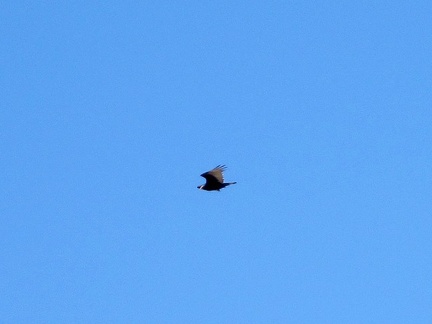 A turkey vulture, one of my favorite birds, flies overhead, reminding me that I'm alive
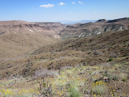 As I climb a bit higher above Beecher Canyon, I pass through a field of Desert marigolds
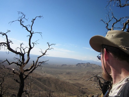 As I rise, I enjoy the views across Macedonia Canyon over to Cima Dome in the distance
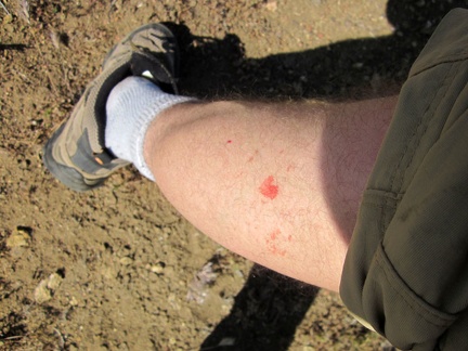 Ooops! A yucca stabs me as I walk past it, the result of sloppy hiking!
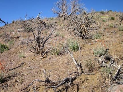 Atop the steep hill I'm climbing is a piece of old range fence that I passed earlier today
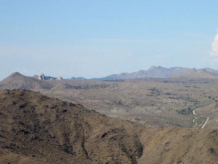 Zooming in really hard, I can see some of the rock turrets at Eagle Rocks, not far from tonight's home at Mid Hills campground
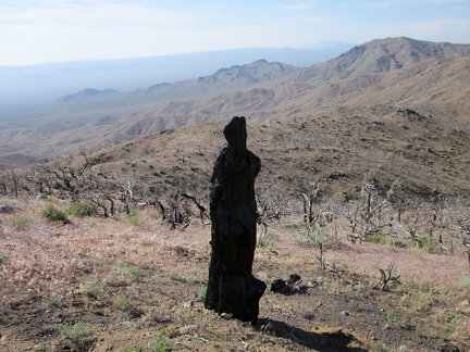 No, that's not a thin woman standing there taking in the views from the Providence Mountains...
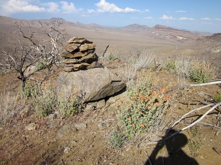 I stumble across another rock cairn on my way back down to the Bluejay Mine area
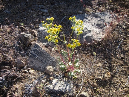 On the descent to Bluejay Mine, I run into a patch of Groundsel flowers
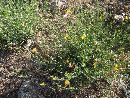 Another flowering plant I notice on the way down to Bluejay Mine is Rock pea (Lotus rigidus)
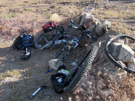 I arrive back at my bike by the old Winkler's Cabin site by Bluejay Mine and find that it has a flat tire
 My flat tire fixed, I start riding down Bluejay Mine Road on the way back to Mid Hills campground
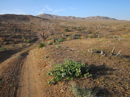 Bluejay Mine Road improves as it rolls downward, a most excellent mountain-biking road
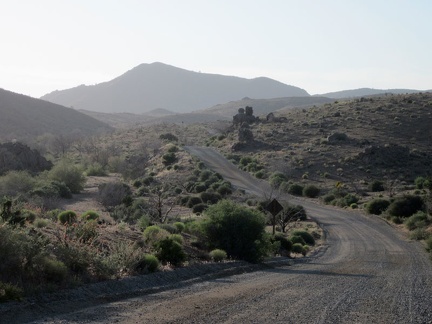 I ride up Wild Horse Canyon Road toward Columbia Mountain, just like last night, as the sun starts to dip behind the hills
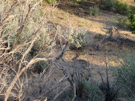 A rabbit darts across Wild Horse Canyon Road and then stands still near the brush
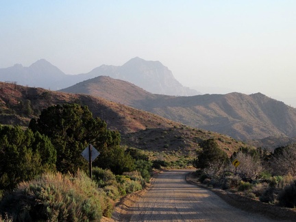 As I climb Wild Horse Canyon Road, I turn back for a look at the Providence Mountains peaks before they disappear
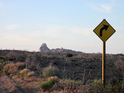 I know I'm getting close to home when I ride past the right-turn sign on Wild Horse Canyon Road
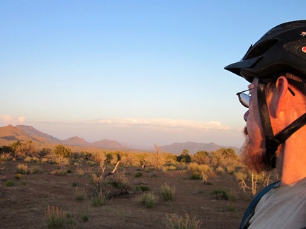 A sunset ride up Wild Horse Canyon Road isn't complete without a glance over to Twin Buttes and Table Mountain
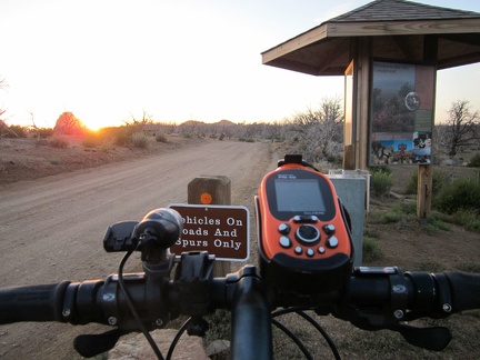 I'm back at the Mid Hills campground entry kiosk at sunset, perfect timing!
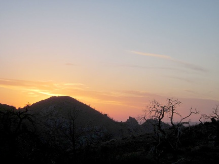 The sun goes down at nearly-empty Mid Hills campground and I meet my new neighbors, Heather and Sarah
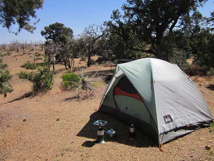 The morning sun at Mid Hills campground is warm, but it was really chilly overnight, one of the coldest nights of this trip
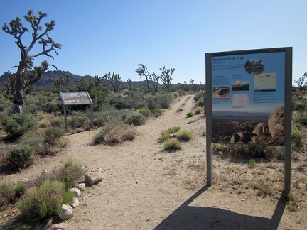 We drive in Sarah's minivan over to the Teutonia Peak trailhead from Mid Hills campground for our end-of-day hike
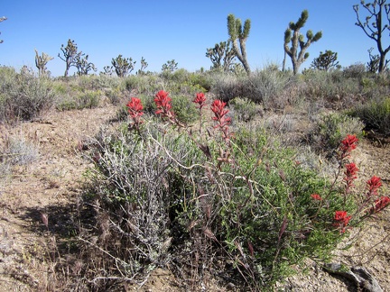 As we start up the Teutonia Peak Trail, we're greeted by some Indian paintbrush
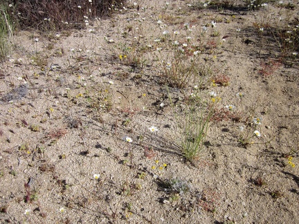 Some of the open areas between joshua trees are lightly carpeted with tiny white and yellow flowers
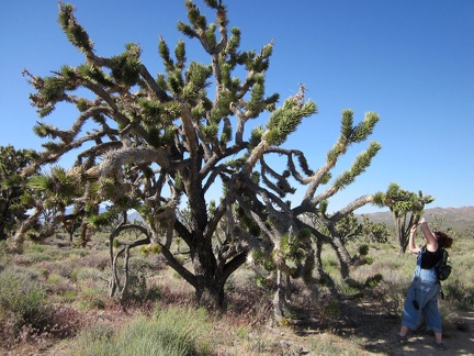 Heather stops to check out a joshua tree on Teutonia Peak Trail
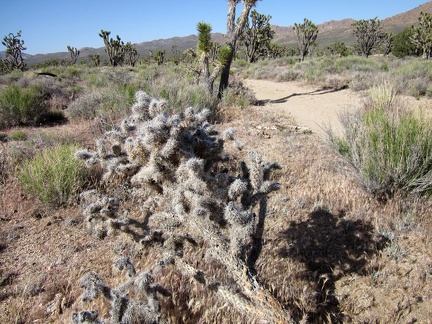 A soft, furry cactus (one of many) invites passers-by along the Teutonia Peak Trail
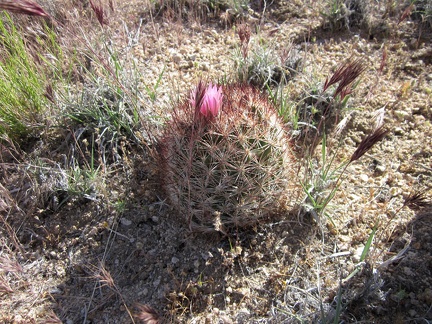 I spot another "pineapple cactus" near Teutonia Peak Trail
 Here's a colorful Hopsage (Grayia spinosa) along Teutonia Peak Trail
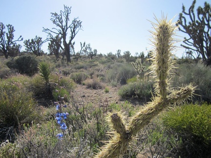 A blue delphinium adds a spike of colour in the joshua-tree forest
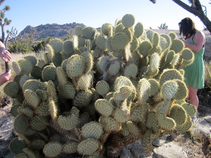 Sarah and Heather check out a really huge "pancake cactus"
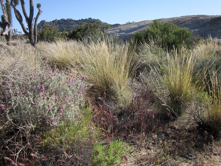 The Mojave Desert is most known for its spiny and tough plants, but graceful bunch grasses are also to be found
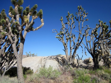 The area here below Teutonia Peak is also known for its big boulder outcrops
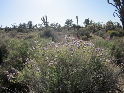 I've been seeing desert sages along this trail (Salvia dorrii) and this is one of the better ones
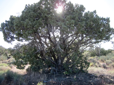 An elderly juniper tree picks up the late afternoon sun along Teutonia Peak Trail
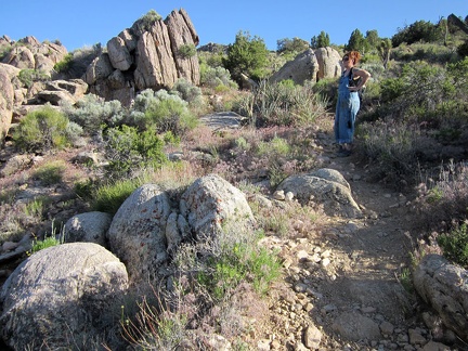 Heather pauses in the middle of the Teutonia Peak Trail to contemplate the awesomeness of the area
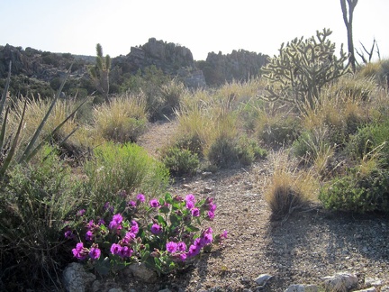 We start seeing the occasional Desert four o'clock bush with its intense magenta flowers
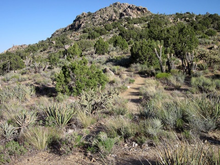 As the trail rises toward Teutonia Peak, we pass through a patch of junipers
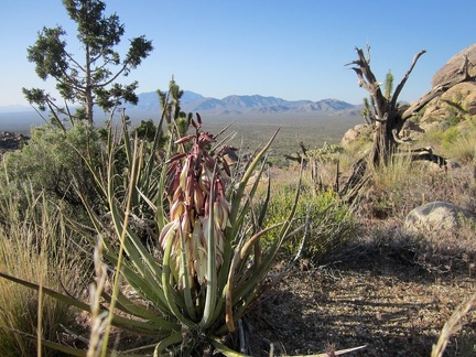 A Banana yucca sends out a fresh bouquet on the way up Teutonia Peak Trail
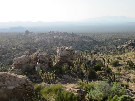 Sarah moseys around in the rock outcrops as we get close to the top of Teutonia Peak Trail
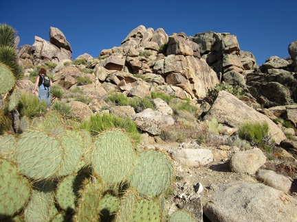 Heather climbs up the top of the Teutonia Peak Trail past another patch of "pancake cactus"
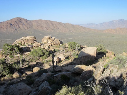 Near the top of Teutonia Peak Trail, we get a good view across to nearby Kessler Peak (at left)
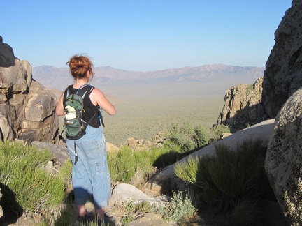 On Teutonia Peak, we linger and enjoy; Heather looks across the valley to the Mid Hills, where we're camping
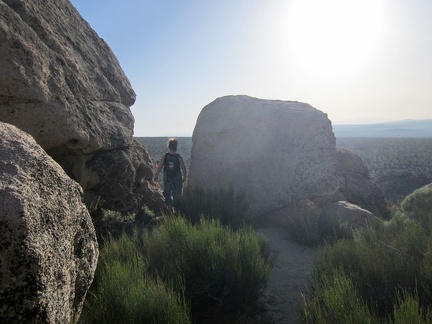 Heather walks between some of the boulders strewn about on Teutonia Peak
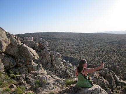 Sarah takes a break on Teutonia Peak, overlooking the subtle curve of Cima Dome
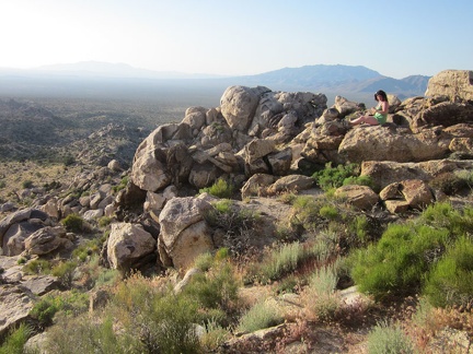 We're all taking photos of each other; Sarah sits on one of the Teutonia Peak ridges
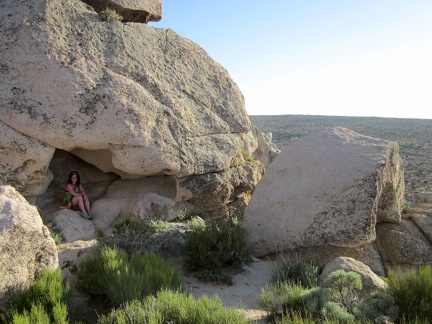 Sarah discovers a rock shelter at Teutonia Peak and tries it out
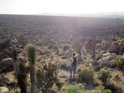 Heather stands on a Teutonia Peak "balcony" overlooking the Cima Dome curve
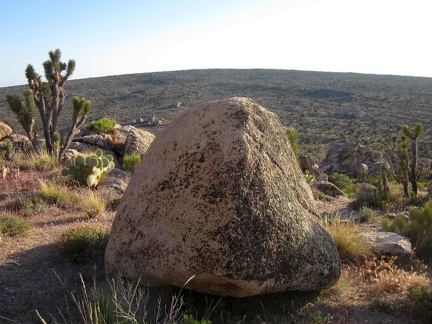 From Teutonia Peak are views over to the "summit" of Cima Dome
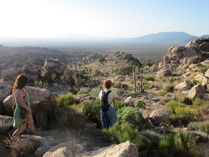 As we start our way back down from Teutonia Peak, Heather takes the lead