Home 7119

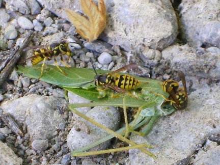 A few yellowjackets are still buzzing around the ground near my tent, feeding on this "leaf"
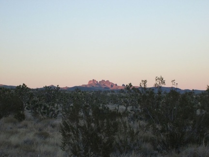 A lavender glow continues to illuminate the Castle Peaks for a few more minutes
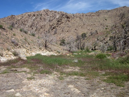 A little further down Butcher Knife Canyon, a green carpet covers the sandy ground
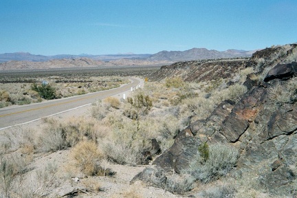 A little further up the road, I climb up the edge of one of the lava flows to get a better view of the area
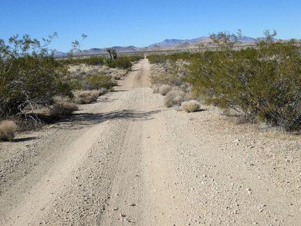 A long straight segment of the road waits for me ahead
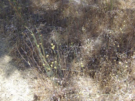 A yellow-flowered buckwheat-like plant.
 About 10 minutes later, I notice a hillside that might make for a good descent down to a wash
 After our visit to The Racetrack, we head over to the old Lost Burro Mine site
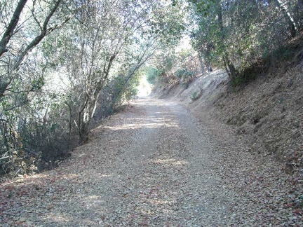 After spending a couple of hours back at my tent by the lake and having lunch...
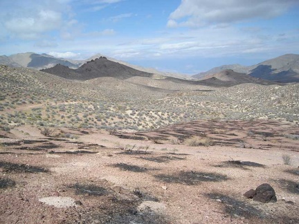 After the right fork, Gold Valley Road winds across the plateau, then drops down into Gold Valley
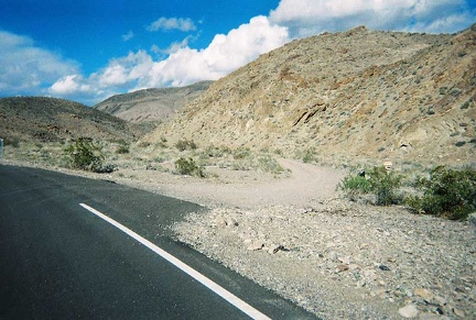 Ah! There it is, the gravel road toward Monarch Canyon (Chloride Cliff Road)
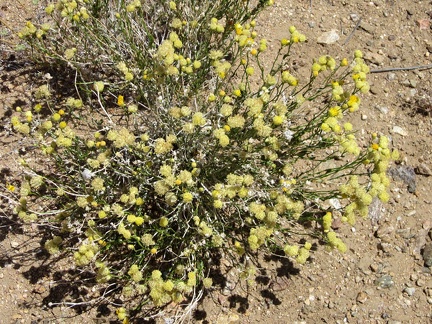 Along the Wee Thump Wilderness road, I see some yellow buckwheat-like flowers that I'm not familiar with
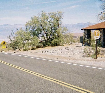 An old, unused stone park office sits across the road from the Emigrant rest stop
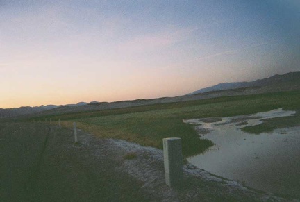 Any body of water out here in the dry desert, however small, beckons for attention
 As I rise, I enjoy the views across Macedonia Canyon over to Cima Dome in the distance
 As Ivanpah Road comes out of the hills, views into the valley open up
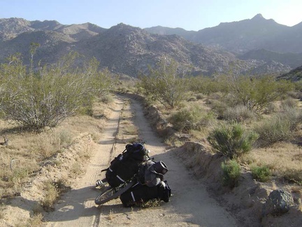 As the road gets closer to the mountains, it appears to be carved out of the land by a snow plow
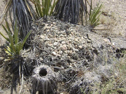 At the base of these yuccas is a pile of twigs covered with gravelly rock
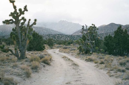 At the bottom of the remote, cold and eerie Keystone Canyon Road, I look for a spot to pitch my tent
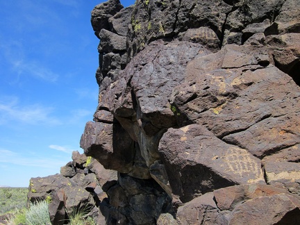 Back on a road, I ride for a while, then stash the bicycle in the brush and go for a hike to a rocky area
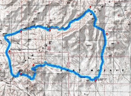 Bathtub Spring Peaks, New York Mountains hiking route
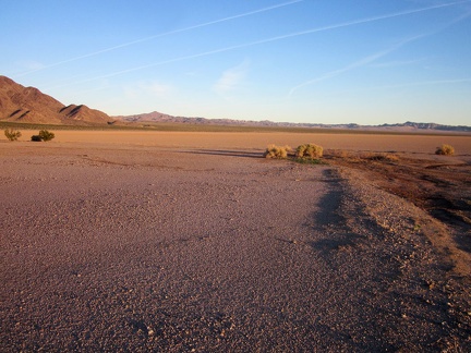 Broadwell Dry Lake at sunset
 Chamise chapparal on one of the knolls that lower Long Ridge Road bounces over.
 Climbing up toward the second summit of Wagon Road
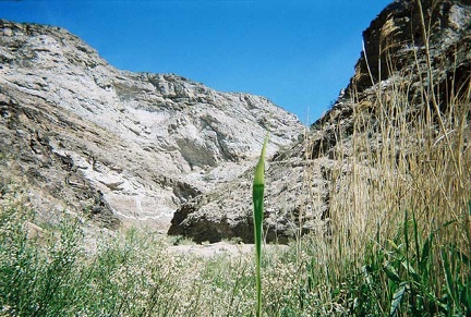 Coming out of the reeds at Monarch Spring for a moment to look back up-canyon
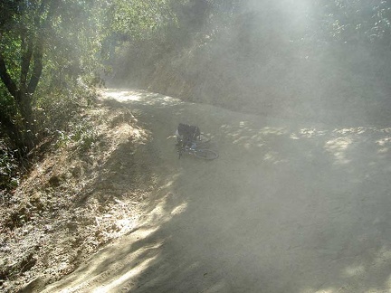 Crash location while descending Poverty Flat Road
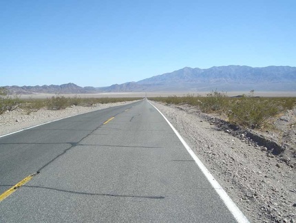 Crossing the floor of the Dumont Dunes valley
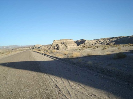 Eroded formations along Old Spanish Trail Highway
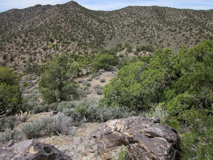 Finally, I reach a point from which the remainder of my route uphill is visible, following the rising ridge at centre-left
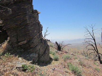 Hill 1624 in the Providence Mountains boasts a robust rock outcrop stacked in layers
 I arrive at a stream flowing down from Cabin Springs and follow it for a short distance
 I arrive at the Mid Hills campground entrance kiosk; I'm happy to be back for yet another visit
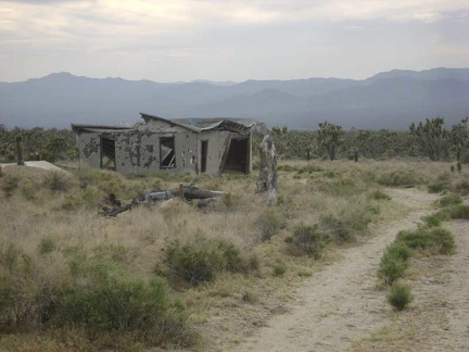 I arrive at the ruins of the old Thomas Place homestead
 I begin backtracking and look for Murphy Trail along the way, an alternate route up to Robison Mountain
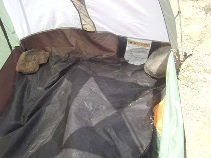 I begin dismantling the tent by removing the large rocks that I placed inside at the corners
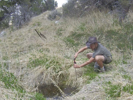 I cautiously approach the spring to test the yellow jackets, and then pump water to fill my Camelbak and water bottles
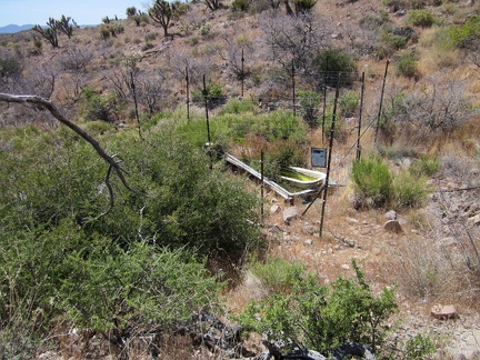 I check my GPS and climb over a small hill to reach Bathtub Spring; there it is, in a wire cage!
 I climb back up onto the Ivanpah railway grade after the wash-out and it's another slice through the rocks
 I climb up another hill on the way to Indian Spring and recognize the valley of junipers and joshua trees in front of me
 I climb up the hill a little, hoping to get around some of the brush along Piute Creek
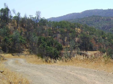 I coast down Coit Road to Mississippi Creek
 I cross over to another small drainage, then follow it uphill a short distance
 I don't spot another campsite nearby, so I return to the 10-ton bike back at the wash out
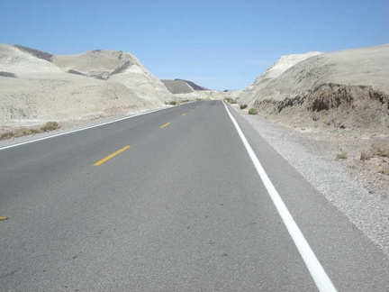 I enjoy passing through the badlands between Tecopa Hot Springs and Shoshone
 I enjoy the impending sunset as I slowly ride up Wild Horse Canyon Road
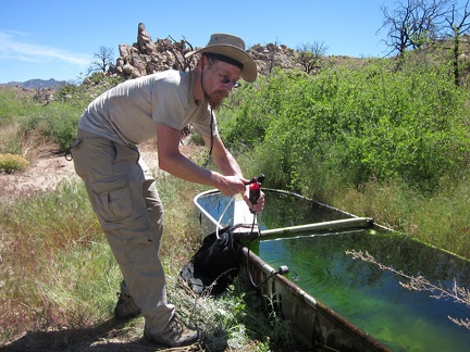 I get on with the business of filtering enough water for a couple of days from Bathtub Spring
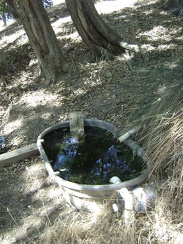 I go for a short walk up the trail from the campsite to Sierra View Spring to filter enough water to get me to Mississippi Lake.
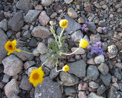 I haven't seen a lot of wildflowers in this area today, but here are a couple in the road to Pine Spring
 I hide in the shade of that oak at the bottom of Long Ridge Road, looking down at the gravel of Orestimba Creek Road.
 I hike up the old road to Tough Nut Mine, which hasn't been used by vehicles in many years and is slowly returning to nature
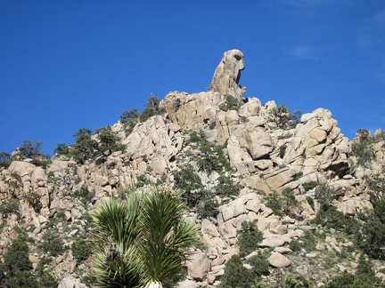 I keep looking at the hawk-head rock formation as I walk past the hills near Cabin Springs
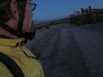 I leave the bliss of my Nipton tent cabin before sunrise for the 12-mile ride to Primm, purposefully, as if it were a work day
 I leave the heat of Stovepipe Wells and head up Highway 190 toward Emigrant Campground
 I make a stop at one of several junctions on the old Mojave Road, another decision point
 I make it up to the crest of Wild Horse Canyon Road and a few orange desert-mallow flowers say "hello"
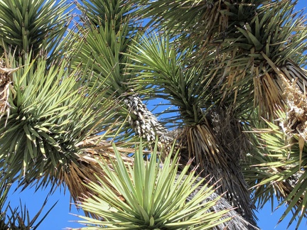 I notice bird activity near my tent and locate a nearly invisible bird's nest in an elbow of this joshua tree at centre-right
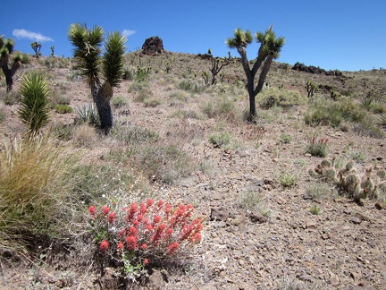 I pass a few brilliant Indian paintbrush plants as I further climb the hills above my tent
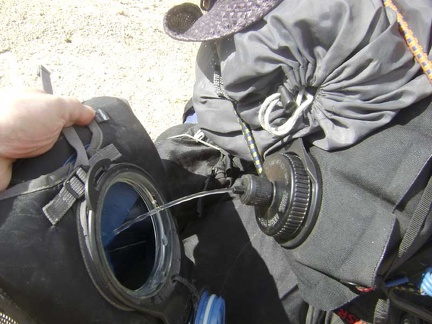 I pull off the road for a short break and to refill my Camelbak from my 10-litre water bag
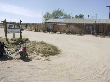 I reach the junction of the paved Kelso-Cima Road and stop in at the Cima Store
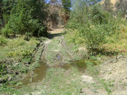 I reach this muddy area on Red Creek Road and figure that this must be water coming down the hill from Hatch Spring
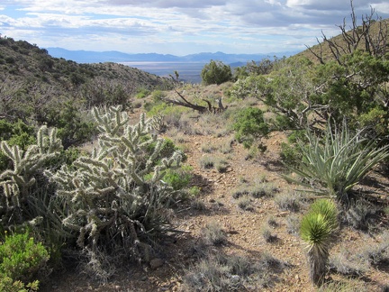 I reach this pass in the Castle Peaks and have an unexpected view to the north across the Ivanpah Valley
 I ride a couple hundred feet on pavement, then pull over into the Nipton parking lot to rent for tent cabin for the night
 I ride past one of the many cairns that mark the Mojave Road
 I ride up the road a little and stop again to look at the sculptural shadows of the trees on the next ridge (Wasno Ridge).
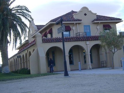 I spend two hours at Kelso Depot, longer than expected, chatting with staff and a couple of bicyclists on their way to Las Vegas
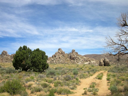 I start by walking up the road toward Howe Spring, spring #1 of 5 on today's hike
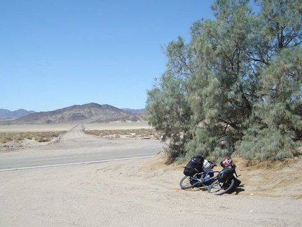 I stop for a quick break across from the road that crosses Silver Dry Lake (very dry right now)
 I stop for a Vietnamese-deer-jerky break in the Joshua tree forest along Hart Mine Rd
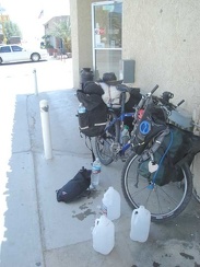 I visit the general store in Shoshone across the road from the Crowbar Café
 I walk back down to Cottonwood Spring to filter some water
 I walk down the fan on the south fork of Globe Mine Road, enjoying the sun behind the Marl Mountains
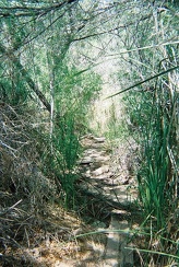 I walk down the short creek trail behind the China Ranch bakery and store
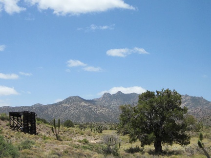 I walk over to that old headframe, or whatever it is, with the New York Mountains backdrop
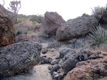 I walk up a boulder-strewn drainage area toward that pass in the Castle Peaks
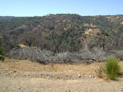 I wander around the junction of Coit Road and County Line Road and take in the fine views
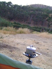 I'm boiling water for my backpacking meal tonight at dusk; usually I wait until after dark for some unknown reason
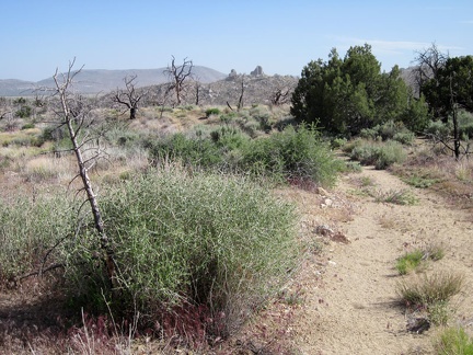 I'm officially at the bottom of the New York Mountains foothills now
 I'm packed up and ready to leave my Ivanpah Road campsite near Bathtub Spring
 I'm temped to try hiking up a slot in the rugged cliffs adjacent to the drainage above Willow Wash
 I've decided to call this The Lost Road, since I'm not exactly sure where it's leading me
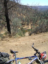 In no time at all, I find myself looking down at the lower part of Red Creek Road where I came from
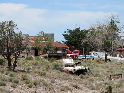 It might be interesting to count how many old cars and trucks sit on this Barnwell property!
 It's not only sand here: rocky patches on Death Valley Mine Road provide quite a contrast to the slippery sandy segments
 It's past 16h30 now, and I realize I have to climb up over the ridge and skip a side trip to Live Oak Spring
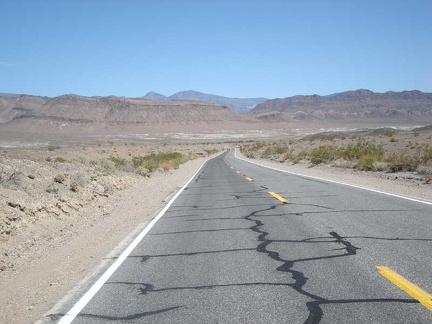 Looking back down Highway 178 to verify that I really am rising
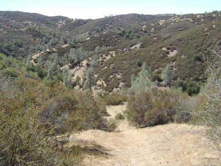 Looking back down the Canteen Trail to take in the view.
 Me, trying to figure out how to get through or around the thick brush that engulfs Monarch Spring
 My cross-country hiking ends temporarily when I hit the old closed road to Indian Spring, which serves as a nice trail
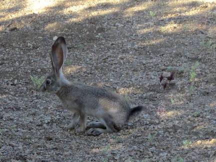 My final morning at Mid Hills campground, I hear a noise outside my tent, and guess who it is?
 My final morning at Paradise Lake, I'm up early in an attempt to get packed up before the hot sun becomes unbearable
 Near some patches of Fleabane (I think) is a bright yellow flower that I haven't seen before
 Oh, I like this: I get out of the sand for a short stretch
 Old Spanish Trail Highway cuts through the earth
 On South Campground Peak, Mid Hills Campground, I discover a couple of juniper trees that survived the 2005 brush fires here
 On the road out of beautiful Monarch Canyon
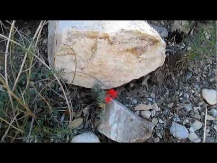 On the way back down Keystone Canyon, I notice a few Scarlet gilias blooming
 On the way back to my campsite at Mississippi Lake, I stop to take photos along County Line Road on the ridge top
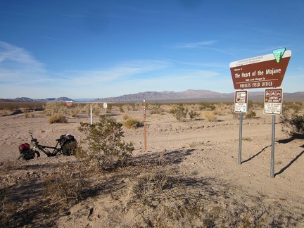 On the way down to Broadwell Dry Lake, I stop briefly at the junction of a powerline road that leads into the Bristol Mountains
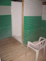 One of the shower stalls at Nipton
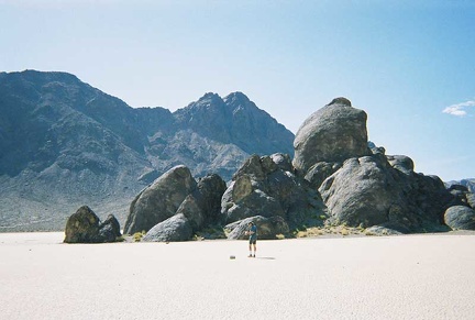 Phil walks out toward The Grandstand
 Rising out of the burned area at dusk, I look for somewhere decent to set up camp for the night
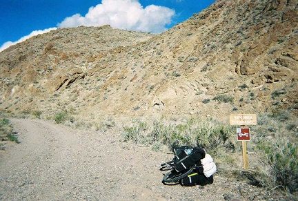 Signage at the entrance of the road toward Monarch Canyon (Chloride Cliff Road)
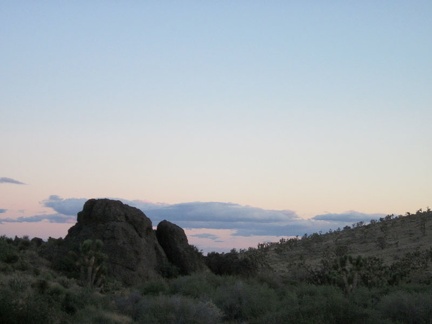 Since I'm between a couple of hills, I don't get to see a full sunset here at the end of Castle Peaks Road
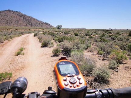 Since I'm in no rush today, I decide to take a short detour over to Government Holes, that big tree up the dirt road here
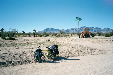 Street sign in the Mojave Desert at the junction of Ivanpah Road and New York Mountains Road
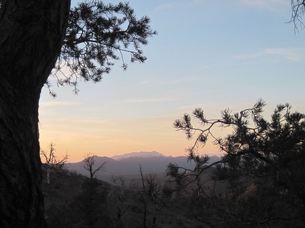 Sunset from Mid Hills campground through a pinyon pine; that should be the Kingston Range way over there
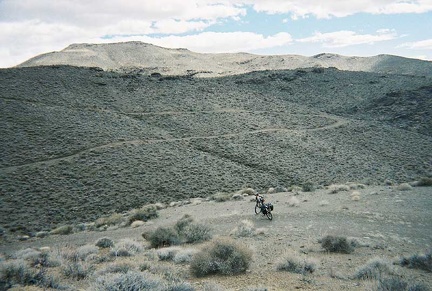 Switchbacks on the way up Chloride Cliff Road
 The first campsite has this beautiful tree for shade, but is too close to the paved road for my taste
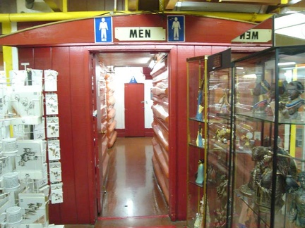 The men's washroom at Barstow Station
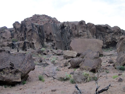 The rocks at the mouth of Saddle Horse Canyon are more interesting than further up the canyon
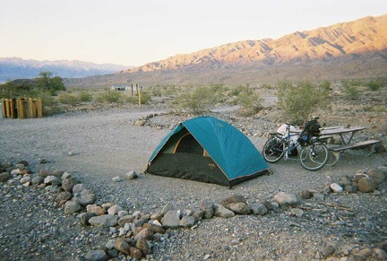 The tent is now set up at Emigrant Campground and the ten-ton bike relieved of its load
 There's a lot of rock in this area, and this juniper tree growing in a crack between rocks is striking
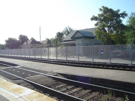 Waiting on the train platform at Stockton after the Amtrak bus ride from San Jose
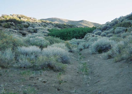 We arrive at Goldbelt Spring and its thicket of head-high wild roses (the dark green patch in the middle of the photo)
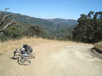 Whew, the worst is over as I reach the upper stretches of Poverty Flat Road, which aren't quite as steep.
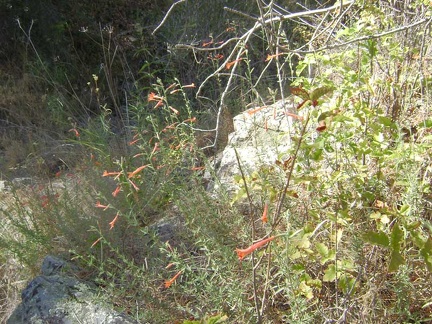 Wild California fuschias around a rocky outcrop opposite Bear Spring.
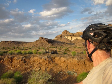 Wild Horse Canyon Road pops out of the canyon and onto higher ground, where I catch the beginning of sunset
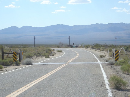 With relief, I'm back on the paved part of Ivanpah Road now and I'm letting the bike gain speed as I ride down the smooth hill
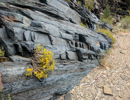 "Bench Canyon" in the White Mountains
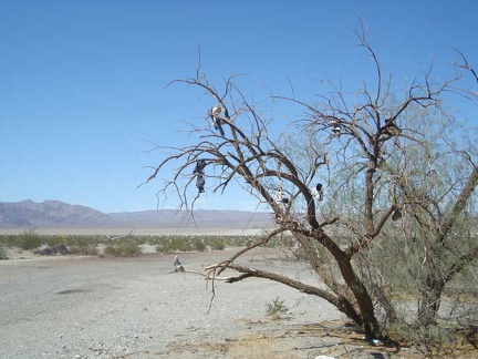 "Shoe tree" on Highway 127 across from Saratoga Springs Road
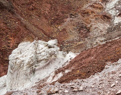 "The Scream"
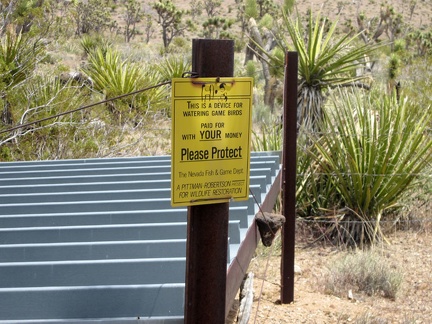 "This device for watering game birds was paid for with YOUR money"
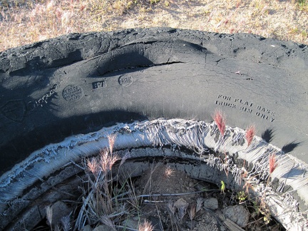 "For flat base truck rim only"
 "Painted-dot" rock
 "So far, so good," I say to myself as I stop to enjoy a desert mallow and the views; I keep climbing
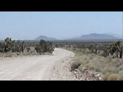 1.5 downhill miles on the old Mail Spring Road, then 3.5 miles down Ivanpah Rd into the Lanfair Valley
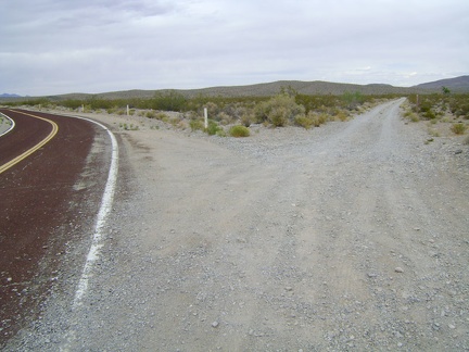 1.5 miles beyond Interstate 15, I reach the dirt road that will take me to Pachalka Spring and bear right
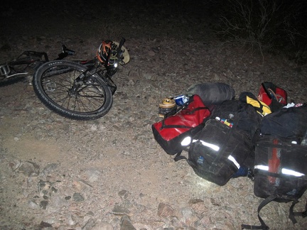 1/2 mile up the road to Old Dominion Mine, I start looking for a good campsite near another road that I also can't locate
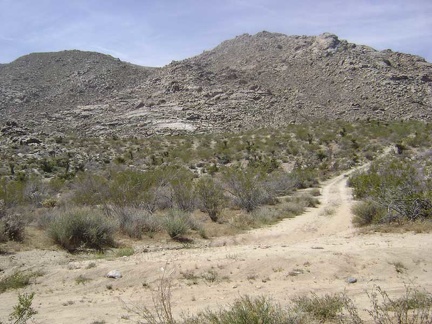 1/3 mile up the main road, I turn down the short road that dead-ends at Coyote Springs
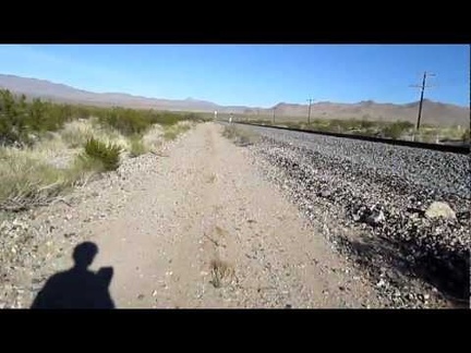 10 beautiful-but-bumpy miles of riding along the train tracks from Ivanpah Rd to Nipton
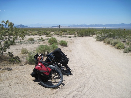 10 miles up Kelbaker Road out of Baker, I stop for a break at "the big curve," where the road turns almost 90 degrees
 10 minutes later, as I approach the base of the New York Mountains, lush juniper trees like the one on the left begin to appear
 10 minutes later, I'm almost at the next landmark, where Castle Peaks Road arrives at the slot in the rolling hills
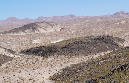 100 degrees F in the smoky haze
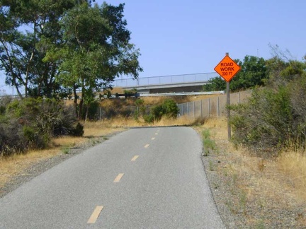 15 miles on Coyote Creek Trail, then another seven miles on nasty San José streets, and I'm home!
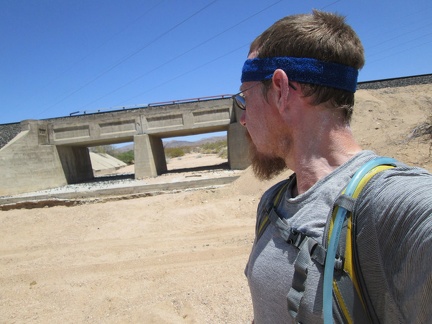 2.5 miles beyond Nipton, I'm feeling hot again and notice some potential shade as I cross under the power lines
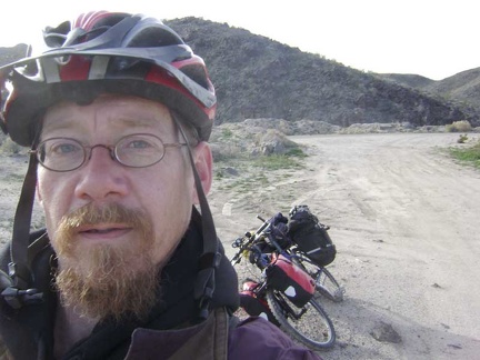 2.5 miles up Kelbaker Road, I make a brief stop at Black Tank Wash to remove my scarf and winter jacket
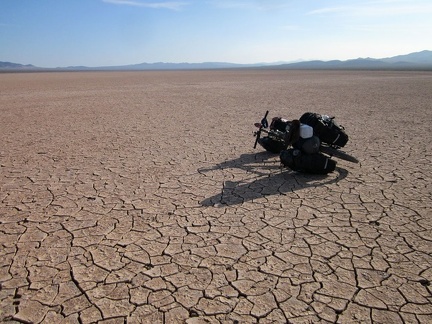 20 minutes later, I stop for another break further out on Broadwell Dry Lake
 20 minutes later, I'm around the bend on Kelbaker Road, with the Providence Mountains further and further behind me
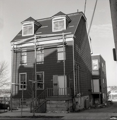 2013 Creighton Street (formerly 3 Creighton St), Halifax, 1982
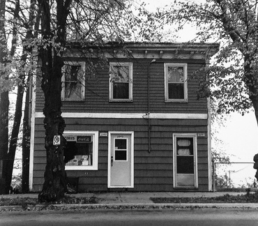 2093 Brunswick Street, Halifax, Nova Scotia, Fall 1982
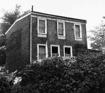 2111 Brunswick Court, Halifax, Nova Scotia, Fall 1982
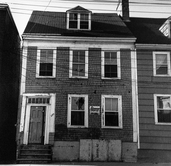 2120 Creighton Street, Halifax, Nova Scotia, Fall 1982
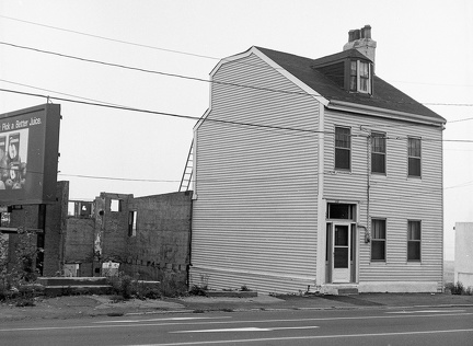 2195 Barrington Street, Halifax, Nova Scotia, 1982
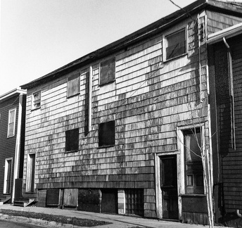 2369-73 Creighton Street, Halifax, Nova Scotia, Fall 1982
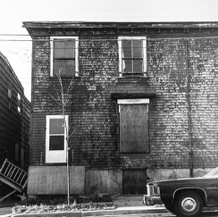 2370 Creighton Street, Halifax, Nova Scotia, Fall 1982
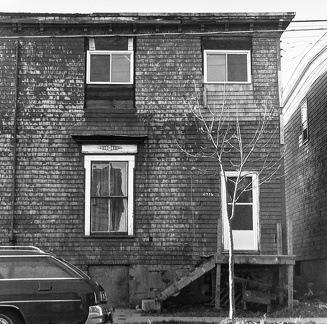 2376 Creighton Street, Halifax, Nova Scotia, Fall 1982
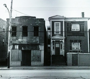 2387-80 Gottingen Street, Halifax, Nova Scotia, Fall 1982
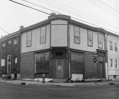 2390-92 Creighton Street, Halifax, Nova Scotia, Fall 1982
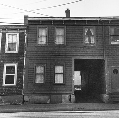 2404 Creighton Street, Halifax, Nova Scotia, Fall 1982
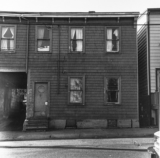 2406 Creighton Street, Halifax, Nova Scotia, Fall 1982
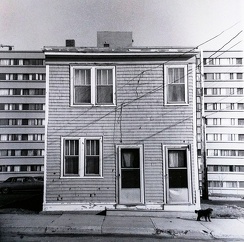 2447-49 Creighton Street, Halifax, Nova Scotia, Fall 1982
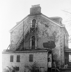 2507-11 Brunswick Street, Halifax, Nova Scotia, Fall 1982
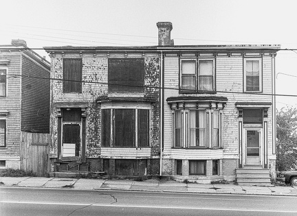 2521 and 2525 Barrington St, Halifax, 1982
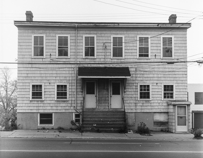 2565 Barrington Street, Halifax
 2577 Maynard Street (formerly 229 Maynard), Halifax, 1983
 2577 Maynard Street (formerly 229 Maynard), Halifax, 1983
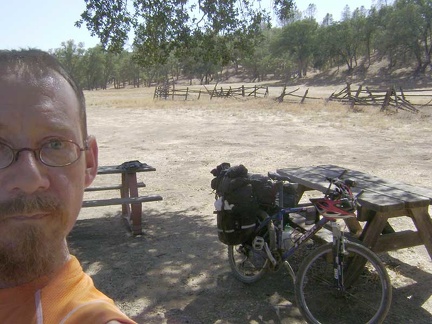 3/4 mile down the road, I stop at the old Orestimba Corral for a Clif-bar-and-water break at the semi-shady picnic tables.
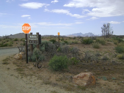 3/4 mile from campsite 22, I exit Mid Hills campground and turn right to start descending Wild Horse Canyon Road
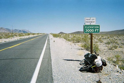 3000 feet, I'm almost at the top of my climb out of Death Valley
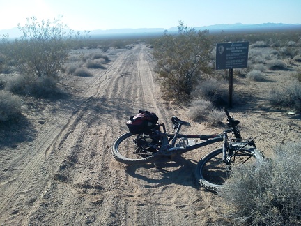 34 miles into today's ride, just before arriving at Fenner, I exit Mojave National Preserve for a while
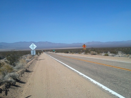 35 minutes later: after 10 miles of gliding downhill (and pedaling too), I arrive at the stop sign and turn left on Ivanpah Road
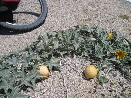 3865-coyote-melon
 5 miles later, it's time to cross I-40 again, this time by crossing under it
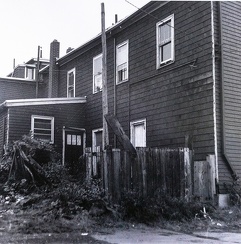 5524 Gerrish Street, Halifax, Nova Scotia (rear), Fall 1982 (now Buddy Daye Street)
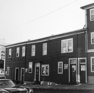 5524-32 Gerrish Street, Halifax, Nova Scotia, Fall 1982 (now Buddy Daye Street)
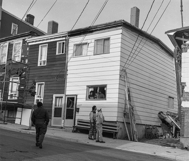 5527 Buddy Daye St, Halifax (formerly 5527 Gerrish Street)
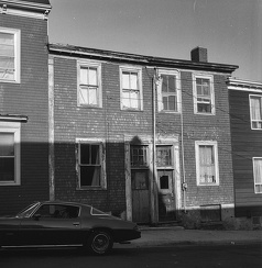 5531-5533 Buddy Daye St. (formerly 113-115 Gerrish St), Halifax, 1982
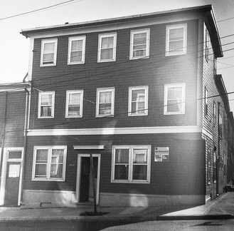 5534 Gerrish Street, Halifax, Nova Scotia, Fall 1982
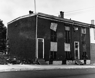 5559-61 Buddy Daye Street, Halifax, Nova Scotia, Fall 1982 (formerly Gerrish Street)
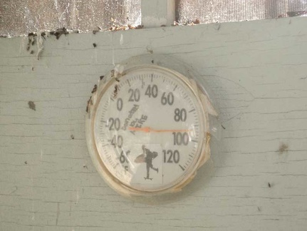 92 degrees in the shade, according to the thermometer on the side of the shower house.
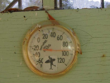 94 degrees down here in the shade where it feels "cool"
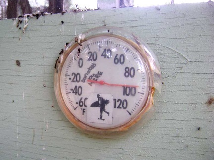 95 degrees in the shade at Pacheco Camp at 19h.
 A 24-hour donut shop on Barstow's Route 66 is closed due to the water contamination
 A Banana yucca sends out a fresh bouquet on the way up Teutonia Peak Trail
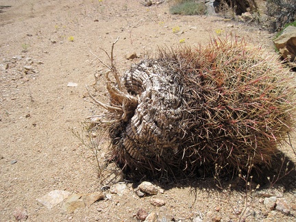 A barrel cactus has detached from its hillside garden and tumbled down into Juniper Spring wash
 A barrel-cactus garden at the mouth of "West Edgar Canyon #3," Providence Mountains
 A barren patch of earth catches my interest as I walk past
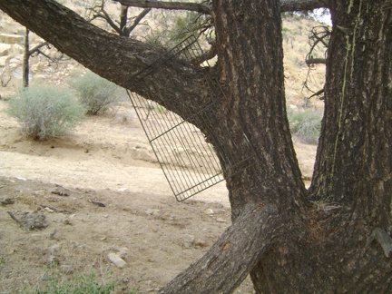 A BBQ grate hangs from that lone pinon pine in the wash
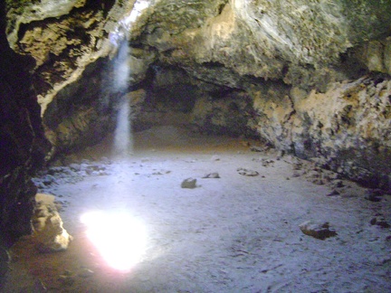 A beam of warm desert light shines down through the ceiling into the main room at the Lava Tube
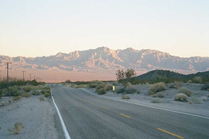 A beautiful sunset illuminates the Providence Mountains behind me as I climb Kelbaker Road out of Kelso Valley toward Baker
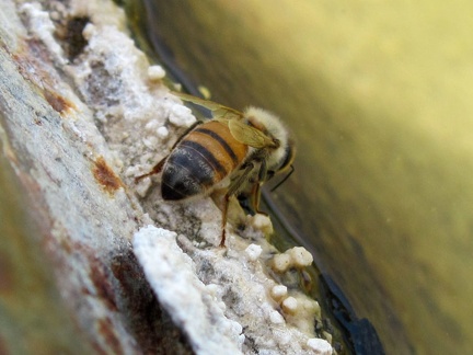 A bee sits on the edge of the Indian Spring cistern, enjoying the water's edge
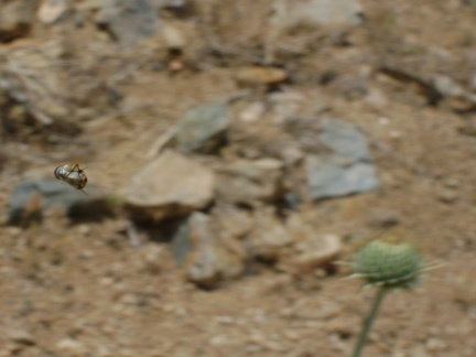 A bee tightens up and launches itself toward a thistle bloom
 A benign switchback on Willow Ridge Trail just beyond the log in the poison oak grove gives me a few more problems.
 A better view of that switchback in the previous photo.
 A big grass tuft (muhlenbergia, I think) sits in the dry creek bed.
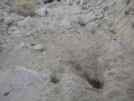 A big hole dug by an animal in a quest for water
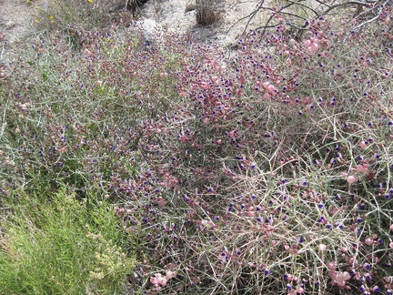 A big patch of paperbag bush (Salazaria mexicana) in the wash leading into the Kelso Mountains
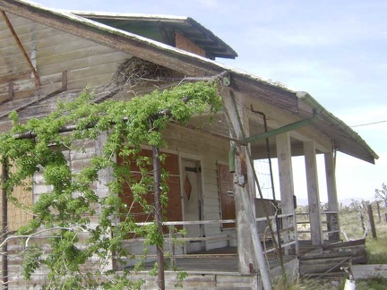 A big raven's nest sits in the eaves of the main house at Death Valley Mine
 A big sage is sprouting some fresh-looking growth
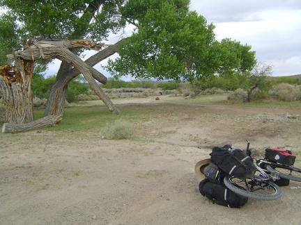 A big tree, partly broken, near the old Valley Wells town site
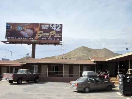 A billboard next to the Searchlight motel advertises a "luxury" motel elsewhere
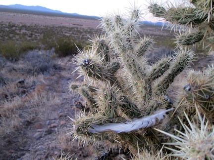 A bird feather is stuck in this cholla cactus
 A bird flies past and lands in this cholla cactus
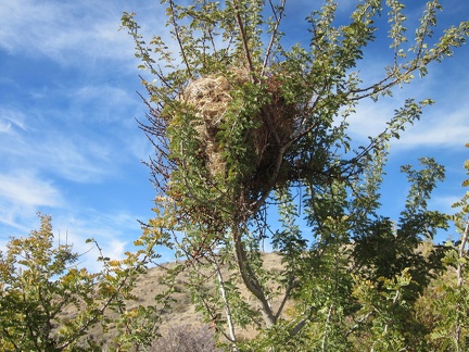 A bird's nest in a catclaw bush in Kelso Dunes Wilderness
 A bit above Hell's Gate, I turn back to see how much I've climbed since my rest stop there
 A bit beyond the OX Ranch site is a private, by-reservation-only campground called 'Mojave Desert Outpost'
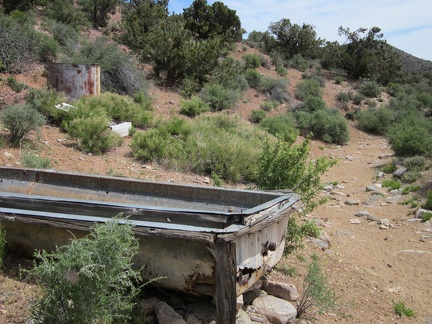 A bit beyond the Pine Spring corral is an old water trough and a rusty water tank
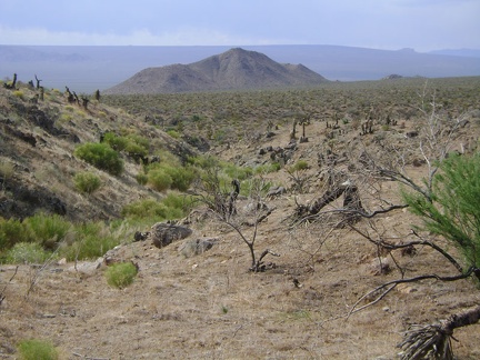 A bit disappointed at having discovered only dryness at Macedonia Spring, I walk back down the drainage
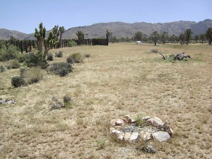 A bit down the fan sits a fire ring next to which I was going to set up camp last night until I noticed goathead thorns all over