Home 7119

 Willow Ridge Trail rises out of Los Cruzeros
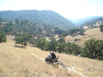 Heading up out of Los Cruzeros along the Willow Ridge Trail.
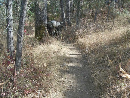 Poison oak woods on Willow Ridge Trail
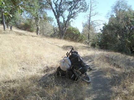 Willow Ridge Trail rises out of the poison oak forest to a more meadowy area.
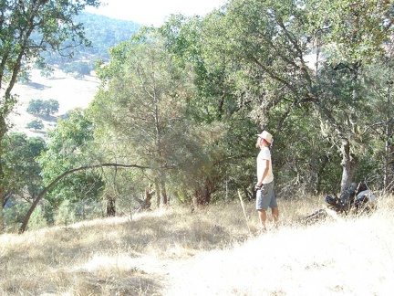 Break time on the lower-middle section of Willow Ridge Trail!
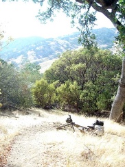 One of many steep sections on Willow Ridge Trail
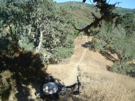 A rare flat stretch along Willlow Ridge Trail
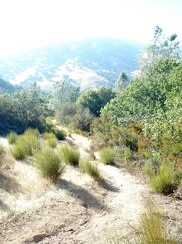 Looking back down another steep part of the trail.
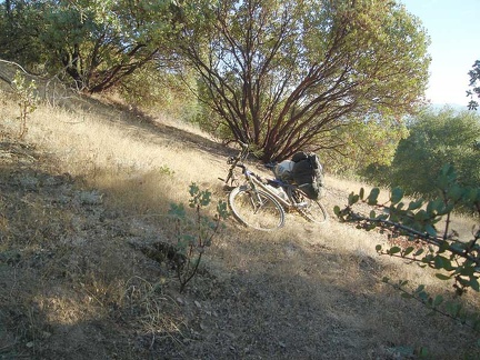 Big manzanita along the trail.
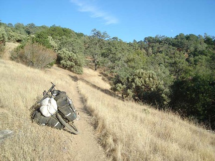 Approaching Willow Spring
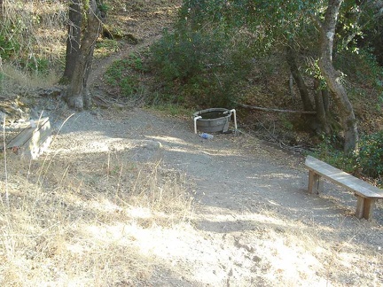 Willow Spring itself
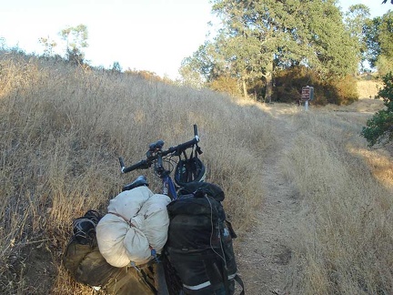 Top of the Willow Ridge Trail, where it meets Willow Ridge Road, also called "roller coaster ridge"
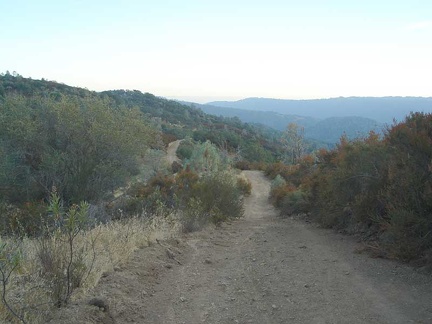 Up on the ridge finally on Willow Springs Road.
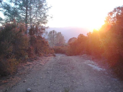 Sunset approaching along Willow Ridge Road, getting higher.
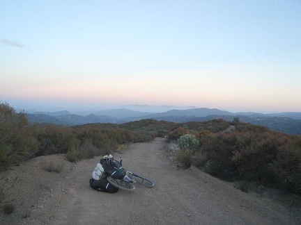 Up on top of it all on Willow Ridge Road.
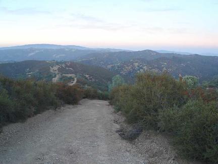 Willow Ridge Road, lots of steep ups and downs as it rides on the ridge top. I have to drag the bike up some of the steep hills
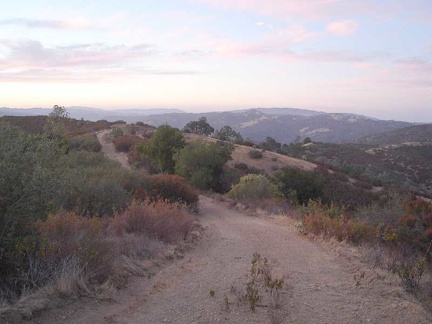 My last decent photo along Willow Ridge Road before it gets dark.
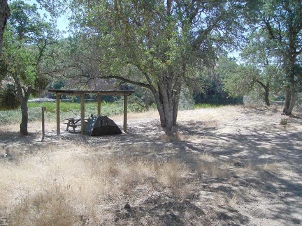 Morning at Mississippi Lake with a bit of shade thanks to the ramada.
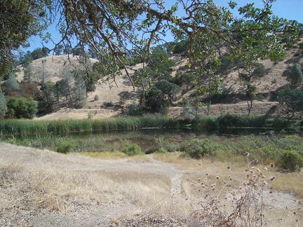 Mississippi Lake itself behind the tent.
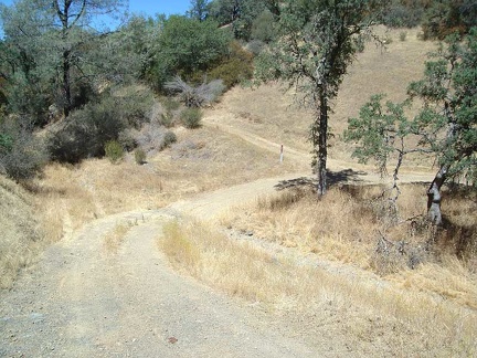 Bear Spring Road heads northward away from Mississippi Lake.
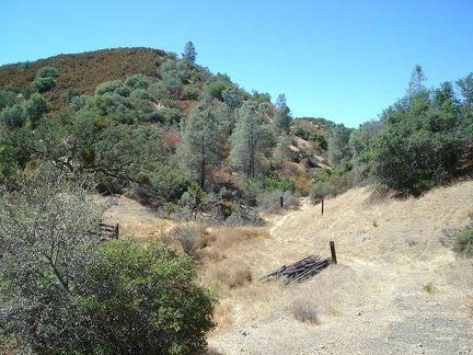 Bear Spring Road meanders through the grassland along the dry creek.
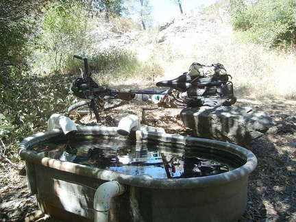 The tub at Bear Spring is full of nice cool water.
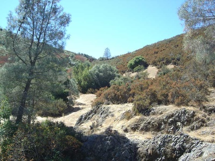 I go for a walk up one of the rocky hills by Bear Spring.
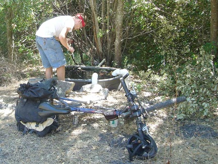 Pumping water from Bear Spring.
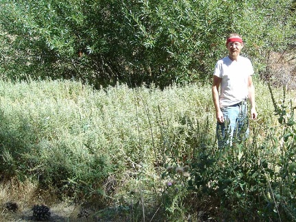 Standing in a patch of stachys albens (?)
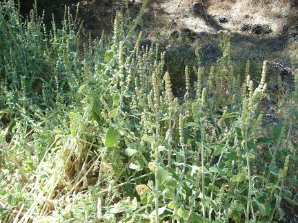 These stachys (?) plants fill the entire creek bed.
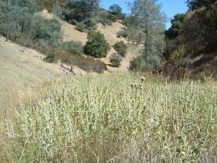 Close-up of the plants and their blossom stacks.
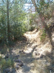 Big pine cones litter the trail near Bear Spring.
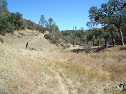 Sometimes, the "road" rises above the dry creek briefly and then rolls back down to meet it again.
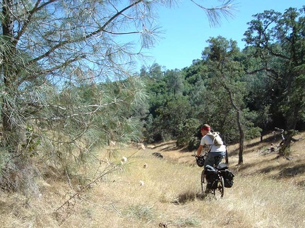 Riding along Bear Spring Road back toward Mississippi Lake.
 One last hummingbird-attracting bloom remains on this thistle, which I believe is the California native red thistle.
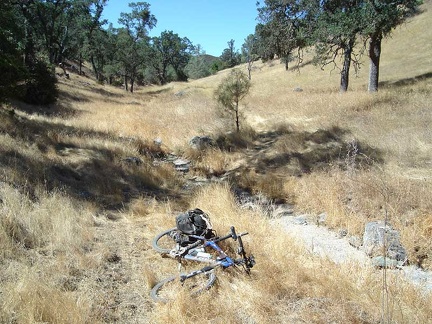 Bear Spring Road (it's a trail, really) crosses the dry creek several times.
 After spending a couple of hours back at my tent by the lake and having lunch...
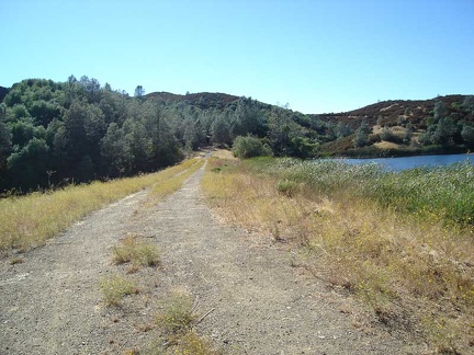 The dam crossing the south end of Mississippi Lake.
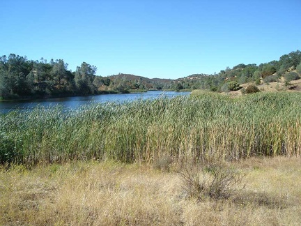 View north up Mississippi Lake from the dam at the lake's south end.
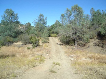 The road rises up away from the lake toward County Line Road and Board Spring.
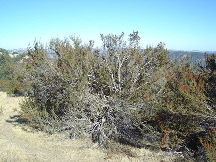 Elderly chamise bush along County Line Road.
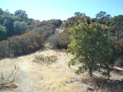 I walk down the Hartman Trail a few hundred feet and look back up toward County Line Road.
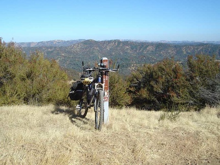 Bike standing on the edge of County Line Road at the trailhead of the Hartman Trail (closed to bikes)
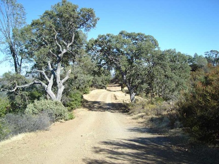 County Line Road is picturesque as it winds through chaparral and oak woodlands with amazing views off to the east
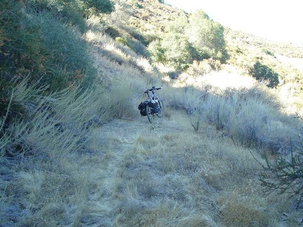 The short (1/3-mile-long) road to Board Spring narrows.
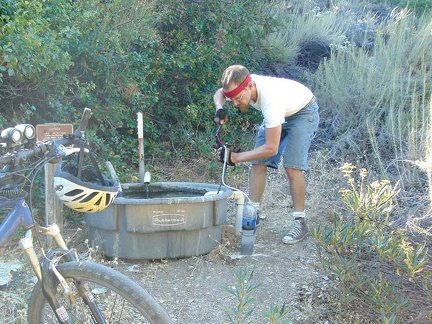 Pumping water at Board Spring.
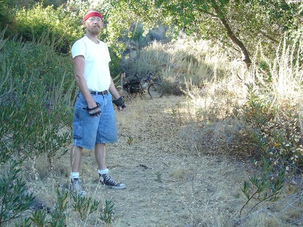 At the end of the road is the spring and I'm ready to start pumping!
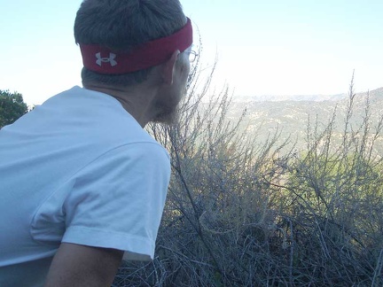 Enjoying the view from Board Spring out across the Orestimba Valley.
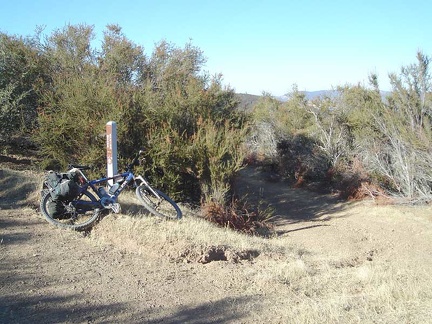 Board Spring Road veers off County Line Road into the brush in the middle of the photo on a slight downhill along the edge of the mountain.
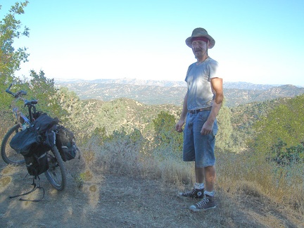 On the way back to my campsite at Mississippi Lake, I stop to take photos along County Line Road on the ridge top
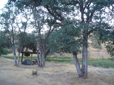 Back at my Mississippi Lake campsite under the ramada and old oak trees for the evening.
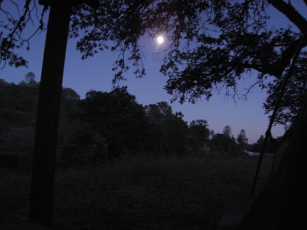 Moonlight (almost a full moon) at Mississippi Lake.
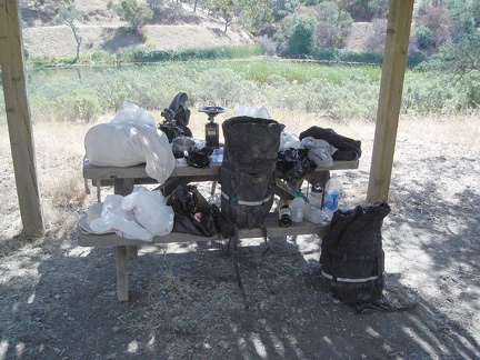 Packing up in the morning to leave Mississippi Lake.
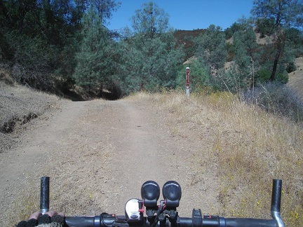 Leaving Mississippi Lake on the old road.
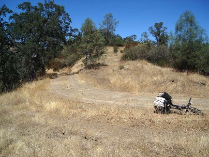 A slow and mostly gentle climb up from Mississippi Lake to County Line Road, which rides along the ridge.
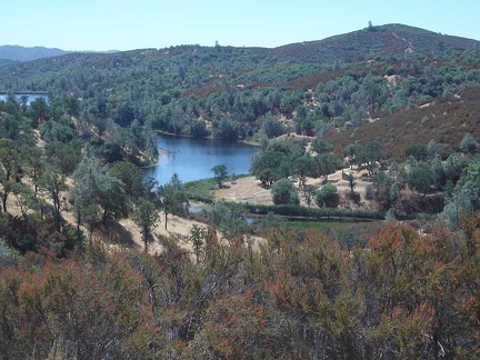 After a mile or so, I've made it up to ridge on County Line Rd, with great views looking back down to Mississippi Lake
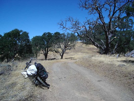 County Line Road climbs slowly as the ridge rises.
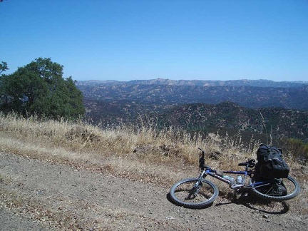 Some amazing views from County Line Road across the Orestimba Wilderness and the ridgetops beyond.
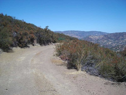 County Line Road slowly rises along the ridge.
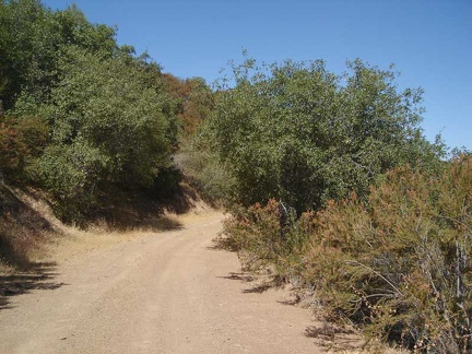 Heading toward the top of Bear Mountain, County Line Road passes through oaks and chamise chapparal.
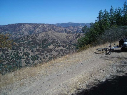 The views from County Line Road across Orestimba Valley are quite impressive along the upper parts of County Line Road.
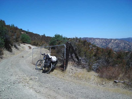 An old gate on County Line Road before the final rise where County Line Road veers westward and becomes Bear Mountain Road.
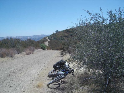 County Line Road rolls up and down along the ridge as it rises to reach the summit of Bear Mountain Road.
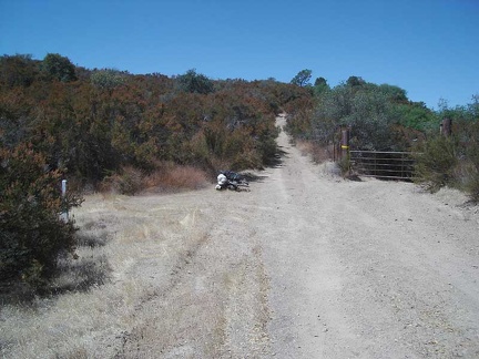 One final big hill at the top of County Line Road, which is easier for me to drag my bike up, rather than try to ride it.
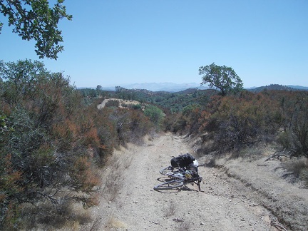 At the top of Bear Mountain Road.
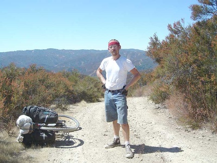 Bear Mountain Road drops off toward the valley below me.
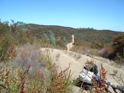 With much downhill to come, I look back up at the distance I've already dropped down.
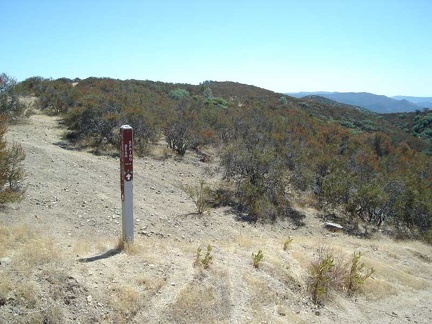 At the junction of the Bear Creek Trail: Bear Mountain Road heads downhill
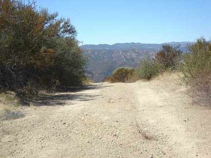 Bear Mountain Road drops off steeply several times on the way down.
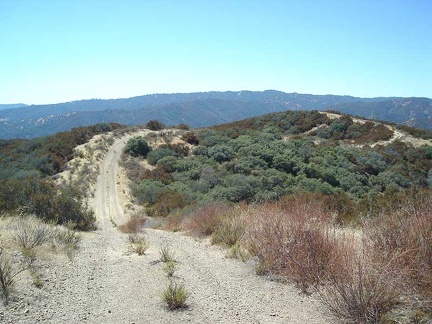 There are many uphills on the way down.
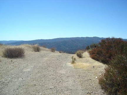 Another drop-off on Bear Mountain Road.
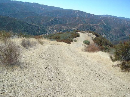 More rolling ups and downs on the way down.
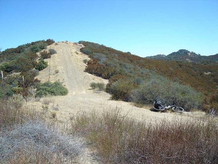 Looking back up one of the short steep hills that I just came down on Bear Mountain Road.
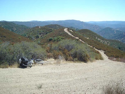 More ups on the way down.
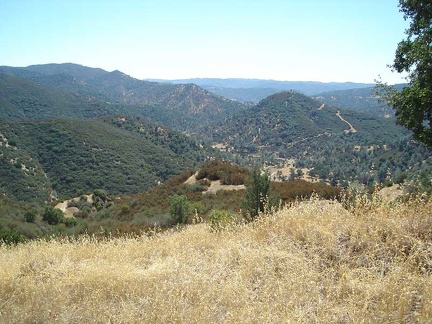 The bottom of the road in the canyon at Coyote Creek becomes visible.
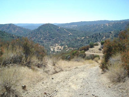 Getting closer to Coyote Creek at the bottom of Bear Mountain Road.
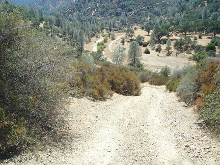 One steep final hill on Bear Mountain Road to the canyon bottom at Coyote Creek. This segment is steep...
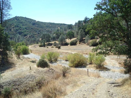 The bottom of Bear Mountain Road crosses Coyote Creek, which is dry at this time of year.
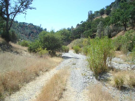 The road crosses Coyote Creek several times; here is another crossing.
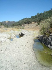 I approach my destination down here in the canyon, Arnold Horse Camp
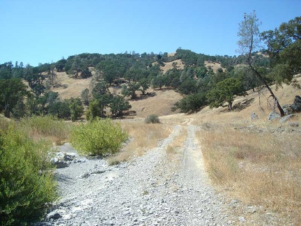 Another dry crossing of Coyote Creek as I approach Arnold Horse Camp.
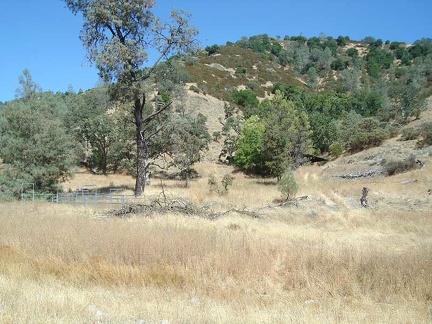 Arnold Horse Camp, my destination for the day, is hidden in the trees at the centre-right, up the road from the dry Coyote Creek
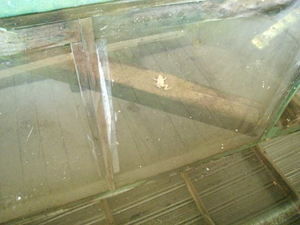 Toads living in the spring water at Arnold Horse Camp.
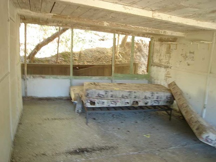 Inside the old cabin at Arnold Horse Camp is a bedroom equipped with a mattress, and probably hantavirus from the mouse dropping
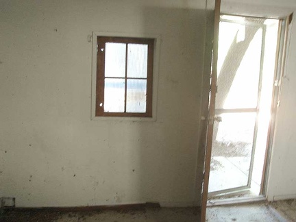 Living room in the cabin at Arnold Horse Camp
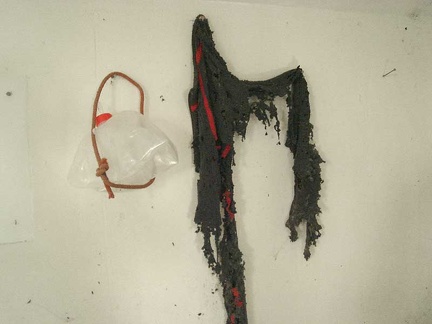 Decomposed scarf and water bottle decorate the living room wall.
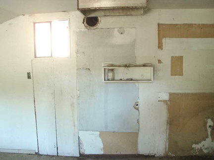 The kitchen at the cabin at Arnold Horse Camp
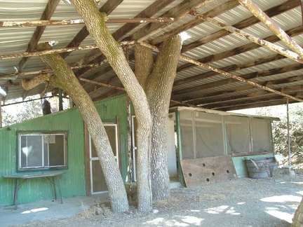 The cabin at Arnold Horse Camp sits in the shelter of a big tin roof
 Just a drip of water from the water spigot.
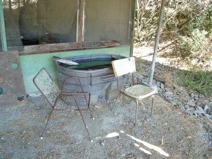 Nice cool water is piped from the spring into this big Rubbermaid tub. Two creaky chairs invite visitors, sort of.
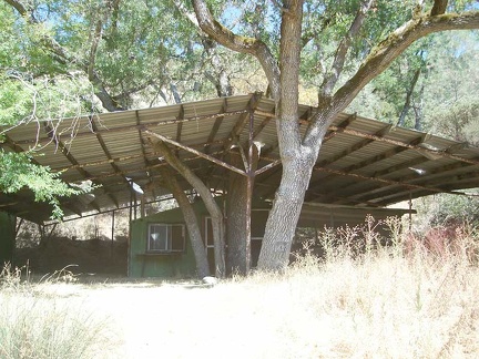 Approaching the cabin at Arnold Horse Camp.
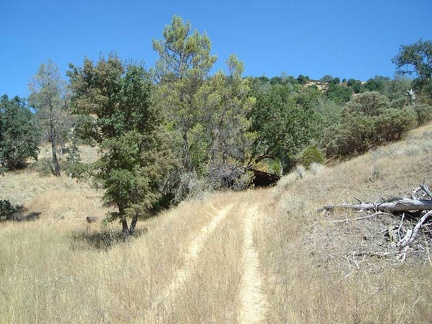 Walking the bike up the short road to Arnold Horse Camp.
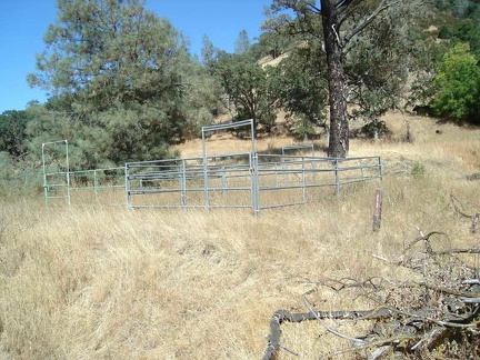 The old corral
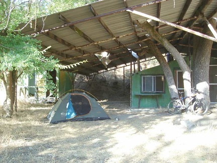 My tent is set up, home is ready for the night!
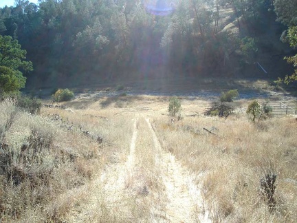 Starting a short hike down the Narrows Trail
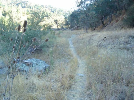 The Narrows Trail runs along the dry Coyote Creek.
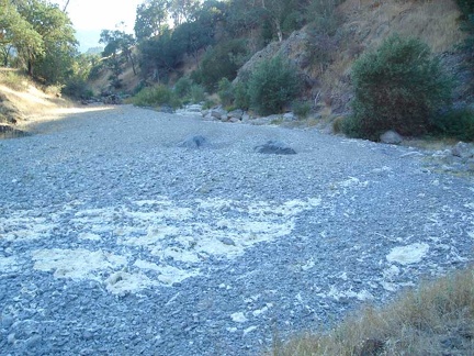 The dry creek bed of Coyote Creek can be tiring to walk on after a while with all its small rocks
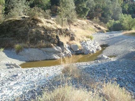 A small pool of water remains from last year's wet season.
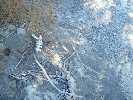 Animal bones along the creekbed.
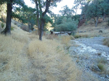 The trail follows the creek, but sometimes rises up the bordering hills a bit.
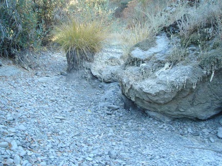 A big grass tuft (muhlenbergia, I think) sits in the dry creek bed.
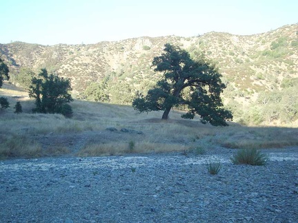 Old oaks along the dry Coyote Creek, some 1200 feet above San Jose and Silicon Valley
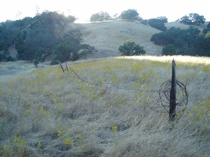 Old corral fence and tarweed
 A trail of thousands of ants stretches across the Narrows Trail
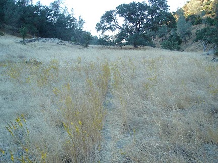 More tarweed
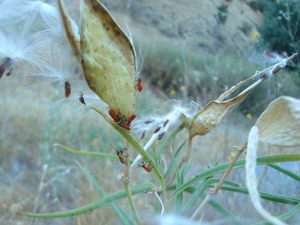 Red bugs
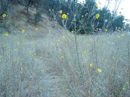 Madia elegans growing along the Narrows Trail
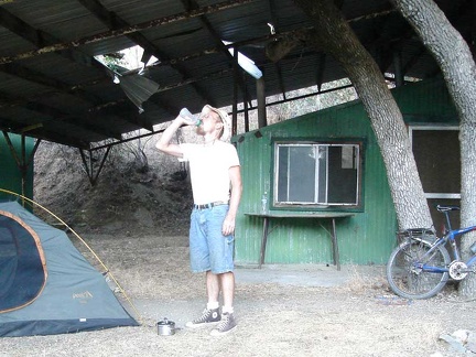 Back at Arnold Horse Camp, I guzzle lots more water.
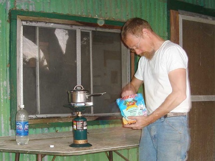 Time to prepare yet another add-boiling-water-to-bag camper's meal.
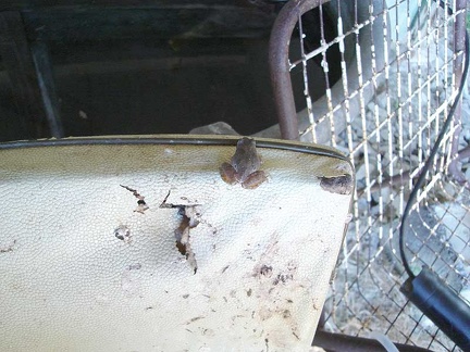 I sat on that old kitchen chair next to the spring tub and several toads jumped out of the cracks in the worn-out upholstery!
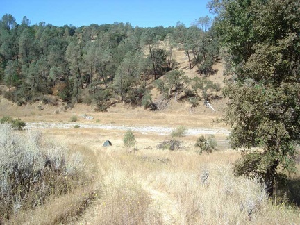 Morning near Arnold Horse camp. Last night at about 23h, I moved the tent and everything.
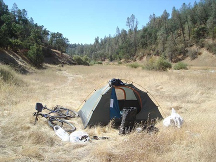 The tent in the canyon down by dry Coyote Creek.
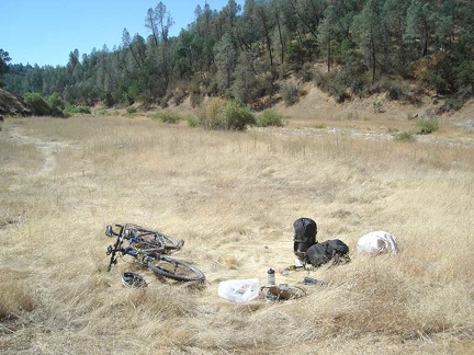 The tent dismantled, everything packed up and ready to mount on the bike for the return ride to downtown San Jose today.
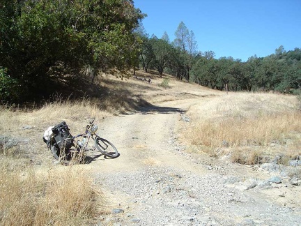 I walk the bike up the creek canyon to the bottom of Blue Ridge Road, where I begin the first climb of the day.
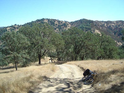 Rising slowly up Blue Ridge Road and looking back down toward the Coyote Creek canyon where I started a while ago.
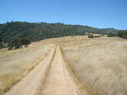 I finally make it up to the little plateau around 1800 feet (Arnold Horse Camp sits down below in the canyon at about 1250 feet)
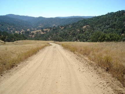 I turn on Poverty Flat Rd and begin heading out of the park the same way I came in.
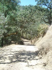 Entering the forested area, still above the canyon.
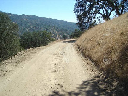 Some scenic drop-offs alongside the road into the canyon below.
 Snake track across the road near the junction of Jackass Trail.
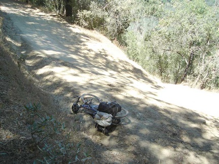 I tackle the tough trek up Poverty Flat Road toward park headquarters.
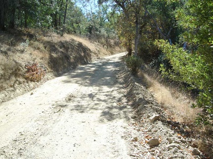 This hill on Poverty Flat Road always kills me when I climb it.
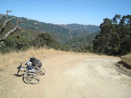 Whew, the worst is over as I reach the upper stretches of Poverty Flat Road, which aren't quite as steep.
 After finally reaching Henry Coe Park's visitor centre at about 2600 feet, I take a long break and fill up on water.
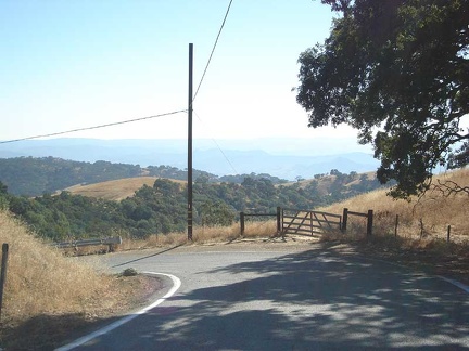 The downhill on Dunne Avenue begins.
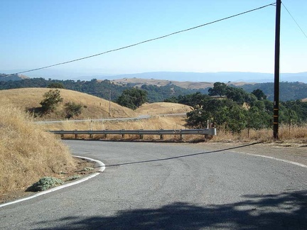 Dunne Avenue winds its way slowly downward.
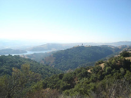 Some amazing views of the Anderson Lake area on the way down.
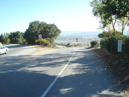 Heading down the lower stretches of Dunne Avenue into the Silicon Valley town of Morgan Hill.
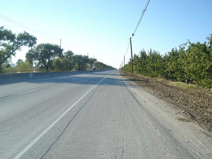 Orchards along Monterey Road near Morgan Hill
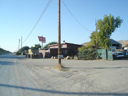 The old 15-mile stop restaurant, presumably 15 miles outside of downtown San Jose.
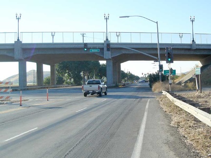 Approaching the recently built Bailey Road overpass across Monterey Road in the suburban sprawl of south San Jose
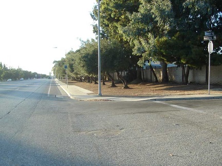 Entering San Jose's suburban sprawl along Monterey Road for real now, passing by a street called Grandwell Way.
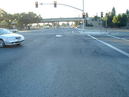 Monterey Road passes under the Blossom Hill Road underpass.
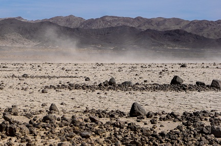 Slight dust storm
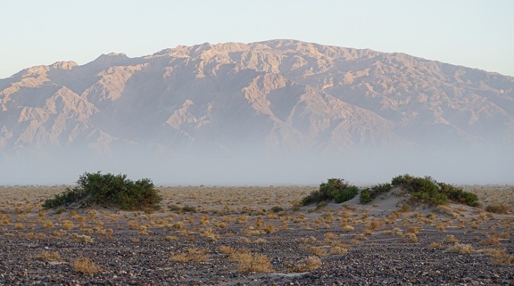 End-of-day haze at 108 degrees F (42 C)
 Sundown on the rocks
 Rock bubbles and crack
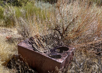 Desert brush takes over an old stove in the Death Valley National Park backcountry
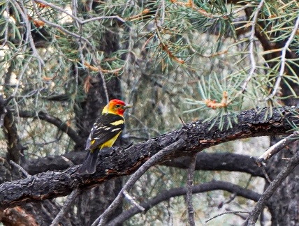 Western tanager
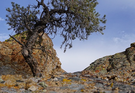 Arching pinyon pine in the highlands of Death Valley National Park.
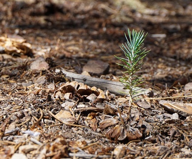 Future pinyon pine tree in the highlands of Death Valley National Park
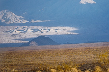 Lake Hill and Panamint Dunes at sunrise
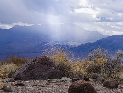 Sun shower
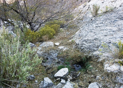 Impact—that tiny spring out in the Death Valley backcountry did contain a wee bit of life-giving water.
 The 10-ton's bike driver is also ready to go to Henry Coe.
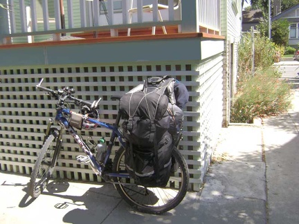 The 10-ton bike is ready to leave downtown San José to head for Henry Coe State Park.
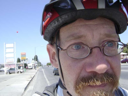 Riding down Monterey Road in south San José.
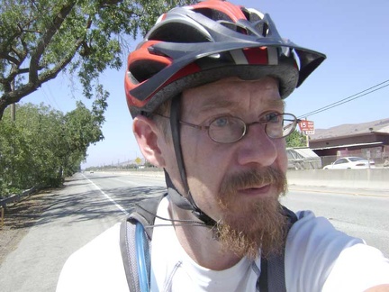 Still riding down Monterey Road, now about 15 miles from home, getting closer to the town of Morgan Hill.
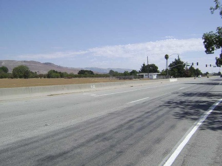 Henry Coe State Park's land becomes visible on the distant hilltops at the centre of the photo.
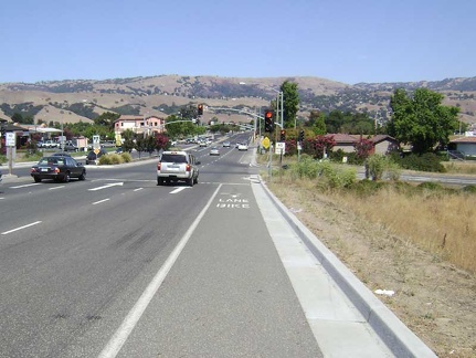 In the suburban town of Morgan Hill, I head up Dunne Avenue, which climbs to the top of the hills straight ahead.
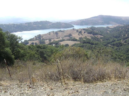 Further up Dunne Avenue, well above Anderson Reservoir, looking back down toward Silicon Valley, Morgan Hill and San José.
 Taking a short rest on Dunne Avenue in one of my favourite shady spots on the way to Henry Coe State Park.
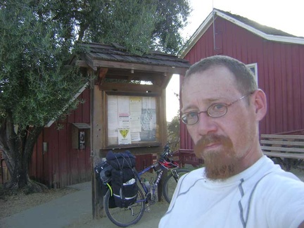 Somewhat tired from the climb up Dunne Avenue, especially the steep upper section of the road, I arrive at Henry Coe State Park
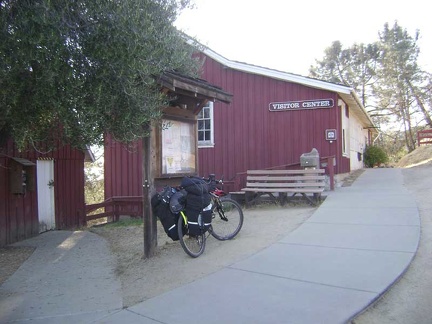 The 10-ton bike enjoys the rest while I sign in for eight nights of backpacking using the Park's self-registration system.
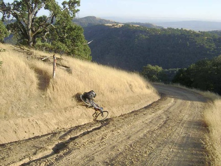 After climbing a short, steep segment of Hobbs Road, the 10-ton bike gets stuck on the drainage ditch that must be crossed.
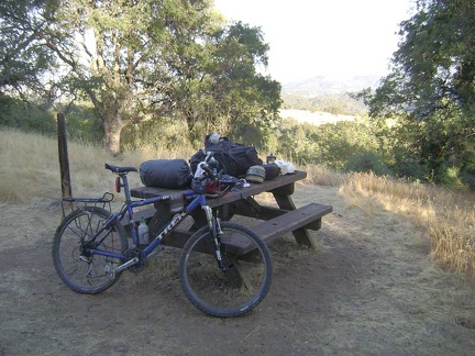 Arriving at the Sierra View campsite.
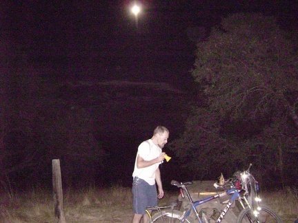 Getting ready to prepare an add-boiling-water-to-bag backpacking meal by moonlight at Sierra View campsite.
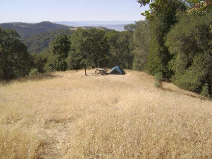 The Sierra View campsite in the morning.
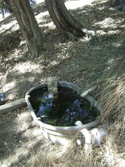 I go for a short walk up the trail from the campsite to Sierra View Spring to filter enough water to get me to Mississippi Lake.
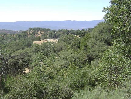 A view of the small car campground at Henry Coe State Park from the Sierra View campsite.
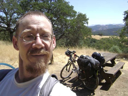 All packed up and ready to leave Sierra View; on toward Mississippi Lake!
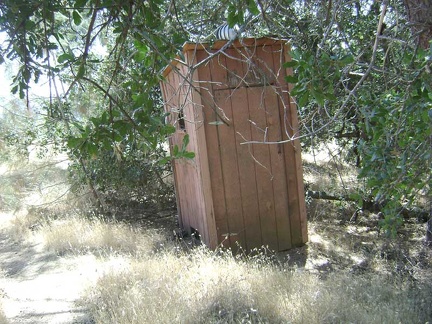 The old outhouse at Sierra View.
 Heading down the trail away from the Sierra View campsite.
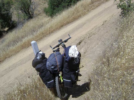 At the end of the Sierra View trail, the 10-ton bike has to cross that little drainage gulley where it got stuck last night.
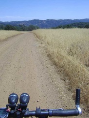 After descending that little steep piece of Hobbs Road, I ride down Manzanita Point Road across the meadow.
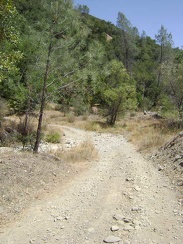 I just descended 1000 feet in 1.7 miles down the steep Poverty Flat Road to the bottom of the canyon.
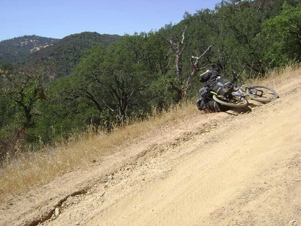 After the short flat stretch of dirt road at the bottom of the canyon that is Poverty Flat, it's time to climb out of the canyon
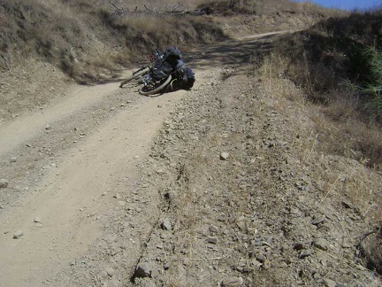 I'm just about to reach the high point of this part of Poverty Flat Road, near the junction of the Jackass Trail.
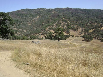 I finally meet the junction of Poverty Flat Road and Mahoney Meadows Road, and begin a short, fun, and steep downhill.
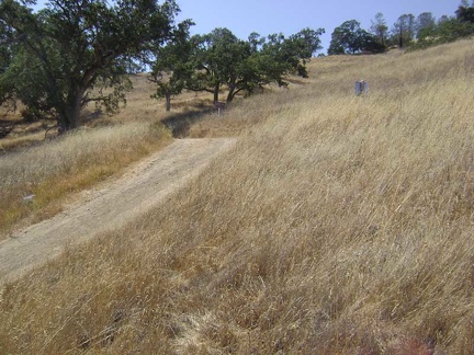 The beginning of the hill on Mahoney Meadows Road that I'm about to descend.
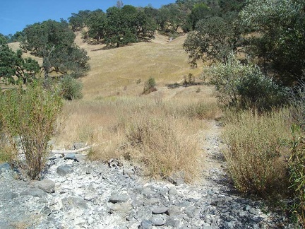
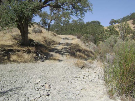 Well, that short downhill was fun! At the bottom of the hill, I reach Los Cruzeros and take a break.
 I begin the dreaded climb up the Willow Ridge Trail that will take me to the top of Willow Ridge above Mississippi Lake.
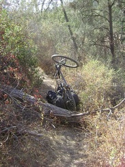 As Willow Ridge Trail rises, it passes through a brushy area with pretty red-leaved poison oak reaching out into the trail.
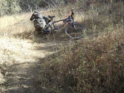 A benign switchback on Willow Ridge Trail just beyond the log in the poison oak grove gives me a few more problems.
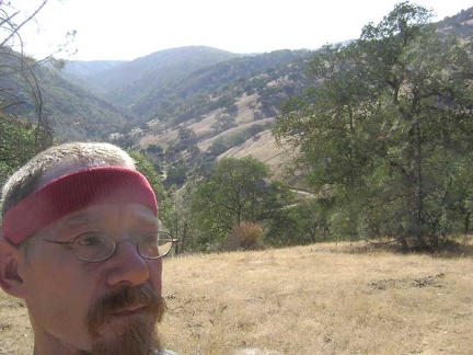 Phew, Willow Ridge Trail pops out of the poison oak grove and crosses an open area where there's a bit of a breeze.
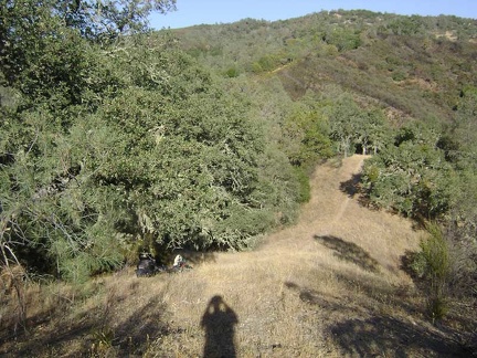 A little higher up on Willow Ridge Trail is a short level stretch that lasts for about a tenth of a mile.
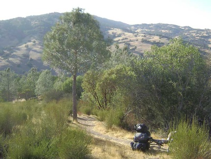 The same resting location as in the previous photo, but looking back down Willow Ridge Trail.
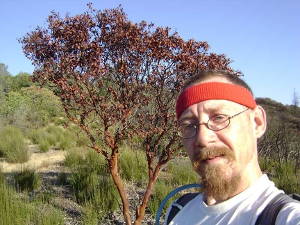 This manzanita is all pretty and red in the late-afternoon sun and takes my mind off the pain of climbing this hill.
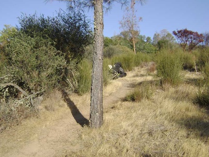 My next break spot, a little higher again up Willow Ridge Trail, eating yet another Clif bar, drinking yet more water.
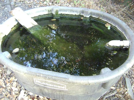 I finally make it to Willow Ridge Spring, which means that I'm close to the top and the hardest part is over. Sort of.
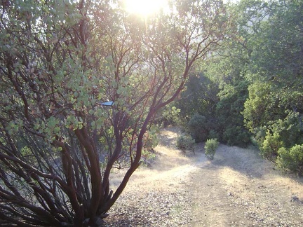 The "dreaded steep part" where I must remove my heavy saddlebags from the bike and walk them up the hill separately.
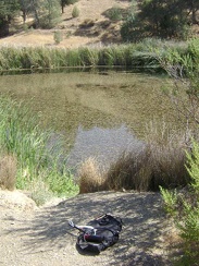 Time to filter some drinking water from Mississippi Lake.
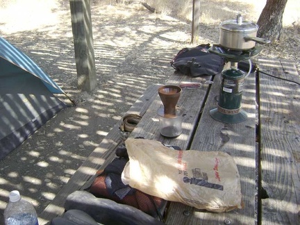 Making late-morning coffee at the picnic table at Mississippi Lake.
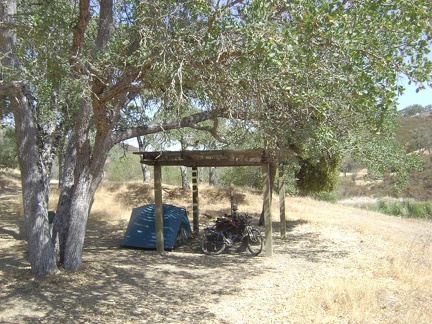 View of my Mississippi Lake campsite.
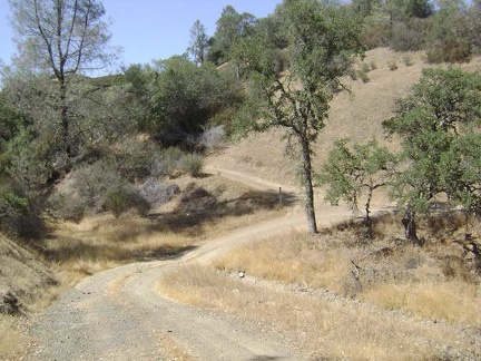 Heading up the road away from Mississippi Lake (this is actually still part of Willow Ridge Road)
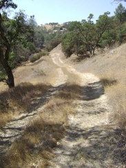 Starting up Bear Spring Road.
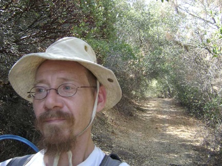 Catching some shade on Bear Spring Road (much of the road is exposed to the sun and not shady at all).
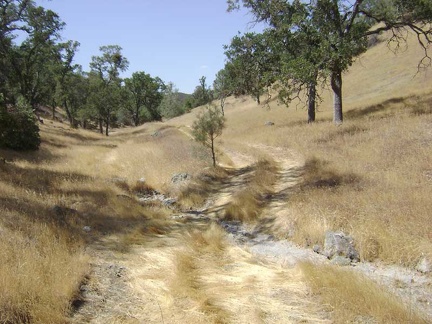 A dry creek crossing on Bear Spring Road.
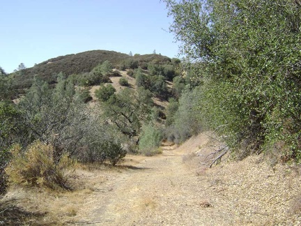 Bear Spring Road, getting closer to Bear Spring
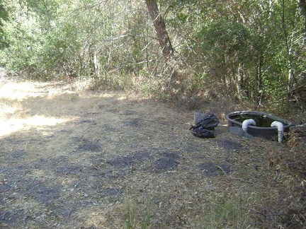 Arriving at Bear Spring.
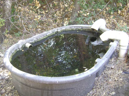 Close-up of Bear Spring.
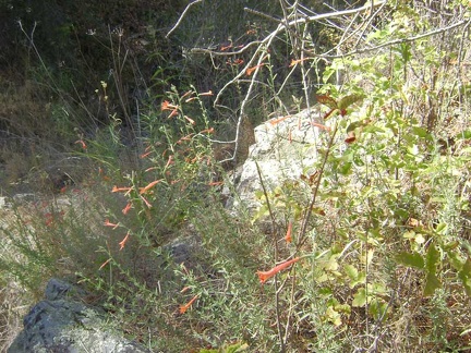 Wild California fuschias around a rocky outcrop opposite Bear Spring.
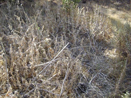 Stachys albens (hedgenettle) in the creek, now dormant and waiting for the fall rains.
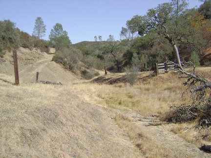 Old fence along Bear Spring Road.
 Old concrete cistern along Bear Spring Road.
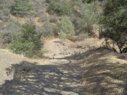 Bear Spring Road drops back down to the level of the dry creek after a short rise.
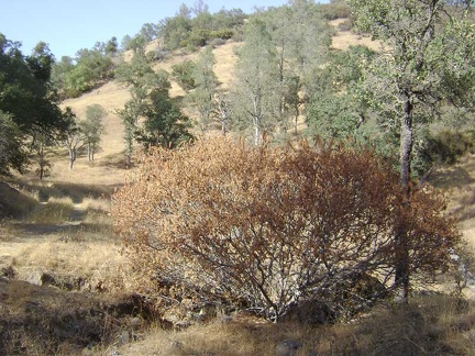 A small California buckeye tree along Bear Spring Road (aesculus californica).
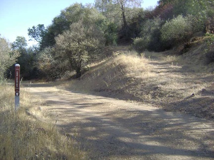 Back near my campsite, Bear Mountain Peak Trail veers upward from Willow Ridge Road
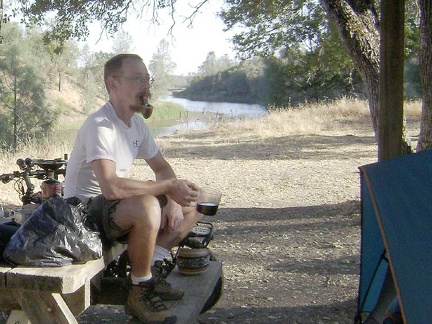 Time for a pipe and coffee back at the campsite to end the slow and relaxing day.
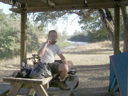 And more coffee.
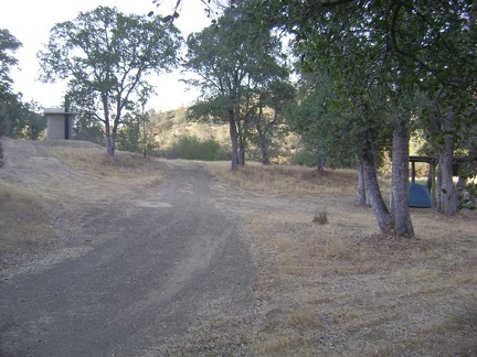 Mississippi Lake campsite area just before sunset with Willow Ridge Road passing through.
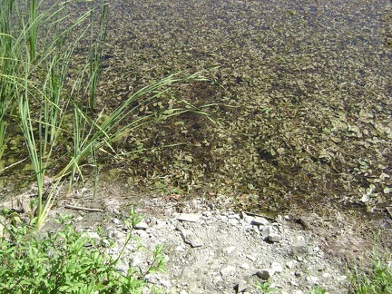 Close up of the plant life in Mississippi Lake.
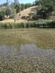 I walk down to Mississippi Lake to see what the birds are doing.
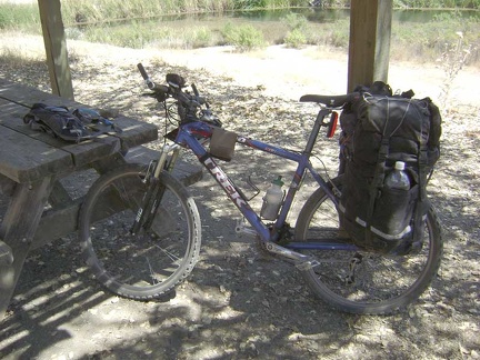 Ready, the 10-ton bike waits for its chauffeur to drive it to Jackrabbit Lake, on the other side of the Orestimba Wilderness.