Home 7119

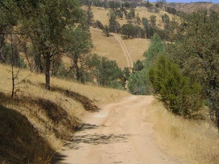 The steep road ahead doesn't look right, so I take a long break on a big rock near here and get out my map
 I begin backtracking and look for Murphy Trail along the way, an alternate route up to Robison Mountain
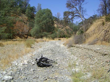 Red Creek Road turns out to be a lesser road than I was expecting
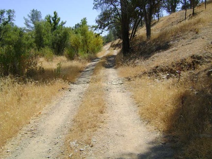 For safety reasons, I give up on the idea of hiking up Robison Mountain and continue backtracking along Orestimba Creek Road
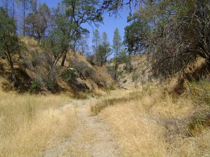 It's a slow bumpy ride and it's fun to try to follow old tire tracks in the grass and stay on the "road"
 I start back up the Rooster Comb Trail to the right to avoid the private property on Orestimba Creek Road ahead
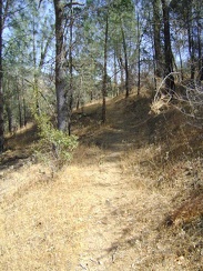 Just before entering this wooded area, I make a note of where it seems the Robison Mountain Trail should be
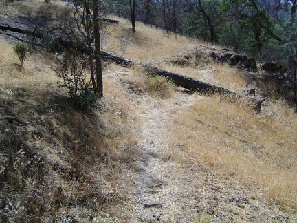 A downed pine tree lays across a switchback on the Rooster Comb Trail
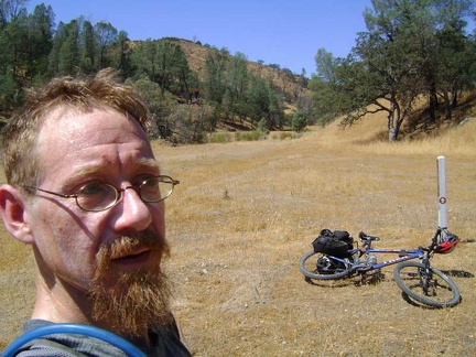 I take a break at the junction of Robison Creek Trail; I'm almost four miles from Paradise Lake now on another hot, sweaty day
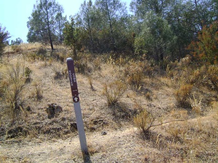 I reach the Rooster Comb Summit Trail and decide to walk up it a quarter mile
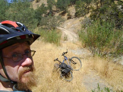 Suddenly, the lost trail in a dry grassy creek bed becomes a well-graded fire road that rises up a hill
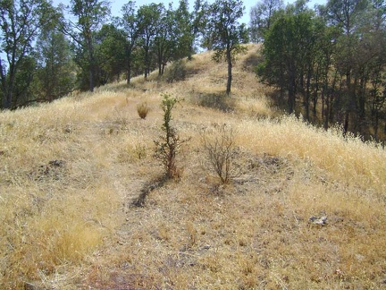 A quarter mile climb up a little hill
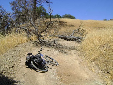 On the way up the hill, I reach a fallen oak that blocks the road
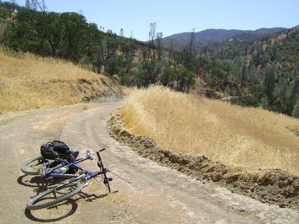 Looking back at part of the little climb here out of the Red Creek canyon
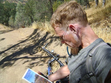 I stop for a map check to see if I'm getting close to Hatch Spring yet
 From here, I can clearly see the trail up the Robison Mountain ridge line whose beginning I didn't see down below
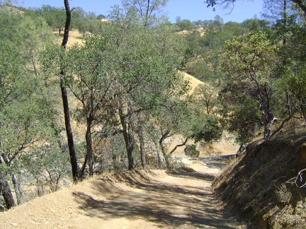 The road drops back down to dry Red Creek
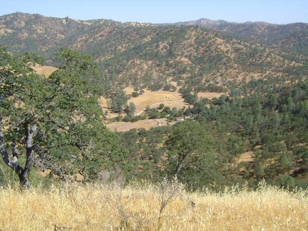 I stop at the first summit on the trail and take in the views of the ranch below and the quiet hills
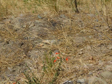 Ooo, a California fuschia in bloom!
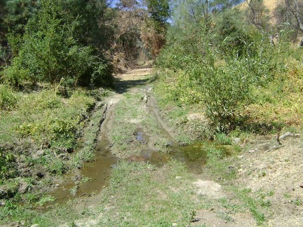 I reach this muddy area on Red Creek Road and figure that this must be water coming down the hill from Hatch Spring
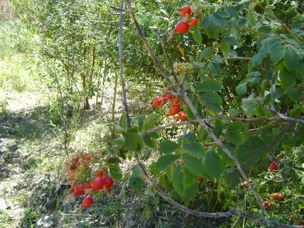 Some very healthy wild roses grow by this moist spot on Red Creek Road
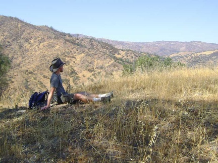 I'm overheating, so I take a break in some shade and enjoy the breeze up on this hill
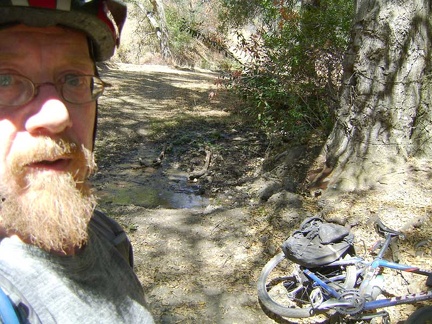 Just beyond the muddy area, I come to a small puddle and stream on the road
 After my break, I drop back down to the Rooster Comb Trail, the sign for which is the white post at the centre-right
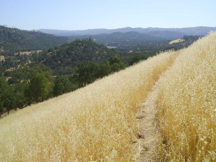 I experience more great views on the return trip down Rooster Comb Trail to Orestimba Creek
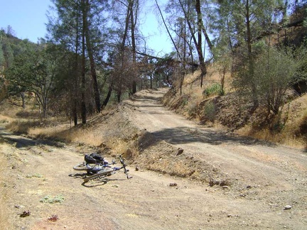 A half-mile later, Red Creek Road switchbacks 180 degrees and quits the canyon for good
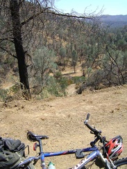 In no time at all, I find myself looking down at the lower part of Red Creek Road where I came from
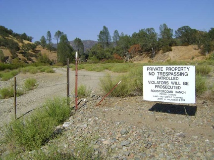 Back on Orestimba Creek Road, I take a moment to explore the fenced entrance to the privately owned ranch
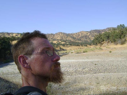 The gravel of dry-in-summer Orestimba Creek radiates heat on a 100-degree day like concrete does in a big city
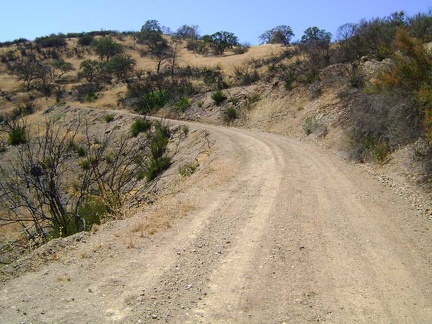 The constant incline isn't all that steep
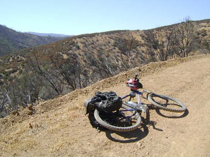 The views keep getting better as I climb up Red Creek Road
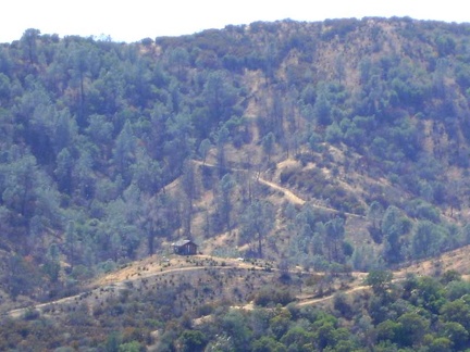 I spot an interesting feature: a little cabin, probably privately owned, on the other side of the canyon
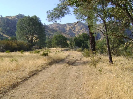 While walking the mile up Red Creek toward Paradise Lake, it occurs to me that something here has changed since last year...
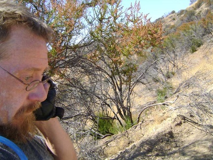 Finally, hiding in the "shade" of a few chamise bushes, I get enough of a signal to make a call on my cell phone
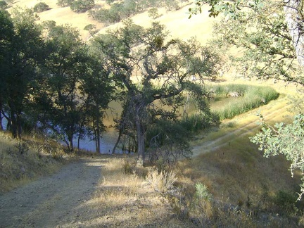 Arriving back at Paradise Lake, a pretty sight, home again for the night
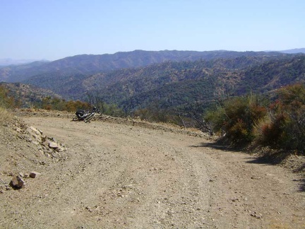 The views and solitude up here on the ridge are so amazing, making the effort to get here worthwhile
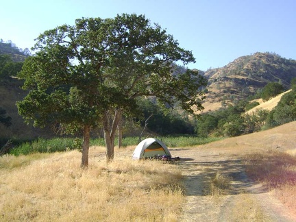 The tent is intact; I always wonder how many curious animals visit it during my absence
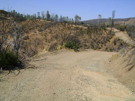 The road rolls along the ridgetop for half a mile or so
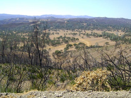 I get my first view toward the north, above Upper San Antonio Valley
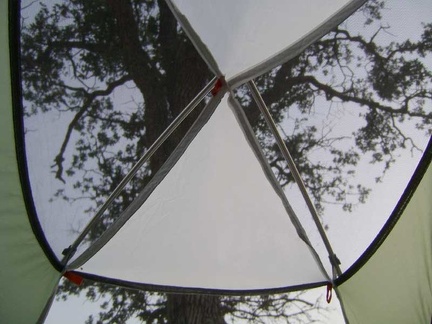 I peel the outer layer off the tent to expose as much screen as possible and take a break inside away from the flies
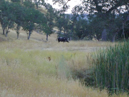 Upon hearing some noises outside, I discover a lone wild pig moseying around the Paradise Lake dam
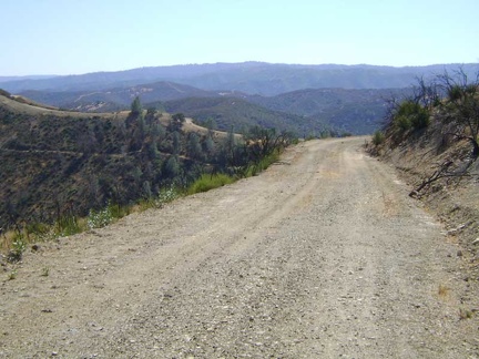 Red Creek Road now descends a brief downhill into the Upper San Antonio Valley
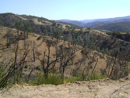 The road I can see from here is on private property outside the Park, but is a piece of County Line Road
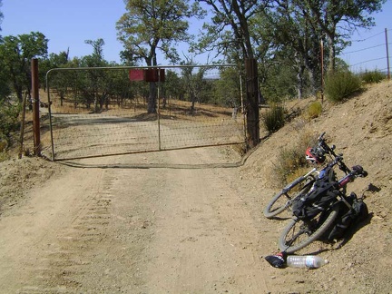 Red Creek Road merges with a piece of County Line Road, but is then blocked shortly afterward by a private-property gate
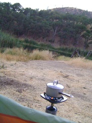 I'm boiling water for my backpacking meal tonight at dusk; usually I wait until after dark for some unknown reason
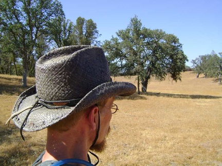 I go for a short walk over to the middle of Upper San Antonio Valley
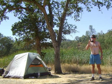 Another blazing-hot morning at Paradise Lake, Henry Coe State Park
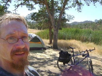 I've packed up the bike for a mountain-bike ride up to the top of Red Creek Road
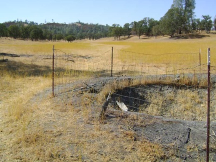 I check out a dry water hole in the middle of Upper San Antonio Valley and then decide to begin the trek back to Paradise Lake
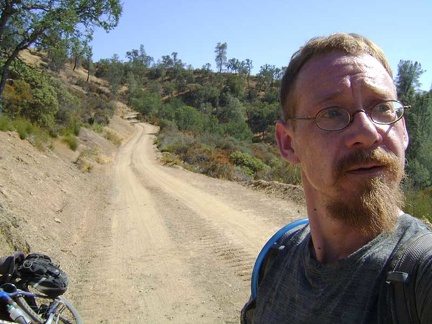 I walk back to the road and and begin the short ride back up to the summit of Red Creek Road
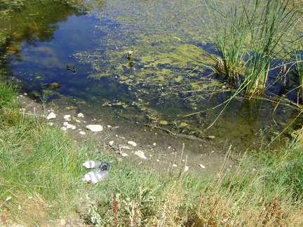 On my way out of Paradise Lake, I stop by the dam and pump six litres of water for the day
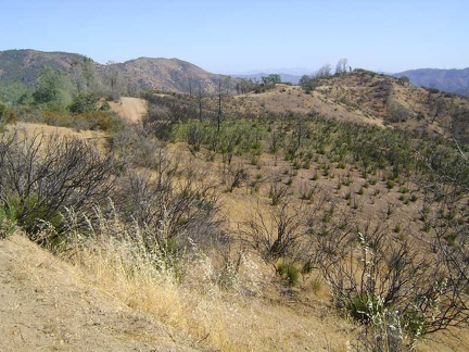 The gentle rollers along the top of the ridge here at about 2400 feet are fun to ride, even in the heat
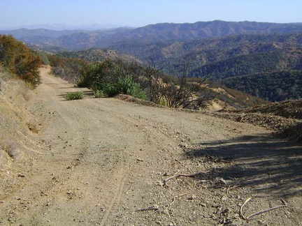 As I begin the big two-mile downhill, I'm reminded why I bother putting so much effort into reaching high places by human power
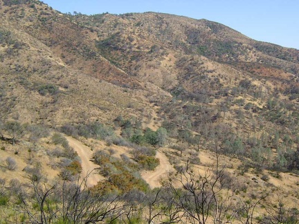 On the way back down to Red Creek, I come across a view of switchbacks that I will coast down in a few minutes
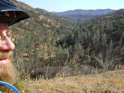 OK, I'm almost down at the bottom of the hill and I can see bits of dry Red Creek down in the canyon below
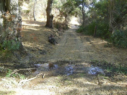 After a half-mile in the lower part of Red Creek Road, I pull over when I reach Hatch Spring and go for a short walk
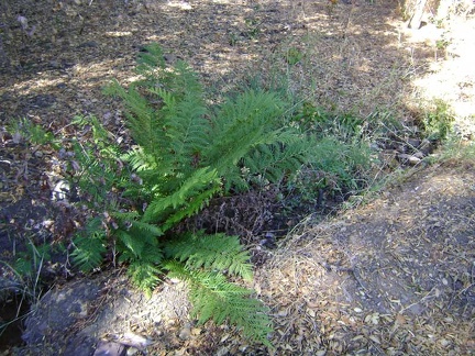 I walk a short distance up the stream below Hatch Spring to look for the best place to filter some water
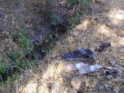 The stream coming down from Hatch Spring is small, but clean
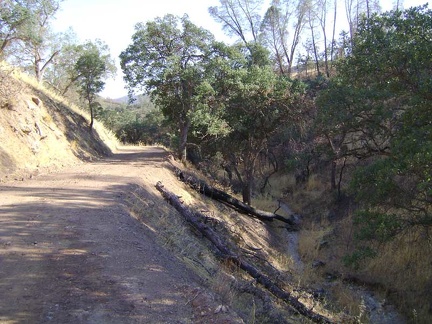 After pumping water at the stream from Hatch Spring, I enjoy the rise of the recently graded road above dry Red Creek
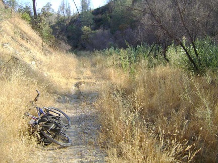 Of course, what comes up must come down, and Red Creek Road drops back down to the dry stream bed
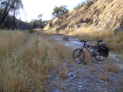 It's such a treat to have a bit of shade at the end of a really hot day
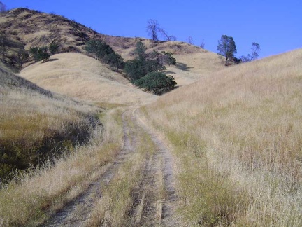 A half-mile rise out of the canyon, and then a ride across Paradise Flat back to the lake...
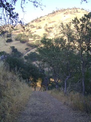 A fire-like reflection in the water greets me as I ride down the hill to Paradise Lake
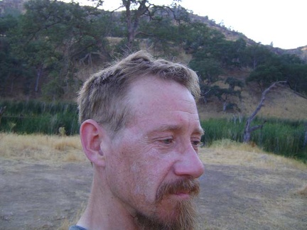 Back at the tent, the first thing to do is wipe myself down and get rid of some of the salt and sunscreen residue on my skin
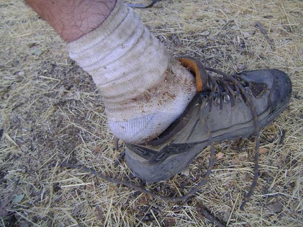 And it's definitely time to put on a clean pair of socks
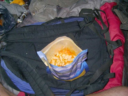 Supper tonight is Mountain House Chicken and Rice, a flavourful and oily 800-calorie "meal for two"
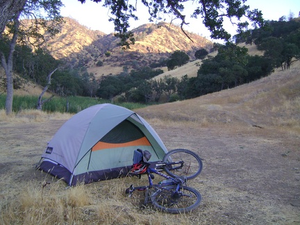 My final morning at Paradise Lake, I'm up early in an attempt to get packed up before the hot sun becomes unbearable
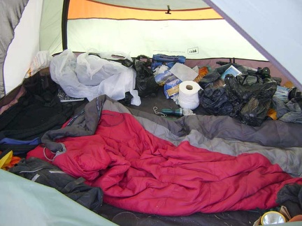 I pack up the disorganized mess that my tent has become after living here for three nights
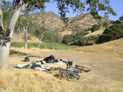 Finally, the tent comes down and my departure from Paradise Lake is now imminent
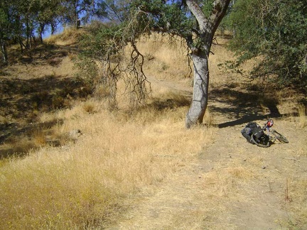 I park the 10-ton bike at the bottom of the hill on the road that leaves Paradise Lake
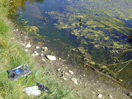 I can smell the plant growth in the lake under the hot morning sun as I pump water through the water filter
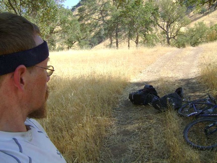 I carry my saddlebags up the hill separately from the bike and reassemble the rig at the top of the hill in a shady area
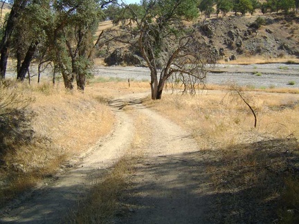 After riding a mile down Red Creek Road across Paradise Flat, I'm back at the gravel of Orestimba Creek
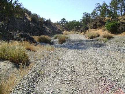 The gravel crunches beneath my tires on Orestimba Creek Road
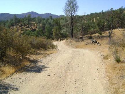 Orestimba Creek Road climbs out of the creek, then drops back down into the gravel, then back up on dry land
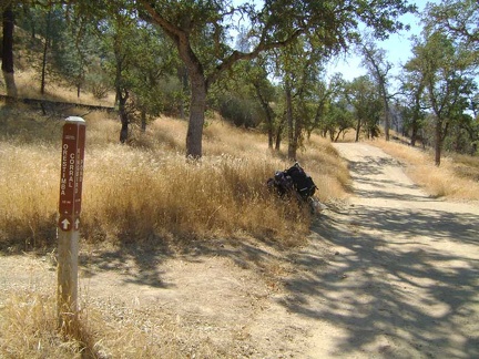 I forgot to look for the trail to Mustang Pond, but I haven't forgotten to look for the trail to Kingbird Pond; here it is
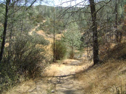 Kingbird Pond Trail dips down to a dry (in summer) drainage, then rises up the other side
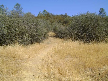 Kingbird Pond Trail crosses a dry area studded with ceanothus shrubs
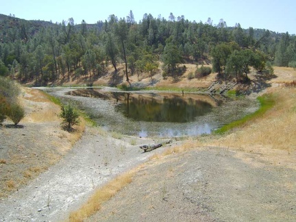 I walk around a bend and here it is: Kingbird Pond
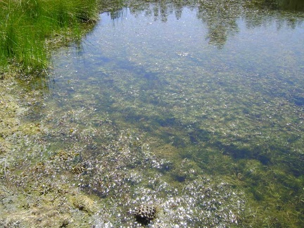 Aquatic plant life at Kingbird Pond
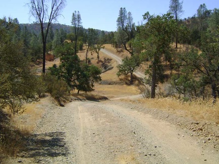 Back on the bike, I can't help but think that the rolling hills of Orestimba Creek Road are probably more fun in cooler weather
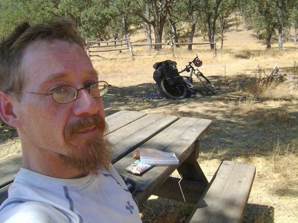 I'm happy when I reach the picnic tables of Orestimba Corral, which has become a designated break stop for me
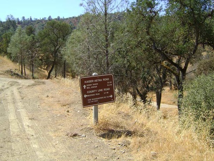 One final mile up Orestimba Creek Road and I'm at the junction of County Line Road
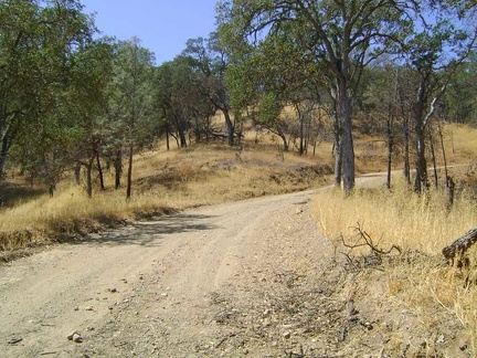 The climb up County Line Road isn't steep, but I just can't seem to get any energy going on this hot day
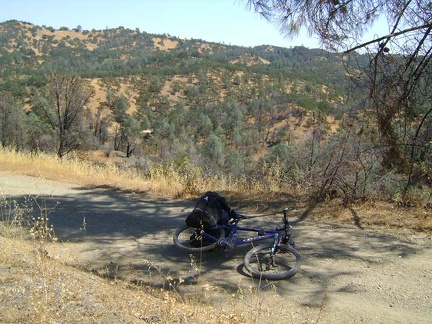 Little by little, I make my way up toward Mississippi Ridge
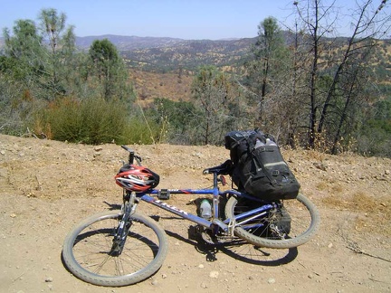 A bit higher up, I'm treated to views out toward Orestimba Wilderness and Paradise Lake
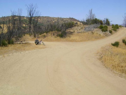 I've reached Mississippi Ridge and I'll turn left here on Coit Road
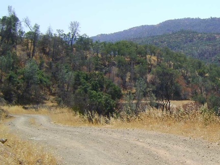 I coast down Coit Road to Mississippi Creek
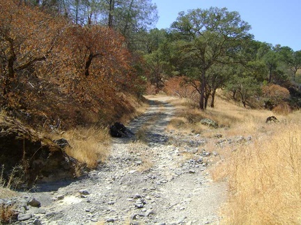 At the bottom of the hill, I cross dry Mississippi Creek again
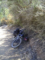 It's uphill for the next mile to the top of Pacheco Ridge, 550 feet above
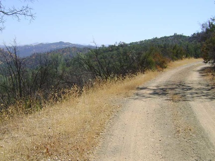 The climb up to Pacheco Ridge brings with it more excellent views of the ridges beyond
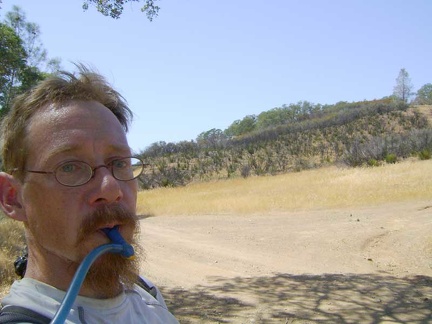 I suck back water at the joyous moment of attaining Pacheco Ridge
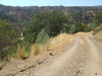 OK, it's downhill now for the last 3/4 mile to Pacheco Camp in the canyon below; phew
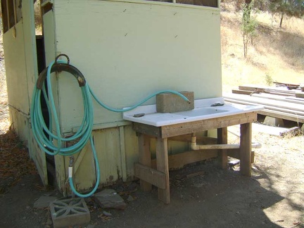 Pacheco Camp = cold water!
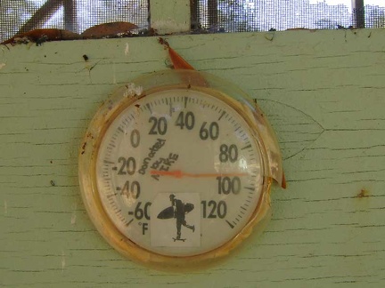 94 degrees down here in the shade where it feels "cool"
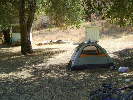 I set up the tent and get to the business of taking a cold spring-water shower in the shower shed
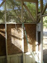 Whoever came up with the idea for an outdoor shower at Pacheco Camp deserves a round of applause
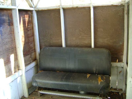 Away from the stream of water in Pacheco Camp's shower shed sits an old car seat
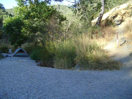 Morning at China Hole: too many flies buzzing around to enjoy morning here, so I try to pack up as quickly as possible and leave
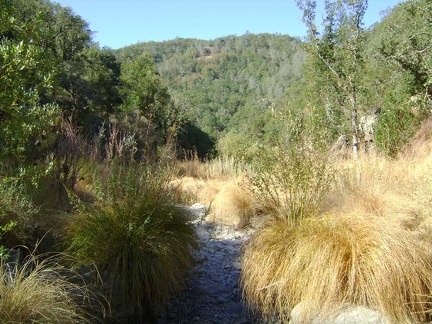 View down the canyon behind my tent site at China Hole, Henry Coe State Park
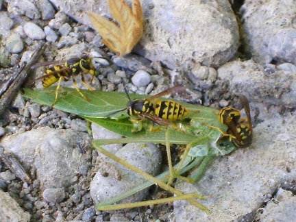 A few yellowjackets are still buzzing around the ground near my tent, feeding on this "leaf"
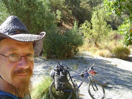 I finally get the 10-ton bike packed up and snap one last photo before departing China Hole
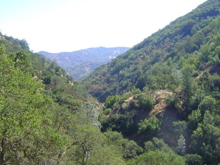 I start limping up China Hole Trail with the 10-ton bike
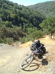 I come around a switchback and can see back down to China Hole below
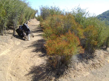 I bend around a switchback in another of my favourite stretches of China Hole Trail as I limp along upward
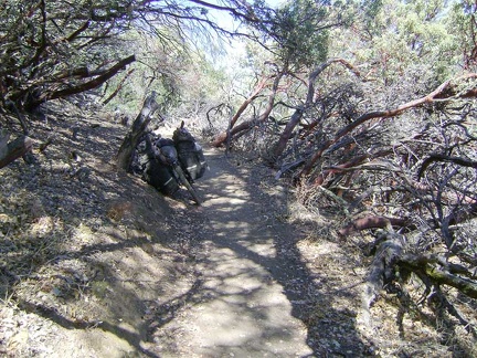 China Hole Trail passes briefly through a stand of manzanitas
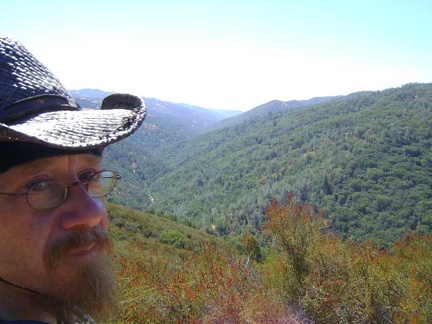 Rising higher on China Hole Trail, I still have some grandiose views down into the Coyote Creek canyon below
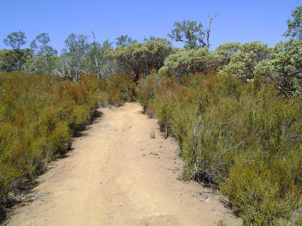 China Hole Trail passes through a lot of chamise again before entering another manzanita-dominated area
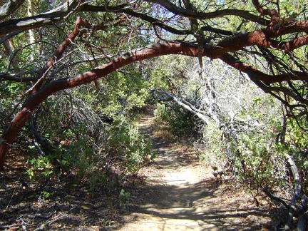 Now I pass through my most favourite part of China Hole Trail, "the manzanita tunnel"
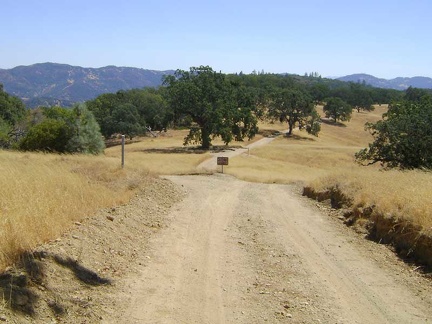 Looking back down toward the canyon across to Willow Ridge from Manzanita Point Road, about 1100 feet above China Hole
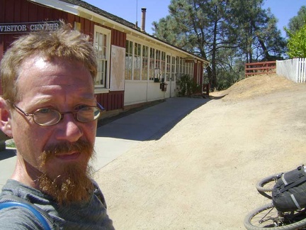 Woo hoo, I've made it back to Henry Coe Headquarters and my week spent in the Park comes to an end
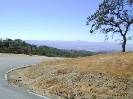 I begin the 2600-foot descent down Dunne Ave from Henry Coe State Park to Silicon Valley
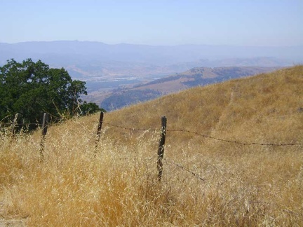 I snap a few photos on the upper part of Dunne Avenue, looking down to Silicon Valley
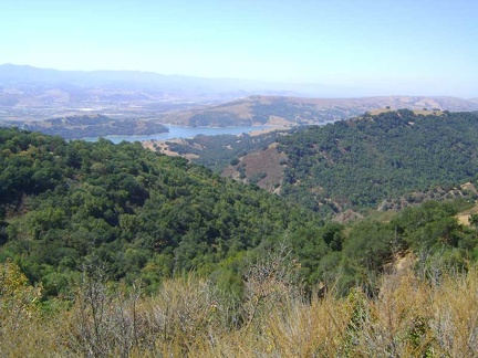 This is one of the best views from upper Dunne Avenue down to Anderson Reservoir and the town of Morgan Hill below that
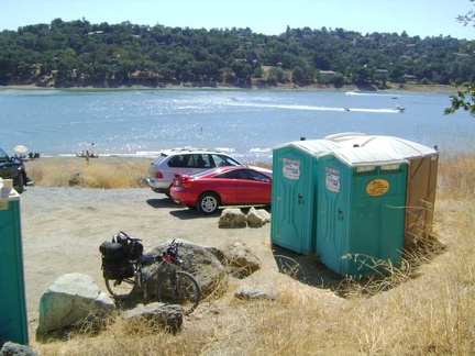 On the way down, I stop at the portable toilets at Anderson Reservoir, which is a County park
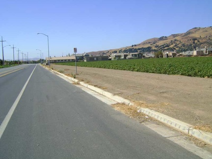 The final steep hill down to Silicon Valley is a blast and I begin the 23-mile northward ride home on the flat valley floor
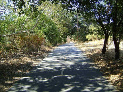 Coyote Creek Trail is my chosen route back into San José today instead of the busy, but more direct, Monterey Road
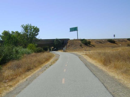 Other long sections of Coyote Creek Trail are quite hot and exposed to the sun
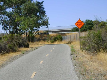 15 miles on Coyote Creek Trail, then another seven miles on nasty San José streets, and I'm home!
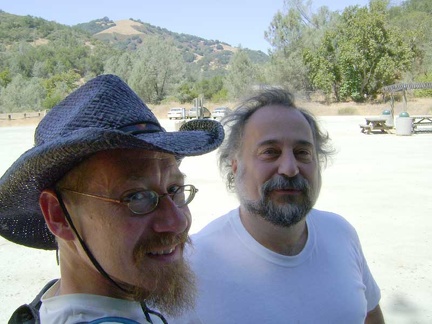 The boy drops me off at the Hunting Hollow entrance to Henry Coe and we bid each other goodbye for a week
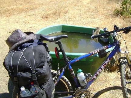 I pedal slowly down the road from Hunting Hollow and make my first stop at Fern Spring, after a quarter mile
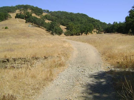 The mostly flat road through Hunting Hollow
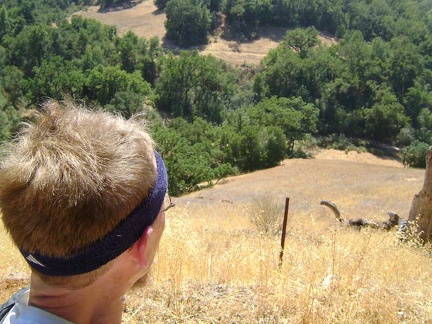 The views back down to Hunting Hollow below are already inspiring, and I've not risen much yet
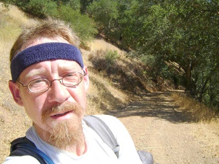 At the end of the three flat miles in Hunting Hollow, Henry Coe reality sets in as I begin the climb up Wagon Road
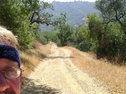 The climb up Wagon Road becomes more moderate after the initial steep section out of Hunting Hollow
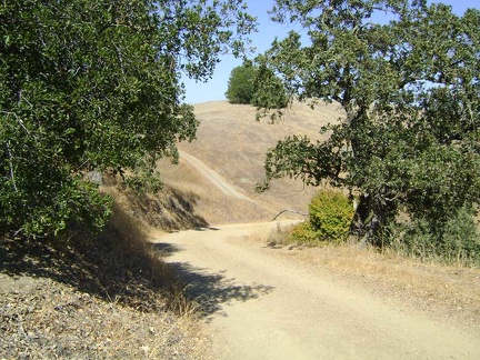 I see that Wagon Road has another steep hill ahead for me
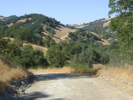 I've reached the first summit of Wagon Road and will now descend into the gulch and begin the climb to the second summit
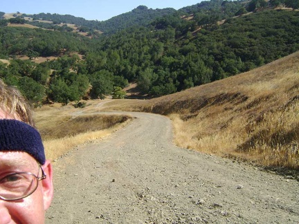 Climbing up toward the second summit of Wagon Road
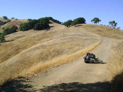 I stop here to pump up my rear tire; Willson Camp, my next stop, is visible at the far left
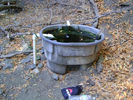 I filter some cold water from the spring behind Willson Camp
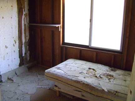 I wouldn't be surprised if this mattress in the Willson Camp bedroom is full of little mice!
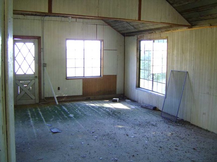 The Willson Camp cabin boasts an ample living room
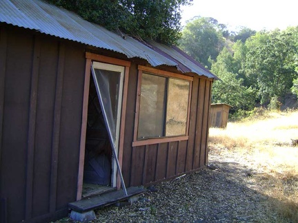 The side door to the Willson Camp cabin is open, so I step inside
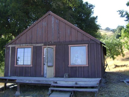 The old cabin at Willson Camp, Henry Coe State Park
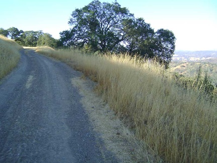 Beyond Willson Camp, some of the rise on Wagon Road is very gentle and easy to ride as it rolls along the ridges
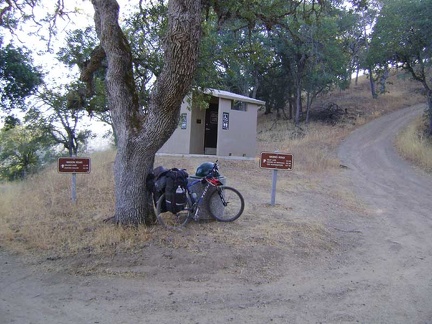 I pass a modern outhouse at the junction of Wagon Road and Wasno Road, near Wasno Pond
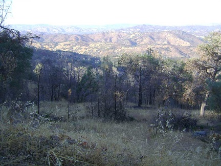 More breathtaking views to the east from the Wagon Road ridge
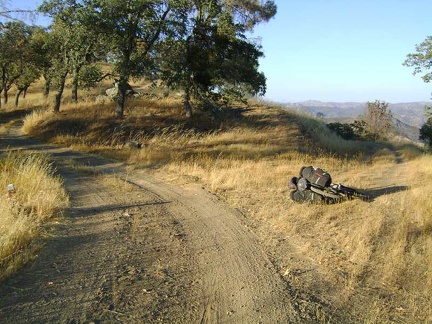 Just beyond the junction of Coit Road, I pass a lesser trail on my right, Live Oak Spring Trail, and decide to take it
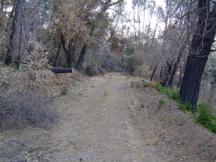 Live Oak Spring Trail, Henry Coe State Park
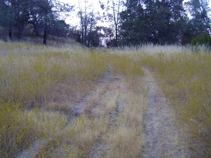 After 0.8 miles, Live Oak Spring Trail splits into an upper and a lower trail trail for the next half mile
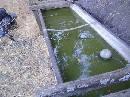 This is Live Oak Spring, Henry Coe State Park
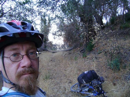 A downed tree on Live Oak Spring Trail, Henry Coe State Park
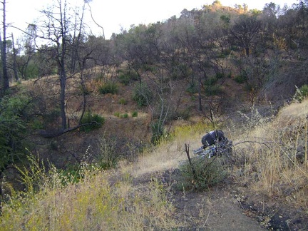 More fire damage on the upper Live Oak Spring Trail
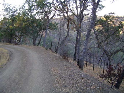 Soon enough, I'm back on Coit Road for the final 0.7 miles down to Pacheco Camp
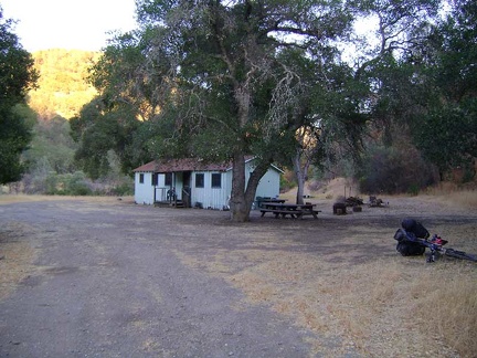 And here we are at Pacheco Camp for the night! (elevation 1689 feet)
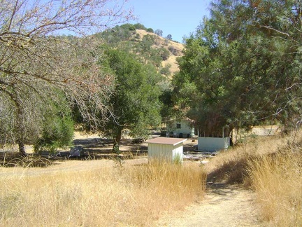 Noon sunshine at Pacheco Camp with my tent hiding under the big oak tree on the left
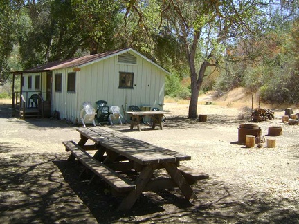 The old cabin at Pacheco Camp is well-maintained, locked and used by the Park for special events
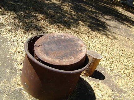 The metal fire pit near Pacheco Camp cabin sports an appropriate message for the hot-and-dry season
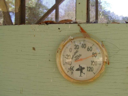 The thermometer on the shady side of the shower building shows 80 degrees F
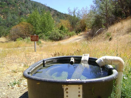 The Pacheco Spring tub is full of fresh water (and a few yellowjackets)
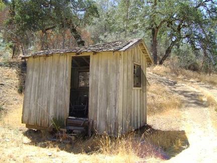 The old outhouse at Pacheco Camp (no longer used) sits near the more recent concrete outhouse a bit up the hill
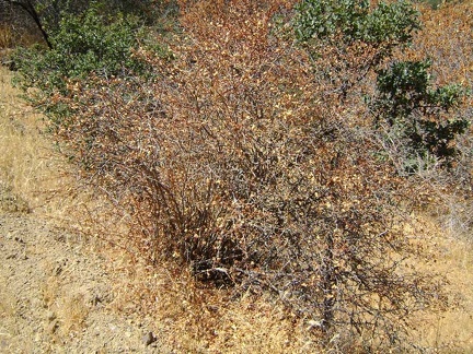 I finally start today's hike, first up White Tank Spring Trail, and pass this dormant hillside gooseberry (ribes californicum)
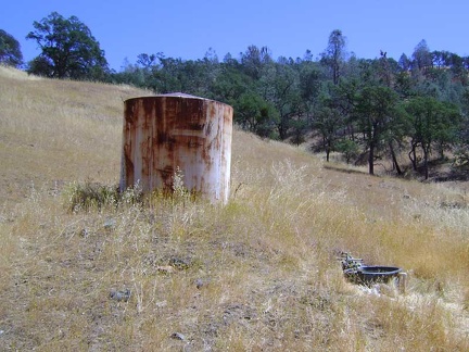 White Tank Spring, Henry Coe State Park
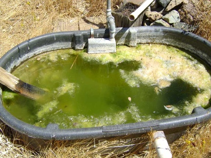 White Tank Spring, Henry Coe State Park
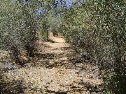 Above Pacheco Camp, White Tank Spring Trail passes through a ceanothus grove before rising into a drier, more exposed area
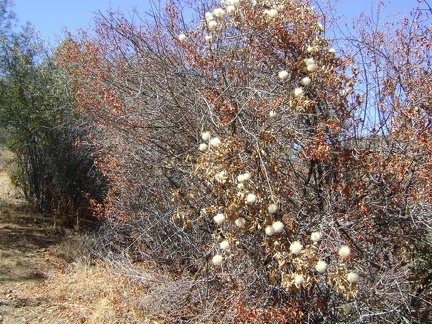 Fluffy clematis post-flower seed heads along White Tank Spring Trail, Henry Coe State Park
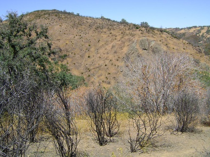 View of damage from last year's brush fire from White Tank Spring Trail, Henry Coe State Park
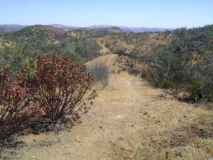 View back toward Pacheco Camp from a ridgetop on White Tank Spring Trail
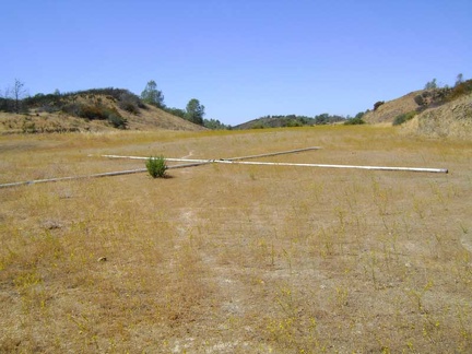 The top of White Tank Spring Trail crosses Hoover Lake Trail, an open area that was once an airplane-landing strip
 After White Rock Spring Trail, I walk south along the ridgetop on Willow Ridge Road
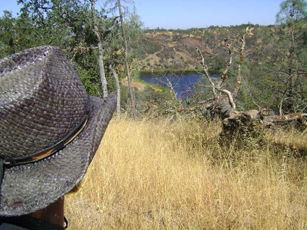 A couple of minutes later, and further south on Willow Ridge Road, I have a nice view down to Coit Lake
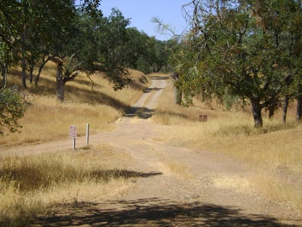 After almost two miles on Willow Ridge Road, I reach the junction with Coit Road
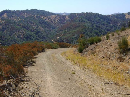 I'm enjoying the view down Coit Road from Willow Ridge here, toward Kelly Lake and Wasno Ridge beyond
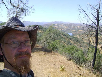 Crest Trail rises a bit more, eventually reaching approximately 2600 feet elevation
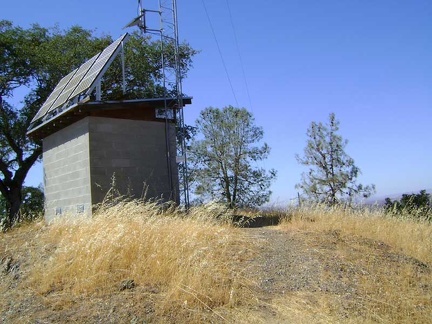 Near the top of Crest Trail is a transmission tower of some sort
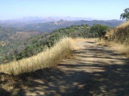 After Crest Trail, I hike down Wagon Road 3/4 mile to reach Center Flats Road
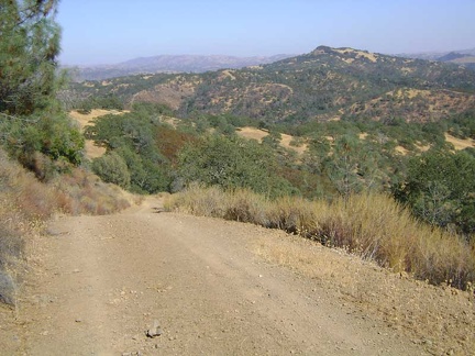 Despite the name that suggests flatness, Center Flats Road looks like all downs and ups from here
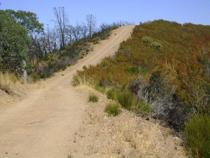 One of several steep stretches along Center Flats Road, Henry Coe State Park
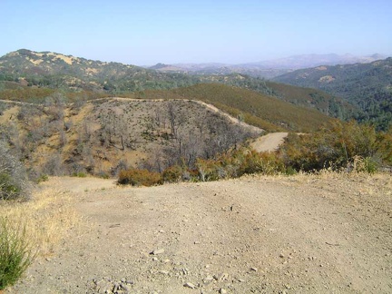 Well... part of the Center Flats Road ahead is somewhat flat
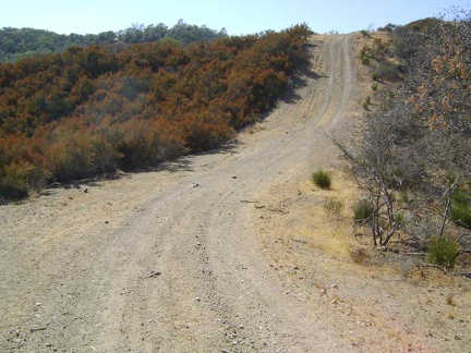 OK, but this "little" hill on Center Flat Road is definitely not flat!
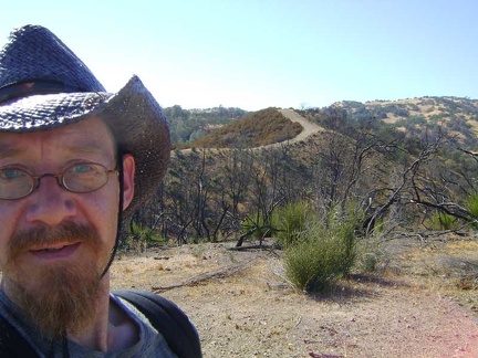 This segment of Center Flats Road looks like a little landing strip on top of a hill
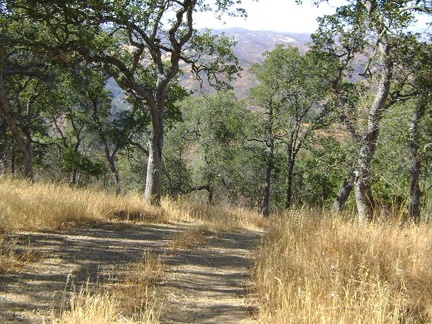 More Center Flats Road
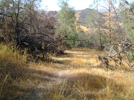 After 2.4 miles on Center Flats Road, and only 300 feet overall elevation drop, I begin the steep hike down Walsh Trail
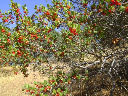 Wild berries (chokecherries?) on the way down Walsh Trail
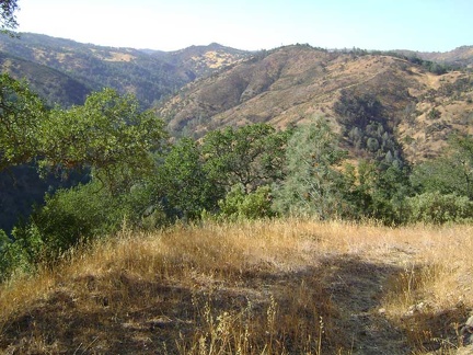 Walsh Trail descends quickly into the Pacheco Creek canyon
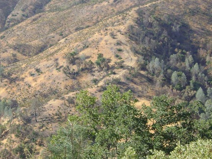 Close-up of Walsh Trail rising up the hill on the other side of the canyon
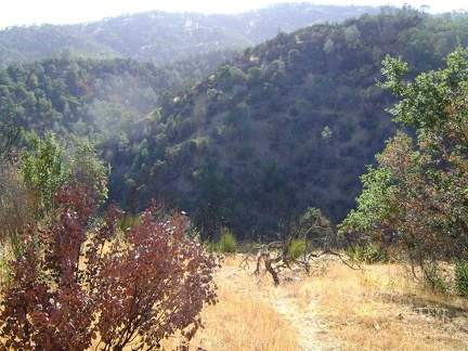 Getting close to the bottom of Walsh Trail
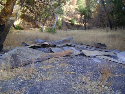 At the bottom of Walsh Trail near Pacheco Creek are some ruins of an old building
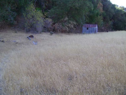 This intact shed also sits at the bottom of Walsh Trail by Pacheco Creek
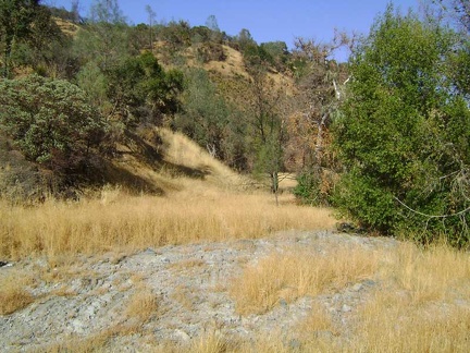 Walsh Trail crosses the dry Pacheco Creek stream bed here
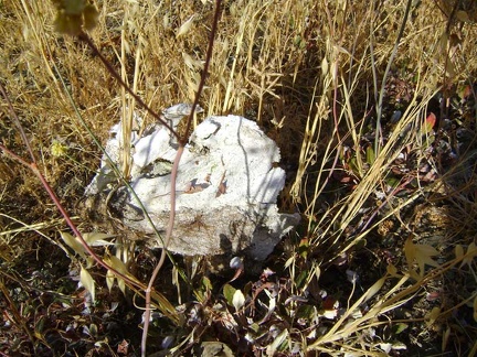 I almost didn't see this skull camouflaged in the grass along Pacheco Creek
 At first, I find myself climbing up through a very burnt landscape looking for the trail
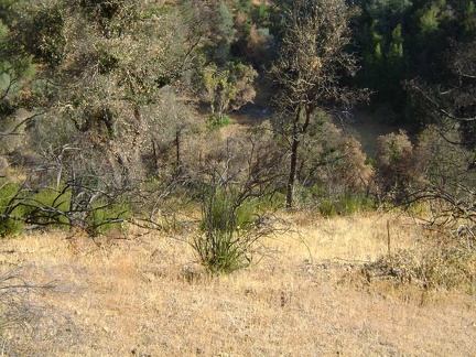 I haven't climbed much yet, but I'm already way above Pacheco Creek
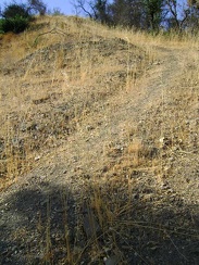 Ah, here's the trail!
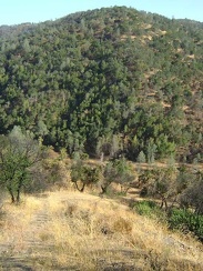 I stop briefly to catch my breath on this rather heart-pounding climb
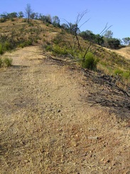 Almost at the top of Walsh Trail
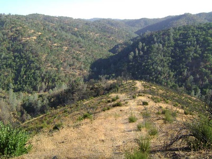 I take a short break at the top of Walsh Trail, look back down, and drink a lot of water
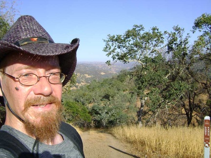 Starting the two-mile hike up Pacheco Ridge Road
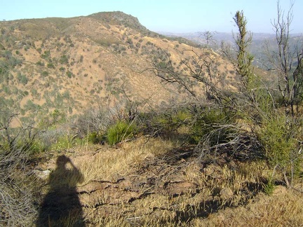 I snap several shots of Walsh Peak as I hike up Pacheco Ridge Road
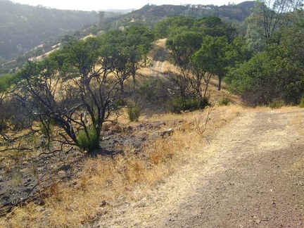 Pacheco Ridge Road is a classic Henry Coe roller-coaster-ridge road with uphills in both directions
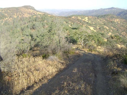 Higher up Pacheco Ridge Road, I look back toward Walsh Peak again
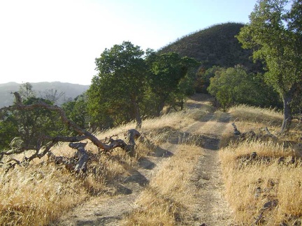 At the top of this part of Pacheco Ridge, the road winds to the right around the lush green knob ahead and through a shady area
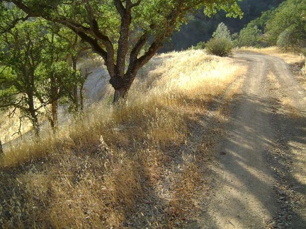 I walk down the switchbacks of Coit Road for 3/4 mile to get back to my tent at Pacheco Camp
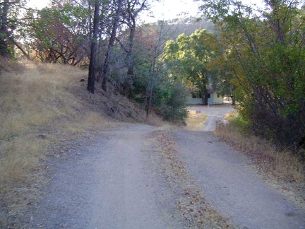 And voilà, here I am back at Pacheco Camp, 5.5 hours later
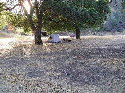 My tent and bicycle are here waiting for me at Pacheco Camp
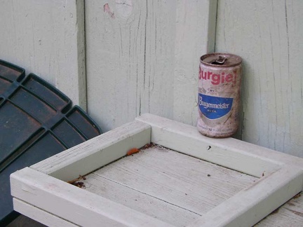 I walk around Pacheco Camp a bit and see an artifact that I hadn't noticed before
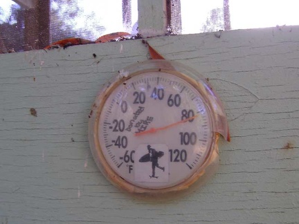 It's certainly cooler down here in the canyon than it was up on the hills, and the temperature here shows 82 degrees F
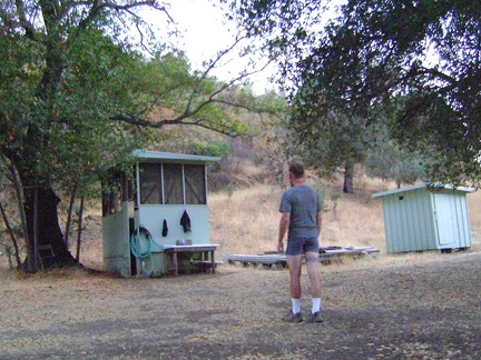 Before the sun goes down, I take a cold-water shower and rinse some dirty clothes
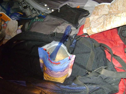 Tent supper tonight is instant Mountain House Beef Stew, one of my favourite dehydrated backpack meals
 I don't really want to leave Pacheco Camp, but today is the day that I ride to Paradise Lake to camp there for a few nights