Home 7119

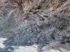 Twisted rock layers in Piute Canyon
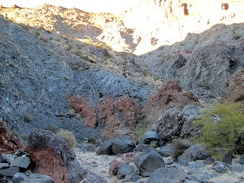 More rust and grey-blue in Piute Canyon
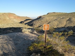 I begin the hike down to Piute Spring by walking over to the trail sign at campsite #2
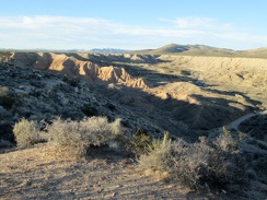 Late-day sunlight looks great in Piute Gorge
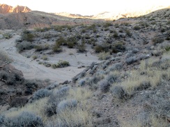 I'm almost at the bottom of the rather eroded trail leading down to Piute Canyon
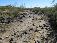 Part of the road sprouts a lot of rock
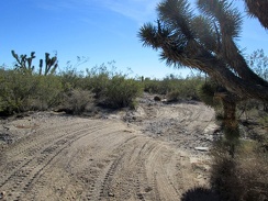 Don't brush up again that Joshua tree and cut your head open while passing by!
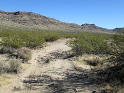 An easy-riding stretch is coming up just around this bend...
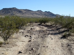 A bit of rock, a bit of sand...
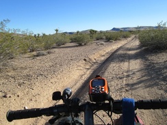 An hour later and I'm still on this road: getting close to Piute Gorge now!
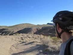 I arrive at Piute Gorge and check out a couple of the campsites that overlook the gorge
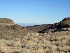 I've just arrived at the Piute Gorge area and I love it already, as Ranger Matt told me I would, several years ago
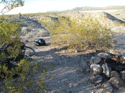 I choose a campsite overlooking Piute Gorge, then quickly prepare to go for a short hike down to Piute Spring before dark
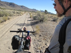 Hmmm, my road has become rather sandy here because it's in a drainage channel now
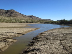 I come across another cattle pond, this time a really big one
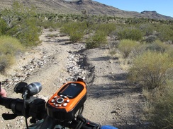 The road is quite rough for the final few miles to Piute Gorge
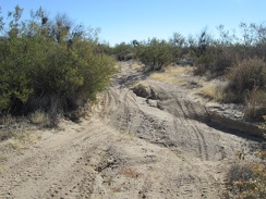 More fun riding on the way to Piute Gorge
 Paint or etching?
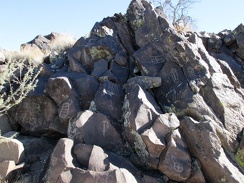 More more more rocks
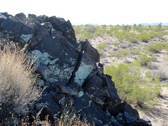 I'm quite satisfied by this unexpected discovery here
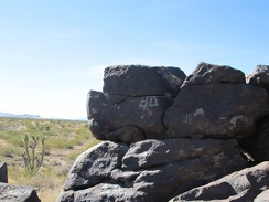 Subtle
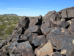 A lookout point from the rocks
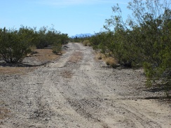 Back on the 10-ton bike, I'm happy to see my route has firm ground here
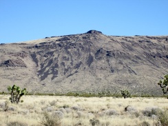 I wonder if this grassland is natural, or if it was converted into grassland by the cows that grazed here for decades
 After packing up camp, I start the ride down the dead-end road that I didn't ride up yesterday
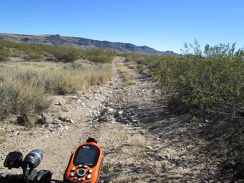 So far, this road provides a variety of surfaces from firm to rocky
 A mushroom pops up in the middle of the road amidst a light carpet of eriophyllum flowers, if that's what they are
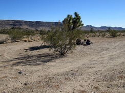 I don't need a rest yet, but this looks like a good place to stop and go for a short walk
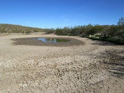 Another old cattle pond, this one surprisingly still with a bit of water
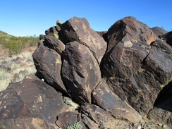 More rocks
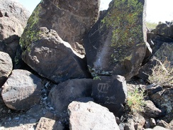 More more rocks
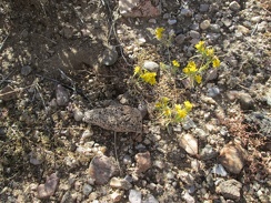 There are very few flowers blooming at this time of year out here, but I spot a patch of these tiny yellow guys near my tent
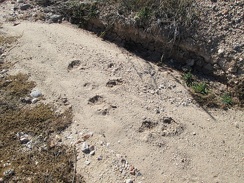 I notice some fresh footprints in the wash while I'm out walking around on my morning toilet run
 I locate The Lost Road by the dry cattle pond and start riding it
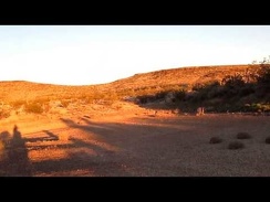 The dried-up cattle pond at sunset is a nice place to get some thinking done
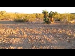 The 10-ton bike follows the tire tracks through the creosote bush scrub
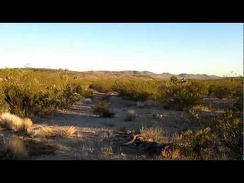 Contemplating my route here on The Lost Road...
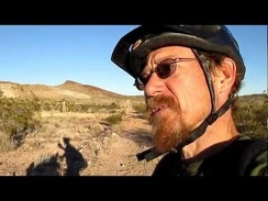 I've decided to call this The Lost Road, since I'm not exactly sure where it's leading me
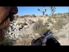 I stop for a Vietnamese-deer-jerky break in the Joshua tree forest along Hart Mine Rd
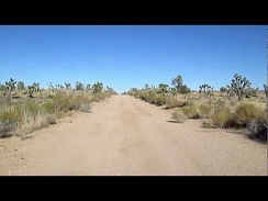 I like riding this straight stretch of Hart Mine Road and gaining a tiny bit of speed
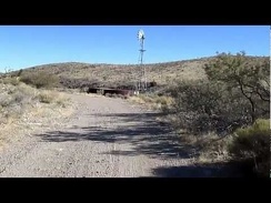 I ride toward a defunct windmill and water tank on Hart Mine Road
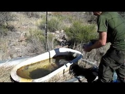 I arrive at Bathtub Spring, Mojave National Preserve and proceed to filter about two gallons of water
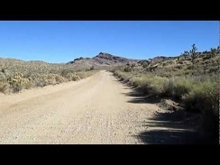 Riding up Ivanpah Road, Mojave National Preserve
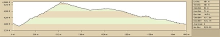 Elevation gain of bicycle ride to Lost Camp, Lanfair Valley, from Slaughterhouse Spring
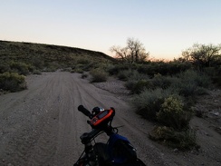 The Lost Road takes me into a wash briefly, with many tire tracks, before I return to the faded trail and find a campsite
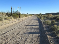 Corral remnants along Hart Mine Road
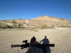 I stop at another junction near Hart to decide how I want to proceed
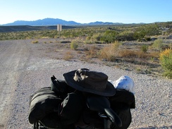 Before continuing, I look back to the New York Mountains, the area where I spent the last two nights, some 15 miles away
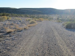 I decide to try this fairly well-maintained road as a route around the Castle Mountains, even though it's not on my map
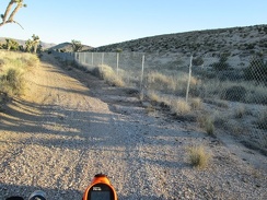 The road narrows and I find myself riding along a chain-link fence
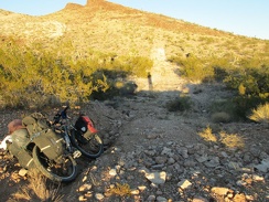 I'm not able to ride this faded road any longer, and the tire tracks I was seeing here have all but disappeared
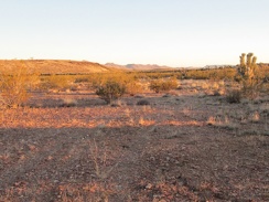 The tire tracks are really faint in some places and hard to follow, like here
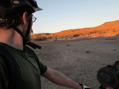 I arrive at a dried-up cattle pond, just before sunset
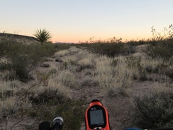 The 10-ton bike pushes ahead on The Lost Road, with significant GPS assistance
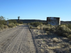 I come across another old reservoir along Hart Mine Road
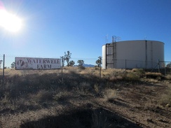 I pass Waterwell Farm, which appears to be a defunct modern water reservoir
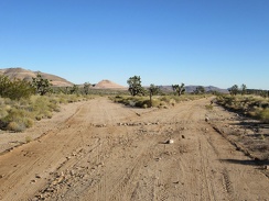 As I approach the Castle Mountains, the choice of possible routes to follow increases
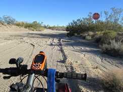 It's funny to run into a stop sign in the middle of nowhere near the old Hart Mine
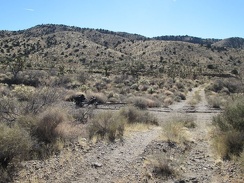 After filling up on water, I hike the 1/2 mile back to the 10-ton bike and resume today's journey toward the Piute Range
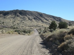 Back on Ivanpah Road, I'm at about 4600 feet elevation, almost at my high point for the day
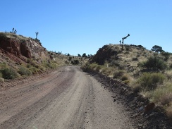 Ivanpah Road passes through a blasted slot through the rocky landscape
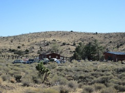 As I approach the old settlement of Barnwell, I'm compelled to stop and look at the old private automobile graveyard there
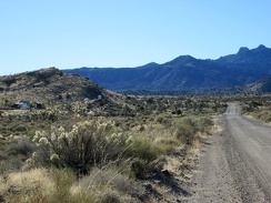 At 4800 feet elevation on Ivanpah Road, my high point of the day, I'll turn left on Hart Mine Road at Barnwell, 100 feet ahead
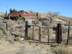 I take a peek at one of the old houses at Barnwell while riding by, as I like to do
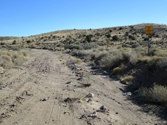 Parts of Hart Mine Road have a tendency to get a bit washed out
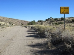 This sign explains why Hart Mine Road is sometimes in rough condition
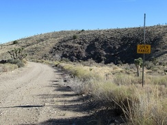 Open range on Hart Mine Road
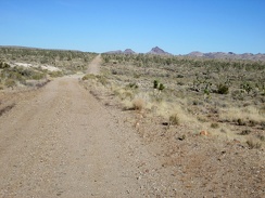 This part of Hart Mine Road follows an old railway grade that dates back to the old mining days
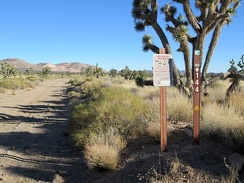 At this point, I'm now outside the Mojave National Preserve boundaries, and will be for most of the rest of the day
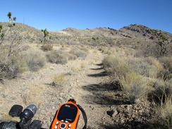 I ride a short distance up the road to Bathtub Spring, stash the 10-ton bike in some bushes and hike up to the spring
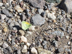 On the way to Bathtub Spring I pass several small, colourful butterflies
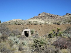 Before Bathtub Spring Road rises up to the old Ivanpah railway grade, I notice a drainage tunnel under the old track bed
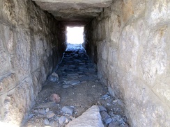 I'm surpised that this drainage tunnel is in such good condition
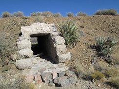 Close-up of the tunnel under the old railway grade
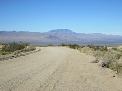 I ride a short distance up Ivanpah Road and turn back to take in the great view across Ivanpah Valley behind me
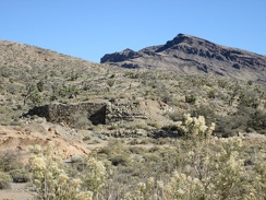 I pass the old stone foundation of something near Ivanpah Road
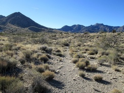 I walk down to the wash for my morning toilet run and notice the tracks of an old road no longer used
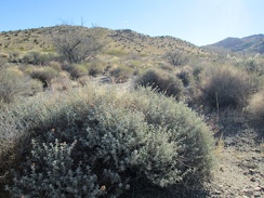 A big sage is sprouting some fresh-looking growth
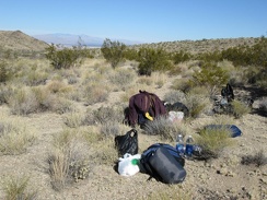 I've had breakfast, done my toilet run and lazed around a bit: now it's time to pack up the tent and move on
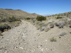 Packing up done! I ride the 3/4 down the bumpy hill to Ivanpah Road
 I arrive at Ivanpah Road and turn right to head up into the New York Mountains
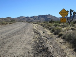 There's that threatening sign again on Ivanpah Road: Rough Road, Next 23 Miles
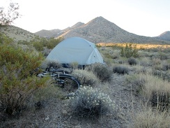 Another morning at Slaughterhouse Spring; nice!
 I finish filtering water at Bathtub Spring just as it gets dark; I close the gate and hike the 3.5 miles back to camp
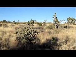 A family of small birds (probably Cactus wrens) flies away as I hike up the grown-in remains of an old desert road
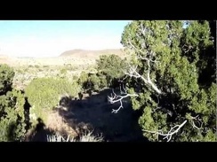 I'm getting hungry; time for an energy bar while hiking across the rolling highlands here
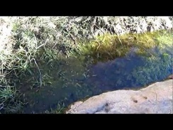 I arrive at Lecyr Spring
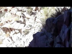 Dry waterfall: a bigger one this time!
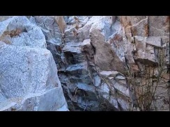 Willows and mini dry waterfalls in the canyon
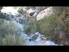 I encounter a small dry waterfall in the canyon
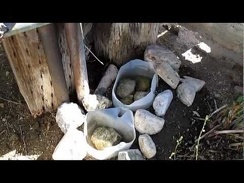 Slaughterhouse Spring, Mojave National Preserve
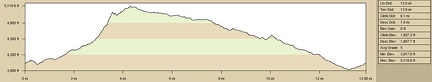 Slaughterhouse Spring hills hike, elevation profile
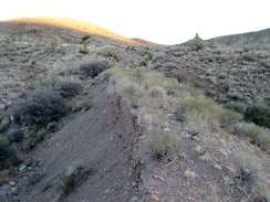 A lot of fill was used to build up the Ivanpah railway bed across low-lying drainage areas like this one
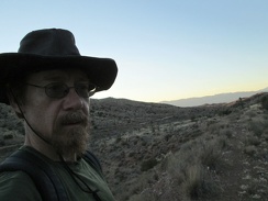 Today's Ivanpah Road, an important north-south corridor in the Mojave National Preserve, is visible behind me
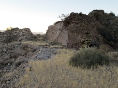 Here's another slot blasted through the hill for the old Ivanpah railway
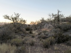 This stretch of the old Ivanpah railway bed is really returning to nature
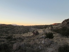 Sunset approaches as I hike the old railway bed toward Bathtub Spring
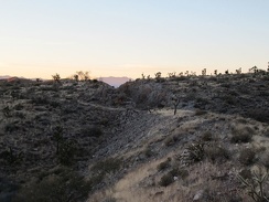 I'll hike through this one last blasted slot through the rock before reaching the Bathtub Spring area
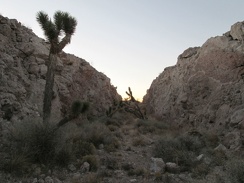 Imagine a train passing through here 100 years ago!
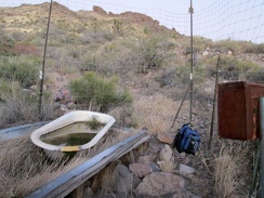 I arrive at Bathtub Spring shortly after sunset and finally figure out how to get through the fence that protects the spring
 Oh, another stray balloon, but this one is different!
 I hike the 1.5-mile-long stretch of the old Ivanpah railway grade northbound to the Bathtub Spring area
 Just before arriving at Ivanpah Road, I walk past a low rock wall with lichen growing on it
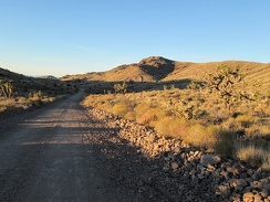 The wash I've been following arrives at Ivanpah Road, so I cross it, and begin hiking the old railway grade
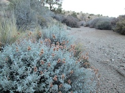 Salvia dorrii: I thought I detected the distinctive smell of desert sage earlier, and here's some
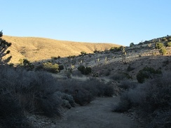 I encounter no other human footprints as I hike down this wash toward Ivanpah Road (and I haven't seen any other humans today)
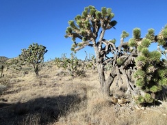 I hike cross-country a while across rolling Joshua-tree-and-juniper forest in the Trio Mine area
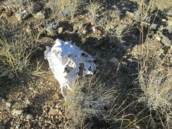 Hmmm, a skull
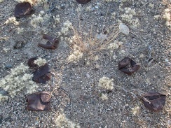 Old rusty cans: That means I've arrived in the area of a former settlement!
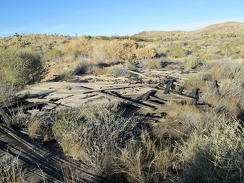 I wonder if this collapsed structure was once a house
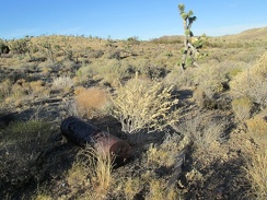 Ah, there's an old-style water heater
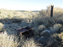 And there's the old stove...
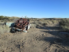 Once in a while, one stumbles across old abandoned vehicles in remote desert locations, like this one
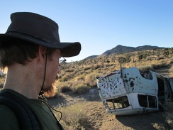 Not sure what model of old car this is; it's van-like
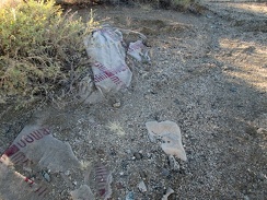 Merle Norman: I take a look at the partially buried carpet waste nearby
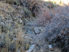 My short hike up the invisible road ends and I begin hiking down a gently sloping wash toward Ivanpah Road
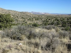 Upon leaving the Lecyr Spring area, I can see across the upper part of Lanfair Valley to the Castle Mountains
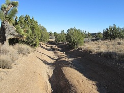 I hike down Lecyr Spring Road, which is quite eroded in places
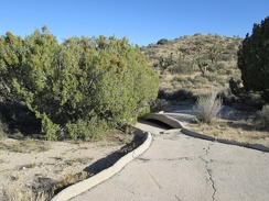 I check out this guzzler not too far away, curious as to whether it contains water or not
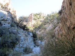 I like this canyon so far: a few more boulders to climb over ahead
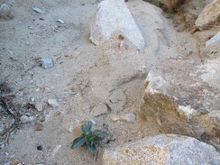 Before I start climb up the adjacent hillside, I notice what I think is a young Palmer's penstemon sprouting in the canyon floor
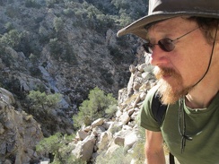 It's a short steep climb out of the canyon, but I'm not experiencing any vertigo yet, which is good!
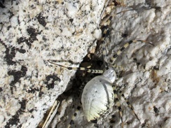 While climbing up the rocky hillside, I plow through a spider web by accident and have to brush this unusual spider off me
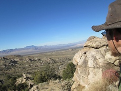 On top of this hill above the canyon, I now have a clear vista across Ivanpah Valley
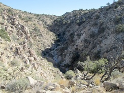 I like being up on my hill here, but there's more canyon down there for me to hike up
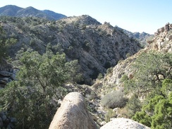 After 20 minutes of hiking near the ridge line, I still have nice views down into the canyon
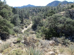 Once the canyon rises higher into a less rugged area, I decide to try continuing my hike in the canyon again
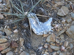 Oh, a balloon in a remote location where people never go!
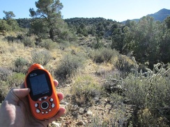 I'm now near my high point for the day (5000 feet elevation); Lecyr Spring should be not too far ahead
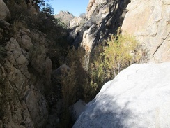 I enter the canyon, and some of it is really narrow, at least at first
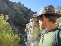 A narrow spot in the canyon, with willows growing in the canyon floor
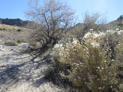 I think these old flowerheads in the wash are from last season's Cliff roses
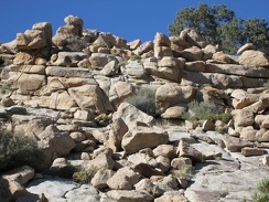 Rock piles along the wash attract my attention
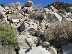 At the bottom of this pile of rocks is what I call the flat-foot rock toes
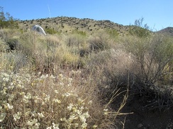 Nice, almost warm morning near Slaughterhouse Spring; I wake up baking in my tent around 8h30
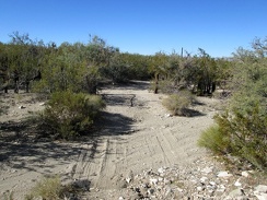 My first stop of the day is to see see what's at Slaughterhouse Spring
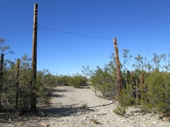 It was fun checking out Slaughterhouse Spring; time to continue up the old road on today's hike
 I pass a few buckwheat blossoms along the old road near Slaughterhouse Spring
 Looking back behind me, I have a view of the old Goldome mine buildings off in the distance on the other side of Ivanpah Rd
 The old road here that serves as part of today's hiking route rolls up and down, and is rocky in places
 Nice views down to Ivanpah Valley behind me as I hike up the old road
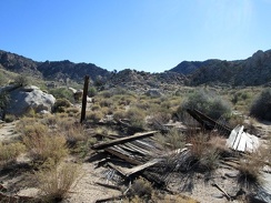 I run across some ruins on the way toward the canyon
 Nipton to Slaughterhouse Spring by bicycle, elevation profile
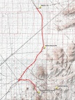 Nipton to Slaughterhouse Spring by bicycle, route
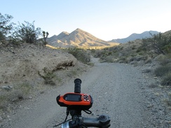 I decide I don't feeling like riding up Ivanpah Road any further and look for a campsite on adjacent Slaughterhouse Spring Road
 Fluffy post-flower residue along Slaughterhouse Road
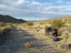 Almost a mile up Slaughterhouse Spring Road, I start looking for a campsite more seriously
 While setting up camp, a pickup truck drives by, not seeing me, and drives up the hill a bit (see the headlights at bottom-left)
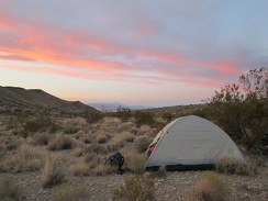 I didn't travel as far as hoped today, but I'm very happy camping here by Slaughterhouse Spring, now planning tomorrow's hike
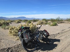 I take several short breaks along Nipton-Moore Road, enjoying the solitude and the plant life
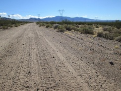 I don't pass any other vehicles while riding Nipton-Moore Road today, but it clearly does get some use
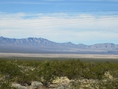 Against my will, I can't help but look across Ivanpah Valley to the Primm Brightsource solar plant under construction
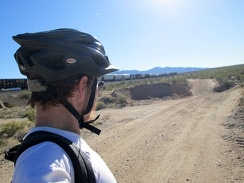 One of those long freight trains that crosses the Mojave Desert passes me on Nipton-Moore Road
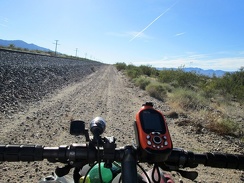 A jet-exhaust stream glides by effortlessly in the sky while I rattle along Nipton-Moore Road, hugging the train tracks
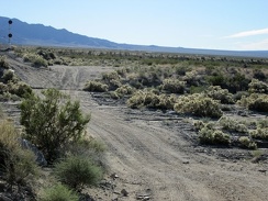 As a result of recent rains, Nipton-Moore Road has had recent washouts that have been freshly repaired
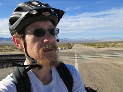 I arrive at the pavement of Ivanpah Road just after mile 10 and have over 3 miles of pavement ahead
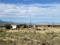 I ride past the old Ivanpah general store building, a landmark in this area
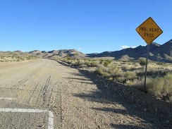 After more than 3 miles of pavement on Ivanpah Road, the pavement ends
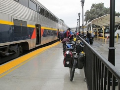 Yesterday, to get out here, I boarded the Amtrak train in Stockton, followed by an Amtrak bus to Primm, NV in the Mojave Desert
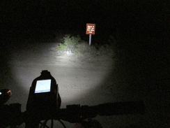 I considered staying at a Primm casino hotel last night, but they were full, so I rode 12 dark miles to Nipton and camped there
 Morning at Nipton is nice and sunny; the tent sits at the back of the cactus garden by some eucalyptus trees
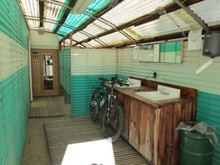 I recharge my cell phone and my headlight battery in the shower building before leaving Nipton
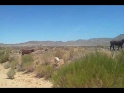 I stop to watch a cow and her calf as I ride up Black Canyon Road
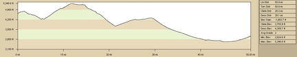 Elevation profile of bicycle route from Twin Buttes campsite to Nipton via Cima: Day 15
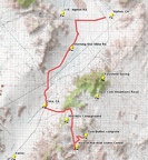 Bicycle route from Twin Buttes campsite to Nipton via Cima: Day 15
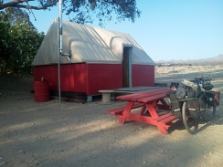 I decide to stay in one of the Nipton tent cabins tonight; I'll get up early tomorrow and ride to Primm to catch the Amtrak bus
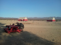 Just beyond my tent cabin at Nipton are a few others, but it's mostly quiet tonight
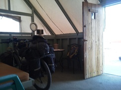 I park the 10-ton bike inside my tent cabin at Nipton, titled the Surveyor, and settle in for the night
 Just around the corner here, I've got 10 miles of downhill, and about 1300 feet of elevation loss!
 35 minutes later: after 10 miles of gliding downhill (and pedaling too), I arrive at the stop sign and turn left on Ivanpah Road
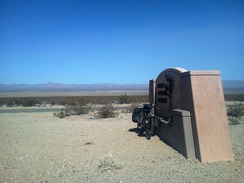 I exit Mojave National Preserve here, and am now headed over to Nipton, the village over there at the bottom of the mountains
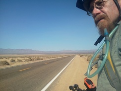 Riding Nipton Road, just a few more miles until I reach Nipton village over there
 I haven't had a flat tire yet on this trip, so I celebrate upon arriving at the Nipton store with a bottle of Fat Tire beer
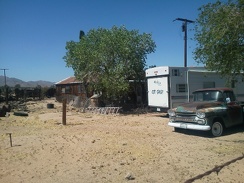 A residence and and old truck sit behind the Cima store, lost in time
 An old railway box car also sits next to the Cima store, with nowhere to go
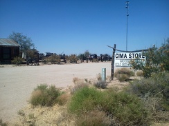 My break finished at the Cima store, it's time to hit the road again and ride on down the hill to Nipton: 25 miles ahead
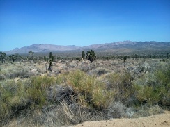 As I ride down Morning Star Mine Road away from Cima, I take in the views of the New York Mountains
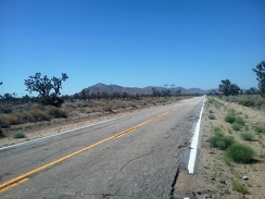 On upper Morning Star Mine Road, I'm heading toward the Ivanpah Mountains, with Kessler Peak at the left
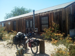 Well, the Cima store might be closed right now, but it's an interesting place to take a break nonetheless
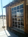 The board-and-batten structure of the old Cima store hasn't been whitewashed in a very long time
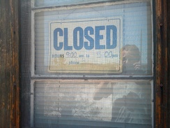 The Cima store is closed today, or at least right now; the hours posted are basically meaningless
 After a nice, fast downhill on Cedar Canyon Road, I arrive at the famous stop sign at Kelso-Cima Road
 I have almost five miles to ride up the gently rising Kelso-Cima Road until I reach Cima and the possibly open Cima store
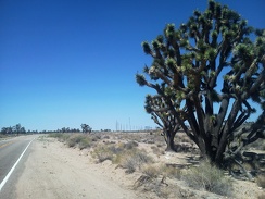 Oh, there's Cima just up ahead past that Joshua tree
 The rough washboard of upper Black Canyon Road prevents me from gaining any speed as I decend to the Cedar Canyon Road
 A jet flies overhead while I ride Cedar Canyon Road; the passengers note in unison that 'there's nothing down there'
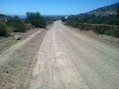 This stretch of Cedar Canyon Road is always slow and rough (but scenic) on a bicycle
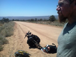 Once Cedar Canyon Road rises out of the canyon, I can see across to the Cima Dome area
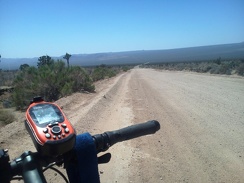 I have a 700-foot elevation drop ahead of me here on the west end of Cedar Canyon Road
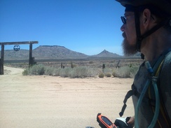 Also noteworthy on upper Black Canyon Road is the Gold Valley Ranch that I'm passing right now
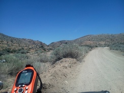 Upper Black Canyon Road narrows somewhat before it crosses through the pass ahead at just under 5350 feet elevation
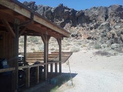 The 10-ton bike enjoys the rocky backdrop at Hole-in-the-Wall one last time while my cell phone recharges
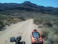 I've ridden Woods Wash Road quite a few times while camping here this past week; this is my final commute out of the area
 My first stop is the Hole-in-the-Wall Visitor Centre (again) to fill up on water; it's over 80F in the shade already
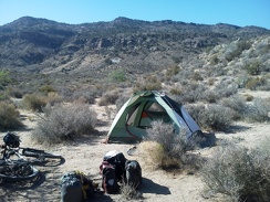 I've been at this great campsite by the Woods Mountains for a week now; this morning I pack up and leave
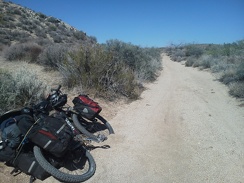 Everything is nicely packed up into my saddlebags and attached to the 10-ton bike
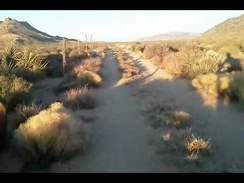 I ride home one last night on Woods Wash Rd after a stop at the Hole-in-the-Wall Visitor Centre to recharge my cell phone again
 Borrego Canyon hike route, Mojave National Preserve, elevation profile
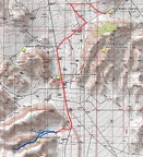 Borrego Canyon hike route, Mojave National Preserve
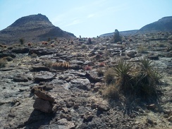 Lots of shiny volcanic-looking rock and barrel cacti love the heat here on this little Borrego Canyon mesa