Home 7119

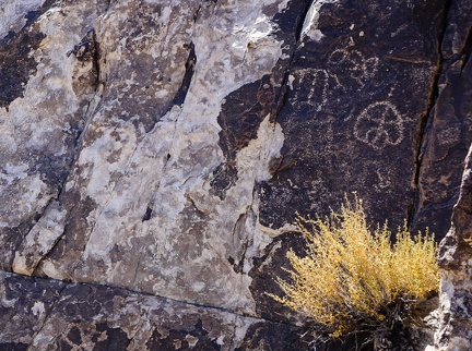 Petroglyphs and chipped rock
 A part on my rear rack breaks as I stop to look for a campsite along Woods Wash Road
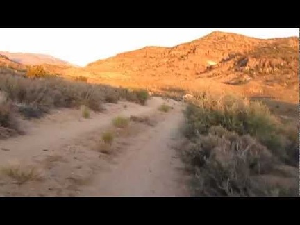 I ride along Woods Wash Road around sunset toward an as-yet-unknown campsite
 I take a break at Hole-in-the-Wall visitor centre to recharge my phone
 I try to keep up with a cow and a wild burro that I spot along Wild Horse Canyon Road
 I pause along Wild Horse Canyon Road to watch a cow trudge along in an adjacent wash
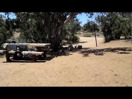 Laundry out to dry at Mid Hills Campground, Mojave National Preserve
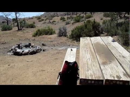 Ortlieb waterproof bicycle saddlebags make a great washing machine or ice bucket!
 I rinse my hair under a tap at Mid Hills Campground as part of breaking camp today
 I make it back to the Barnett Mine area at sunset, pick up the bicycle, and ride the 10 miles back to camp in dusk and dark
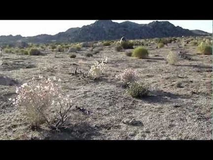 Paperbag bush glowing in the sun (Salazaria mexicana) high on the fan above Watson Wash
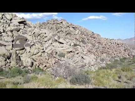 The big rock piles here above Watson Wash are even more impressive up close than they are from a distance
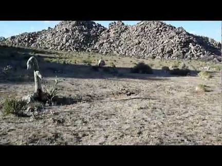 I keep hiking up the gentle slope, passing through another patch of burned desert above Black Diamond Spring
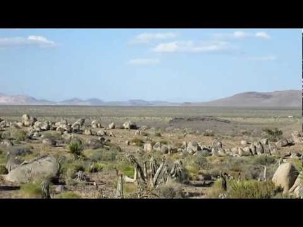 On the way up the fan, I look over to Keckiella Rocks, a small plateau of volcanic-looking rock
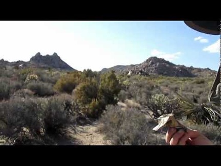 Energy-bar break above Watson Wash!
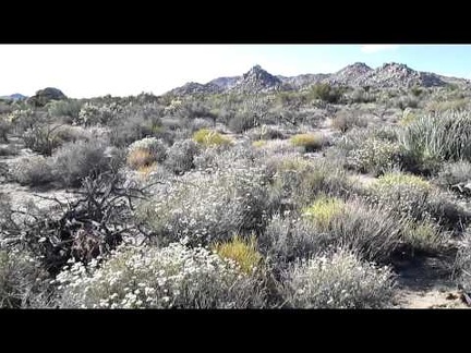 After a very short break at stinky Black Diamond Spring, I walk through an area full of white buckwheat flowers
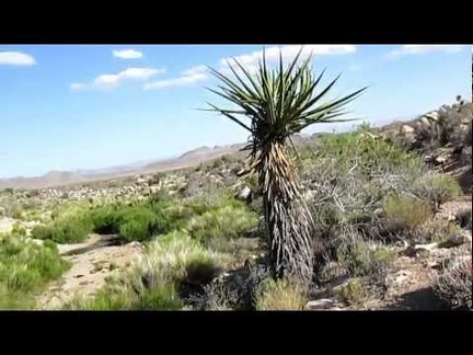 The animal trail ends at Black Diamond Spring, Mojave National Preserve, just as expected
 Follow the animal trail, follow the animal trail!
 I bet this animal trail leads to Black Diamond Spring!
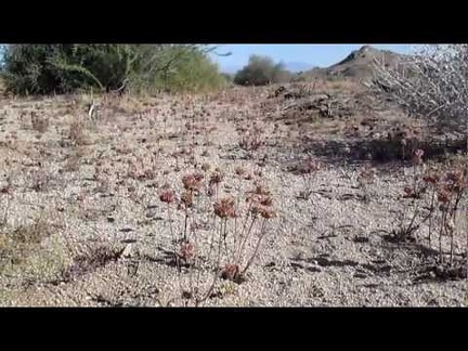 I like walking through some easy-to-miss chia sages in Upper Black Diamond Spring Valley
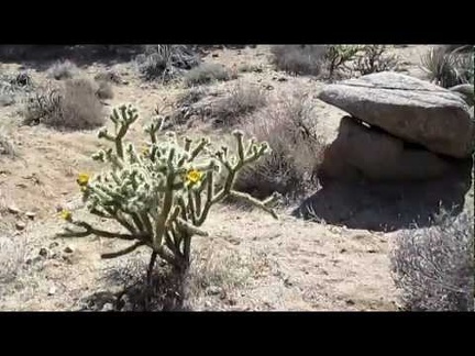 A lone juniper in Upper Black Diamond Spring Valley survived the 2005 brush fires here
 I decide to walk up to the top of the hill and see if it would be easy to walk down the other side
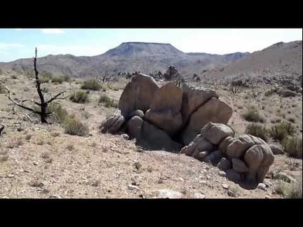 Time to explore a little: I climb up a hill behind the Barnett Mine and take a look at the panorama
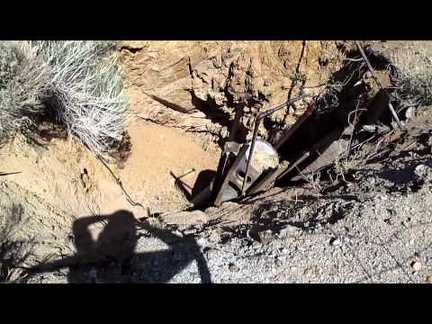 I go for a walk past one of the mine shafts at Barnett Mine
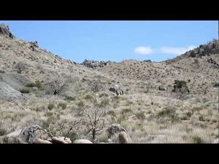 I start walking up the trail to the old mine site: I see people over there--amazing
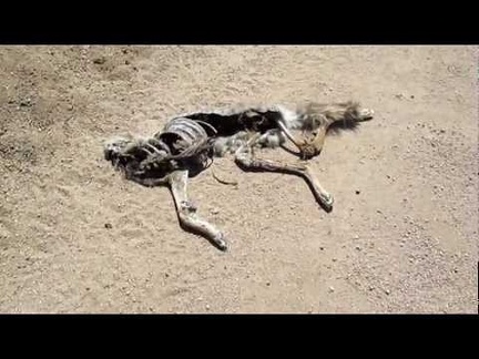 The dead coyote I passed on Cedar Canyon Road a few days ago is still there
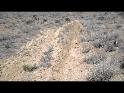 The short Black Canyon cut-off road is always a fun mountain-bike ride
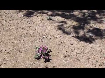 I spot a Desert four o'clock blooming in Round Valley under a tree on the Black Canyon Cut-off Road
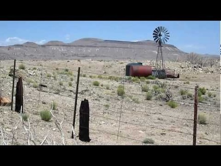 I ride past a windmill in Round Valley on Black Canyon Road
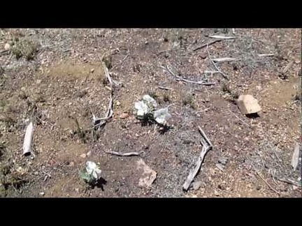 Primroses at my Mid Hills Campground campsite
 Another nice morning at Mid Hills campground, where I didn't expect to stop on this trip; time to plan an outing for the day
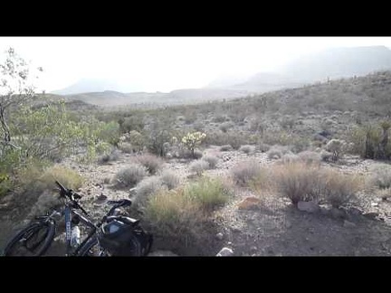 After my walk around the bottom of Grass Canyon, I ride a few miles down Black Canyon Road to the Cave Spring area and pull over
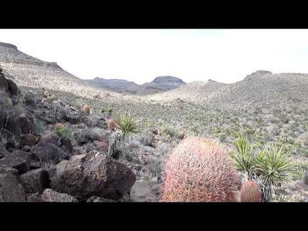 As I prowl around the hills here, I look over toward Grass Canyon, the next canyon over
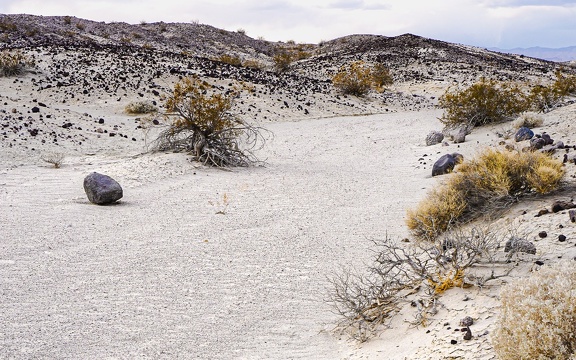 Rollin' down the river
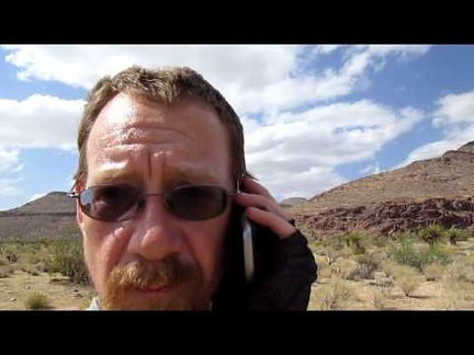 I try my cell phone here just south of Rustler Canyon and it works
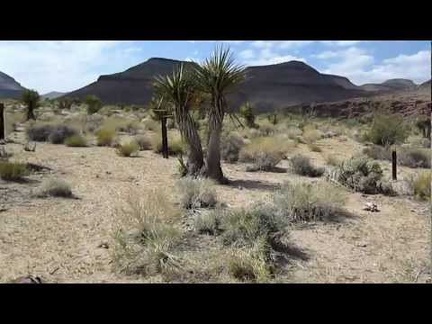 I reach the end of the dirt road, just south of Rustler Canyon, and park the bicycle
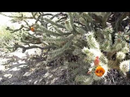 There are a couple of different types of Cholla cacti here in the area just south of Rustler Canyon
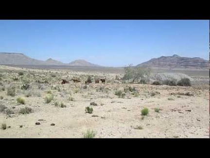 Water tank and windmill on Gold Valley Road, Mojave National Preserve
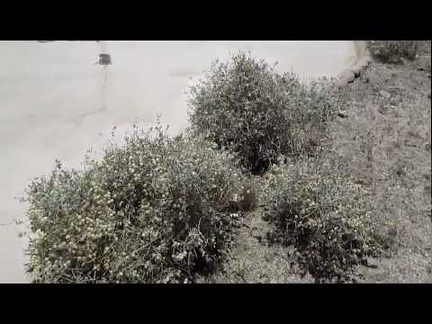 Guzzler and Paper-bag bush at the summit of Gold Valley Road, Mojave National Preserve
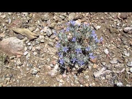 Small blue flowers along Gold Valley Road, Mojave National Preserve
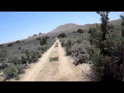 Here we go, riding down Gold Valley Road, Mojave National Preserve
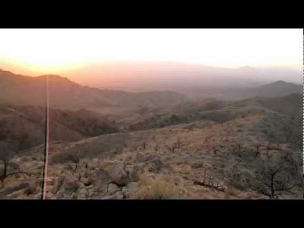 Lots of wind up here on Campground Peak North, overlooking Mid Hills campground, nice sunset
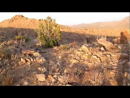 On the way over to North Campground Peak is another juniper tree that survived the 2005 brush fires here
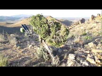 On South Campground Peak, Mid Hills Campground, I discover a couple of juniper trees that survived the 2005 brush fires here
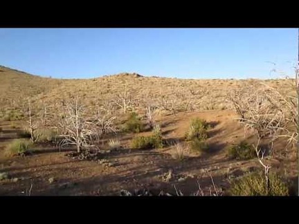 Just before sunset, I go for a short hike up to 'Campground Peaks' just east of Mid Hills Campground
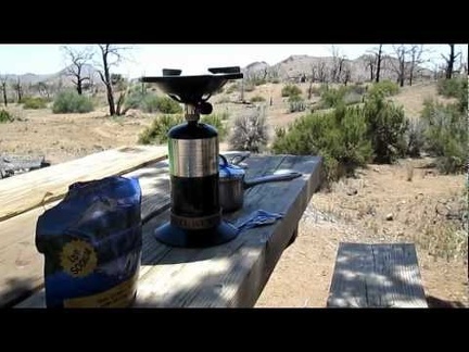 A nicely placed picnic table by a juniper tree makes for a semi-shady brunch at Mid Hills Campground
 Nice sunset (belt of Venus) on the way up the Black Canyon Cut-off Road: my final 5 uphill miles of the day will be in the dark
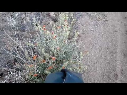 Riding (and walking the 10-ton bike) up the Black Canyon Cut-off Road as the sun goes down
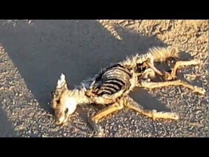 Dead coyote on Cedar Canyon Road, Mojave National Preserve
 The 10-ton bicycle rides down New York Mountains Road alongside Watson Wash toward Cedar Canyon Road
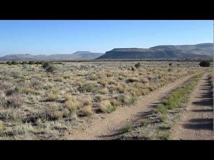 A gentle downhill begins as I start crossing the Watson Wash area on New York Mountains Road, Mojave National Preserve
 I arrive at the junction of New York Mountains Road and Carruthers Canyon, the first of two summits today
 Riding (and walking the 10-ton bike) up the Sagamore Cut-off Road, looking for shade under a Joshua tree
 Video snippet of riding the 10-ton bike through the Joshua tree forest on the Sagamore Cut-Off Road
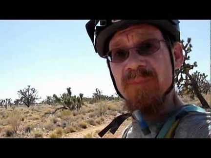 The 10-ton bicycle leaves Ivanpah Road for the Sagamore Cut-off Road
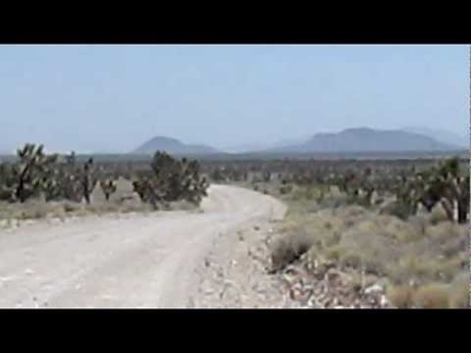 1.5 downhill miles on the old Mail Spring Road, then 3.5 miles down Ivanpah Rd into the Lanfair Valley
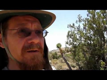 I make a last-minute decision to leave Mail Spring and ride to Mid Hills campground today (I was going to stay here another day)
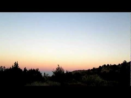 Beautiful silence: sunset near Mail Spring, another hot day comes to an end
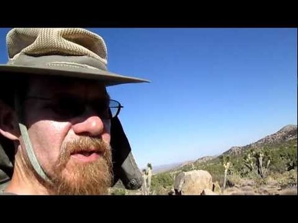 I hike across the New York Mountains foothills back to my tent, slowly, to preserve energy, Mojave National Preserve
 On the way back down Keystone Canyon, I notice a few Scarlet gilias blooming
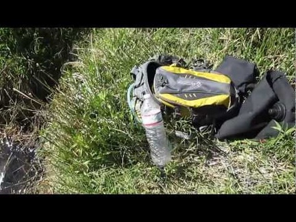 I filter water again at Keystone Spring, Mojave National Preserve
 Arriving Keystone Spring, Mojave National Preserve: water!
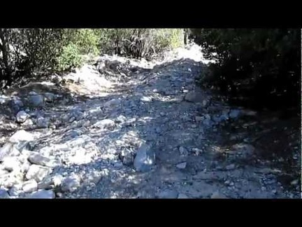 Hiking up the hill toward Keystone Spring, Mojave National Preserve
 Taking a break in the shade in Keystone Canyon, Mojave National Preserve.
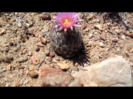 Pineapple cacti on the New York Mountains foothills, Mojave National Preserve
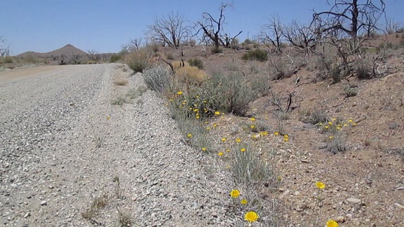 Desert marigolds along Wild Horse Canyon Road (I stay camped at Mid Hills Campground)
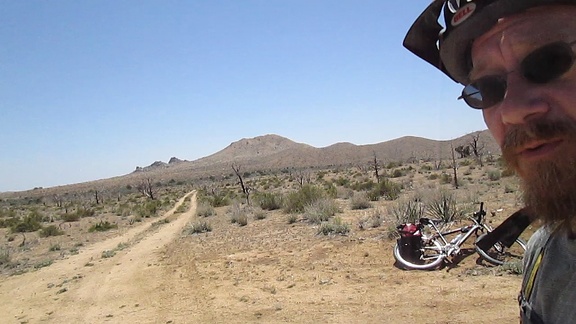 I leave Wild Horse Canyon Road and head down Gold Valley Road
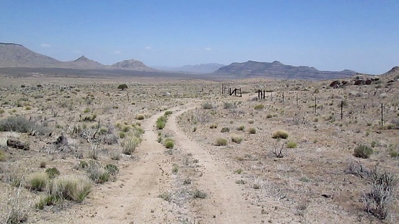 After some nice gentle rolling, Gold Valley Road passes through an old range fence into the next section
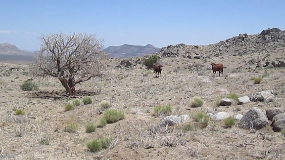 Cows graze by an old burned juniper tree in upper Gold Valley
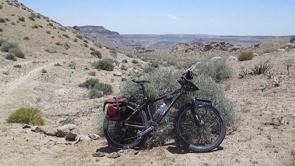 I pause at the summit of Gold Valley Road to enjoy the views before starting the downhill ahead
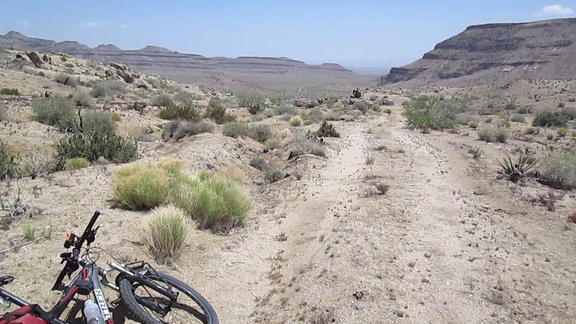 Gold Valley Road is rutted and downhill, essentially a perfect bicycle trail with no traffic
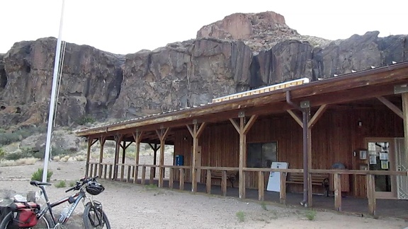 I take a break when I reach the Hole-in-the-Wall Visitor Centre, which is closed during the hot months except on Saturday
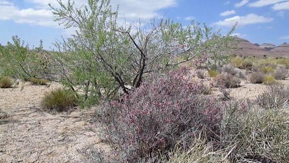 I decide to go for a short ride over to the Rustler Canyon area and explore a few roads I've not taken before
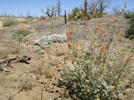 I go for a short walk around Mid Hills campground and notice there are still a few flowers blooming, such as this Desert mallow
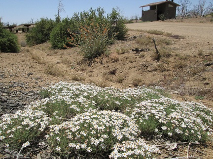 I think this is a kind of fleabane growing by the road at Mid Hills Campground
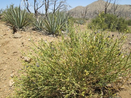 Turpentine broom in the foreground, Banana yuccas in the middle, and Antelope brush behind that
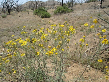 Several types of yellow flowers grow in the Mid Hills campground area and a few of them are still blooming today
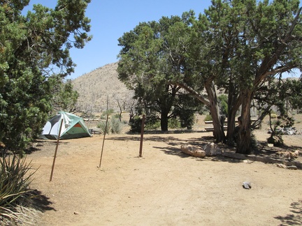 My campsite at Mid Hills Campground is the one with no motor vehicle parked out front
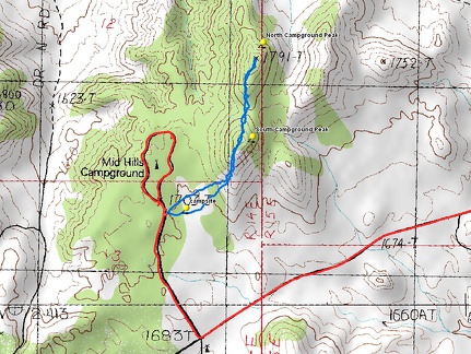 Campground Peaks hiking route (in blue)
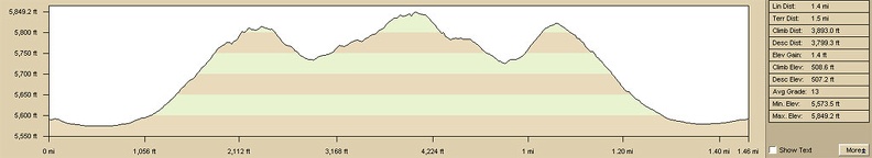 Campground Peaks hiking route elevation profile
 Desert holly bushes attempt camouflage amidst white rock scatter
 Desert rock garden, after the snow
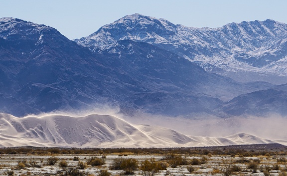 Snow up above, sand down below, at Eureka Dunes
 Mining debris in snow
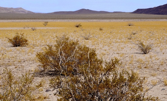 Enjoying desert gold as the mud flats go dry
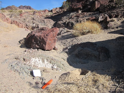 First order of this sunny morning is to dig a desert cat hole since I don't have access to a toilet out here!
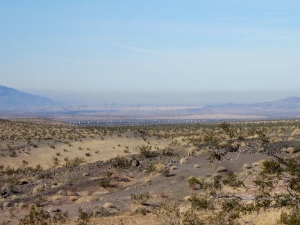 From my campsite on the Sleeping Beauty foothills, I can zoom in on a long freight train down by the freeway
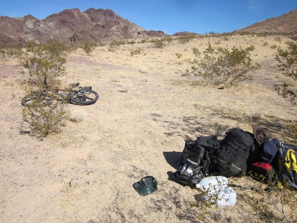 I'm almost finished packing up the tent and its contents; good-bye Sleeping Beauty!
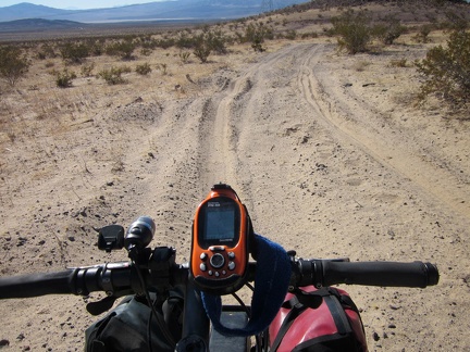 All packed up, I start riding down the hill away from my Sleeping Beauty campsite
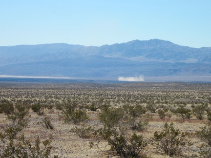 Off in the distance below, a puff of dust hovers
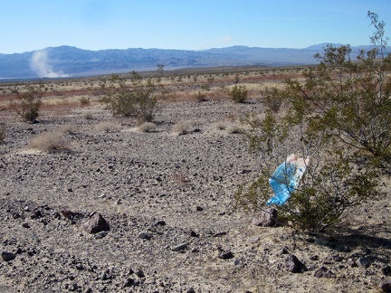 Oh, a stray balloon on the side of the road leading down from Sleeping Beauty!
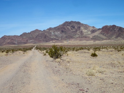 I'm just far enough down the dirt road now to have a panoramic view of the Sleeping Beauty peaks behind me
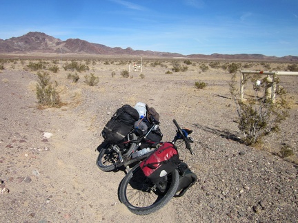 Sleeping Beauty road crosses a gas pipeline
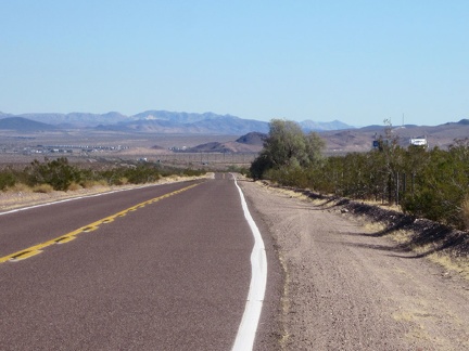 After 2 miles of dirt road from Sleeping Beauty, I ride 8 miles, mostly a bit downhill, to Ludlow, for lunch on old Route 66
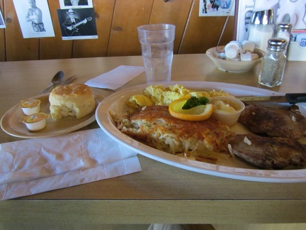 After 10 easy bicycle miles, I reach the Ludlow Café and have one of their famous breakfast plates
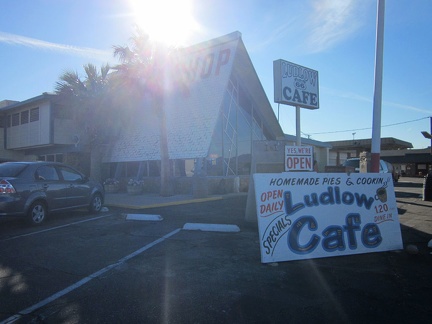 Full belly, I leave the Ludlow Café and head down the nearby dirt road toward Kelso Dunes Wilderness
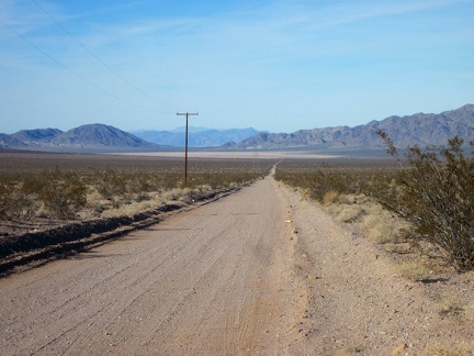 I slowly ride along Crucero Road toward Broadwell Dry Lake, a slight downhill
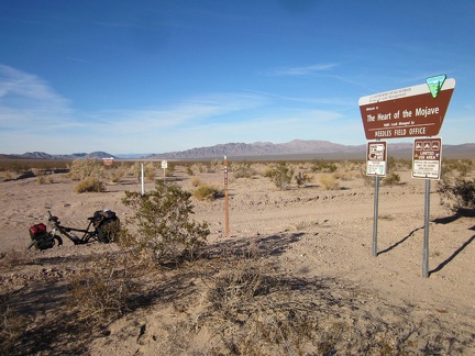 On the way down to Broadwell Dry Lake, I stop briefly at the junction of a powerline road that leads into the Bristol Mountains
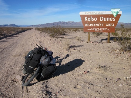 Also along Crucero Road is this BLM Kelso Dunes Wilderness sign
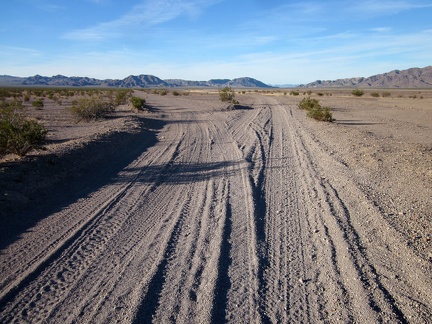 When Crucero Road reaches Broadwell Dry Lake, it forks to make two separate northbound roads
 An old sign announcing a proposed toxic waste dump here at Broadwell Dry Lake has been appropriately well shot-up
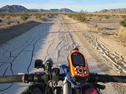 The clay soil on Crucero Road as it skirts the shore of Broadwell Dry Lake has big cracks
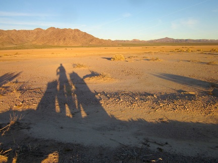 With sunset approaching in half an hour or so, I'm starting to cast nice long shadows on the edge of Broadwell Dry Lake
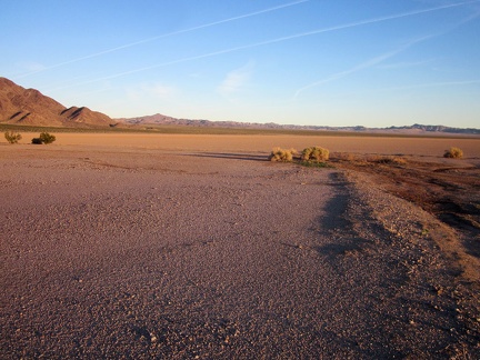 Broadwell Dry Lake at sunset
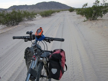 Crucero Road north of Broadwell Dry Lake gets a bit sandy again
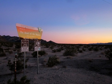 As the sun disappears, I ride past another BLM Heart-of-Mojave sign at the junction of Crucero Road and the Cady Mtns powerline
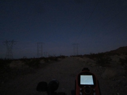 OK, it's getting dark for real; I'll ride a couple more miles on the powerline road while looking for a campsite
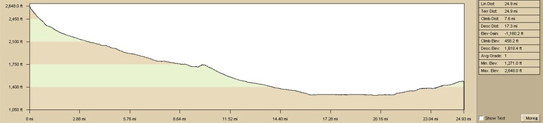 Elevation profile of Sleeping Beauty to Kelso Dunes Wilderness bicycle route
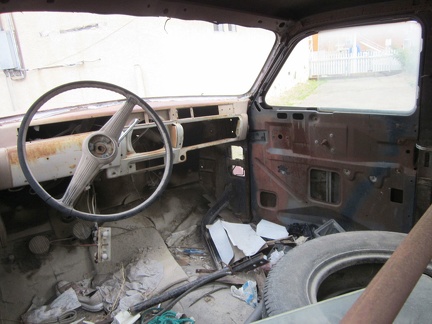 So what's in that old car in front of the Route 66 Motel anyway?
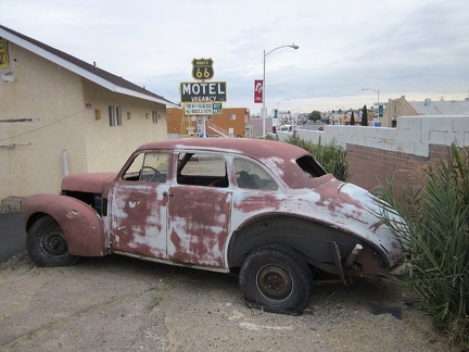 It's time to leave the gritty, but interesting Route 66 Motel in Barstow, CA and start another week of bicycle camping
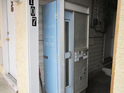 An old vending machine sits in an alcove between units at Barstow's Route 66 Motel
 OK, it's time; I pack up the 10-ton bike and leave the Route 66 Motel—I'll be in sleeping in a tent tonight; I can't wait
 I start by riding the two miles down Barstow's Main Street (Route 66) to the end of the east side of town
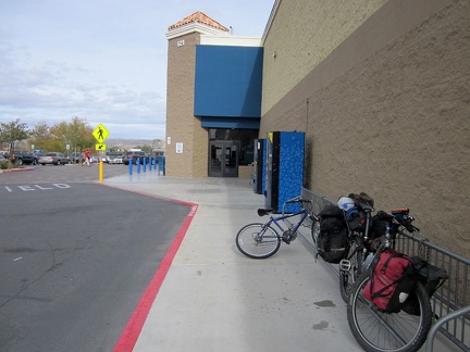 Before leaving Barstow, I stop at Walmart (a place I usually avoid) to buy a new Camelbak
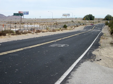 I leave Barstow eastbound on a frontage road and then ride the I-40 freeway for 2.5 miles to get past the naval base there
 I get off the I-40 freeway at the Nebo Street exit, turn left, then go under the freeway and rejoin old Route 66 eastbound
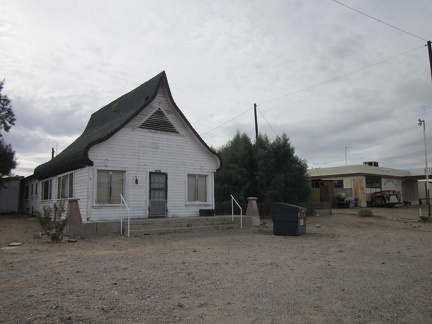 Old Route 66 passes through the interesting little village of Daggett, California
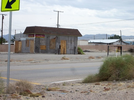 Daggett has numerous unused structures, such as this old gas station
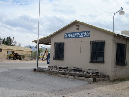 The Daggett post office is decorated with heavy bars on its windows
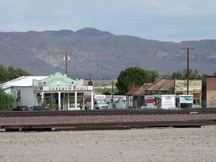 On the other side of the train tracks from Route 66 is Daggett's general store, the Desert Market
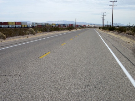 East of Daggett, one of several long cargo trains passes by
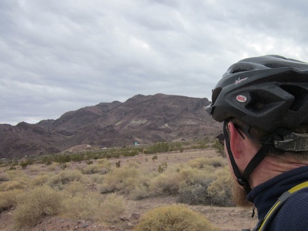 To my right, not far away, is the I-40 freeway, and just beyond that, the Newberry Mountains are now close by
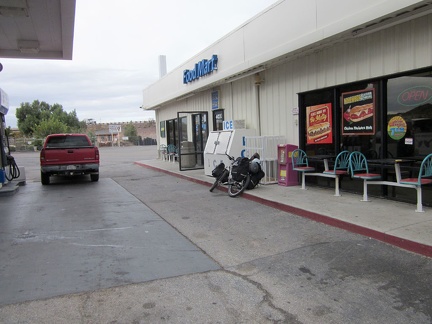 It's almost 2 pm; I've just passed under I-40 again on Rte 66 near Newberry Springs and here's a gas station
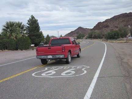 There's a bit of traffic on Route 66 in the Newberry Springs area
 The abandoned Henning Motel in Newberry Springs appeared in the famous Bagdad Café movie years ago
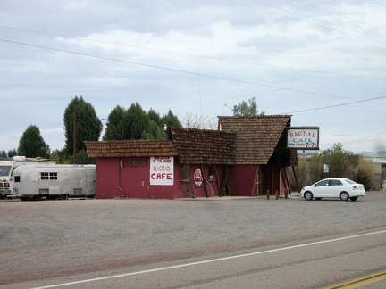 Next door is the famous Bagdad Café itself
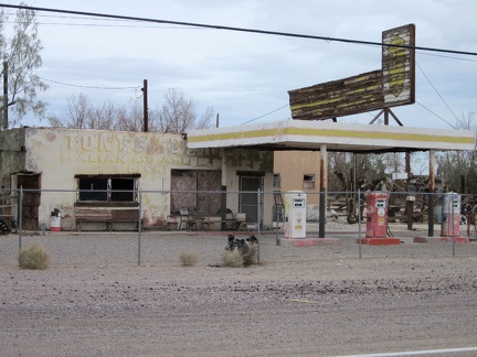 An old Italian restaurant and gas station sits in Newberry Springs behind a fence
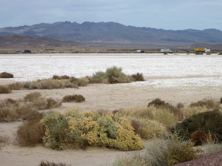 I stop to look across a dry lake on the east end of Newberry Springs toward the I-40 freeway on the opposite shore
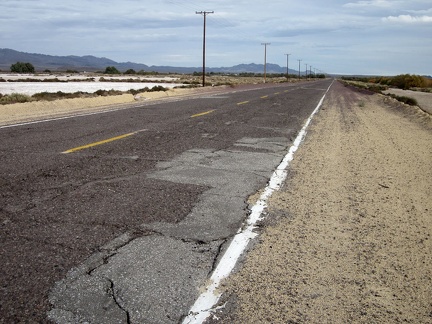 The worn-out pavement on old Route 66 makes for rather rough riding east of Newberry Springs
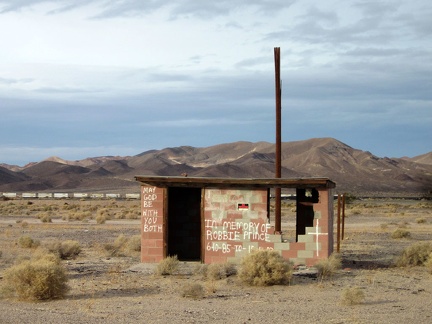 Some of the remaining structures along Route 66 east of Newberry Springs are deteriorated or no longer in use
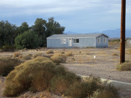 This prefabricated house in east Newberry Springs has no front steps
 Old motel sign east of Newberry Springs
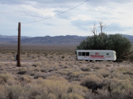 A different kind of no-trespassing sign: an entire trailer
 I ride up a gentle hill through the lava field area of old Route 66 east of Newberry Springs
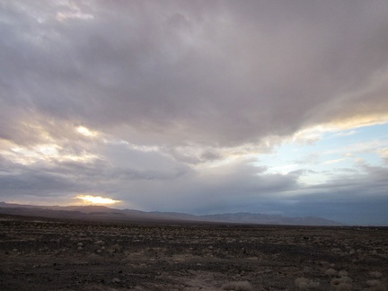 It has been cloudy most of the day, but a bit of sun is peering through the clouds as sunset approaches along old Route 66
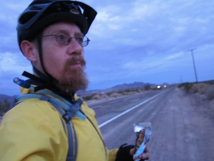 It's getting close to darkness here on Route 66 and my cheap camera is trying to compensate by turning everything blue
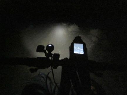 It has been dark for an hour now, and I'm finally on the dirt road off Route 66 leading up toward Sleeping Beauty mountain
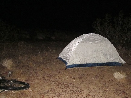 Tired when I get near the top of Sleeping Beauty road, I walk around in a fog for a while looking for a campsite not by the road
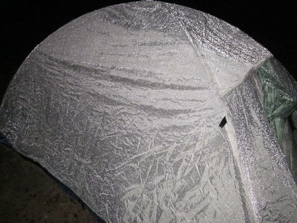 The rain on my tent makes it look metallic with the camera flash; the rain has stopped and it's time to go to sleep!
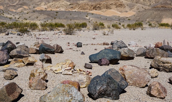 Rock assortment
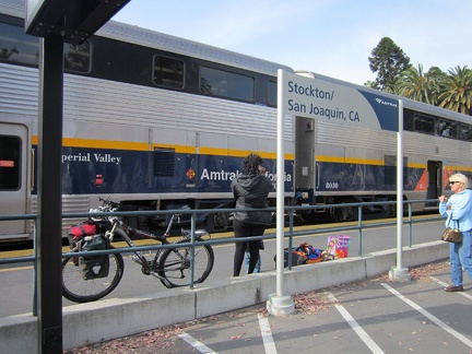 Yesterday, I boarded the Amtrak train with the 10-ton bike at Stockton, California, after a short Amtrak bus ride from San José
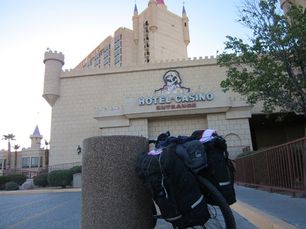 After the Amtrak train ride to Bakersfield, an Amtrak bus shuttled me to Primm, Nevada to start this bicycle-camping trip
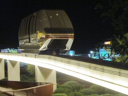 After settling in at my hotel room at Whiskey Pete's Casino, I ride the monorail across the freeway to the other two casinos
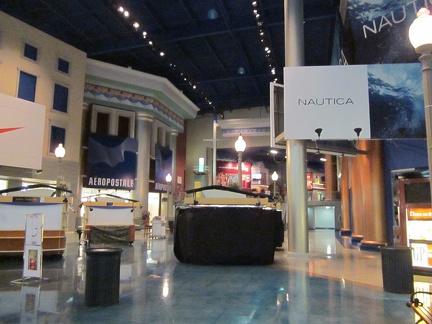 On the east side of the freeway at Primm, Nevada are two casino-hotels, and one is built with an interesting barn-like shape
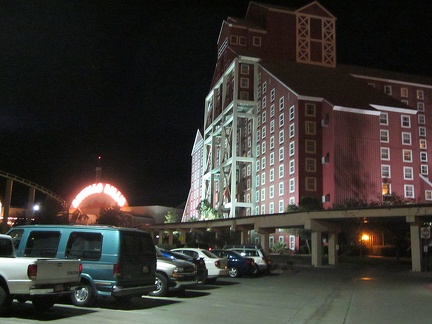 The shopping mall at Primm, Nevada is full of fake architecture evoking a real city, rather than the freeway exit that is Primm
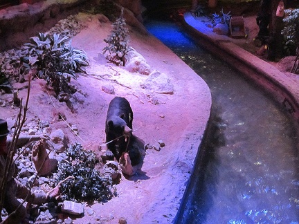 Also inside the Primm shopping-casino complex is a fake stream with fake wildlife
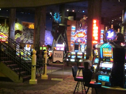 The casinos at Primm are quite a visual spectacle, with brilliant lights everywhere
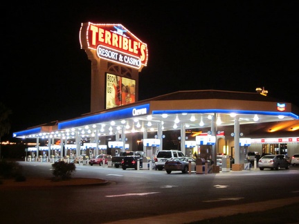 Outside the two high-rise casino-hotels at Primm, Nevada is a luxurious gas station with a bay for each vehicle filling up
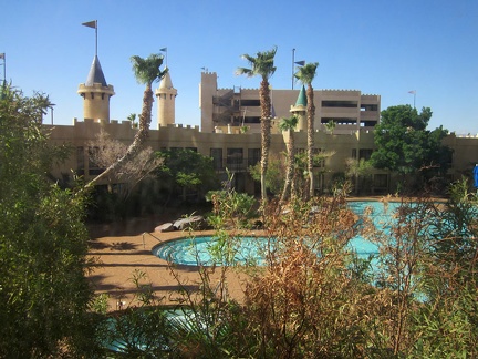 I wake up this morning at Primm, Nevada and peek outside across the swimming pool to a cool and extremely windy day
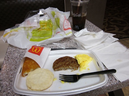 I eat breakfast at the McDonald's downstairs in the Whiskey Pete's casino; there's more garbage than food on my table
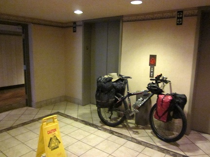 I pack up the 10-ton bike, and roll it out down the hall to the Whiskey Pete's elevator
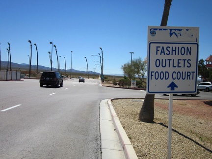 After escaping Whiskey Pete's, I begin the trip for real by riding through Primm toward the dirt roads that lead out of town
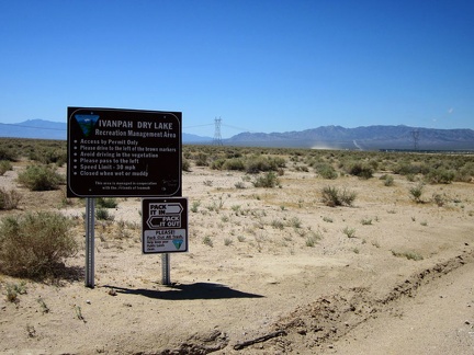 Just outside Primm is one of the entrances to the Ivanpah Dry Lake recreation area
 I take a look back at Primm as I leave town; I considered riding on the freeway for a smoother ride toward Nipton
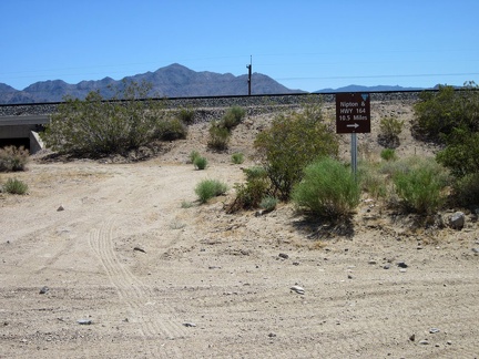 After 1.5 miles, my road ends at the train tracks; I make a right turn for the 10.5 mile ride to Nipton on Nipton-Desert Rd
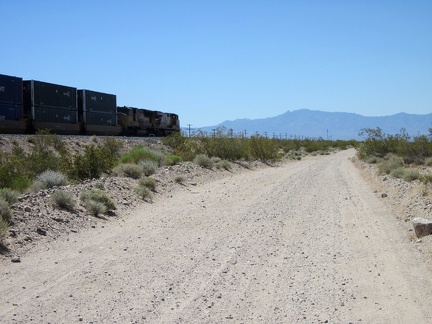 Soonafter, the first train of this trip passes me on bumpy Nipton-Desert Road
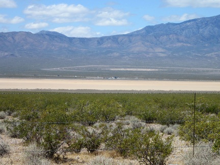 From Nipton-Desert Rd, I can see across Ivanpah Dry Lake to the huge BrightSource solar plant under construction
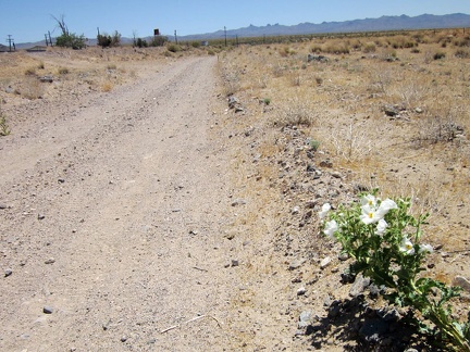 The bumpy Nipton-Desert Road is starting to give me a headache, so I'm happy to take a break by this prickly poppy
 This railway undercrossing along Nipton-Desert Road also serves as a road to the Lucy Gray Mine
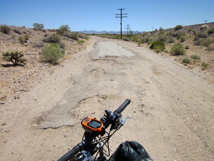 After about 6 miles of bumpy Nipton-Desert Road, I'm happy to reach the relative smoothness of some residual old pavement
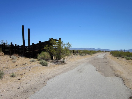 I pass an old corral on Nipton-Desert Road
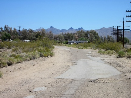 Approaching the tiny town of Nipton, California, population 20, with the Castle Peaks in the background
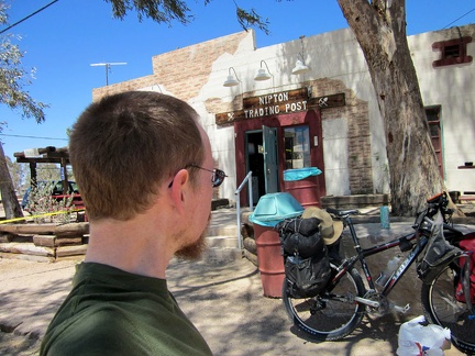 I take a break at the Nipton general store for chips and iced tea, and I fill my water supply to the max
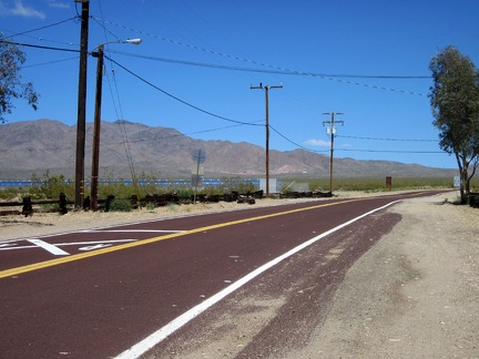 I glance at Nipton's little solar-power plant as I begin the ride up the hill toward Crescent Pass, Nevada
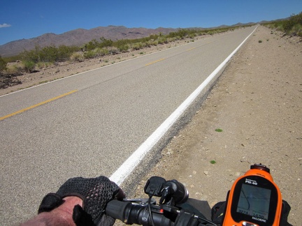 The four-mile climb up Nipton Road to Crescent Pass isn't too steep, but it does take some time pedaling in the lower gears
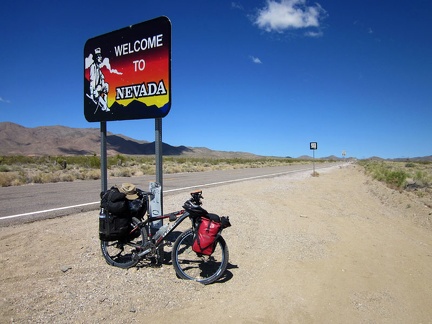 I always have to stop at the "Welcome to Nevada" sign whenever I pass by here
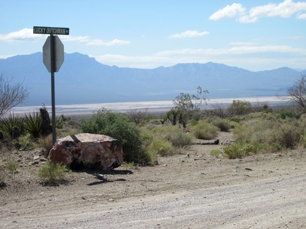 At the junction of Lucky Dutchman Road, I look back down into Ivanpah Valley and Ivanpah Dry Lake
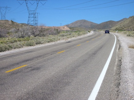 Approaching Crescent Pass, I ride under the power-transmission lines that I'll soon follow into the McCullough Mountains
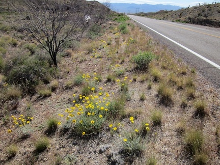 Also along the Highway 164 roadside are what I think are desert marigolds
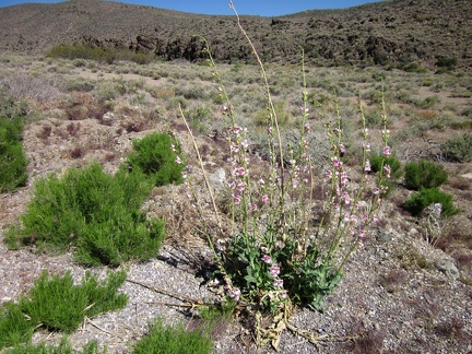 Palmer's penstemons are always nice to run across
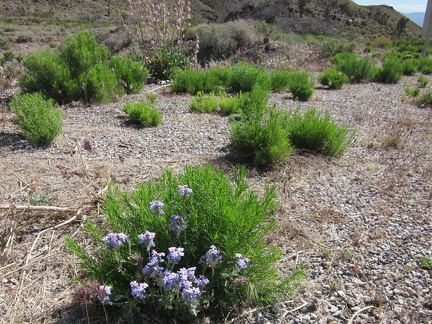 A Gooding's verbena blooms near a Palmer's penstemon along Highway 164
 A desert primrose is blooming here along Highway 164
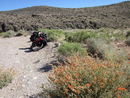 I start seeing a few wildflower blooms along Highway 164, so I pull over to walk around for a closer look
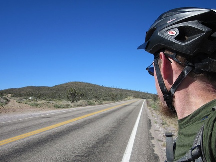 At the Crescent Pass summit, I see the little dirt road into the McCullough Mountains that I'll follow
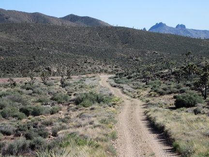 After a short distance, I turn back for my last view of the Castle Peaks before I disappear into the McCullough Mountains
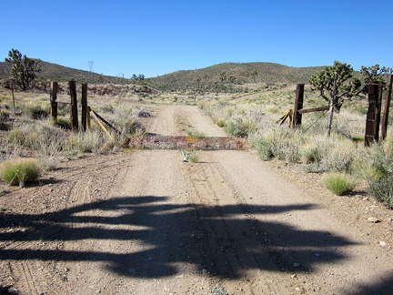 A cattle-guard marks my entry into the McCullough Mountains area
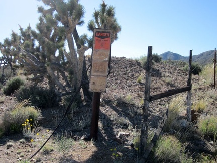 I pass an old mine site, clearly marked, and am tempted to stop to explore
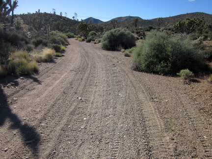 My nice firm road surface transforms into shallow "kitty litter" as the road passes through a wash area
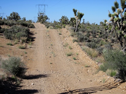 I'm happy when my gravelly road in the wash leads to the firmer ground of the McCullough Mountains powerline road
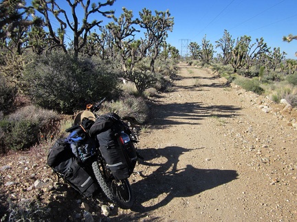 I pause on one of the many level stretches (in my direction of travel) along the McCullough Mountains powerline road
 I stop again to take in the views eastward across Nevada's scenic Wee Thump Joshua Tree Wilderness
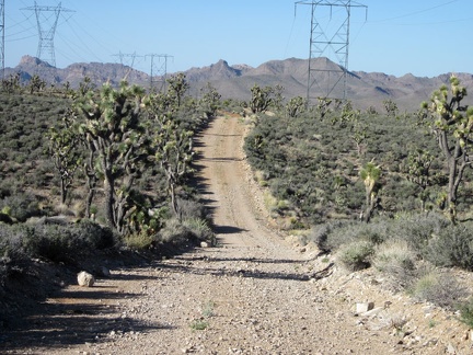 More fun rolling up and down (more down than up) along the powerline road on the southeast side of the McCullough Mountains
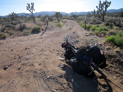 I take a short energy-bar break where I leave the powerline road for a lesser road heading toward the Pine Spring area
 Loose rock and an uphill grade require that I walk the 10-ton bike up parts of the road toward the Pine Spring area
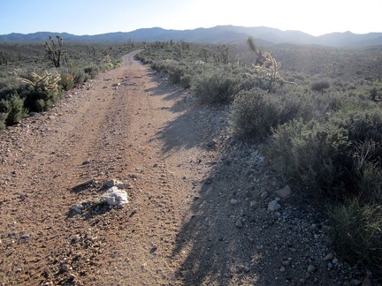 I remount the bike and pedal some more when I reach a less hilly part of the road heading toward the McCullough Mountains
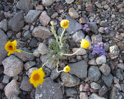 I haven't seen a lot of wildflowers in this area today, but here are a couple in the road to Pine Spring
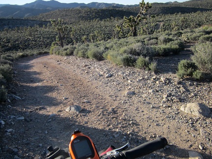 I make my final turn for the day onto a road that winds down and around a few low hills en-route to Pine Spring
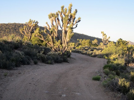 Joshua trees poke up above the shade line to collect the sunset light along Pine Spring Road, McCullough Mountains
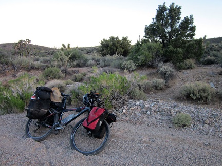 Pine Spring Rd gets sandier and is heading slightly uphill again, so I look for a campsite; I think I may have found one
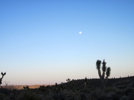 I set up my tent and enjoy the full moon that has risen before sunset
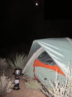 After darkness falls, I boil water under the full moon for the first add-water-to-bag meal of this trip
 Tonight's meal is Backpacker's Pantry Beef and Broccoli, really good, plus a bottle of Fat Tire beer that I picked up at Nipton
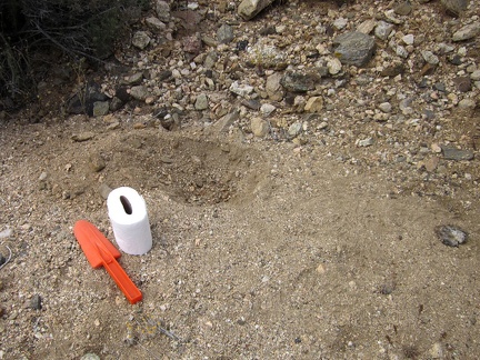 One nice thing about my Pine Spring campsite is a little sandy drainage area near my tent, perfect for a cat hole
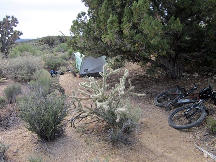 Waking up after the first night of a camping trip is always special; I've finally arrived. It was chilly overnight and I'm feeling exhausted from yesterday. I was so tired that I didn't wake up once during the night. It always takes a few days to build u
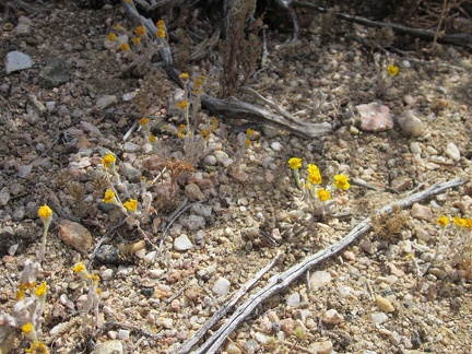 Gold flowers growing in the gravel near my tent, which I think at first are goldfields (Lasthenia californica)
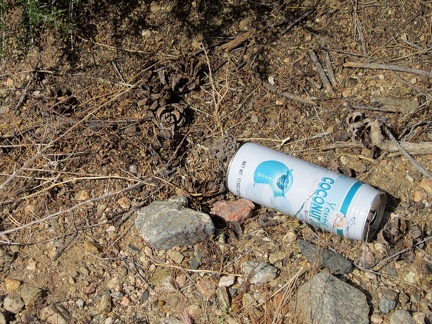 I start today's hike after a slow breakfast and notice an old coconut-juice can by Pine Spring Road
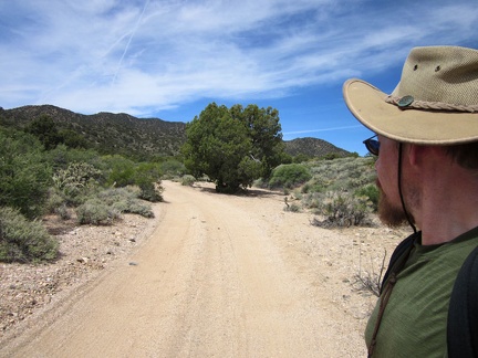 My energy is really low this morning as I start walking up the road toward the McCullough Mountains
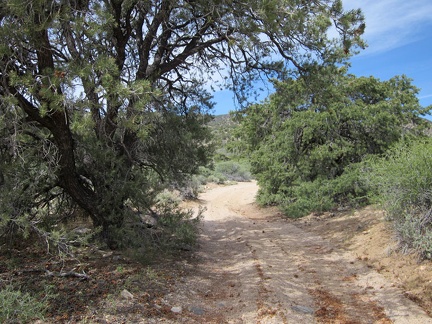 There are also a few old pinyon pine trees along Pine Spring Rd: not a surprise given the name of this place
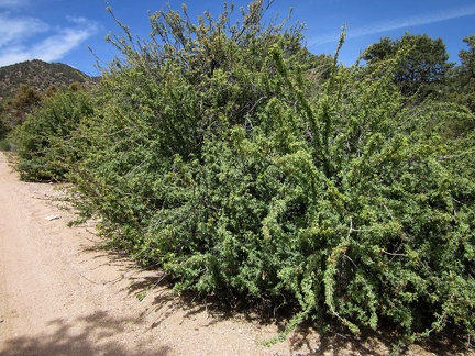 A few healthy barberry bushes grow along Pine Spring Road
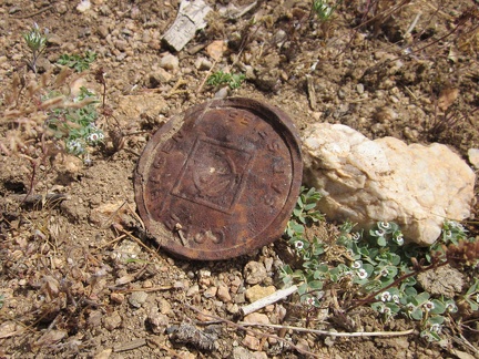 I must be near Pine Spring; here's an old rusty tobacco can lid