Home 7119

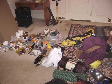 My pile of supplies and gear dumped in the spare bedroom the night before leaving home
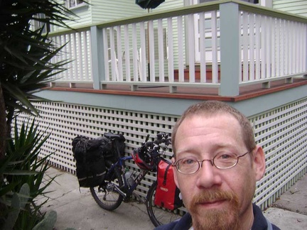 The 10-ton bike and I are ready to leave downtown San José and head to Mojave National Preserve again!
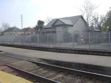 Across the tracks from the Stockton Amtrak station is an old house that looks abandoned, but isn't
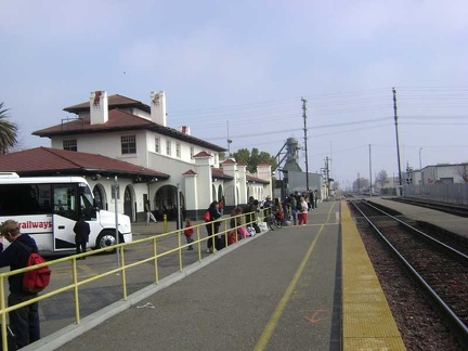 My Amtrak bus out of San José leaves me at Stockton, where I transfer to an Amtrak train to Bakersfield
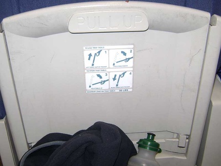 I spend 4.5 hours on the Amtrak San Joaquin train, occasionally staring at the tray-table instructions in front of me
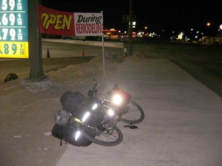 The Amtrak bus leaves me at Baker, California at around 20h30, gateway to Mojave National Preserve
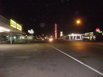 After checking in at Baker's Royal Hawaiian Motel for Xmas Eve, I walk back up the road to get a meal at the Mad Greek
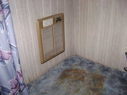 The Royal Hawaiian Motel is the cheapest motel in Baker, and for good reason (at $49/night it's not exactly cheap, however)
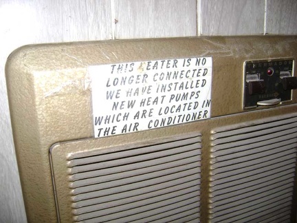 Even the message telling the visitor that this heater is no longer in use appears to be many years old
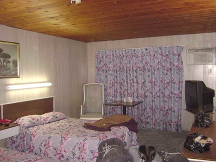 Overview of my room at the Royal Hawaiian Motel
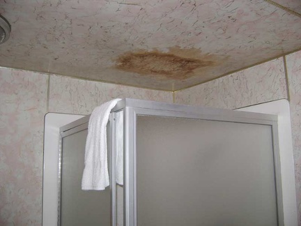 The stained ceiling in the bathroom tells a story of a shower in the room above that leaked
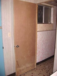 The particle-board door on the bathroom has never been painted
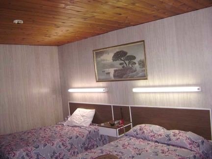 Fluorescent bulbs above the beds (and almost everywhere else) create a retro 1970s fashion
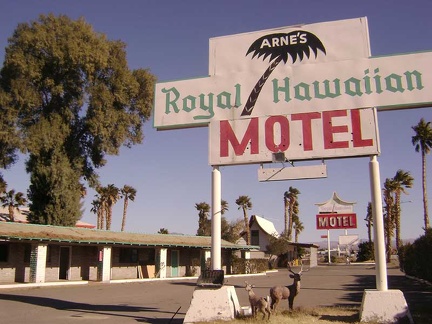 Leaving the Royal Hawaiian Motel in Baker to start my Mojave National Preserve trip
 Damage to the corner of one of the motel units
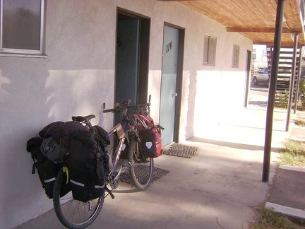 The 10-ton bike is packed up and ready to go to Mojave National Preserve on Xmas day
 Baker's "world's tallest thermometer" says that it's 50 degrees F this morning
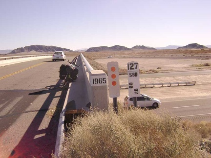 Leaving Baker on Kelbaker Road and crossing the Interstate 15 freeway to enter Mojave National Preserve
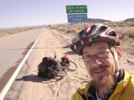 Freeway traffic behind me now, I enter Mojave National Preserve
 The first ten miles of Kelbaker Road into Mojave National Preserve out of Baker looks flat, but it actually climbs 1000 feet
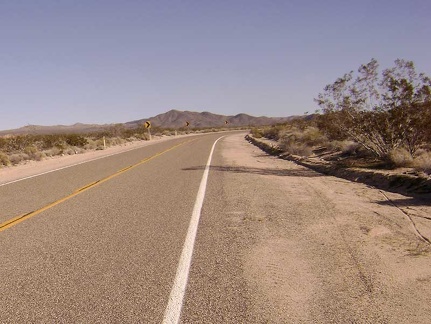 After ten miles, Kelbaker Road bends sharply away from civilization
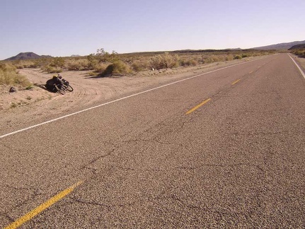 After 13 miles, I reach the little dirt road to Indian Springs and turn off here
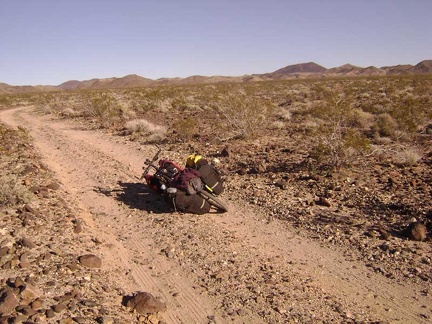 Indian Springs Road: the road surface is a bit rough and rocky
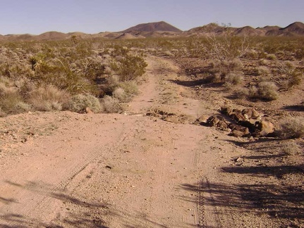 A drainage rut across Indian Springs Road
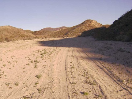 After about three miles, Indian Springs Road turns toward the hills up a sandy wash
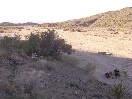 About a quarter mile before the end of Indian Springs Road, I notice a fire ring and a possible campsite
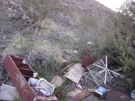 An ugly pile of debris sits on the hillside just above my chosen campsite near Indian Springs
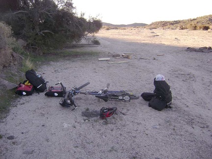 I begin dismantling my rig and setting up camp
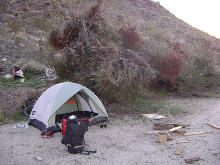 Camp is set up near Indian Springs!
 With an hour of daylight left, I walk up to the end of Indian Springs Road to explore a little
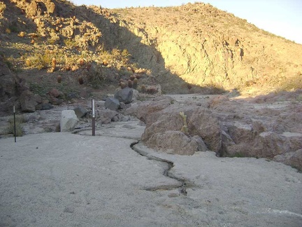 Wow, there's a trickle of water here at Indian Springs
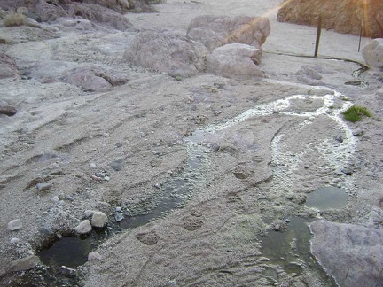 There's just enough water at Indian Springs that I'll be able to use my water filter to get extra drinking water here tomorrow
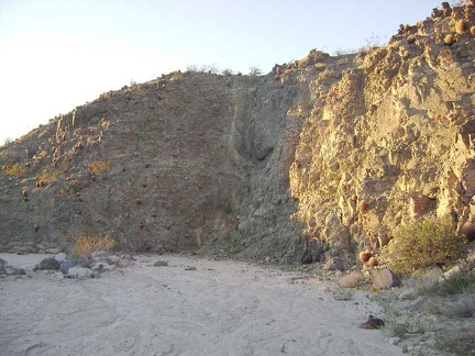 I continue walking up the Indian Springs wash in the glow of the setting sun
 Indian Springs wash enters a small narrows
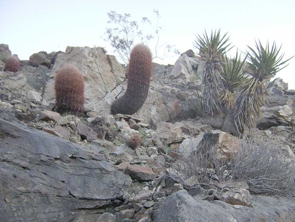 There are a lot of barrel cacti on the surrounding hillsides, which isn't apparent at a distance
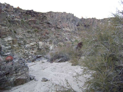 A little further beyond Indian Springs, I notice a side wash that looks interesting
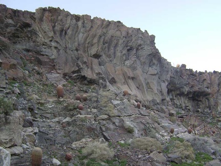 This rock formation immediately catches my attention
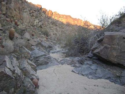 This side wash near Indian Springs gets narrower
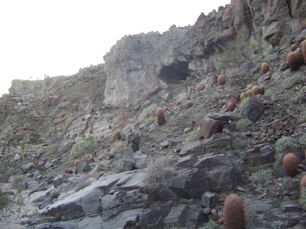 I notice a little cave up on the hillside on the way out of the side wash
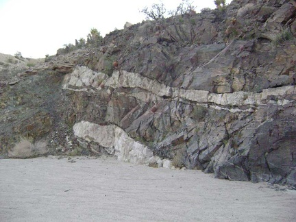 Rock layers in Indian Springs wash
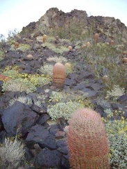 Hillside cactus garden at Indian Springs, Mojave National Preserve
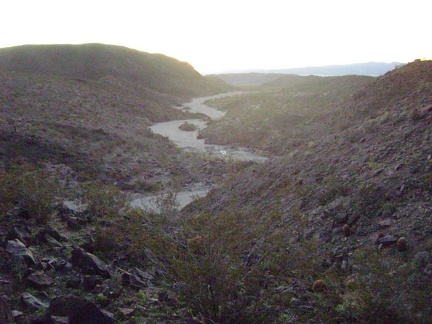 Looking back down the Indian Springs wash toward my campsite
 Barrel cacti catching the last light of day on the hill above Indian Springs
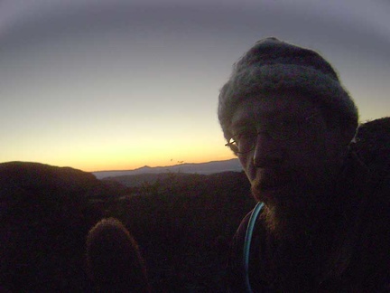 The sun sets on me at Indian Springs
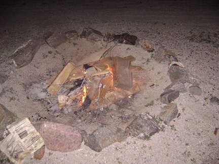 After supper, at 21h50, it's time to start my Indian Springs Xmas campfire
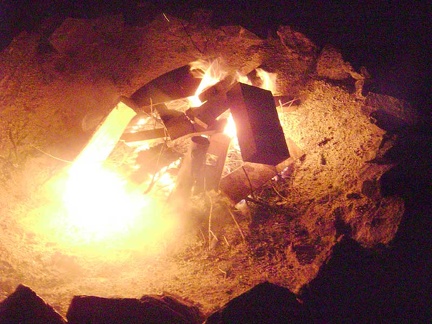 Woohoo, the fire is starting to burn!
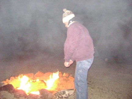 Trying to warm up in front of the fire
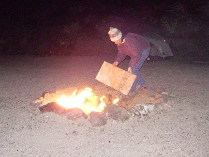 I add another piece of junk plywood to the fire
 The fire is burning nicely, but it's getting late, so I'm thinking about letting it die down and retreating to my tent
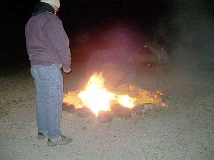 The heat feels great, but it's time to let the fire burn out and prepare for sleeping
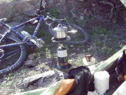 Late-morning coffee and breakfast (brunch, really). It was cold last night and I didn't sleep so well, and then I slept in late
 After breakfast, I dig a cat hole up on the hillside above Indian Springs Road
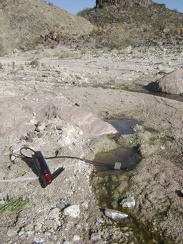 I pack a day bag and start today's hike by walking 1/4 mile up to Indian Springs to filter the day's drinking water
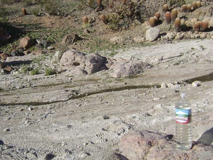 I refill my two-litre Camelbak and an empty 1.5-litre bottle with water from Indian Springs
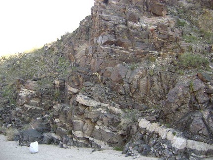 With no set destination, I start walking up the wash past Indian Springs and notice some intriguing rock layers
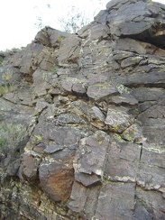 The colourful yellow lichen on these rocks is quite painterly
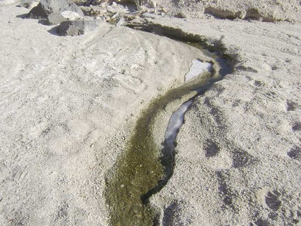 A little further up Indian Springs wash, I come across another seep and a bit of ice that today's sun hasn't reached, and melted
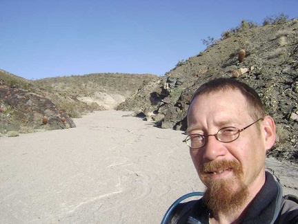 I continue up Indian Springs wash
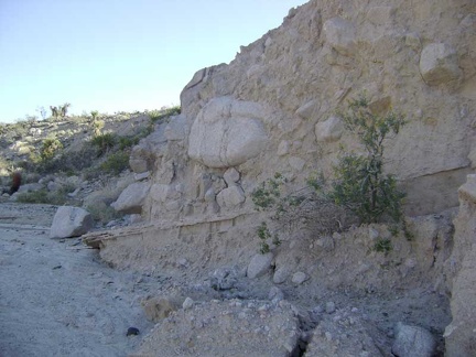 More cool rock layering effects
 Erosion along the walls of Indian Springs wash
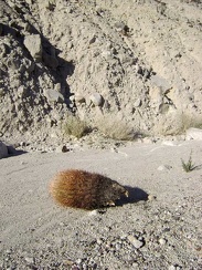 Poor little cactus!
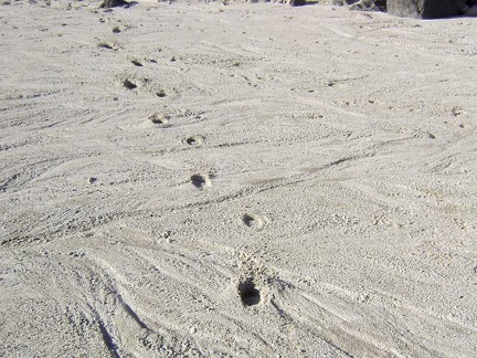 I'm seeing animal tracks all over the place
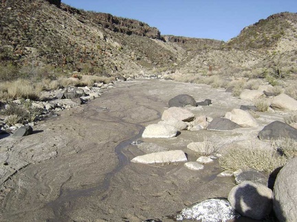 Another trickle of water
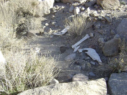 The wash forks and gets narrower, then I stumble across these bones
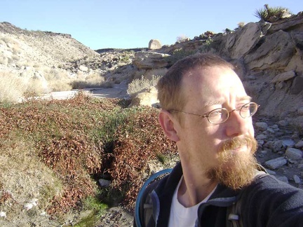 I think I'm at Cane Spring, but maybe not; Cane Spring might be over in the next wash
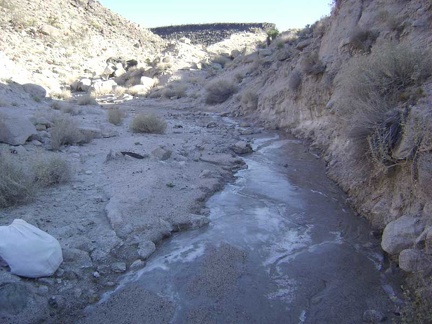 Just beyond Cane Spring, I come across more surface ice
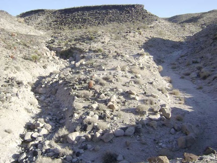 Another one of many splits in the wash
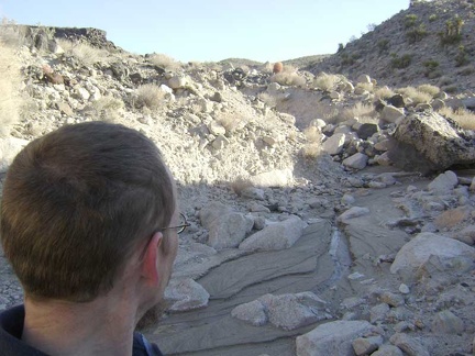 Randomly, I decide to head up the rocky right fork
 More eroded walls in the wash
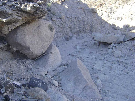 "Painted-dot" rock
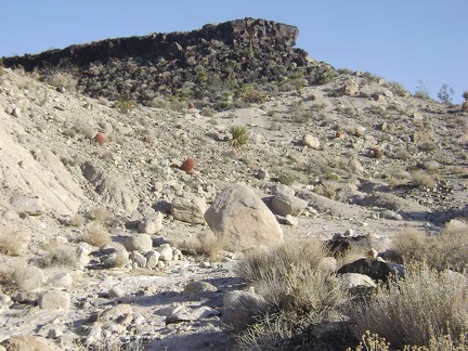 The tip of one of the old lava flows lies a short distance ahead
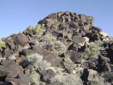 Approaching the base of the lava flow from the knoll that it rests on
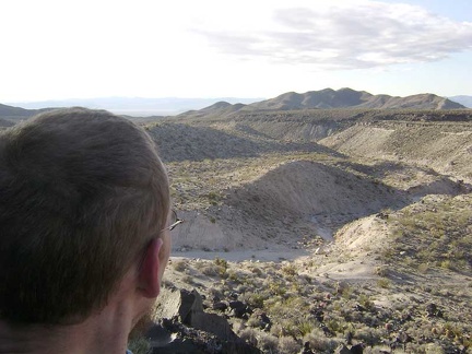 I make it almost to the top of the lava and am taking in the excellent views across the Indian Springs area
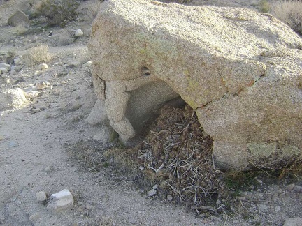 I climb back down to the wash below
 I feel like taking a different route back to camp, instead of returning the same way I came
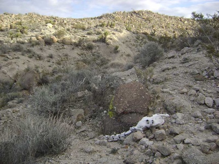 I start walking up the low ridge to the west of me to get an overview of the area
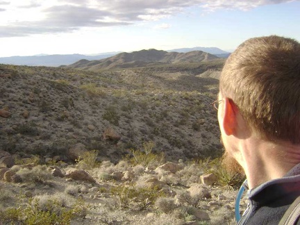 At the top of this low ridge, I contemplate my next steps
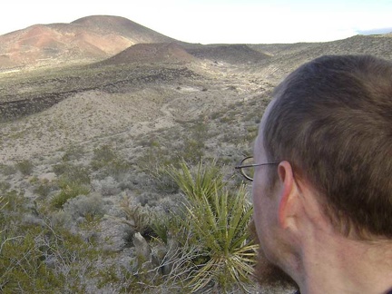 Behind me is one of the cinder cones for which this area is well-known
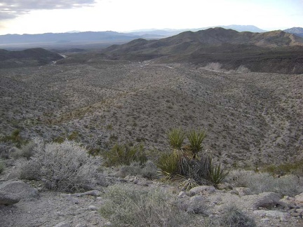 Further along atop the next hump
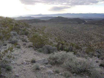 Looking to the northwest, I can see another wash that looks like it drains toward Indian Springs
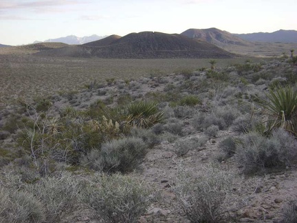 I'm partially descending the back (south) side of the ridge to avoid the cold wind on the ridgetop
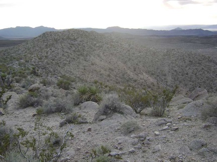 Heading back up to the ridgetop for a moment
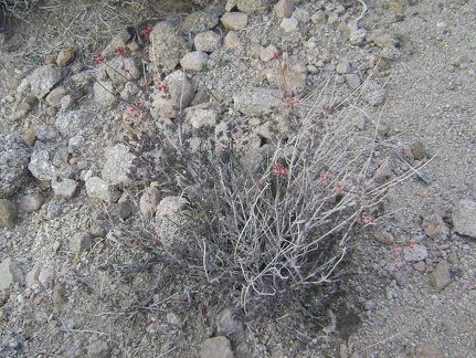 I keep seeing these diminutive buckwheat-like plants
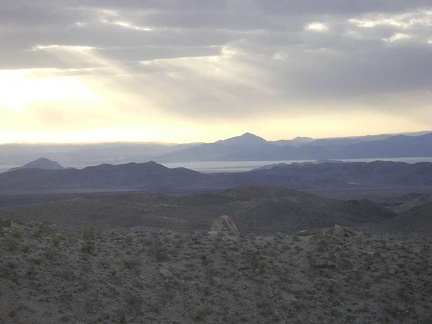 Great views across to Soda Lake from the ridgetop
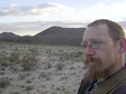 So it's down the back side of the ridge again for a short distance to avoid the wind
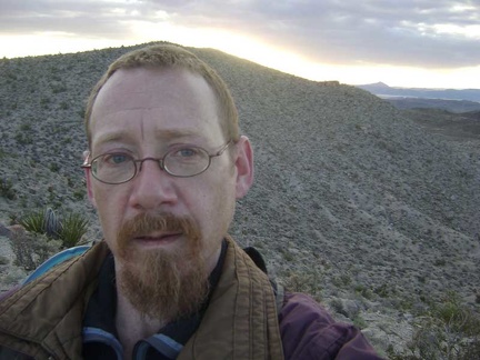 OK, back up the hill a little again
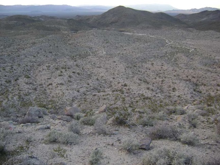 Nice views, but there's a really steep drop between here and that wash down there
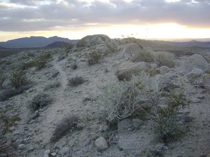 This must be an animal trail along the ridge
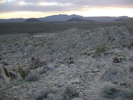 Ah! Just beyond the end of the animal trail, I spot a wash worth aiming for on the valley floor
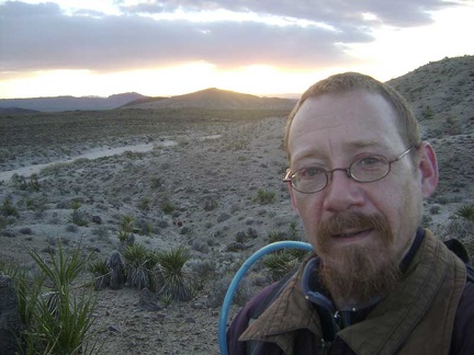 Almost down at my chosen wash!
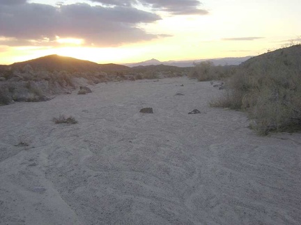 Now that I'm in the wash, I just have to follow it all the way down to Indian Springs Road
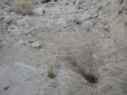 A big hole dug by an animal in a quest for water
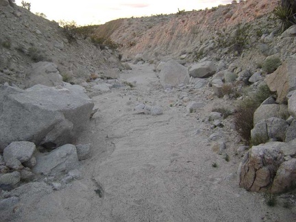 Faint pink light in the wash
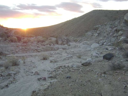 Sunset near Eyeball Rock
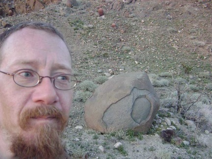 A quick stop at "Eyeball Rock," as I've decided to call it, for a photo break
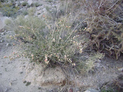 Desert mallow
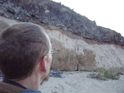 Yet more neato rock layering effects
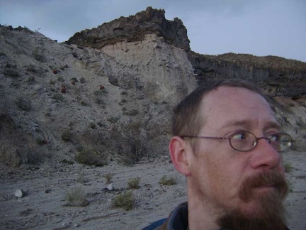 Dusk is closing in here in Eyeball Rock Wash
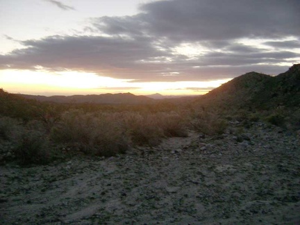 Where am I?
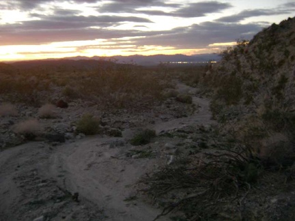 OK, I admit it--I'm lost, but not totally
 I nervously hike cross-country by flashlight toward the lights of Baker, in search of the road back to my tent
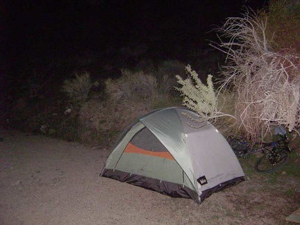 After 1/ 2 mile or so, I'm relieved to stumble across Indian Springs Road as hoped
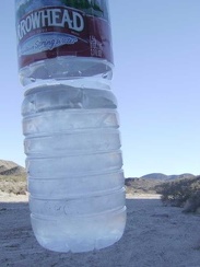 Ice in my water bottles this morning at Indian Springs!
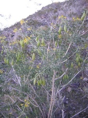 Bladderpod (Isomeris arborea) flowering and fruiting on the hillside behind my tent near Indian Springs
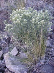 Unidentified alyssum-like plant
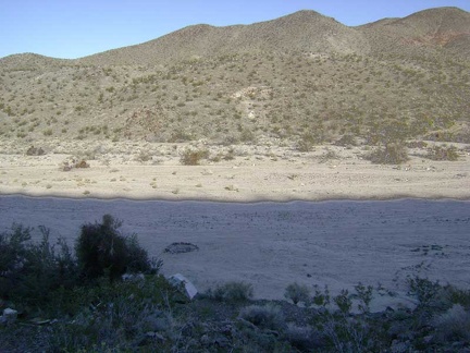 Looking back down to my campsite from my outhouse with a view
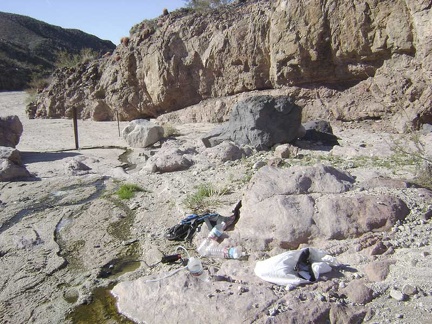 Before packing up, I head back up to Indian Springs 1/2 mile up the road to refill my drinking-water supply
 Pumping water at Indian Springs
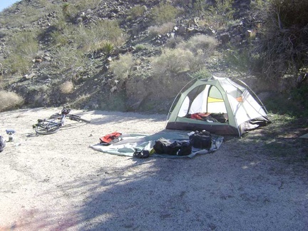 Dismantling the tent; time to move on and continue my bikepacking trip
 Around 13h, I ride down Indian Springs wash, away from my quiet campsite of the past two nights
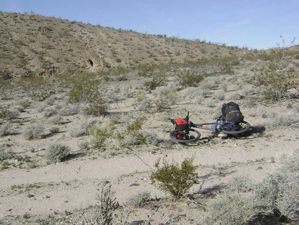 A mile or so down Indian Springs Road, I stop to look at some stone ruins in a hillside on the north side of the road
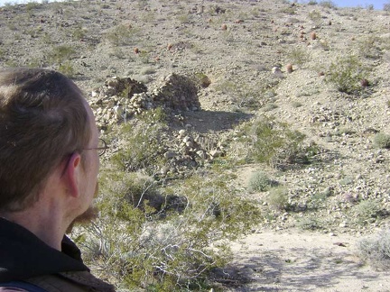 At the stone ruins off Indian Springs Road
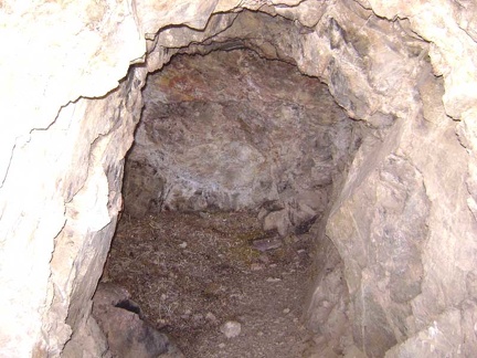 I take a look into the hole that goes into the hillside
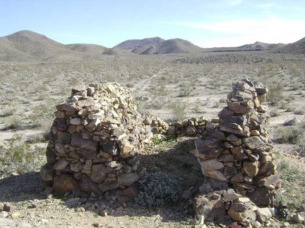 Whatever this was, there's practically no mortar left at all between the stones
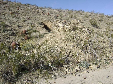 Near those crumbling rock walls is a hole in the hillside
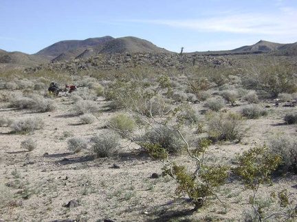 The 10-ton bike waits for me back on Indian Springs Road
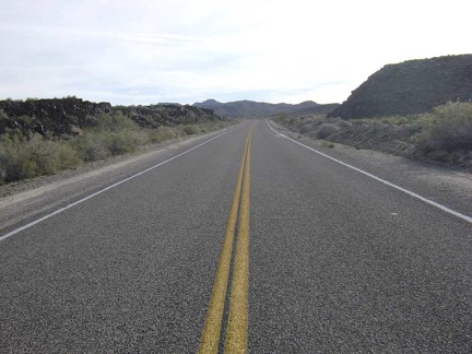 Back on the pavement of Kelbaker Road, I begin the slow, easy climb up toward Jackass Canyon Road
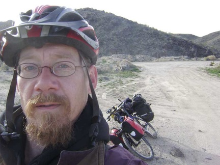 2.5 miles up Kelbaker Road, I make a brief stop at Black Tank Wash to remove my scarf and winter jacket
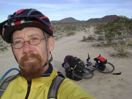 About 30 minutes later, and another 2.5 miles up the road, I stop at Rainy Day Mine Road to put on a windbreaker
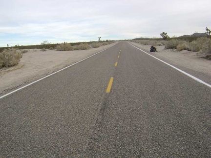 I complete my seven-mile climb up Kelbaker Road and reach the junction of Aiken Mine Road and Jackass Canyon Road
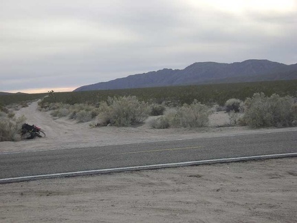 The start of Jackass Canyon Road
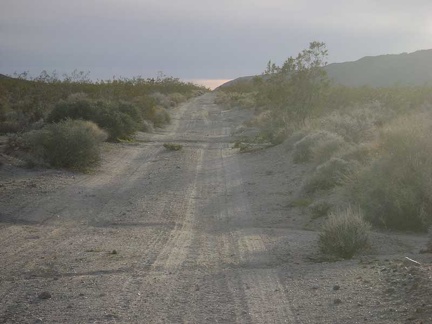 Small ruts on the uppermost part of Jackass Canyon Road
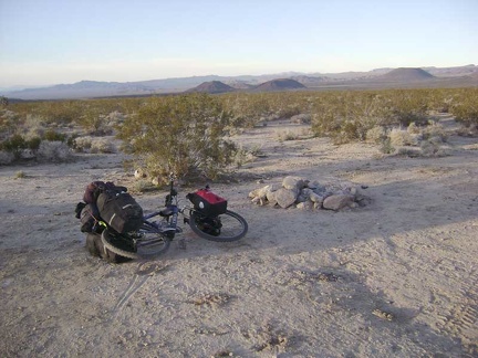 Fire ring at a roadside campsite on Jackass Canyon Road about 1.75 miles in from Kelbaker Road
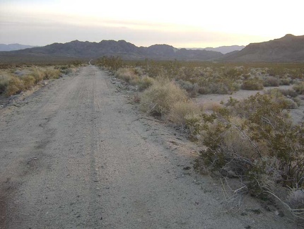 Heading down Jackass Canyon Road, it's not as nearly as steep as I was expecting, at least not yet
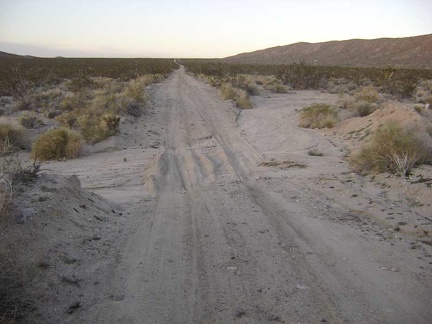 Bigger sandy drainages cross Jackass Canyon Road on the way down
 The impending sunset illuminates the distant power lines
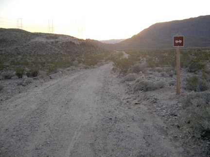 This four-wheel drive sign is the first sign I've seen on Jackass Canyon Road
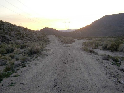 Uh oh, a fork in the power-line road; I have to make a choice that I didn't realize I'd have to make
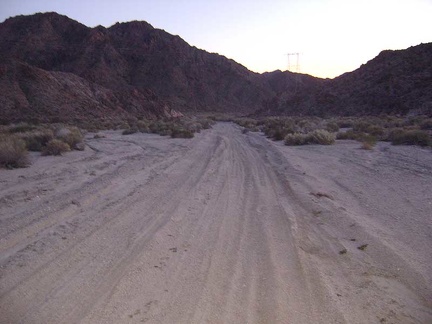 Hmmm... it's extremely sandy on this part of Jackass Canyon Road
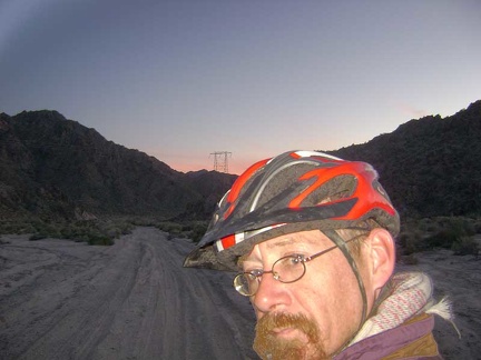 Bla, I can't ride through this deep kitty litter, it's getting dark, and I'm not down at Devil's Playground yet
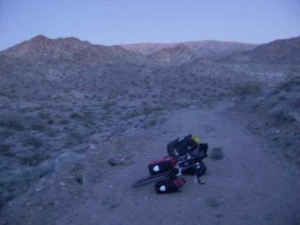 I climb up the high road, but it dead-ends at a transmission tower
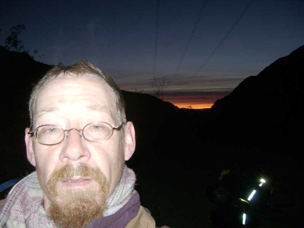 Back down in the Jackass Canyon Road wash, I resign myself to walking the bike through the kitty litter for a while
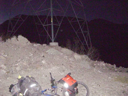 After a mile or so, the road rises out of the wash and I have just enough traction to resume riding
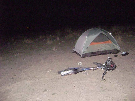 Returning to the main road, I decide to call it a day and set up camp by the power lines around 18h30
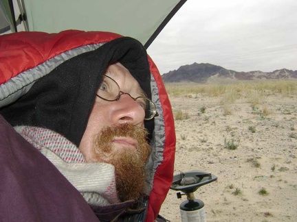 The first thing I do upon waking up is peer outside to see where I am, without leaving the comfort of my hooded sleeping bag
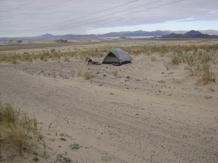 An hour later, I step outside for a short walk around my new surroundings at Devil's Playground
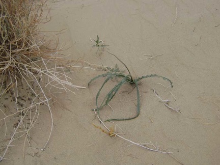 This wavy-leaved plant reminds me of the "soap root" plant that grows in the Bay Area
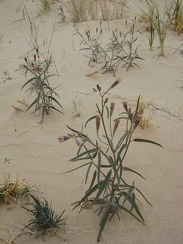 These plants look like a cross between a daisy and a milkweed
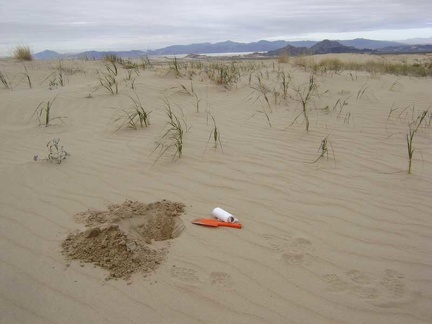 My scenic morning cat hole with Soda Lake in the background
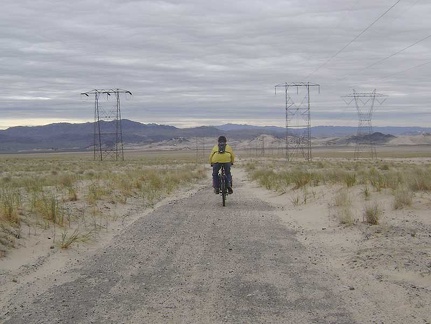 And away we go toward Sands down the power-line road...
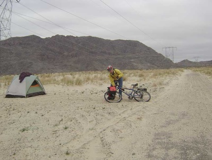 Leaving my campsite at the bottom of Jackass Canyon to ride across Devil's Playground over to Sands
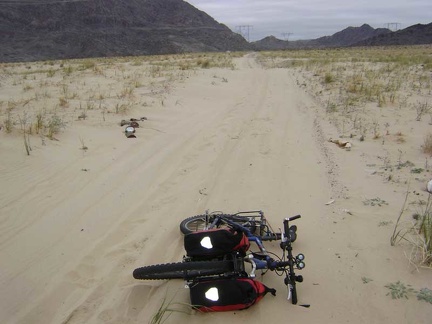 I reach heavy sand a quarter mile down the road and a pile of paint cans that were recently dumped here
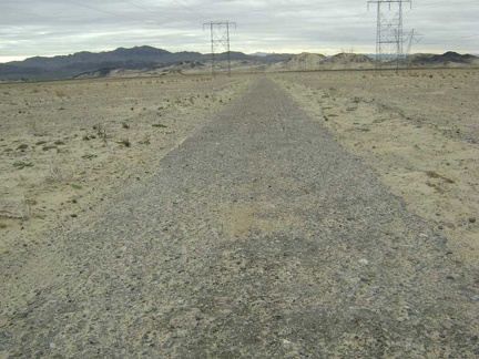 Some of the old pavement on the power-line road still functions as originally intended
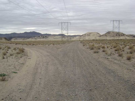 A couple of miles down from my tent, a branch in the road to the left will take me to Sands
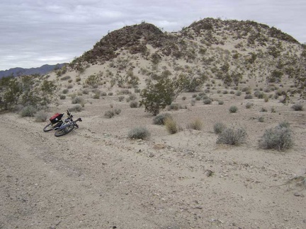 A few low hills jut up from the relatively flat landscape along the road to Sands
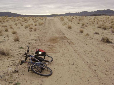 On the way to Sands is the remains of an old plank road, built ages ago to provide "permanent" traction in the sand
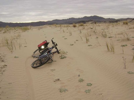 The pristine sand layer on this segment of the road to Sands leaves the impression that nobody has come down here recently
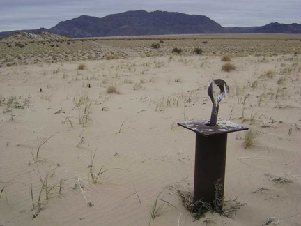 A few hoops like these are mounted on sturdy metal posts in a sandy area a short distance from the road
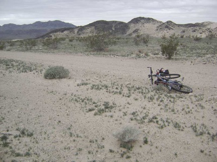 A carpet of low, ground-hugging plants casts an almost lush green tint over this area near Sands
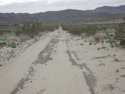 Sands should be just over there where the road comes to an end at the railroad tracks
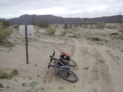 The railroad tracks at Sands cross the wash on a bridge
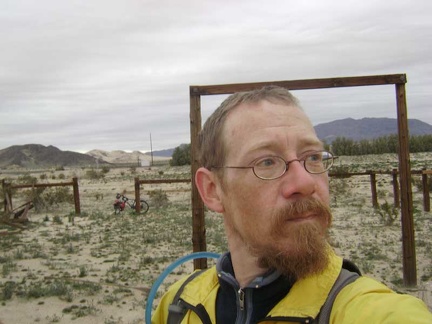 I cross the train tracks to Sands and check out the remains of an old corral
 Beyond the corral at Sands is an old ranch fence that heads off into the distance
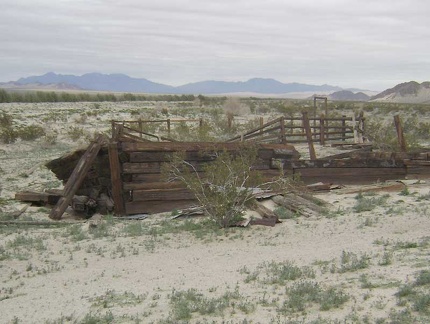 On the other side of the corral crumbles part of an old wall
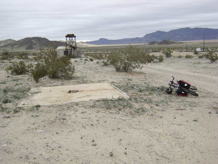 I see just one extant structure at Sands: a shed next to what looks like part of an old water tower
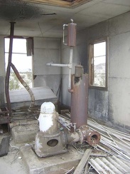 Inside the well-built shed sit some serious-looking mechanics
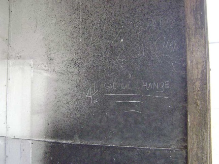 Etched into the sheet metal wall is an oil-change reminder
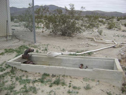 A large trough just outside the shed looks like it was intended to collect water pumped from the well
 Before heading back to camp, I ride 3/4 mile down the service road alongside the train tracks toward Kelso Dunes
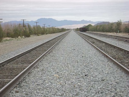 I'm not seeing new points of interest along the service road, so I cross the tracks and ride back up to Sands
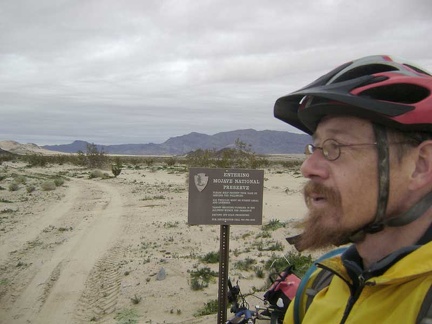 Back at the road between Sands and my campsite on the other side of Devil's Playground, I re-enter Mojave National Preserve
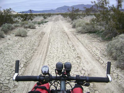 Crossing a dry mud flat near Sands on the way back across Devil's Playground
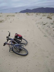 I'm back at that area of virgin sand, which I walk the bike through again
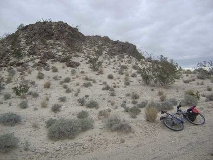 One of the rocky hills along the road tempts me, so I get off the bike and climb up it
 To the east sit the Kelso Dunes
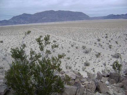 I look north toward Old Dad Mountain, the power-line road and my campsite at the bottom of Jackass Canyon
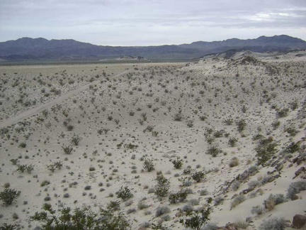 This little hill provides expansive views across the Devil's Playground
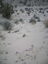 On the way back down the hill to the bike, I notice a few verbena-like flowers
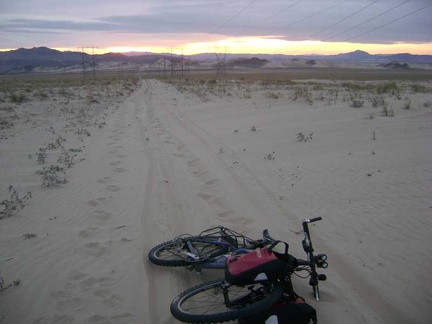 I head back up the power-line road to camp, looking back toward Sands
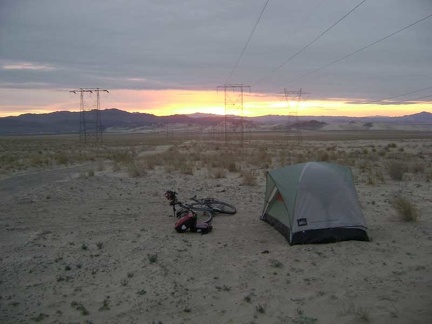 I arrive back at the tent just in time to enjoy a perfect Devil's Playground sunset
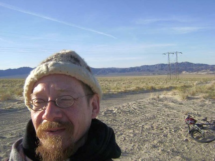 I step outside into the bright sun of a chilly morning at Devil's Playground
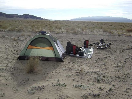 It's time to dismantle the tent and pack up the bike, while making and drinking coffee
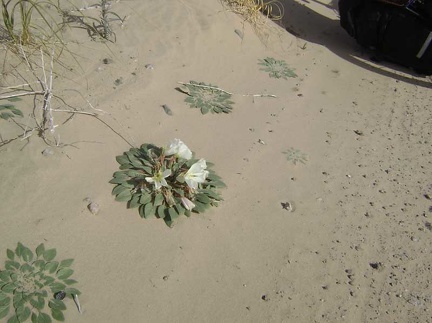 Many of these flat primroses dot the sand around my campsite, but this is the only one that's flowering
 The 10-ton bike packed to go, I start the trek back up Jackass Canyon toward Kelbaker Road
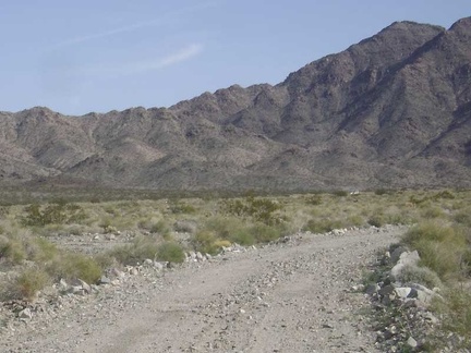 Heading up Jackass Canyon Road, I see a car coming toward me!
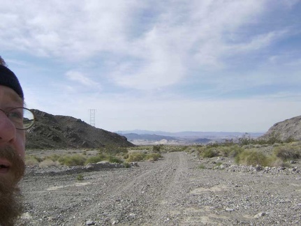 As I'm drawn into the canyon ahead, I look back to Devil's Playground one last time and say goodbye
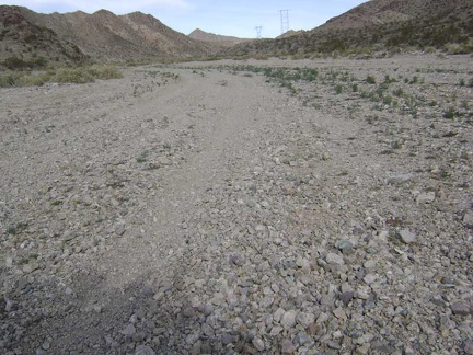 Gravel on lower Jackass Canyon Road
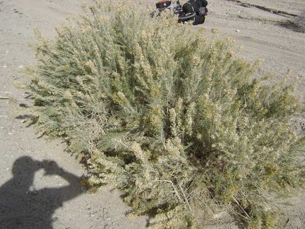 These plants are quite abundant here in the wash
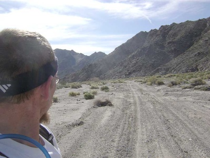 Looking back down Jackass Canyon Road as I walk the bike up the gentle grade
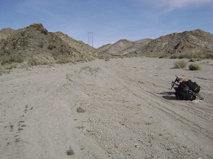 Hike-a-biking through sand on the way up Jackass Canyon Road
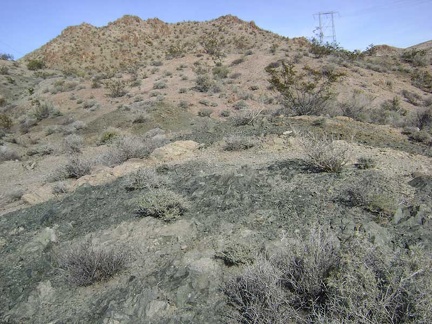 I pass by an area of subtly colourful hills
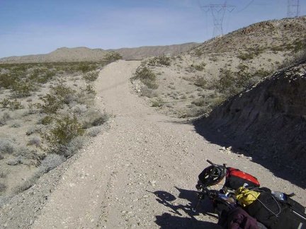 To get out of the sandy wash, I opt for a "high road" that looks like a short bypass
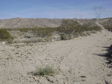 I pass a short-cut up over Rocky Ridge that follows the power lines to the ridge top where I'm going
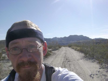 My miles of walking the bike through kitty litter come to an end when Jackass Canyon Road rises out of the wash
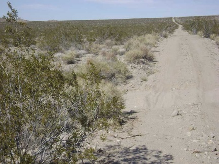 Looking at the final few hundred feet of elevation gain in front of me on the main Jackass Canyon Road climb
 A happy-Mother's-Day balloon rests deflated near the road
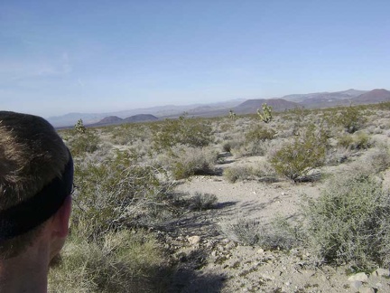 Excellent views of the cinder-cone landscape from the road that links upper Jackass Canyon Road back to the power-line road
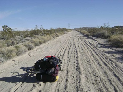 Despite old residual pavement on this road, surface sand and gravel makes it impossible to ride up the gentle slope
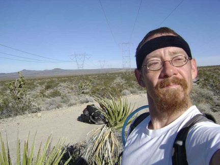 Proud power-line boy reaches the de facto crest of his climb for the day
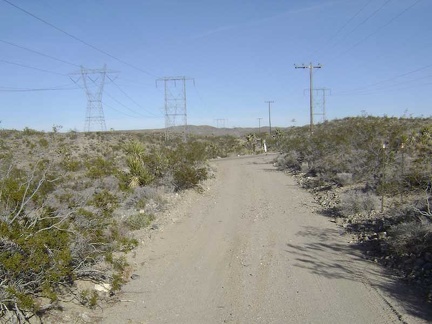 The power-line road crosses Kelbaker Road and I get back on pavement here
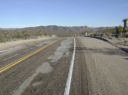 I start the 12-mile downhill to Kelso Depot after a short break to eat a Clif bar and put on my sweater and windbreaker
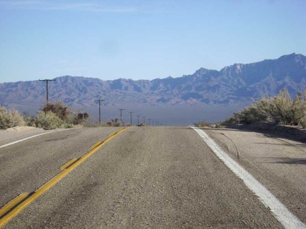 Most of this Kelbaker Road descent is fairly gradual as it drops into the Kelso Valley
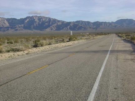 Once in Kelso Valley, the silo near Kelso Depot comes into view
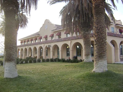 At Kelso Depot, I'm happy to learn that they do sell AA batteries, and I chat with Preseve staff
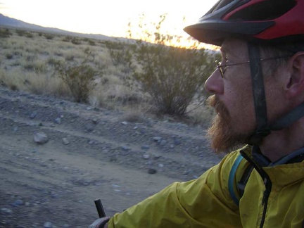 It's a race against time as I ride up Kelbaker Road toward Kelso Dunes
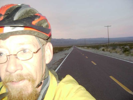 Getting darker as I climb Kelbaker Road toward Kelso Dunes Road
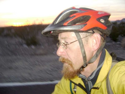 I'm just a couple of miles from Kelso Dunes Road
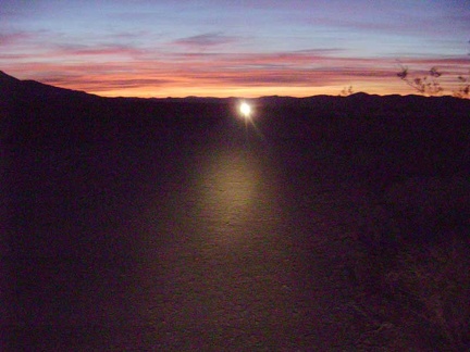 My race against time is over when I reach the gravel of Kelso Dunes Road and head toward the camping area at the end of the road
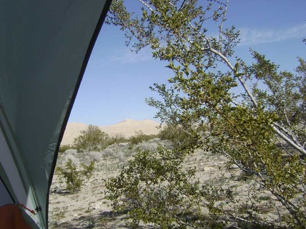 Awake, I peer out the back of my tent to see a sunny day, Kelso Dunes, and a creosote bush poking me in the face
 I take a short walk to warm up and get used to today's surroundings (it was dark when I got here last night)