Home 7119

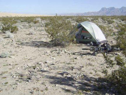 Large dry clumps of animal dung are everywhere around my tent
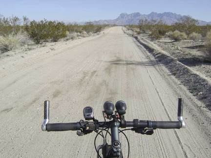 I ride back up the road 1.25 miles to the Kelso Dunes trailhead
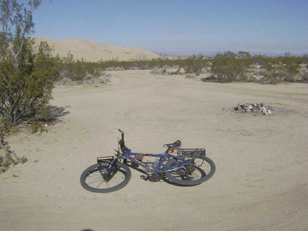 Near the Kelso Dunes trailhead, I pass an unoccupied roadside campsite
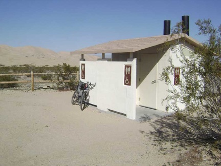 A nice touch at the Kelso Dunes trailhead is a modern outhouse that's even equipped with toilet paper
 I lock the bike to the fence at the Kelso Dunes trailhead
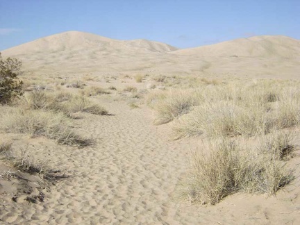 I begin the walk toward Kelso Dunes
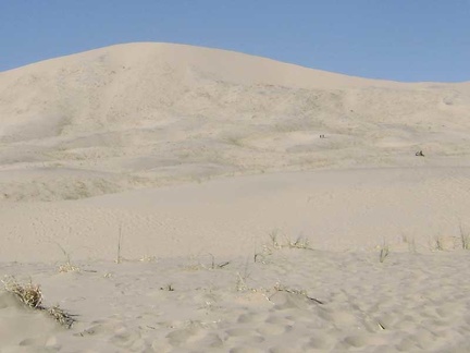 There are a number of people hiking Kelso Dunes today
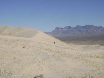 The Kelso Dunes sand is soft, and one does sink in with each footstep, but it's not as difficult as I thought it might be
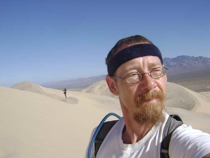 Excellent perspectives of the surrounding mountains come into view as one climbs higher up Kelso Dunes
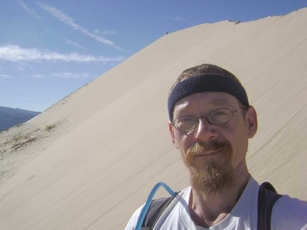 Approaching the top of Kelso Dunes, this final stretch is the steepest part
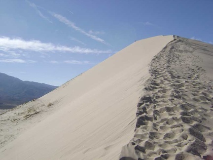 Kelso Dunes feels very sculptural as one approaches the summit
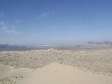 On top of Kelso Dunes, I'm taking in the views of this end of Mojave National Preserve
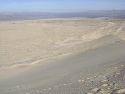 To my northeast is Kelso Valley, with Kelso Depot just barely visible in the middle
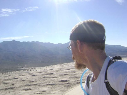 Looking down toward my campsite at the the end of the road from the top of Kelso Dunes
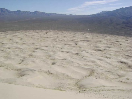 Getting ready to climb down the steep face of Kelso Dunes, with Granite Mountains in the background
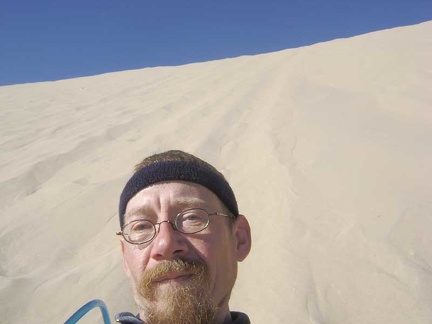 I figure I might get a better experience if it sit and slide down the Kelso Dunes as if I were on a toboggan
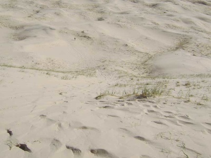 I'm coming down! The guy from Saskatchewan ran all the way down the dunes ahead of me
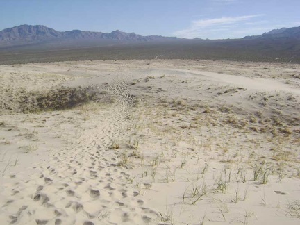 Heading back to Kelso Dunes trailhead, I have time for a short day ride; I randomly choose Coyote Springs as the destination
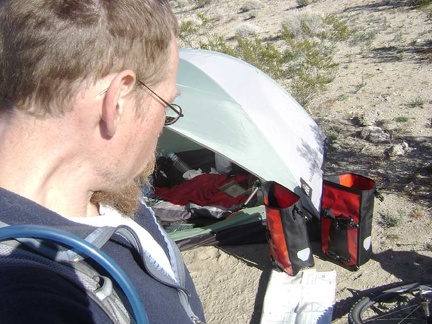 Back at my campsite near Kelso Dunes for a few minutes, I stuff a few items in my saddlebags for the ride to Coyote Springs
 I mount the bike and ride the 1/4-mile shortcut at the end of Kelso Dunes Road to the nearby power-line road
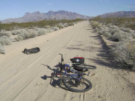 Eastbound on the power-line road toward Providence Mountains, I see that somebody suffered a tire blow-out here
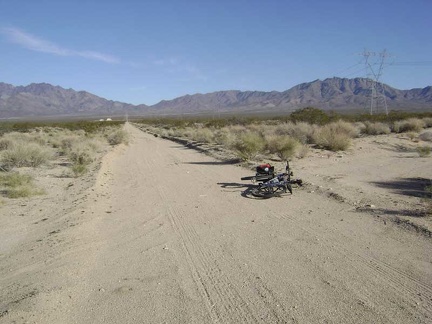 After a couple of miles on the power-line road, I locate the nearly invisible road that leaves on my right toward Coyote Springs
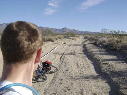 Heading up this sandy road, I notice a plastic pipe along the shoulder
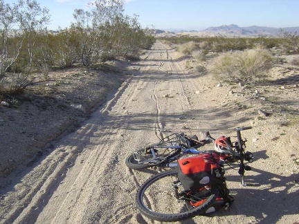 The soft sand on this road results in my walking the bike for about a mile, leaving nice tire tracks behind
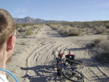 This sandy road-in-a-wash ends after a couple of miles and the rest of it ahead is blocked Wilderness barrier posts
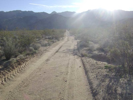 On the road to Coyote Springs at the base of the Granite Mountains
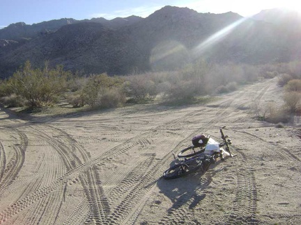 At another junction on the way to Coyote Springs, I pull out my map to look for this fork in the road
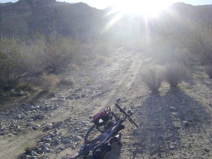 This final piece of the road to Coyote Springs is a little rocky, but has fresh tire tracks
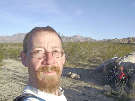 The road to Coyote Springs ends at a cul-de-sac, a small stone fire ring, and Wilderness-barrier posts
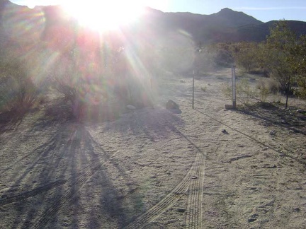 The old Coyote Springs Road obviously continues beyond the Wilderness-barrier posts, so I park my bike here and walk onward
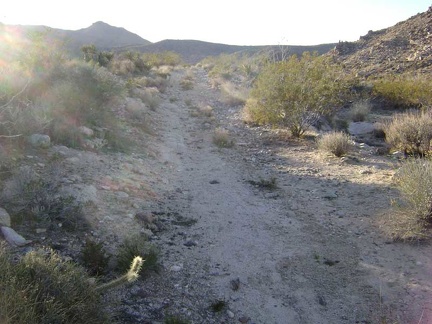 The old road toward Coyote Springs rises up a low hill
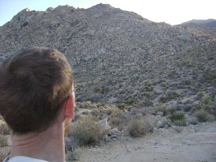 Just beyond the dip in the old road, I find myself facing a rugged, rocky hill
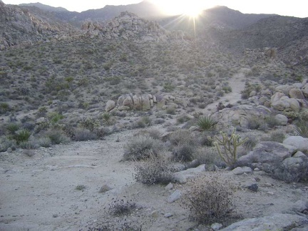 The Coyote Springs area becomes more picturesque as I continue up the old road
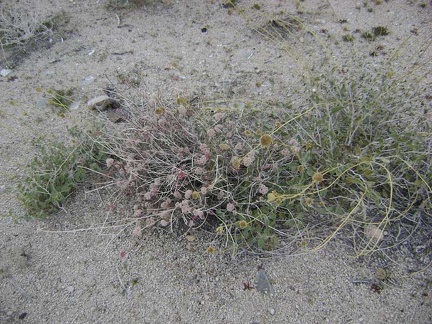 Another one of those pink-flowering buckwheats that I've been noticing on this trip
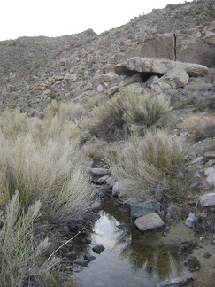 Lo and behold, I've just reached a full-fledged desert stream!
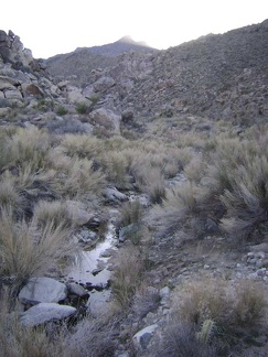 I decide to walk upstream to explore the extent of the stream and see if its beginning can be easily identified
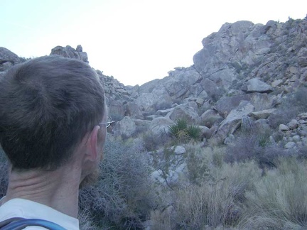 A little higher upstream, I realize I'll have some rock scrambling ahead of me if I want to continue upward
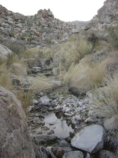 I walk back downstream to look for a good location to stop and filter some water
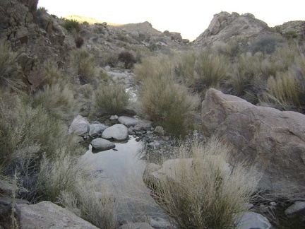 Just a few steps further around a small bend sits a nice wide pool of water that looks promising
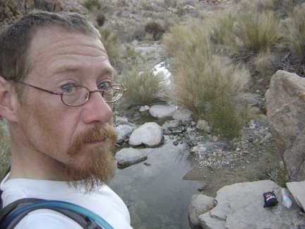 OK, the stream isn't exactly deep here, but it's deep enough
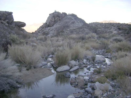 After refilling my water, I notice a faint road rising slowly to the right of a hill ahead of me
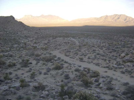 I leave the Coyote Springs stream and climb up one of the low rocky hills along the old road on the way back to my bike
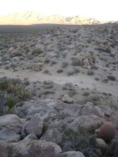 Looking back down at the old Coyote Springs Road from the little hill that I've climbed up
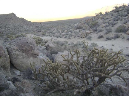 Cholla cactus along the old Coyote Springs Road
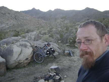 I exit the Wilderness boundary and return to my bike at the Coyote Springs campsite
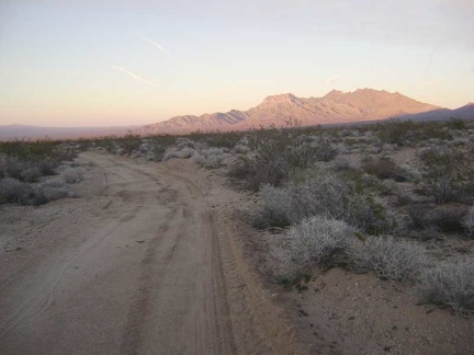 The day is spinning its finale even though I don't want that; I ride away from Coyote Springs
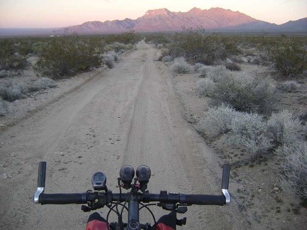 Five minutes later, the pink sunset light has dimmed a little
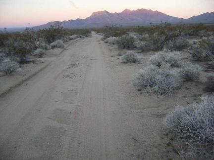 Yep, it's getting darker by the minute
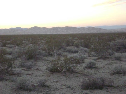 At this time of day, Kelso Dunes look like earth rather than huge piles of sand
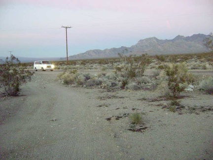 My dirt road from Coyote Springs ends at dusk when I reach the Kelbaker Road "highway"
 I descend Kelbaker Road 3/4 mile to reach Kelso Dunes Road
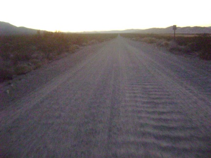 In the last vestiges of daylight, I rattle four miles down the Kelso Dunes Road washboard back to my tent
 Frost on my bicycle this morning near Kelso Dunes
 All bundled up, I go for a short walk around the campsite in the cold sun to warm up a little
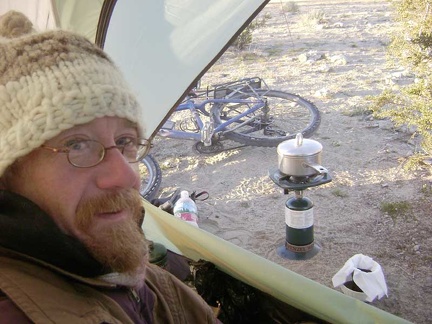 It's time to make some coffee using a toilet-paper filter and get started
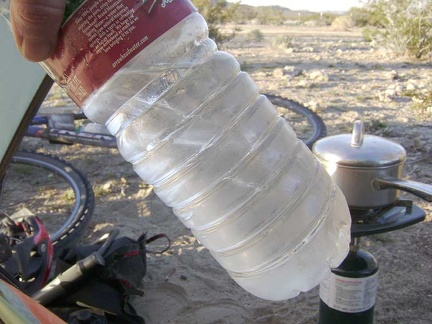 While sipping my coffee, I notice that the water bottles which I left outside last night have quite a bit of ice in them
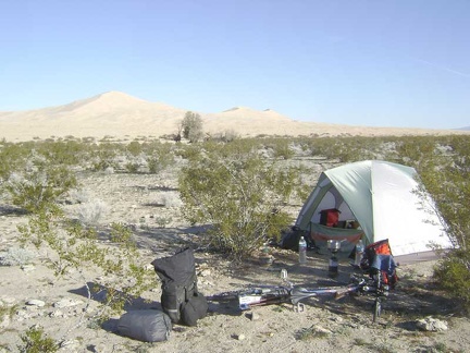 Breaking camp on the final morning of a trip produces mixed emotions
 The 10-ton bike has been rebuilt and is ready to leave Kelso Dunes
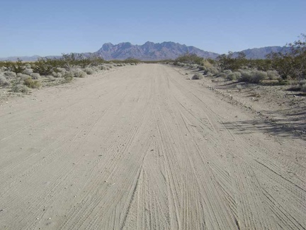 I ride away from the campsite up Kelso Dunes Road toward the Providence Mountains
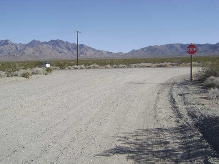 At the end of Kelso Dunes Road, I rejoin the pavement of Kelbaker Road
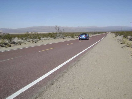 A car passes while I descend Kelbaker Road toward Kelso Depot
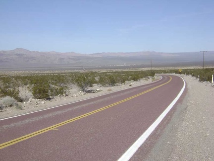 The further I descend this hill toward Kelso Depot, the stronger the headwind
 The little town of Kelso is now visible down in the valley below, as are the low mountains beyond that I will ride over later
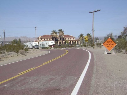 On the last few miles before Kelso Depot, the wind is so strong that I can barely maintain 7 miles per hour
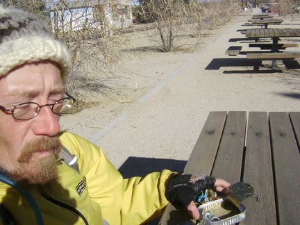 The strong wind pushes my empty sardine can around while I eat lunch outside Kelso Depot
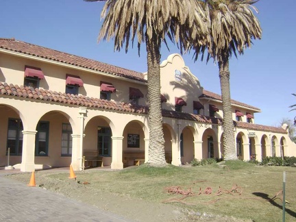 National Parks Service did an excellent job restoring Kelso Depot
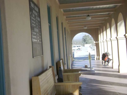 The 10-ton bike waits outside the doors to the Kelso Depot visitor centre
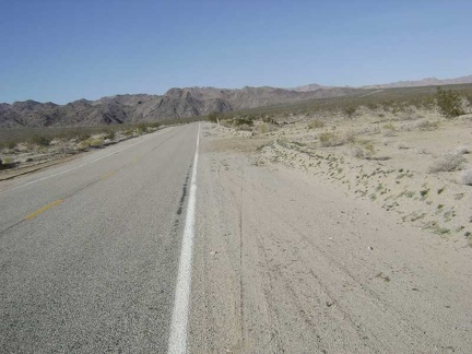 Enough chatting; it's time to get on with the day's business of riding up out of Kelso Valley to Baker
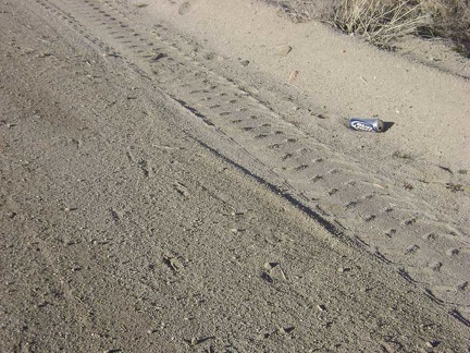 A discarded Bud Light beer can at roadside is a sign that I've re-entered "civilization"
 Climbing up the sometimes-rough pavement of Kelbaker Road; those who have ridden it know it
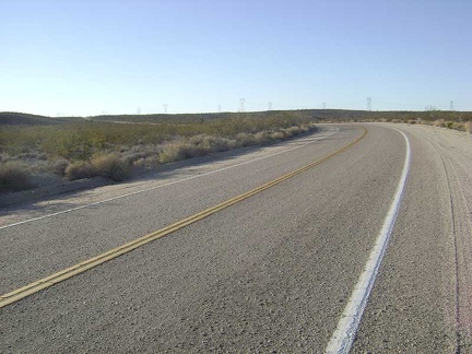 Ah, my 12-mile climb up to the Kelbaker Road summit ends just ahead at the power lines...
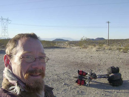 I take a quick break at the Kelbaker Road summit to put on my winter jacket and scarf in preparation for the downhill ahead
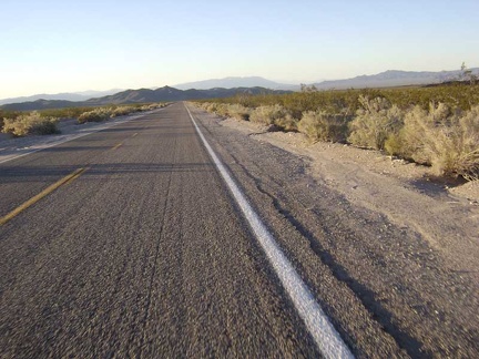 Baker, California: 23 miles and 2900 feet below the Kelbaker Road summit
 Pedalling down past those famous Mojave National Preserve cinder cones
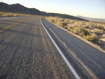 About eight miles down from the summit, I fly around the curve near the Kelbaker Road lava flows
 My focus cuts across the slanted world of motion to the hills behind the Indian Springs area, where I camped the first two night
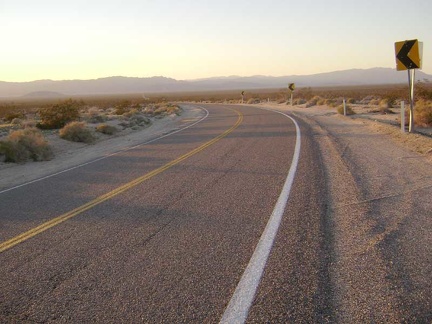 Rounding "the big curve" on Kelbaker Road, I begin the 10-mile home stretch toward Baker
 To my surprise, a strong tailwind has kicked in and is pushing me across the valley
 The deep glow of sunset intensifies with the passing of each minute
 The road belongs to me; I've only seen two cars since starting down from the summit
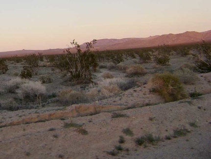 Today's Mojave National Preserve festival of pink, purple and orange is probably the best I've experienced on this trip
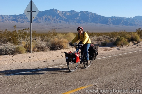 After 45 minutes of slow uphill, I see someone ahead in the road. Stranded? No, he's taking photos of the area, and of me
 The Kelbaker Hills behind me are busy absorbing every last bit of colour they can get before calling it a day
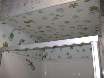 The pretty ceiling above the shower stall in tonight's room at the Royal Hawaiian invites me to step inside and get clean
 I've settled in with a full tummy and celebrate by catching up on my travelogue notes, drinking beer, and watching some TV
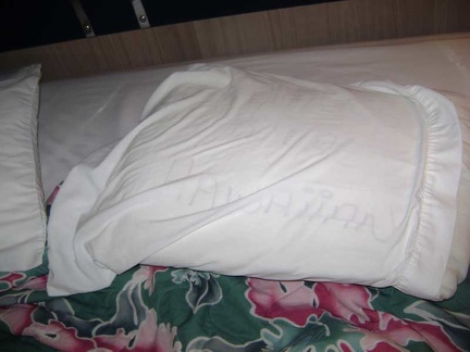 At midnight, as I prepare to go to bed, I notice that "Royal Hawaiian" is written on my pillow--happy 2008!
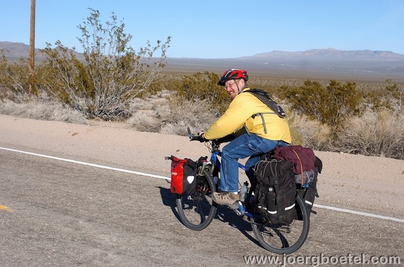 Joerg and Elke and I have a fun desert chat for a good half hour; they visit Death Valley frequently and are on their way home
![Photographer [url=http://www.joergboetel.com/]Joerg Boetel[/url] snaps one last photo of me as I ride away up Kelbaker Road](_data/i/galleries/kelbaker-road/0-100_0212www_joergboetel_com-sm.jpg) Photographer [url=http://www.joergboetel.com/]Joerg Boetel[/url] snaps one last photo of me as I ride away up Kelbaker Road
Photographer [url=http://www.joergboetel.com/]Joerg Boetel[/url] snaps one last photo of me as I ride away up Kelbaker Road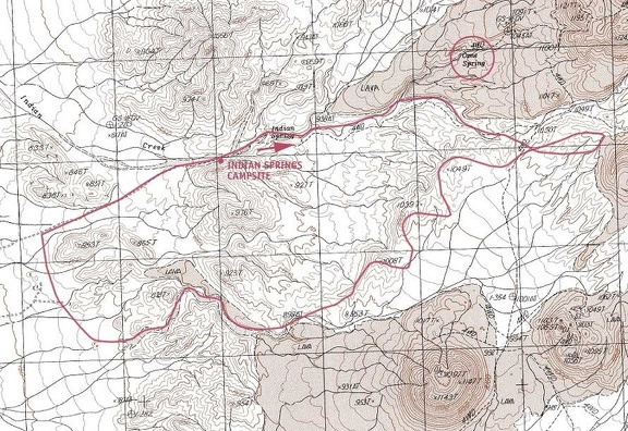 After I get home next week, I'll get a detailed USGS map and try to map today's hike in the Indian Springs and Cane Spring area
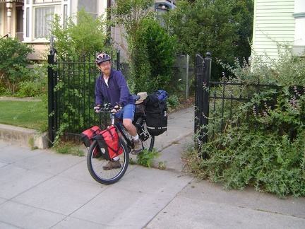 Yesterday morning I left home and rode to the San José Amtrak station for my rides to Baker, California
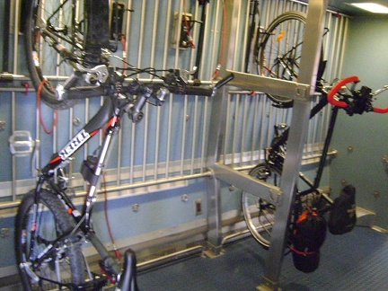 Another bike shared the bike rack with me aboard the Amtrak San Joaquin train yesterday
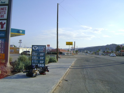 The Amtrak bus left the 10-ton bike and I in Baker, California, gateway to Mojave National Preserve, near the end of the day
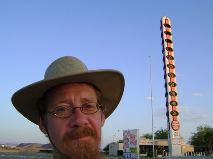 The "world's tallest thermometer" displayed 93 degrees F (33C) when I got here yesterday
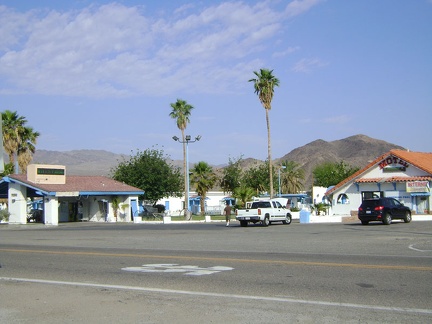 I stayed at the Wills Fargo Motel last night instead of at the tacky Royal Hawaiian Motel down the road
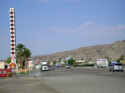 I get up early this morning and walk down the road for the breakfast buffet at the Big Boy restaurant by the big thermometer
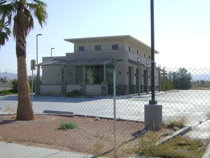 After breakfast, I walk over to the Starbuck's in town to pick up a pound of coffee for the trip
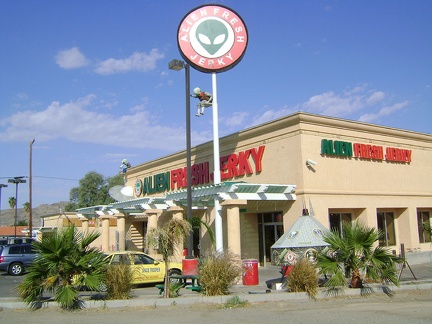 I also need to fill up on water before I leave Baker, so I make a stop at Alien Fresh Jerky
 Non-descript Baker is mostly gas stations, fast-food joints and convenience stores, but here's an old boxcar in a vacant lot
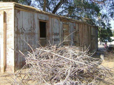 It appears that the old Baker boxcar is being used as a storage shed
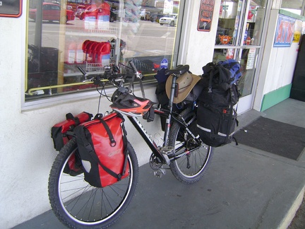 The Baker Country Store ran out of tea bags, so I go to the ridiculously expensive Baker Market to see if they have any in stock
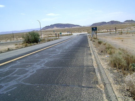 All stocked up, I get on Kelbaker Road and leave Baker, crossing the I-15 freeway before entering Mojave National Preserve
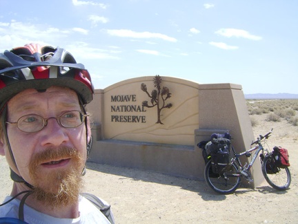 Obligatory tourist photo at the Mojave National Preserve entrance on Kelbaker Road
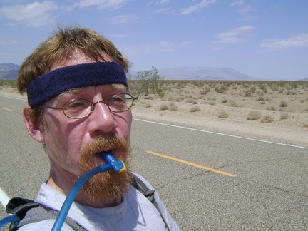 It hasn't taken long for the hot sun to fry me; I stop for several short breaks on this nearly flat stretch of Kelbaker Road
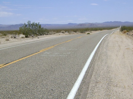 The first 10 miles of Kelbaker Road upon leaving Baker is long and straight and rises from 925 feet to 2000 feet
 At the 10-mile point on Kelbaker Road, "the big curve," it's time for another break.
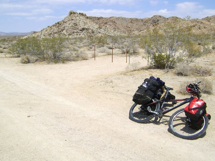 At the Kelbaker Road curve, I pull out on a dirt road and suck back more of my warm water
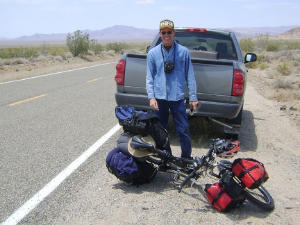 A bit further up Kelbaker Road: near mile 12, an oncoming pickup brakes and its driver shouts, "I love your web site!"
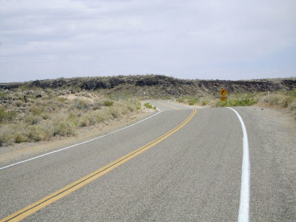 Energized by my chat with Brian, I start thinking about taking another short break, this time by the lava flows
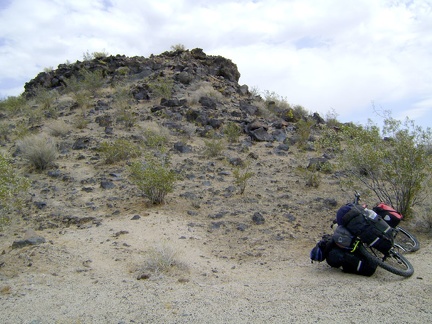 I park the 10-ton bike at the edge of the lava flow and go for a walk up the hill
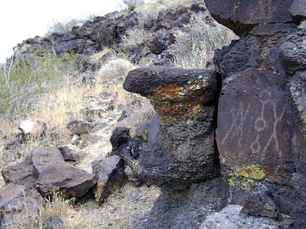 Sure enough, rock art is to be found up there
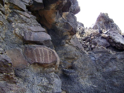 Antique graffiti?
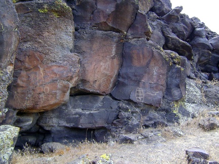 A faint hum oozes out of the lava, and it's not the spirit of the rock art whispering at me through the silence
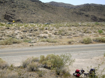 Staying away from the yellowjackets (I'm highly allergic), I walk back down to the 10-ton bike at Kelbaker Road
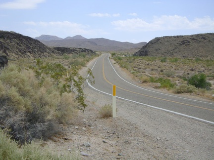 I remount the 10-ton bike and continue my trek up Kelbaker Road as it winds around the edge of lava flows
 Rainy Day Mine Road is the location of my next short break
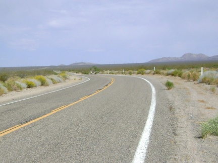 OK, back on Kelbaker Road, I'll tackle a little more of this slow, hot hill
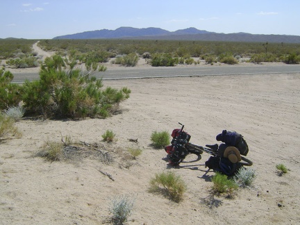 Aiken Mine Road/Jackass Canyon Road junction is the next stop on my Kelbaker Road death climb
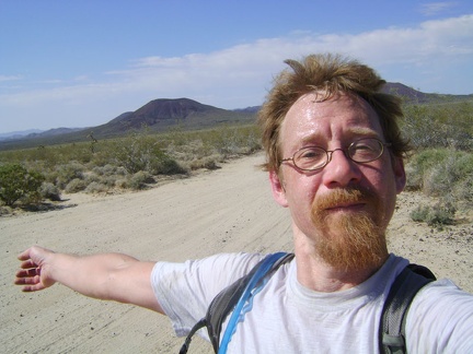 I pace back and forth with my arms extended for maximum air flow, like a cat stretched out on the floor on a hot day
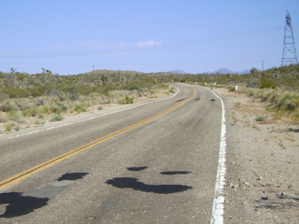 The final four miles of the normally easy climb to the Kelbaker Road summit at the power lines have never been so challenging
 Kelbaker Road summit at 3700 feet elevation; I'm there, finally!
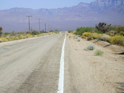 The 12-mile gradual descent to Kelso is fun, but I usually have a headwind that slows me down considerably, like I do today
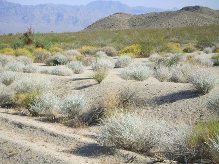 The vegetation on the foothills of the adjacent Kelso Mountains is striking with its silver-grey brush against yellow flowers
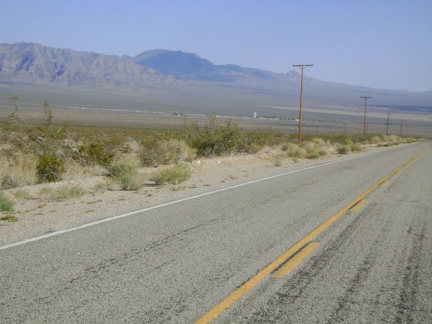 Still heading downhill into the Kelso Valley, now approaching the town of Kelso, that ribbon of buildings
 Desert willows bloom and attract hummingbirds outside the Kelso Depot bathroom building
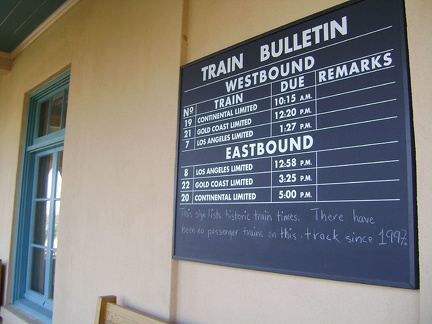 While lingering in the shade of the Kelso Depot waiting platform, I chat with a couple on their first visit to the Preserve
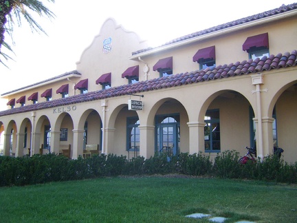 Kelso Depot Visitor Centre, Mojave National Preserve, former 1920s train station restored in 2005
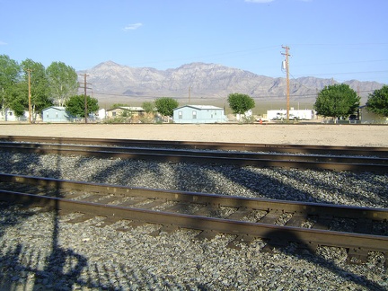 I look across the tracks and beyond the handful of houses that are Kelso toward Cornfield Spring, my destination
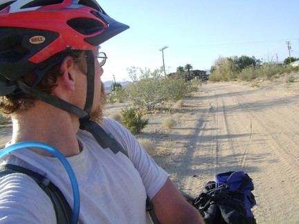 I glance back at Kelso Depot as I start riding up the sandy road to Cornfield Spring
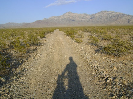 The road to Cornfield Spring gets a bit rougher
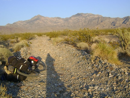 Cornfield Spring Road becomes a track of small rocks plowed out of the alluvial fan
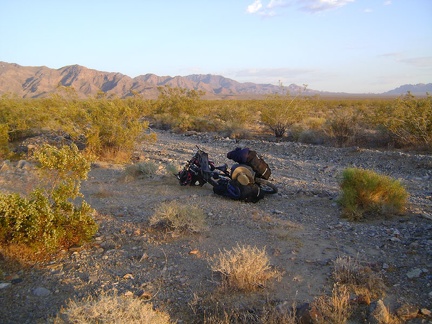 I'm still a couple of miles away from Cornfield Spring when I notice a small clearing that might make a good campsite
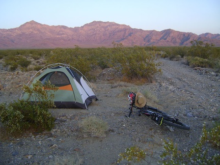 My Cornfield Spring Road campsite is born in time for me to enjoy the colourful end-of-day glow of the desert sunset
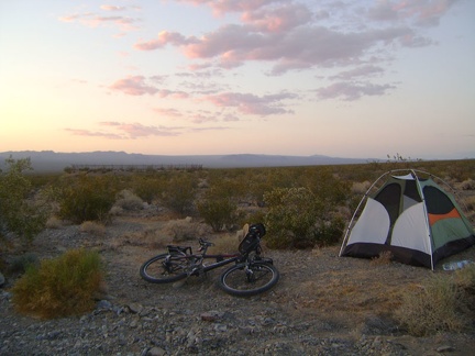 The beauty and serenity of a desert sunset tends to recompense for any hardships incurred during the day's work
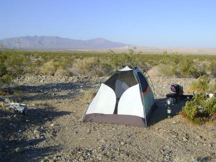 Mojave National Preserve wake-up call near Kelso Depot: morning sunshine
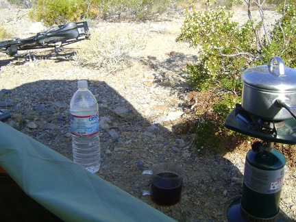 I make a small pot of tea, wondering if it will be enough to jumpstart my day; I would prefer some strong coffee, but have none
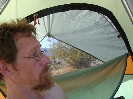 It's a hot morning, probably in the high 70s; I mount the rain cover on the sunny side of the tent to get some shade
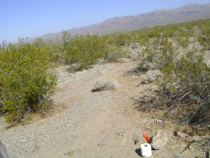 Time to dig my first cat hole of the trip
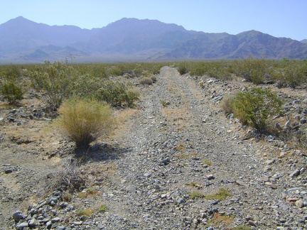 I pack my backpack and start walking up the road toward Cornfield Spring
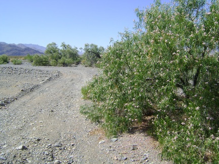 Hmm... no water here at all, just a nice patch of desert willows (chilopsis linearis)
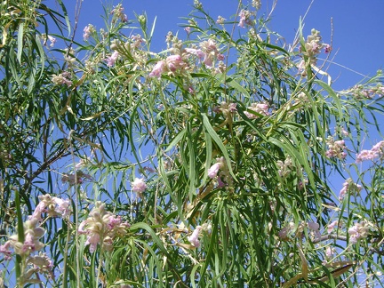 Chilopsis linearis flowers in close-up
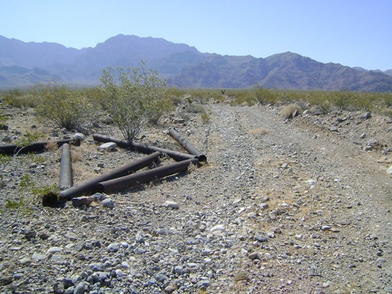 As I hike up Cornfield Spring Road, I come across this collection of old pipes
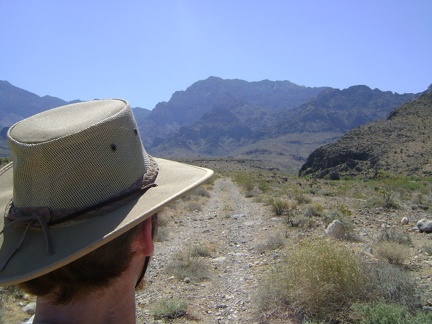 I keep hiking up Cornfield Spring Road and realize that I'm almost out of water already; not good on a hot day like this
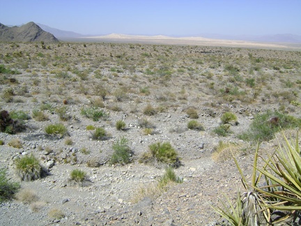 Kelso Dunes paint a scenic backdrop for this moment of indecision
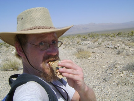 Break time! A Clif bar, and more water, which is already rather warm
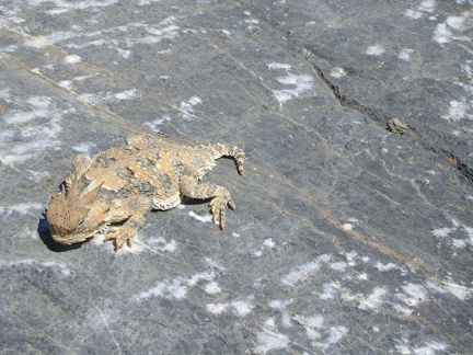 Desert-horned-lizard break! Quite different from my Clif-bar-and-water break a few minutes ago
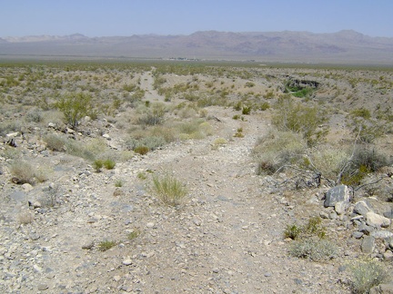 The 2.5-mile hike back to the tent is pleasant, and I'm enjoying the gentle downhill as I sweat under the hot sun
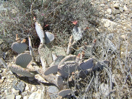 Residual flowers on a cactus; these may become cactus pears soon
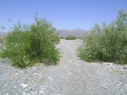 I pass again through the stand of desert willows on the way back to the tent
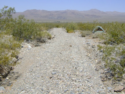 As I approach the tent, I'm overcome by a feeling of disappointment due to not having reached Cornfield Spring
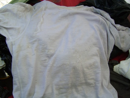 I reach inside my tent to get some water and notice yesterday's heavily salt-crusted t-shirt
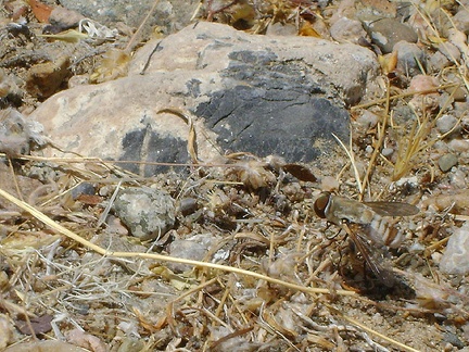 A wasp, or some kind of big fly, is sitting outside my tent, obviously attracted to something
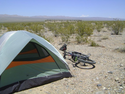 Now that I'm back at my tent, one of the things I want to see is that fenced-off structure a quarter-mile in front of me
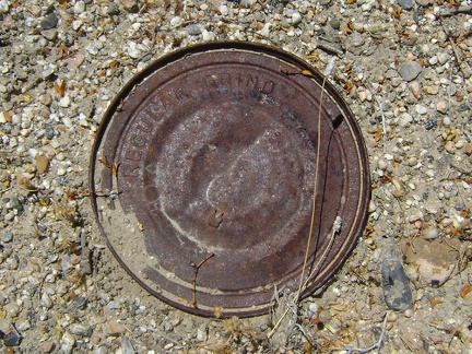 Near the structure are many old cans strewn about
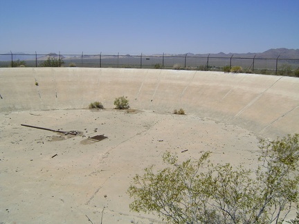 Peering through the wire, I see a large, dry concrete reservoir
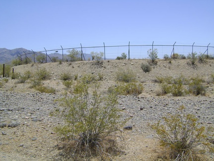 On the approach, this thing looks like an abandoned skating rink surrounded by barbed wire
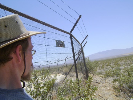 So, what in the desert is worth surrounding with barbed wire like this?
 On the way back to my tent, I notice a very distinct animal trail running across the fan
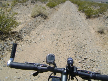 I fetch my bike at the tent and ride the almost two miles down to Kelso Depot
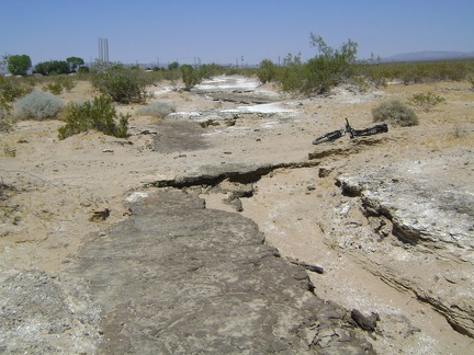 Close to Kelso Depot, I notice that Cornfield Spring Road crosses an old washed-out paved road
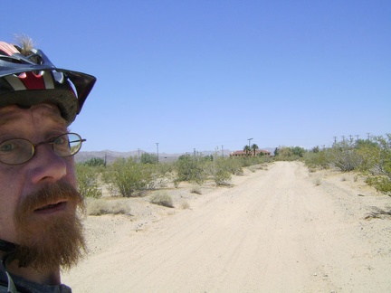 Approaching Kelso Depot, and air conditioning!
 I suck back a glass of cold iced tea at the just-opened first-floor lunch counter, then go exploring Kelso Depot's many rooms
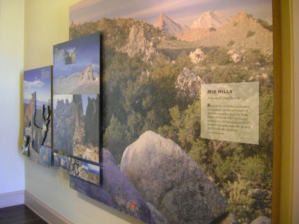 Several of the Kelso Depot exhibits introduce visitors to various distinct areas of Mojave National Preserve
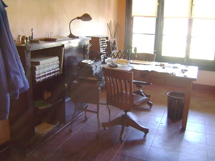 Old Kelso Depot office space
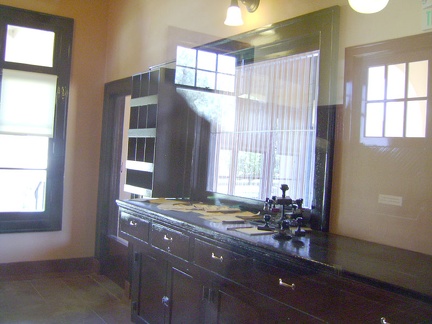 Kelso Depot baggage office, from staff's view
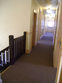 Kelso Depot, second storey: the real reason I'm here today (besides the air conditioning)
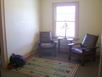 I plant myself in the sitting area of the little library and go about browsing the books and maps
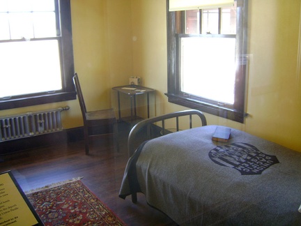 A couple of the small sleeping rooms are furnished in the simple style of the period
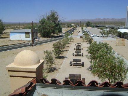 From Kelso Depot, view northeast up Kelso-Cima Road from the door at the end of the second-floor corridor
 My air-conditioning festival melts away when I refill my water supply at Kelso Depot and begin the ride back to camp
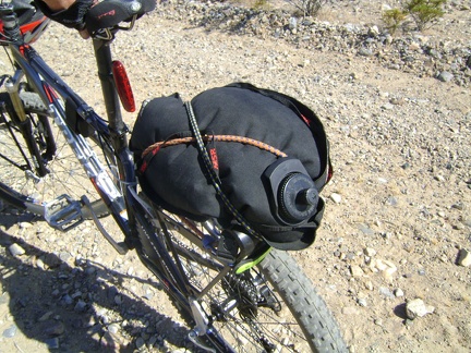 In addition to the four now-full 1.5-litre water bottles in my backpack, my 10-litre black water bag is mostly full now too
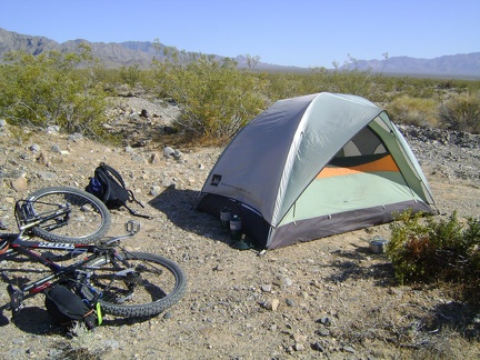 Back at the tent, I decide to rest silently for a while and enjoy the mind-and-body debilitating drug that is the heat
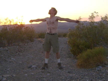 Sunset finally approaches like I knew it eventually would; I've been imagining its arrival from inside my tent for a while now
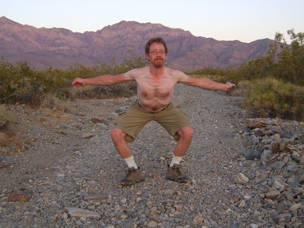 Like the Providence Mountains behind me, I stretch, and I stretch, upward and outward, the cool 90-degree air enveloping us all
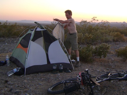 Sunset at Kelso also means removing the tent's outer flap to let the hottest air escape through the screen
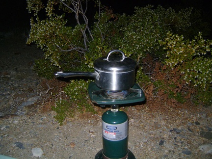 Heat does kill the appetite, but a good meal after exertion in the heat is still satisfying, if taken slowly
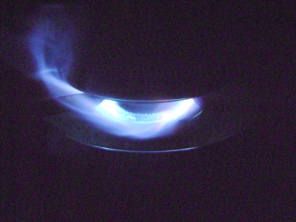 After dark, the wind picks up a little; it's a beautiful warm evening and the stars are bright
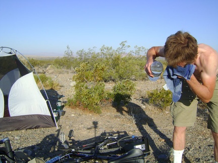 I'm irreversibly awake and sweating as soon the hot sun rises around 6h; by 7h, I'm outside taking a "dry shower"
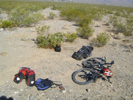 By 9h, the contents of my campsite on Cornfield Spring Road has been decisively packed into my bloated saddlebags
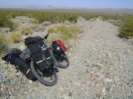 I start the two-mile trek down Cornfield Spring Road toward Kelso Depot
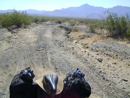 Looking behind me up Cornfield Spring Road toward Providence Mountains as I ride down the rough road to Kelso Depot
 I pass an ant hill on Cornfield Spring Road
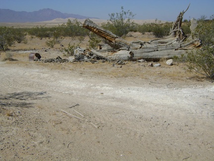 Dead tree along Cornfield Spring Road near Kelso Depot, with Kelso Dunes in the background
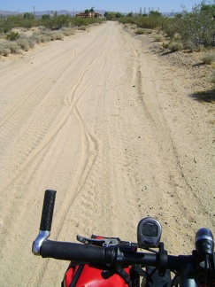 My tires hiss gently as I ride through the sand at the bottom of Cornfield Road toward Kelso Depot
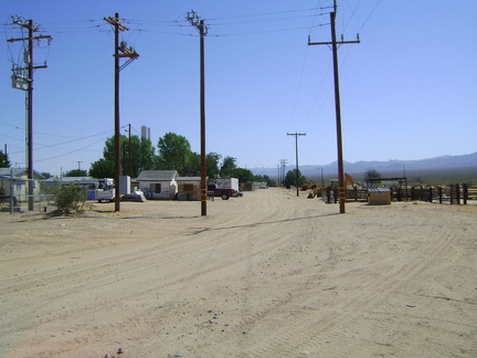 Just before Kelso Depot and the train tracks, I cross Kelso's back street where sit a few inhabited houses
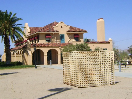 Next to Kelso Depot is an old metal structure that was formerly used as Kelso's jail!
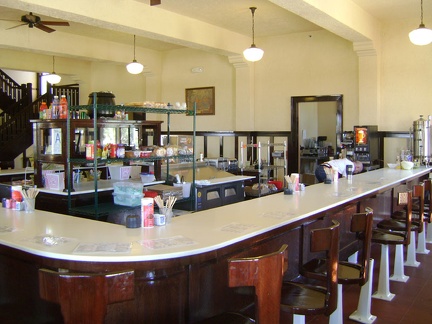 I take a one-hour break and cool down in Kelso Depot's air conditioning before starting the climb up to Mid Hills campground
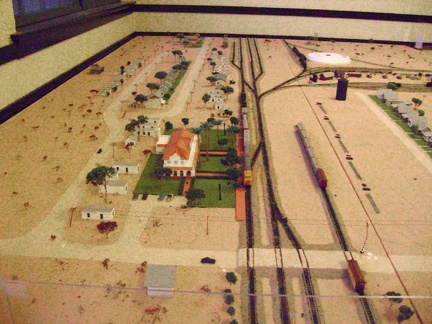 Downstairs in Kelso Depot is a model that shows how Kelso was back in the 1940s
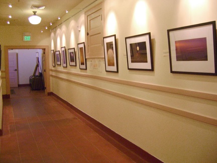 Also downstairs at Kelso Depot is a gallery featuring work from a new artist-in-residence program by photographer Bob Killen
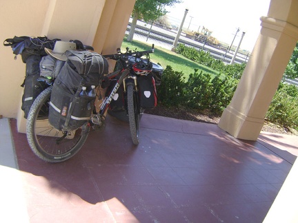 It's already 84 degrees and I've cooled down as much as I can in Kelso Depot's air conditioning; it's time to ride on!
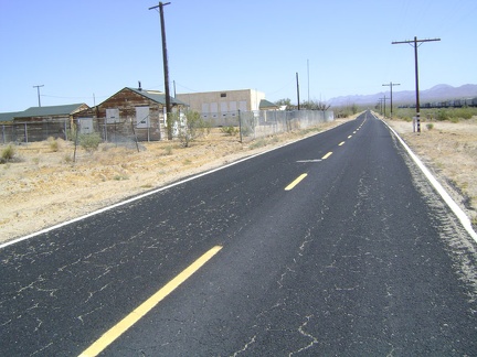 I'm officially on my way to Mid Hills now as I leave Kelso Depot and head north on Kelso-Cima Road
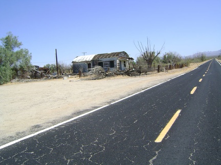 I pass my favourite old house in Kelso, the one with the rounded roof and the cabin in the backyard built of railway ties
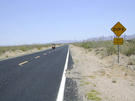 Kelso-Cima Road isn't too busy, but traffic is fast and there's no paved shoulder, so cars have to change lanes to pass me
 Datura flowers along Kelso-Cima Road
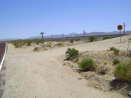 Globe Mine Road; I camped three nights up this road on my 2008 trip
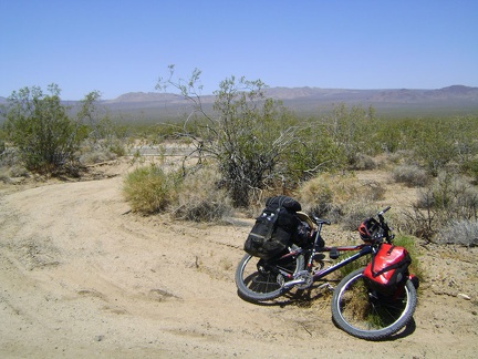 I pedal slowly upward and take a Clif-bar-and-water-break about an hour later off Kelso-Cima Road along the train tracks
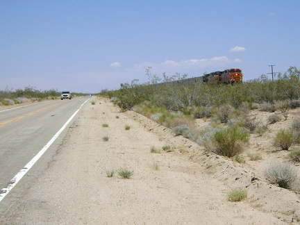 The break helps a lot, and I get back on Kelso-Cima Road for the last few miles to Cedar Canyon Road and watch a train pass by
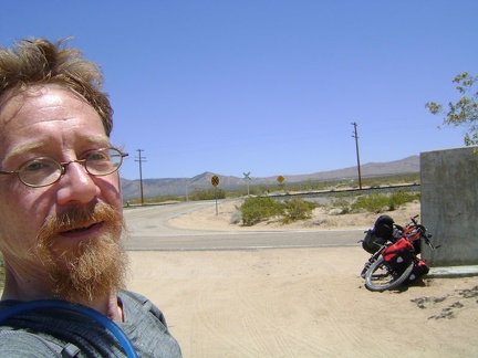 Cedar Canyon Road junction, another much-needed break, at 3725 feet on Kelso-Cima Road
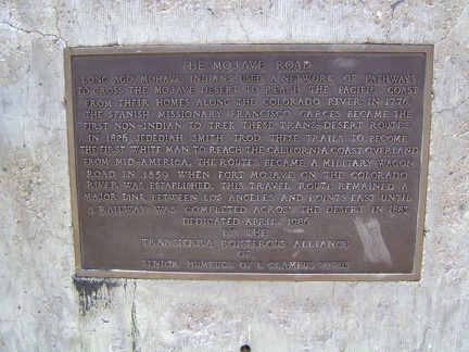 Information plaque on Mojave Road marker at junction of Cedar Canyon Road and Kelso-Cima Road
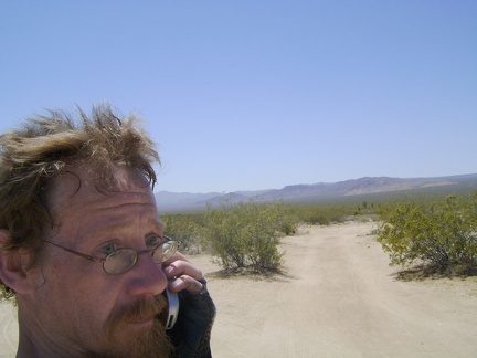 Mojave Road and Marl Mountains in the background, I try my cell phone here, but there's no reception
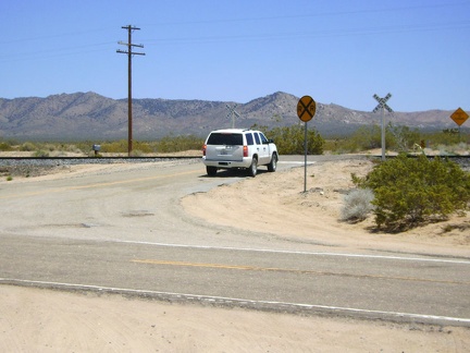 While at Cedar Canyon Road junction, I notice an indecisive SUV, so I go speak to its driver; maybe he needs directions