Home / Mojave Preserve and Desert bikepacking trips / 2010, Mojave National Preserve / Day 4: Pinto Mountain day hike, Mojave National Preserve 67

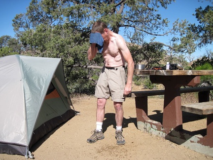 I'm happy to wake up and find myself at Mid Hills campground, Mojave National Preserve
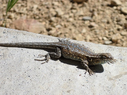 A lizard on a rock near my tent says "Good morning!" as I step outside my tent after a relaxed breakfast
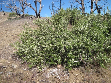 Some regrowth at Mid Hills campground, almost five years after the 2005 brush fires
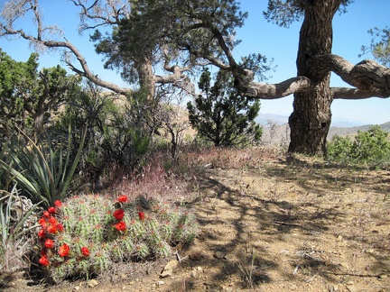 This old pinon pine near my tent at Mid Hills campground is in a green pocket that escaped the 2005 brush fires
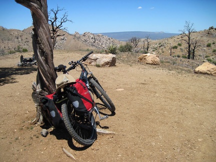 I do a test ride to a nearby campsite after fixing the bike's misaligned rear wheel; nice view of Cima Dome from this site
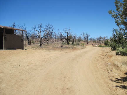 As I ride the 3/4 mile out of Mid Hills campground, I stop to see if the water is better here than from the tap by my campsite
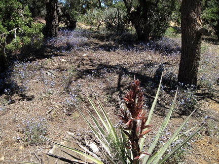 Across the road from the washrooms, a patch of phacelias bloom amidst a stand of junipers, pinon pines and yuccas
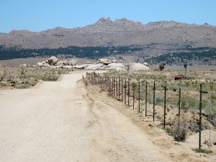 I ride two miles down Wild Horse Canyon Road, then ride north on Black Canyon Road
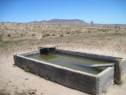 The old cistern here by Holliman Well off Black Canyon Road, with Pinto Mountain in the background, is full
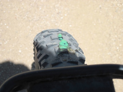 Back on Black Canyon Road, I hear hissing, and see a bit of "Slime" oozing out of my front tire to prevent a flat
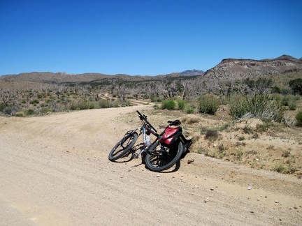 A bit further north on Black Canyon Road, I reach my shortcut road over to Cedar Canyon Road and Pinto Mountain
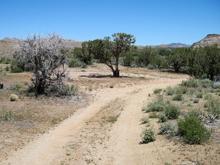 The shortcut road to Cedar Canyon Road is a good two-track for a short distance, up to a secluded campsite under an old juniper
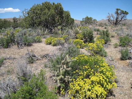 This is another area of the Mid Hills that was partially burned, but not completely, during the 2005 brush fires
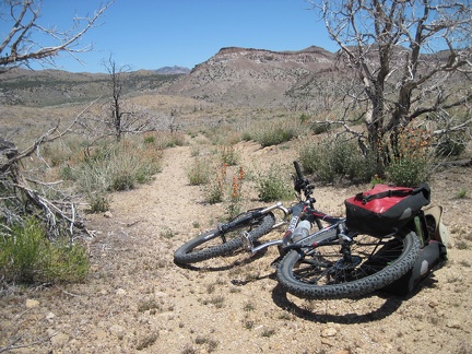 Beyond the juniper campsite, the shortcut road to Cedar Canyon Road fades out somewhat due to lack of use
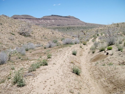 Off-camber stretches of the shortcut road toward Pinto Mountain make it unusable by low-clearance vehicles
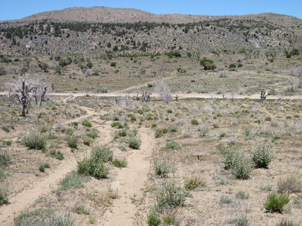 The shortcut road descends to Cedar Canyon Road and then crosses it
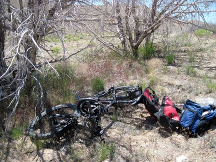 I stash my bicycle behind some dead trees near the old Mojave Road and start the hike to nearby Pinto Mountain
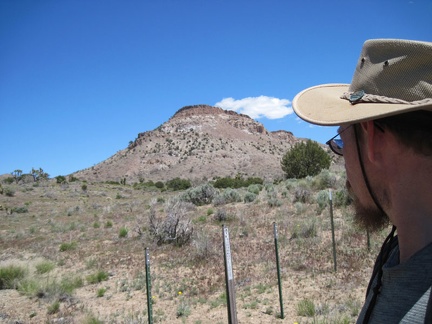 The Pinto Mountain hike starts by passing through the Wilderness-boundary markers
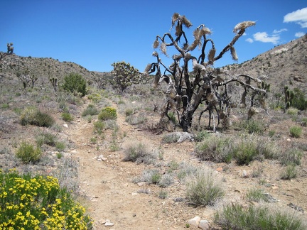 An old closed road beyond the Wilderness boundary on the west side of Pinto Mountain makes for a perfect trail
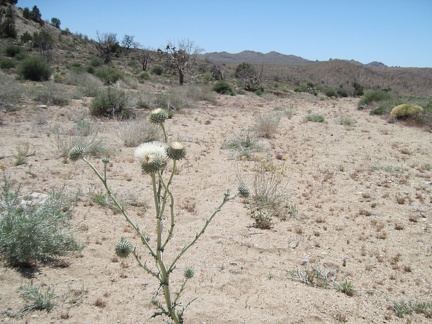 White thistle in Cedar Wash on the way to Pinto Mountain, Mojave National Preserve
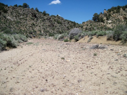 Still in Cedar Wash, to my right is one of two locations I marked on my GPS unit as a possible route up Pinto Mountain
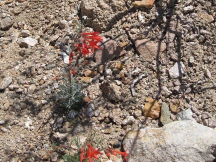 Bright red hummingbird flowers growing in the gravelly drainage west of Pinto Mountain
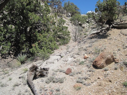 I climb past a few junipers on the way up the drainage area to Pinto Mountain
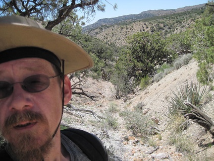 Steep uphills are always satisfying when one turns around to see how much one has risen in such a short time
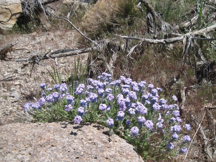 A few patches of verbena are still flowering in the semi-shady drainage as I rise up the back of Pinto Mountain
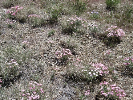 Also still blooming on the north side of Pinto Mountain are a few tufts of phlox
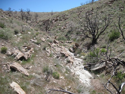 I'll keep hiking up to the top of the semi-barren slope, and then I should be at the top of Pinto Mountain
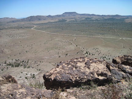 At the crest of Pinto Mountain, the southward views of Round Valley are excellent, as one would expect
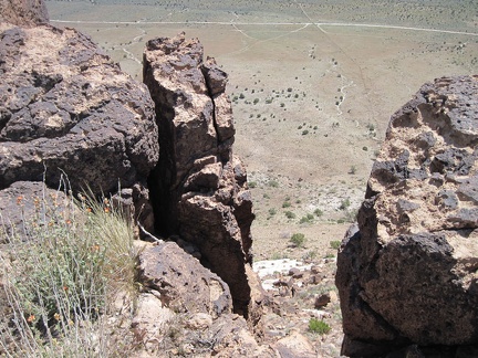 It's a steep drop down the front of Pinto Mountain to Round Valley
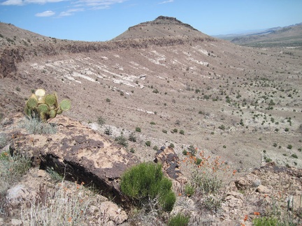 I look over to Purdy Peak, the highest point in the Pinto Mountain formation
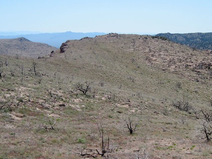 A glance to the west shows how the slope up the back of Pinto Mountain ends abruptly at the steep escarpment
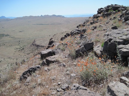 Orange desert mallow blooms splash some colour on the view toward Mid Hills campground and Eagle Rocks, Mojave National Preserve
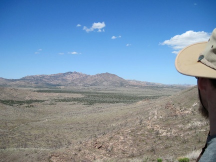 Northeast of Pinto Mountain are views across Pinto Valley to the New York Mountains
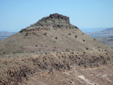 Close-up of Purdy Peak, Pinto Mountain, Mojave National Preserve
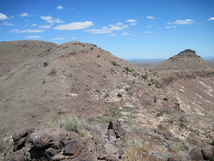 I take a break on a hill on Pinto Mountain at about 5870 feet elevation, munch on an energy bar and enjoy the views
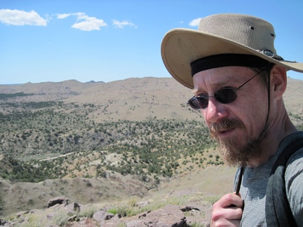 It's really windy up here on Pinto Mountain, so I often find myself holding my hat straps to help keep the hat on my head
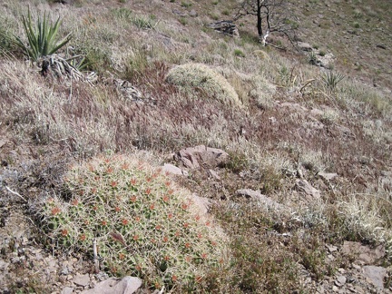 As I walk along a hillside on the north side of Pinto Mountain, I almost step on this low cactus which camouflages nicely
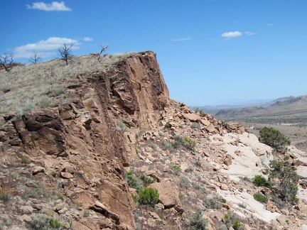 Great views eastward from the west end of Pinto Mountain
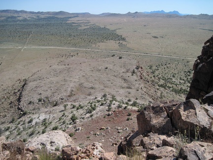 From Pinto Mountain, I can see the jagged edges of the Providence Mountains in the distant blue
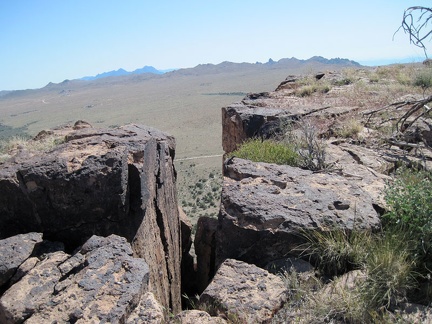 Another great view across Round Valley from Pinto Mountain through a slot in the rocks
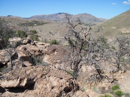 After an hour on Pinto Mountain, I start my way back down to the valley on the easy north side through a boulder patch
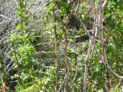 Close-up of the barberry bush on the north side of Pinto Mountain
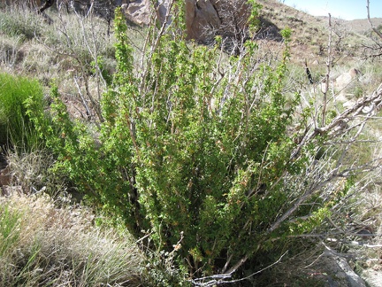 I stumble upon what I think is a barberry (berberis) bush on the way down the north side of Pinto Mountain
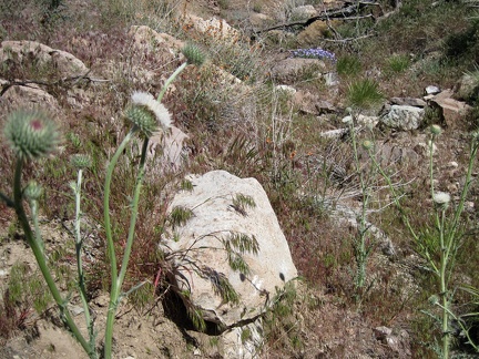 A bit lower down Pinto Mountain, under a canopy of burned trees, are a few flowers here and there
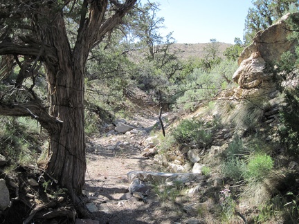 I follow a different mini-canyon on the lower part of the return to Cedar Wash and pass under the remains of an old fence
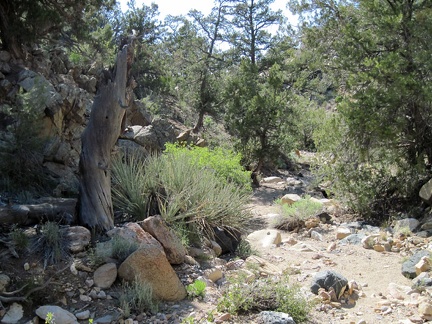 The dappled shade cast by old pinon pines and junipers makes for a nice walk down this little wash north of Pinto Mountain
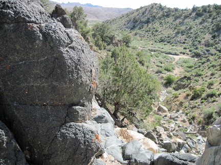 The mini-canyon arrives at a steep drop-off just before reaching Cedar Wash
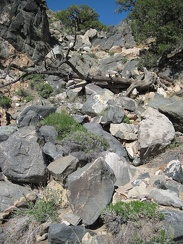 Partway down the rock pile leading to Cedar Wash, I turn back to look up at my descent route
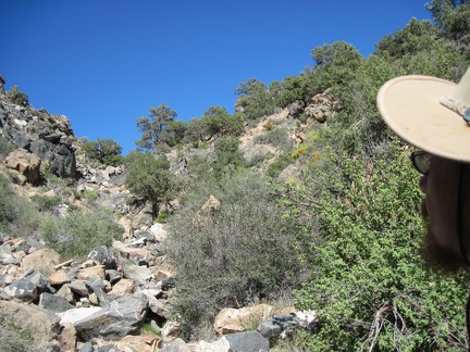 It doesn't take long to reach the bottom of the rock pile where it spills out onto the edge of Cedar Wash
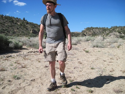 I walk back down Cedar Wash toward the road where I left my bicycle
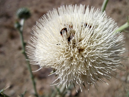 A few bugs enjoy this white thistle flower in Cedar Wash, Mojave National Preserve
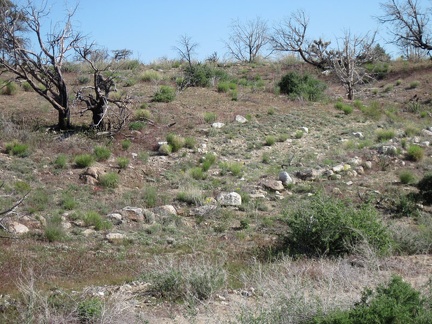 I reach the old closed road leading out of Cedar Wash, marked by rocks that were perhaps placed there 100 years ago
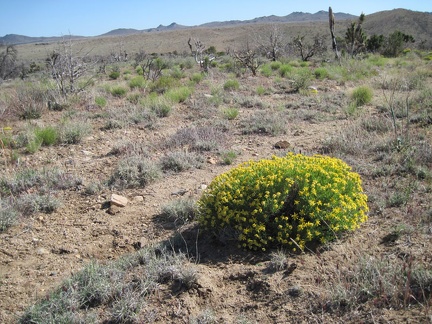 Along the old road into Cedar Wash grow a few of these bright-green plants
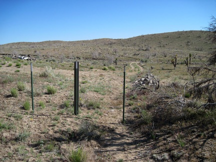 I cross the Wilderness boundary (no mechanized travel allowed on this side of it) and turn left to fetch my bicycle nearby
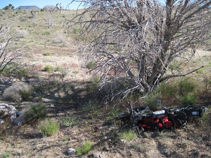 I reach the trees off the old Mojave Road under which I stashed my bicycle, and voilà, it's still there
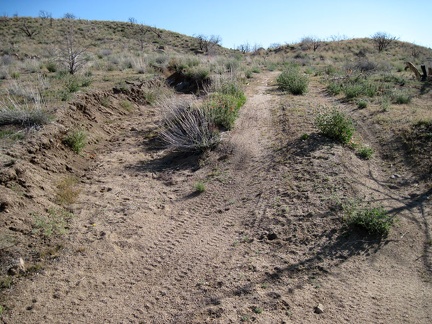 The shortcut road up to Black Canyon Road is a good ride (without a heavy load), about 3/4 mile long
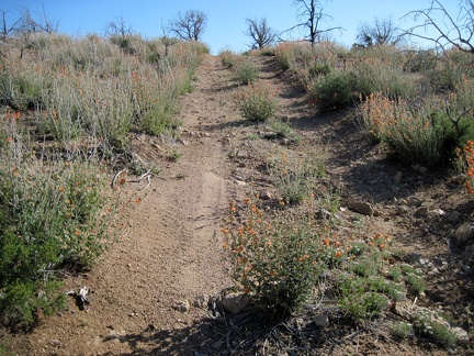 The shortcut road rises up through a patch of desert mallow flowers just before it reaches the Round Valley plateau
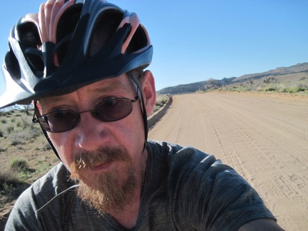 I ride two miles on Black Canyon Road on the way back to Mid Hills campground, Mojave National Preserve
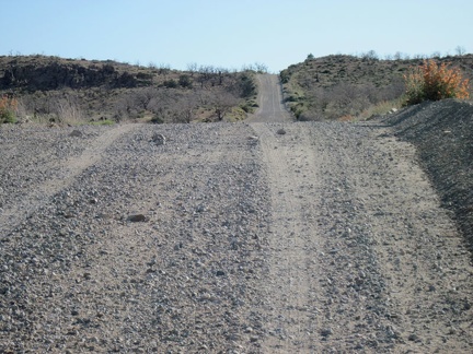 The two miles and four hills up Wild Horse Canyon Road are much easier than last night when I was carrying a full load
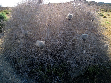 Happy insects of some kind have made webs in a bush along Wild Horse Canyon Road
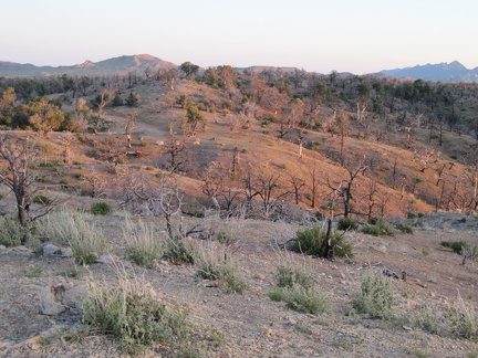 When sunset approaches, I walk up a hill near my site at Mid Hills campground to take in the views
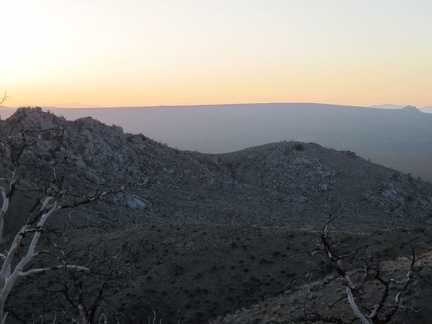 Awesome sunset view from Mid Hills campground over to the subtle slope of Cima Dome
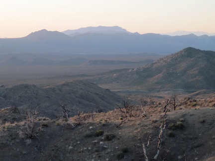 To the north are excellent views down to Cedar Canyon Road, which I rode up yesterday, and far beyond
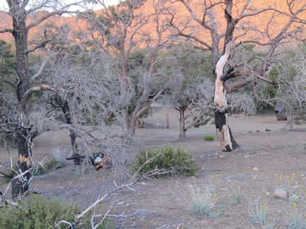 I saunter back to my tent past a vacant campsite at Mid Hills campground and wind down for the evening
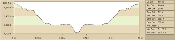 Pinto Mountain bike route elevation profile from Mid Hills campground (Day 4)
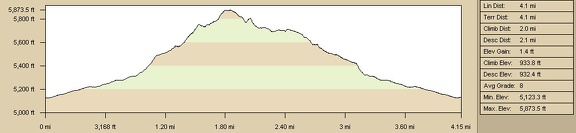 Pinto Mountain hike route elevation profile from Cedar Canyon Road area (Day 4)
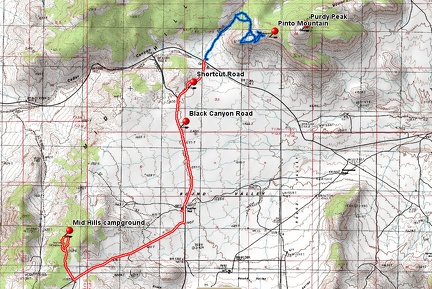 Pinto Mountain bike and hike route from Mid Hills campground (Day 4)