Home / Mojave Preserve and Desert bikepacking trips / Fall 2012: Mojave National Preserve bicycle-camping and hiking, Lanfair Valley loop / Day 3: To the Lost Campsite in Lanfair Valley from Slaughterhouse Spring, via Hart Mine Road 50
Despite traveling on some well-used roads (by Mojave National Preserve standards), I won't see any other people. I take a wrong turn near Hart and end up camping in a remote spot in Lanfair Valley. 19.4 bicycle miles and about 1200 feet of elevation gain.

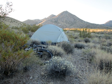 Another morning at Slaughterhouse Spring; nice!
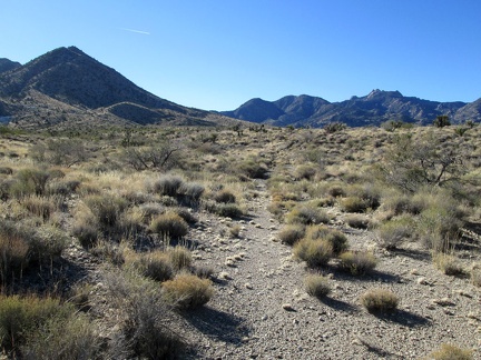 I walk down to the wash for my morning toilet run and notice the tracks of an old road no longer used
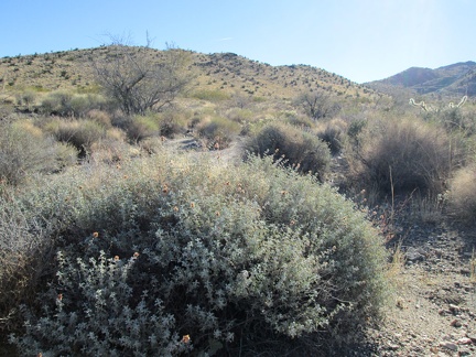 A big sage is sprouting some fresh-looking growth
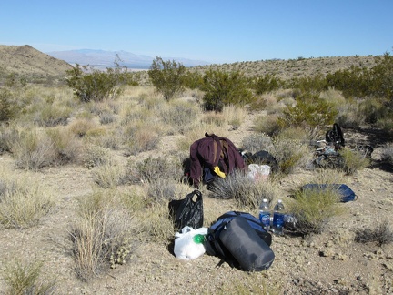 I've had breakfast, done my toilet run and lazed around a bit: now it's time to pack up the tent and move on
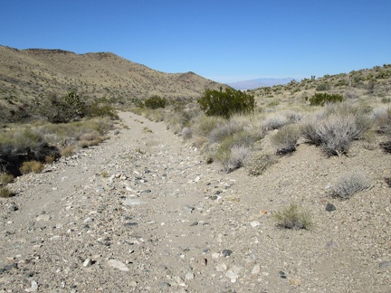 Packing up done! I ride the 3/4 down the bumpy hill to Ivanpah Road
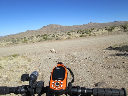 I arrive at Ivanpah Road and turn right to head up into the New York Mountains
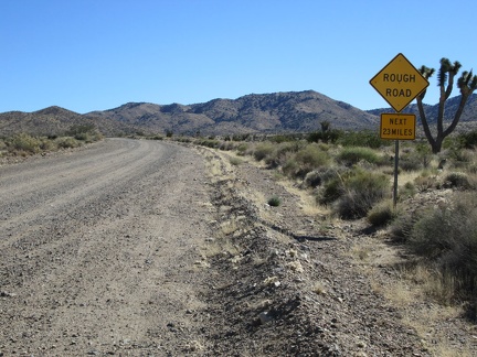 There's that threatening sign again on Ivanpah Road: Rough Road, Next 23 Miles
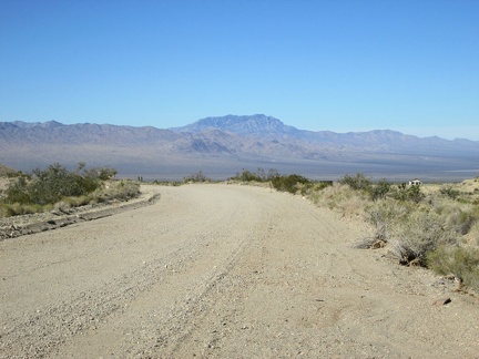 I ride a short distance up Ivanpah Road and turn back to take in the great view across Ivanpah Valley behind me
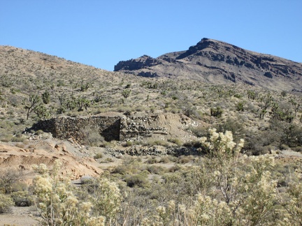 I pass the old stone foundation of something near Ivanpah Road
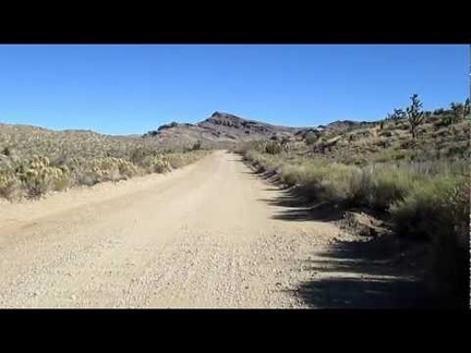 Riding up Ivanpah Road, Mojave National Preserve
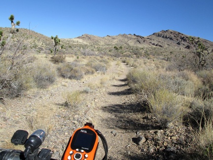 I ride a short distance up the road to Bathtub Spring, stash the 10-ton bike in some bushes and hike up to the spring
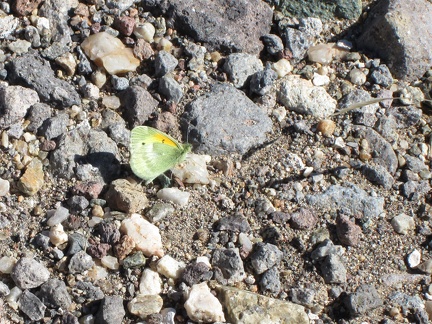 On the way to Bathtub Spring I pass several small, colourful butterflies
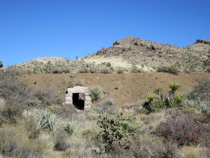 Before Bathtub Spring Road rises up to the old Ivanpah railway grade, I notice a drainage tunnel under the old track bed
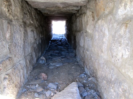 I'm surpised that this drainage tunnel is in such good condition
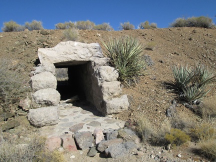 Close-up of the tunnel under the old railway grade
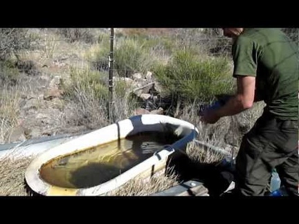 I arrive at Bathtub Spring, Mojave National Preserve and proceed to filter about two gallons of water
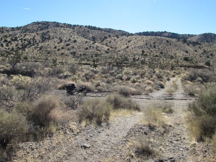 After filling up on water, I hike the 1/2 mile back to the 10-ton bike and resume today's journey toward the Piute Range
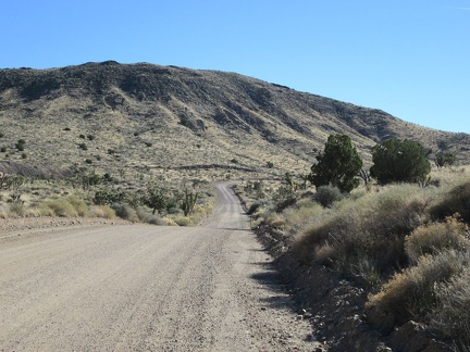 Back on Ivanpah Road, I'm at about 4600 feet elevation, almost at my high point for the day
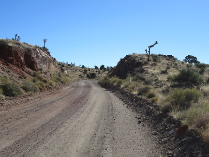 Ivanpah Road passes through a blasted slot through the rocky landscape
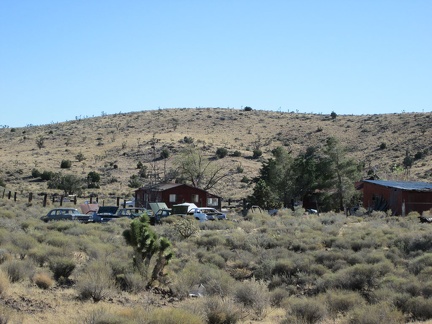 As I approach the old settlement of Barnwell, I'm compelled to stop and look at the old private automobile graveyard there
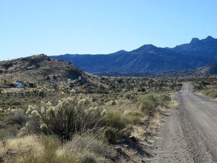 At 4800 feet elevation on Ivanpah Road, my high point of the day, I'll turn left on Hart Mine Road at Barnwell, 100 feet ahead
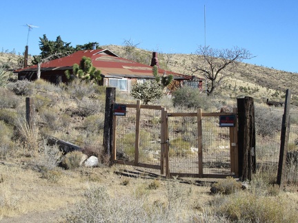 I take a peek at one of the old houses at Barnwell while riding by, as I like to do
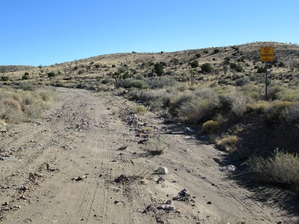 Parts of Hart Mine Road have a tendency to get a bit washed out
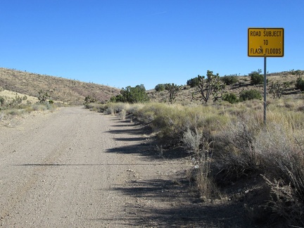 This sign explains why Hart Mine Road is sometimes in rough condition
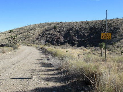 Open range on Hart Mine Road
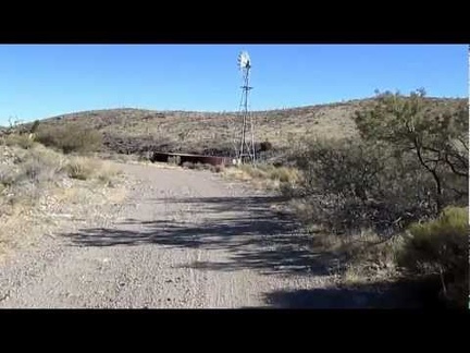 I ride toward a defunct windmill and water tank on Hart Mine Road
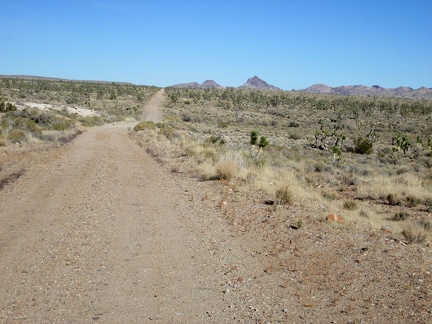 This part of Hart Mine Road follows an old railway grade that dates back to the old mining days
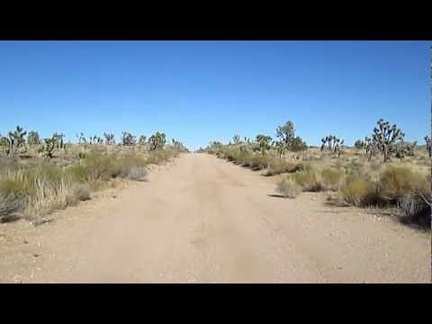 I like riding this straight stretch of Hart Mine Road and gaining a tiny bit of speed
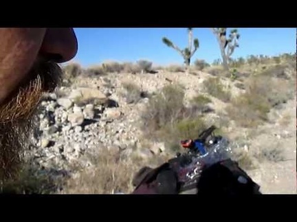 I stop for a Vietnamese-deer-jerky break in the Joshua tree forest along Hart Mine Rd
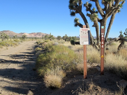 At this point, I'm now outside the Mojave National Preserve boundaries, and will be for most of the rest of the day
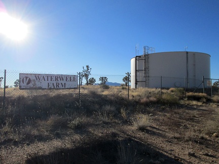 I pass Waterwell Farm, which appears to be a defunct modern water reservoir
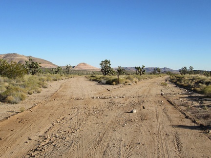 As I approach the Castle Mountains, the choice of possible routes to follow increases
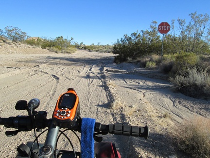 It's funny to run into a stop sign in the middle of nowhere near the old Hart Mine
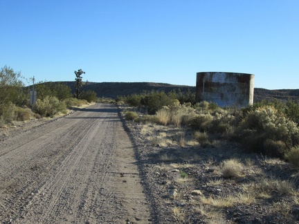 I come across another old reservoir along Hart Mine Road
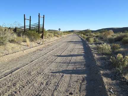 Corral remnants along Hart Mine Road
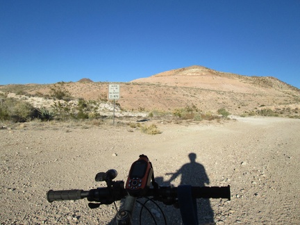 I stop at another junction near Hart to decide how I want to proceed
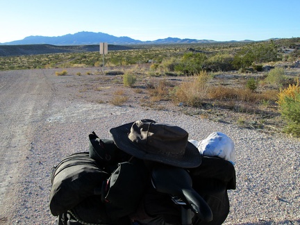 Before continuing, I look back to the New York Mountains, the area where I spent the last two nights, some 15 miles away
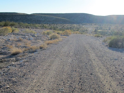 I decide to try this fairly well-maintained road as a route around the Castle Mountains, even though it's not on my map
 The road narrows and I find myself riding along a chain-link fence
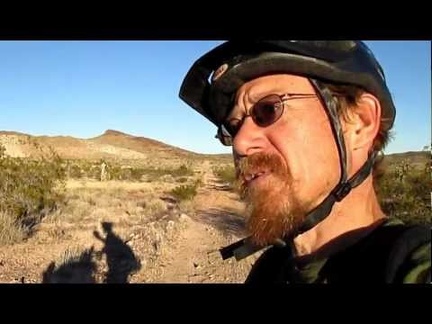 I've decided to call this The Lost Road, since I'm not exactly sure where it's leading me
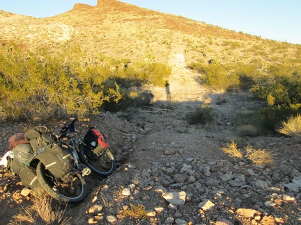 I'm not able to ride this faded road any longer, and the tire tracks I was seeing here have all but disappeared
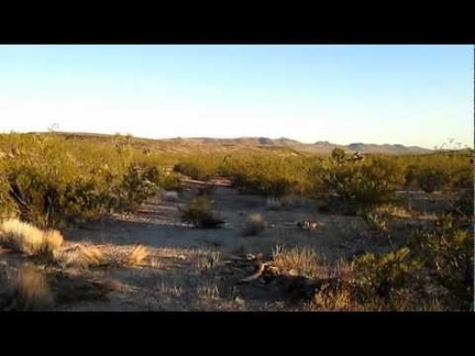 Contemplating my route here on The Lost Road...
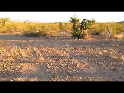 The 10-ton bike follows the tire tracks through the creosote bush scrub
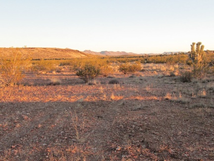 The tire tracks are really faint in some places and hard to follow, like here
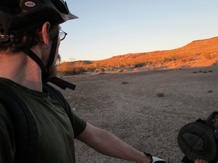 I arrive at a dried-up cattle pond, just before sunset
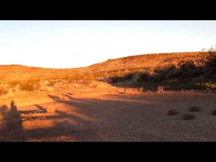 The dried-up cattle pond at sunset is a nice place to get some thinking done
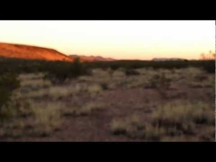 I locate The Lost Road by the dry cattle pond and start riding it
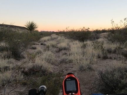 The 10-ton bike pushes ahead on The Lost Road, with significant GPS assistance
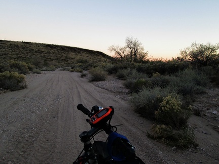 The Lost Road takes me into a wash briefly, with many tire tracks, before I return to the faded trail and find a campsite
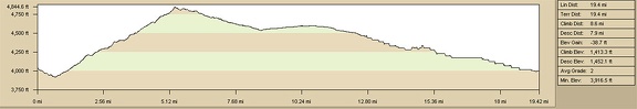 Elevation gain of bicycle ride to Lost Camp, Lanfair Valley, from Slaughterhouse Spring