Home 7119

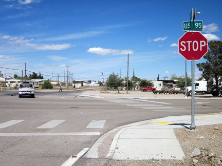 After seven miles, I arrive at the stop sign: I arrive at Searchlight, Nevada, population 576
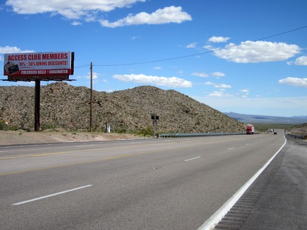 I pull in at one of Searchlight's two gas-station convenience stores, but no propane bottles are sold here
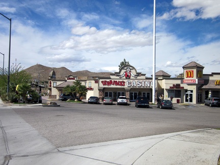 Of course, there's a casino next door (this is Nevada!) and it has a McDonald's, the only fast food in town
 At the south end of Searchlight, Hwy 95 leaves town for the open desert
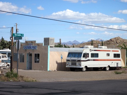 Sweet! I stumble across another, smaller, general store and gas station that carries the propane bottle I want!
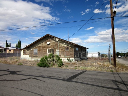 A lot of the older houses in Searchlight have a bit of old-style character, but need some work
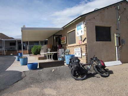 Across the road from the little general store is Searchlight's laundromat
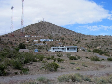 The hills in Searchlight provide a terraced effect in some neighborhoods
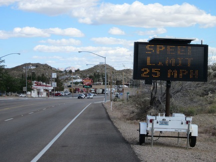 It makes a lot of sense to reduce the speed limit where it goes through town (crossing such a busy road can be interesting)
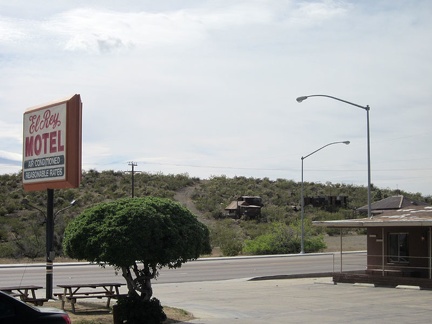 I decide to check in for a night at Searchlight's only motel; I'll check out that old miner's cabin across the road tomorrow
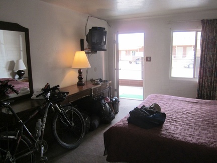 My room is clean, though the mattress rather worn-out, and it's bicycle-friendly
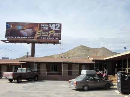 A billboard next to the Searchlight motel advertises a "luxury" motel elsewhere
 After a bla meal at McDonald's, I settle in for an evening of TV and writing notes in my brick-walled room
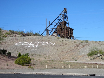 Breakfast in Searchlight means McDonald's again (ugh); I admire the old Colton Mine headframe on the way back to my motel room
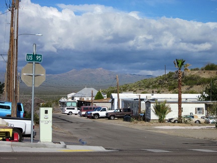 Looking down the street in Searchlight, I can see the forecast rain clouds hovering over the mountains where I'll be headed soon
 I think I'm leaving the Searchlight motel early, but the cleaning woman also arrives early, reminding me that check-out is 10h
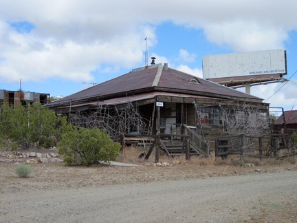 My first stop upon leaving the Searchlight motel is the old mining residences just across the road
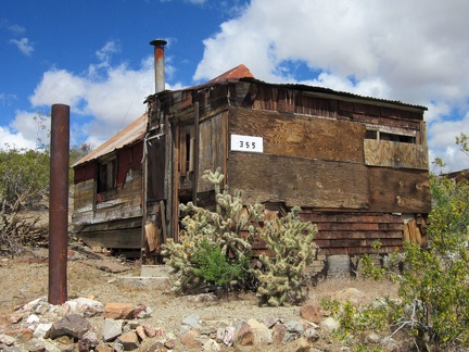 Nearby is a second building, a small cabin: all this in "downtown Searchlight"
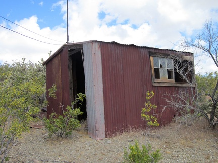 In the backyard sits a small outbuilding
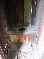 A major luxury...
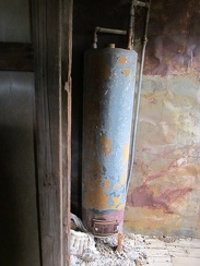 Another luxury: an old hot water heater
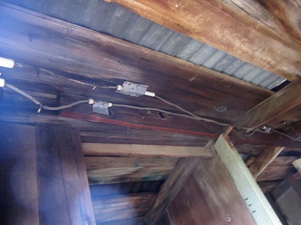 And perhaps the biggest luxury of them all: electricity
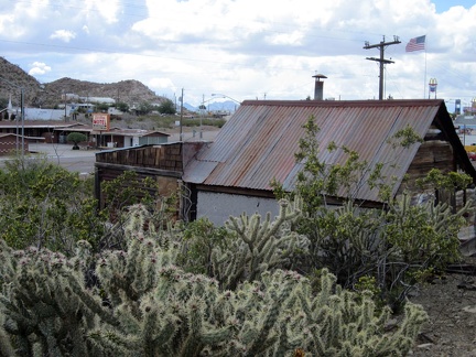 From behind the old miner's cabin, I look across the highway to last night's Searchlight motel
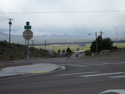 OK, time to start today's ride; I start riding down Nevada 164 into the grey clouds
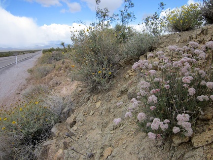 I spot a nice clump of pink buckwheat flowers along Highway 164 on the way out of Searchlight
 From Nevada 164, I zoom in across the valley and see some rain clouds over the Castle Peaks, my destination today
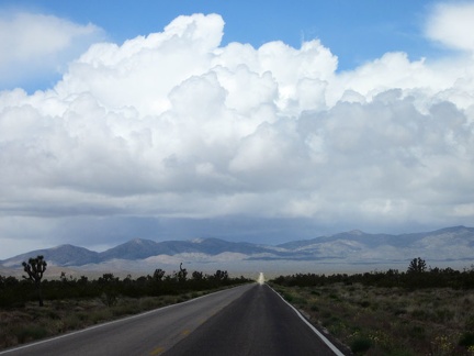 As I head into the clouds on Nevada 164, I see a little sunny spot on the road ahead
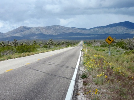 Indeed, the sunny spot on Nevada 164 stays put and I ride into it
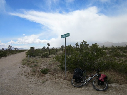 I reach Walking Box Ranch Road and it's time to ride up that way and leave pavement for a few days
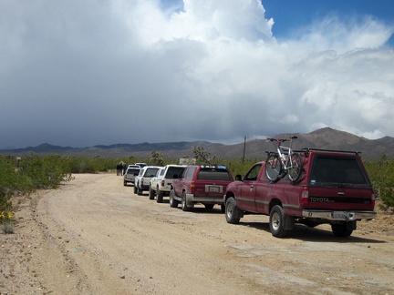 A row of 6 SUVs has stopped by the Walking Box Ranch, apparently preparing for a ride into the rain clouds ahead, like me
 I take a short break over by the Walking Box Ranch entrance; it's not open to the public, but it's nice to look at
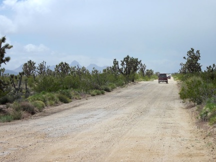 I pass the stationary 4WD folks and begin my ride up Walking Box Ranch Road; they soon depart too and pass me, one by one
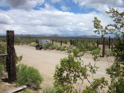 After half an hour, I take a short break at an old corral on Walking Box Ranch Road where I've stopped before
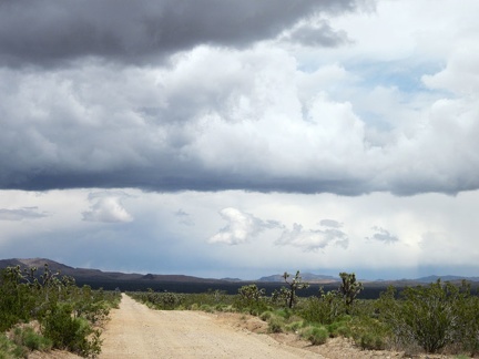 I'm often looking back behind me toward Nevada 164 and the Highland Range to take in the cloud formations
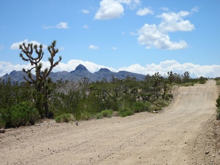 Though mostly gradual, Walking Box Ranch Road does have a few short rolling hills
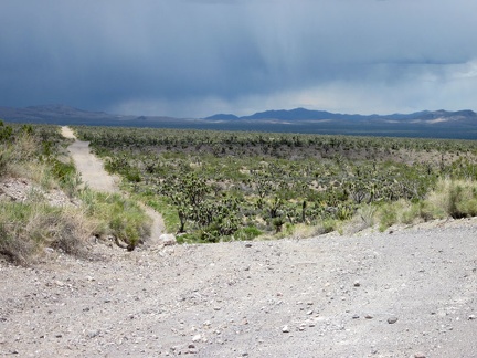 Looking back on Walking Box Ranch Road, it looks stormy over toward the McCullough Mountains where I camped 2 days ago
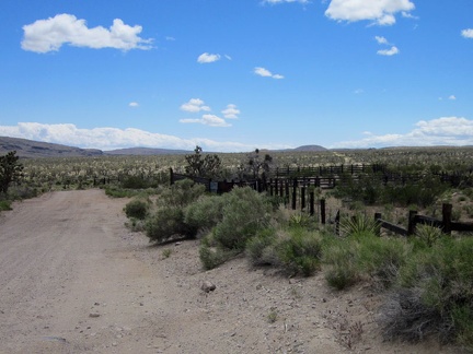 As Walking Box Ranch Road approaches the California border, I pass another old corral
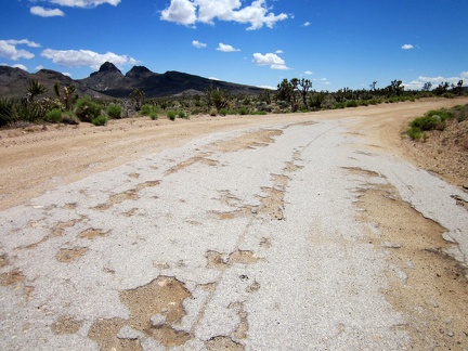 Here and there on Walking Box Ranch Road are bits of residual old pavement
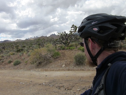 I'm feeling happy now that I'm seeing views of the Castle Peaks, Mojave National Preserve
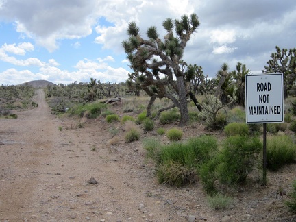 Walking Box Ranch Road is a "Road Not Maintained" on the California side of the border
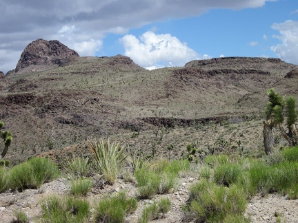 I pass the Castle Mountains area, just outside Mojave National Preserve, and remind myself to visit this area in the future
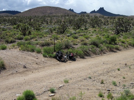 I'm going to leave Walking Box Ranch Road here and follow this smaller road at my left toward Castle Peaks
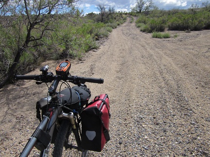 My new road, which I've not been on before, immediately drops into a sand-and-gravel drainage area
 Phew, my road rises out of the gravel onto a smooth surface and passes a "Entering Mojave National Preserve" sign
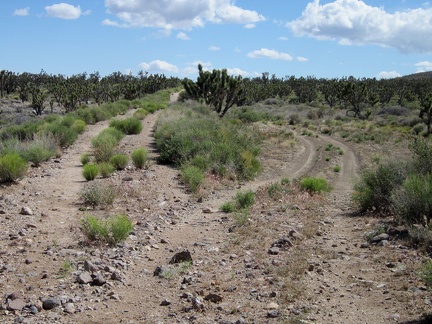 I reach a brief detour down and around a washed-out section of this road and it occurs to me that this is an old railway grade
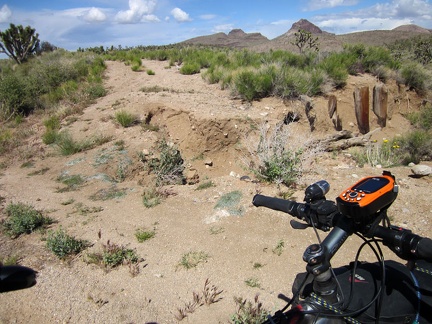 A close-up of the wash-out reveals buried posts that supported the old Barnwell and Searchlight Railway grade
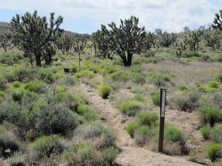 I pass an old road leading toward the Castle Peaks area, now closed by Wilderness markers
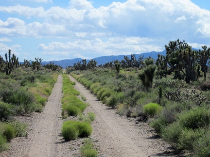 The Barnwell and Searchlight Railway grade is a great mountain-bike ride today, 100 years after the rail line was decommissioned
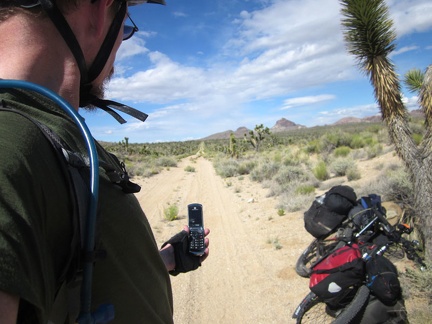 I take a quick break in the joshua-tree forest to enjoy the silence and try my cell phone; I also remove my sweater
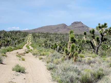 I zoom in behind me for a closer look at the old Barnwell and Searchlight Railway grade that I've been riding for a while
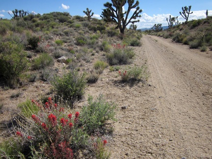 I haven't seen many wildflowers along the old railway grade, so a patch of paintbrush really catches my attention when I pass by
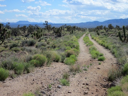 Suddenly, I have a view across Lanfair Valley all the way to Tabletop Mountain (the distant flat-topped hill, of course)
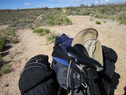 I take the detour around another wash-out on the old Barnwell and Searchlight Railway grade
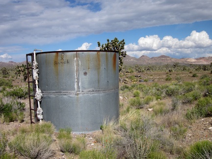 I pass an old OX Ranch water tank, so I'll be leaving the Barnwell and Searchlight Railway grade shortly
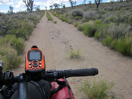 I start riding, and sometimes walking, the 10-ton bike up Castle Peaks Road, the final leg of today's trip
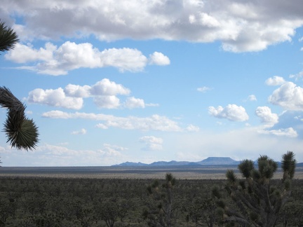 As I rise slowly, the views across Lanfair Valley become increasingly expansive
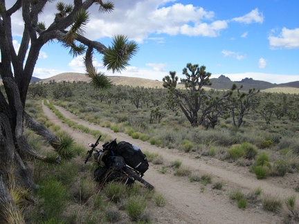 Castle Peaks Road heads across the land toward a slot between the rolling hills at upper-left
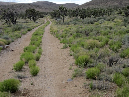 10 minutes later, I'm almost at the next landmark, where Castle Peaks Road arrives at the slot in the rolling hills
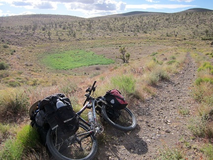 Between the rolling hills, Castle Peaks Road rises up a short steep hill onto a man-made berm overlooking a dry reservoir
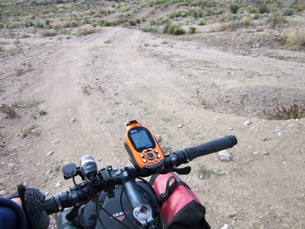 The short, rugged descent down the hill off the dam on Castle Peaks Road would require high clearance
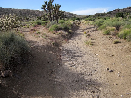 Castle Peaks Road beyond the dry reservoir continues to deteriorate
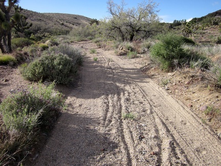 Immediately after the little detour on Castle Peaks Road is another sandy stretch, too deep for me to ride the 10-ton bike
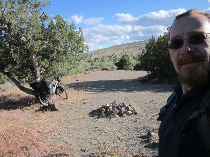 My wish is granted when I reach a well-used campsite a short distance ahead, just off Castle Peaks Road
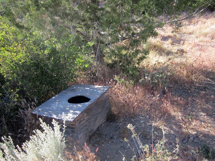 I go for a short walk as I try to decide where to erect my tent, and I discover this luxury outdoor toilet
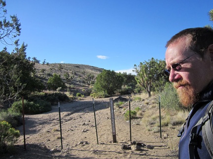 I have to laugh while walking around my new campsite; I discover that I'm at the end of Castle Peaks Road without realizing it
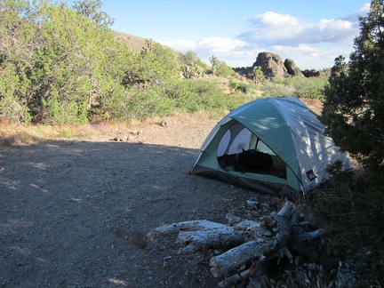 I set up camp next to a juniper tree, hoping that it might provide a bit of a wind break should I need it
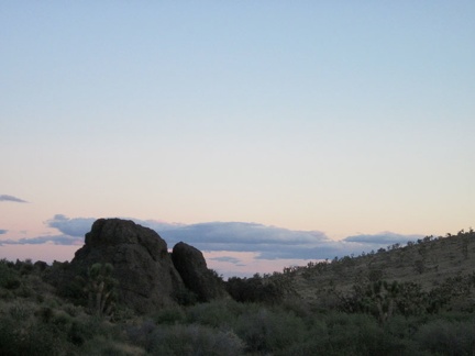 Since I'm between a couple of hills, I don't get to see a full sunset here at the end of Castle Peaks Road
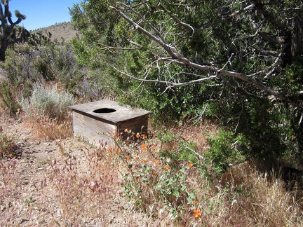 Morning at Castle Peaks Road means I get to try out the deluxe facilities while listening to the quail; it works well!
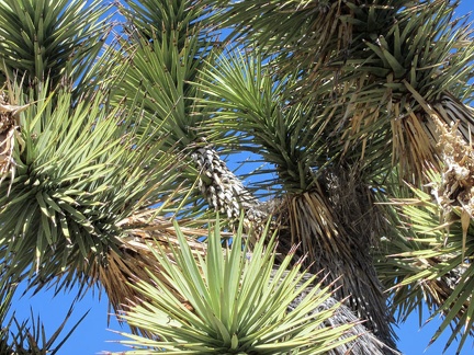 I notice bird activity near my tent and locate a nearly invisible bird's nest in an elbow of this joshua tree at centre-right
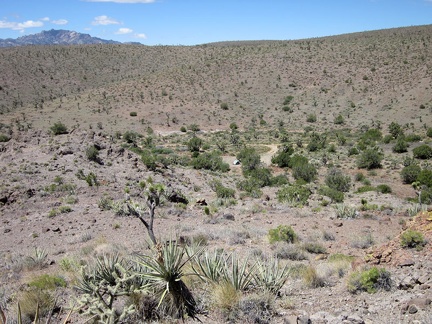 I start today's hike by climbing up a hill and looking down at my tent in the little valley at the end of Castle Peaks Road
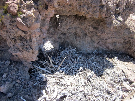 Someone has a nest here sheltered against a boulder on top of the hill above my tent
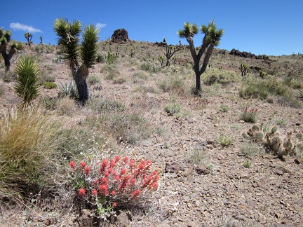 I pass a few brilliant Indian paintbrush plants as I further climb the hills above my tent
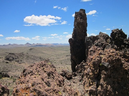 I'm now at one of the high points of this ridge in the Castle Peaks area, at about 5225 feet elevation
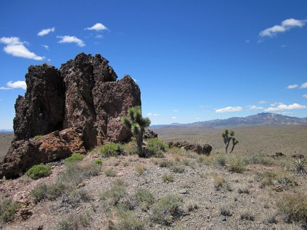 Good views over to the New York Mountains peaks from this Castle Peaks ridge
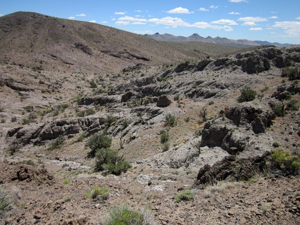 From this ridge, the only way is down, so I continue eastward down into the canyon below
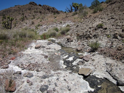 To my surprise, I find a small stream in this unnamed Castle Peaks canyon
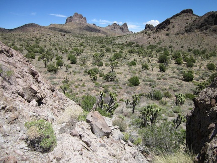 I climb up the next hill and down into a juniper-studded valley
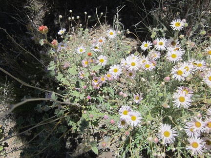 I encounter a nice patch of Mojave asters on the way down into the valley below Castle Peaks
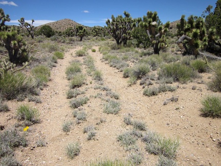 In this little valley below Castle Peaks, I reach an old closed road, a perfect trail after a bit of cross-country hiking
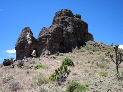 The cool rocks formations in the Castle Peaks area are endless; this one harbors a small natural arch
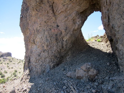 I crouch and walk through this little rock arch in the Castle Peaks area
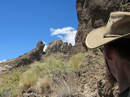 On the other side of this Castle Peaks arch is a rock formation that looks like a tortoise, with its head extended
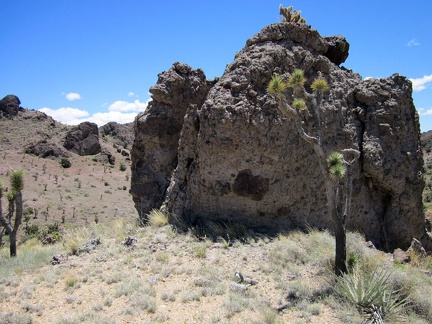 I climb over the next hill (a 75-foot rise), upon which I find a boulder with a tuft of cactus on its head
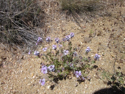 I find a few Gooding's verbenas blooming in the wash
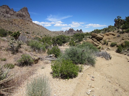 Now that I'm in a smooth-bottomed wash in the Castle Peaks area, my hiking speed is picking up a little
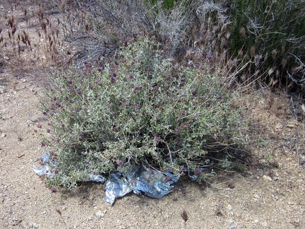 In this Castle Peaks wash, I encounter my first stray balloon of the day, trapped in a desert sage bush
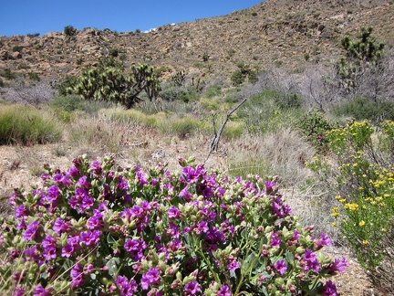 In this Castle Peaks wash is the most lush Desert four o'clock (Mirabilis multiflora) that I've seen so far on this trip
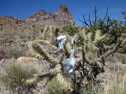 Six minutes after my first balloon discovery, I stumble across a second one in the same Castle Peaks wash
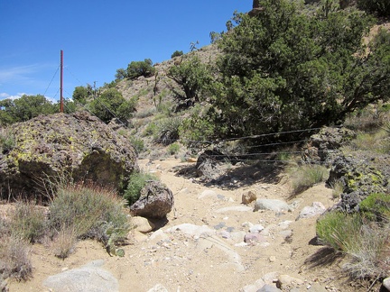 Hiking down this Castle Peaks wash is fun (it's a bit downhill), and then I reach this fairly recent barbed-wire fence
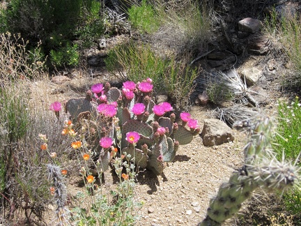 A nice juxtaposition of pink cactus flowers and orange desert mallows in this Castle Peaks wash
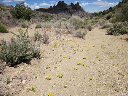 Yellow Eriophyllum wallacei flowers are scattered intermittently in this Castle Peaks wash
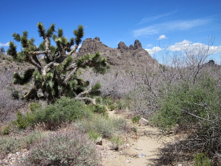 A few stretches of this Castle Peaks wash have a lot of thorny Catclaw acacia bushes to avoid
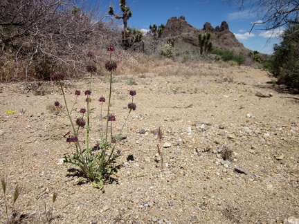 A few rather large Chia sages grow in this Castle Peaks wash
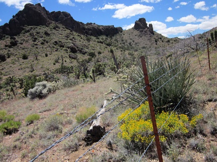 I climb out of the wash and crawl under the barbed-wire fence again, in order to continue hiking toward Indian Spring
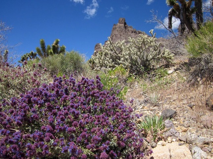 Near the barbed-wire fence is the brightest blooming desert sage I've seen yet on this trip
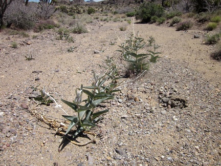 I drop down into the next wash that my route randomly crosses
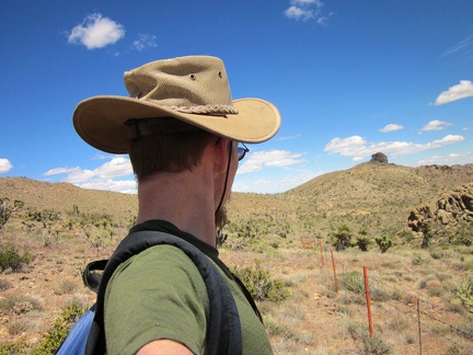 I continue hiking more or less along the barbed-wire fence
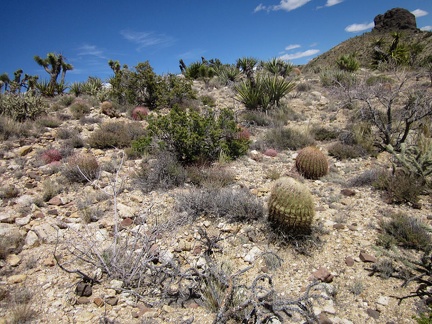 I climb over several low hills on my cross-country route toward Indian Spring
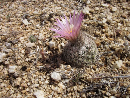 I notice a nice little "pineapple cactus" on my cross-country trek over the low hills
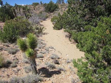 As I drop down into yet another wash, I realize I'm quite close to Taylor Spring (dry), where I hiked last year
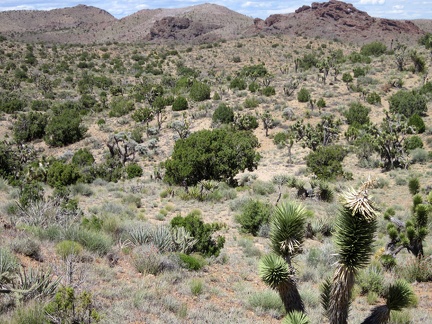 I climb up another hill on the way to Indian Spring and recognize the valley of junipers and joshua trees in front of me
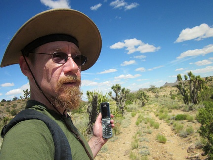 My cross-country hiking ends temporarily when I hit the old closed road to Indian Spring, which serves as a nice trail
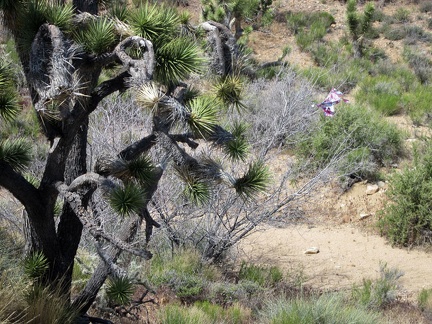 As I approach Indian Spring, I notice a balloon fragment tangled in a catclaw bush
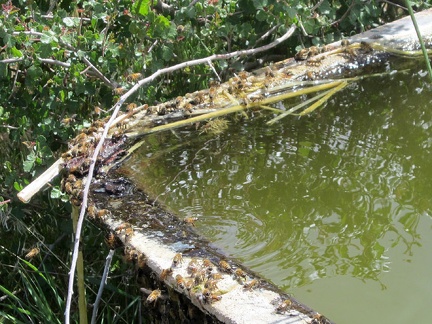 Well, here I am at Indian Spring, New York Mountains, Mojave National Preserve
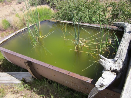 Just like last year, bees are buzzing around the shallow water where it overflows from the Indian Spring trough
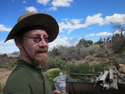 I leisurely filter 3 1.5-litre bottles of that greenish water from the Indian Spring tub and it tastes pretty good
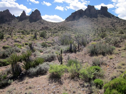 I leave Indian Spring and start my way cross-country up to a saddle between two sets of pinnacles in the Castle Peaks
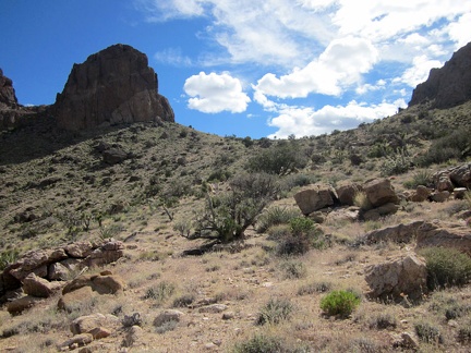 The climb up to this Castle Peaks saddle is about 500 feet elevation in about 3/4 mile from Indian Spring down below
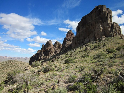 I'm almost there; just a little further and I'll be on that saddle between the two Castle Peaks pinnacle `groups`
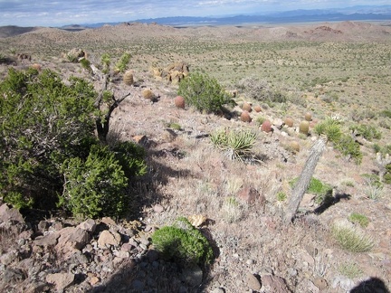 Great views back down into the valley behind me from this Castle Peaks saddle
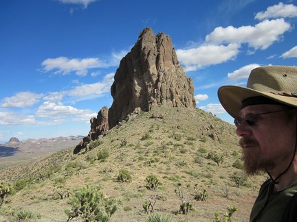 Arrived! I sit here on the Castle Peaks saddle for a good 15 minutes, with pinnacles in front of me, and behind me
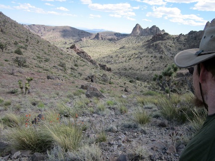 From the Castle Peaks saddle, I can zoom in across the valley and just barely make out the Searchlight area
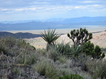 As I plot the continuation of my hike, I look down into a secluded valley on the other (west) side of the Castle Peaks saddle
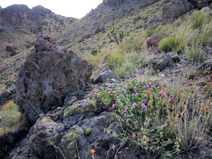 Instead of dropping down into the valley, I decide to skirt along this hill and hike over to the next Castle Peaks saddle
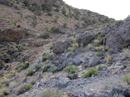 I get close to the slot in the hills and will hike up to the little pass between them at upper-right
 Looking to the south, I'm now in the upper part of that small valley between two Castle Peaks pinnacle `groups`
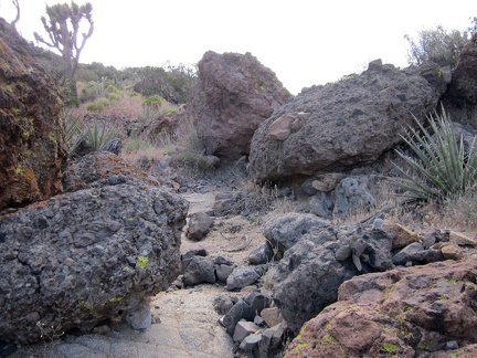 I walk up a boulder-strewn drainage area toward that pass in the Castle Peaks
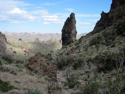 The views behind me, toward Walking Box Ranch Road to the south, are striking in the late-day sunlight
 I reach this pass in the Castle Peaks and have an unexpected view to the north across the Ivanpah Valley
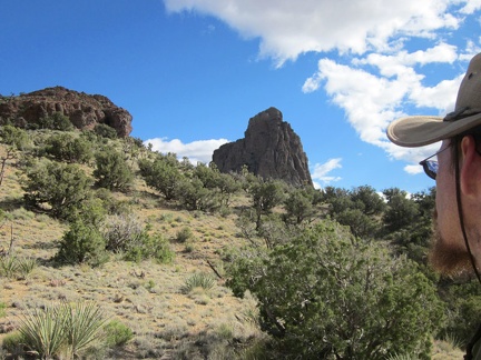 One short, steep hill and I'll be up at the next Castle Peaks pinnacles
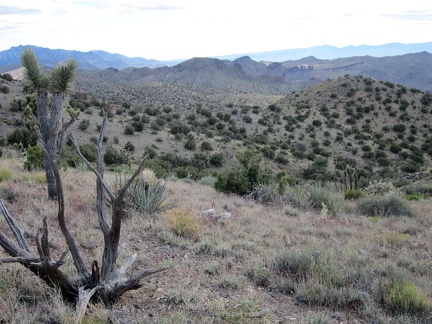 To the west, I get a view I haven't seen before, with the New York Mountains peaks at upper-left
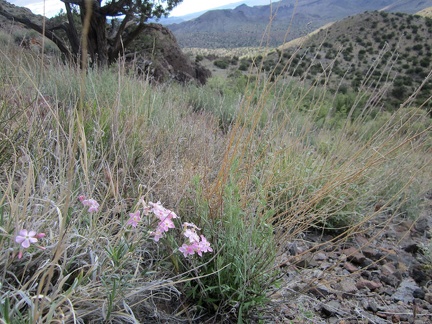 Phlox flowers on the north side of the Castle Peaks hills
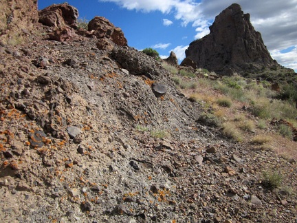 My hike up to the pinnacles quickly gets a bit steep and slippery due to loose rock, so I veer to the right a little
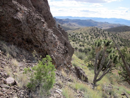 I'm happy to reach the top of the hill; it's pretty steep here
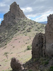 This Castle Peaks set of pinnacles is just as awesome as the last one; the one in front of me is Dove Peak
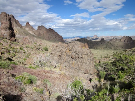 Well, I guess I'll drop down into the valley between these Castle Peaks hills and start heading back to my campsite
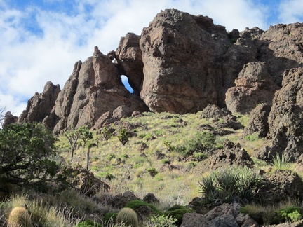 I notice a natural arch in the Castle Peaks pinnacles as I start my way down the hill
 A few nice rock outcrops dot the hike down the wash into the valley below the Castle Peaks
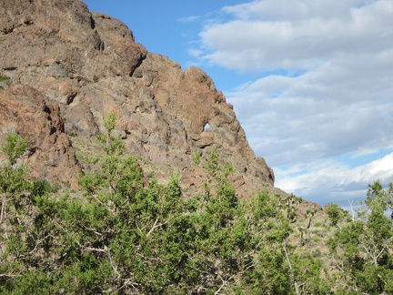 Oh, another little hole in the Castle Peaks rocks
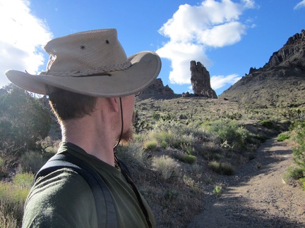 I take a look behind me as I walk down the hill away from the Castle Peaks
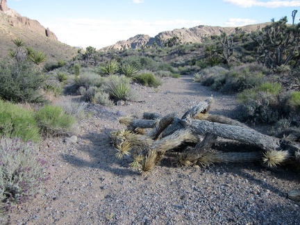 A fallen joshua tree lays in this wash below the Castle Peaks
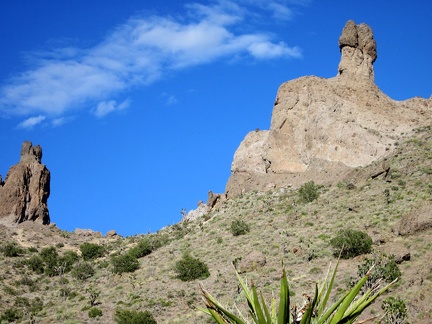 This pinnacle in the Castle Peaks is rather phallic
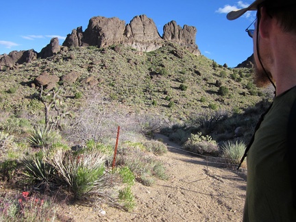 Oh, that barbed-wire fence; I forgot I might encounter this again
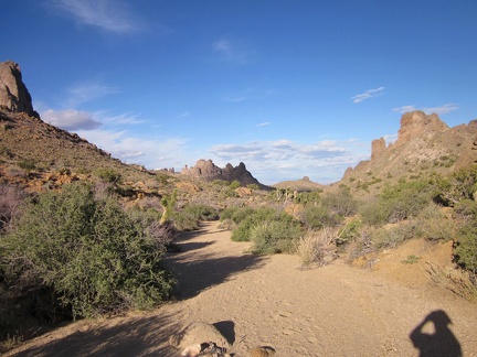 I'm now walking up a wash that I hiked down earlier today, but this time I'll go all the way to the crest ahead
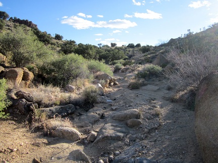 The sandy wash radiates from the golden end-of-day sunlight
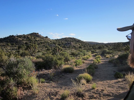 After another 20 minutes, I reach the top of the wash and locate the old Castle Peaks road
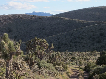 The old Castle Peaks road leaves the pinnacles area and dips down between rolling hills on the way back to my campsite
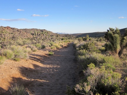 Some stretches of the old, closed Castle Peaks road are quite eroded
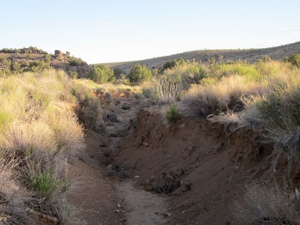 Erosion is so severe in a few spots on the old Castle Peaks road that the roadbed is almost unrecognizable
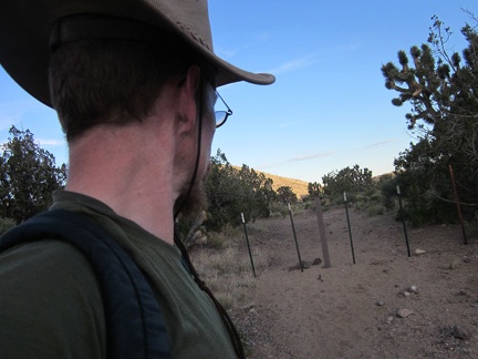 I reach the Wilderness boundary and exit onto the part of Castle Peaks Road that is still open to vehicles
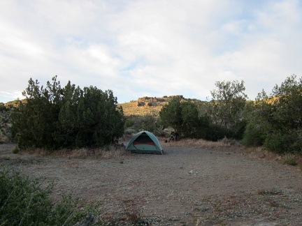 Home for the night at the Castle Peaks trailhead
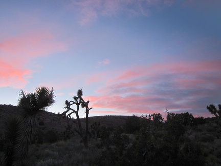 I don't get sunset between these hills near Castle Peaks, but I do see good sunset colors on the clouds
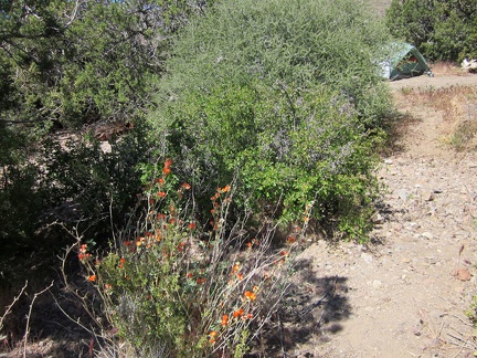 Morning #2 at the end of Castle Peaks Road is warm and sunny
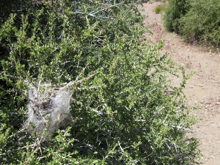 Insect webs (caterpillars?) on a Desert almond bush near my tent
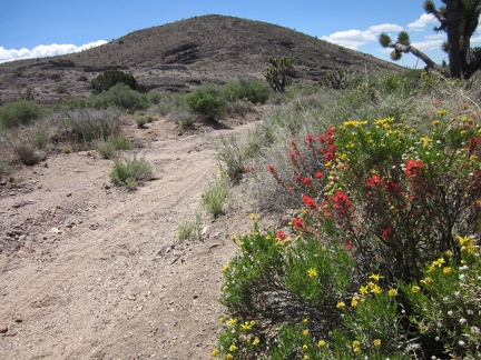 Today's hike begins by walking about 1/3 mile down the non-Wilderness section of Castle Peaks Road
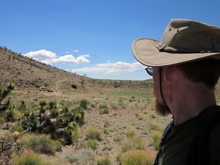 I veer to the west (right) when I reach the dry reservoir 1/3 mile down Castle Peaks Road, instead of staying on the 'main road'
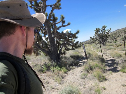 I hike past another set of Wilderness markers on the west side of the Castle Peaks Road dry reservoir
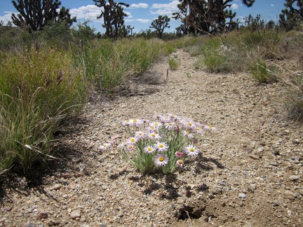 A few Mojave asters are still blooming in this joshua-tree forest
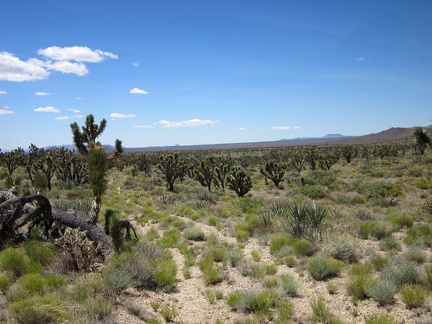 The former ranch road cuts across a wide-open area in the New York Mountains foothills
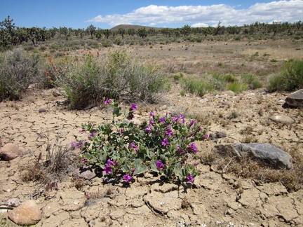 I reach another dry reservoir with a Desert four o'clock blooming on the "shoreline"
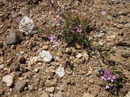 I've seen these tiny pink flowers so many times, but can't remember what they are
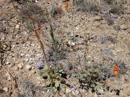 Miniature high-Mojave flower garden
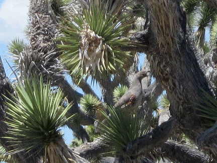 I start walking up a wash away from the dry reservoir and inadvertently scare a few quail into a joshua tree
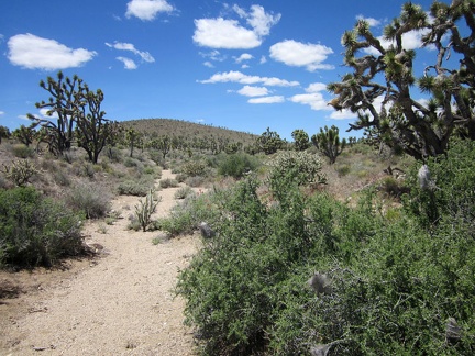 I'm heading up a small drainage now toward that rounded hill on my way to the Bathtub Spring Peaks area
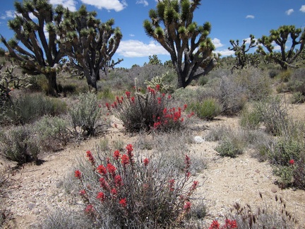 Does one ever see enough scarlet Indian paintbrush while hiking in the Mojave Desert?
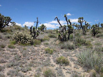 The drainage wash has fizzled out and I find my self hiking uphill and cross-country amidst some gangly joshua trees
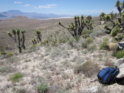 To my surprise, the crest of this anonymous wash in the New York Mountains foothills overlooks some of the Ivanpah Valley; wow
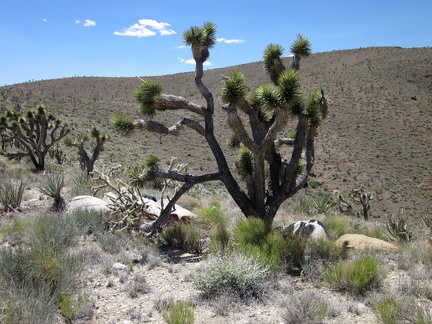 From this overlook above Ivanpah Valley, I'll hike to my left a bit to avoid the gulley, then to the right up the big hill
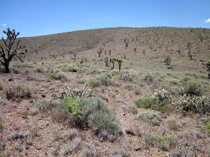 When I reach the base of the higher hill ahead overlooking Ivanpah Valley, it doesn't look like it will be as steep as expected
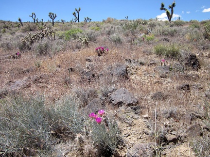 Climbing this hill toward the Bathtub Spring Cliffs requires some care to avoid the rocks and ground-hugging cacti
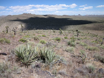 I'm high enough now that I can see behind me to the Castle Peaks (center-left) and the Castle Mountains (center-right)
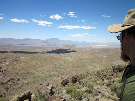 I arrive at the top of the hill, which I'll call 'Bathtub Spring Peak,' since it has no official name
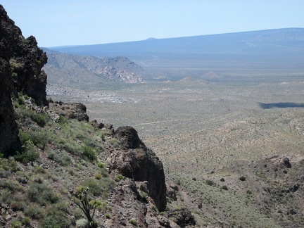 From this spot on Bathtub Spring Peak, I get a view of Cima Dome's distant, gentle curve that I haven't had before
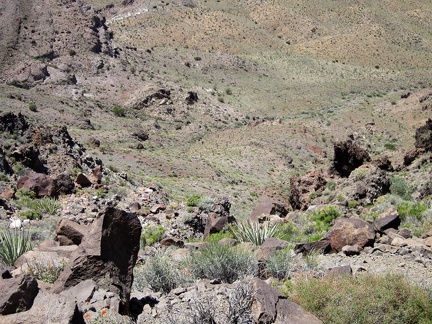 It's a steep drop from Bathtub Spring Peak down to the badlands below
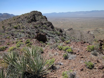 I'll walk over to the high point of Bathtub Spring Peak, that big rocky lump ahead
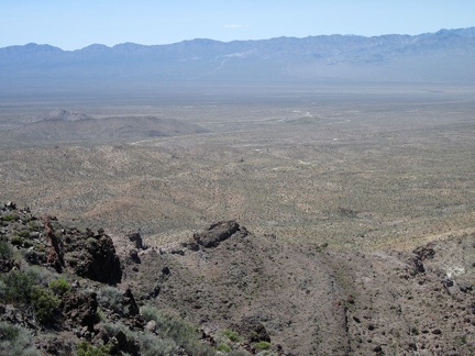 Looking across Ivanpah Valley from Bathtub Spring Peak, I can make out a distant road leading up into the Ivanpah Mountains
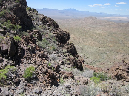 Willow Wash, where I'll be hiking in a while, is in front of that hill in the middle ground
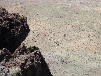 Another steep drop on the north face of Bathtub Spring Peak
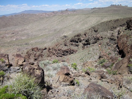 Looking back from Bathtub Spring Peak, I can see over to the Castle Peaks pinnacles where I hiked yesterday
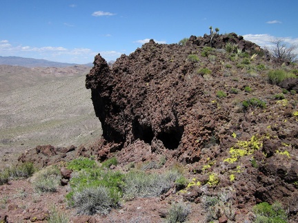 Walking along the crest of Bathtub Spring Peak, I begin thinking about the next part of today's hike
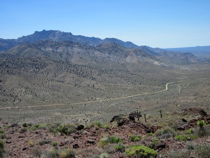 From the west end of Bathtub Spring Peak, I can see clearly down to Ivanpah Road, and over to the New York Mountains peaks
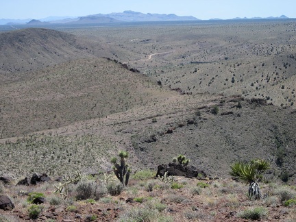 I examine the southward view from Bathtub Spring Peak, since this will be my downhill route in a few minutes
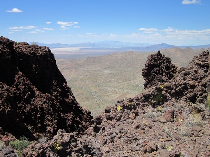 One more glance from Bathtub Spring Peak toward Ivanpah Dry Lake, then it's time to start heading downhill
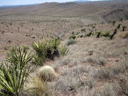 I begin the short steep hike from Bathtub Spring Peak down to Bathtub Spring itself, following a drainage corridor
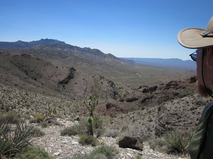 The hike down the slope to Bathtub Spring is not fast, since it's steep, but it's enjoyable
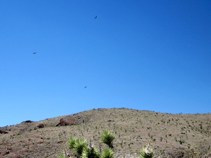 On my way down to Bathtub Spring, I look back to hear several noisy hawks hovering in the sky
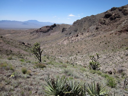 I'm almost down in the Bathtub Spring canyon now
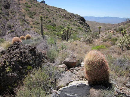 A few barrel cacti greet me as I arrive in the Bathtub Spring wash
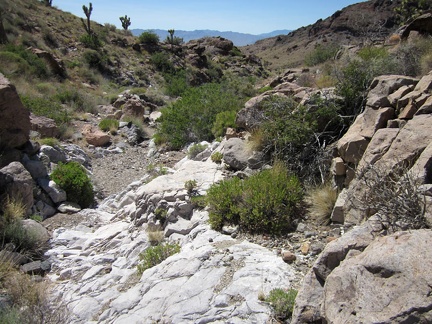 I always enjoy hiking down winding, rocky washes like this one on the way to Bathtub Spring, New York Mountains
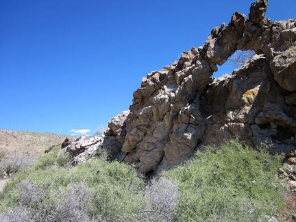 Nice, a little natural arch near Bathtub Spring, New York Mountains
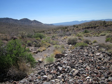 At the lower end of Bathtub Spring wash, a lot of small, loose rock makes hiking a little slower
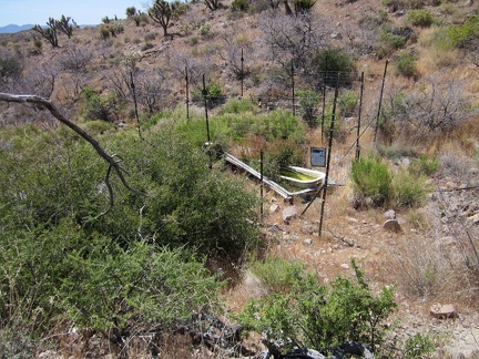 I check my GPS and climb over a small hill to reach Bathtub Spring; there it is, in a wire cage!
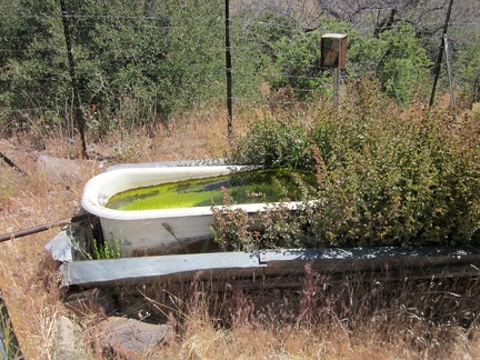 Bathtub Spring in the New York Mountains is true to its name and has a bathtub, inserted into an old rusted cistern
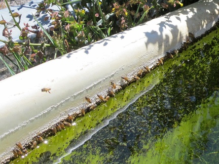 New York Mountains' Bathtub Spring is home to hundreds of happy bees
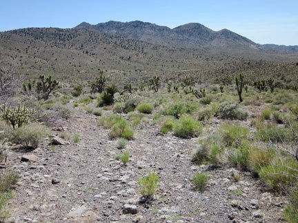 I walk a short distance down the old road that leads away from Bathtub Spring to meet the old Ivanpah railway grade
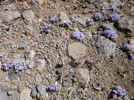 I pass a patch of those tiny purple flowers I've been seeing occasionally
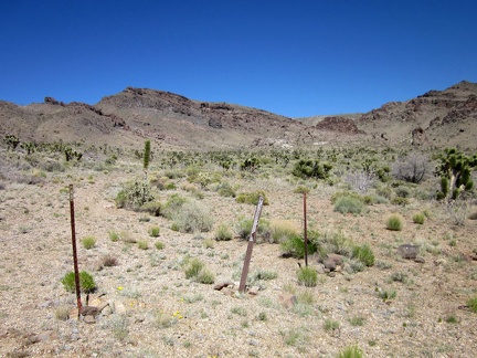 I arrive at the bottom of Bathtub Spring Road and exit the Wilderness boundary
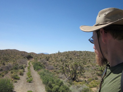 Here I am now at the old Ivanpah railway grade, which I never got around to visiting while passing by on previous trips
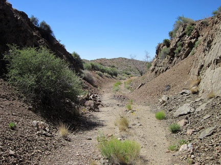 It obviously required a lot of work to slice the old Ivanpah railway grade through the hills a century ago
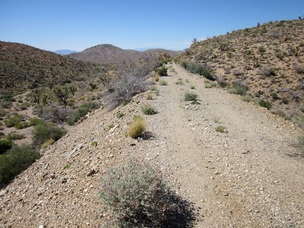 Piling the earth for the raised Ivanpah railway bed in low areas would have been as much work as cutting through the hills
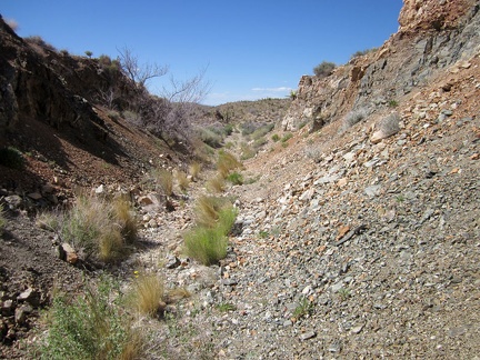 As I continue hiking along the abandoned Ivanpah railway grade, I notice that the road deteriorates
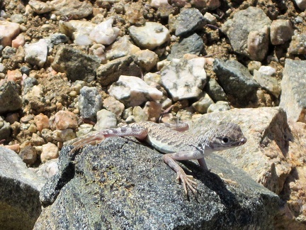 I've seen a lot of lizards scurrying around today, and finally I manage to photograph one!
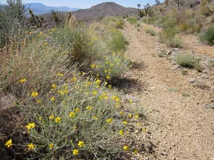 Vegetation is slowly encroaching on the old Ivanpah railway grade
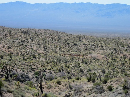 On some stretches of the abandoned Ivanpah railway grade are good views into the old Vanderbilt mining district
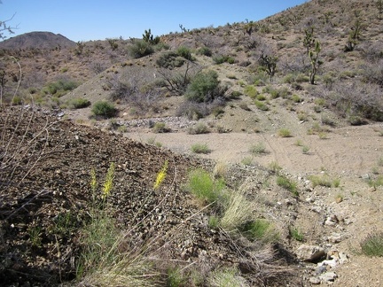 Ooops! A total wash-out of the old Ivanpah railway grade
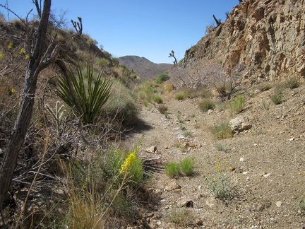 I climb back up onto the Ivanpah railway grade after the wash-out and it's another slice through the rocks
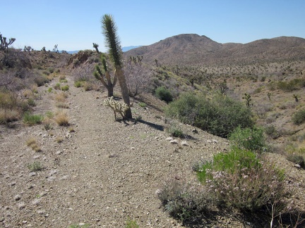 After a fun, level half hour on the old Ivanpah railway, it's time to climb down and hike cross-country over to Willow Wash
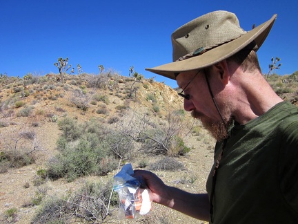 But first, I'll stop to finish off this last delicious piece of orange-flavored chocolate
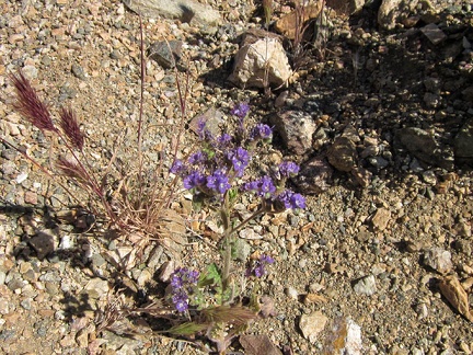 Purple phacelia flowers (Desert canterbury bells) as I approach Willow Wash
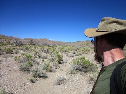 I'm now in Willow Wash, Mojave National Preserve, at the lowest point of today's hike: 4175 feet elevation